Table of Content
Trail Ridge Road | Introduction
Trail Ridge Road isRocky Mountain National ParkThe most famous scenic drive, the 48-mile road connects Estes Park and Grand Lake on the east and west sides of the Rocky Mountain National Park. For those who have limited time or prefer to use the river cruise method to enjoy the Rocky Mountain National Park, driving through the Trail Ridge Road can be a great way to see all the forests, tundra and other landscapes in the park, and the CP value is super high. The CP value is super high.
North of Trail Ridge Road, there is another parallel road, Old Fall River Road, which can be combined with Trail Ridge Road to make a loop. Anyone who has been here before knows that the most convenient place to find a hotel in the vicinity of Rocky Mountain National Park is Estes Park. If you stay in Estes Park, when the weather is suitable, many people will choose to drive from Old Fall River Road to the Alpine Visitor Center and then turn around and go west to east on Trail Ridge Road to make a loop. The weather is favorable.
What is the best price for accommodation in Estes Park?
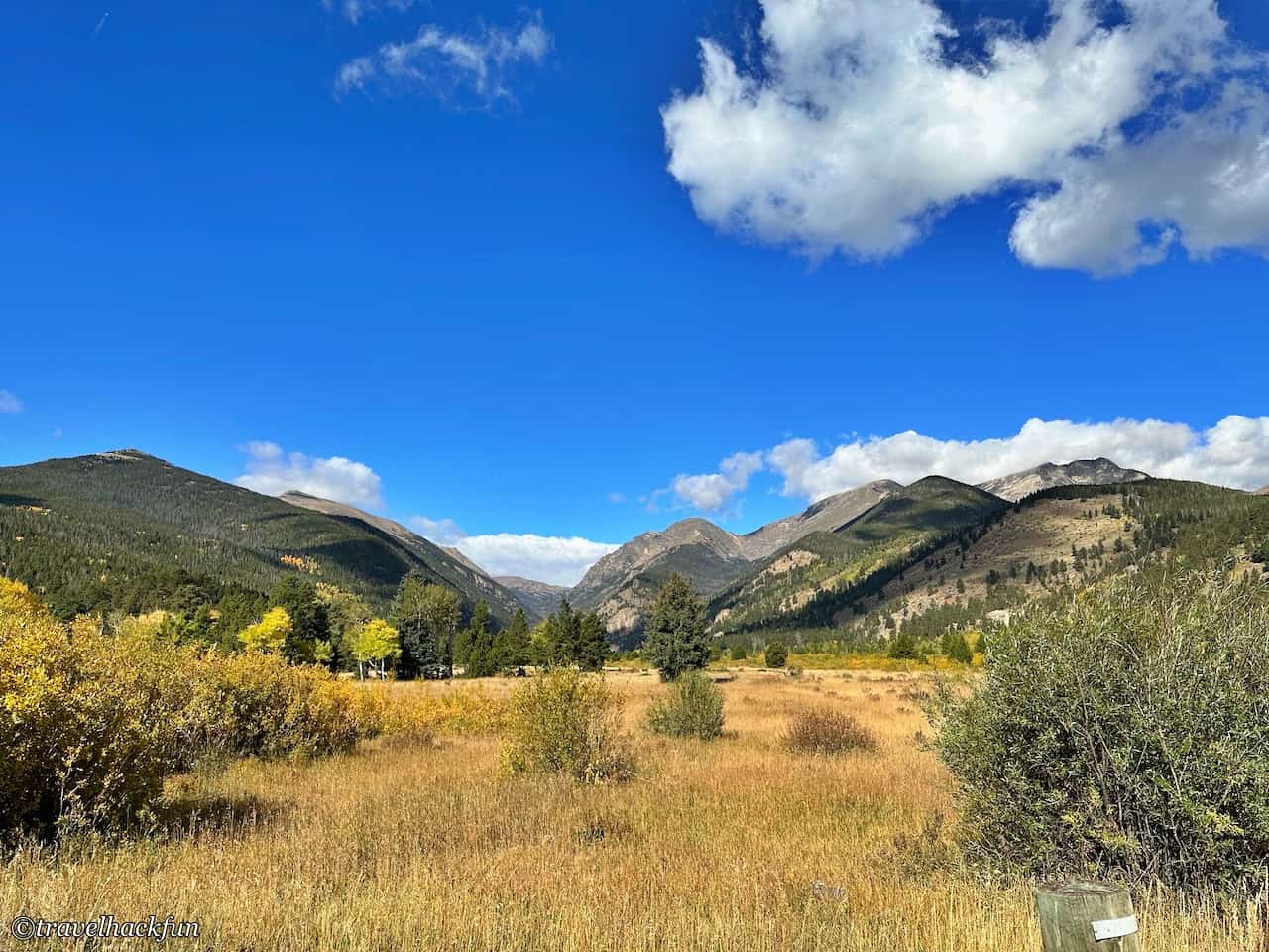
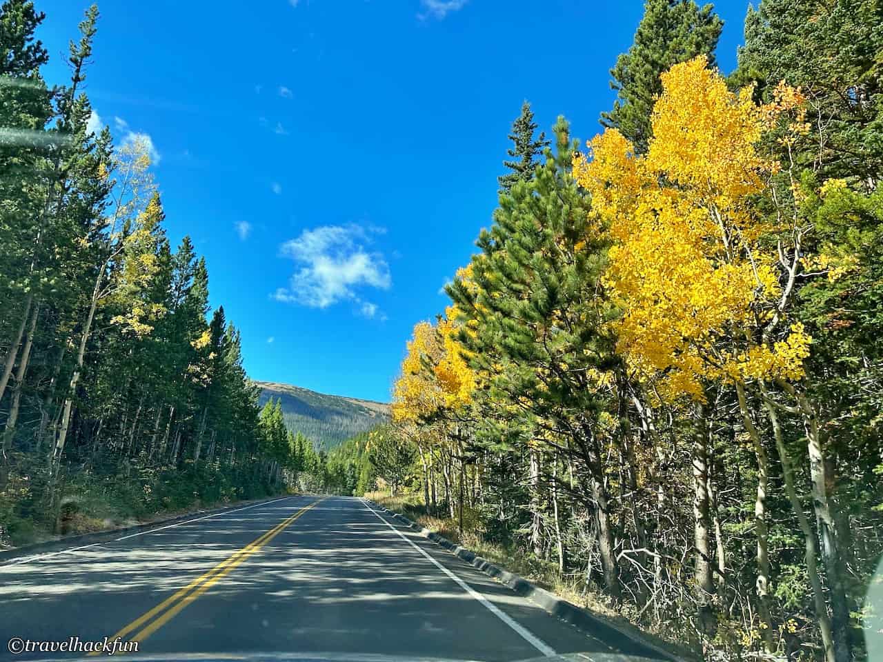
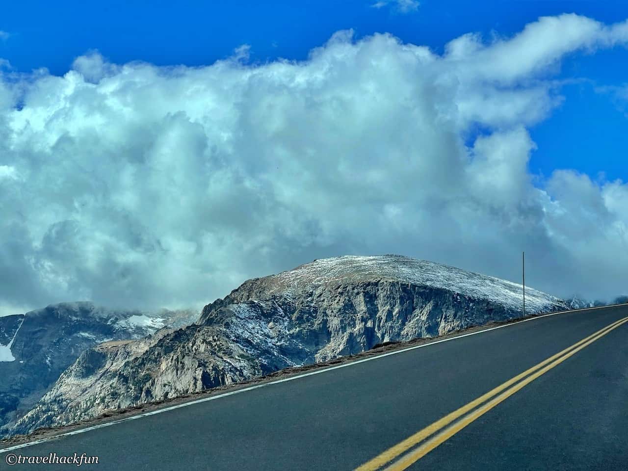
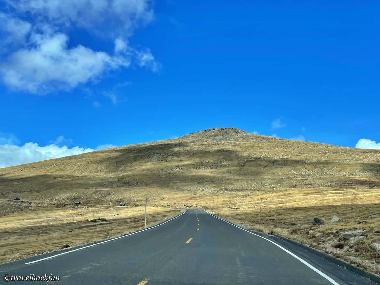
If you want to take this route, you can enter through the entrance of Fall River Visitor Center. However, since this is the highest elevation scenic road in the U.S., the opening time is affected by the weather, and at least part of the road will be closed whenever it snows, so it will be closed in winter or spring and fall when the weather is colder, so those who want to take this scenic road can go up first.National Parks WebsiteCheck the opening status of the day. On weekends and holidays, there is a lot of traffic on the road, and some of the smaller sightseeing spots have very little parking space, so it's easier to come on weekdays.
Let's take a walk from east to west and see what beautiful sights you can see along the way.
Attractions | Beavor Pond
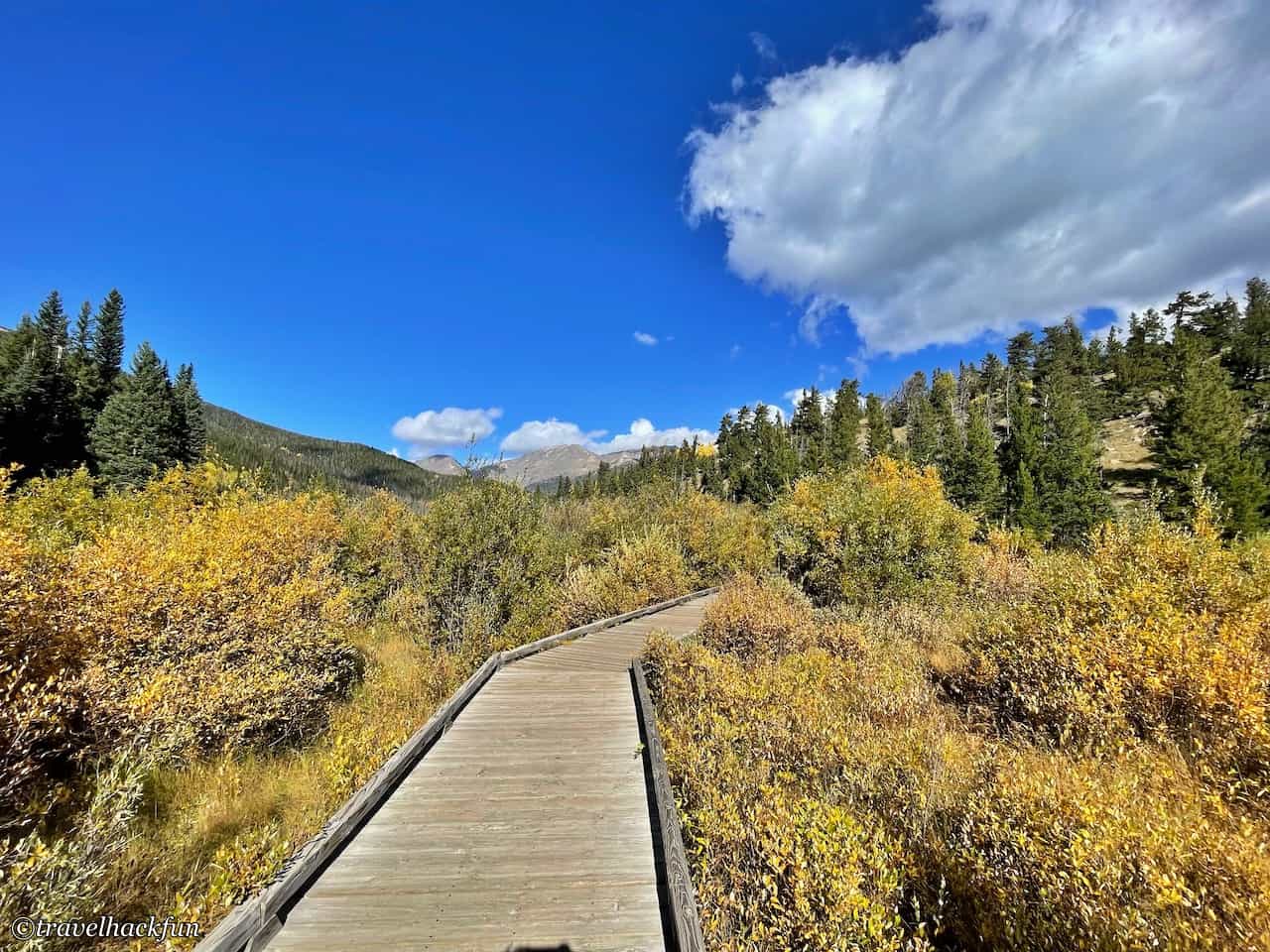
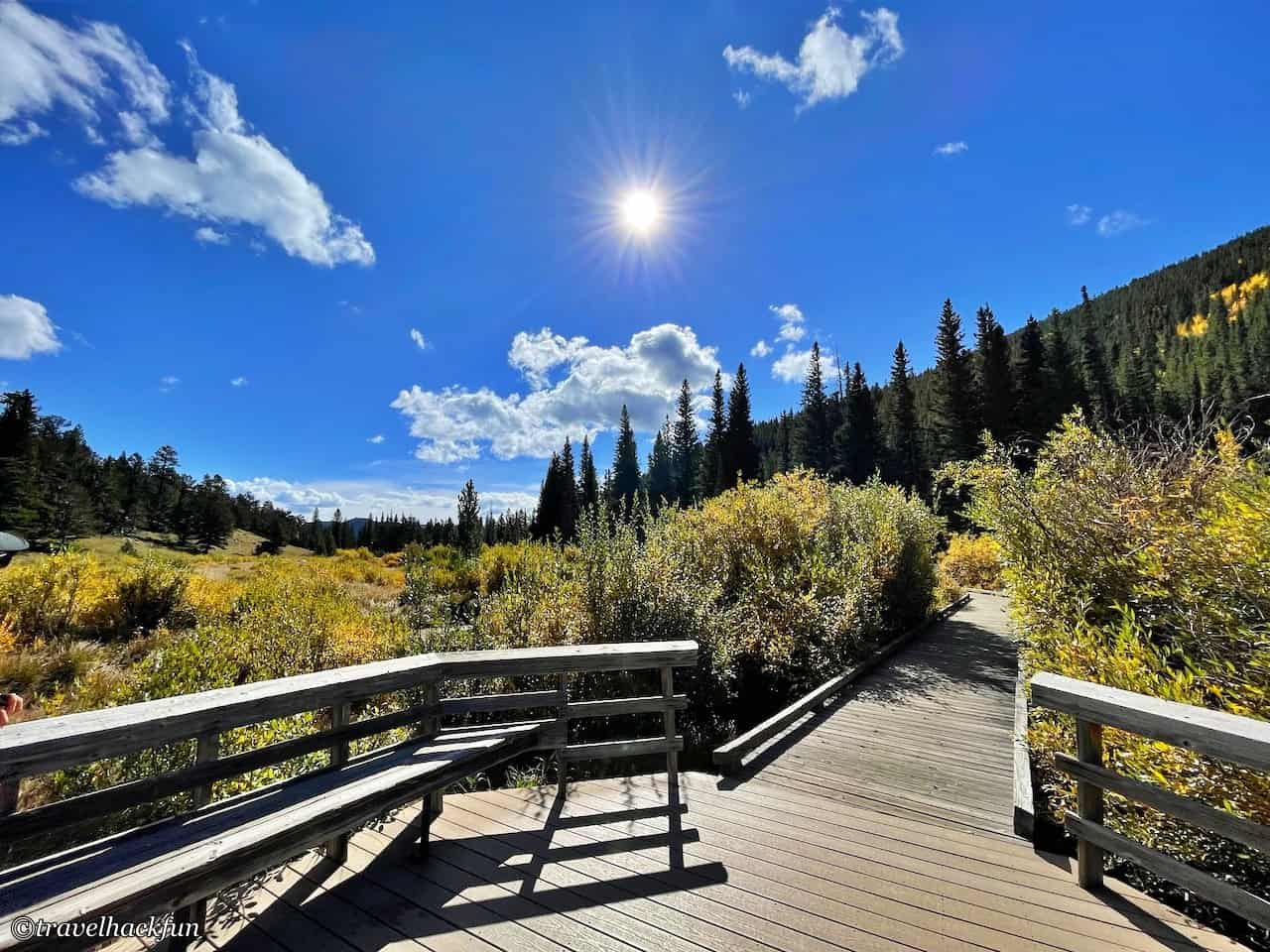
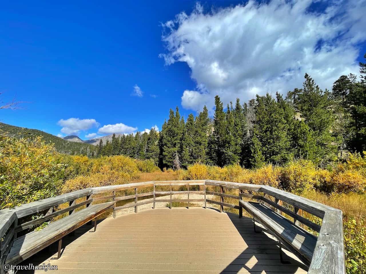
Entering Trail Ridge Road from Deer Mountain's fork, Beaver Pond is the first lookout we will pass on Trail Ridge Road from east to west, a very short 0.2 mile trail, a place to observe the wetland ecology.
Attractions | Hidden Valley
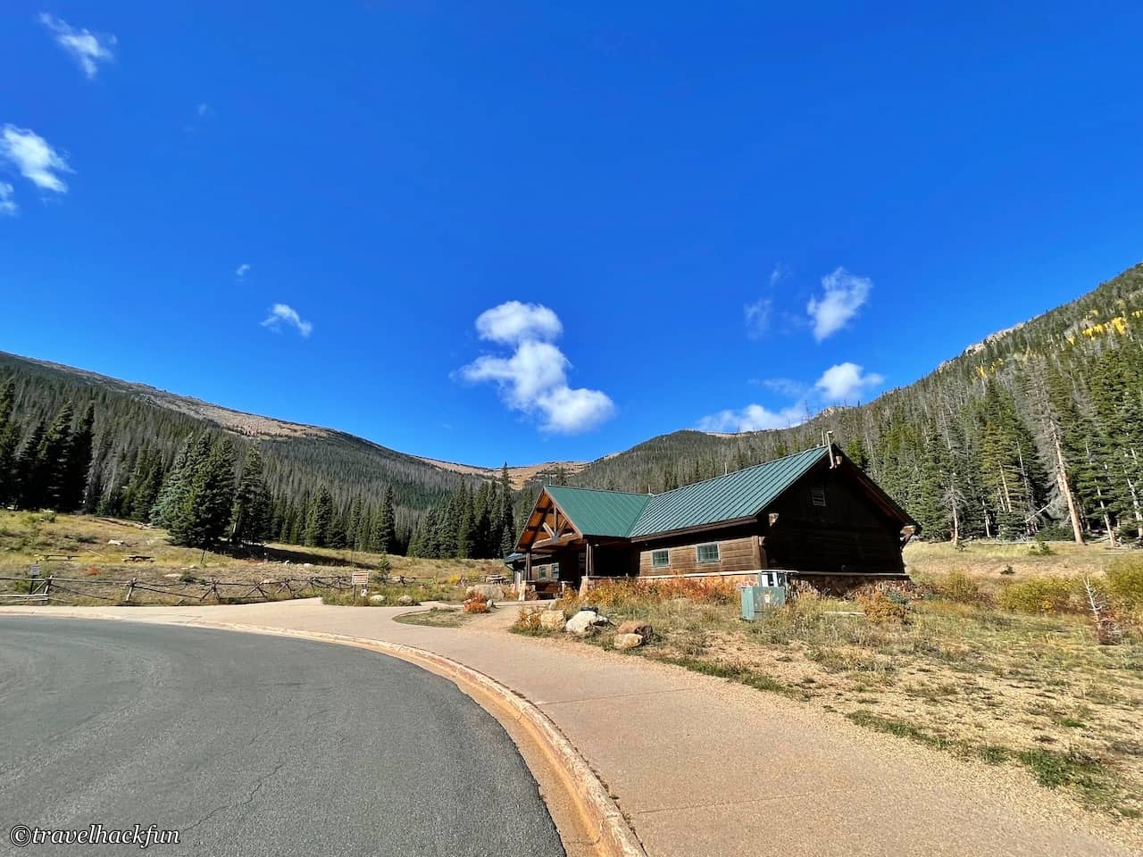
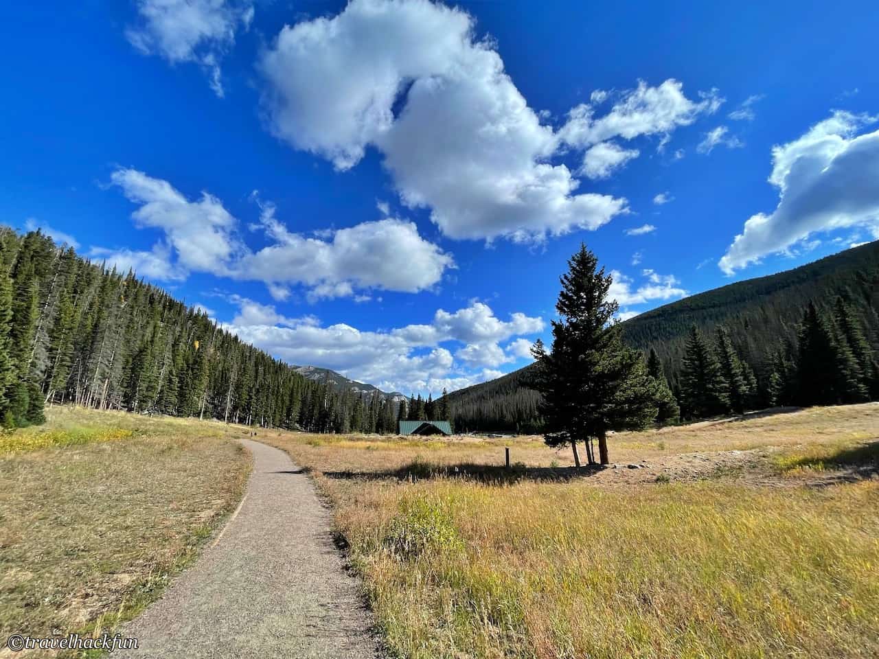
Hidden Valley has a large picnic area and a small visitor center where you can take a break, and there is a slightly long and gentle old-growth forest trail called the Hidden Valley Interpretive Trail in the back, which is full of beautiful wildflowers in the spring, and you can play sledding in the winter, so bring your own equipment if you come in winter. You can bring your own equipment if you come in winter. In fact, there used to be a ski lodge in this place, but now it has been demolished, so that this place can be restored to a more primitive natural scenery.
Viewpoints | Many Parks Curve Overlook
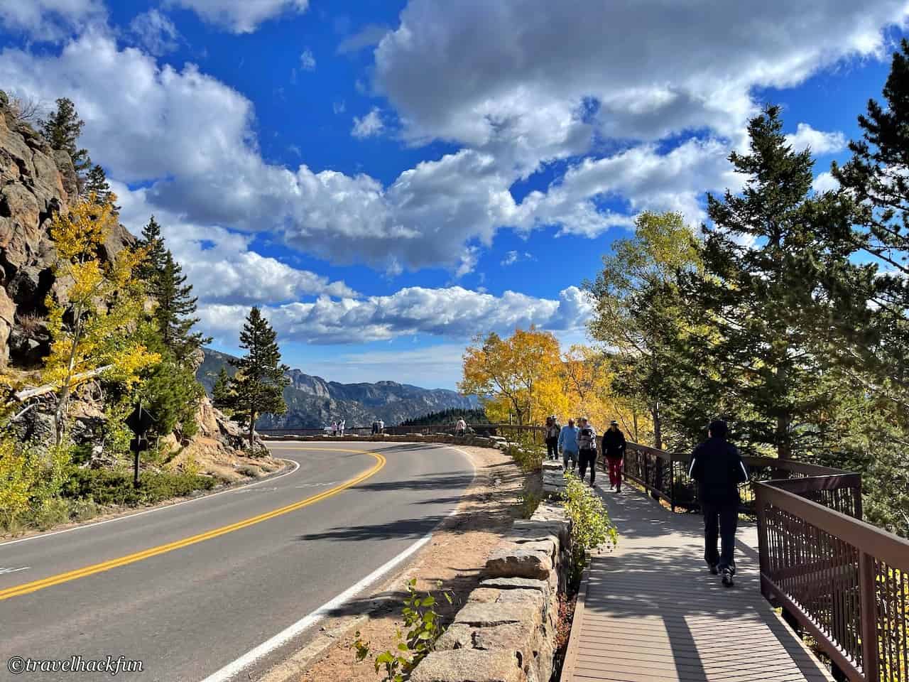
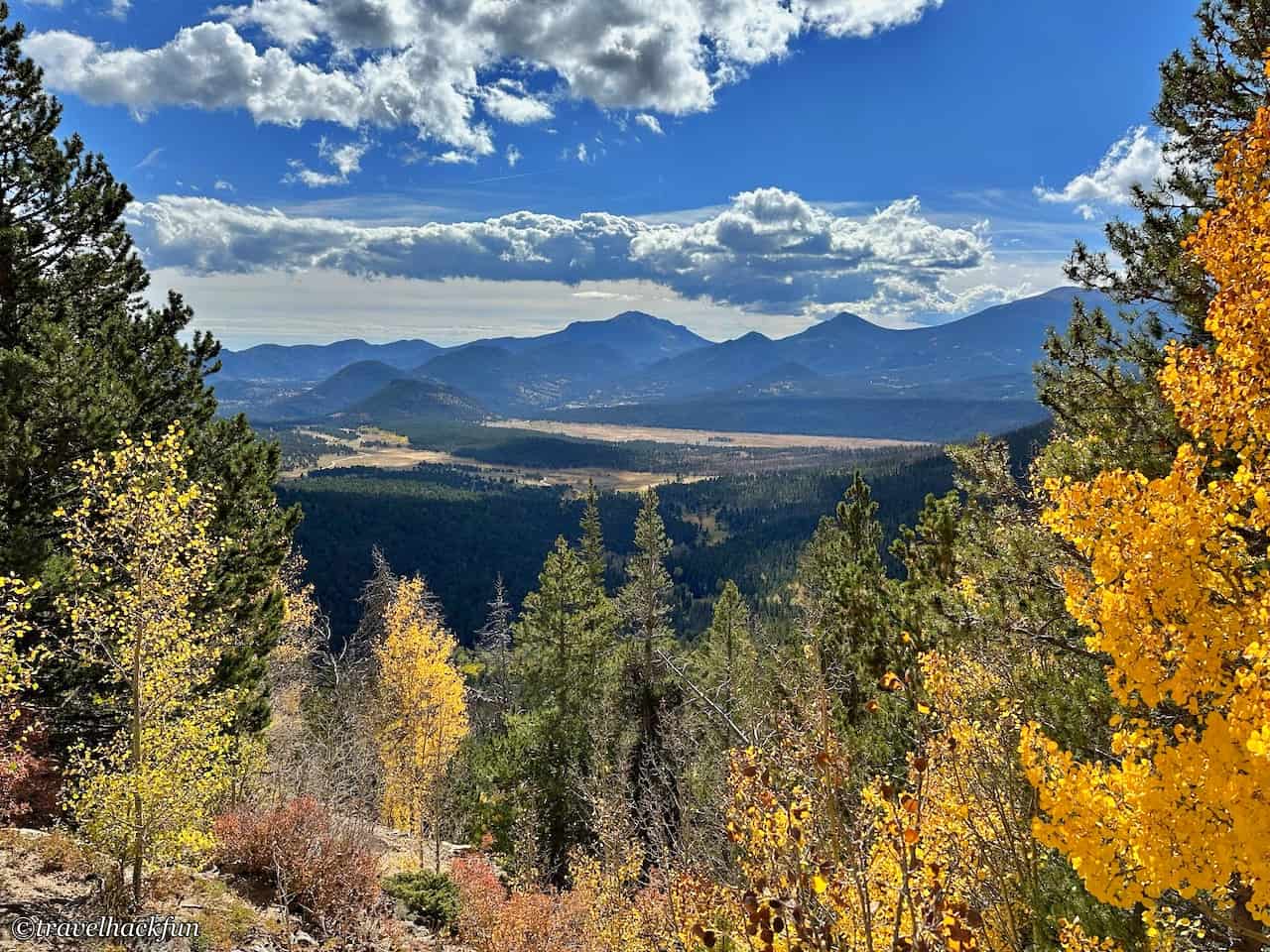
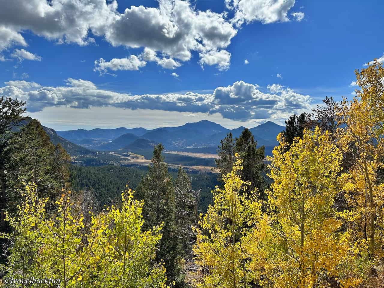
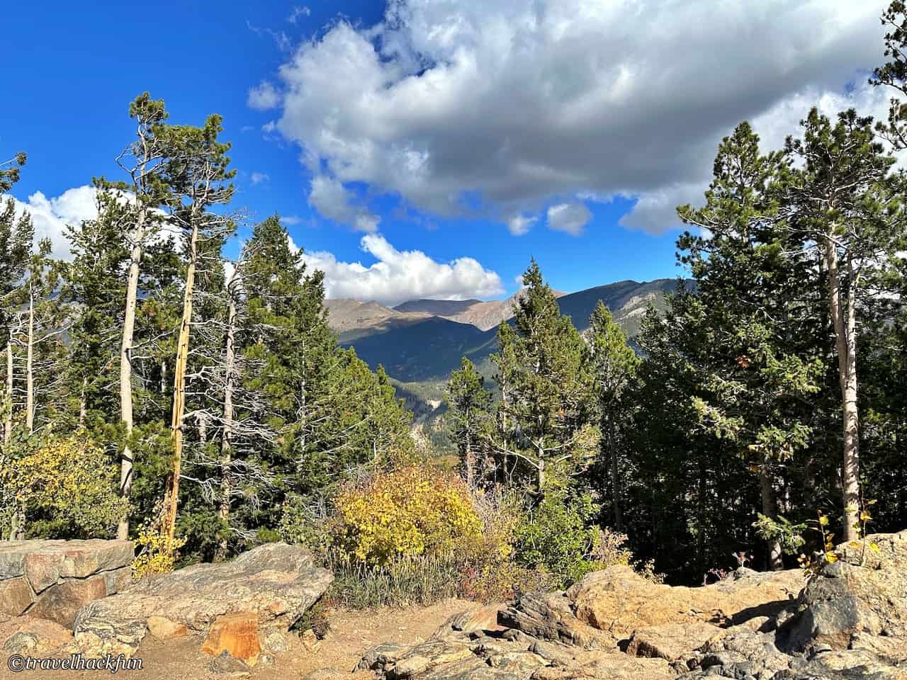
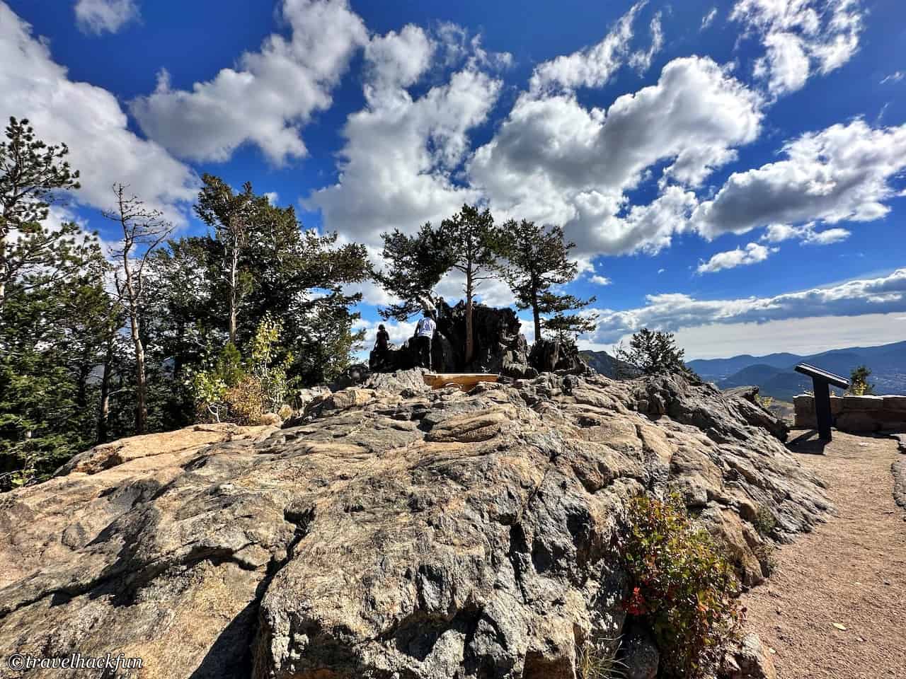
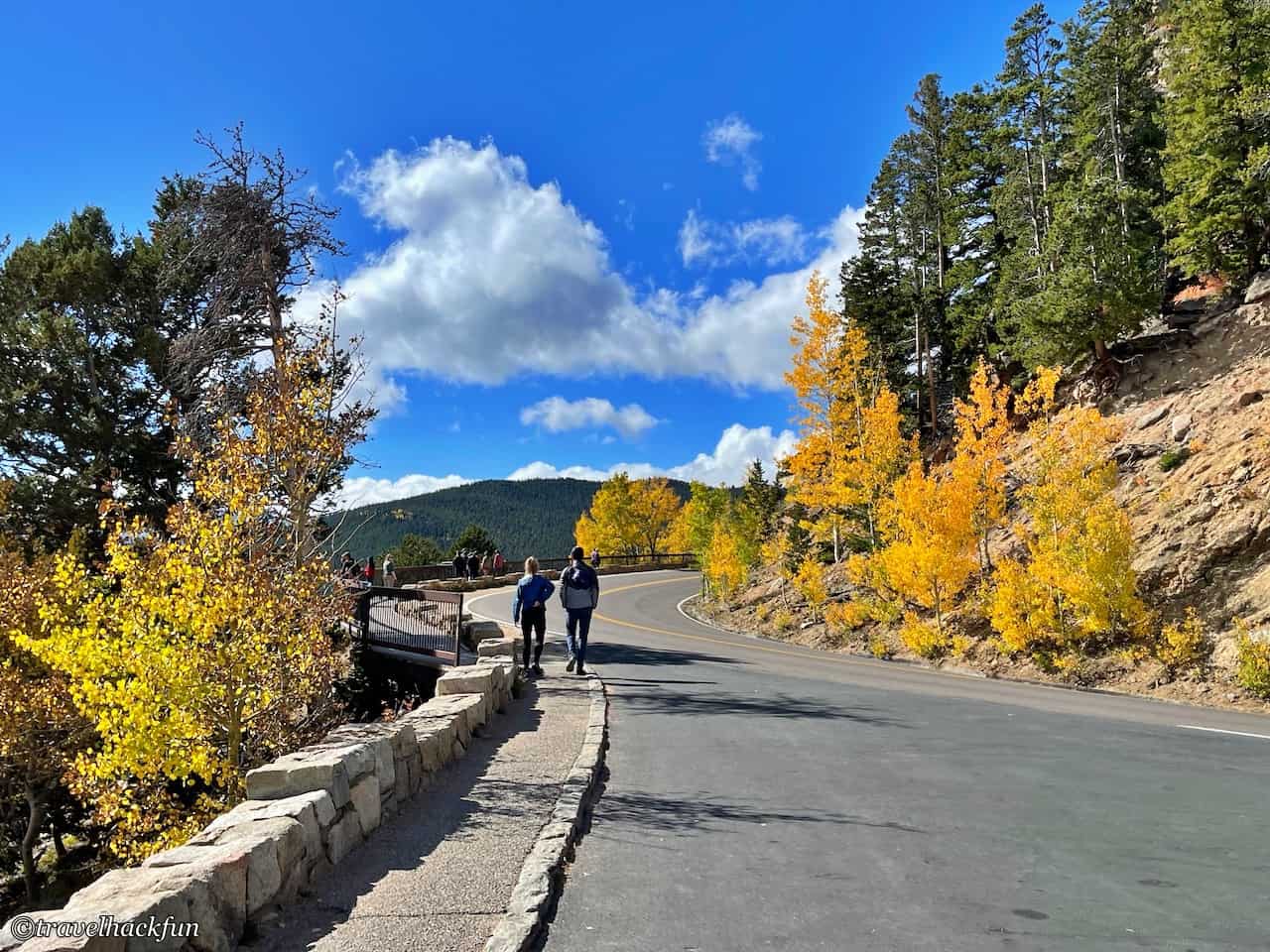
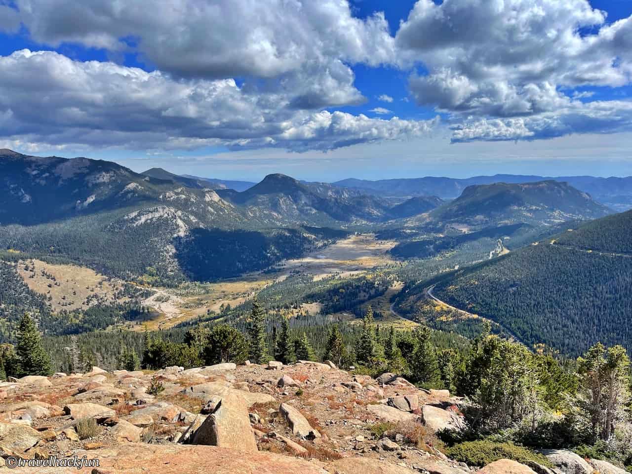
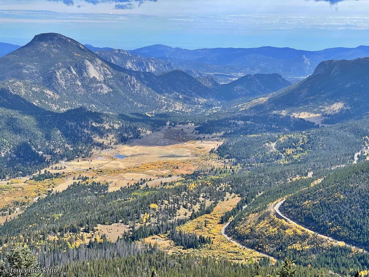
From here the terrain rises and the main event begins, the Many Parks Curve is a must stop viewpoint, you can see the many "parks" below. In Rocky Mountain National Park, we will come across a lot of terrains called parks, don't think this means parks, here park means a large grassland area in the mountains, in fact, it is a direct translation from the French word parques. It is called Many Parks because you can see a lot of these parks, and when you take a short walk along the cliffs, you can see the fall colors and the parks underneath are quite beautiful.
Viewpoints | Rainbow Curve Overlook
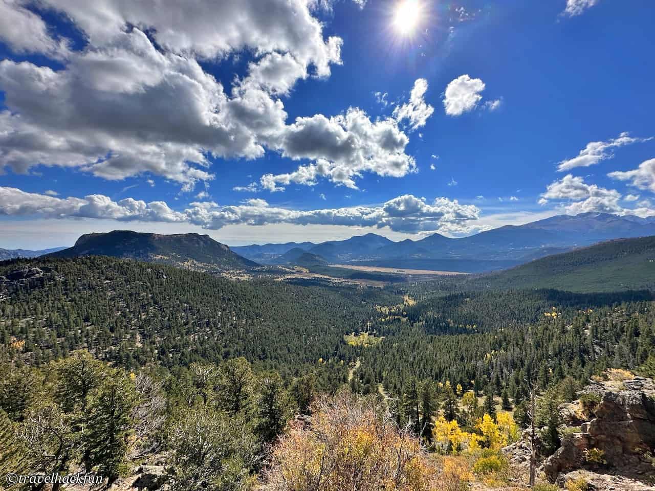
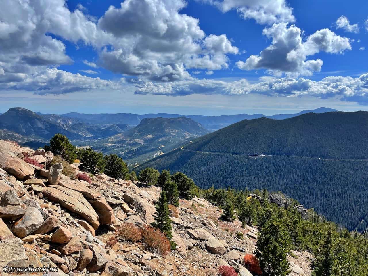
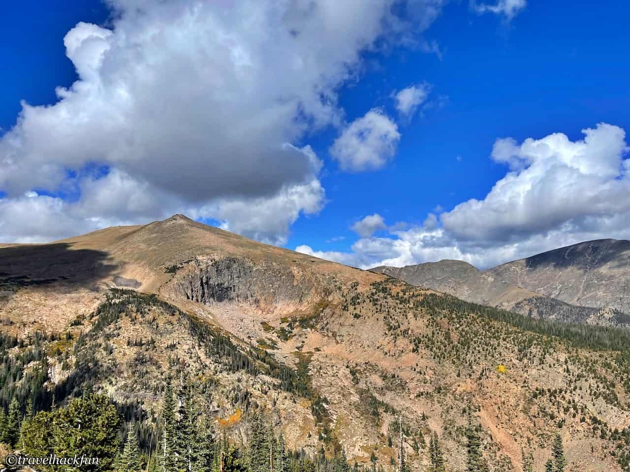
Continuing to climb up, we reached the Rainbow Curve Overlook at 10,000 feet above sea level. Here the forest landscape starts to change a little bit, and the trees become sparser. In bad weather, the park usually closes the road after this point. We were worried about the weather before we passed through here, because the road was closed for the past few days, but this time, the weather was clear.
Trails | Ute Trail
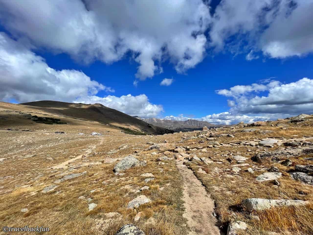
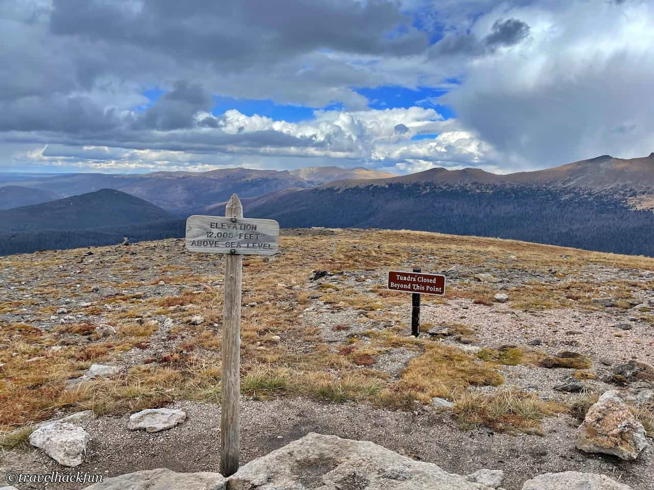
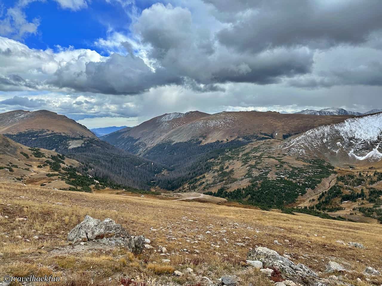
The Ute Trail is a 4-mile trail that goes all the way to Milner Pass on the west side. It is recommended to take a short walk to see the tundra landscape that starts from here. Although this trail is not difficult, and the National Park classifies it as easy, but since the elevation here is 12,000 feet above sea level, you will start to feel out of breath after a short walk. There was still snow on the ground from the last few days.
Viewpoints | Forest Canyon Overlook
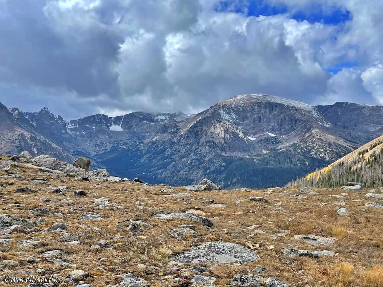
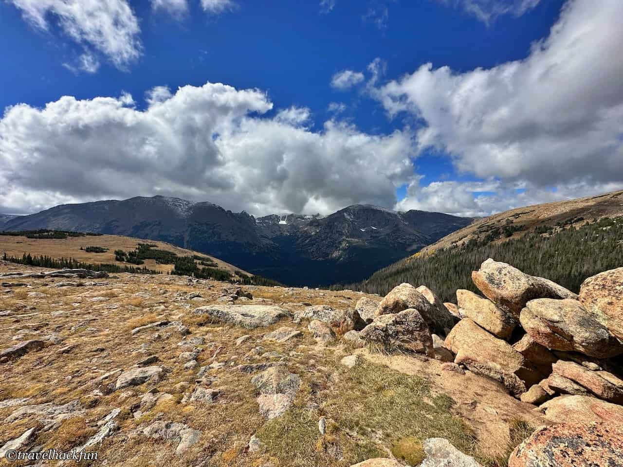
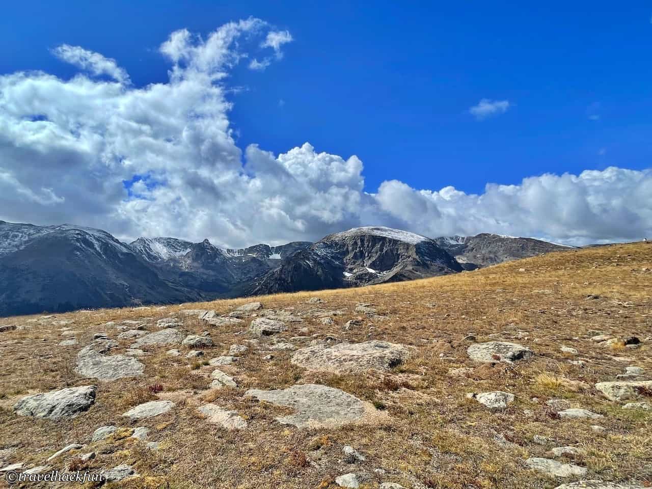
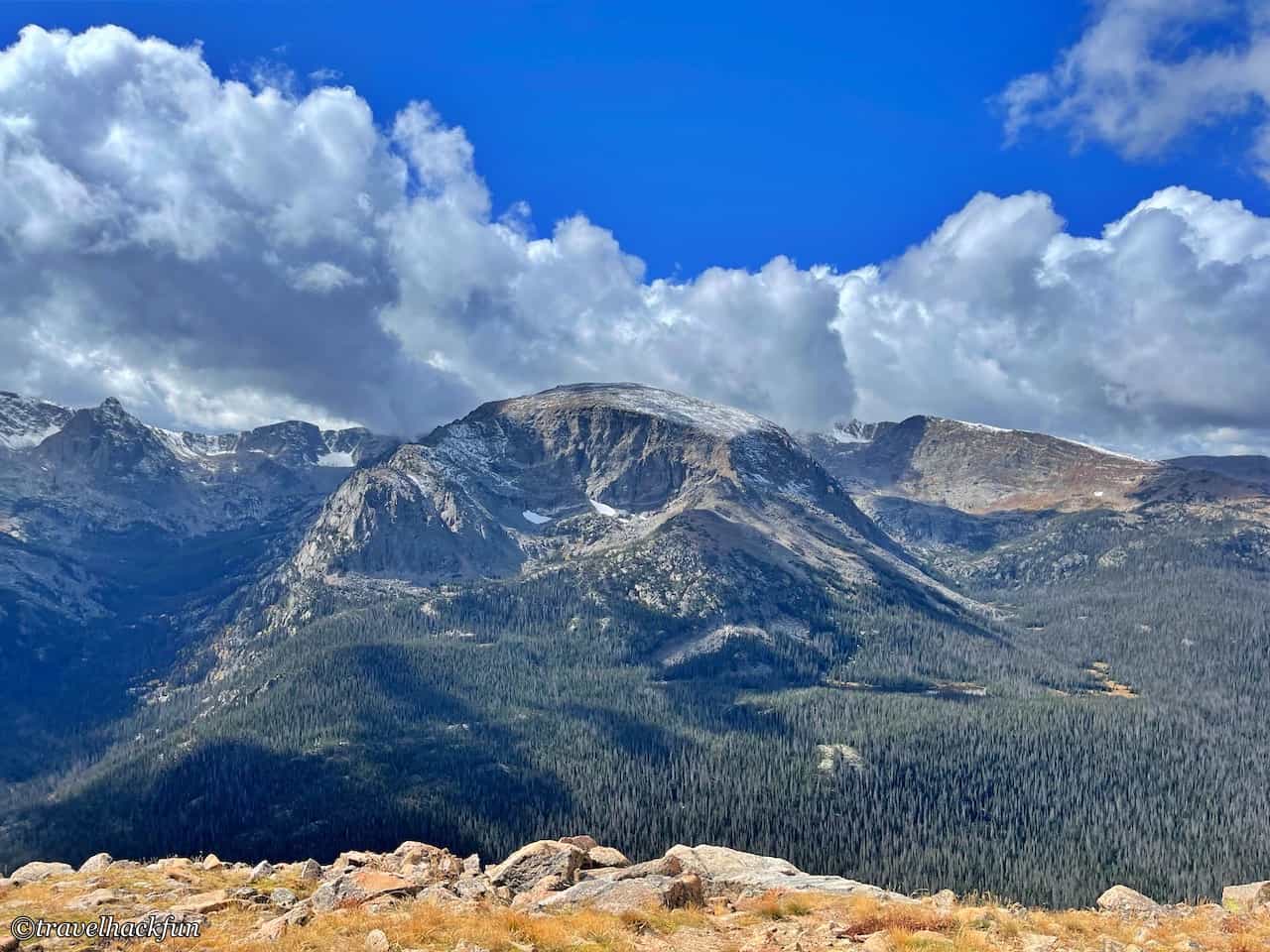
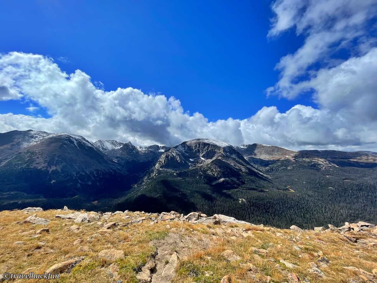
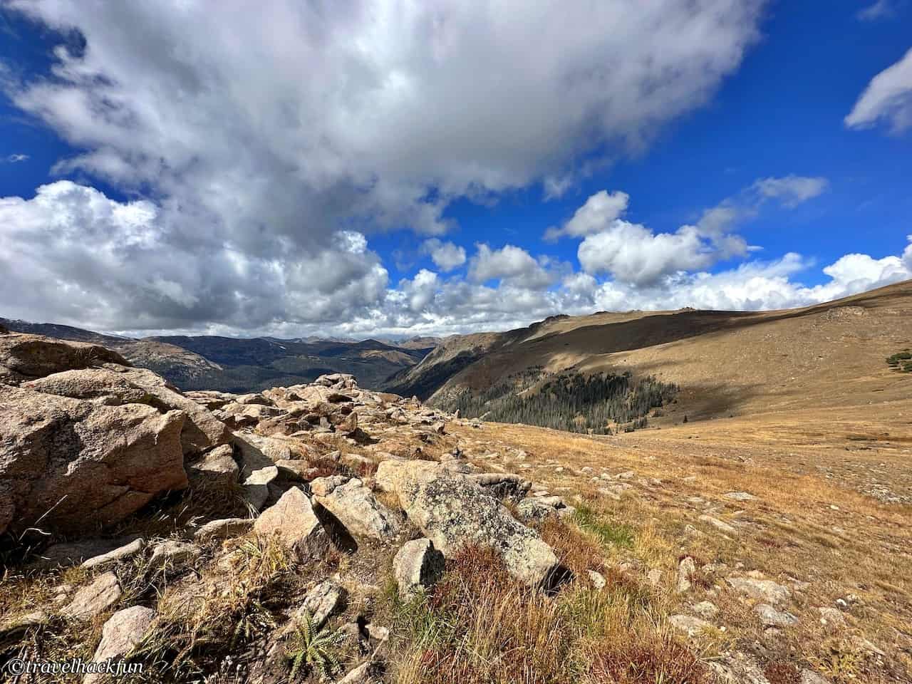
This is also a must stop for me, the view of the surrounding mountains is very beautiful. This area was once covered by glaciers millions of years ago, so you can still see the U-shaped valleys cut by the old glaciers. Looking down to the Big Thumpson River, you can see the spectacular view of the canyon and the tundra on the top of the mountain.
Trails | Tundra Communities Trail
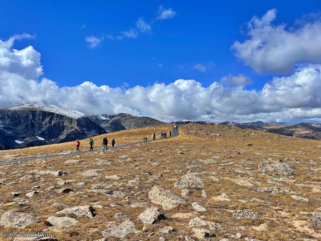
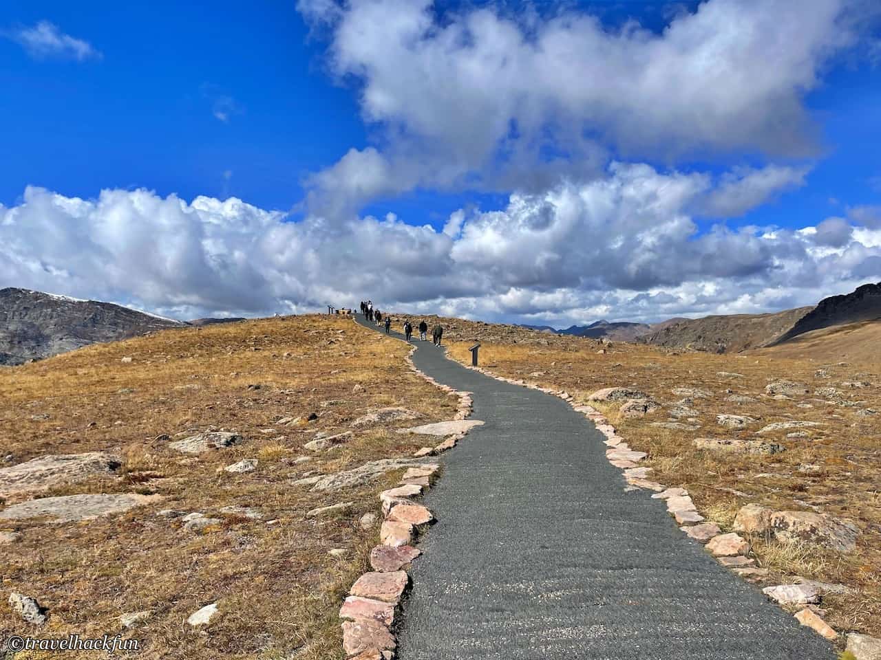
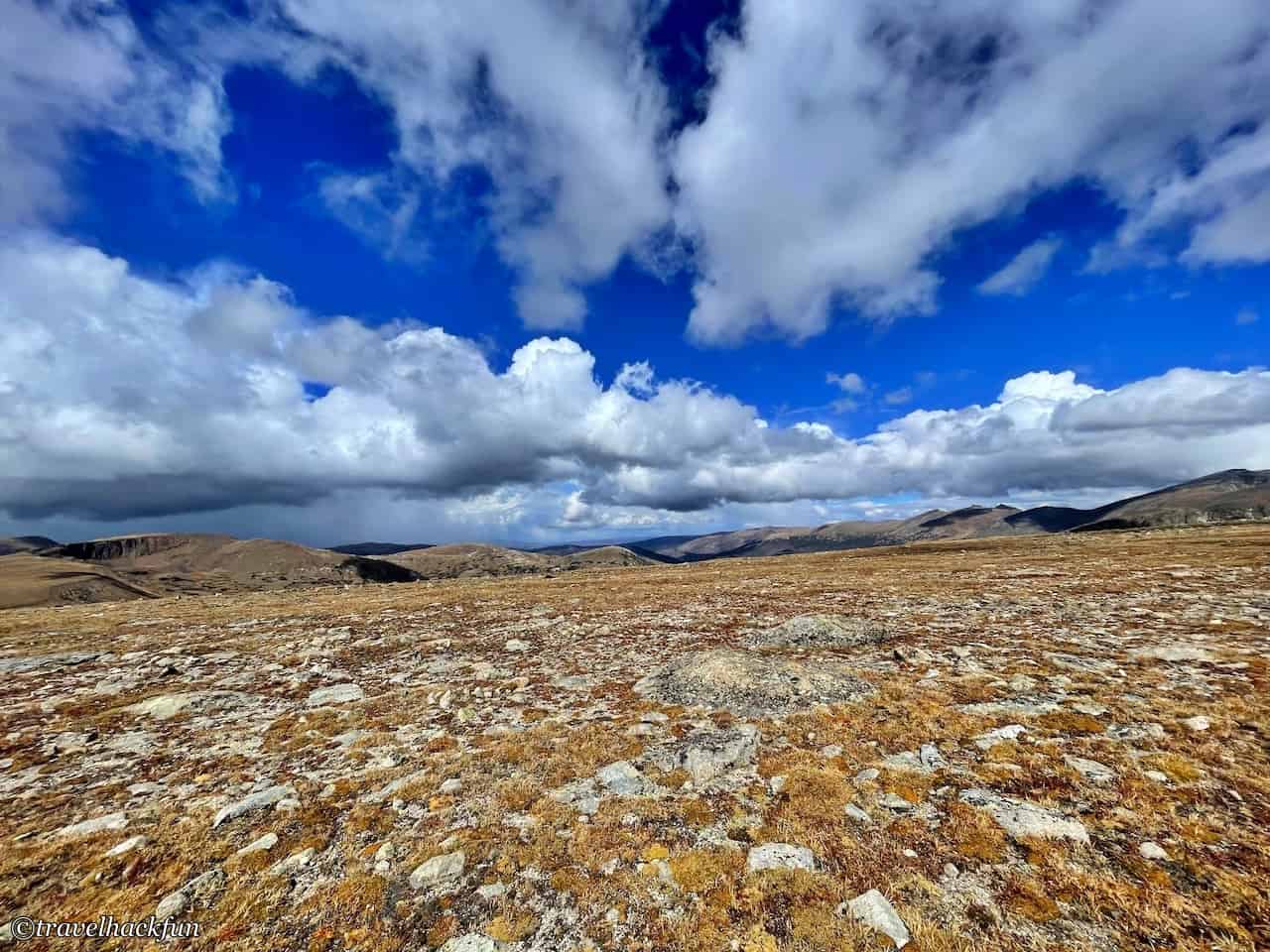
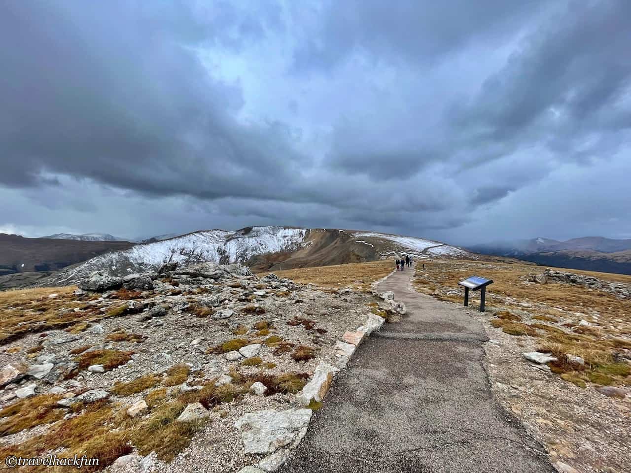
Tundra Communities Trail is a must do trail. After passing through Rock Cut, you will see a parking lot on the side of the road, and next to it is a trail on the frozen plains. The trail is 0.6 miles long, very gentle and easy to walk, it is an easy grade trail.
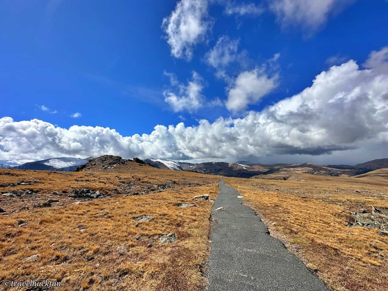
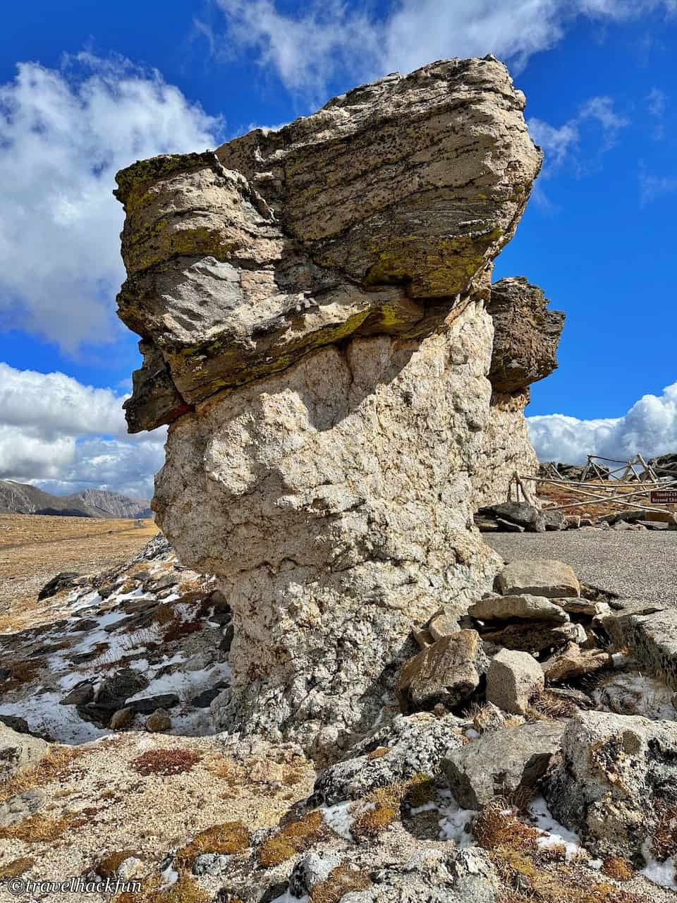
The trail passes by a cluster of Mushroom Rocks, which look like mushrooms from afar and have a peculiar shape.
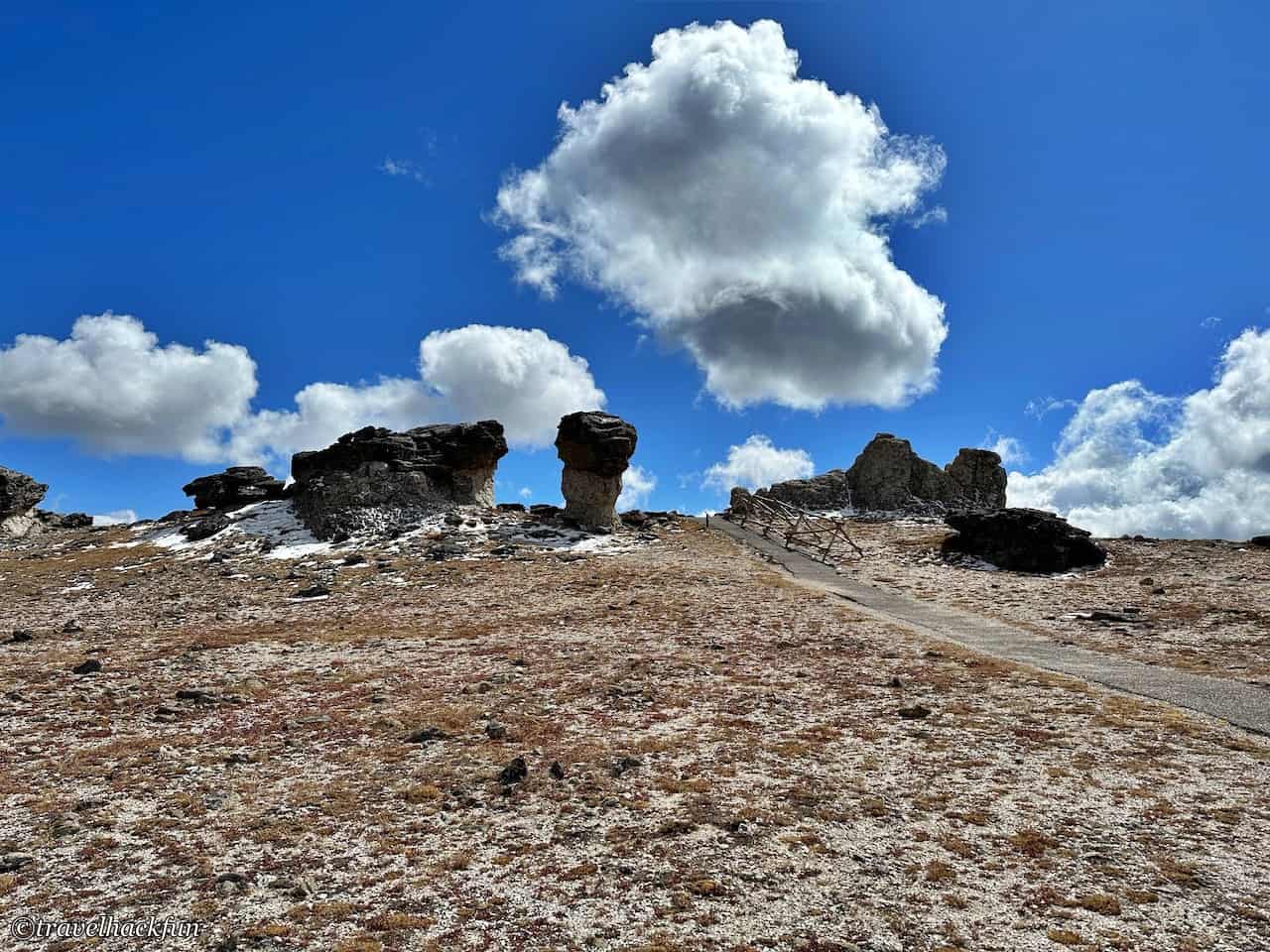
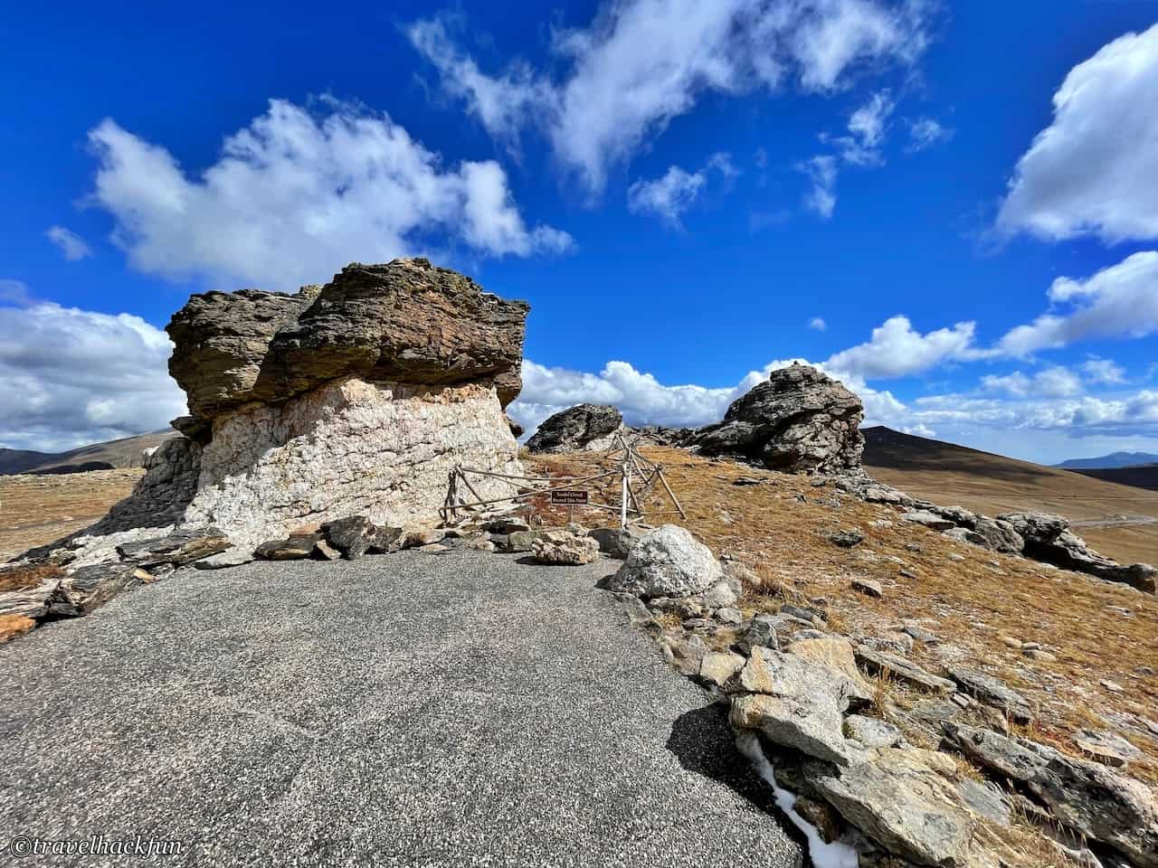
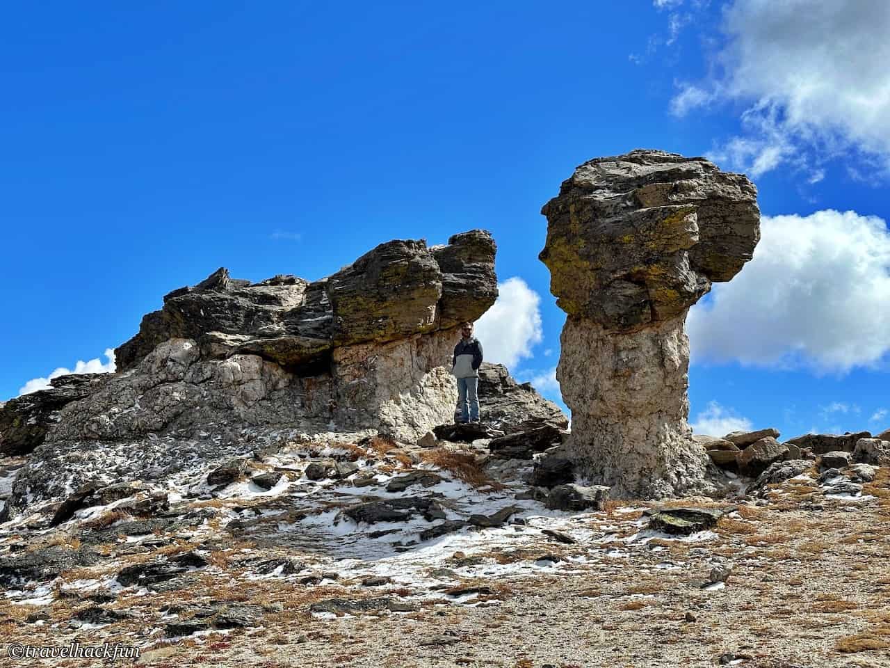
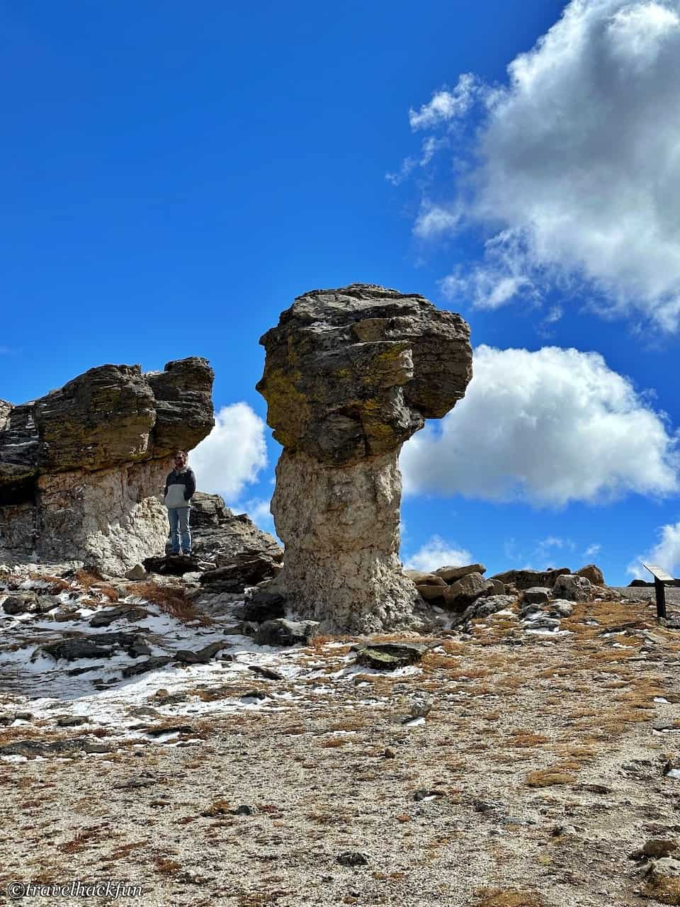
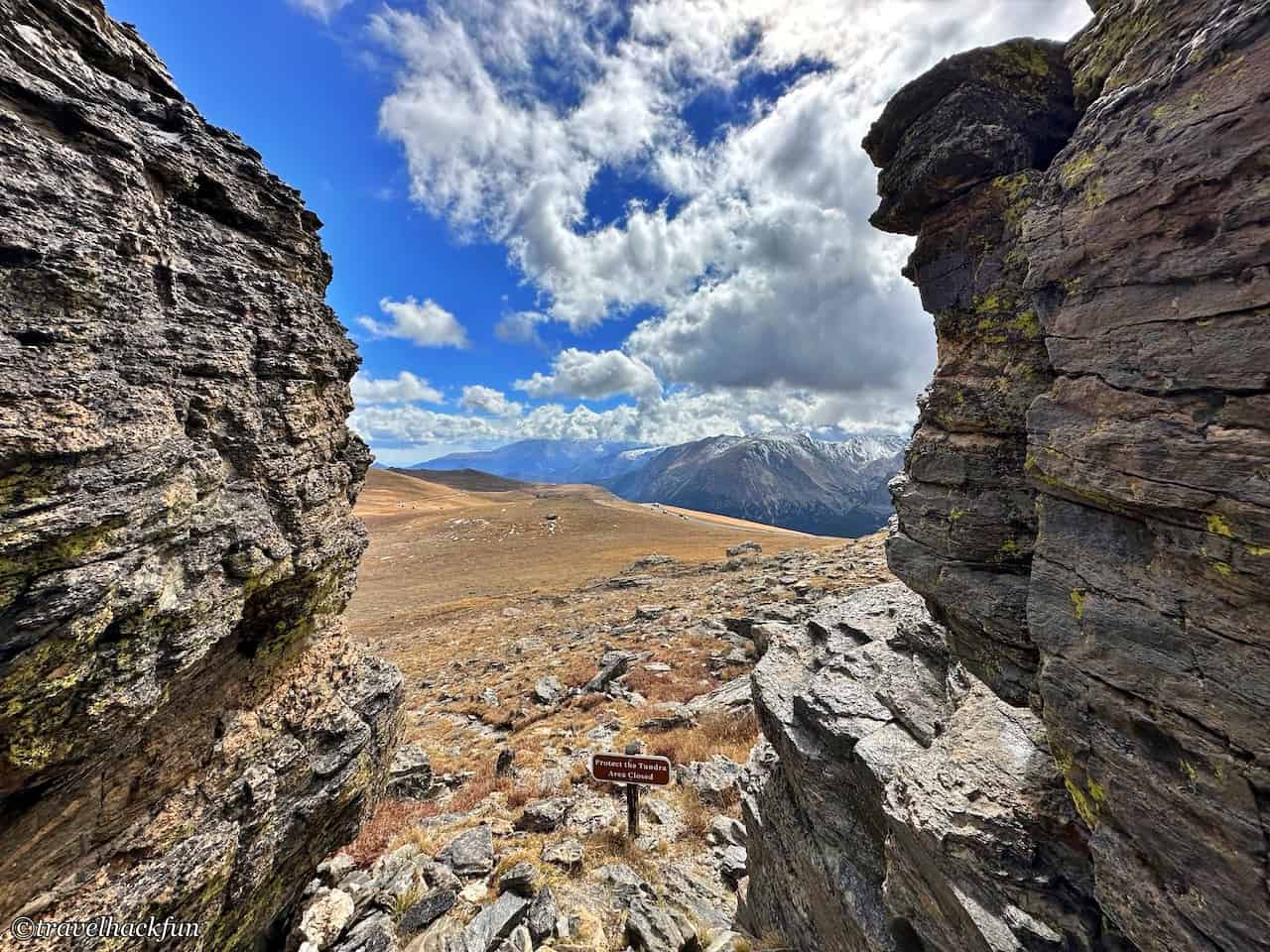
Continuing up the hill, about 0.5 mile from the parking area, I walked between two boulders, which looked like a window opening to the frozen field in front of me, and the view was quite beautiful.
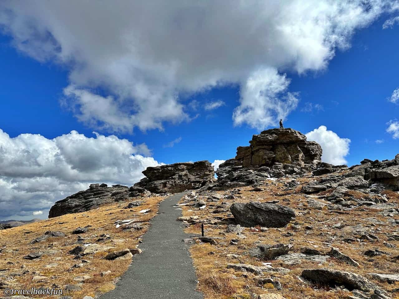
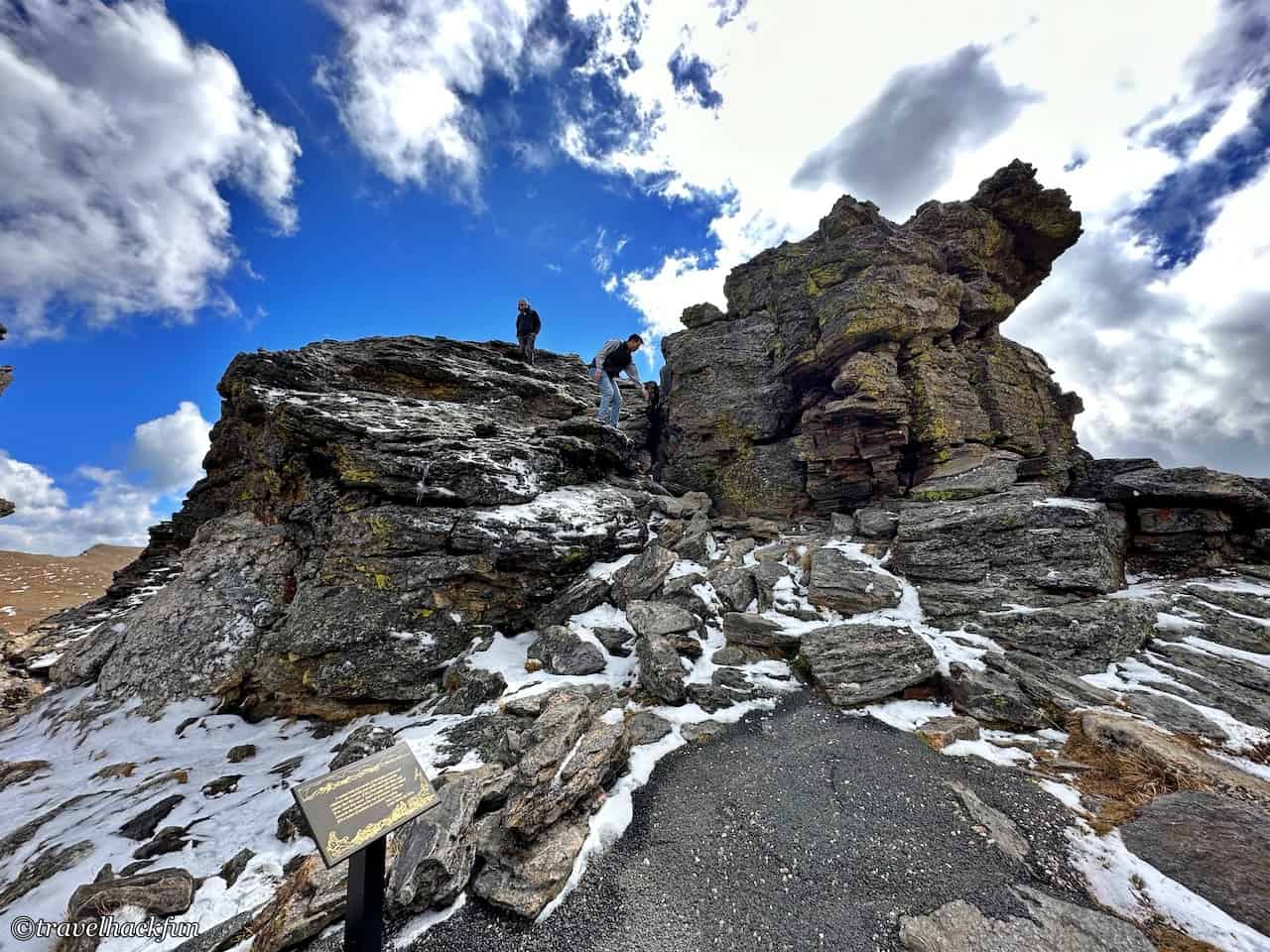
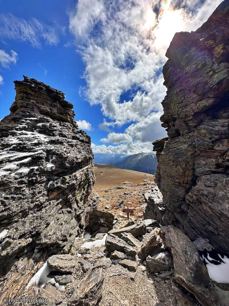
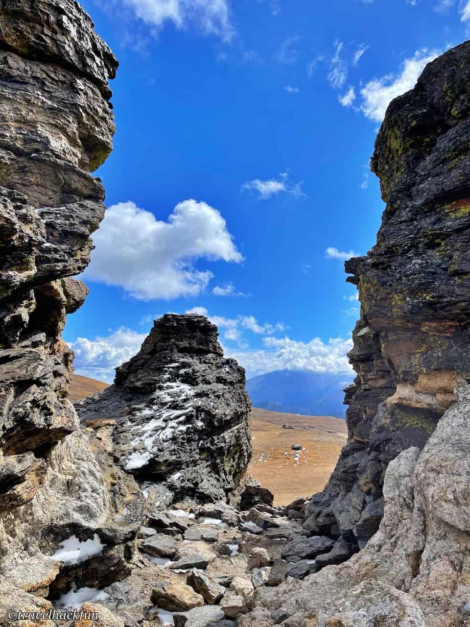
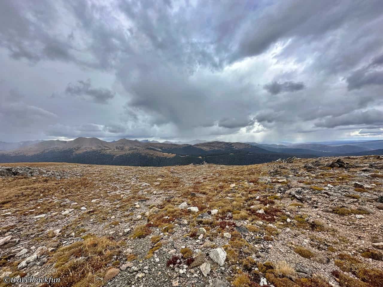
When I turned around, the weather changed drastically, and I realized in a second what is called extreme mountain weather. One minute it was sunny, and the next minute it was snowing and hailing.
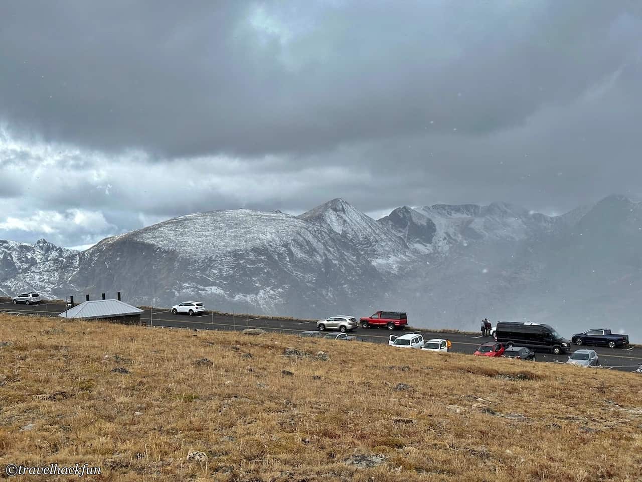
Gore Range Overlook
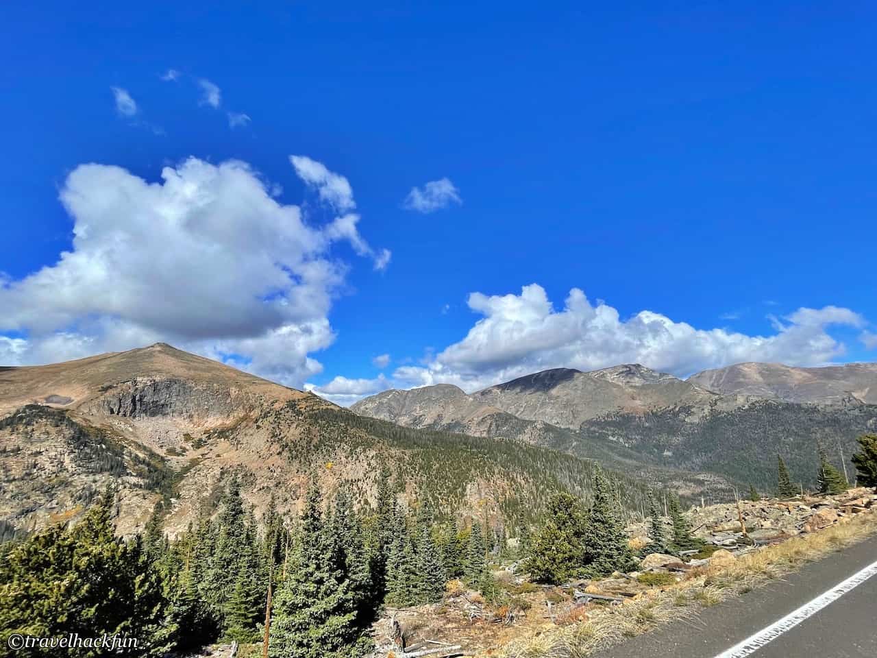
Here's a view of the Gore Range ahead, which is also quite spectacular.
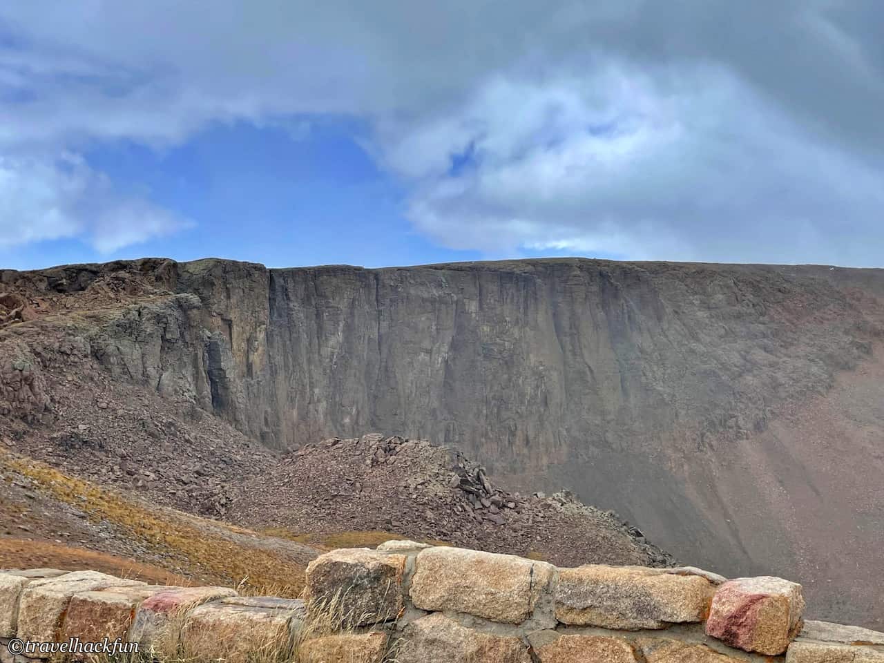
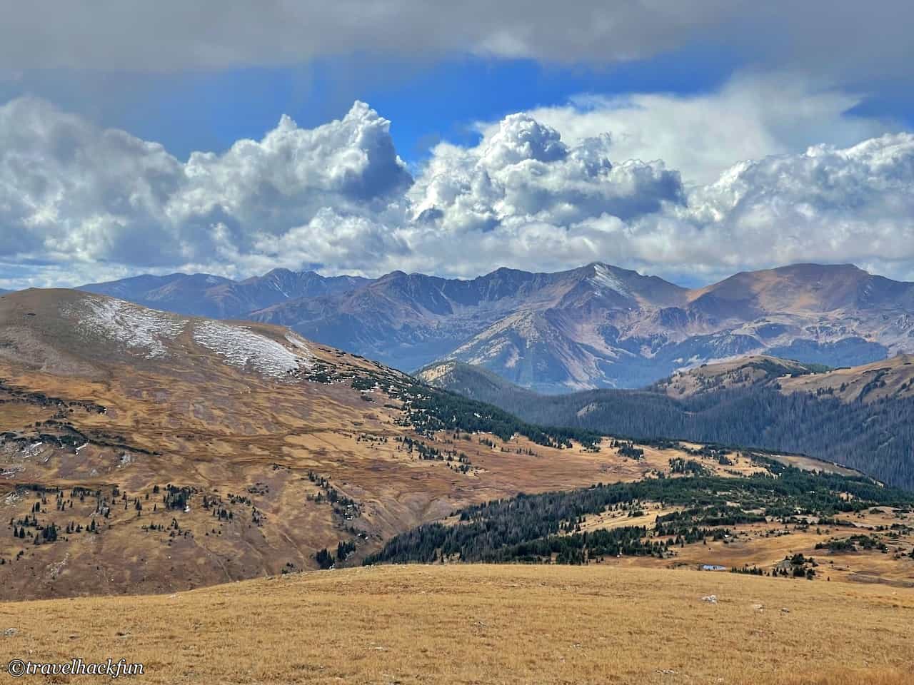
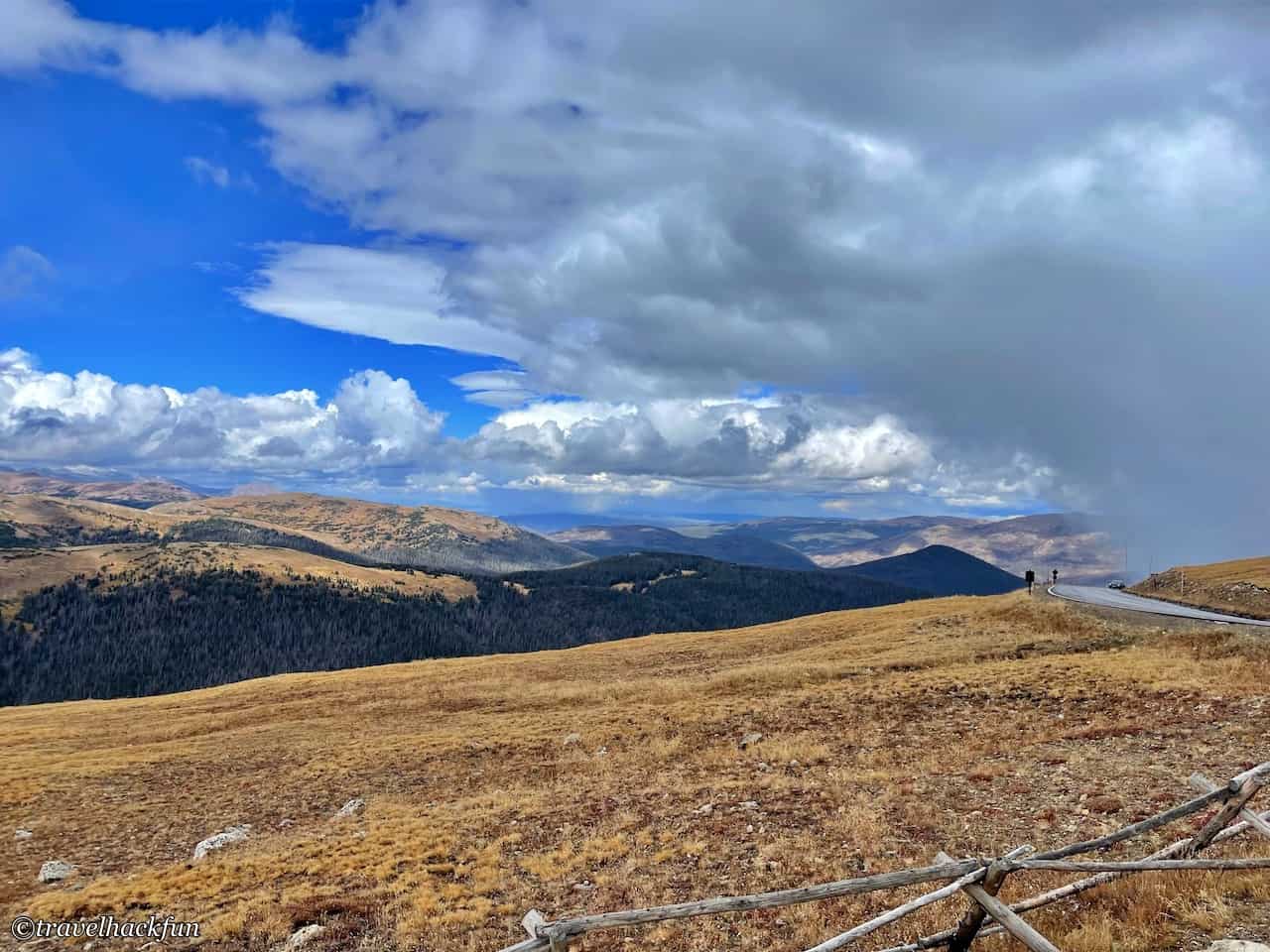
Visitor Center | Alpine Visitor Center
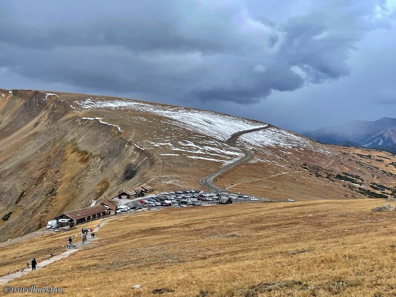
The Alpine Visitor Center is the visitor center on the summit, here you can also declare that you have finished the key part of the Trail Ridge Road, if you don't intend to go west out of the park, you can almost turn back, and then go west into the Kawuneche area. Inside the Visitor Center, it is worth going in to see the Alpine Ridge, there is a good viewpoint at the back, and after the Visitor Center, the Alpine Area is located at a higher elevation.
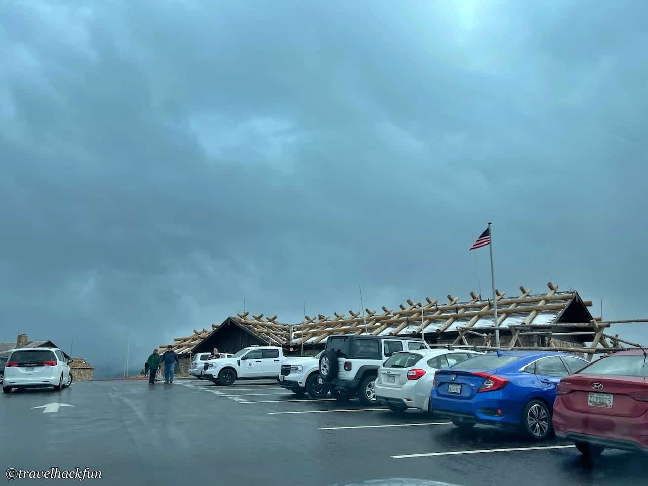
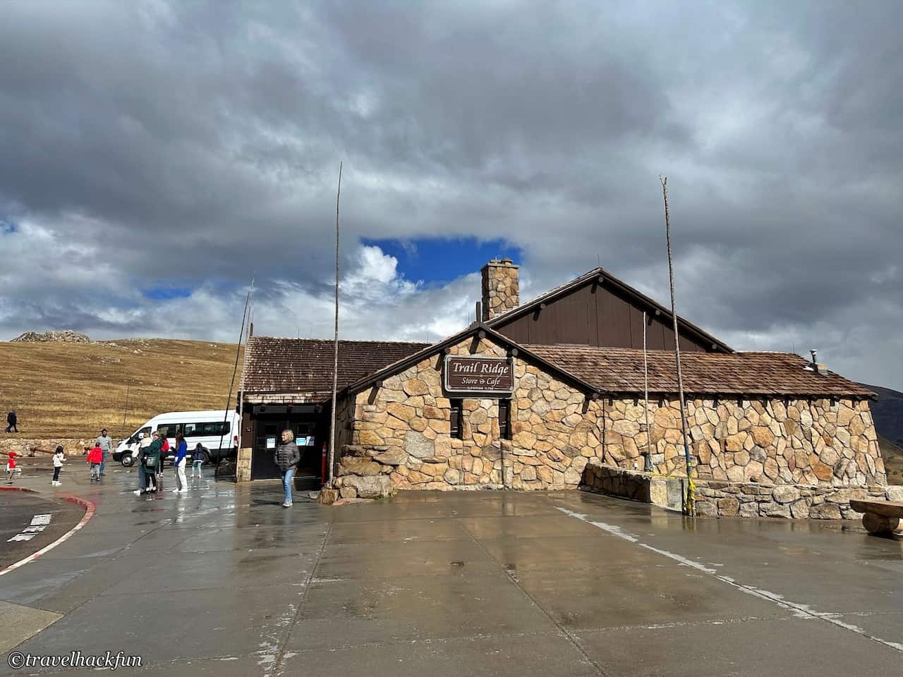
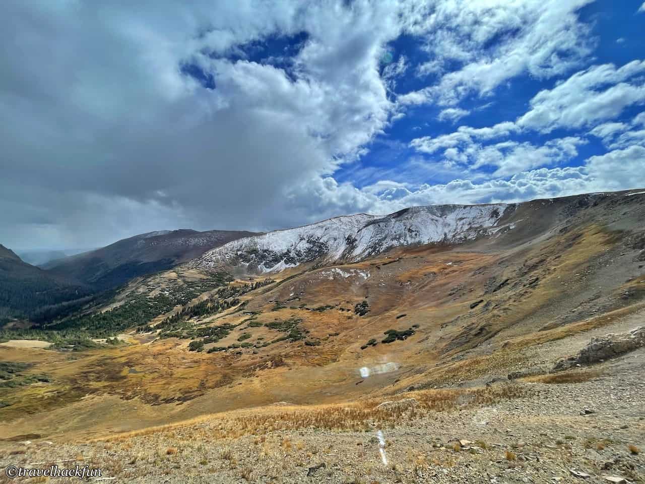
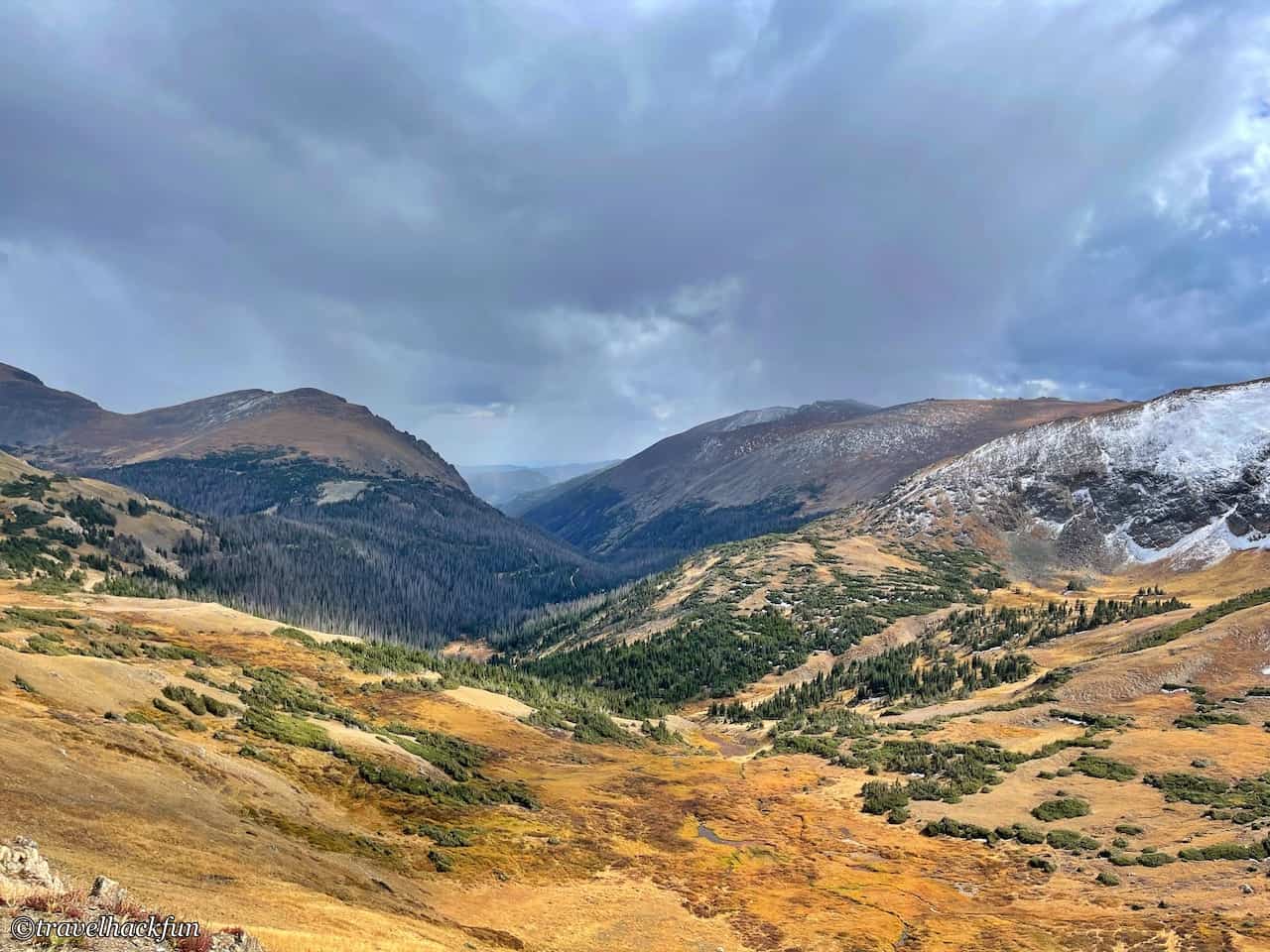
If you like to buy souvenirs, the souvenir store at the Alpine Visitor Center is huge, and the things inside look quite interesting, which is more fun than the souvenir store at the bottom of the mountain.
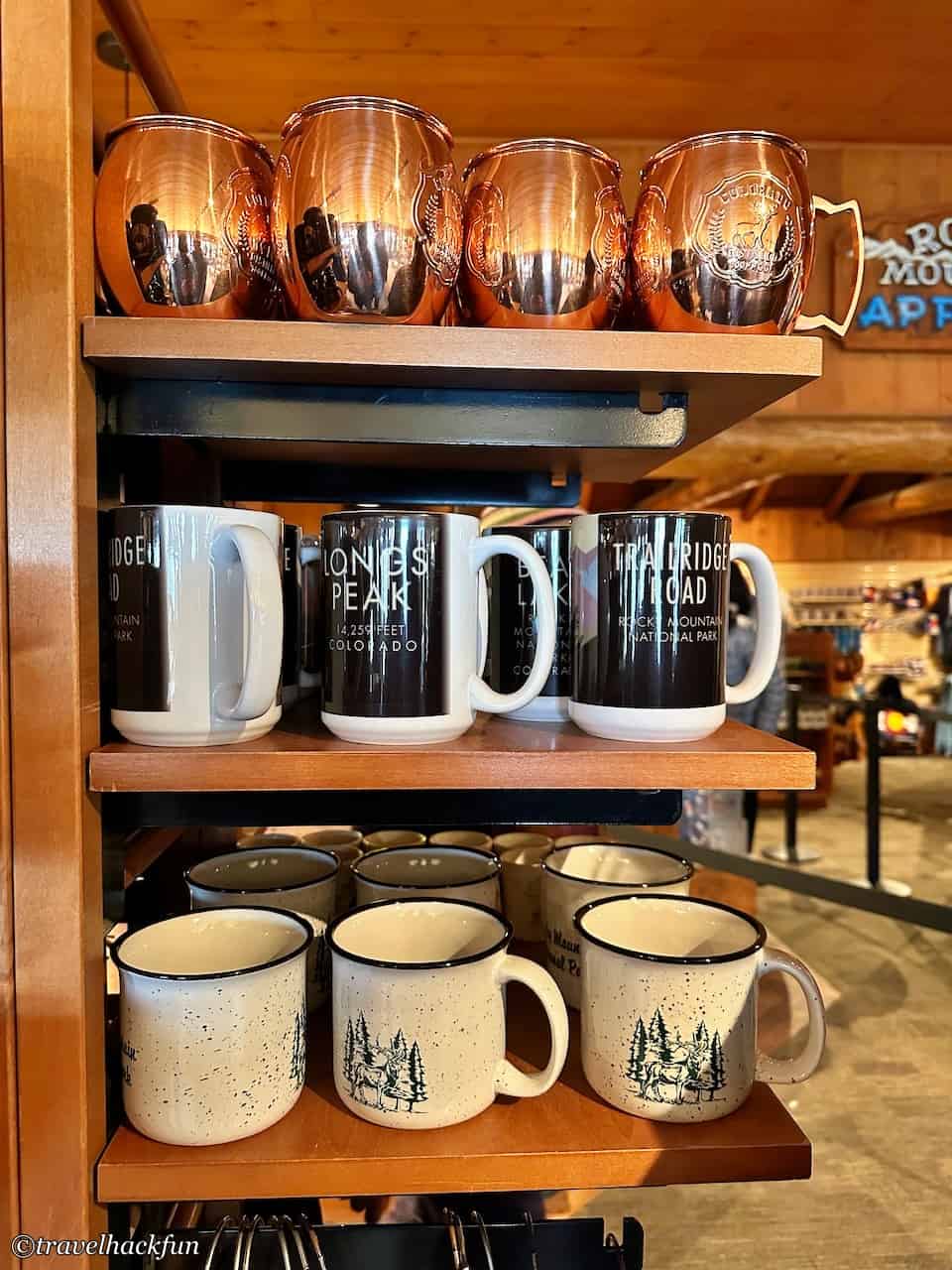

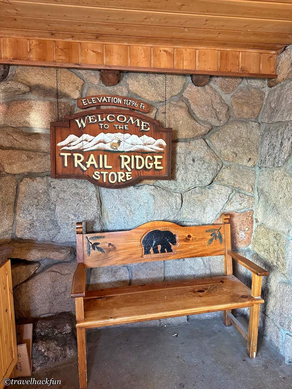
Trails | Alpine Ridge Trail
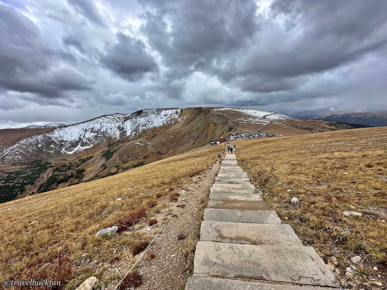
On the hill next to the visitor center, there is a 0.5 mile trail, Alpine Ridge Trail, where you can walk up to the high point to see the tundra, which is 12,000 feet above the top of the mountain. Although it's hard to walk up in the high altitude environment, it's worth it to see the great view. You should pay attention to the weather when you are on the way up, there may be sudden storms in the high mountains.
Further reading
Thank you for visiting our website.
All the content on this site is original and shared with the purpose of providing valuable information. We sustain the operation of this site through a small amount of advertising and sponsored links. If you click on links to third-party merchants on our site and make purchases, we may receive a portion of the sales as a commission. If you click on links to third-party merchants on our site and make purchases, we may receive a portion of the sales as a commission.
Find more posts on a map Here.
My recommended resources for hotel bookings.
Recommended travel credit card for US-based travelers
Travel with just a backpack!
Buy me a coffee and support my contents!
If you are interested in quoting this article or using any part of its content and images on your website or publication, please contact us via email to request permission.