Contents
395 Highway Fall Foliage Trip | Route
Mid to late October is the best time to experience fall foliage in Northern California. This time, I’d like to introduce a classic fall foliage route starting from San Francisco, passing through Yosemite National Park, and following the scenic 395 Highway to take in the stunning autumn views. Since the drive is relatively long—it takes about four hours just to get from San Francisco to Yosemite—it is recommended to plan a three-day long weekend trip. On the first day, you can drive to Yosemite and stay overnight, then spend the next day crossing the picturesque Tioga Road to view the fall colors in eastern Yosemite and drive north along Highway 395. On the third day, head back to the Bay Area.
We chose to return to San Francisco via Highway 4 and stayed the second night at Calaveras Big Tree State Park, combining two classic attractions. Although the drive was longer, it made the trip more enriching. If you don’t want to take the detour north, you can return directly from Yosemite, which would shorten the drive and give you more time in Yosemite.
There are many excellent spots to enjoy fall scenery along Highway 395. One must-see stop is Mono Lake, located not far from Yosemite’s eastern exit. If you don’t plan to travel too far south, June Lake Loop is a great circular route for autumn foliage. If time permits, continuing south to Mammoth Lakes is also a good option. We chose to visit the South Tufa area in the afternoon to admire the spectacular tufa towers, adding a unique flavor to our trip.
Yosemite | Fall Scenery
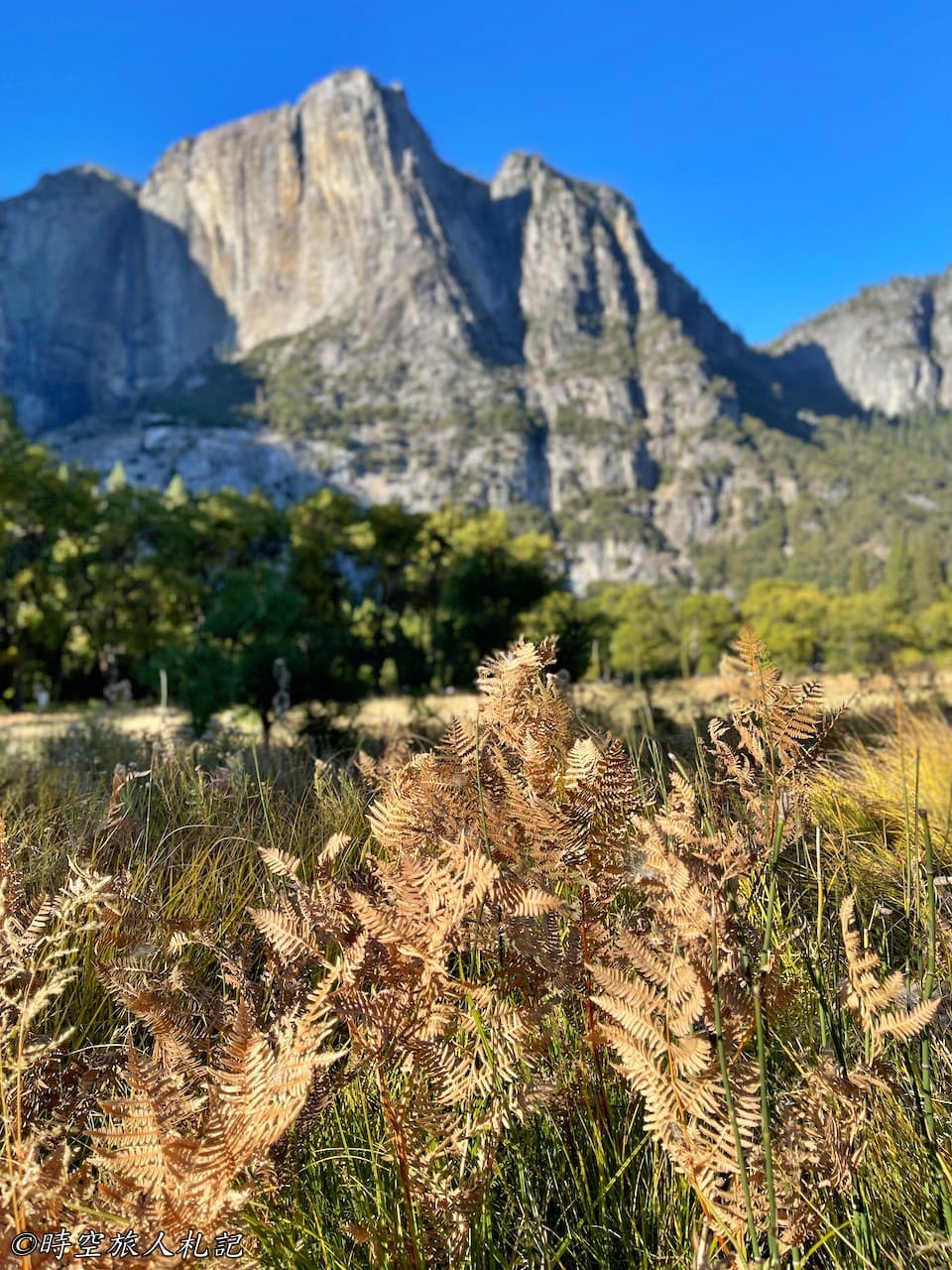
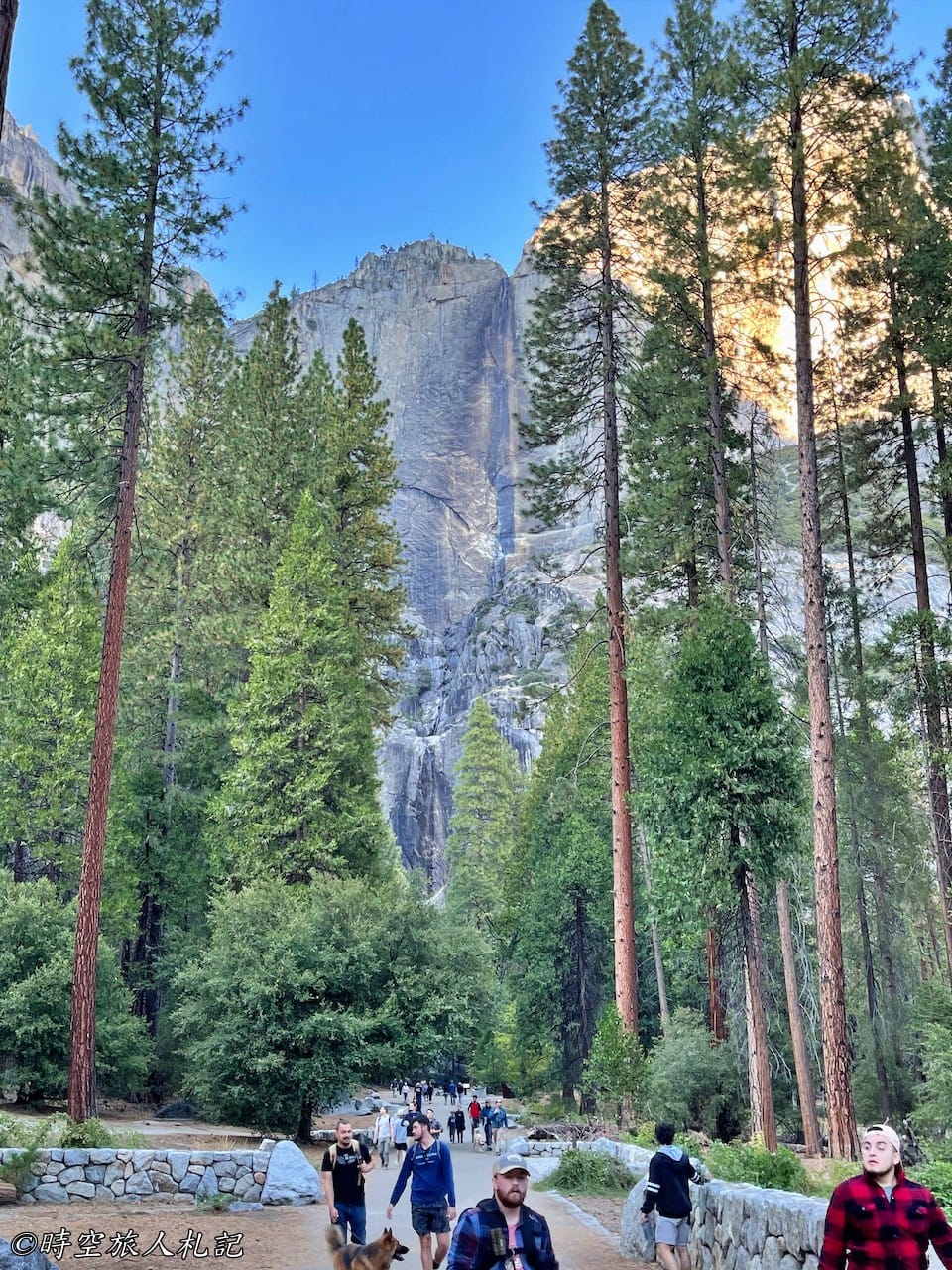
Our stay in Yosemite National Park was relatively short this time. We spent the afternoon mainly in Yosemite Valley and crossed the majestic Tioga Road the next day. While autumn had quietly arrived by October, most of the leaves had not yet fully turned yellow. However, the advantage of this time of year is the mild, comfortable weather. The mountains had yet to accumulate snow, and Tioga Road and Glacier Point were still open, offering more opportunities to explore the park. Most of the park’s shops were already closed, with only those in Yosemite Valley remaining open, creating a peaceful atmosphere.
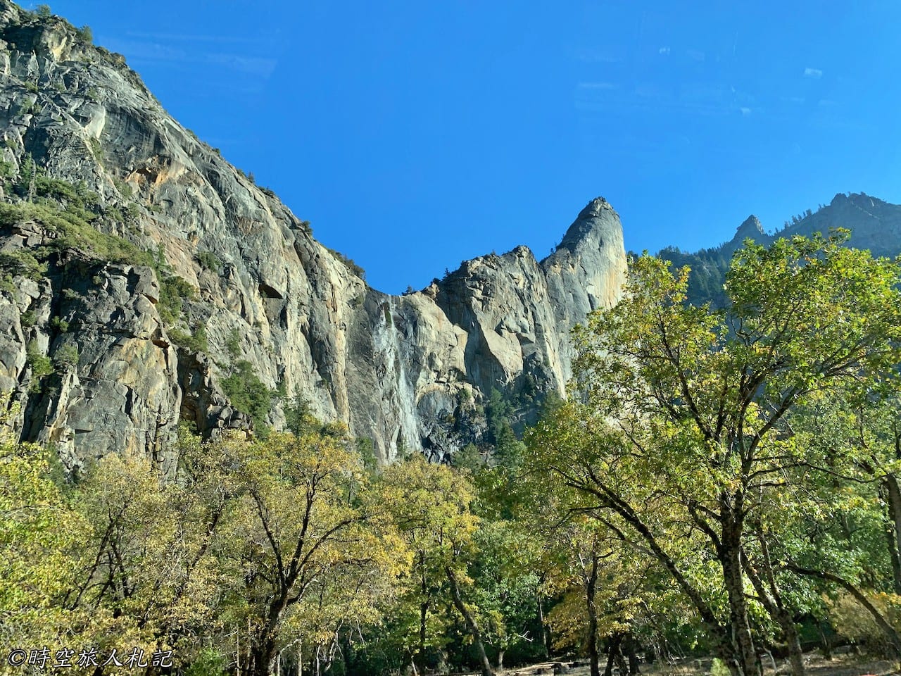
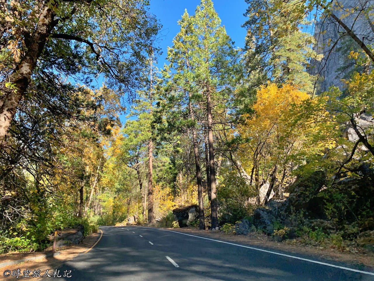
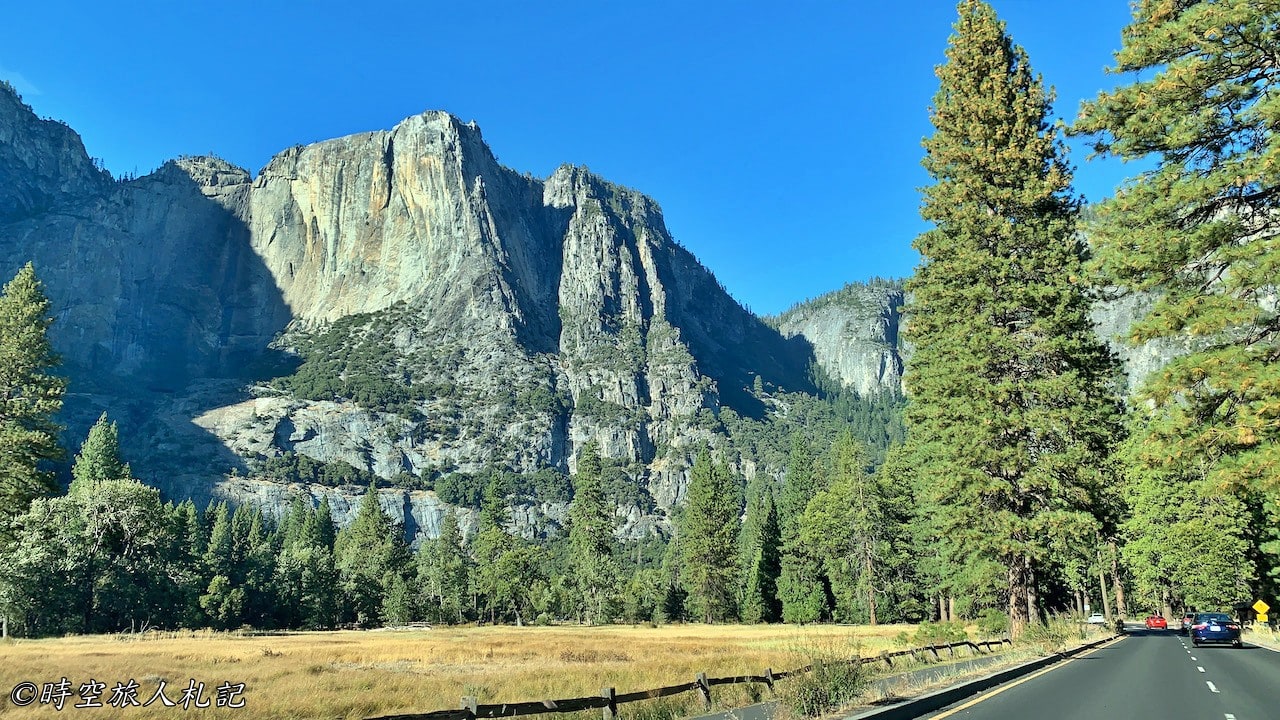
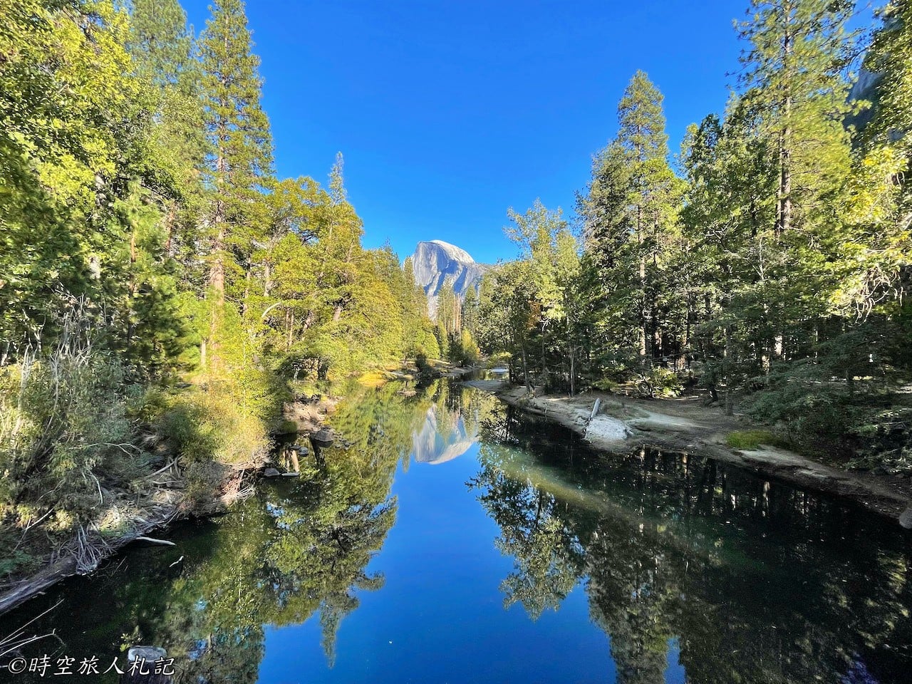
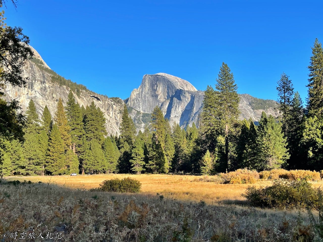
We spent our afternoon fully immersed in the beauty of Yosemite Valley. The autumn spirit was strongest at Cook’s Meadow, where the grass had turned golden, a stark contrast to the summer months. What impressed me most was Sentinel Bridge, where the slightly yellowing trees framed the magnificent Half Dome, creating an especially stunning scene. The waterfalls at this time were reduced to a mere trickle, not as impressive as in summer, but the reduced crowds made it easier to find solitude with nature.
That night, we stayed at Yosemite Valley Lodge, which was more modest than the luxurious Ahwahnee Hotel where we had stayed before, but we were equally satisfied. We were especially lucky to get a room with a mountain-view balcony, offering stunning scenery and proximity to the restaurant, which added a lot of enjoyment to our trip.
Book a room at Yosemite Valley Lodge
The next morning, we set out again from the Valley, stopping at the iconic viewpoint Valley View before turning onto Tioga Road to continue enjoying the breathtaking scenery along the way. We passed Olmsted Point and Tenaya Lake, where the landscape transformed with the changing elevation.
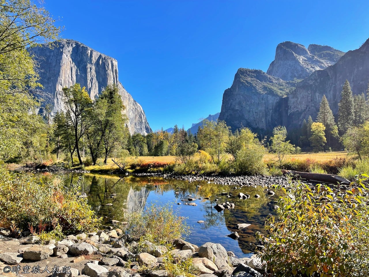
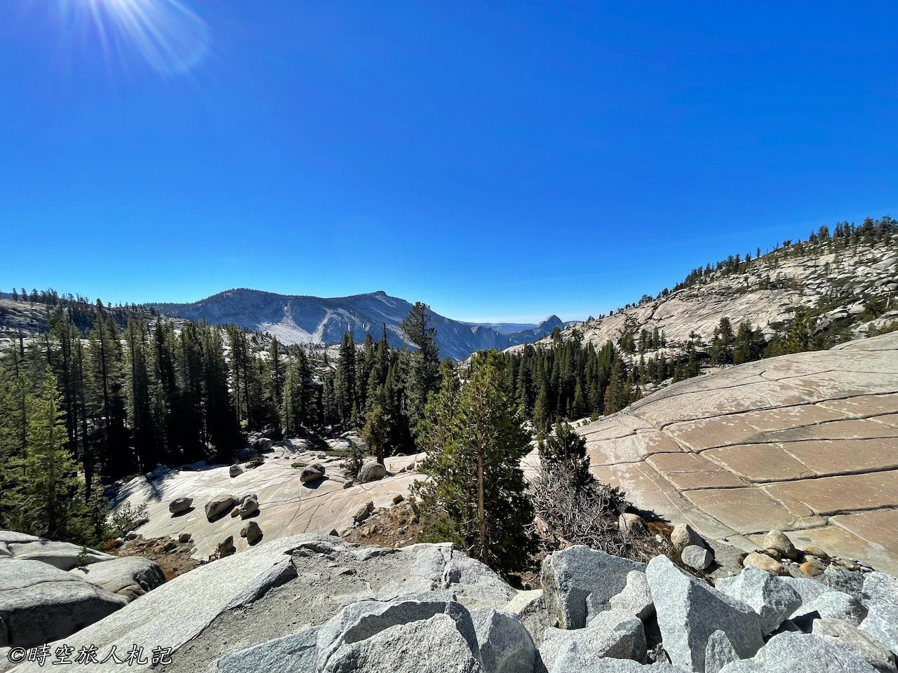
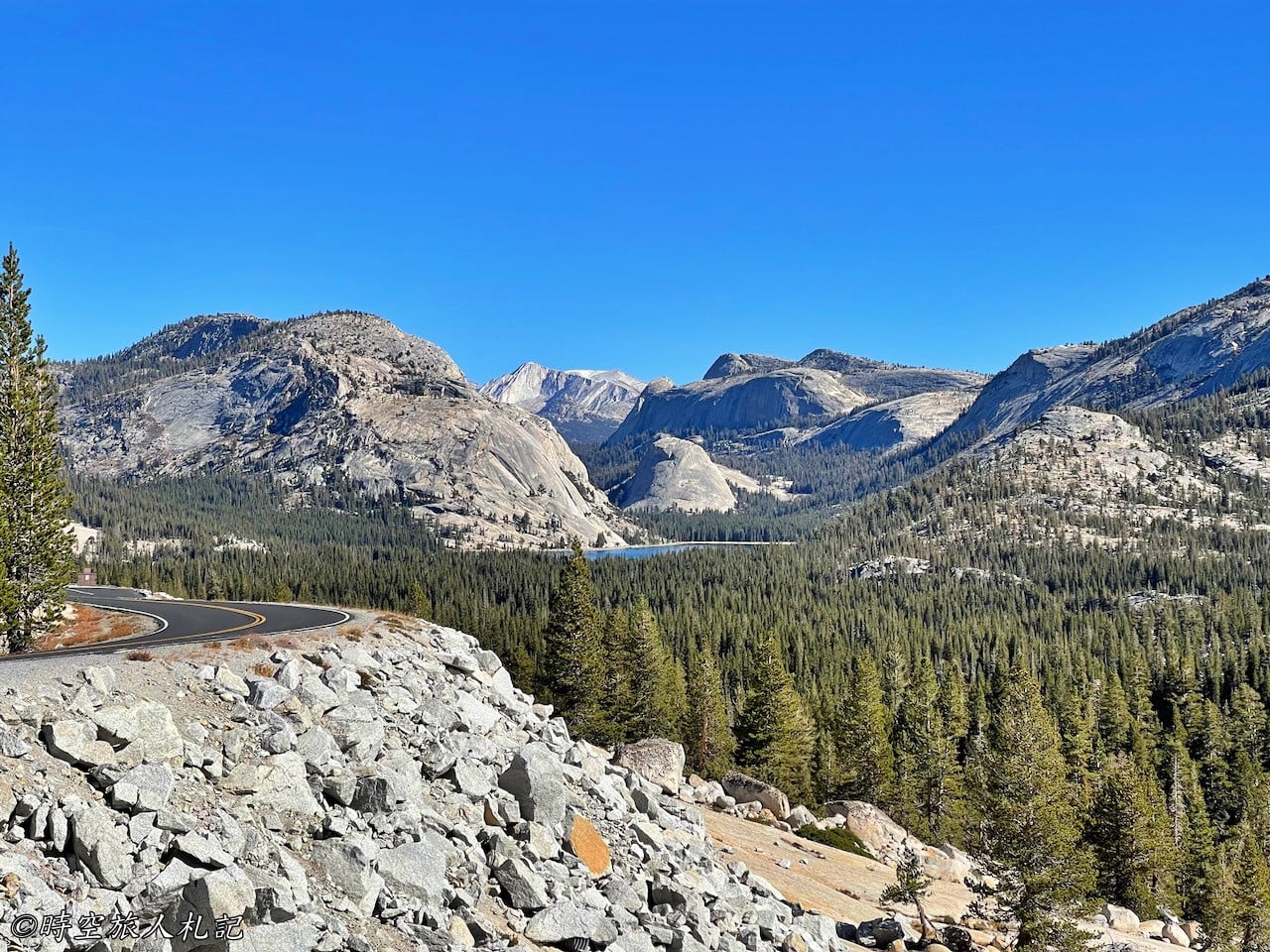
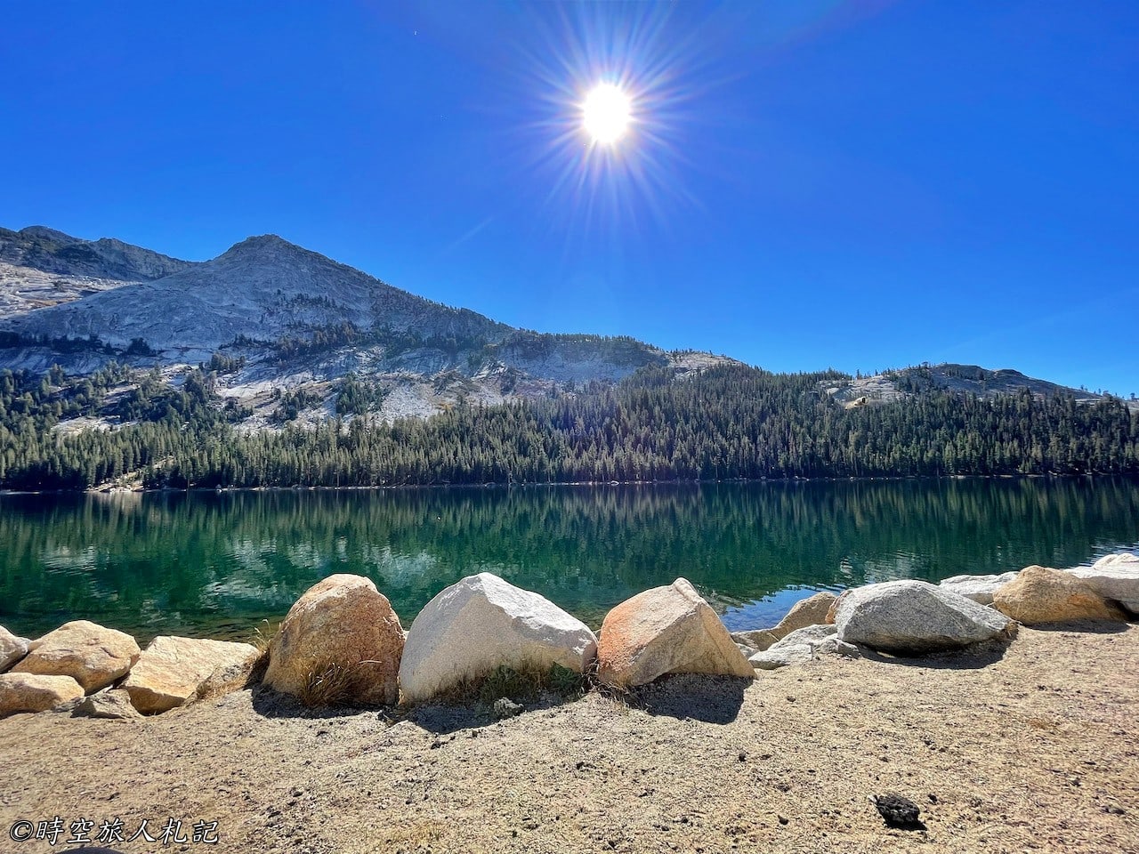
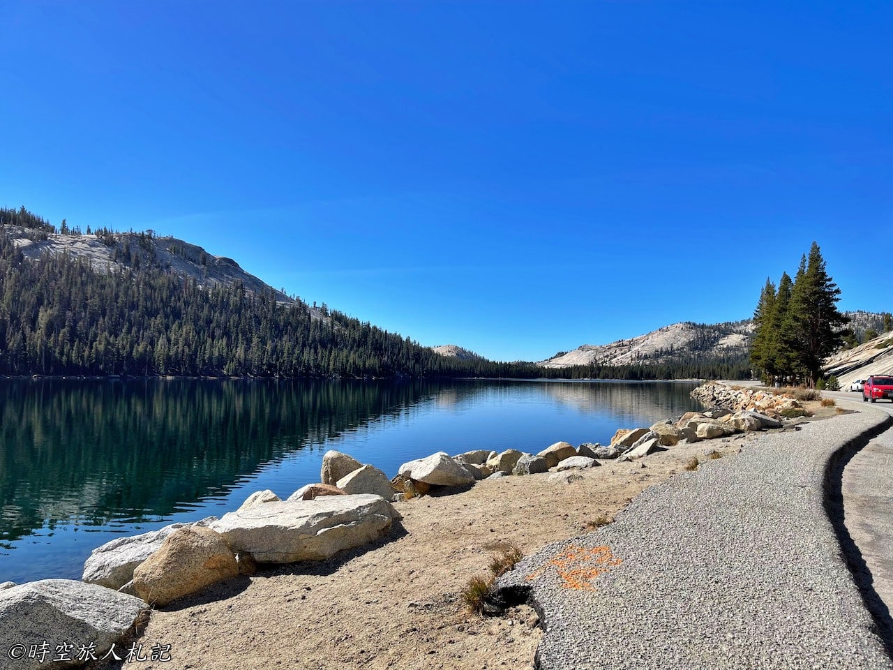
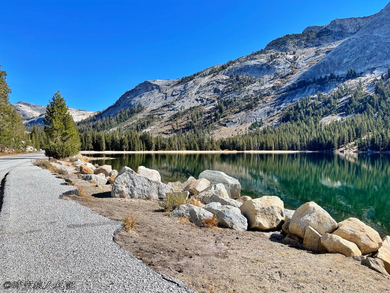
As we approached the eastern exit, snow had already begun to accumulate on the mountains around Ellery Lake, adding a touch of winter to our autumn journey.
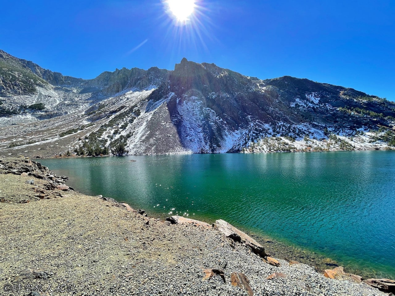
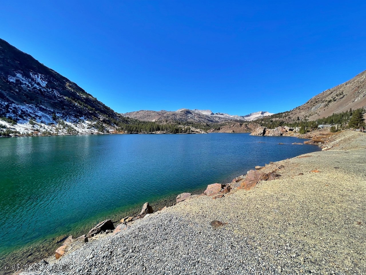
- Hotel search: Agoda
- Activities & tickets: KKday / Klook / TripAdvisor
- Travel credit cards (US only): My card picks + beginner tips
Highway 395 | June Lake loop
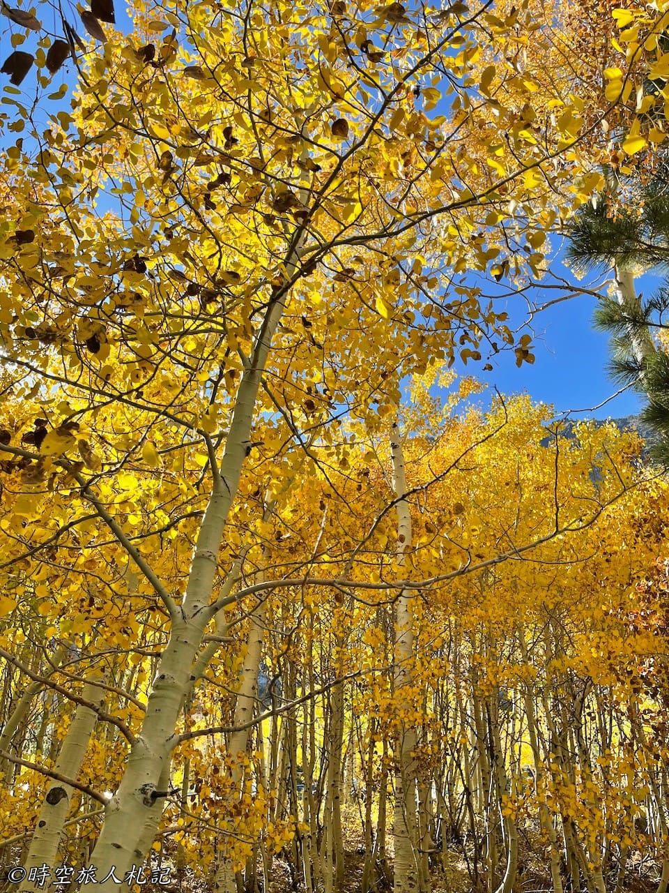
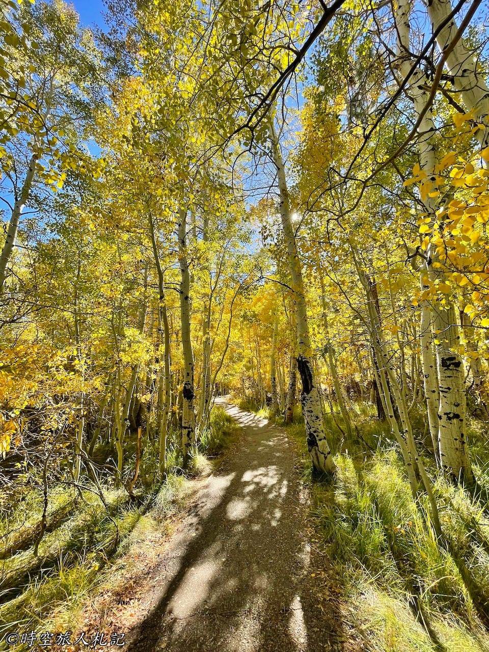
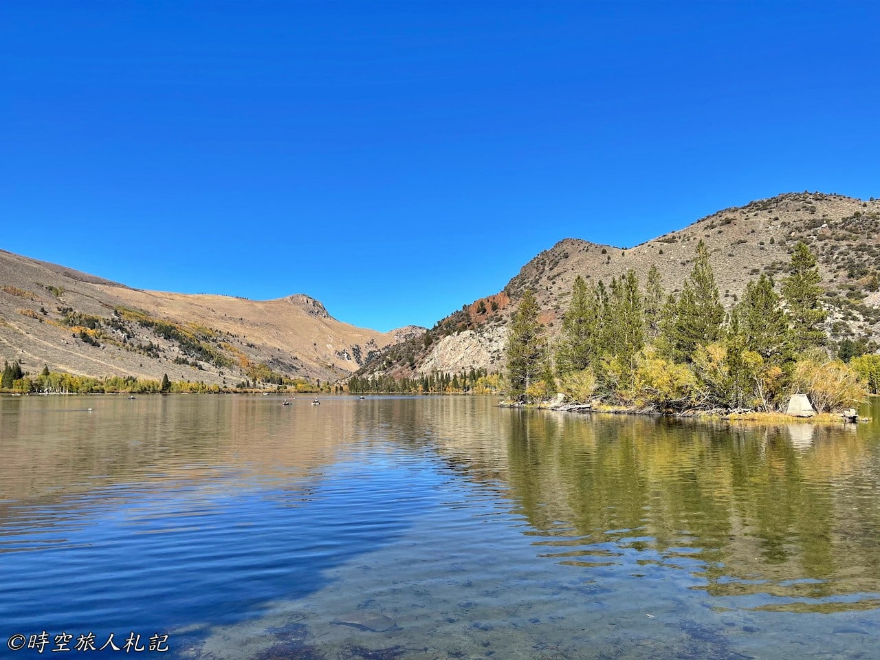
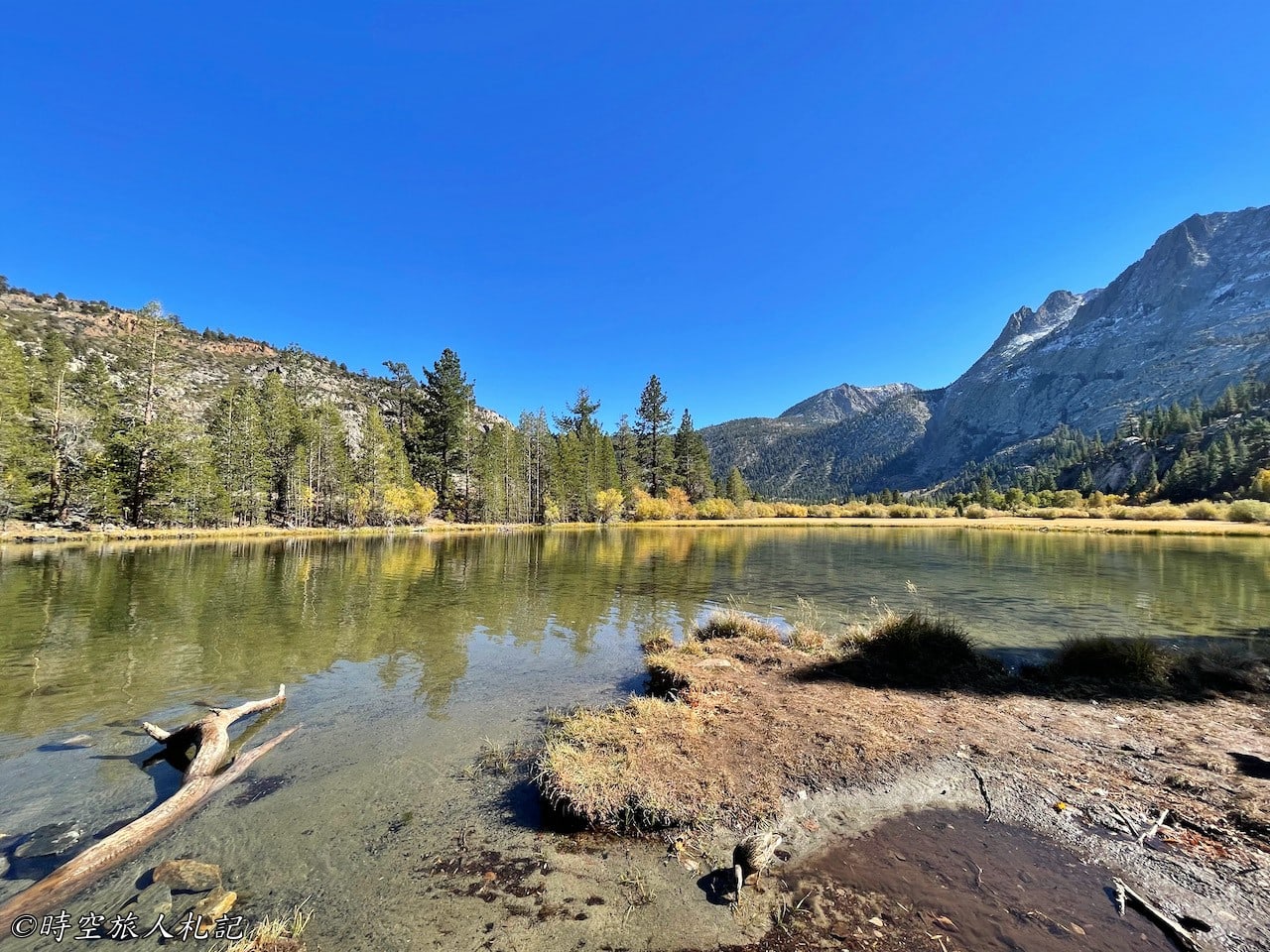
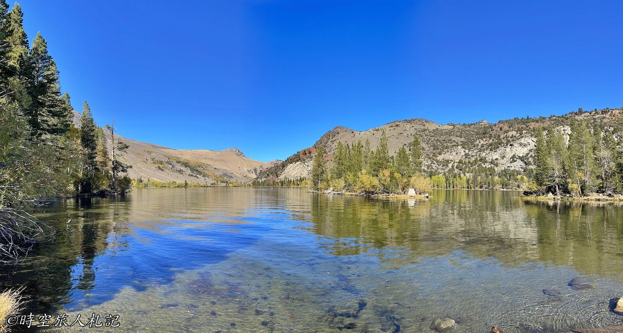
After leaving Yosemite’s eastern exit, heading south along Highway 395 for a short distance brings you to the stunning June Lake Loop. This circular route is a perfect choice for a fall foliage drive. Along the way, you’ll pass three lakes: Grant Lake, Silver Lake, and June Lake. The largest of the three is June Lake, which becomes a ski resort in the winter, attracting more shops and visitors. However, what left the deepest impression on us this time was Silver Lake, located at the mid-point of the June Lake Loop.
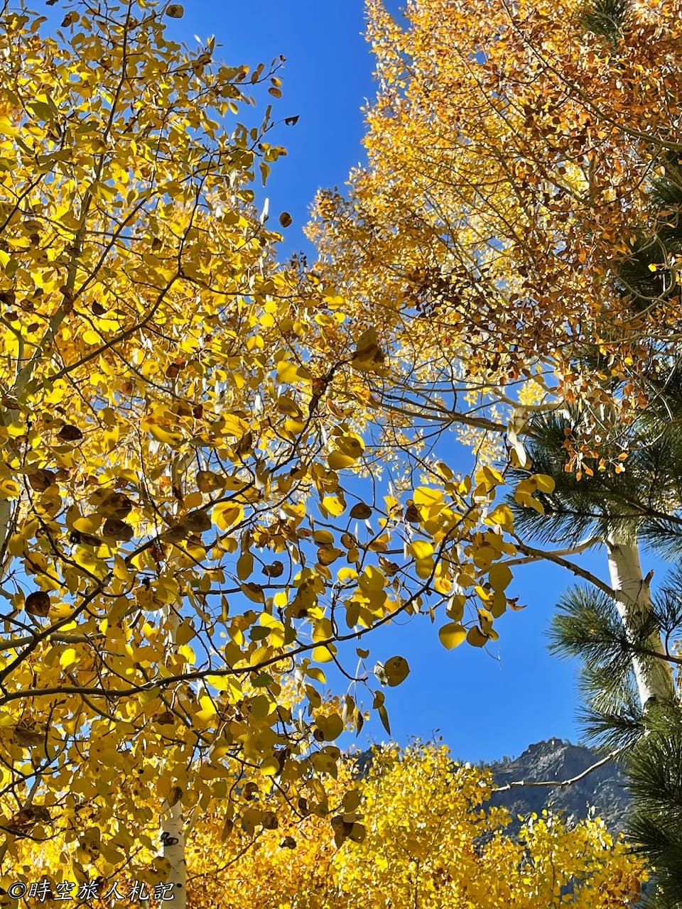
As we neared Silver Lake, the forests along the road had been painted in the golden hues of autumn leaves, creating a picturesque scene that was simply breathtaking. Compared to the other lakes, the fall colors here were especially enchanting, making it the most beautiful sight of our trip.
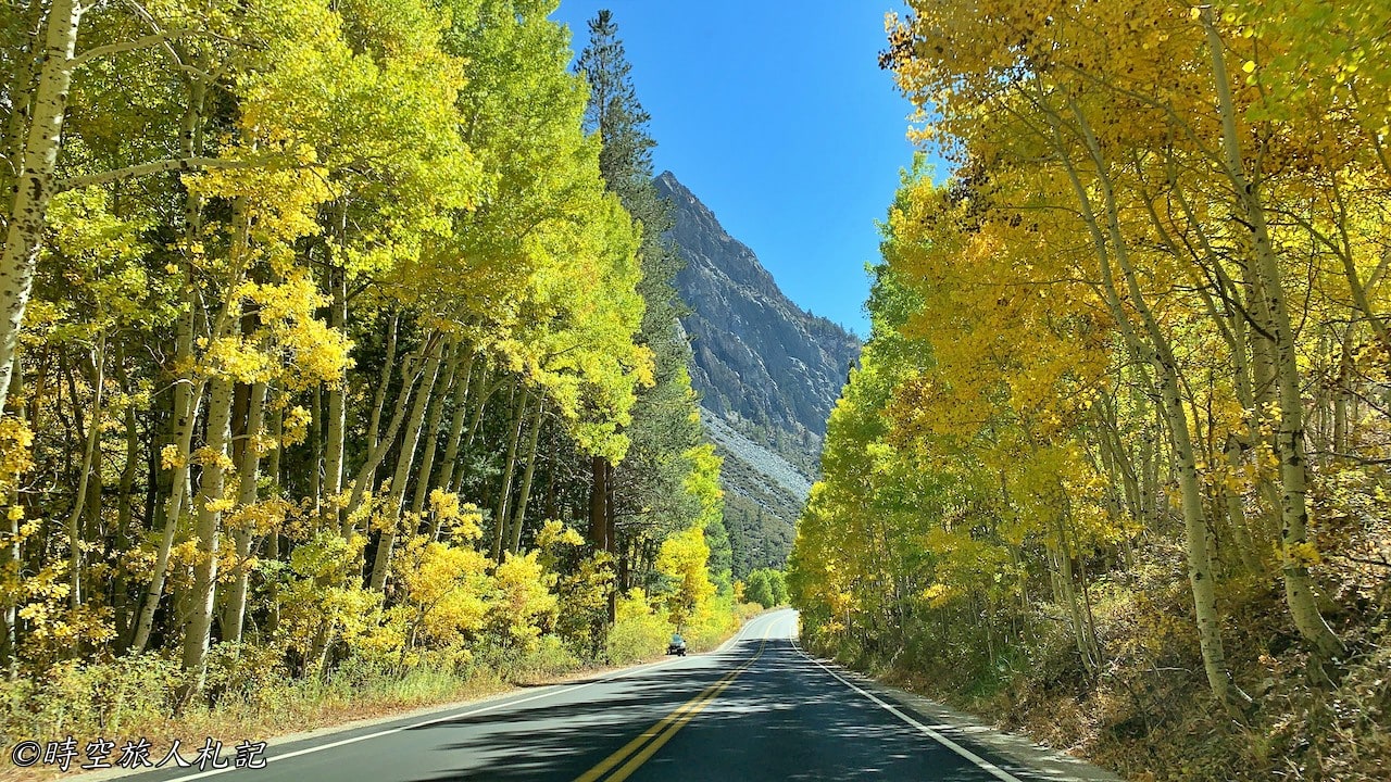
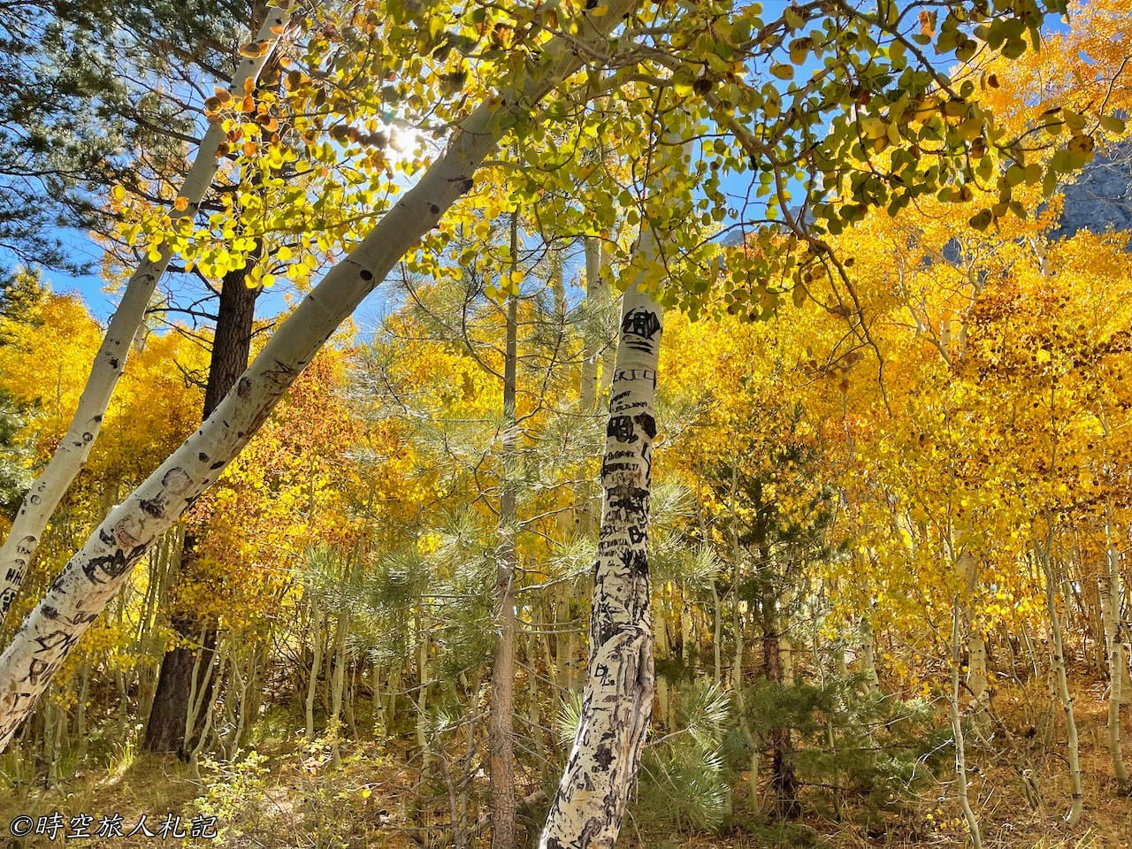
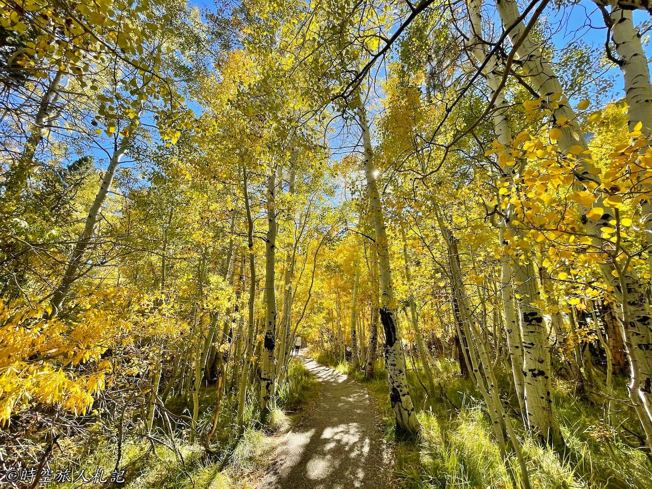
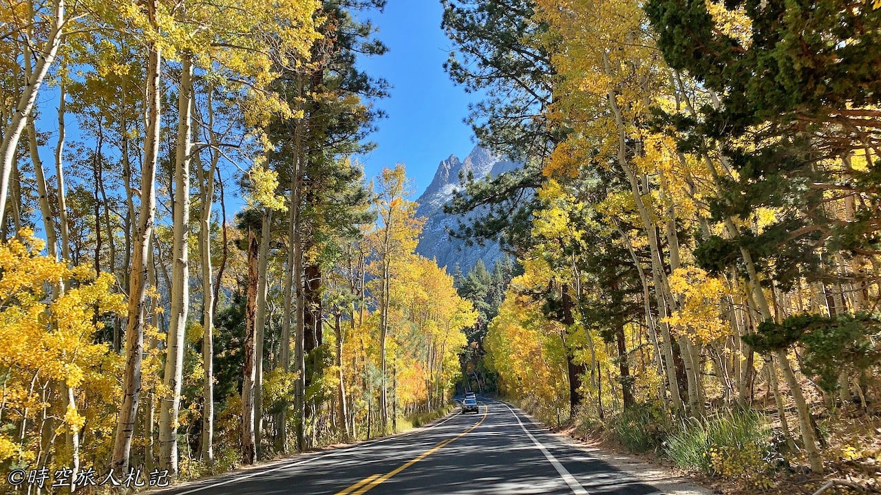
Although driving around the June Lake Loop takes only about half an hour, we couldn’t bear to rush through such magnificent autumn scenery. We strolled along the lakeside trail by Silver Lake, taking in the serene beauty and vibrant colors of the season, savoring every moment of tranquility and natural splendor.
Highway 395 | Mono lake
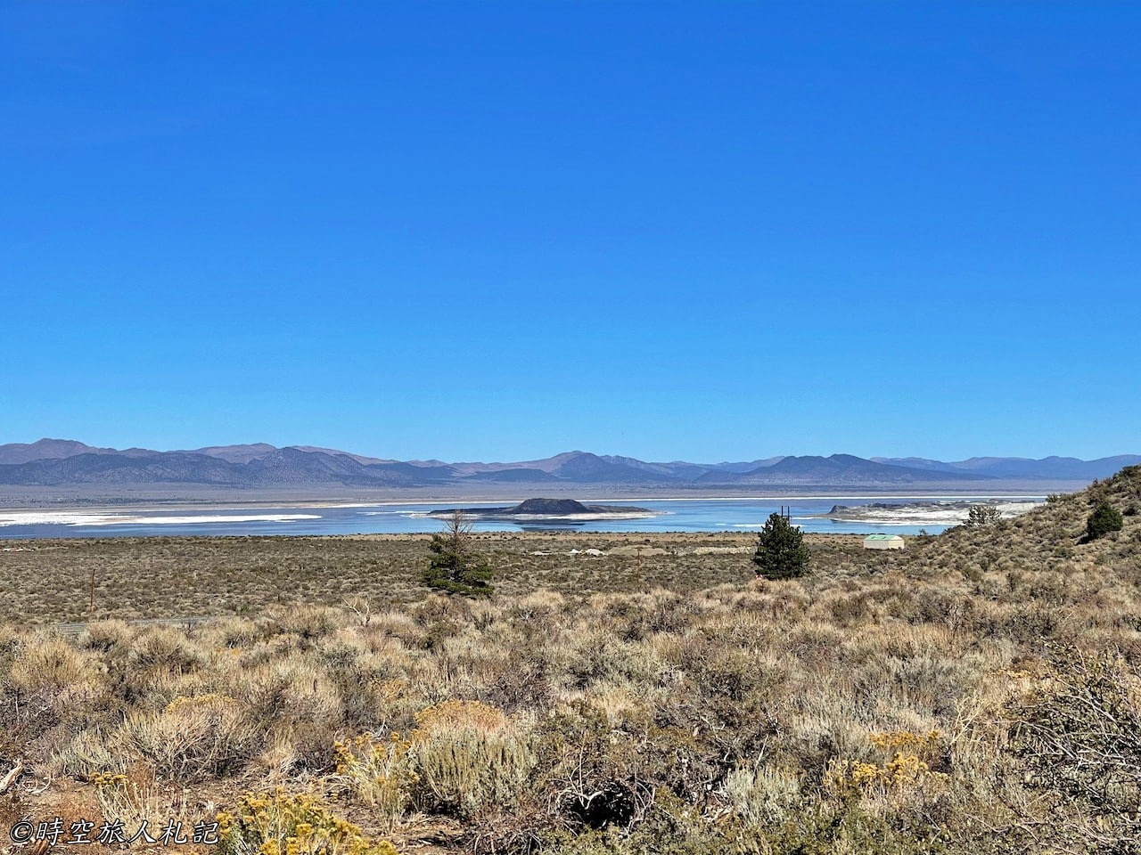
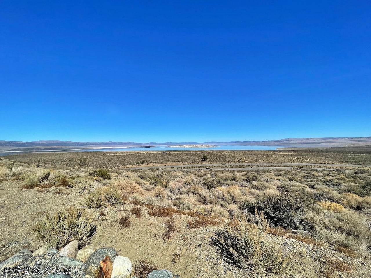
Mono Lake is located east of Yosemite National Park and spans over 70 square miles. This ancient saline lake boasts a long history and a unique ecosystem. After exiting Yosemite’s east gate and turning right onto the highway, a short drive past a gas station brings you to a higher vantage point. This spot offers an ideal view of Mono Lake, where you can take in the expansive lake’s breathtaking scenery from the western side, leaving visitors in awe of nature’s craftsmanship.
If you have more time, you can also visit the Lee Vining Visitor Center, where detailed information about Mono Lake’s ecology is provided, offering visitors deeper insights into the lake’s formation and its ecological significance.
Highway 395 | South Tufa
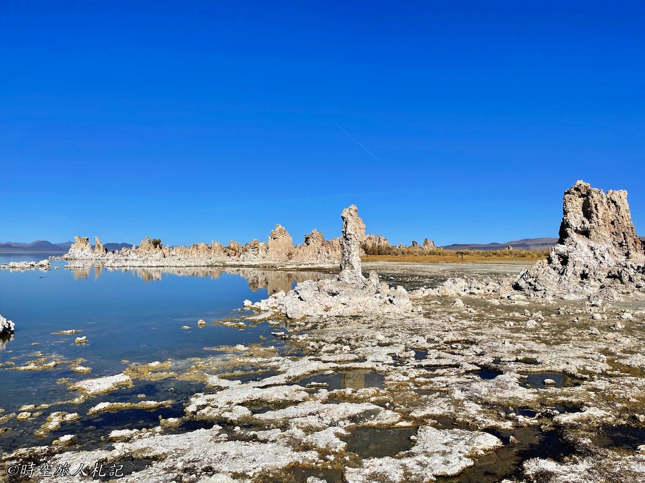
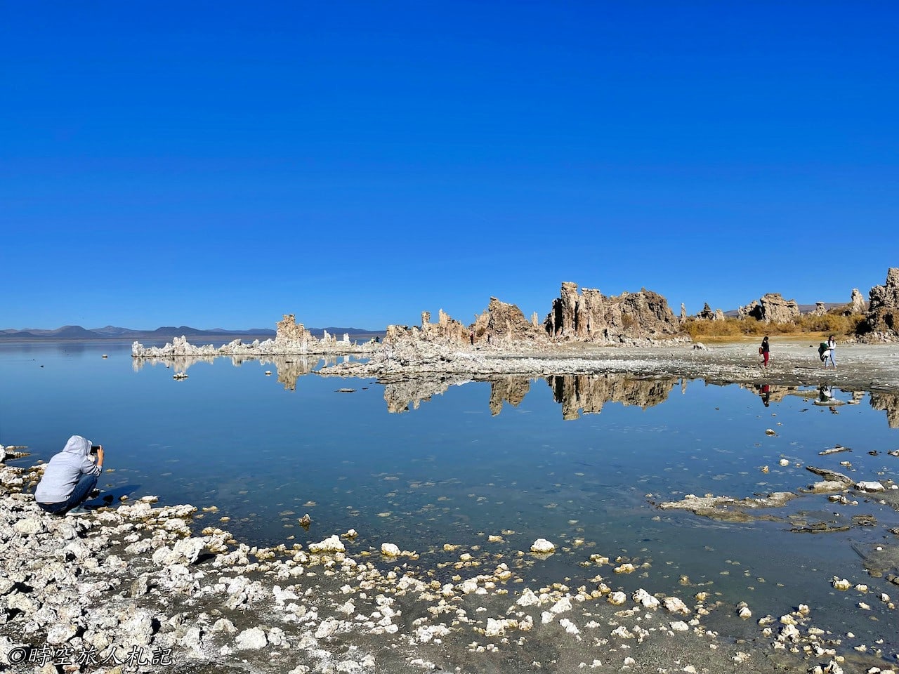
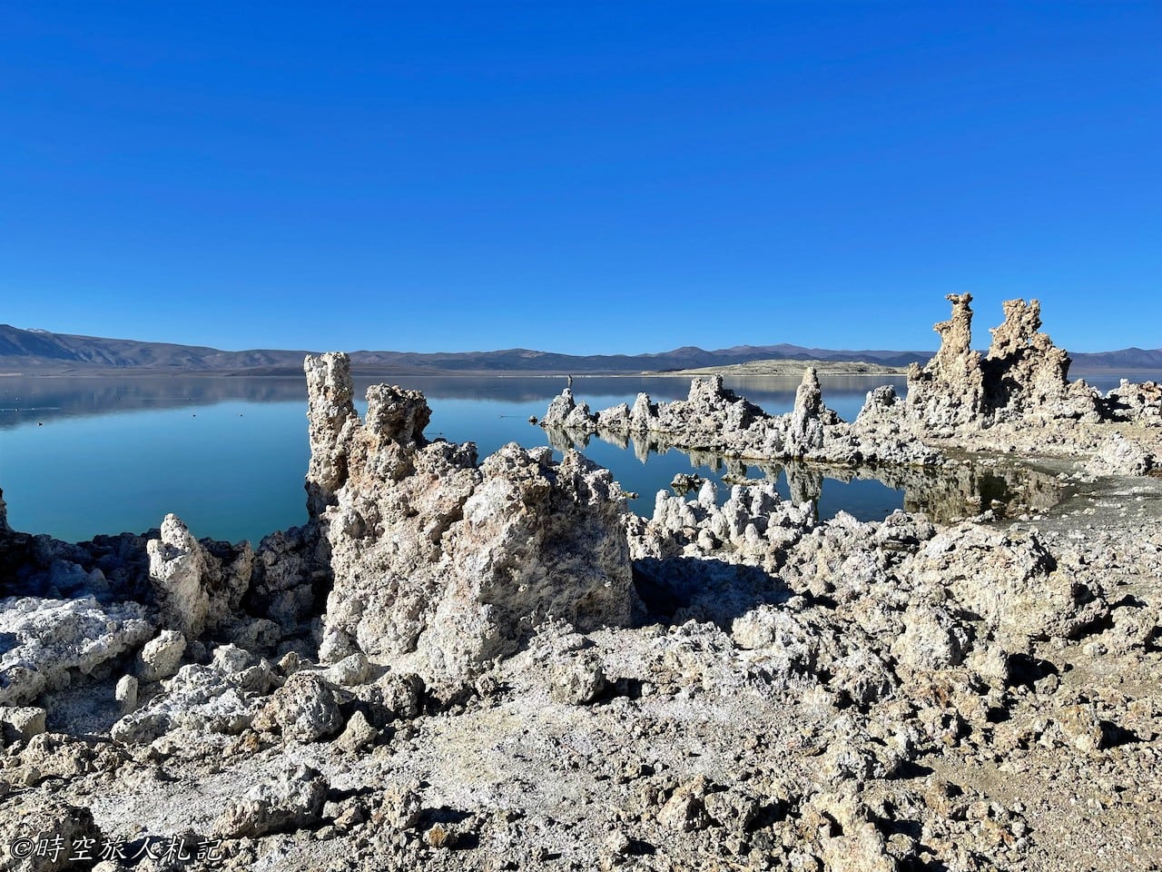
A visit to Mono Lake would be incomplete without stopping at the South Tufa area. The South Tufa trail is about 1 mile long, with flat terrain, making it the best spot to view Mono Lake’s unique landscape. To reach the South Tufa trailhead, you’ll drive over an unpaved section and need to pay an entrance fee, although the National Park annual pass is also valid here.
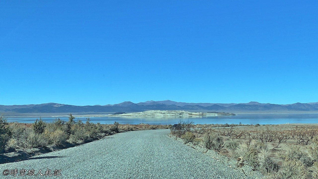
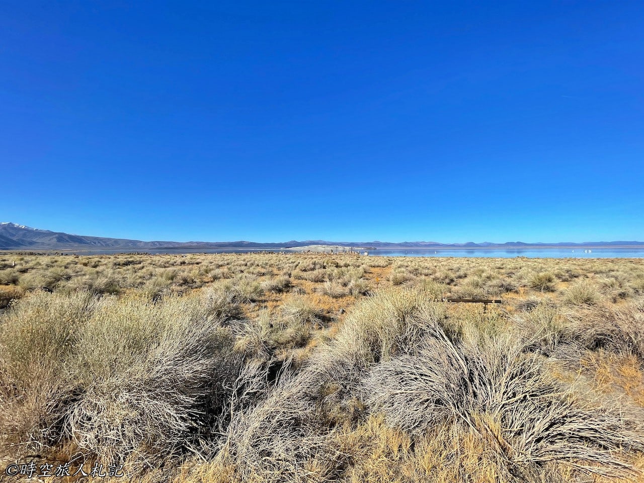
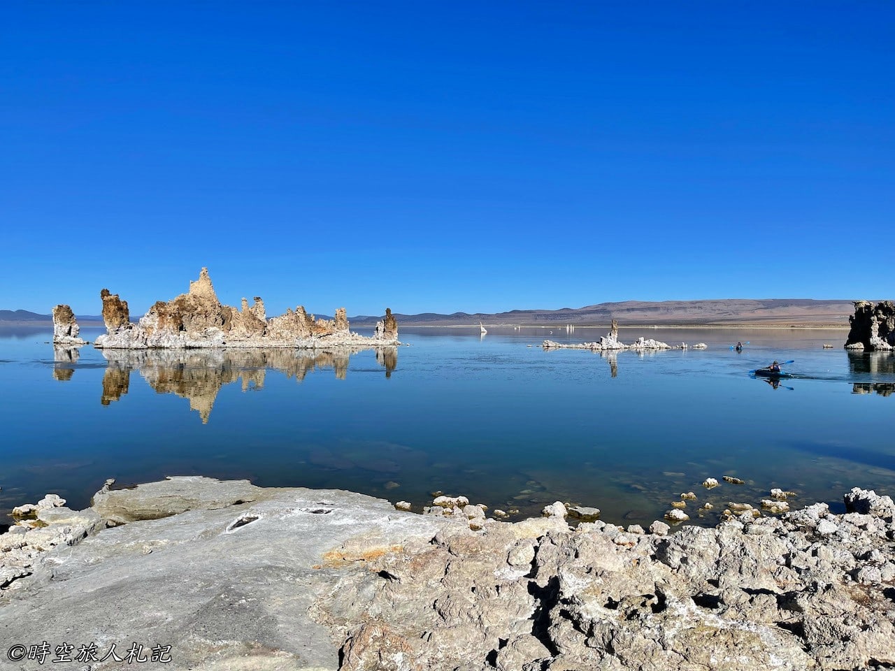
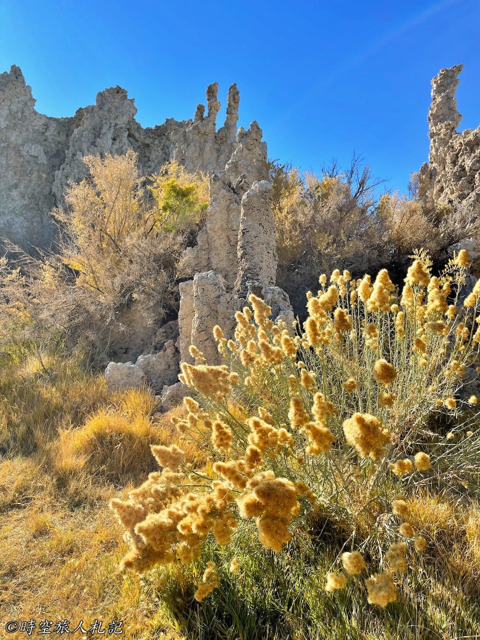
Tufa refers to the strange-looking salt towers formed because Mono Lake lacks an outlet. As the lake water evaporates, it leaves behind a large amount of salt, and calcium from the lake bottom combines with carbonates to form bubbles that slowly accumulate. Mono Lake’s salinity is higher than seawater, leading to the creation of these impressive salt pillars. In addition to the tufa towers, Mono Lake has a unique ecosystem, home to abundant waterfowl, brine shrimp, and alkali flies that thrive in this extreme environment. Freshwater rivers flowing into the lake provide the necessary water source for this ecosystem and nourish the trees along the shore.
This fragile ecosystem was once damaged by human activity. In 1941, the Los Angeles Department of Water and Power (DWP) diverted the tributaries of Mono Lake to meet the city’s water demands, causing the lake’s water level to drop by 45 feet and significantly increasing its salinity, severely impacting the ecosystem (the current trails were once covered by waist-deep water). After years of lawsuits, regulations were established to ensure Mono Lake’s minimum water level, allowing water to flow back into the lake and restoring part of its ecosystem.
Walking along the trail, we could see the lake’s crystal-clear waters, with the high salt content creating a special color and texture on the surface. The reflections of the salt pillars on the lake’s surface made for a dreamlike scene. Some visitors chose to kayak, while others simply immersed themselves in the serene atmosphere, finding a quiet spot between the salt towers to sit and meditate.
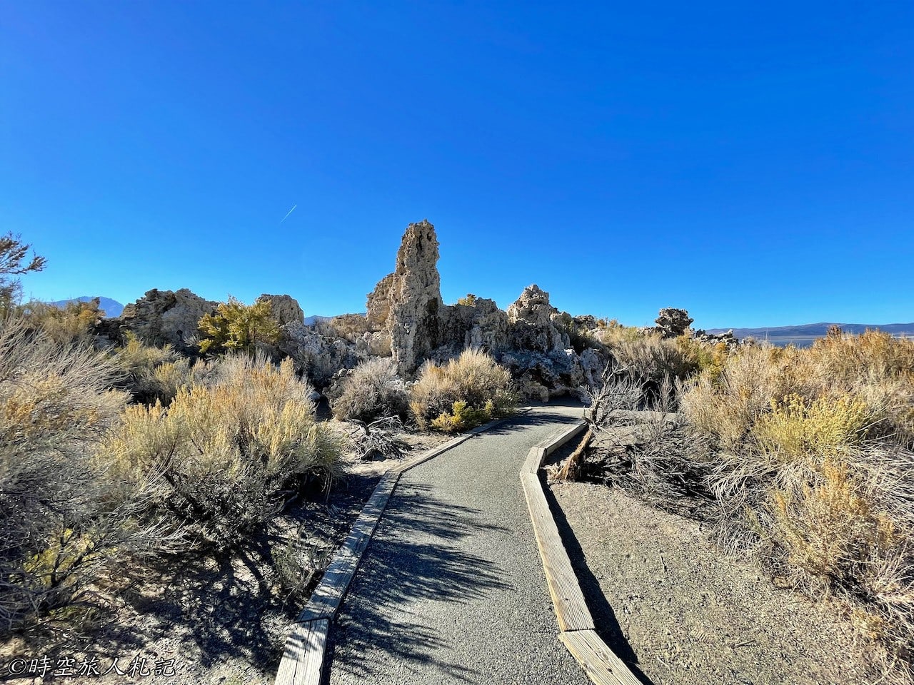
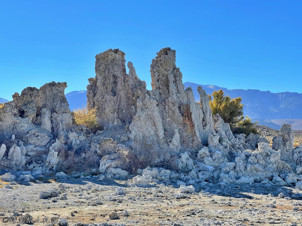
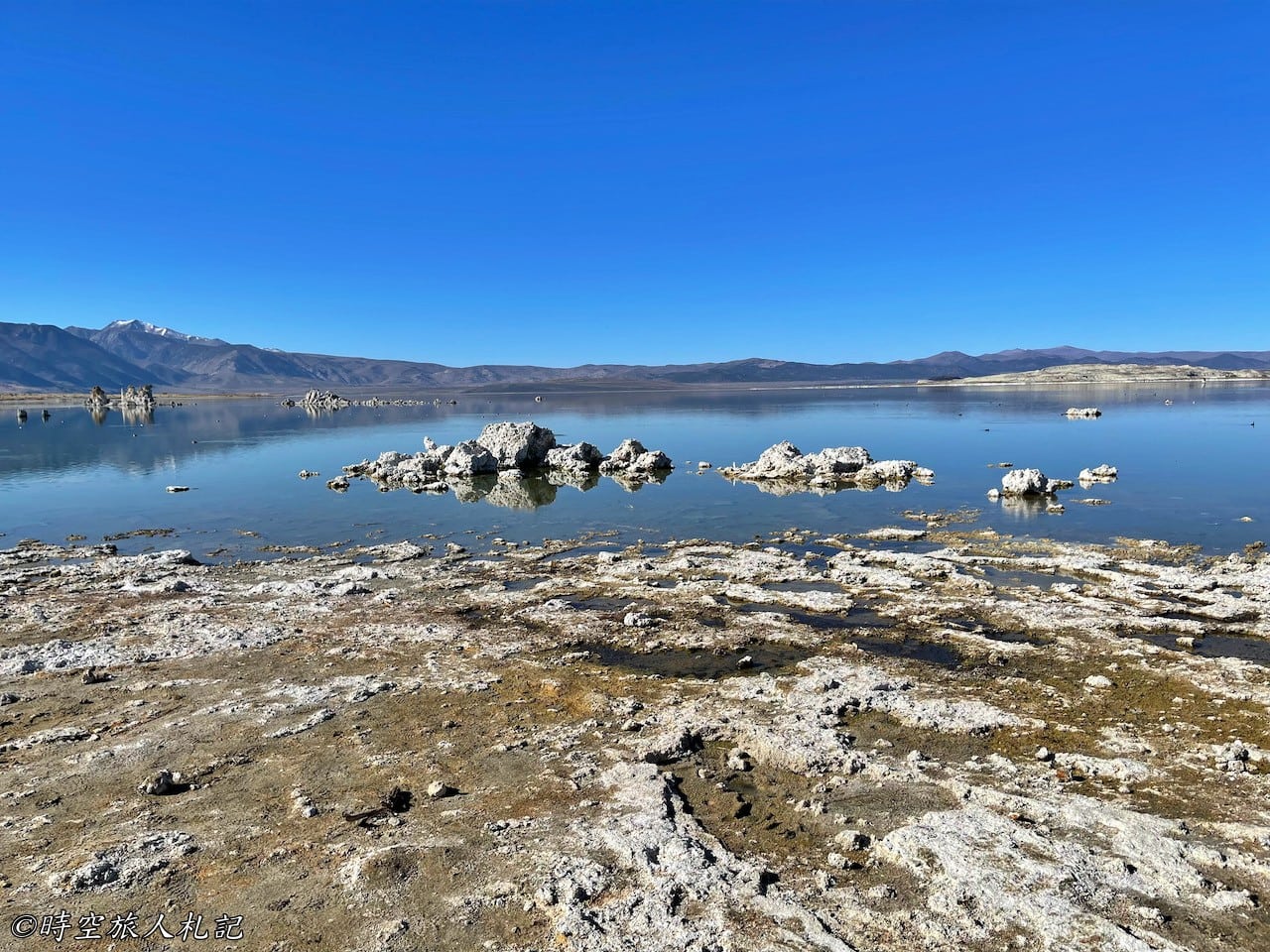

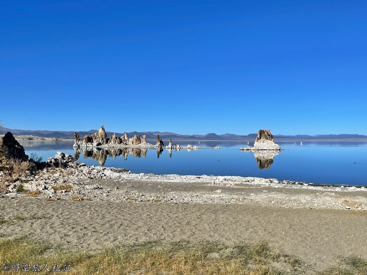
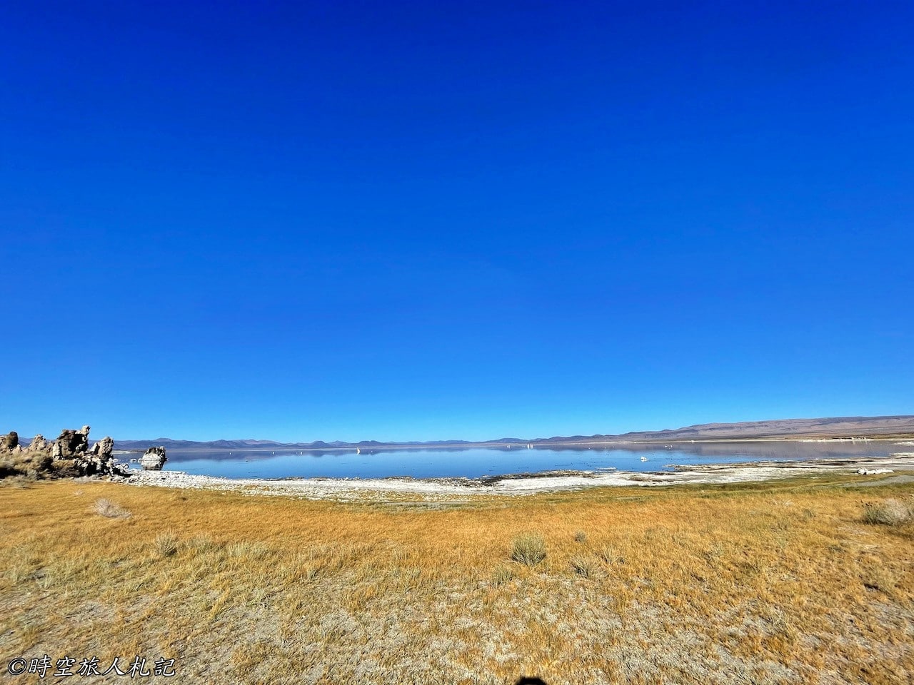
Continuing east along the trail, you can also pass through a grove and reach the beautiful Navy Beach.
☕ Enjoying my travel notes?
You can Buy me a coffee to support what I do 🙌