Contents
Ross Maxwell Scenic Drive at Big Bend National Park
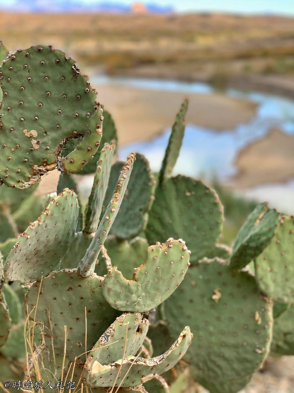
Big Bend National Park is located in the southwestern part of Texas. The park itself can generally be divided into three areas: east, central, and west. The west refers to Ross Maxwell Scenic Drive. This 30-mile scenic road passes through vast Chihuahuan Desert landscapes and goes past Castolon Historic District, extending all the way to the Santa Elena Canyon at the Mexico-United States border. The endpoint, Santa Elena Canyon, is considered a must-visit trail in Big Bend National Park. If you drive this route without stopping, it's a journey of over an hour one way.
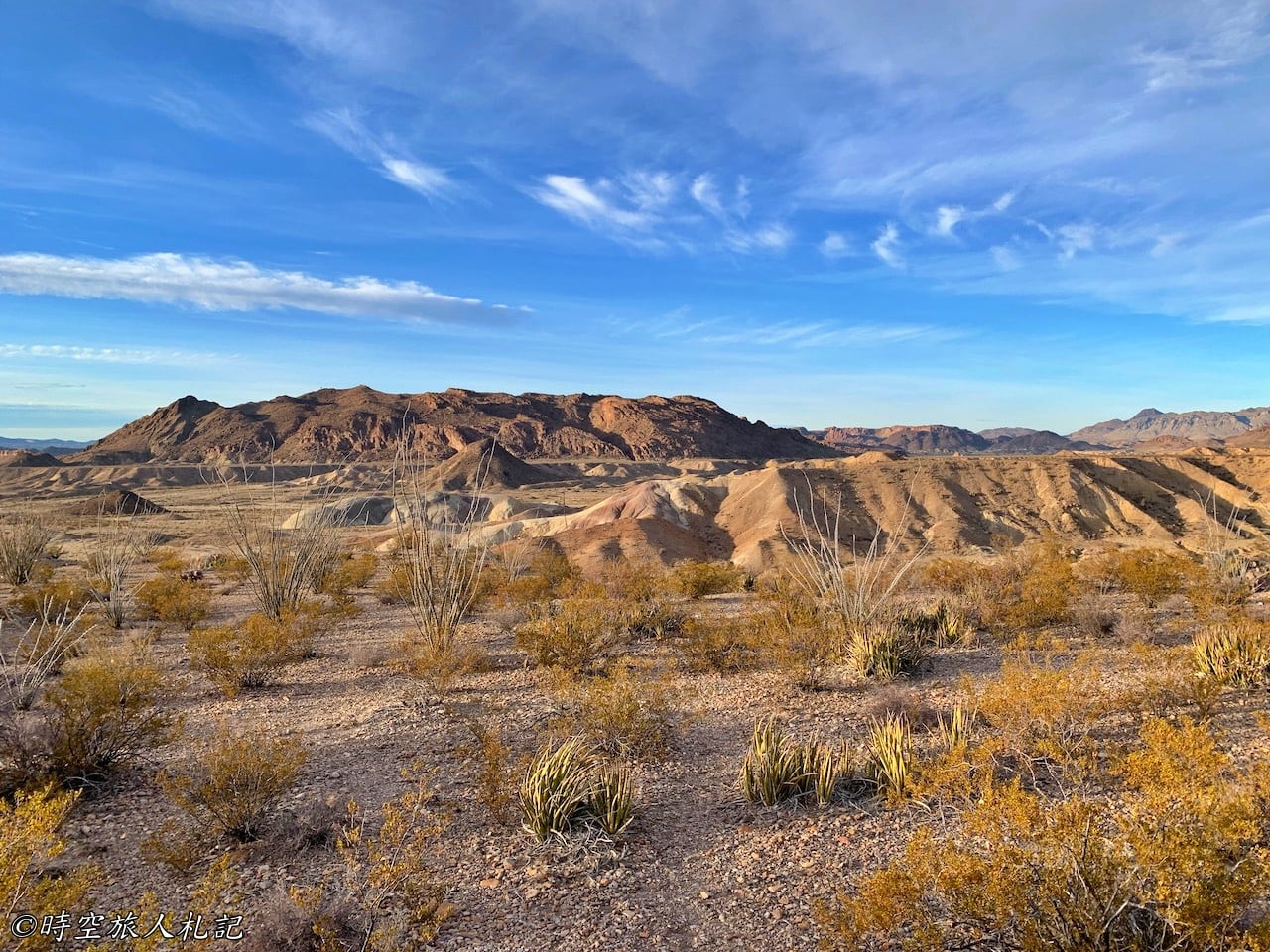
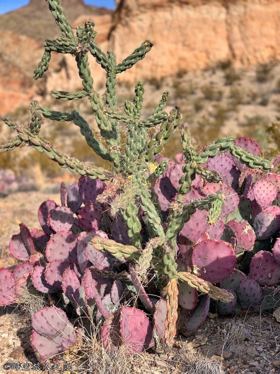
Most of the time on the desert offers a backdrop of cacti, but the majority of the drive is towards Santa Elena Canyon. After passing Sotol Vista, the canyon vistas gradually come into view, making it the highlight of this scenic route. Along the way, there are plenty of points of interest, each with its own unique geological features, making for an hour-long drive filled with diverse landscapes. In addition to enjoying the scenery, you can also visit historical places like Sam Nail Ranch and Castolon. If you plan your trip well, a day is just enough for a round trip.
Attractions
Sam Nail Ranch
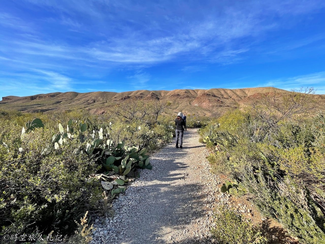
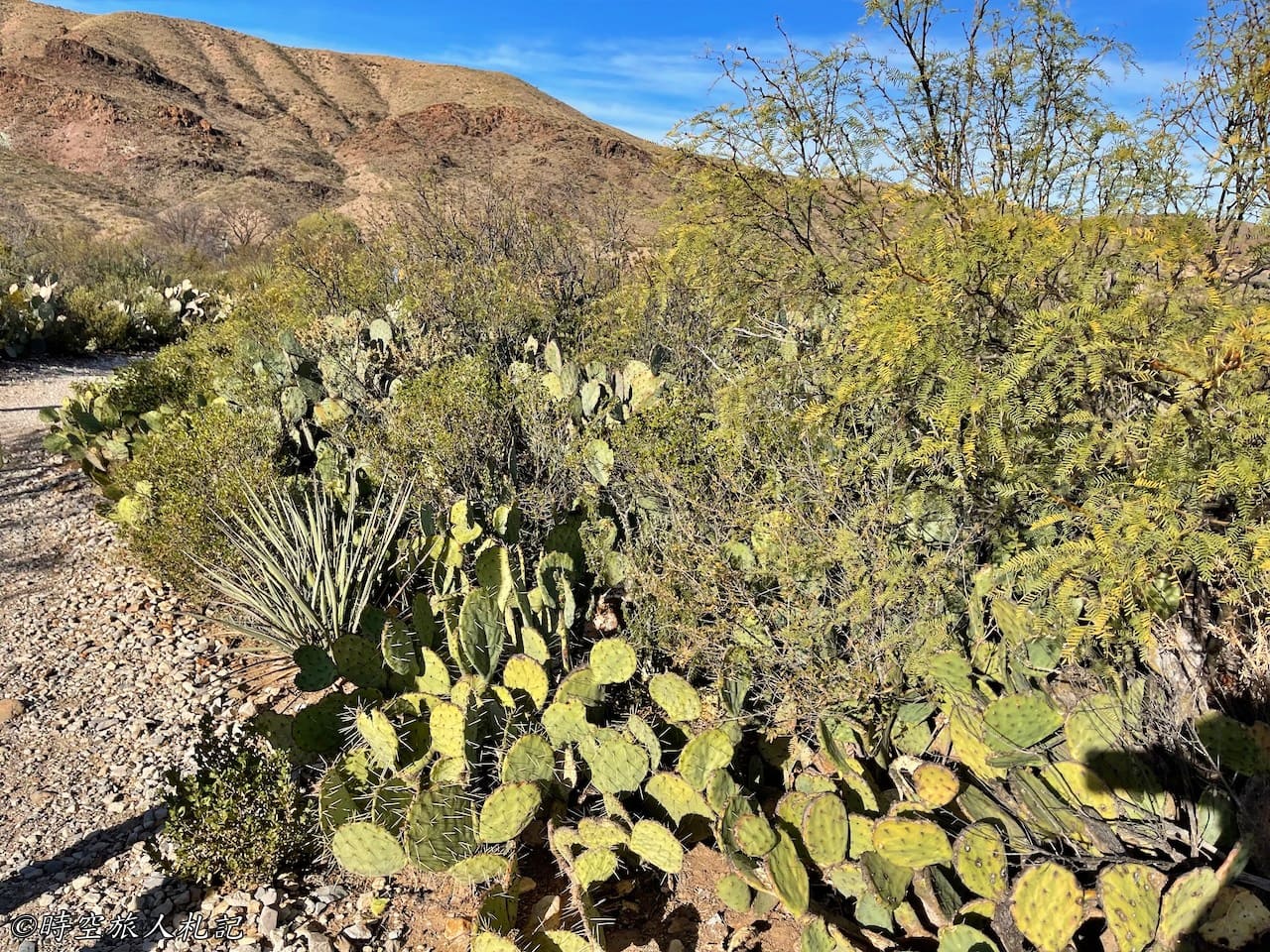
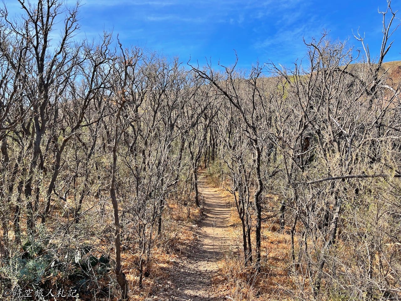
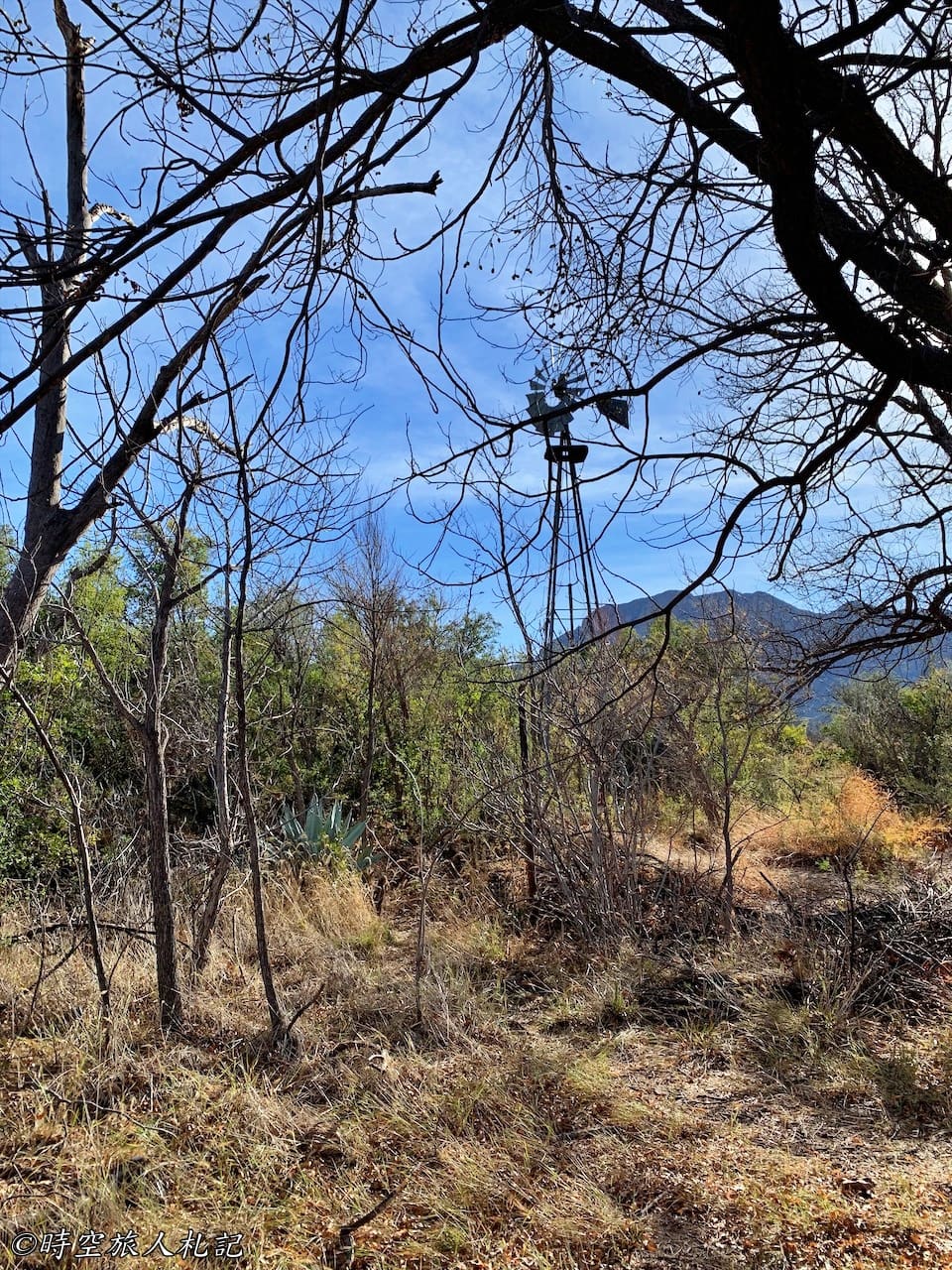
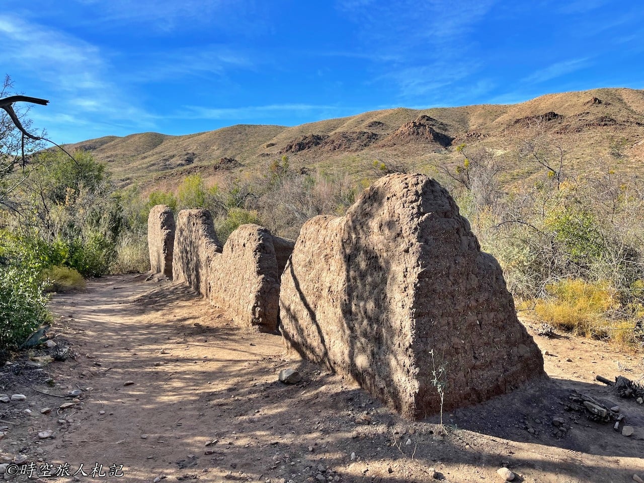
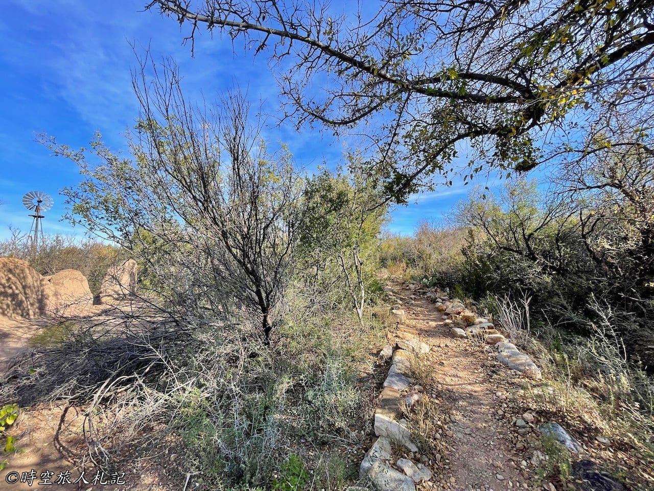
The first stop on the road, Sam Nail Ranch, was the former home of early settler Sam Nail. Take a leisurely walk on the simple 0.5-mile trail to explore the area and you can still see the traces of Sam Nail and his wife's diligent efforts. You'll pass by remnants of their windmill, orchard, garden, chicken coop, and, of course, the remains of their house. It's quite remarkable to think that they managed to establish a complete living environment here in the desert. At the front of the house, you can also see the carefully arranged landscaping.
Sotol Vista
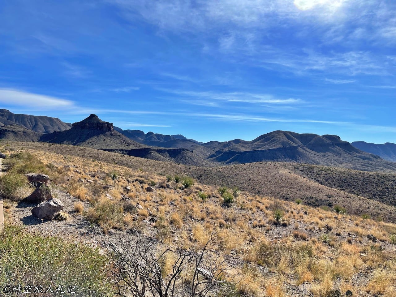
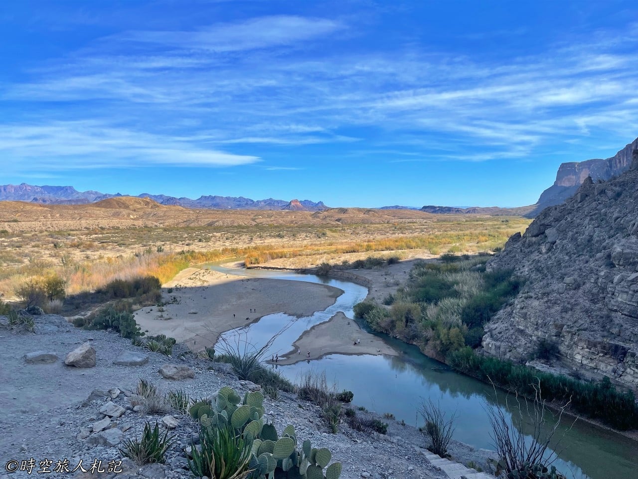
Sotol Vista is a must-stop viewpoint, conveniently located right next to the parking lot. From this spot, you can enjoy a 360-degree view of the entire western landscape of the national park. From here, you can already catch a glimpse of our final destination, Santa Elena Canyon. It's even more breathtaking during sunrise or sunset.
Mule Ears Overlook
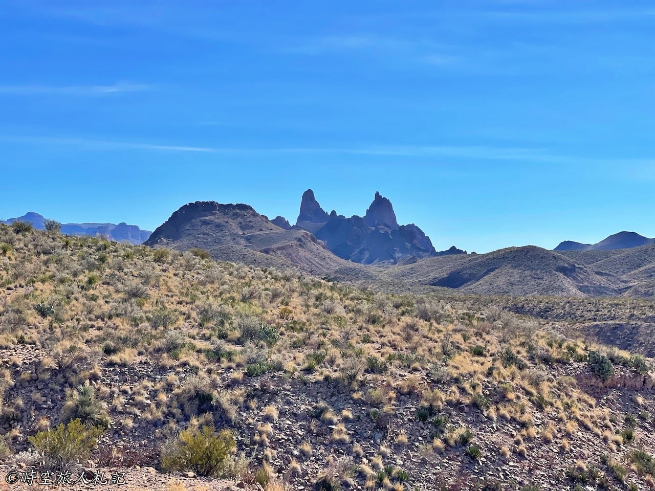
To see the Mule Ears, there are two ways. One is to visit the Mule Ears Overlook, from where you can get a fairly clear view of the distinctive double-peak formation resembling mule ears on the mountain. The other option is to take the Mule Ears Spring Trail, which is a 3.8-mile round trip hike and not too long of a trek to experience the area up close.
Tuff Canyon
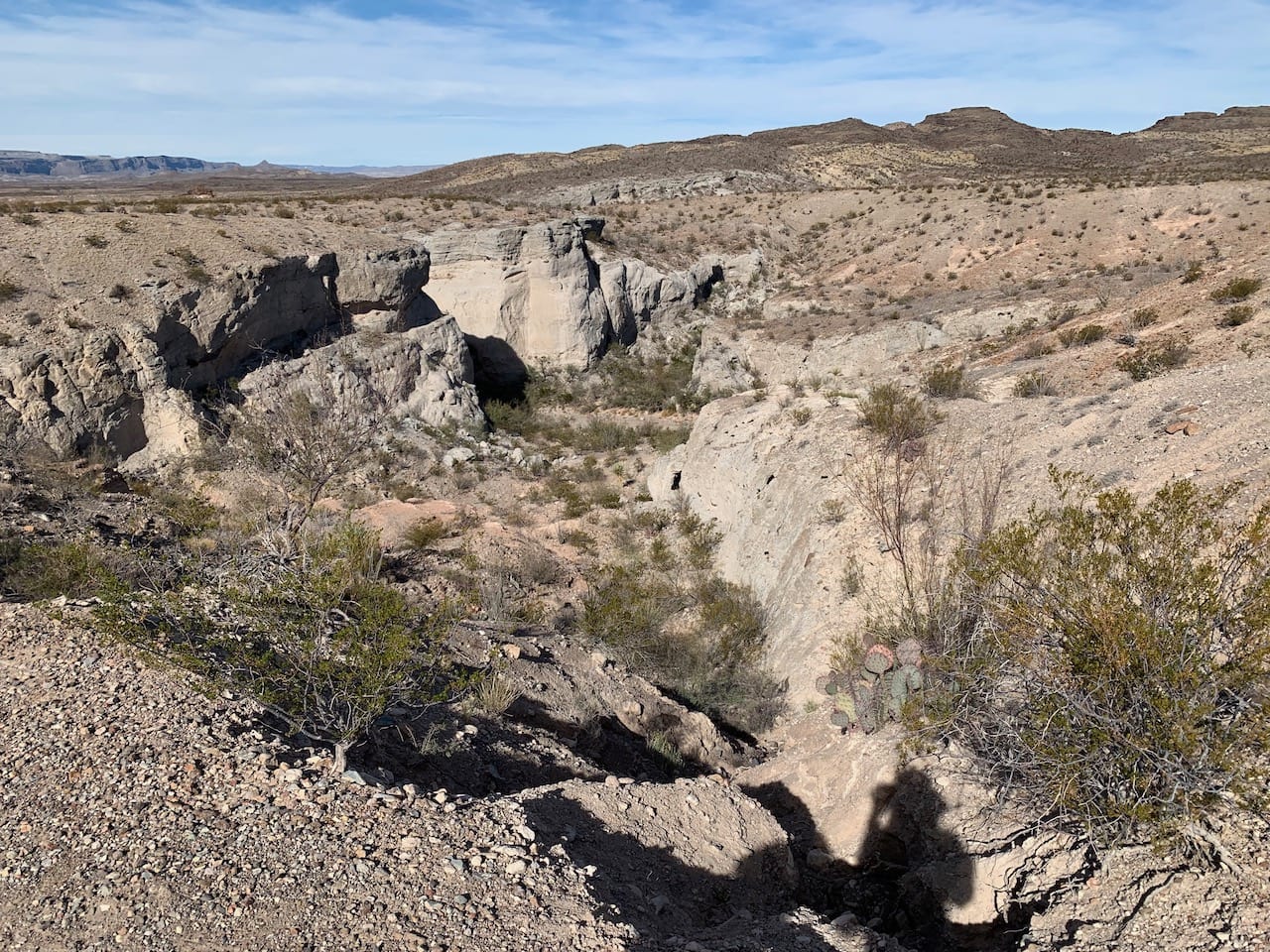
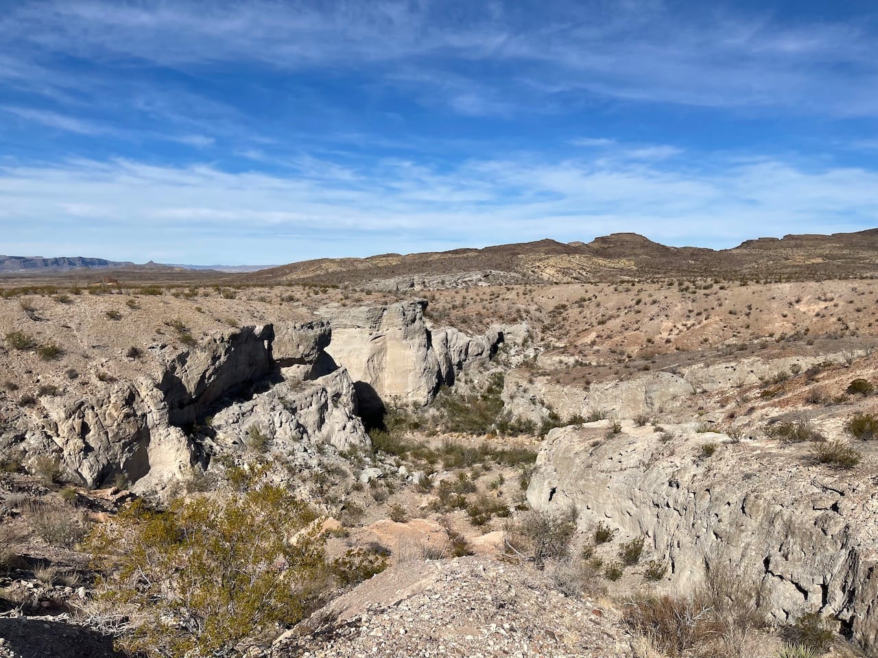
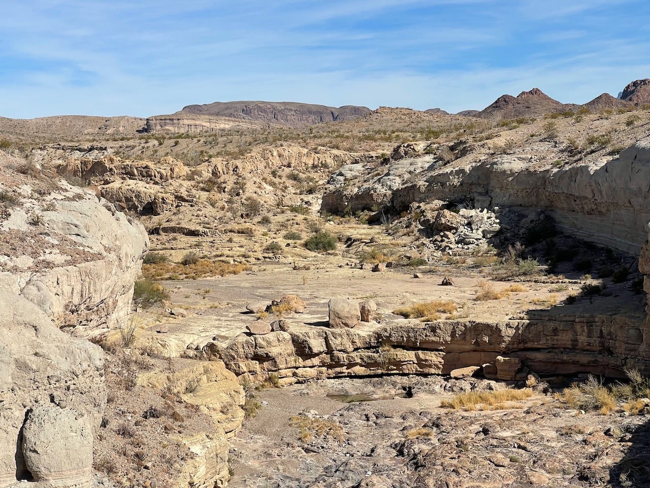
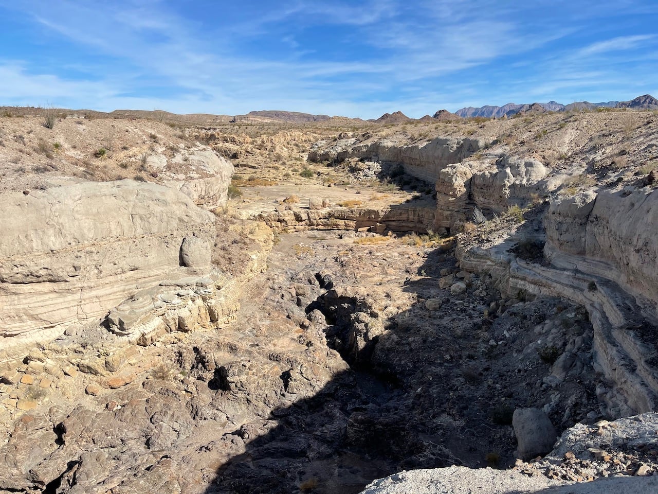
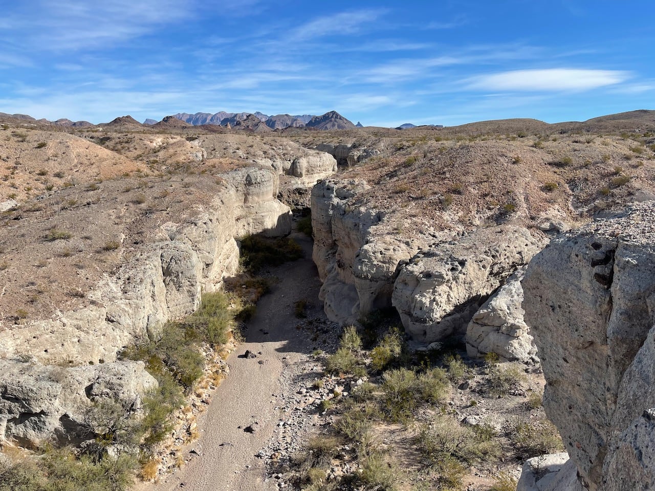
Tuff Canyon is relatively less mentioned but truly spectacular. You can catch a glimpse of this canyon from the Tuff Canyon Overlook, offering two vantage points - one on the left and one on the right - to view it from different angles. During the rainy season, the canyon can sometimes fill with water. The rocks in Tuff Canyon are formed from the volcanic ash deposits of St. Helena and have been shaped by water erosion into the deep and narrow cross-shaped gorge we see today. There is also a trail next to the overlook that allows you to hike down to the bottom of the canyon.
Castolon Historic District
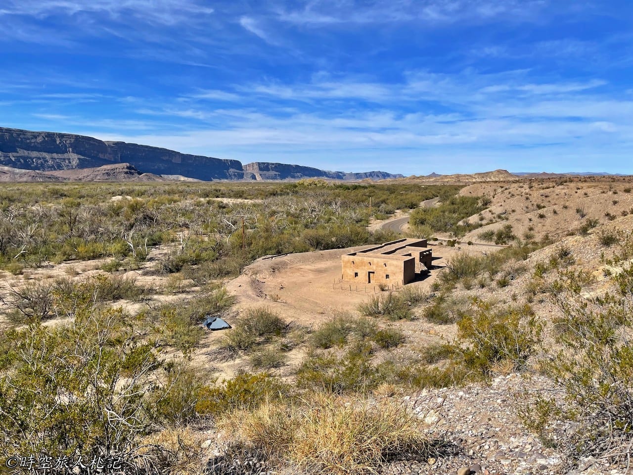
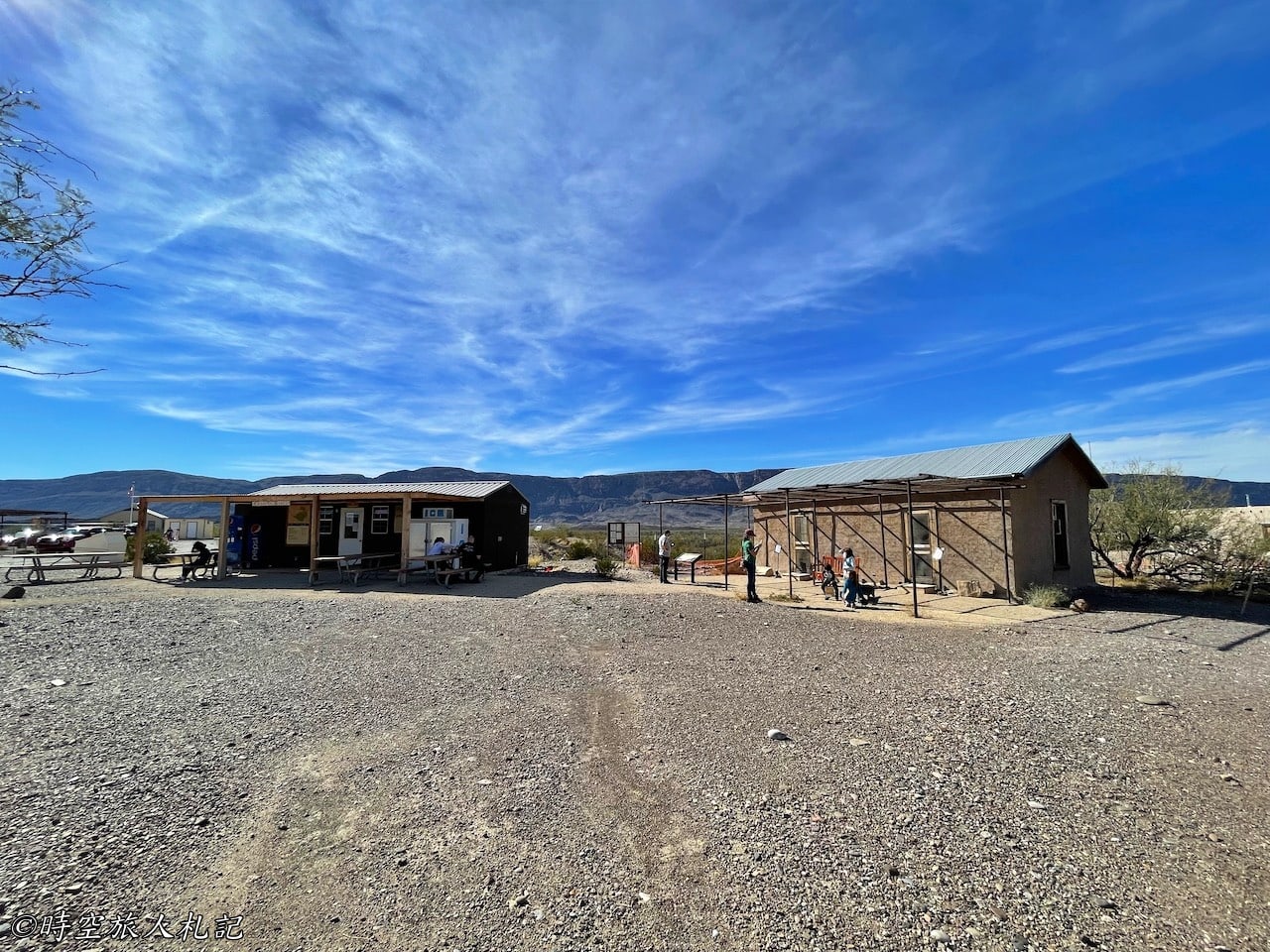
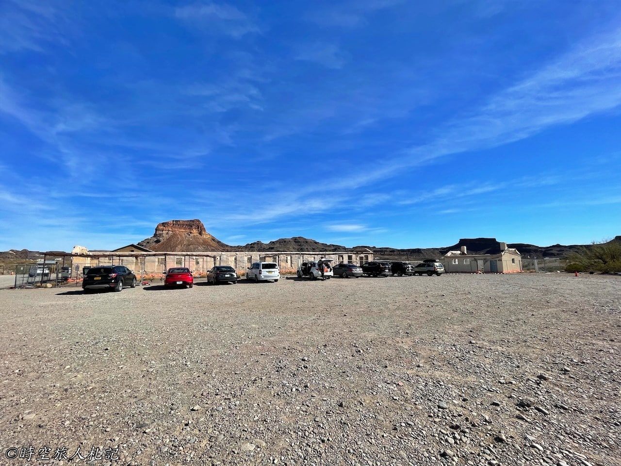
The Castolon Historic District is a fascinating place with a rich history. In the early 20th century, it was initially a cavalry camp. Later, due to the La Harmonia Company's trading operations in the area, it became a community on the US-Mexico border, and people lived here until the 1960s. What remains now are numerous historical relics from the desert community's past, offering plenty to explore. It's also the location of the visitor center, making it a convenient starting point for learning about the area's history and attractions.
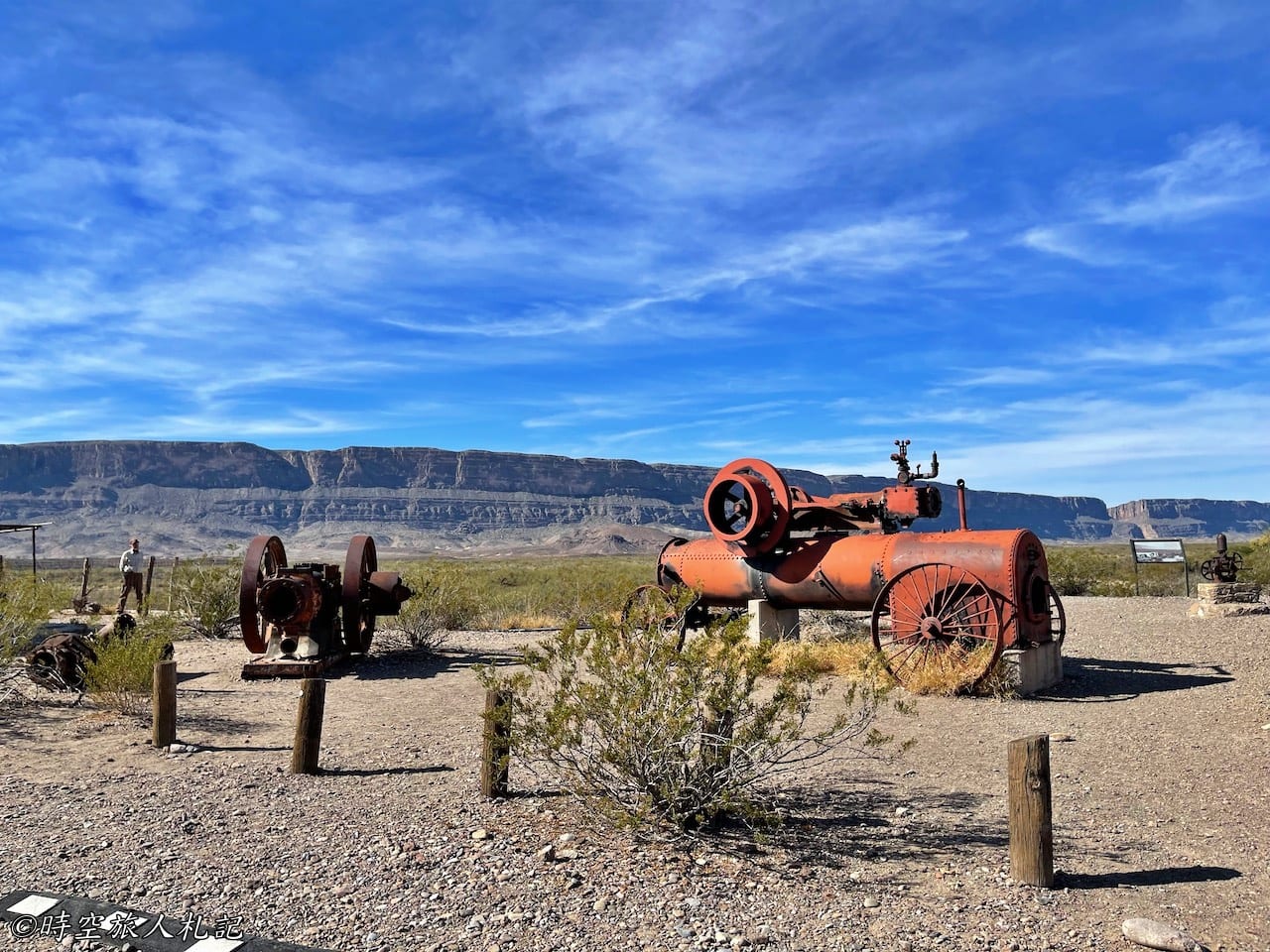
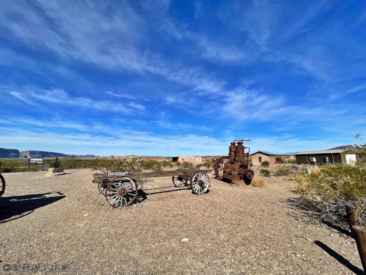
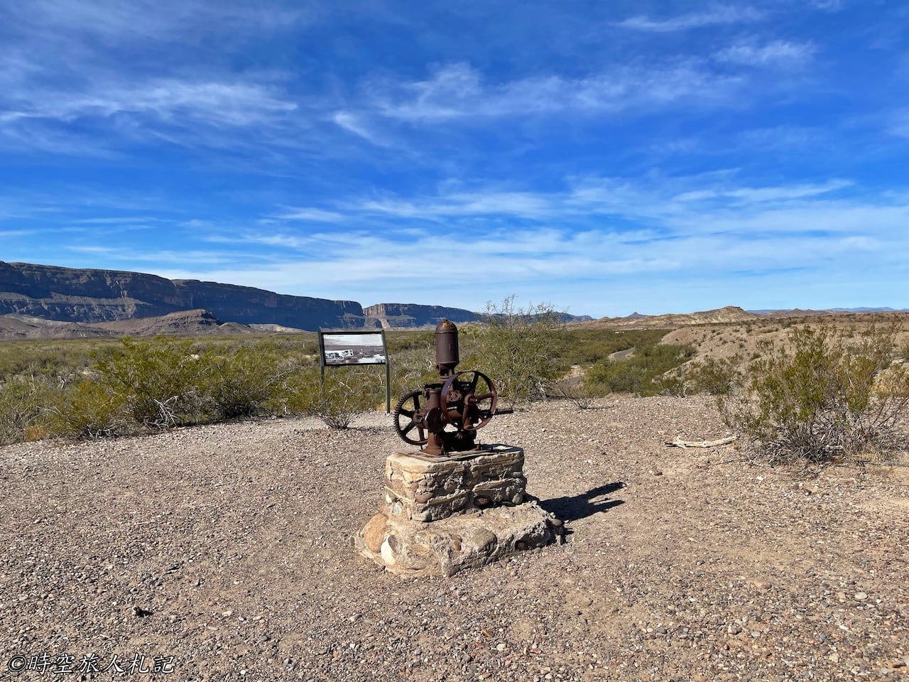
The establishment of Castolon dates back to the early 1900s, which isn't too long ago when you consider the history of the area. While much of Big Bend National Park consists of desert, the presence of the Rio Grande River attracted people who began attempting cultivation nearby. With the gathering of people, commercial activities also began to emerge. Cipriano Hernandez decided to start growing crops by the river and began a small business, primarily serving the nearby residents and the mining community in Terlingua. The earliest storefront was located in the Alvino house in this area.
Over the years, ownership of the small shop changed hands several times, but it remained an important presence in the region. Besides its economic significance, it also held political importance, and it witnessed the changing times, including the Mexican Revolution, alongside the local community. Whether legally or illegally, it provided support and services to the residents of the U.S.-Mexico border, meeting their various needs.
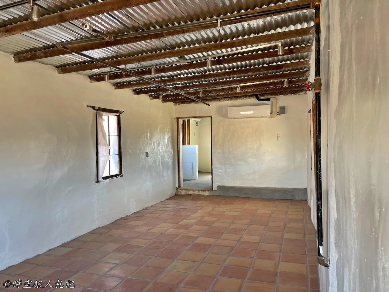
In 2019, a wildfire destroyed the original visitor center, which led to some buildings being temporarily closed. The exhibits were relocated to a place just above the Alvino house, the residence of the Garcia family, who worked in the area. The exhibits inside provide more in-depth historical explanations about the region, making it quite interesting for visitors to explore and learn more about the history of the area.
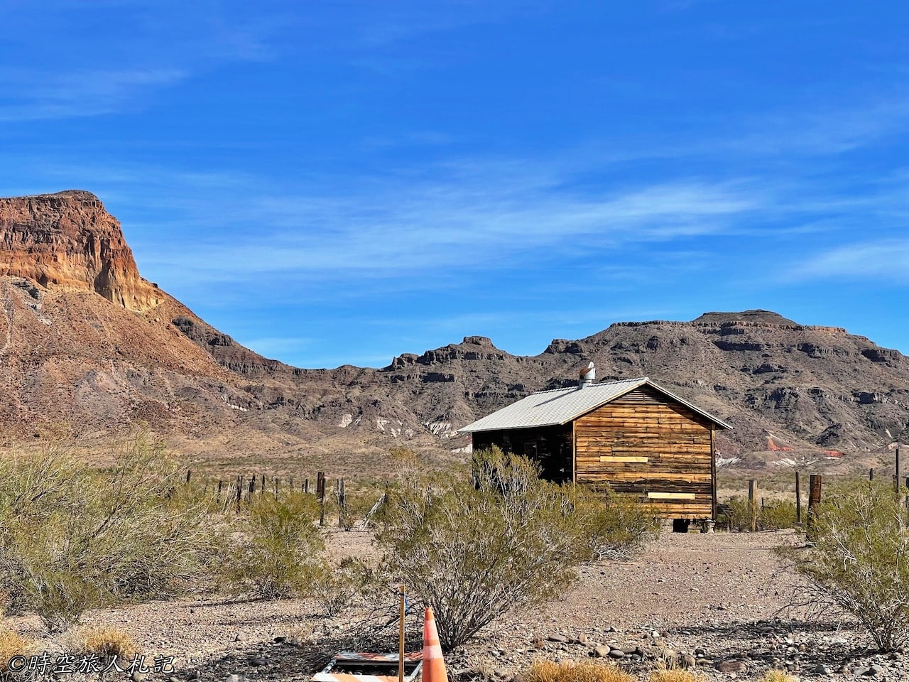
La Harmonia store
The grocery business that had its beginnings in the Alvino house changed hands several times before being purchased by Howard Perry around 1918. Perry later established the La Harmonia Company. During the years from 1912 to 1920, due to unrest in Mexico, many Mexican individuals migrated northward across the border. La Harmonia Company became a stabilizing force in the area, taking on roles beyond its original business. In addition to its regular operations, it also took on responsibilities such as safeguarding possessions and managing law and order, effectively assuming functions akin to a government entity for the local community.
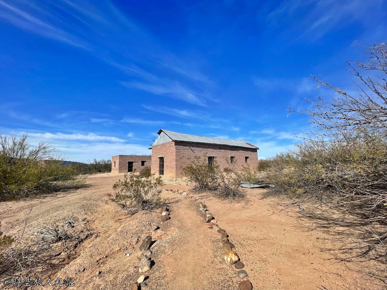
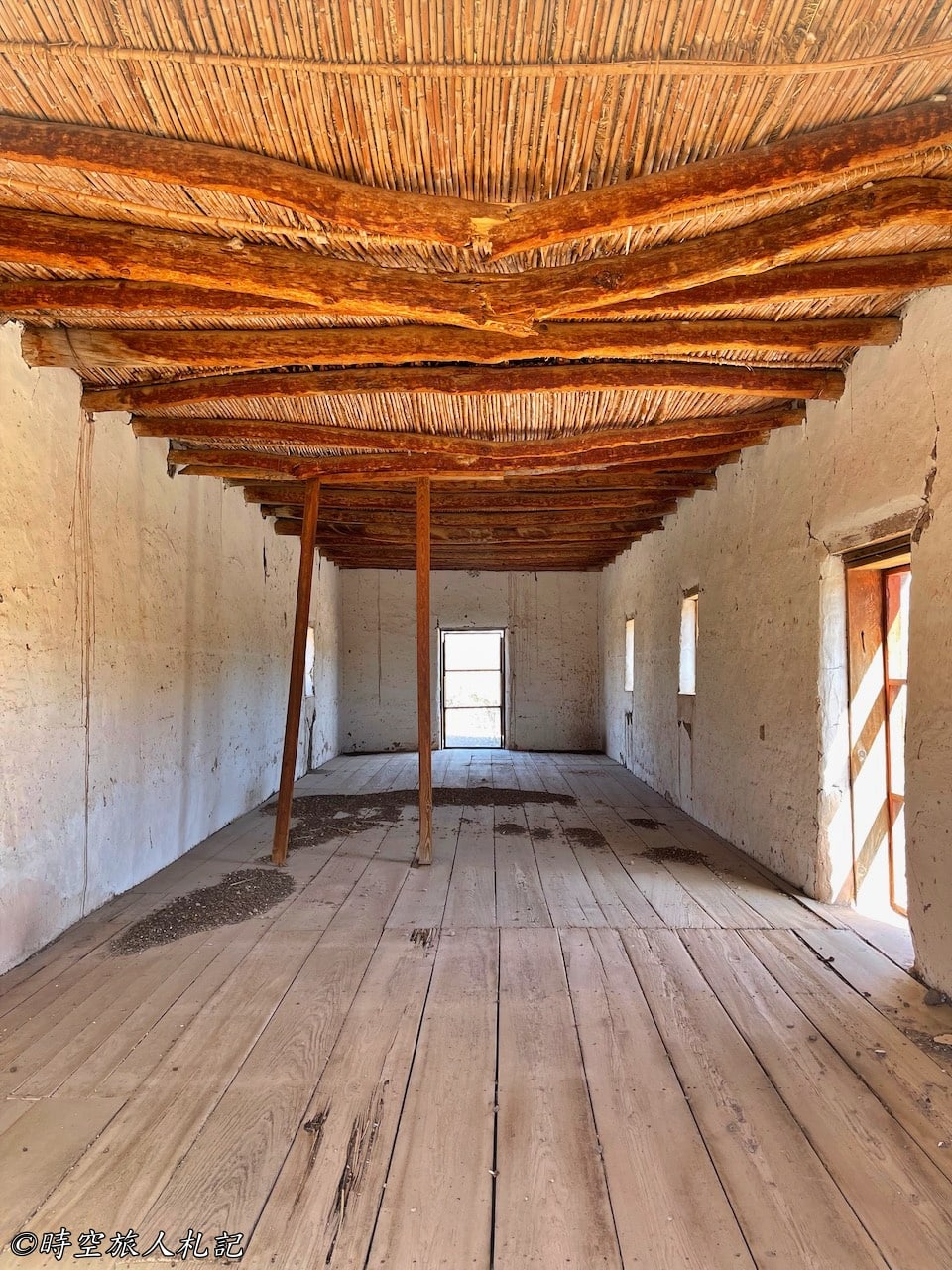
Dorgan-Sublett Trail
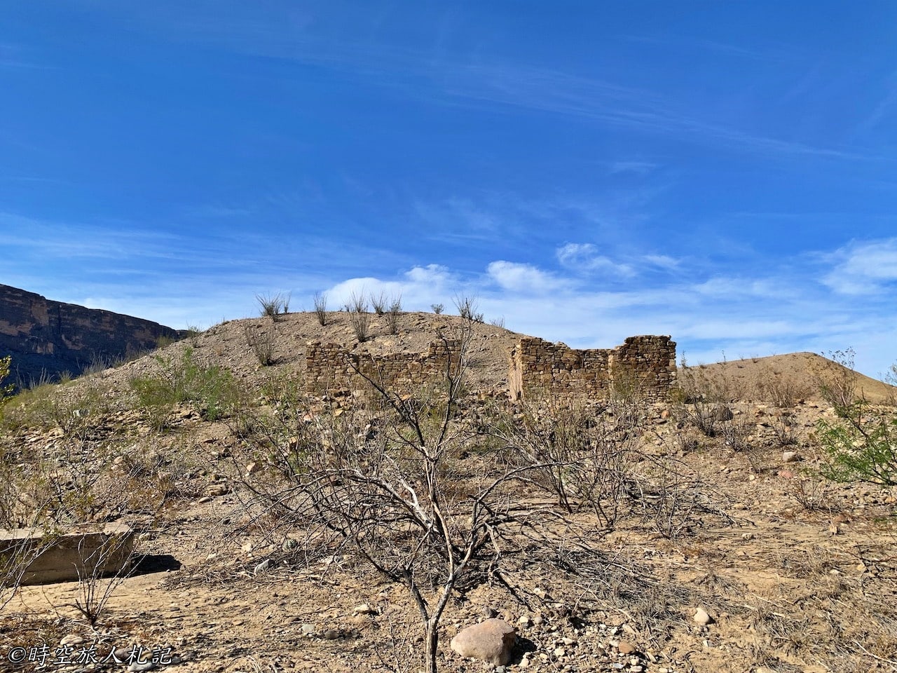
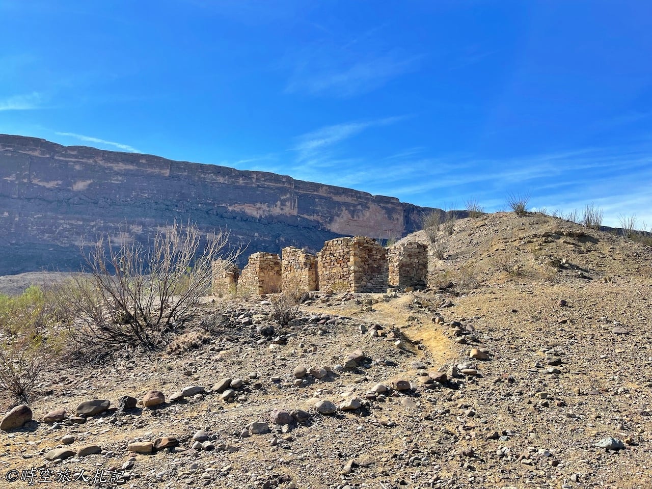
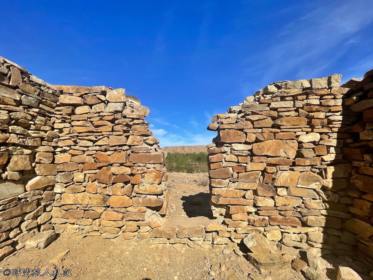
On this 1-mile round trip trail, you'll encounter four early 1900s-era ruins. These ruins were once the homes of James Sublett and Albert Dorgan. James Sublett was a previous owner of the Alvino House and operated it for four years. Albert Dorgan was an architect who came to the area in the 1930s and collaborated with Sublett, resulting in the construction of a grand house in the desert. While this mansion is now just a ruin, it still stands out compared to the other structures you'll find, and you can see its past grandeur. In the 1940s, when Big Bend National Park was newly established, Dorgan initially hoped to operate it as a resort.
Santa Elena Canyon Trail
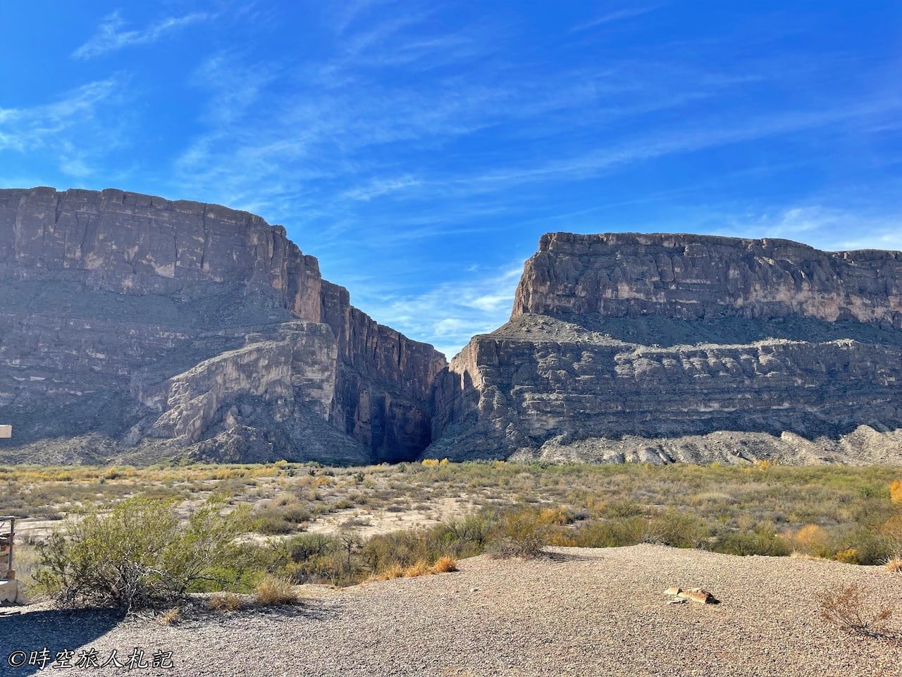
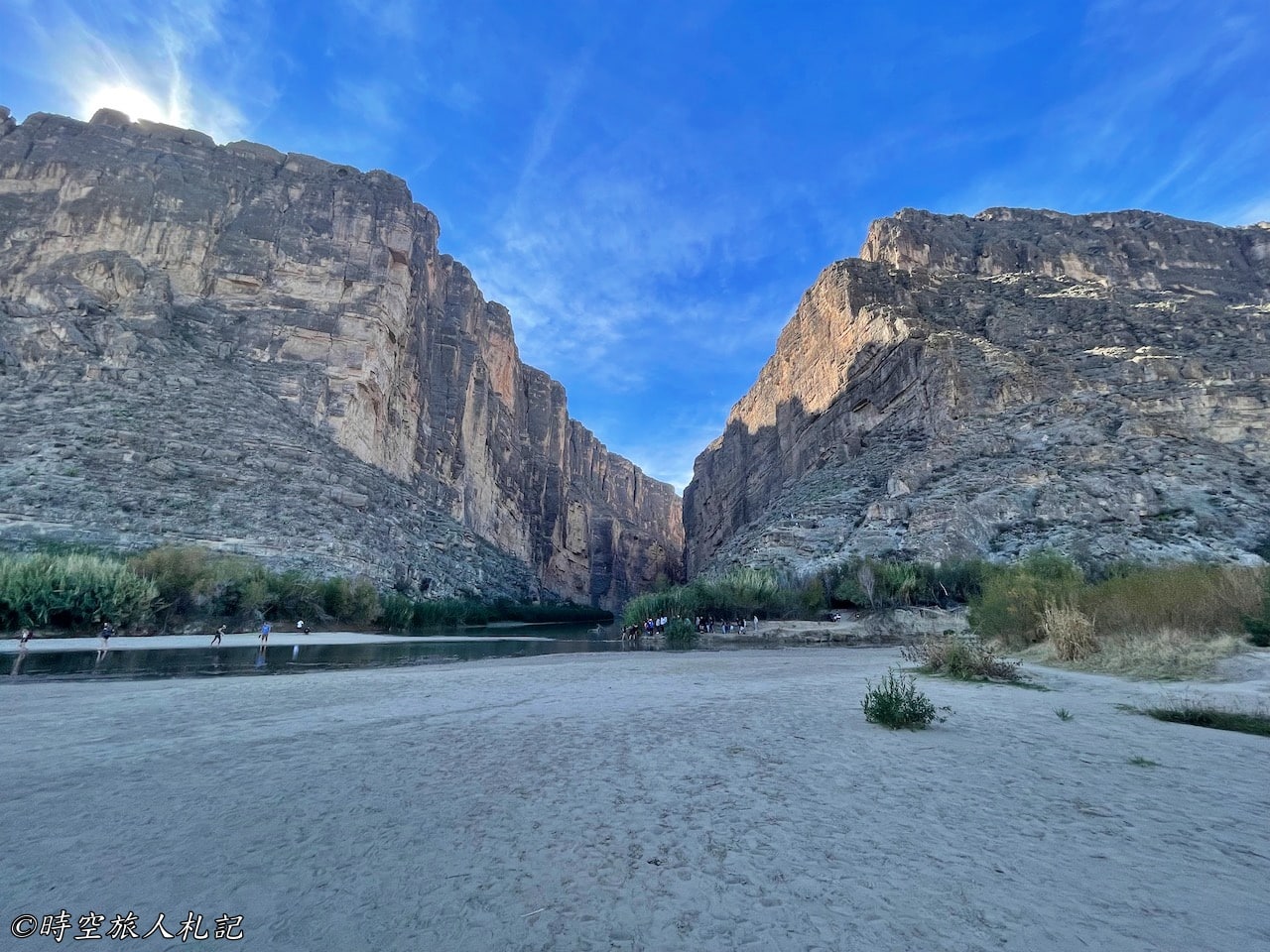
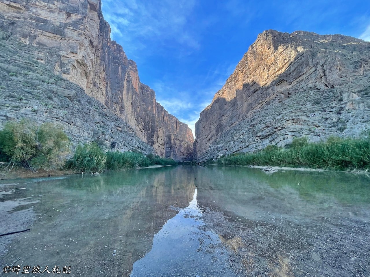
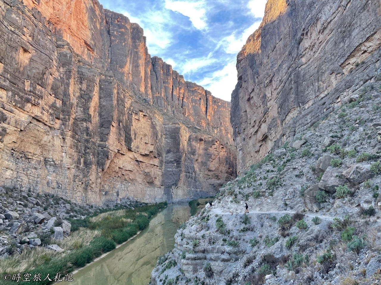
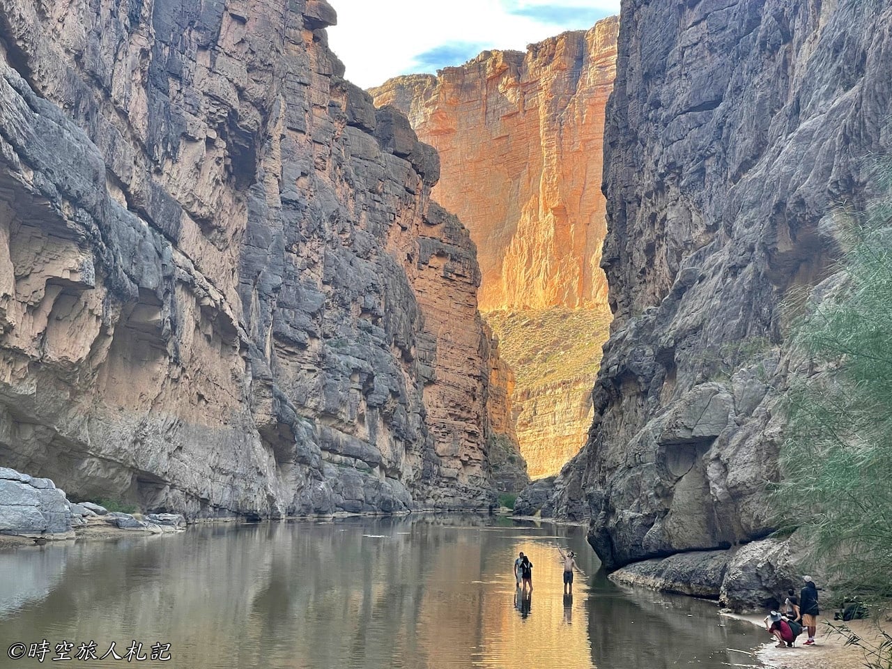
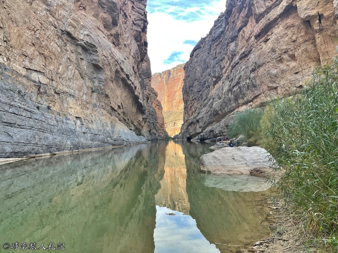
Santa Elena Canyon is the endpoint of the Maxwell Scenic Drive and one of the most significant highlights in the area. As you continue along the Maxwell Scenic Drive, approximately past Sotol Vista, you can catch sight of Santa Elena Canyon, a massive wall-like structure standing at the U.S.-Mexico border, with Mexico to the left and Texas to the right. It forms a spectacular natural boundary.
Access to the Santa Elena Canyon Trail can sometimes be limited due to parking constraints, and there may be regulations in place during peak times, requiring a one-in-one-out approach. During our visit, we only had to wait for about five minutes, but it might take longer during the busy season.
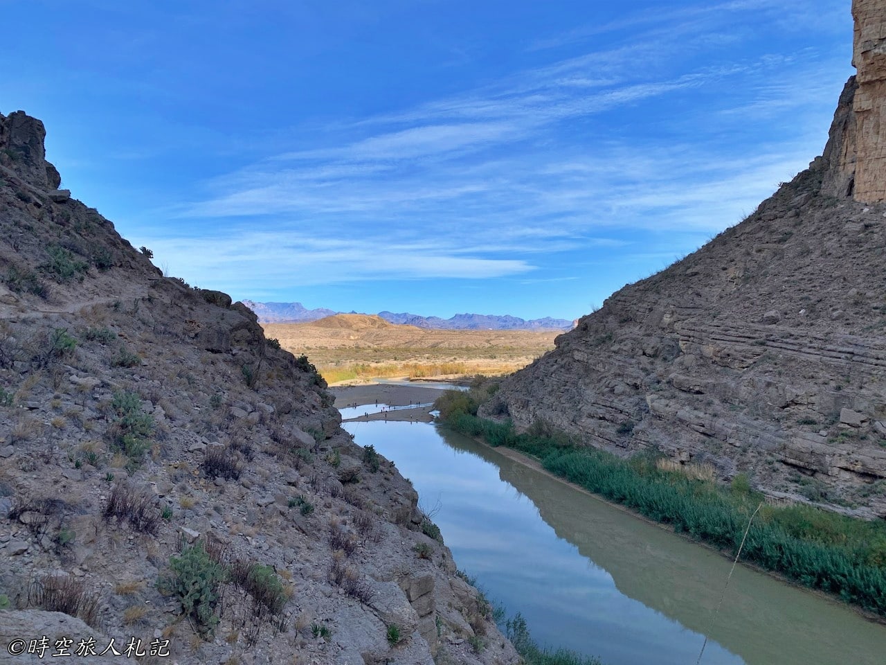
Before reaching the Santa Elena Canyon Trailhead, you'll pass by a viewpoint where you can see the entrance to the canyon. From this vantage point, you'll get a glimpse of the canyon's entrance, and shortly after, you'll be prepared to begin your ascent along the canyon's edge from this opening.
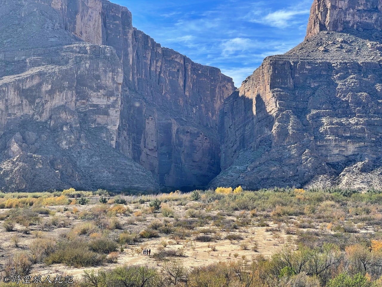
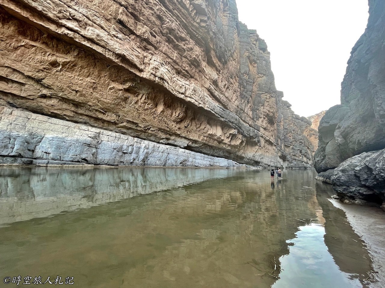
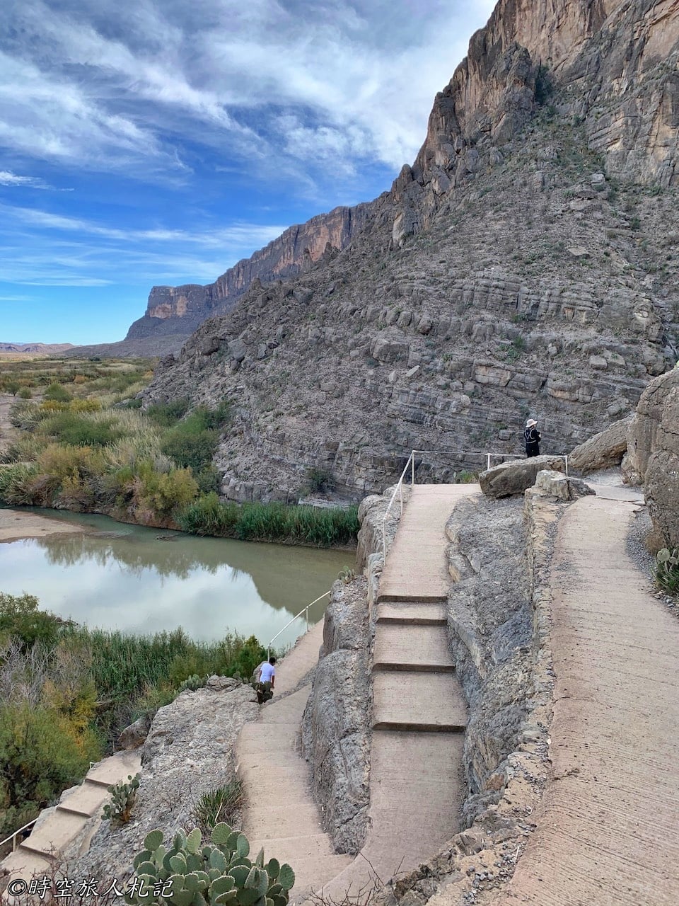
The trail is 1.7 miles round trip, and you need to cross the river on the way to the canyon, the rocks are a bit slippery, so it's best to bring hiking sandals that can go into the water (recommended).Hiking Sandals by KeenI felt like a brave man when I wore them.) We saw a lot of people struggling on the rocks with their shoes off, and they were tired before they even started climbing.
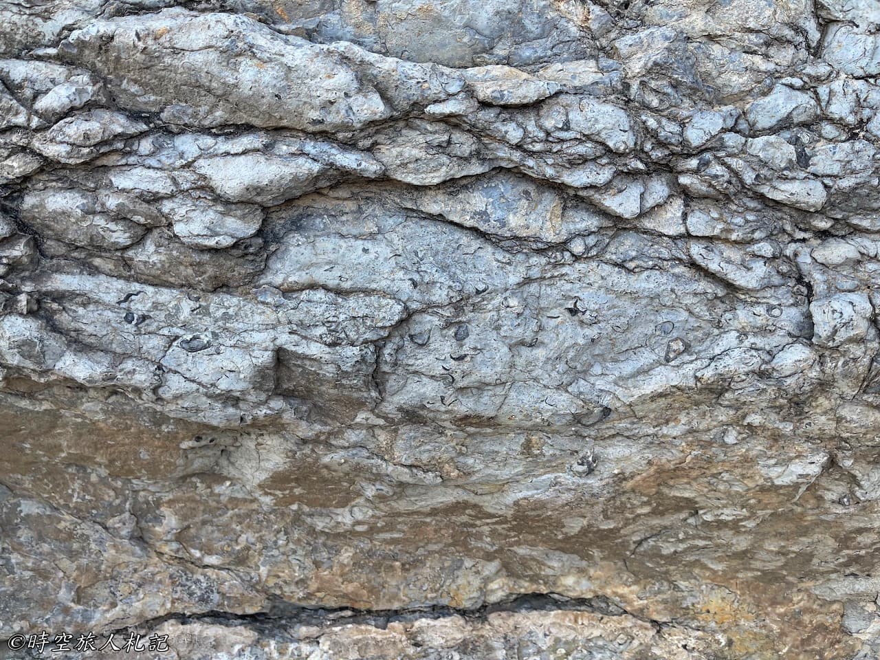
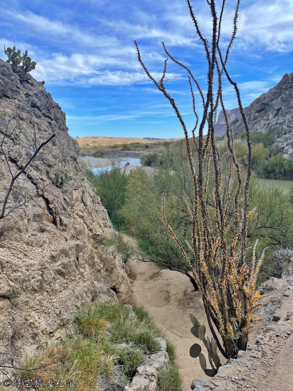
The scenery along the way is great, and I think this trail is probably the most beautiful in Big Bend National Park. After crossing the river, you have to go up, although the slope is not gentle, but there are stairs, so it is not too hard. On the way up, you can see fossils. In fact, in ancient times, this canyon used to be the bottom of the sea. Walking to the end, you can go down to the canyon, and finally you can touch the Rio Grande River.
Lower Burro Mesa Pouroff
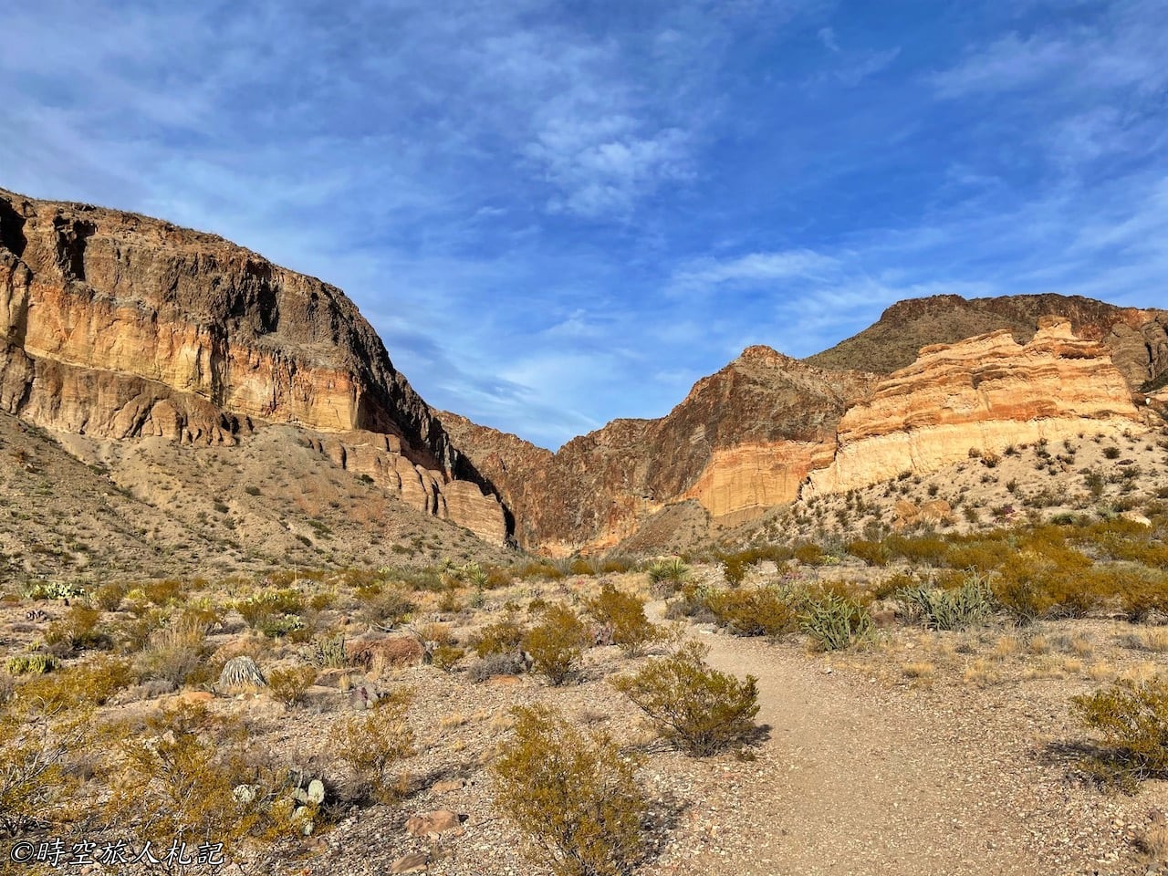
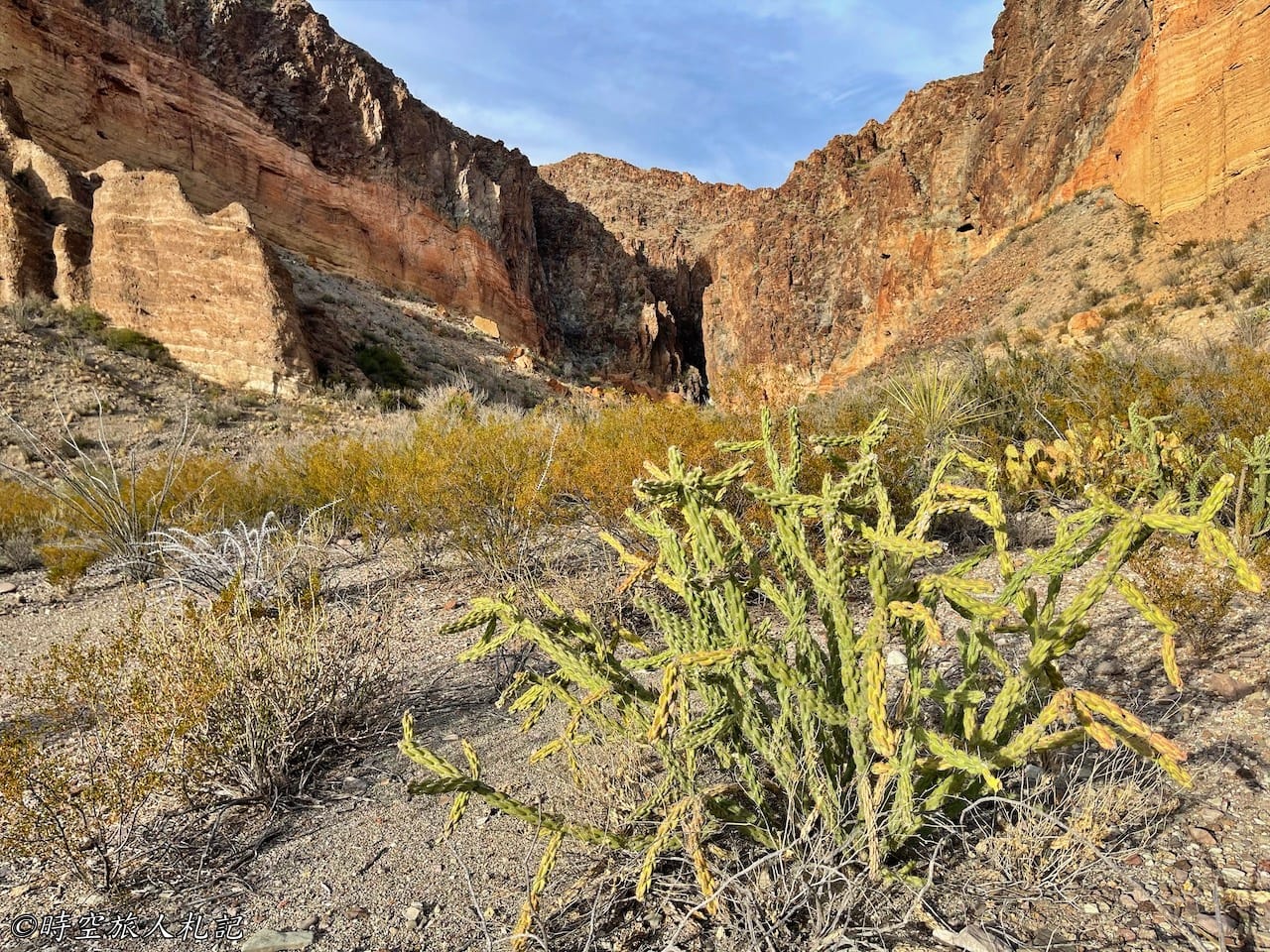
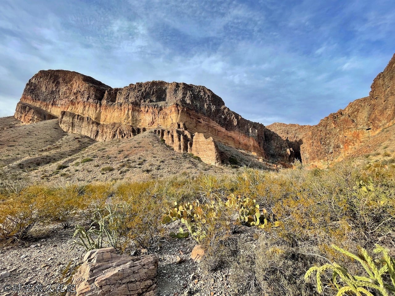
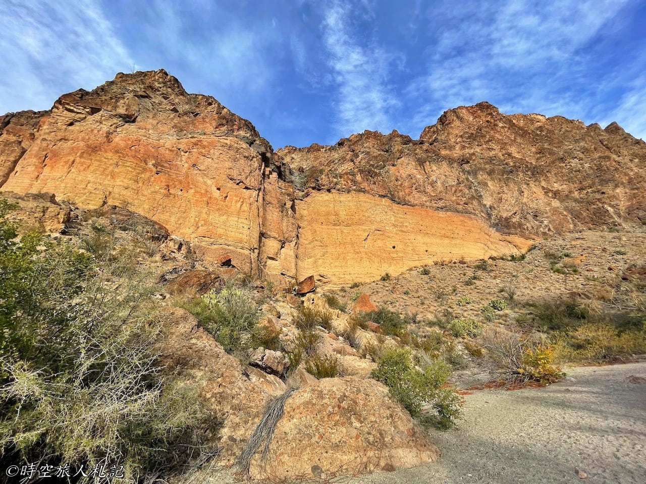
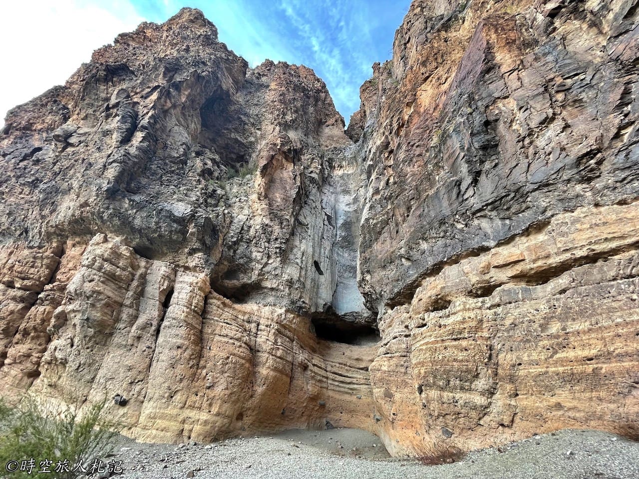
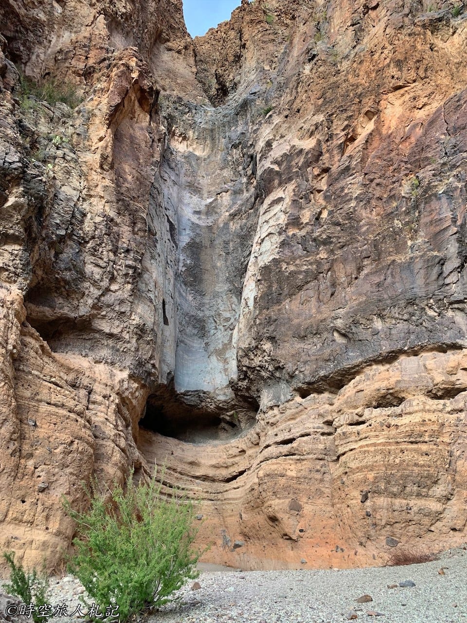
Lower Burro Mesa Pour-off is a very flat trail, measuring just 0.5 miles one way. You'll need to turn onto a small road from Scenic Drive to access the trailhead. This path will take you into the bottom of another section of Burro Mesa Canyon, surrounded by the impressive orange and yellow layered volcanic rock walls. The scenery is quite spectacular.
- Hotel search: Agoda
- Activities & tickets: KKday / Klook / TripAdvisor
- Travel credit cards (US only): My card picks + beginner tips
☕ Enjoying my travel notes?
You can Buy me a coffee to support what I do 🙌
Further reading
- Discover Big Bend National Park: A Thorough 3-Day Self-Drive Adventure Guide with Insights on Accommodation and Eateries
- Big Bend National Park: Exploring the Rio Grande Village Area
- Big Bend National Park: Exploring the Ross Maxwell Scenic Drive
- Big Bend National Park: Exploring the Chisos Basin Area
Check out more posts about Texas