Contents
Rio Grande Village Area at Big Bend National Park
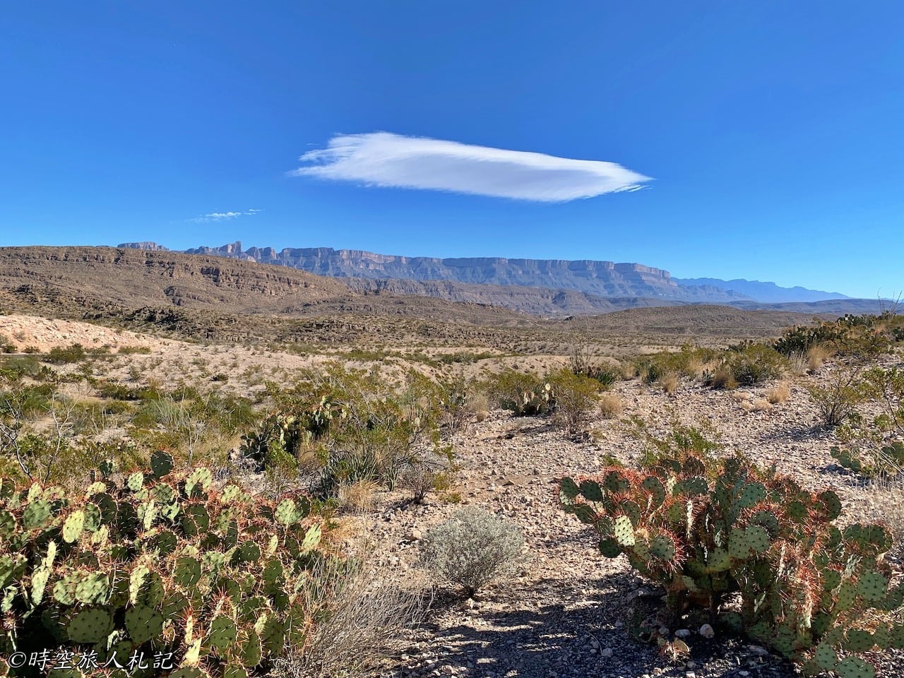
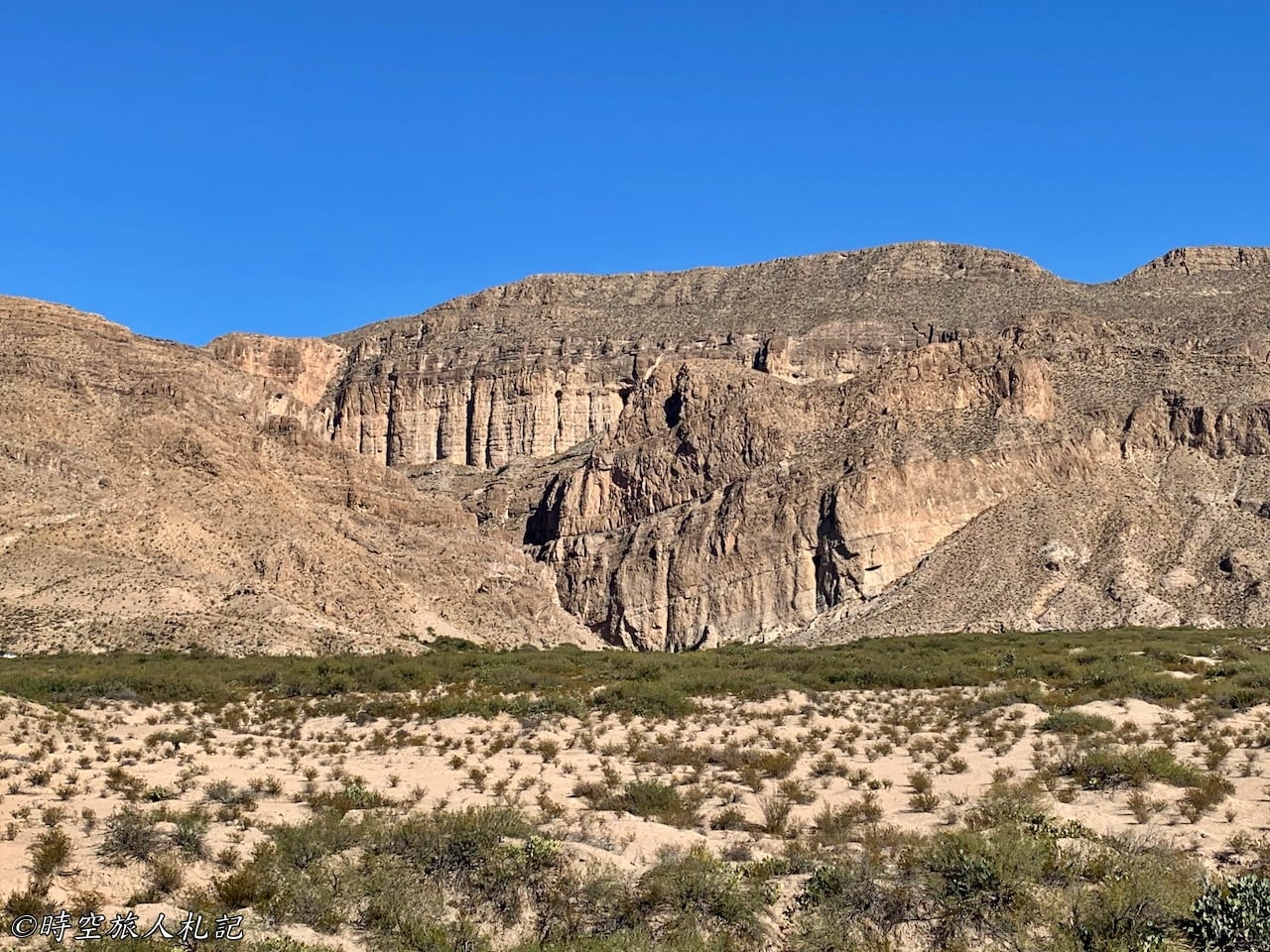
Big Bend National Park (Big Bend National Park) is located in the southwestern part of Texas. The park itself is roughly divided into three parts: east, central, and west, with Panther Junction serving as a dividing line. The eastern part refers to the area near Rio Grande Village. South of Panther Junction, traveling 20 miles along this route, you'll see the limestone Sierra del Carmens mountainscapes leading to the viewpoint area. The route in the Rio Grande Village area mainly follows along the Rio Grande River, passing by Hot Springs and Rio Grande Village, and finally ends at Boquilla Canyon Trail, a one-hour one-way drive through hot springs, rivers, and canyons.
The scenery in this area might sound similar to the Ross Maxwell Scenic Drive at first glance, and indeed, they are quite alike. Both lead to the US-Mexico border, feature historical areas, and end at canyons, since the entire park is oriented around this single river. However, here you can find hot springs reputed to cure all sorts of ailments, oasis-like farms, and it also offers the best views of the big bend of the Rio Grande River. In summary, after driving such a long distance to Big Bend National Park, you wouldn't want to miss this spot.
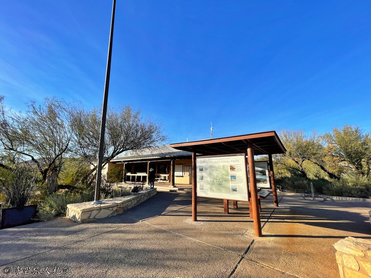
If you need to take a break midway, it's best to schedule a stop at Rio Grande Village. The Rio Grande Village Visitor Center is located just before entering the Village. There is also a campground in Rio Grande Village, so if you like camping, you can consider staying here for one night to make your itinerary much easier.
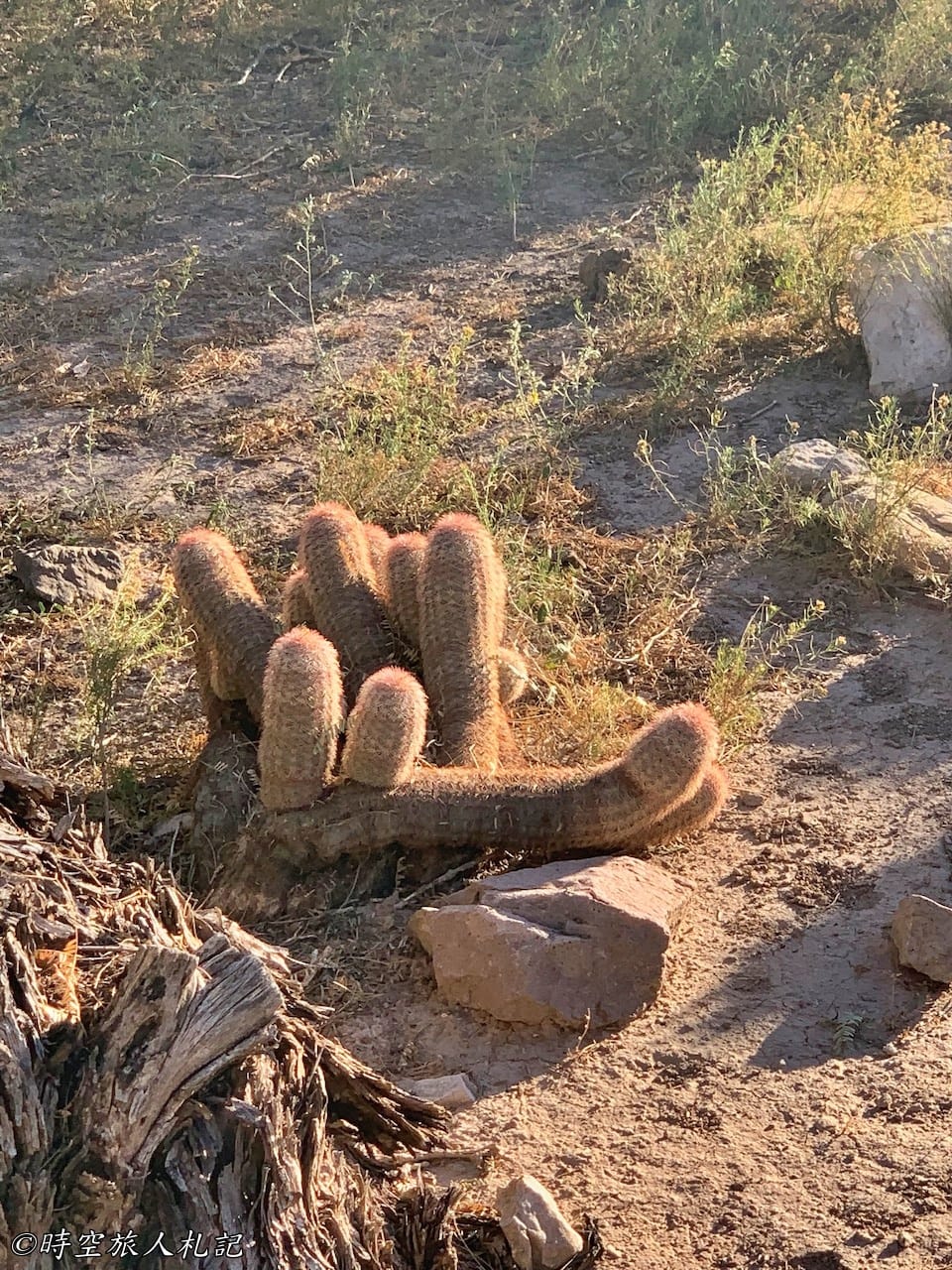
Trails and Attractions
Hot Springs Historic Trail
Hot Springs is one of the interesting highlights in this area. The best way to reach Hot Springs is by taking the Hot Springs Historic Trail, which passes by remnants of historic buildings and ancient Native American rock art along the way. It's a 0.5-mile walk to reach Hot Springs.
The trailhead is accessed by turning off Park Route 12 onto a branch called Hot Springs Road. Just before reaching the trailhead, there's a section of the road that's quite narrow and unpaved. The road conditions here aren't great, and the road itself is narrow. We were driving a small car, so while the road was narrow, it wasn't too difficult to navigate, but it was a bit challenging to drive through. However, we noticed that many people who rented larger cars found it uncomfortable to drive on this road, so they chose not to drive in and instead opted to walk, which might result in walking twice the distance.
From the Hot Springs Historic Trailhead, if you walk the entire trail east, you can go all the way to Daniel's Ranch, but that's 6 miles later, and in the Texas heat, most people choose to turn back when they reach Hot Springs.
The area that the trail passes through is called the Hot Springs Historic District. This area was established by a man named Langford in 1909. Langford had been in poor health since childhood after contracting malaria. When he heard rumors of a hot spring that could cure all ailments, he wasted no time and applied for the rights to develop this land. Without hesitation, he moved his family, including his pregnant wife and less than one-year-old child, on an 11-day journey to this remote location. They built their home on a small hill next to the parking lot where we are now, which overlooks the entire hot spring area. You can walk into his home from the parking lot and enjoy the decent scenery there.
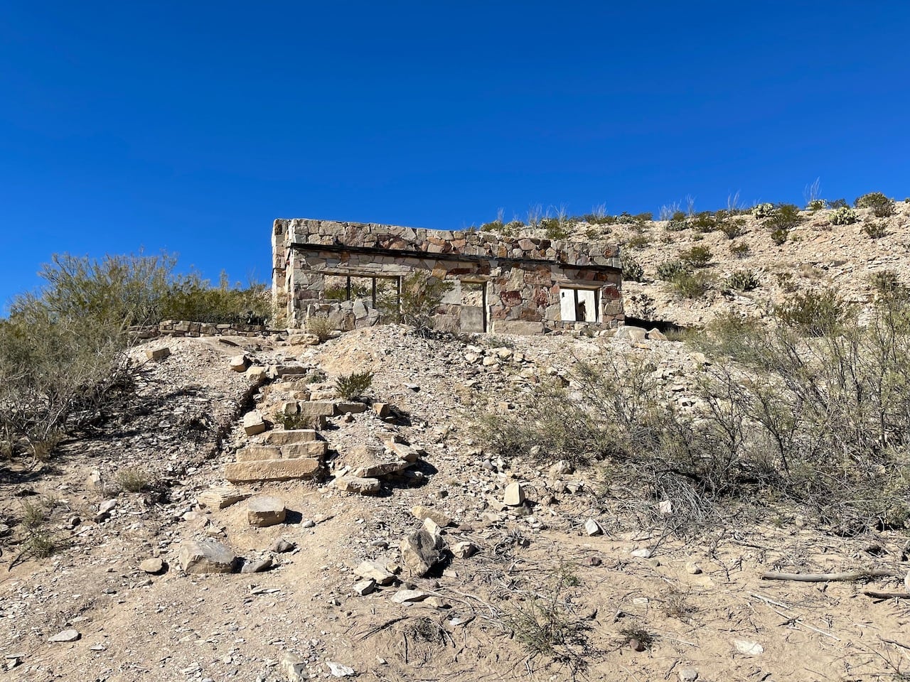
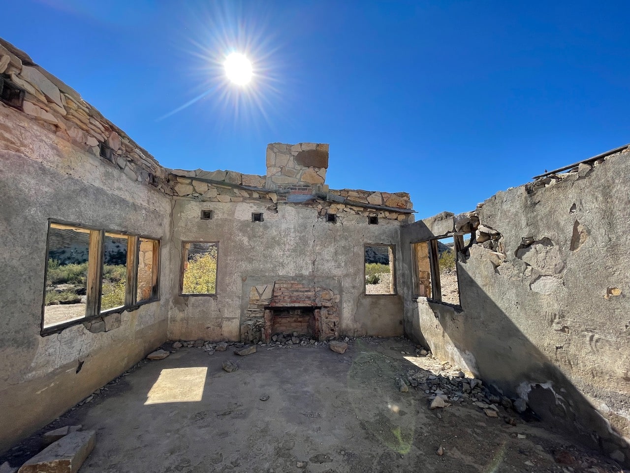
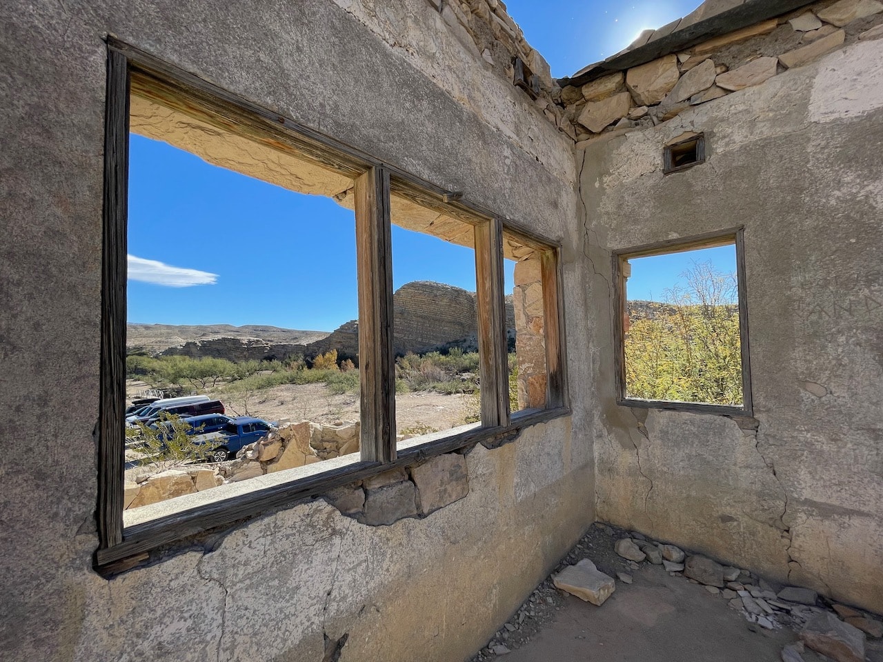
It is said that Langford himself recovered after soaking in the hot springs for 21 days. Following his recovery, he established a hot springs health resort village. Indeed, he successfully attracted many people to the area using the nearby hot springs. Around the 1920s, the business charged only 10 cents per day (which, when adjusted for inflation, is approximately $1.40 in today's currency). This fee was quite reasonable, considering the amenities offered, such as hotels, a post office, shops, and other buildings that still stand in the area today.
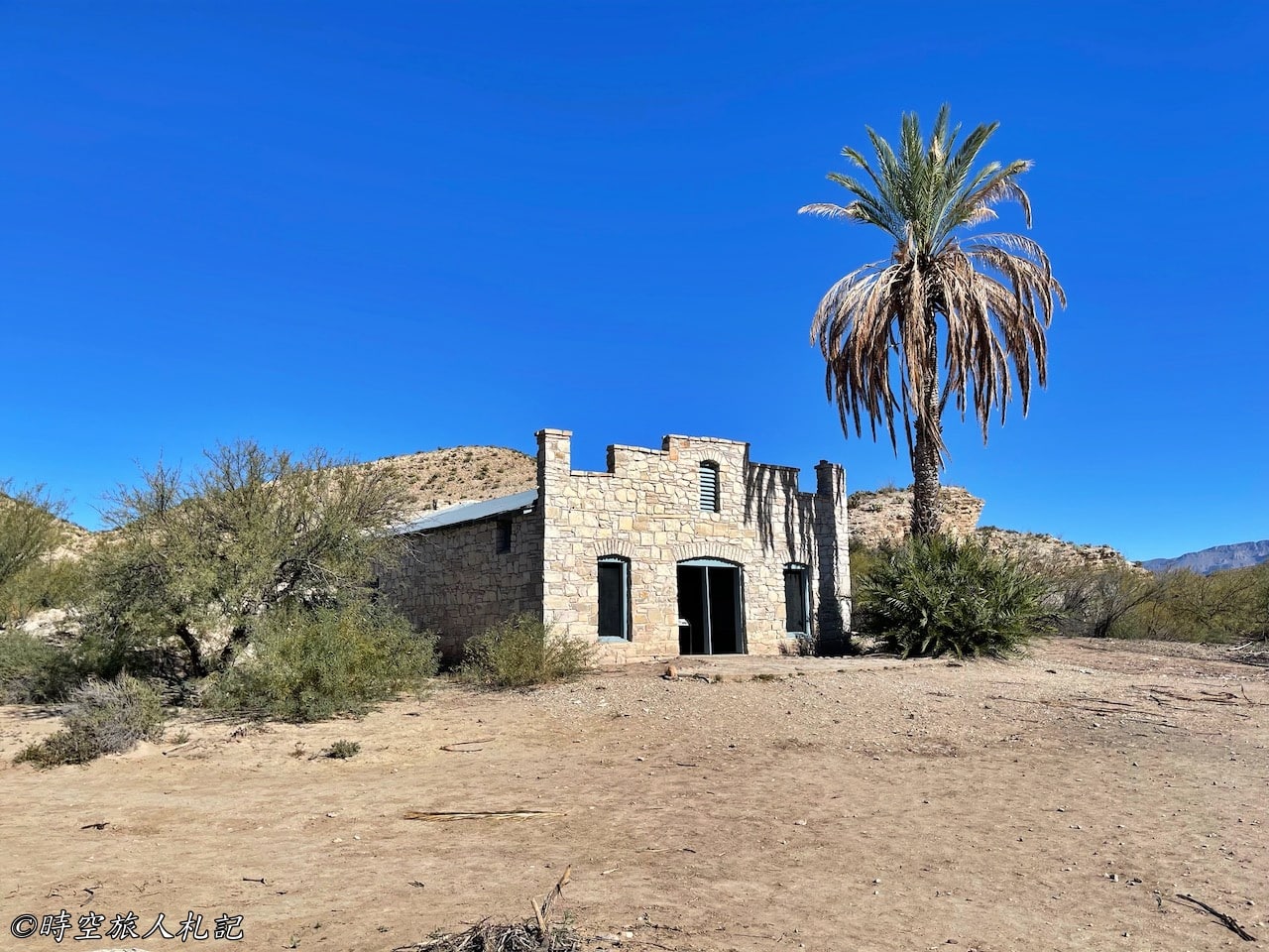
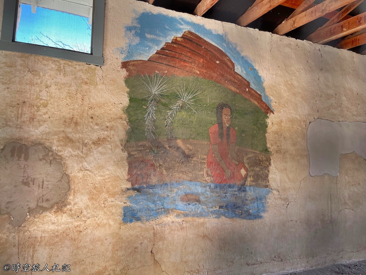
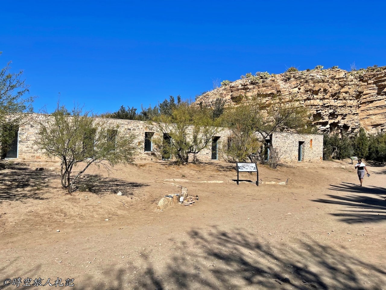
Although this area may appear desolate, it was actually inhabited thousands of years ago. At the midpoint of the trail, even earlier than Langford's time, Native Americans gathered here, leaving behind some rock art remnants.
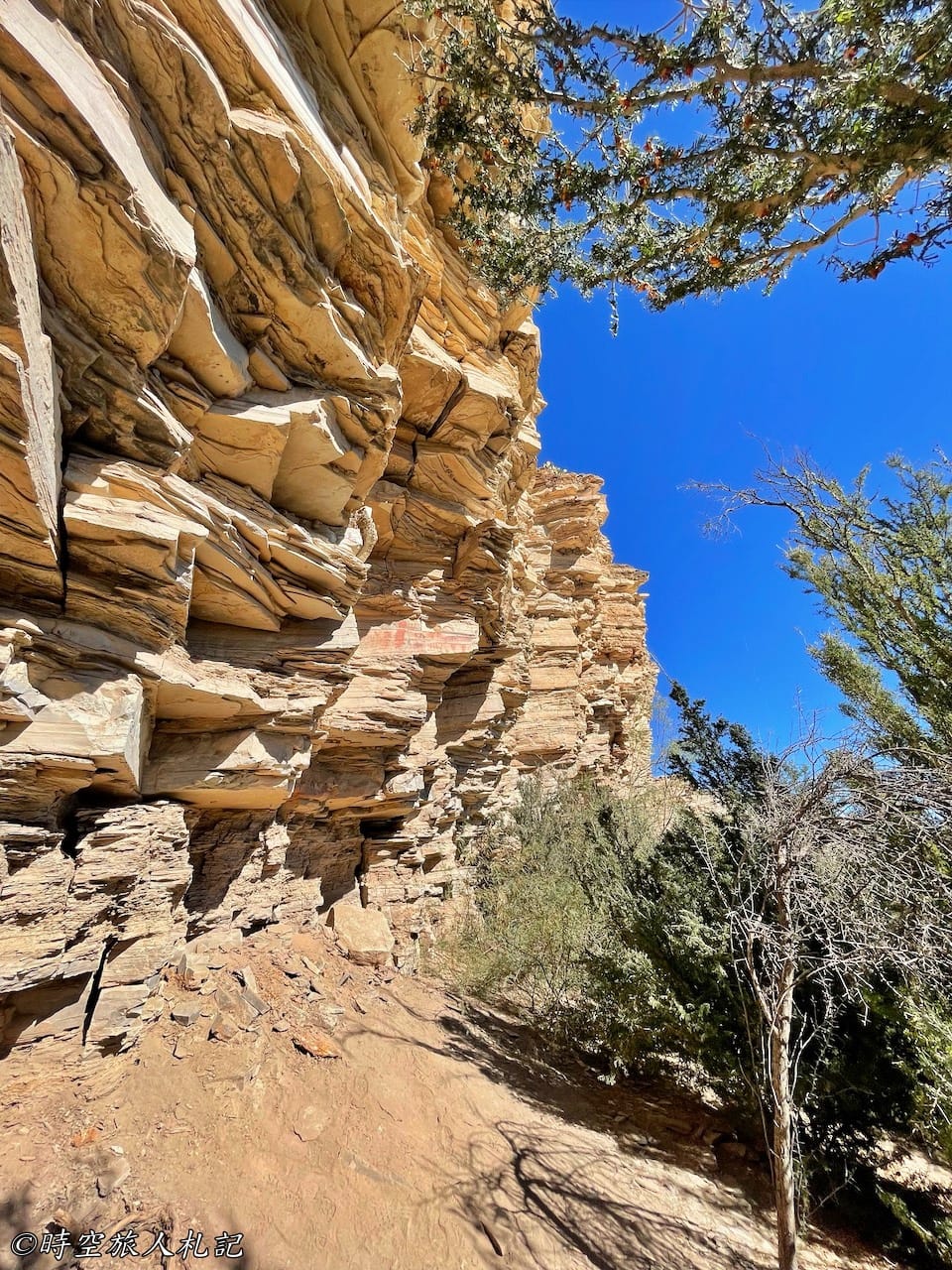
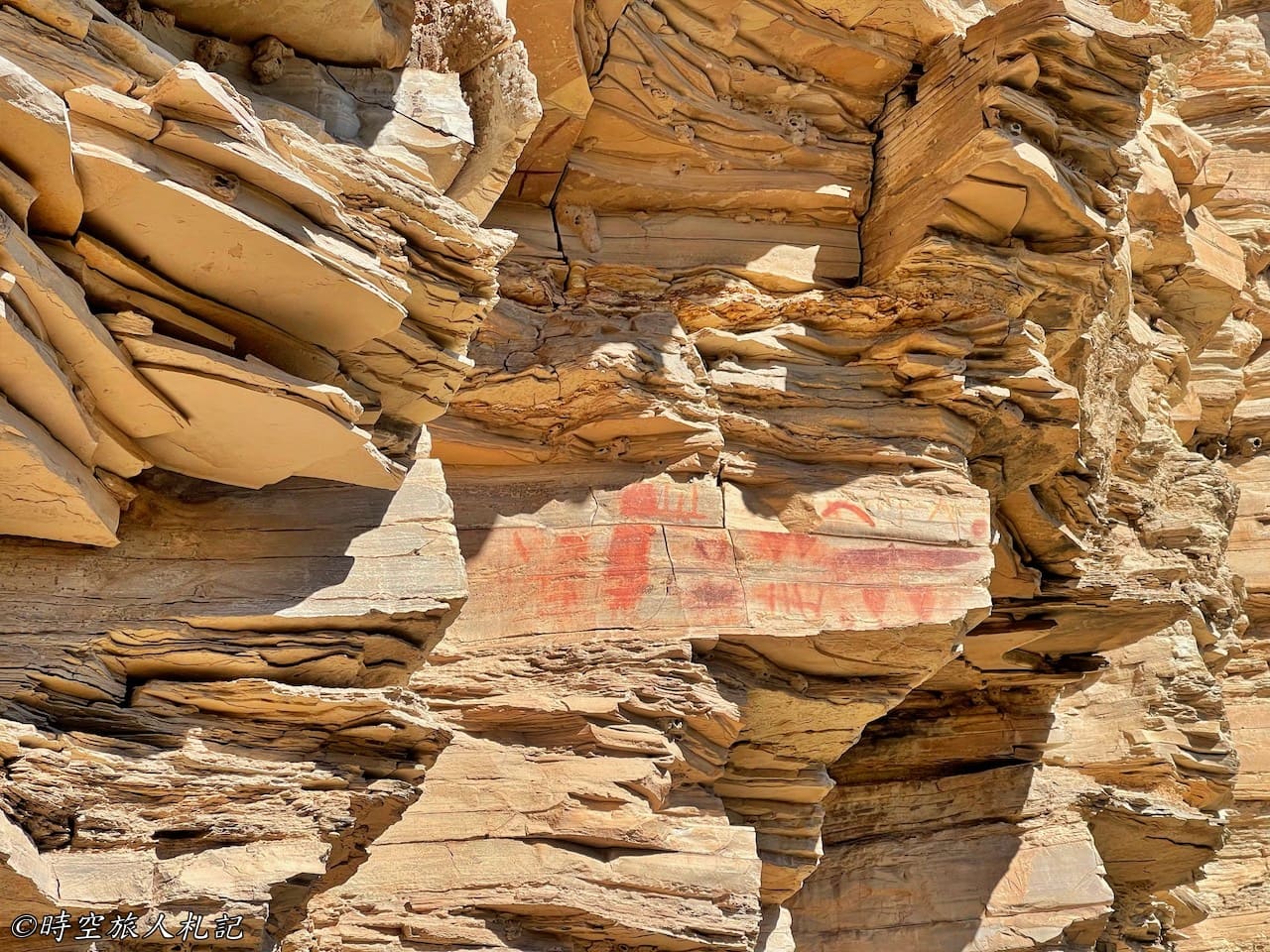
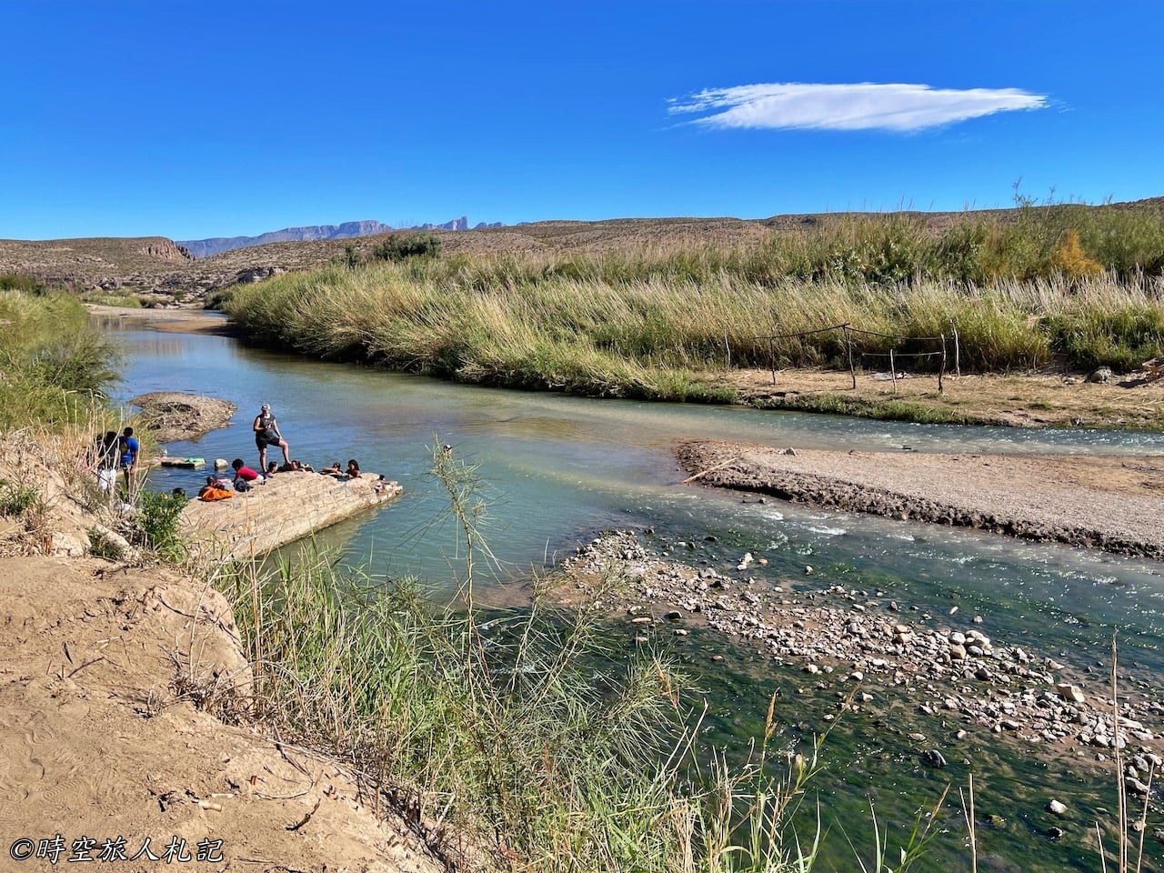
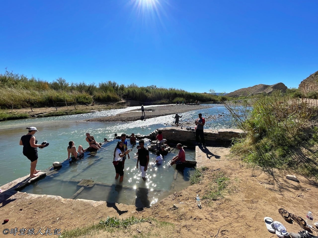
After walking 0.5 miles, we finally arrived at the hot spring reputed to cure all ailments, where we saw many visitors soaking in the water. The temperature of this hot spring is only 105 degrees Fahrenheit, which is essentially just warm water. However, considering the hot weather in the area, even warmer water would be difficult to bear.
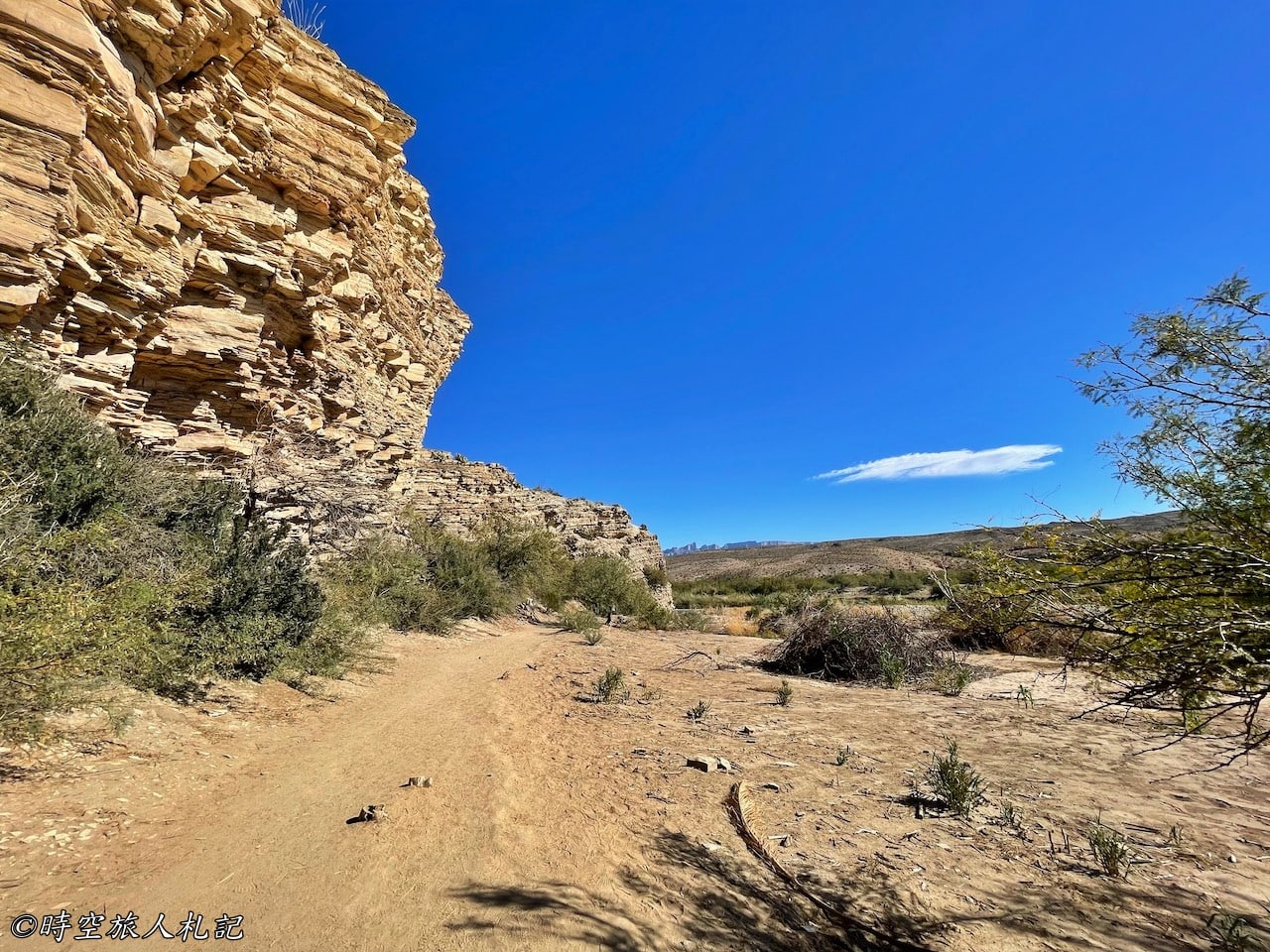
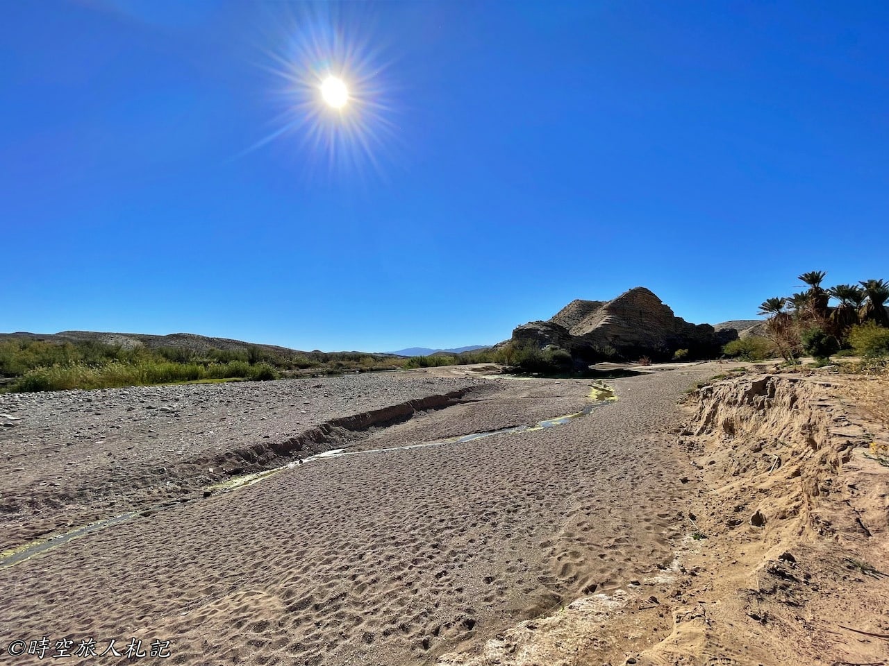
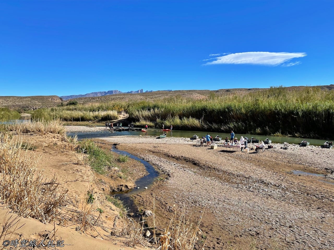
Daniel's Ranch
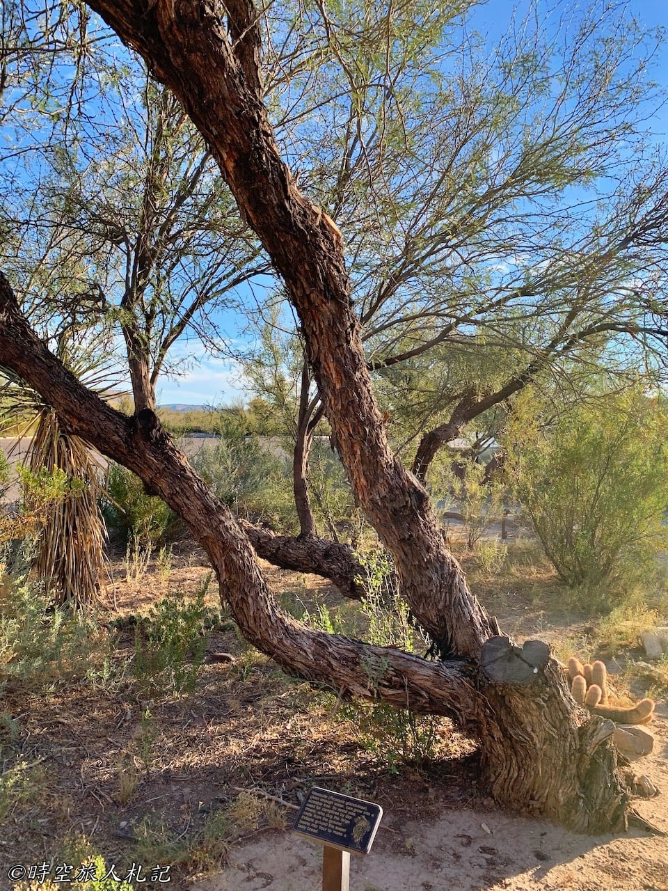
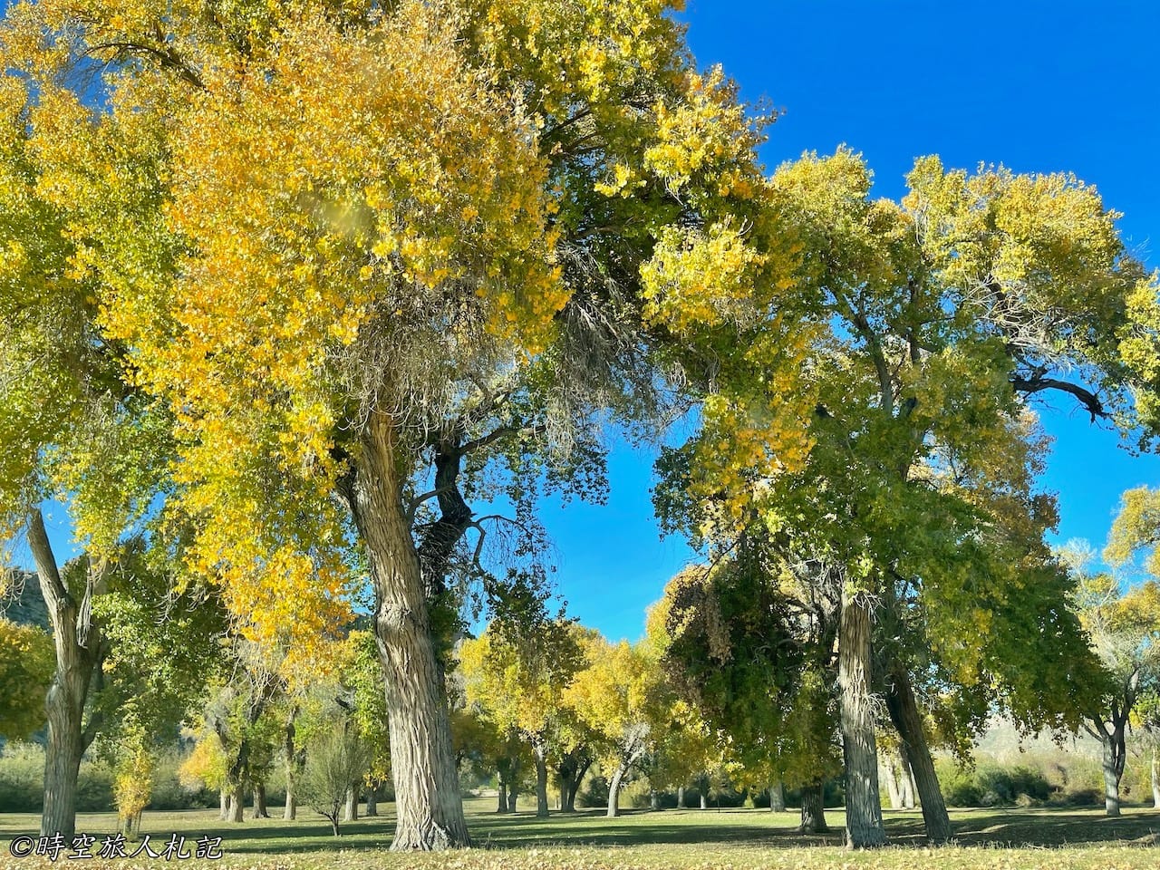
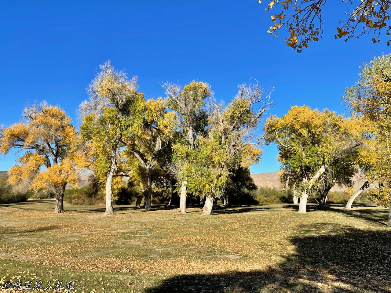
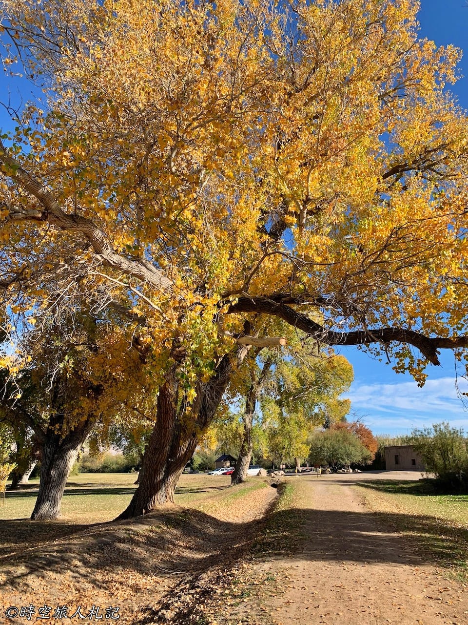
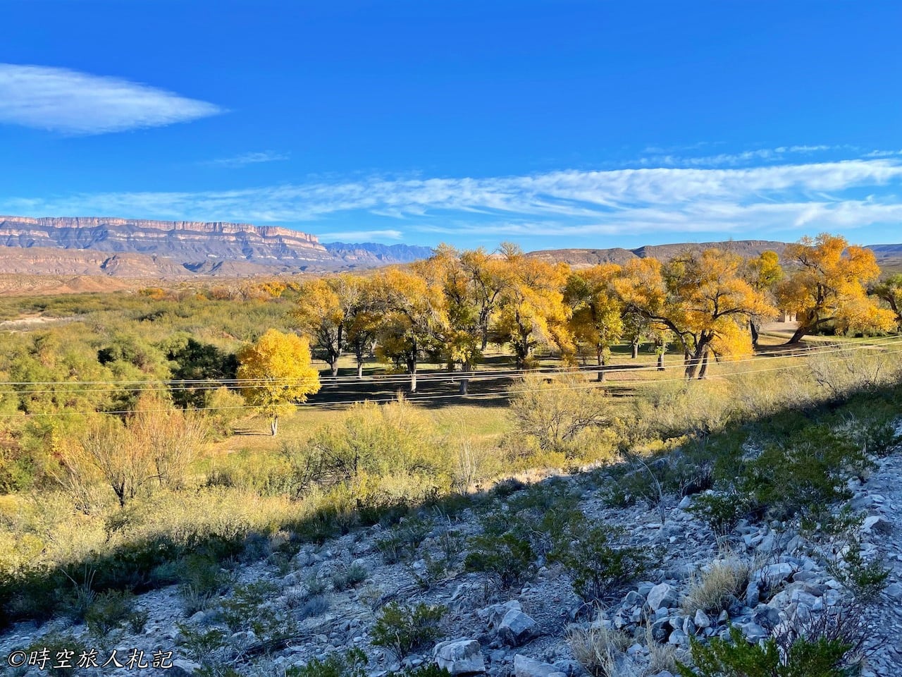
Daniel's ranch in Rio Grande Village is a special place, not only because it is a relic from the early 20th century, but also because of the shade. It was 88 degrees Fahrenheit that day, and here we see fall colors, and the trees were planted in the early 1900's by people who came here to dig complete canals to bring in water for irrigation, and although no one has grown crops here since 1940, the aspen trees have survived and become an oasis in the middle of the desert.
Hot Spring Canyon Trail
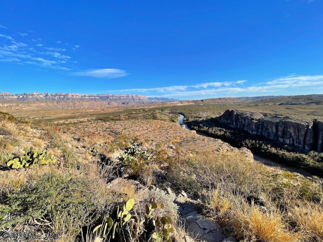
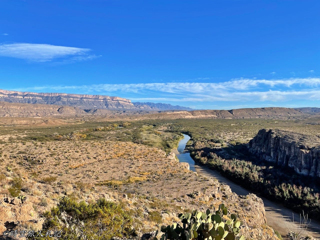
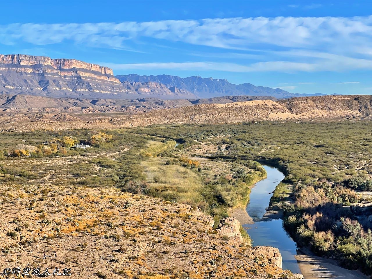
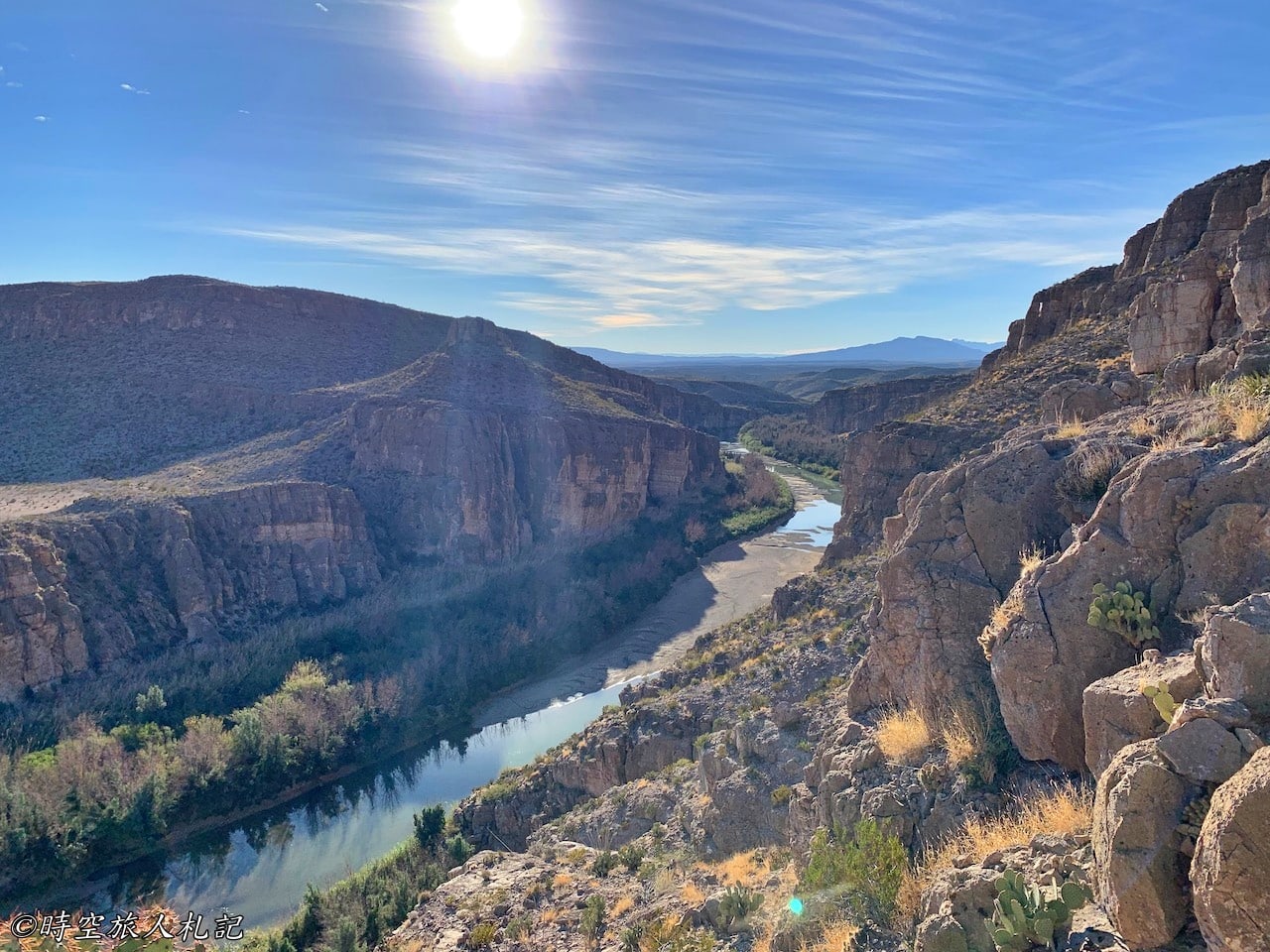
The entrance of Hot Springs Canyon Trail is right next to Daniel's Ranch, and this is one of the trails that I think must be climbed. Remember, you can walk all the way to Daniel's Ranch from the Hot Springs side? This is the entrance to the other side. From here, you will be climbing up the cliffs. Although the difficulty is only moderate, it is really hot here, there are warning signs at the entrance of the trail, saying don't come here after 10am, this is the hottest place in the park, and it will be dangerous if you are exposed to the sun for too long.
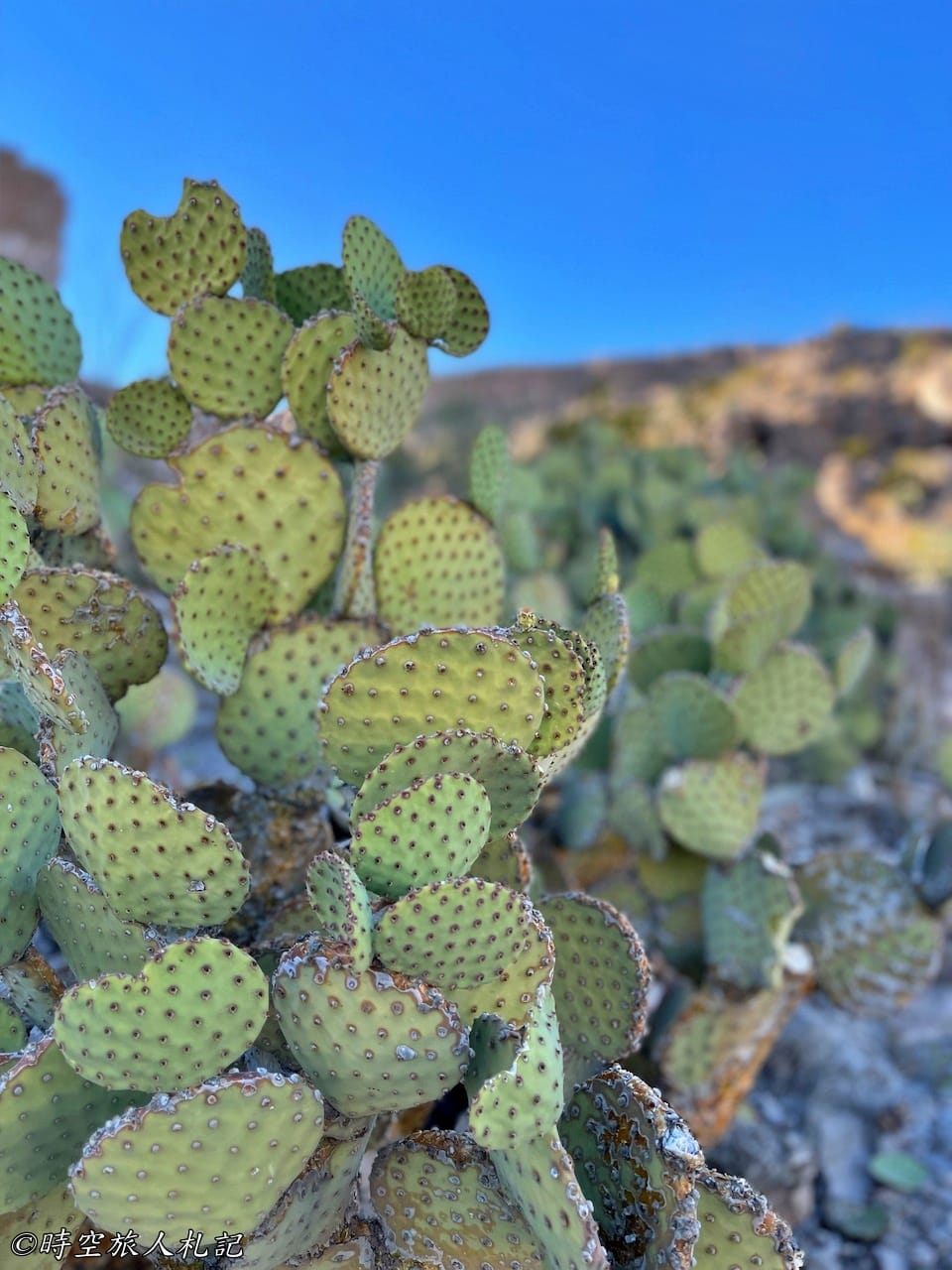
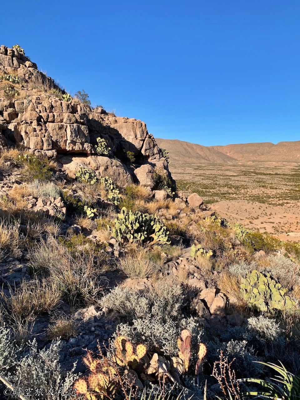
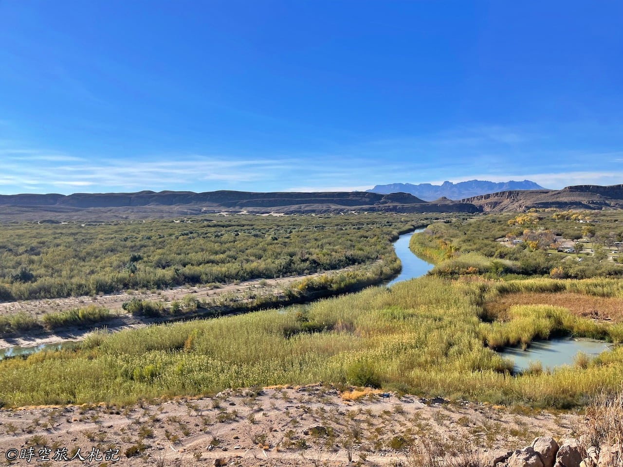
This trail allows you to reach a fantastic spot to view the Rio Grande River within 1 mile. After a challenging climb up the cliff, we finally reached a location where we could see the much-anticipated Big Bend. Although the trail signs pointed towards the Rio Grande Overlook, we weren't entirely sure if this was it. Nevertheless, we found ourselves on a platform with excellent views, perched atop the cliff. Many people say they visit Big Bend National Park without knowing where exactly the Big Bend is. Standing on this cliff, we realized that this is probably what they were referring to—the Big Bend of the Rio Grande River.

Rio Grande Village Nature Trail
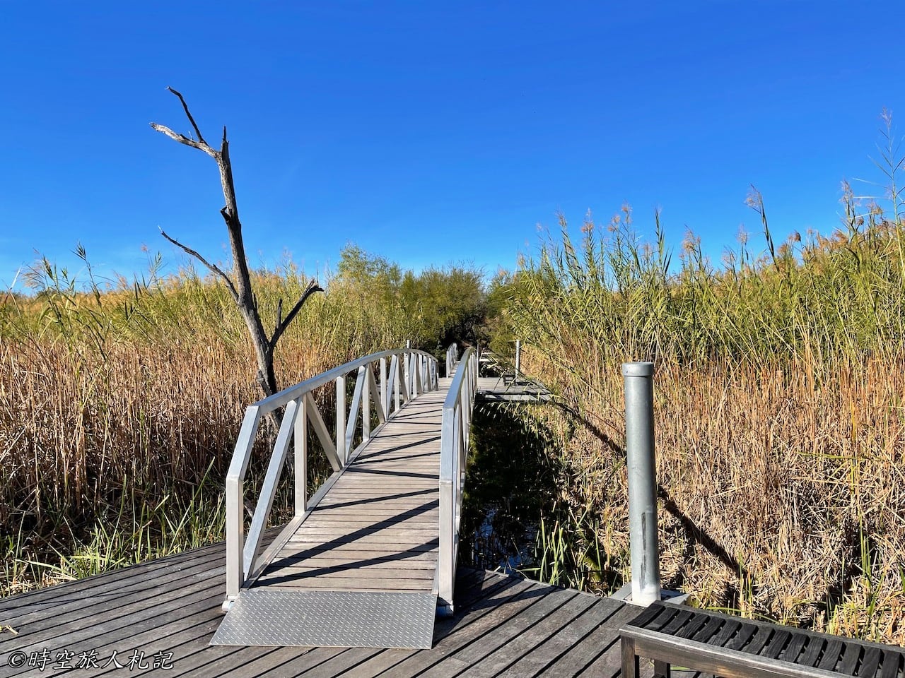
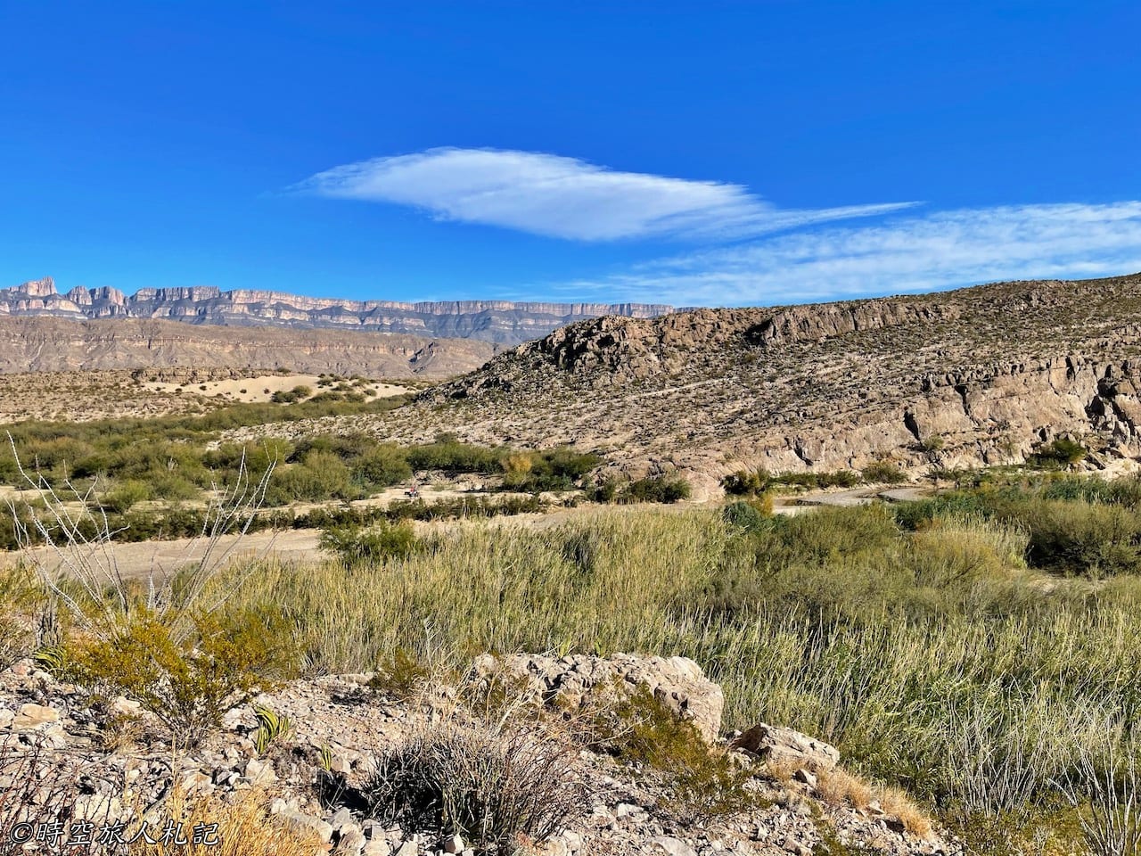
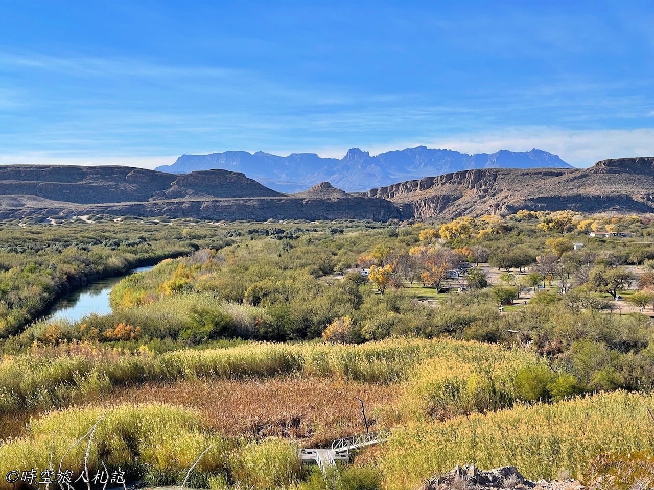
The Rio Grande Village Nature Trail is located next to the Rio Grande campground, and we parked our car near the campground entrance to access it. The trail spans 0.75 miles in total. It begins with a walk through wetlands and ends with a climb to the overlook atop a small hill, offering a 360-degree view of the Rio Grande River.
Boquillas Canyon Trail
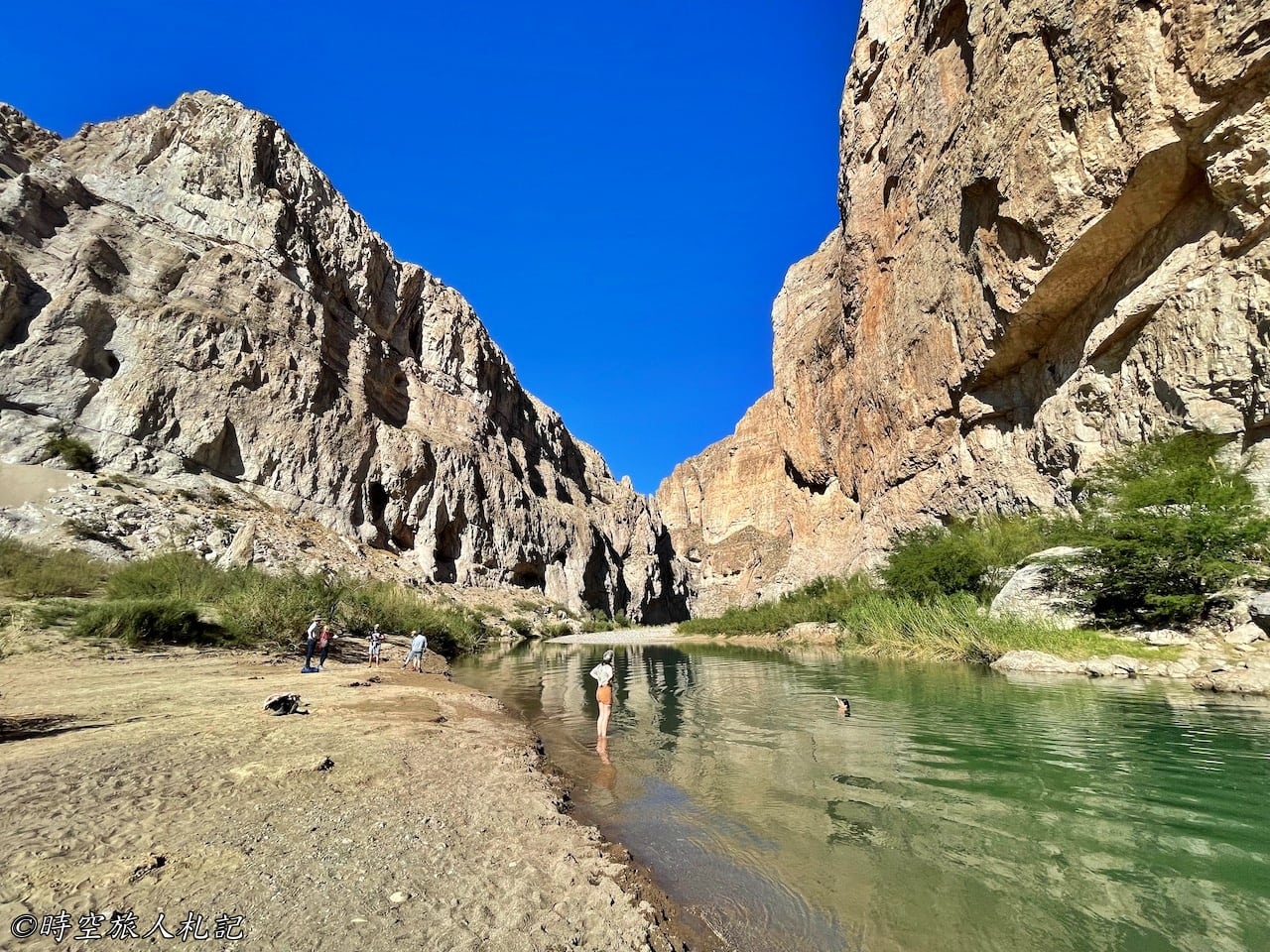
Boquillas Canyon marks the end of this trail. If you choose to hike, the main objective is to venture into the canyon. Before reaching the trailhead, you can park at the Boquillas Canyon Overlook and admire the Rio Grande River. From this viewpoint, you can see a small river bend, with Mexico on the opposite bank. Starting from here, we encountered people from Mexico selling goods along the trail. At this viewpoint, vendors have set up stalls with merchandise at every photo opportunity spot.
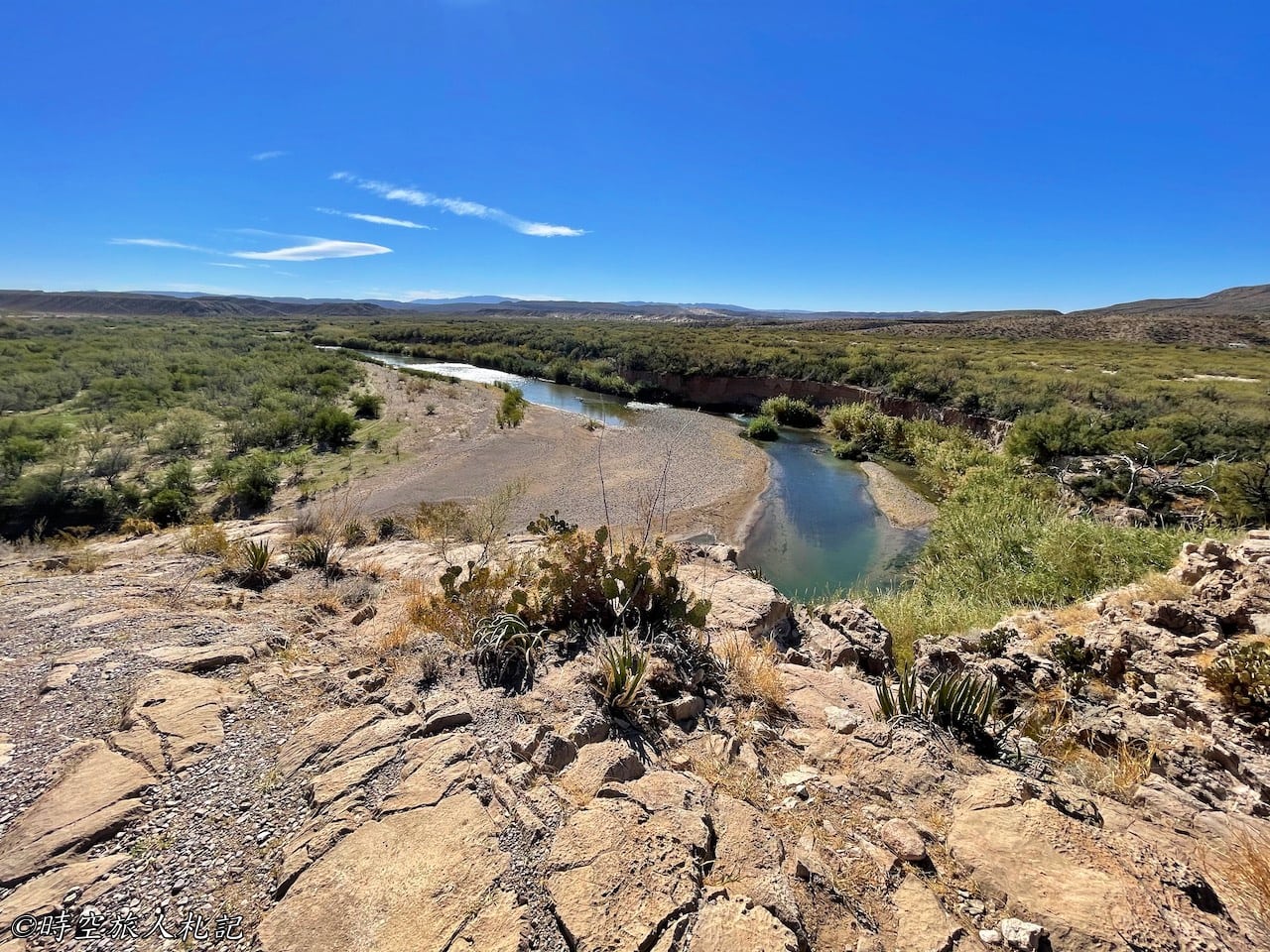
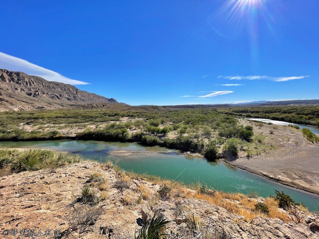
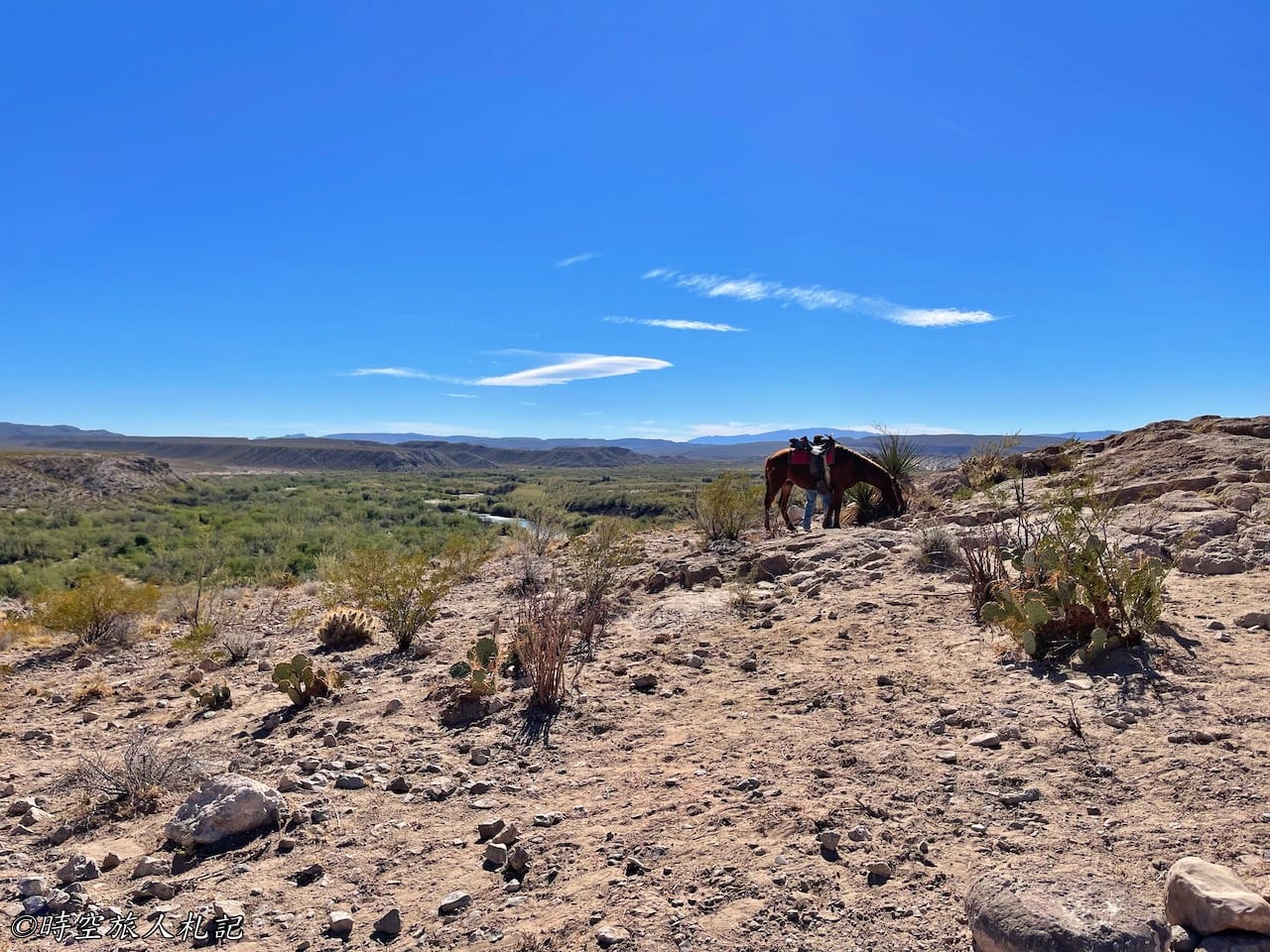
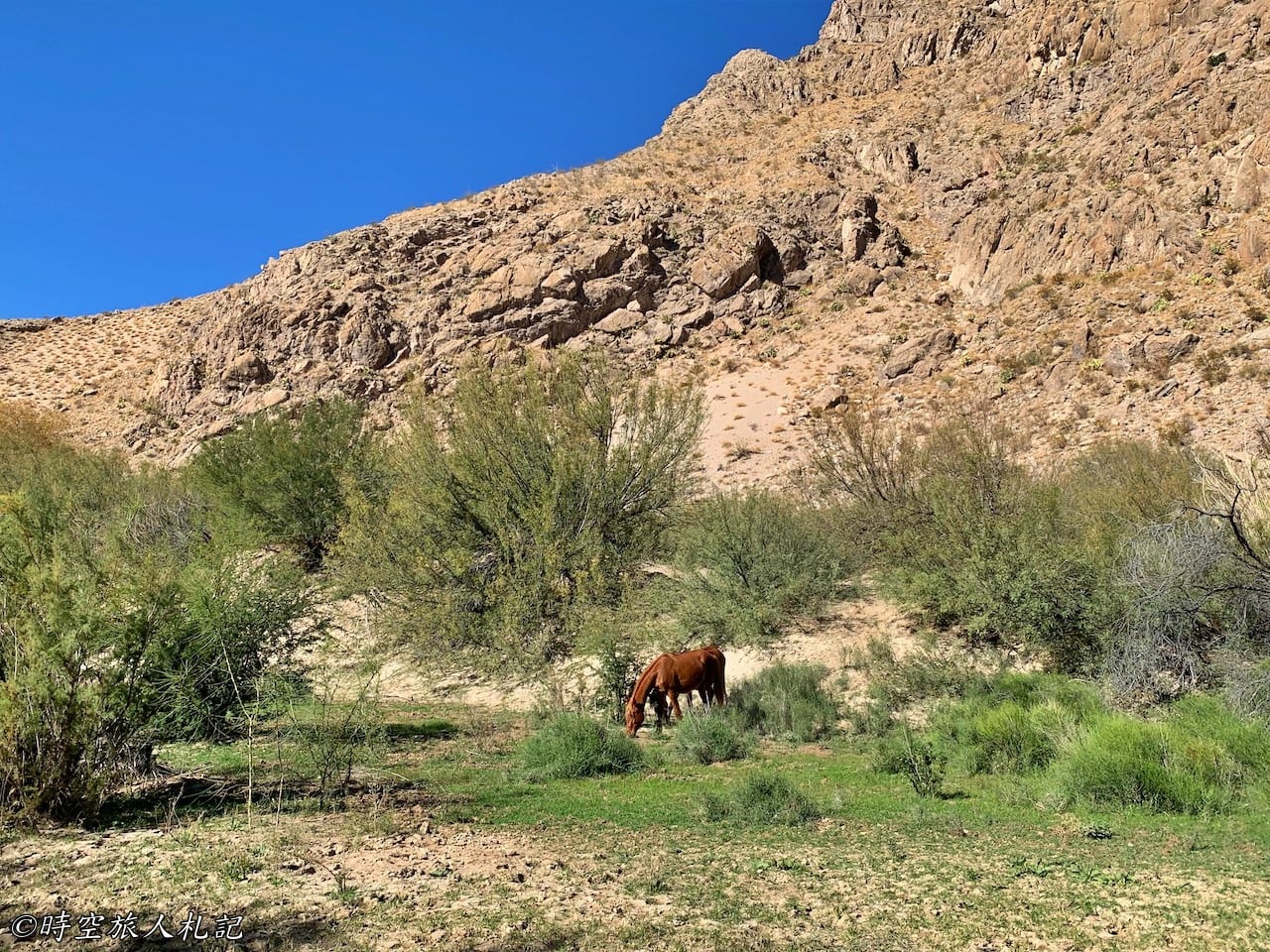
Boquillas Canyon is the longest and deepest canyon within Big Bend National Park, with its deepest part reaching 7,000 feet, deeper than the Grand Canyon. The 1.4 miles round-trip trail allows for an easy walk to the edge of the canyon, and along the way, there are quite a few vendors with horses crossing the river, selling snacks and souvenirs. The endpoint is by the river, and this area seems more suitable for water play compared to Santa Elena Canyon. You can walk a bit further along the edge of the canyon, but it requires using both hands and feet.
- Hotel search: Agoda
- Activities & tickets: KKday / Klook / TripAdvisor
- Travel credit cards (US only): My card picks + beginner tips
☕ Enjoying my travel notes?
You can Buy me a coffee to support what I do 🙌
Further reading
- Discover Big Bend National Park: A Thorough 3-Day Self-Drive Adventure Guide with Insights on Accommodation and Eateries
- Big Bend National Park: Exploring the Rio Grande Village Area
- Big Bend National Park: Exploring the Ross Maxwell Scenic Drive
- Big Bend National Park: Exploring the Chisos Basin Area
Check out more posts about Texas