Contents
Lassen volcanic national park (2 days)
Lassen Volcanic National Park (Lassen volcanic national park is located in the northern part of California, about four hours drive from San Francisco. The main attraction of this national park is the volcanic and geothermal landscapes, which are much more interesting than those of theYosemiteIt is not as famous as these famous national parks, and there are not as many tourists, but it is actually a very special and interesting national park. In addition to the geothermal landscapes and various volcanic terrains like Sulphor works that are just along the roadside, there are also beautiful scenic spots such as Emerald lake and Summit lake that are easy to get close to.
Lassen itself is an interesting national park, so a two-day weekend is a healthy schedule and not too much of a rush. Our two-day itinerary is as follows.
- Day 1: Enter from the southwest entrance, pass by Sulphor works, Emerald lake and several other major attractions, drive to the northwest exit, climb Lassen peak trail, Devastated area in the afternoon.
- Day 2: Mainly hiking around Devil's kitchen, then driving home.
Visitor Centers and Museums
Kohm Yah-Man-Nee Visitor Center
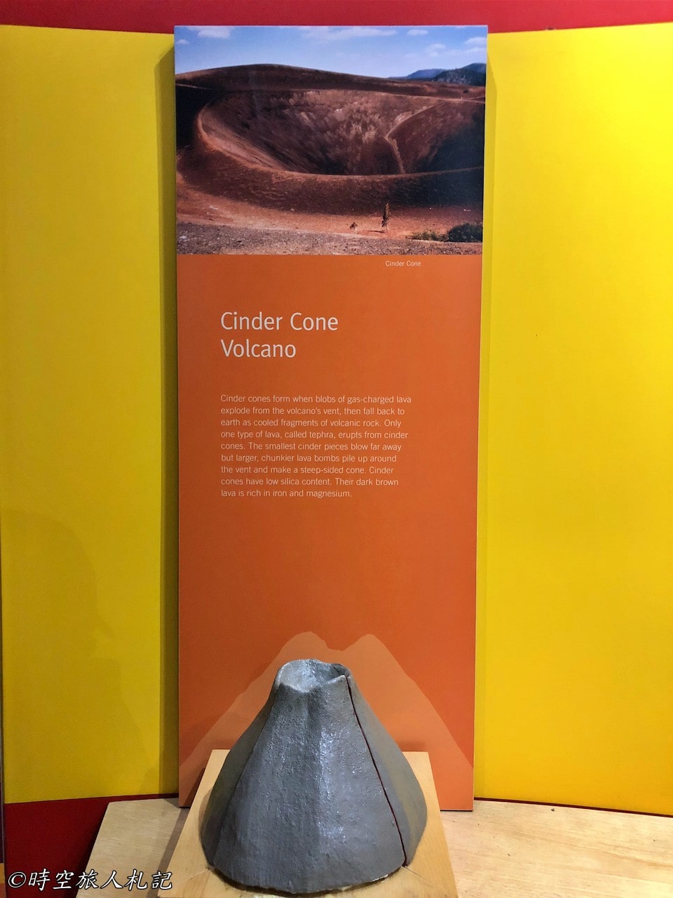
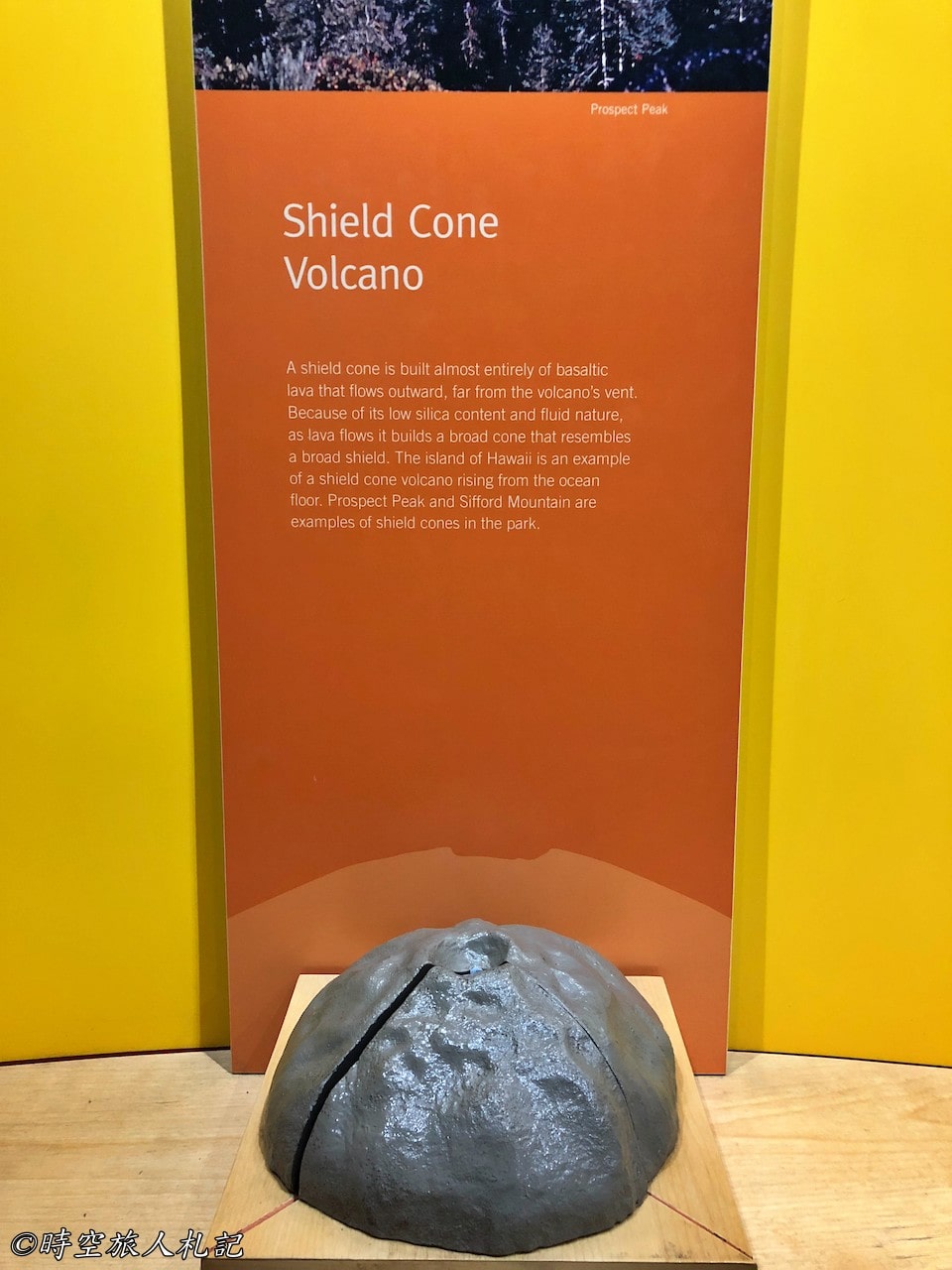
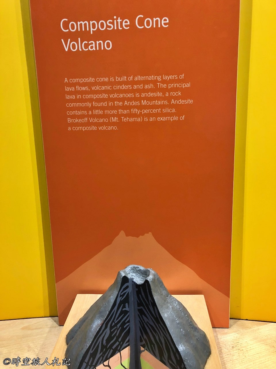
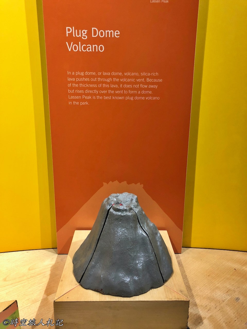
As soon as you enter the park from the southwestern entrance, you will come to the Kohm Yah-Mah-Nee Visitor Center, where you are recommended to visit and familiarize yourself with the different types of volcano terrains. There are four types of volcanic terrain, namely Cinder Cone, Shield Cone, Composite Cone and Plug Dome.
Take the small trail behind the Visitor Center and you can see several craters.
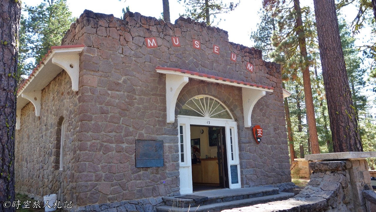
Loomis museum
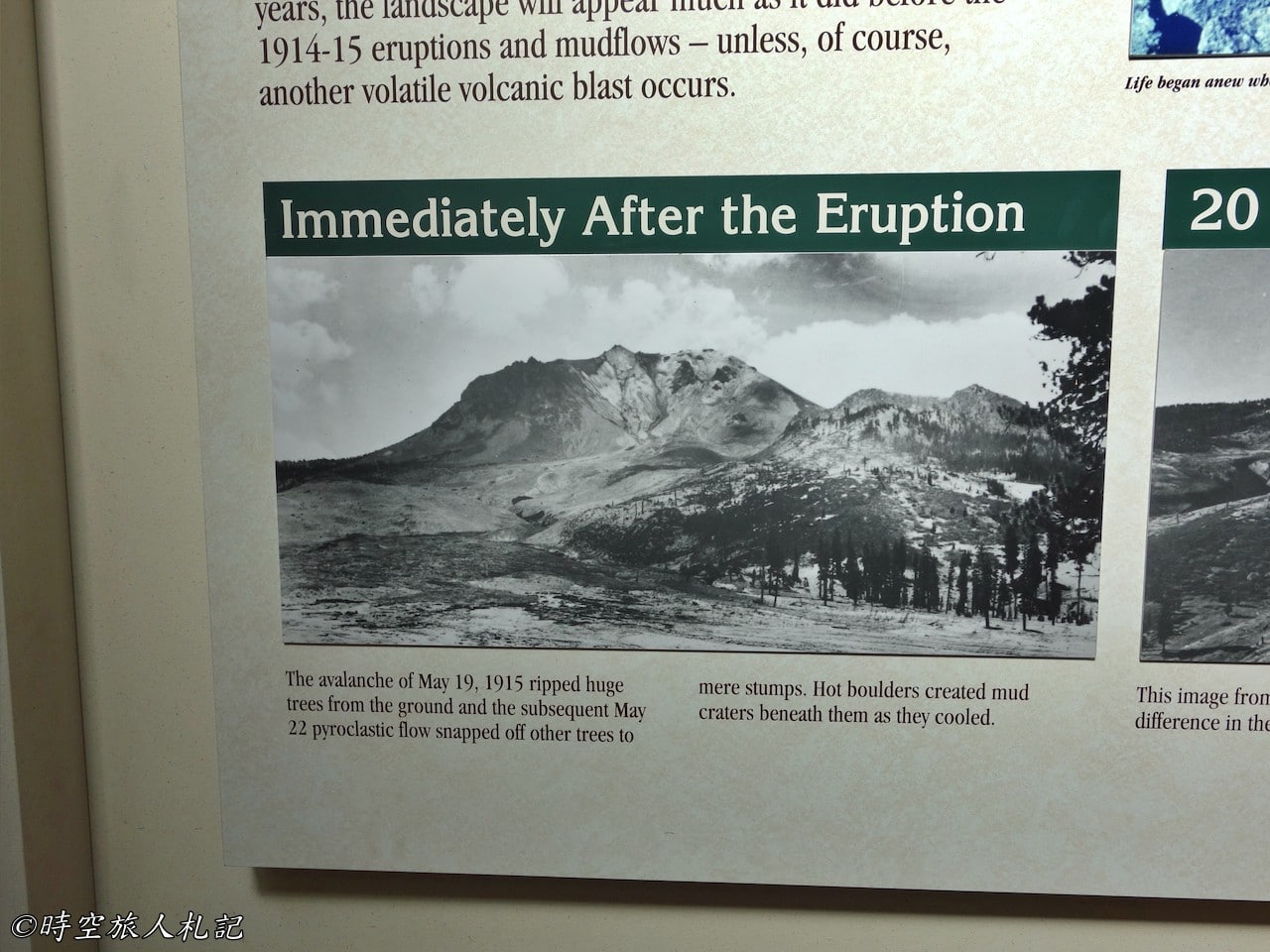
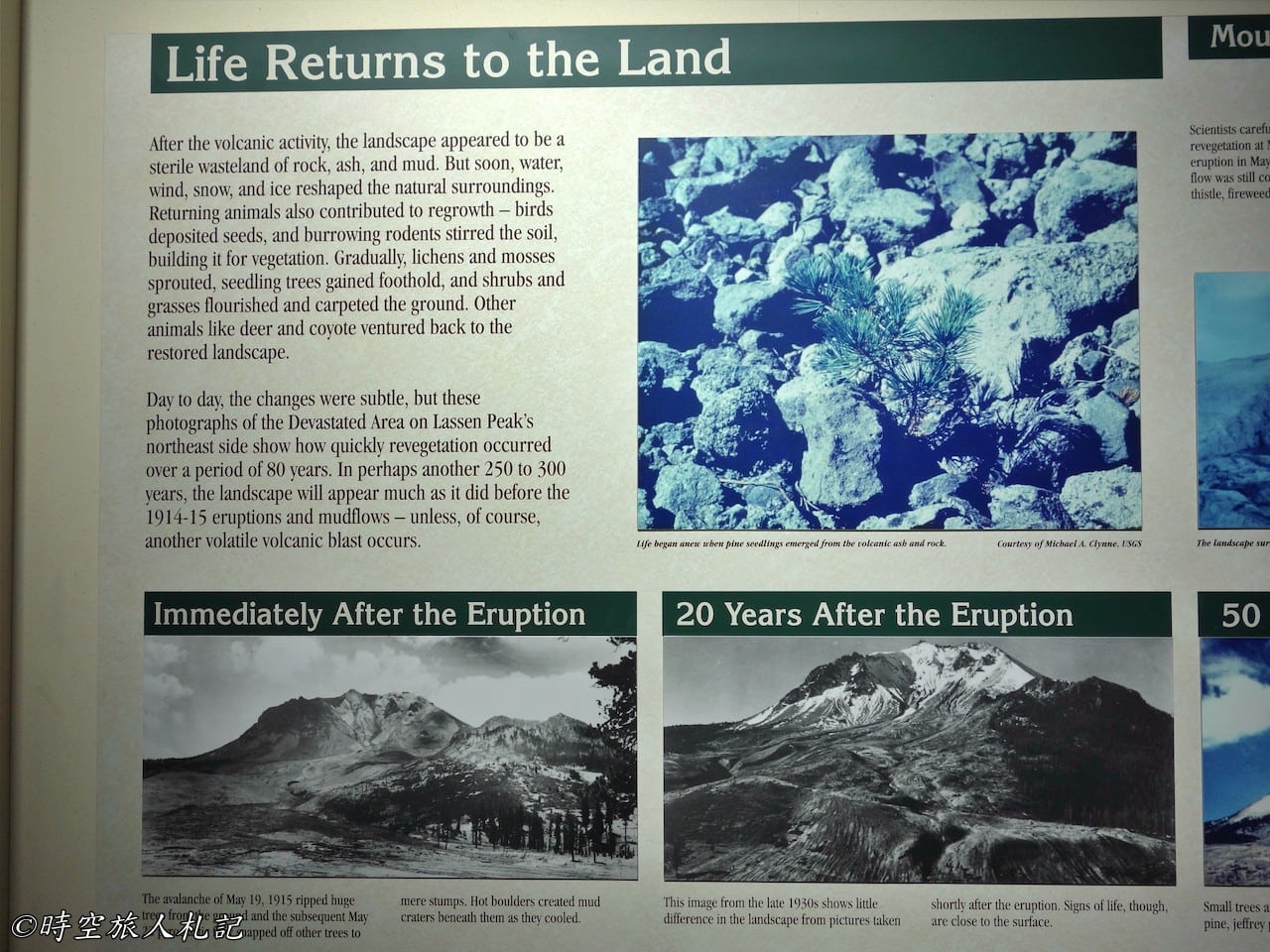
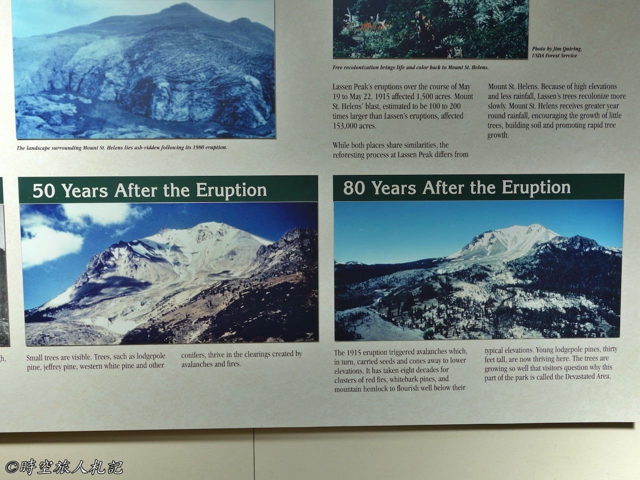
The Loomis museum is located at the northwest entrance of the park and is a must-see for its wealth of information. In addition to introducing the various types of volcanoes, a must-see is Loomis's precious photos of the 1915 eruption, a businessman who was in the devastated area just before the eruption in 1914, and was so impressed by the scenery that he took several photos of the eruption, including the rolling rocks. The volcano actually erupted a few hours after the group left. Loomis has been documenting the changes in the years since the eruption by taking photographs of the area.
Loomis lived in a cabin on Manzanita lake next to the museum for the rest of her life. The lake is quite large and is now surrounded by a national park campground where you can enjoy nature by playing in the water.
- Hotel search: Agoda
- Activities & tickets: KKday / Klook / TripAdvisor
- Travel credit cards (US only): My card picks + beginner tips
Sightseeing
Lassen Volcano actually has several trails that are worth walking, but most of the attractions, except for Devil's kitchen, can be viewed directly from the parking lot.
Sulphor works
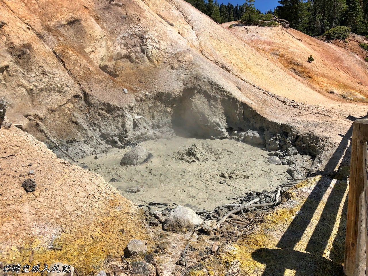
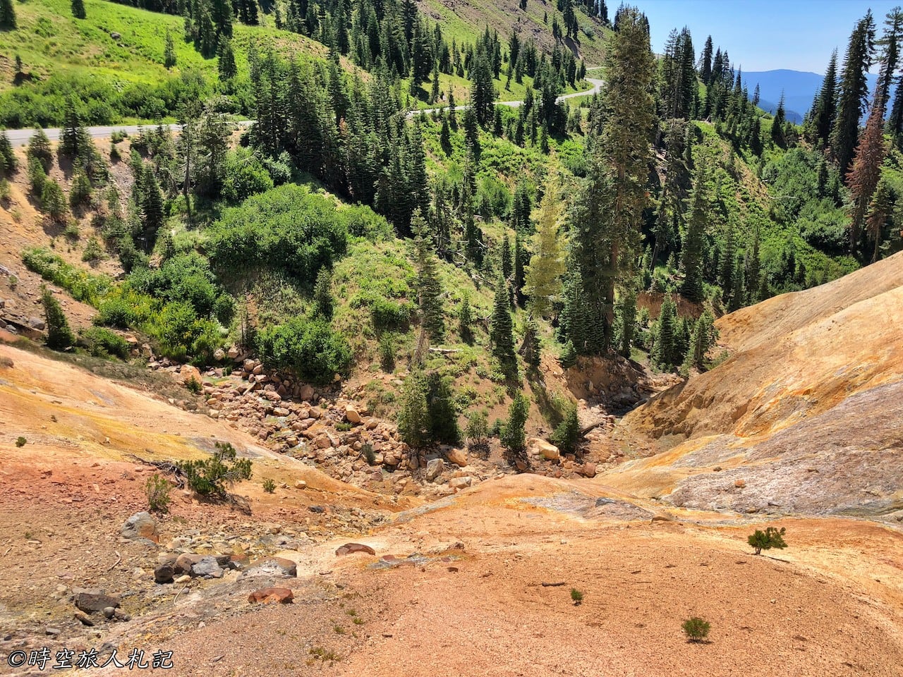
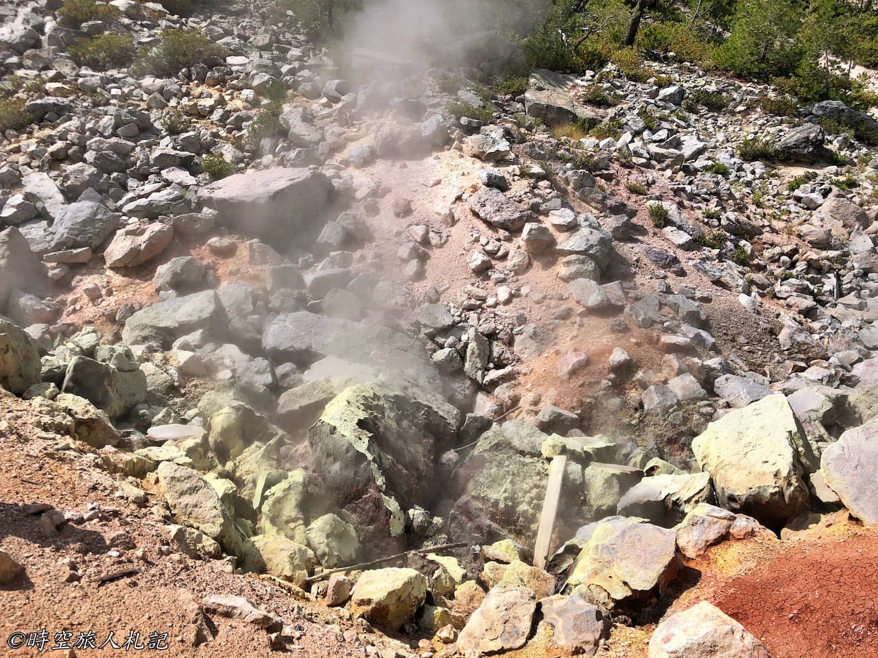
The first attraction in the park, Sulphor works, is located right next to the road, a pit of rolling mud volcano geothermal landscape. You can smell the sulfurous odor as you get closer. On the opposite side of the mountain wall, there are several vents that emit hot air.
Emerald lake
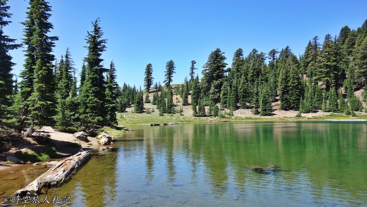
The turquoise water of Emerald lake is very beautiful, and it is also a rare cool landscape in the volcano. This time, I originally hoped to take the famous bumpass hell trail across the street, but unfortunately, it was under renovation.
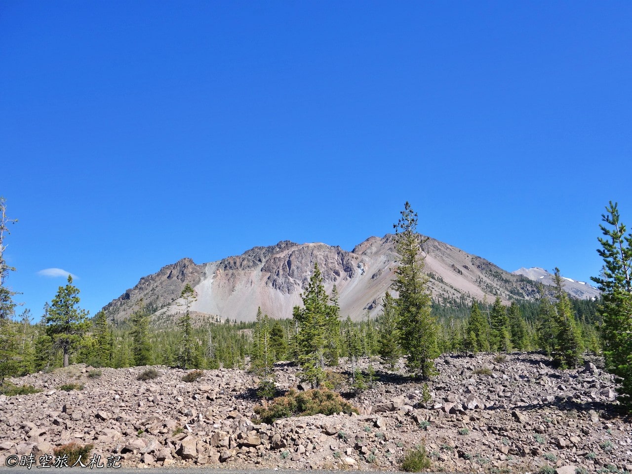
Broke off volcano
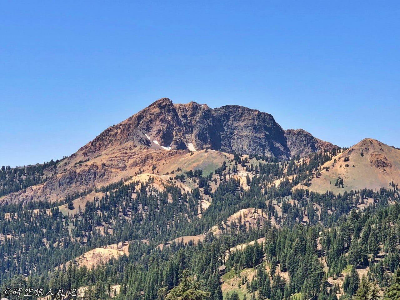
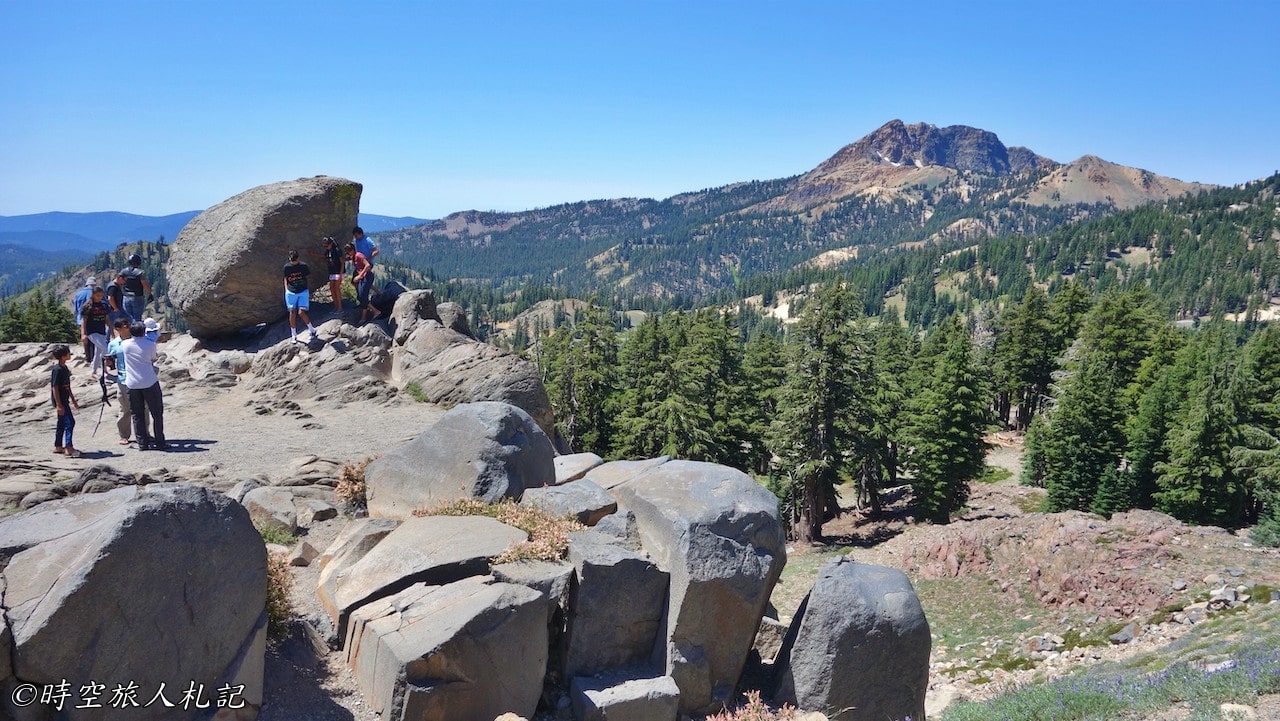
A roadside viewpoint overlooks Broke off volcano, an ancient composite volcano that was originally a high mountain, but ceased erupting 400,000 years ago, when geothermal heat and magma caused it to soften and collapse. The mountains we see today are the remaining edges.
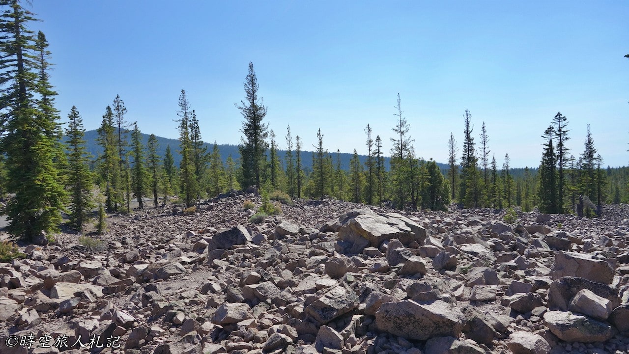
A long way from the ancient volcano, we can still see the surface of the ground cut by the ancient glacier here. This rocky outcrop, where many people have stopped, is a remnant of an ancient glacier that pushed its way down the mountain.
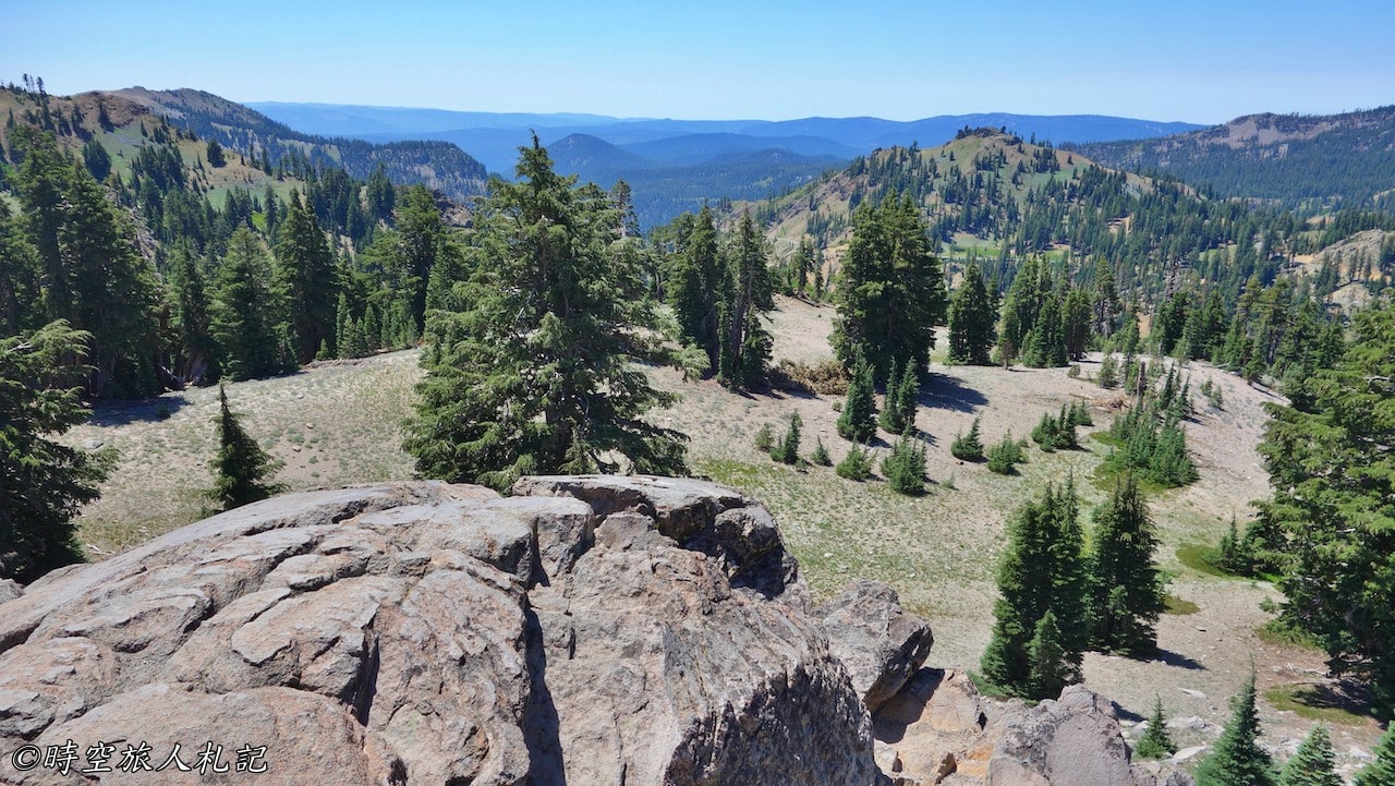
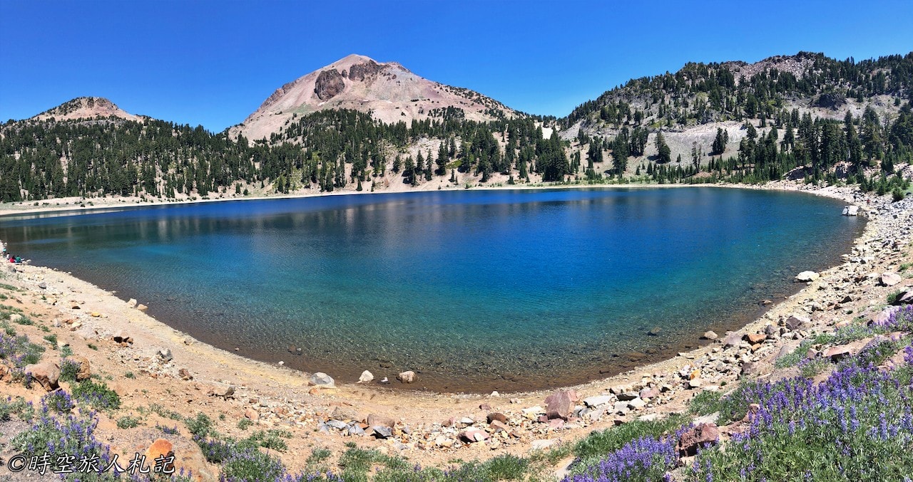
Summit lake
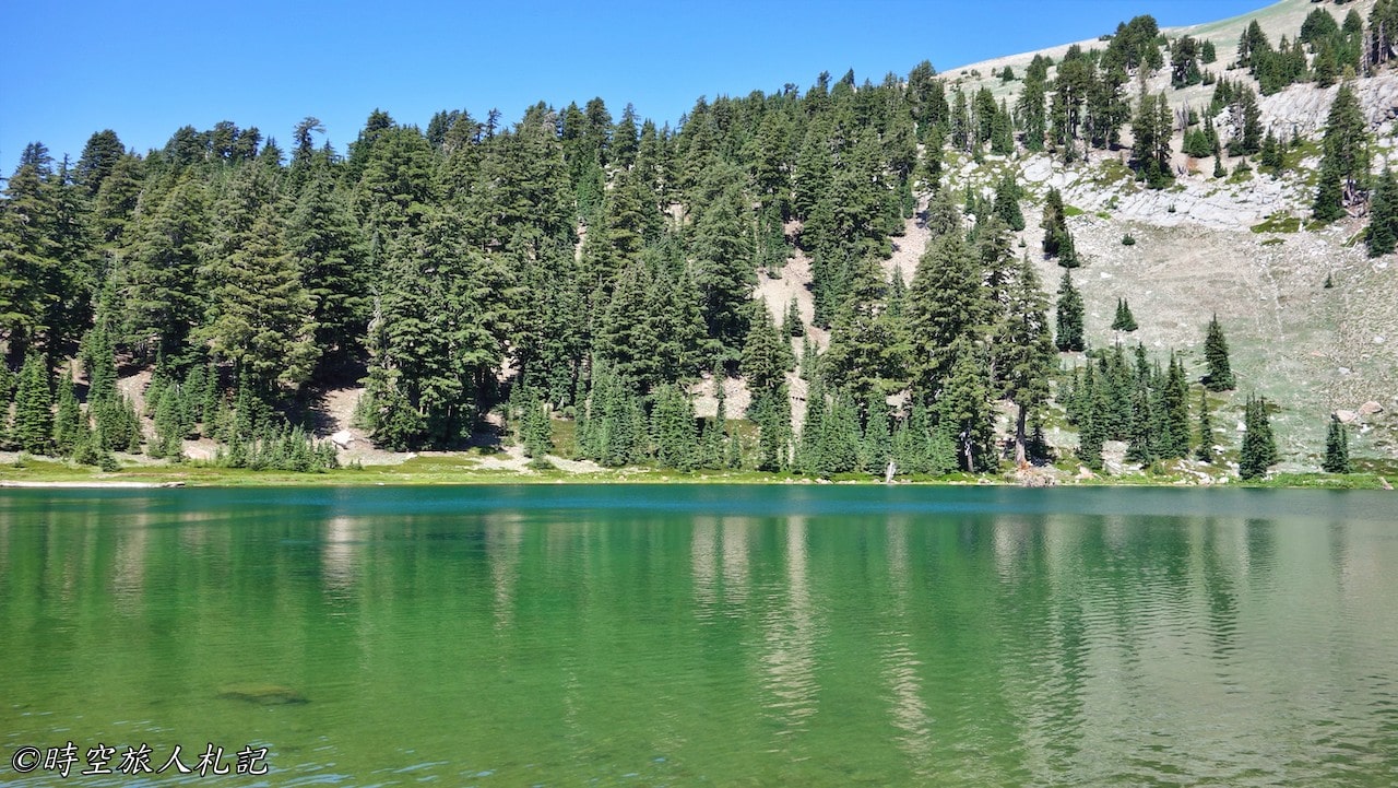
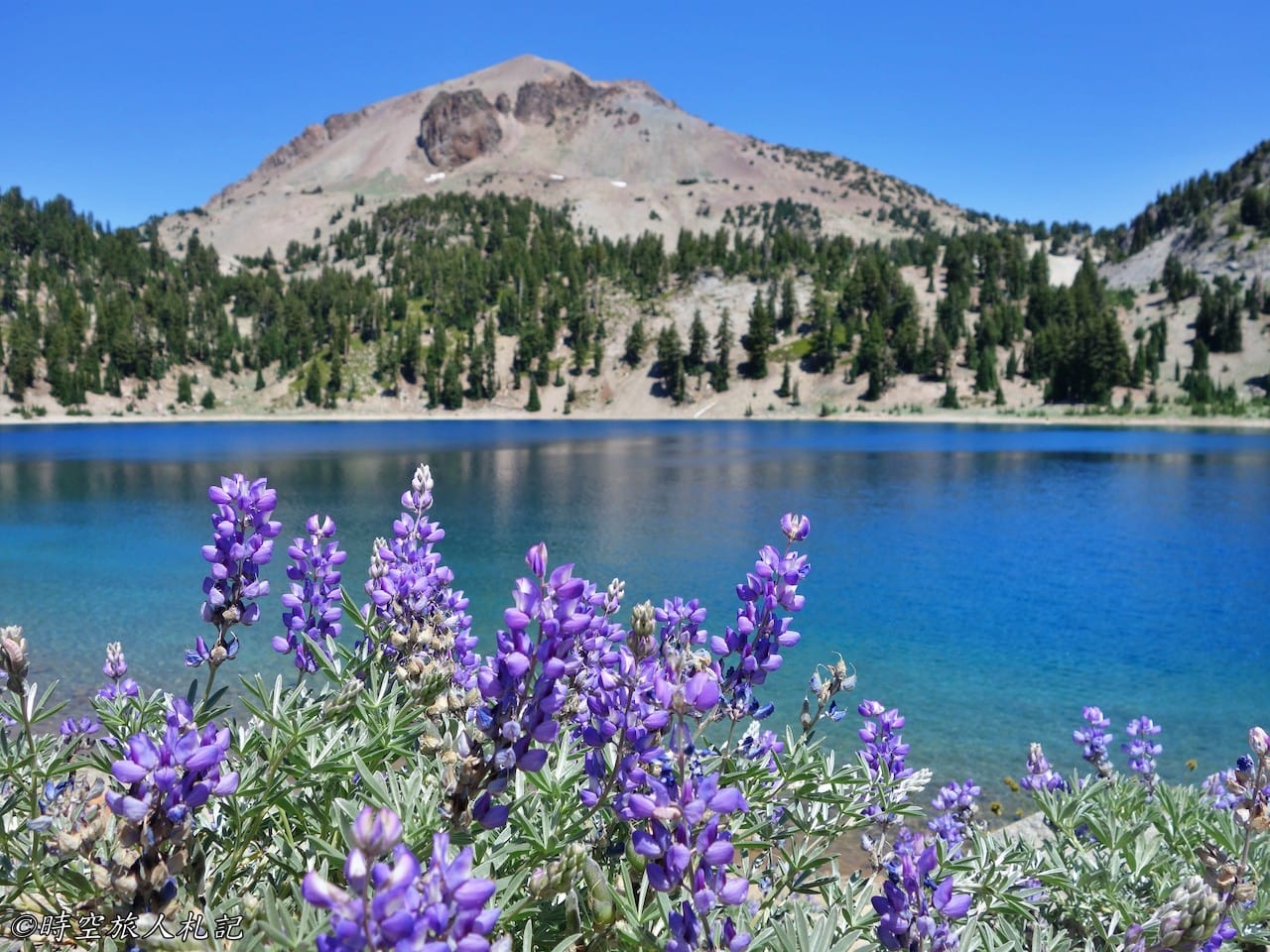
Summit lake is one of the most beautiful lakes in the park, but it is not open in winter. The center of the lake is dark blue, and the edge of the lake is full of wildflowers, which can only be seen in summer.
Hiking trail
As for the trails, if you have two days, you can actually walk through all the major trails. On our visit, except for the Bumpass trail which is not open to the public, we have probably walked all the famous trails.
Lassen Peak trail
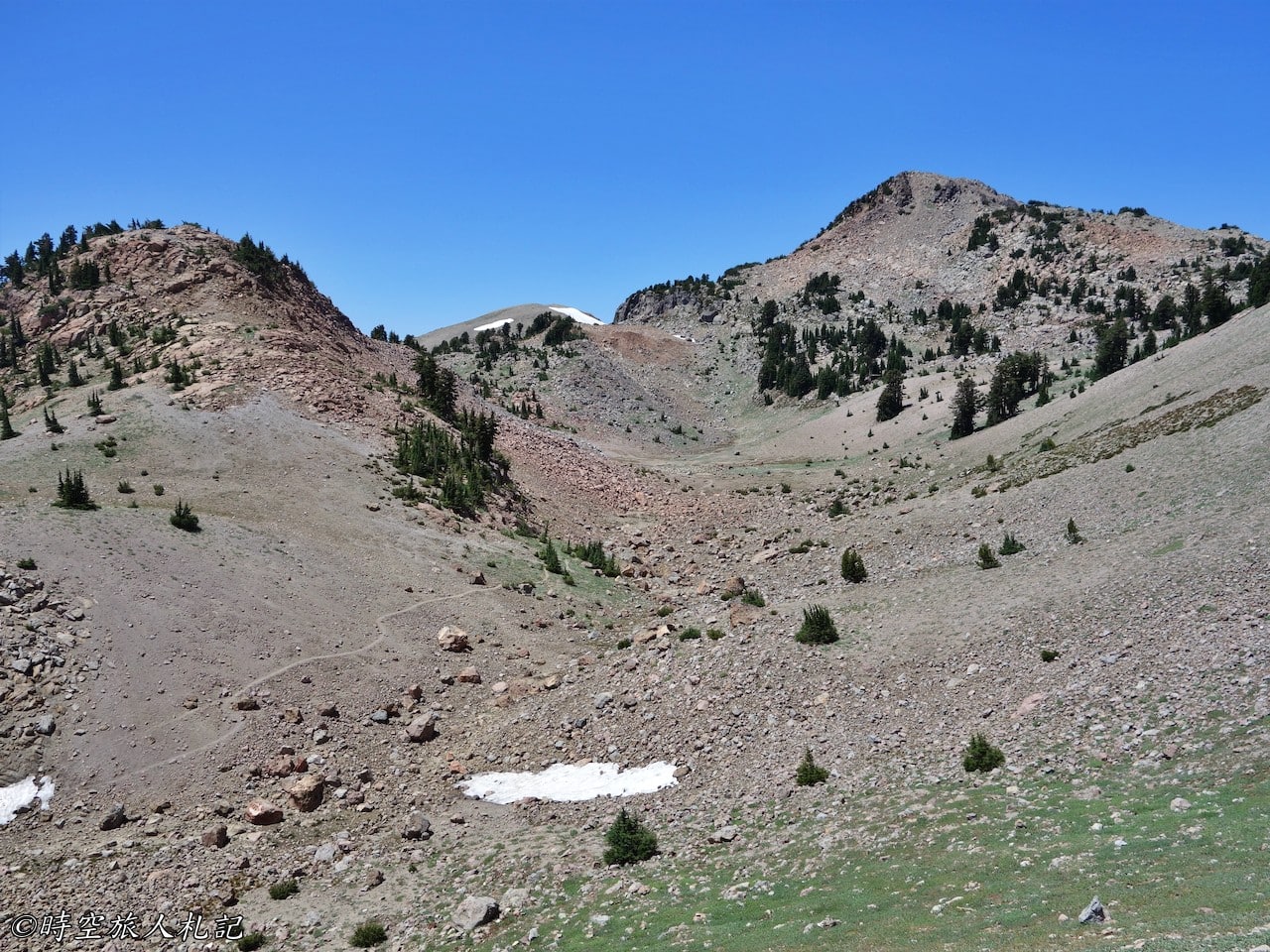
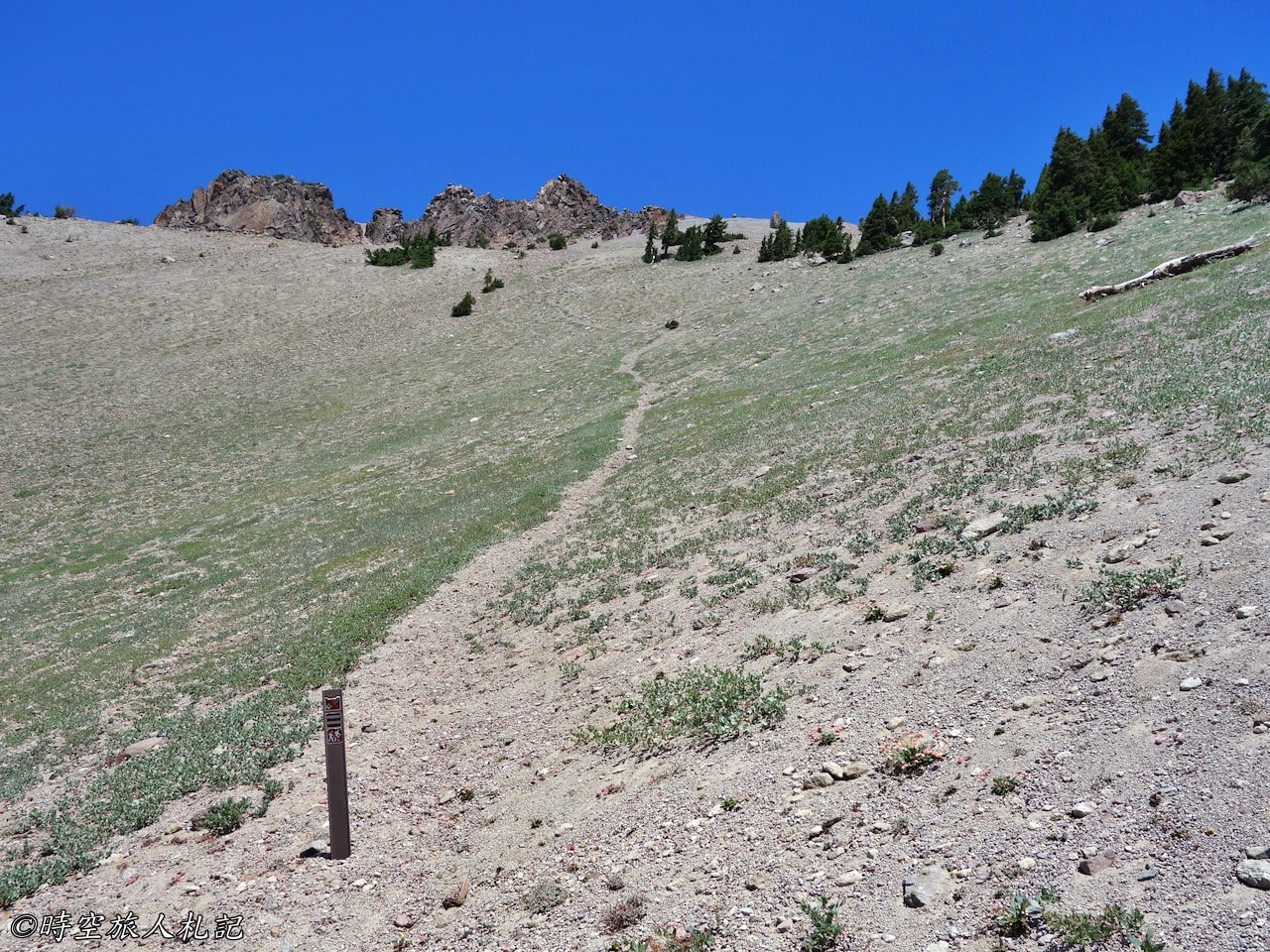
Lassen peak is the world's largest dome volcano, the last eruption was in 1915, the original forests on the mountain and the river valley below were all smoldering, Lassen peak trail is one of the most important trails in the park. The trail is 2.5 miles to the top and 5 miles back and forth. It takes about 4 to 5 hours to climb the whole trail, which is at an elevation of 10,000 meters, with not much vegetation, and you have to pay attention to the possibility of alpine sickness. We only went as far as grandview and turned back.
Conservation work is underway on the mountain, and a small section of what looks like a road on the right is known as the healing scar, which is where visitors come out. The park management office emphasizes that visitors should not walk on the path.
Kings creek trail
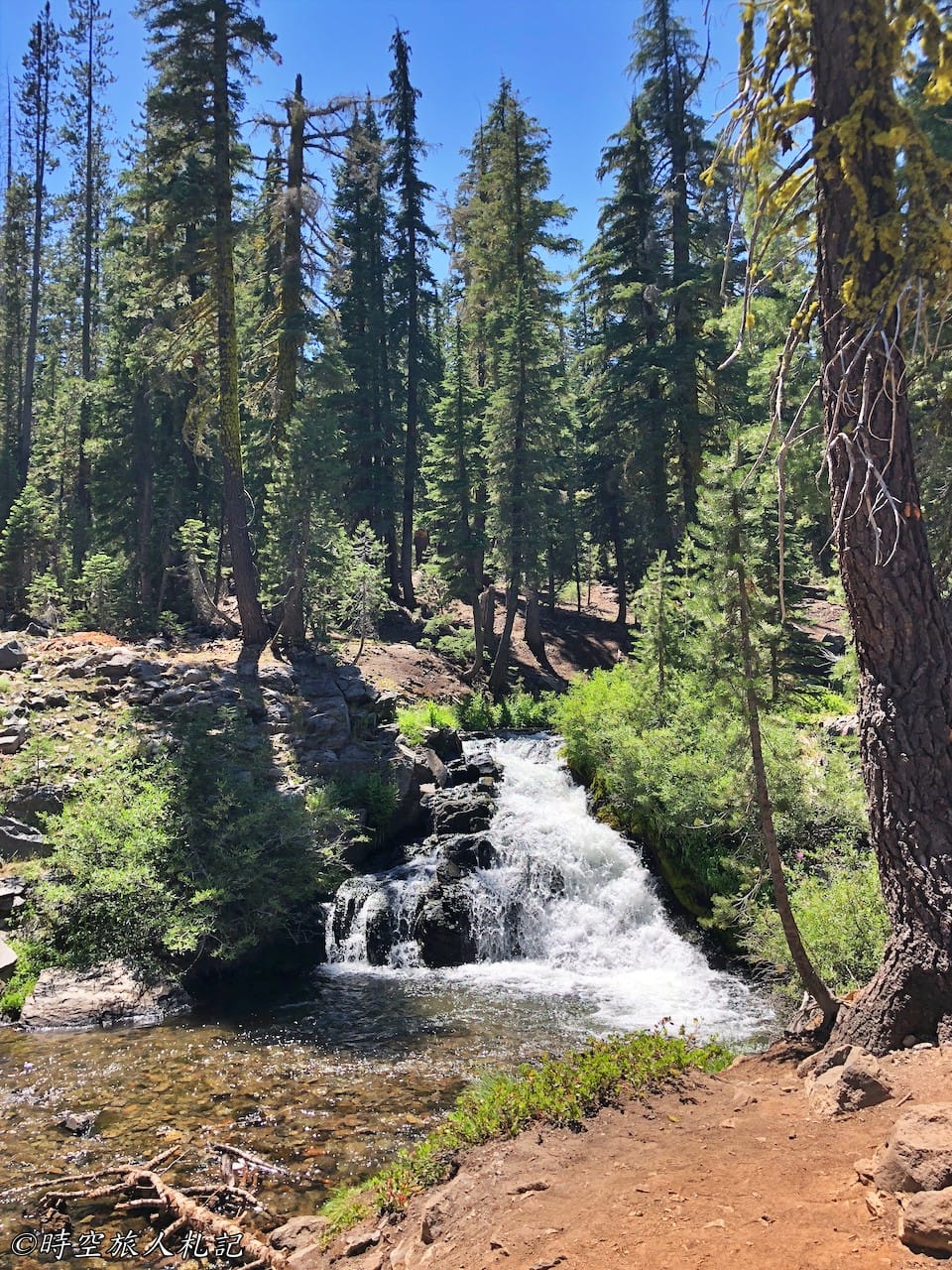
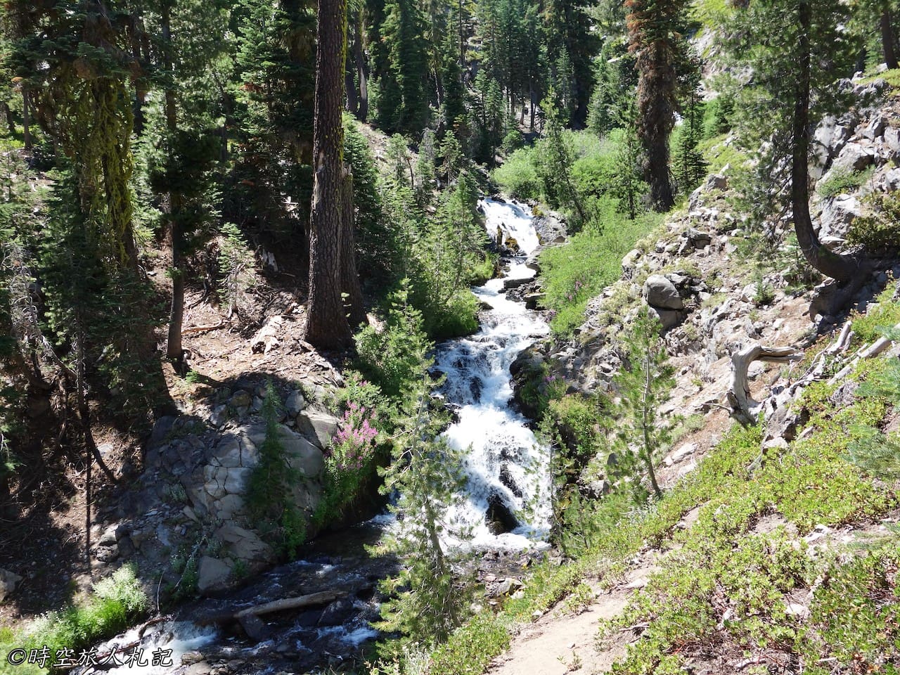
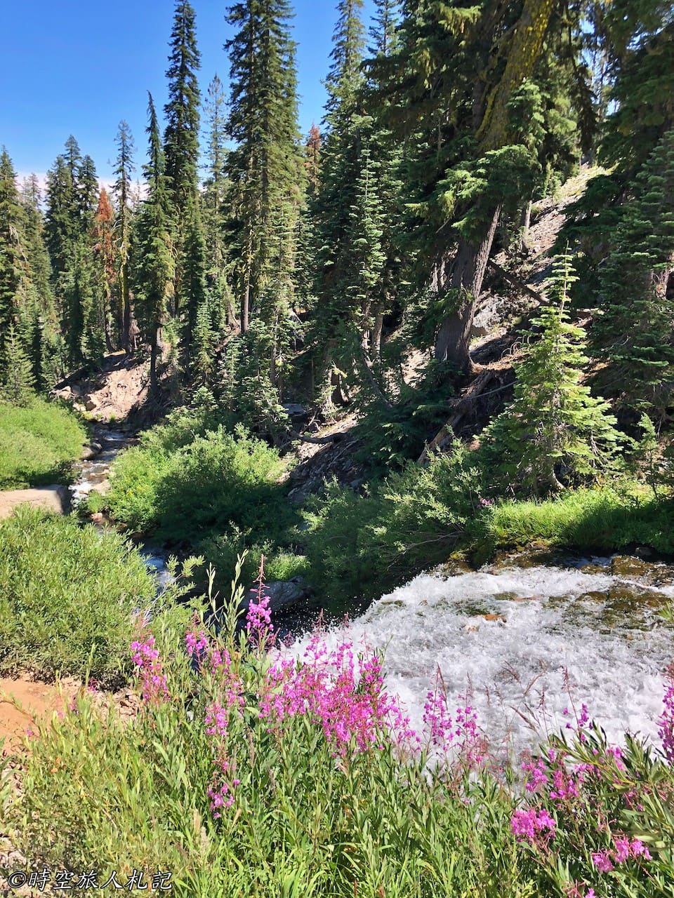
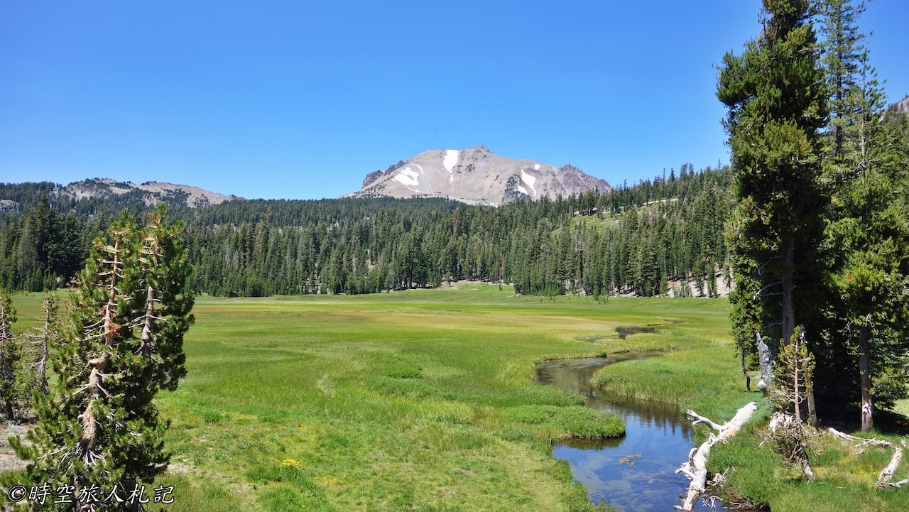
Kings creek trailIt is a forest trail with abundant water source, and it is very comfortable to walk, passing through kings creek waterfall and upper meadow in the middle, and it is very beautiful along the way.
Devastated area trail
Devastated area trailIt's a half-mile loop trail that focuses on the site of the disaster that took the brunt of the 1915 eruption. Right next to this trail is Hat Creek, a creek that was the source of water for the local Indian Atsugewi, thanks to which fishing and hunting in the hat creek valley was possible.
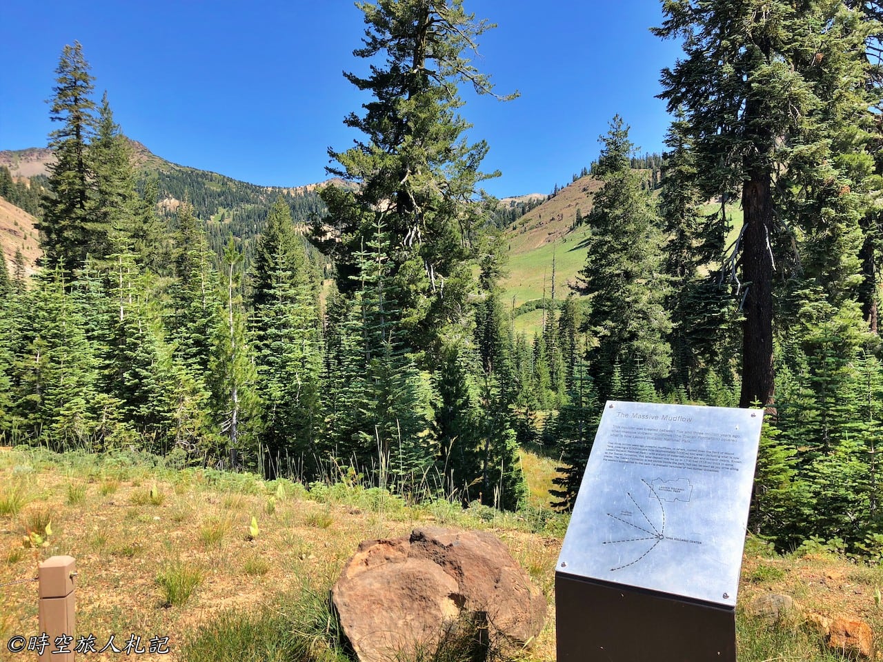
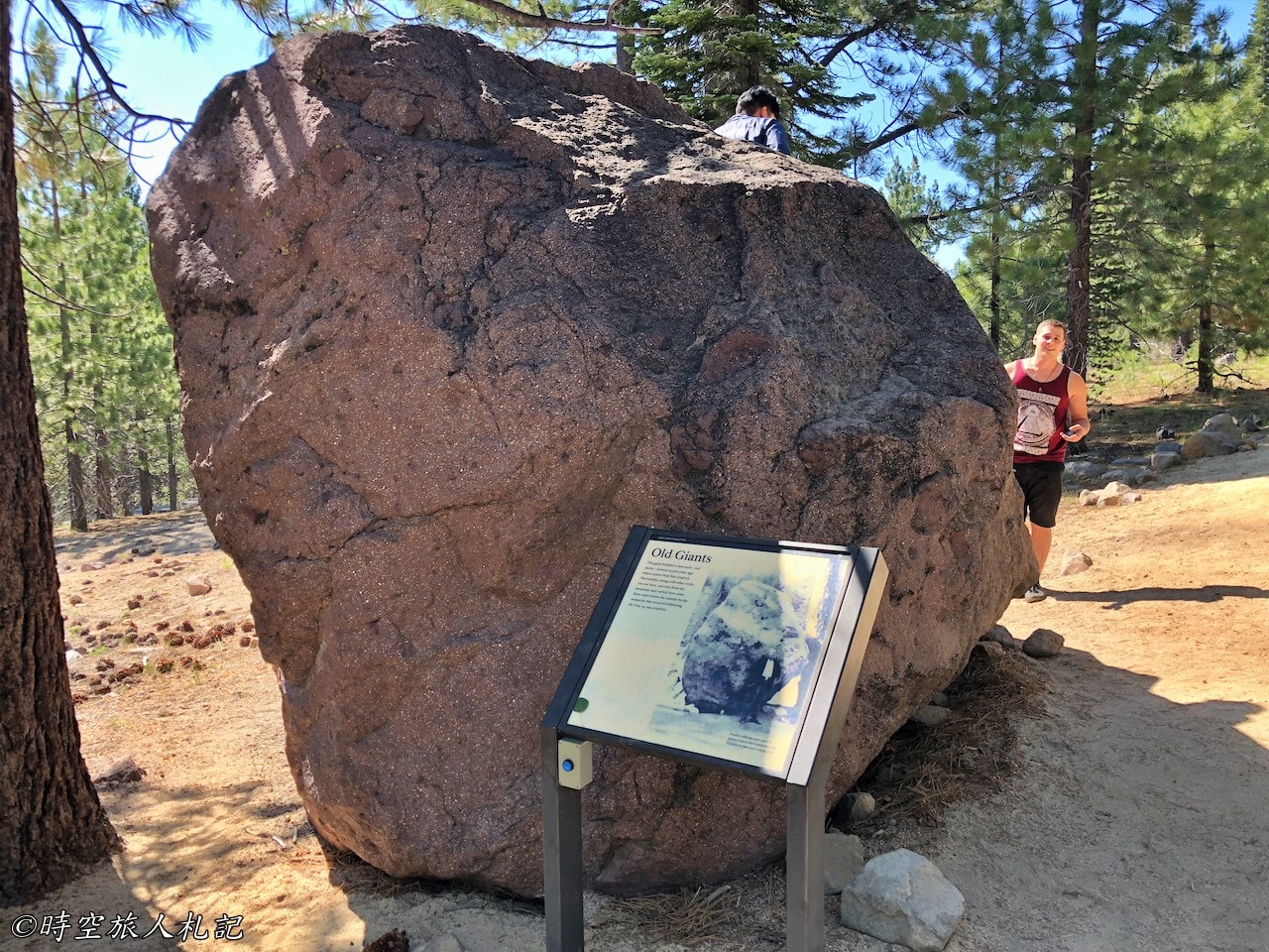
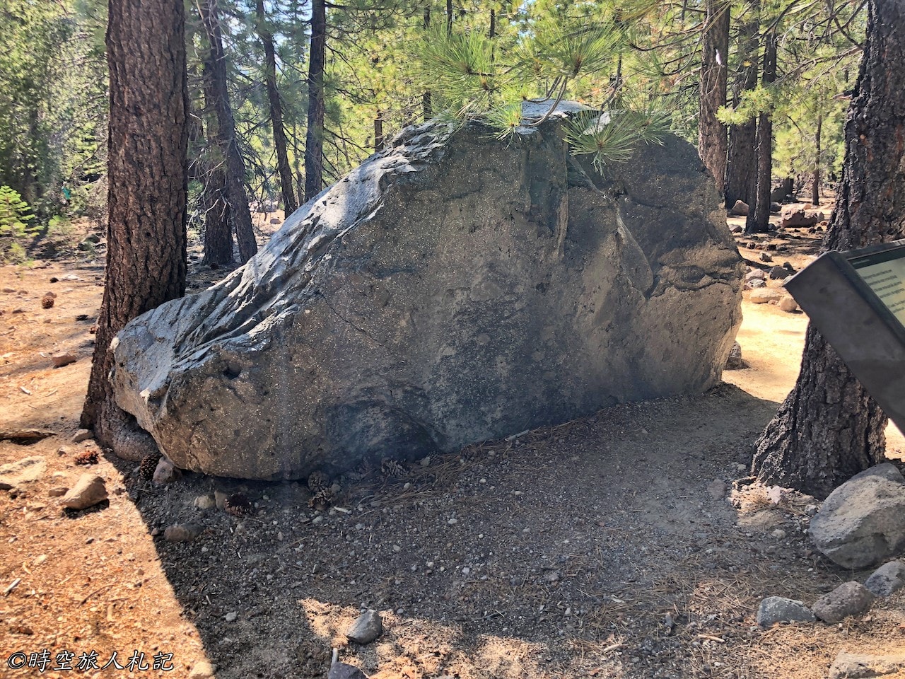
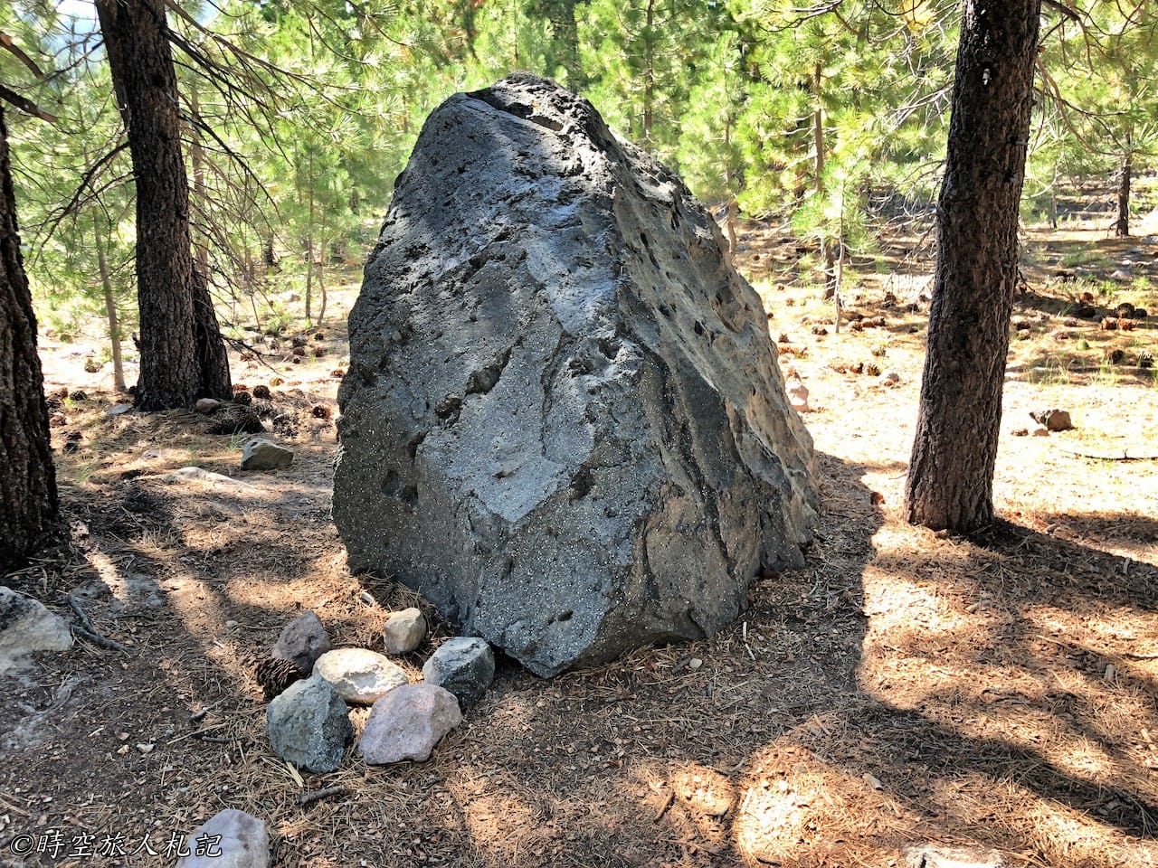
Although the Devestated area is short, there are a lot of interesting and educational things to see. This boulder is called Old giants, it should be formed 27,000 years ago, it should be on the top of Lassen peak, when the volcano erupted, the avalanche rolled down the mountain with it, the photo of the eve of the eruption that is displayed in Loomis museum is taken from the back of this boulder.
It was summer when I came here, and the snow had melted off the summit, so I could see the crumbling mountain. It is one of the classic views of Lassen when the snow is still on the mountain. The whole piece of debris on the ground is the remains of the volcanic eruption, and you can see how powerful the eruption was.
Devil's kitchen trail
The last day of the trip was a full day of climbing, we took the Devil's kitchen trail, to get to this trail, you have to take the south exit, come in from the outside, and it is 3.4km to Devil's kitchen, almost 7km back and forth. This trail also overlaps with part of the famous Pacific crest trail.
Dream meadow
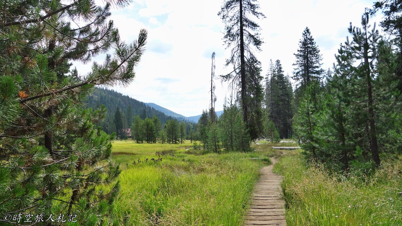
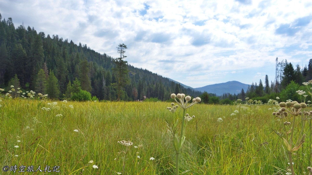
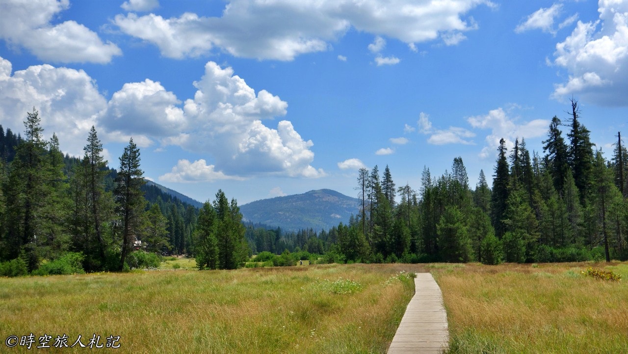
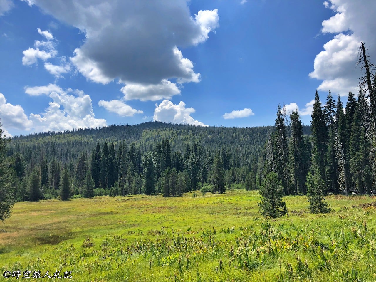
After walking for a while, you will arrive at the dream meadow, which was originally a dream lake, but now it has become a grassland because the water is getting less and less. But even though it's a meadow, it's still quite beautiful.
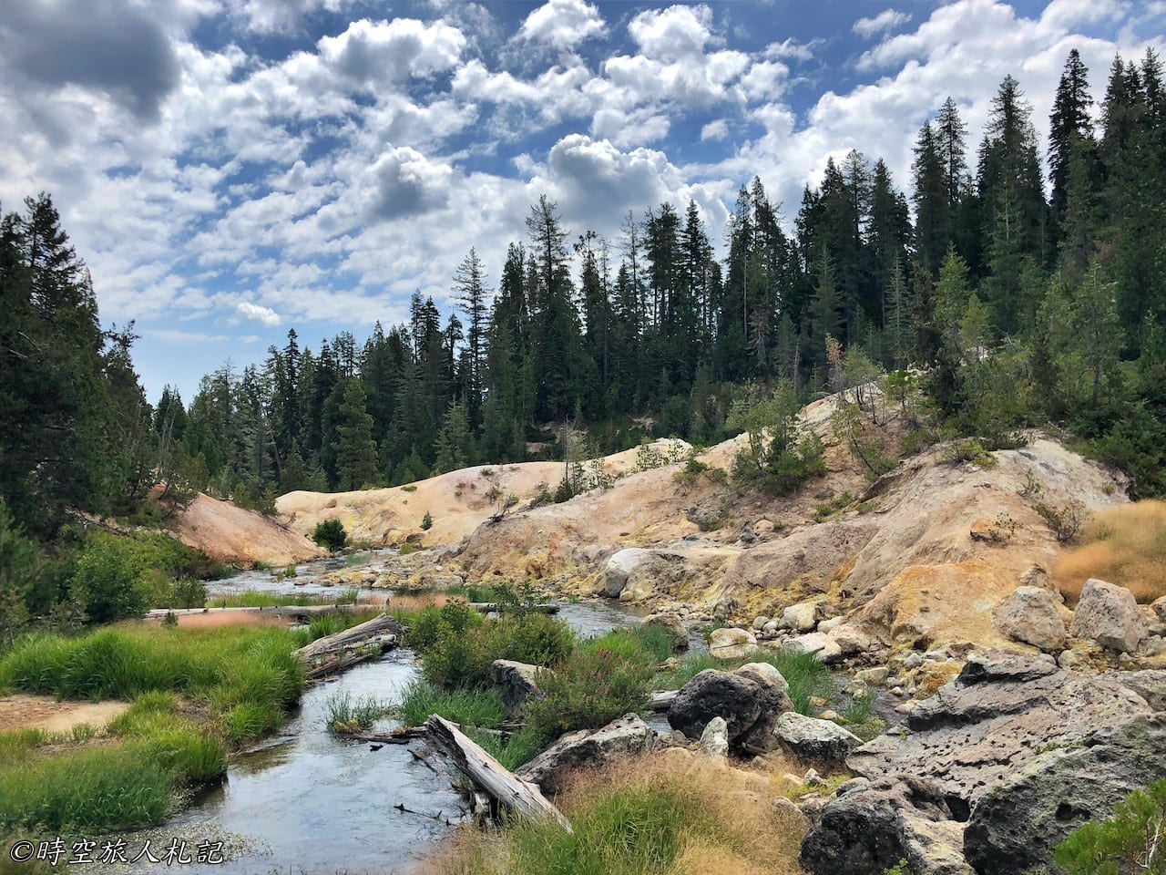
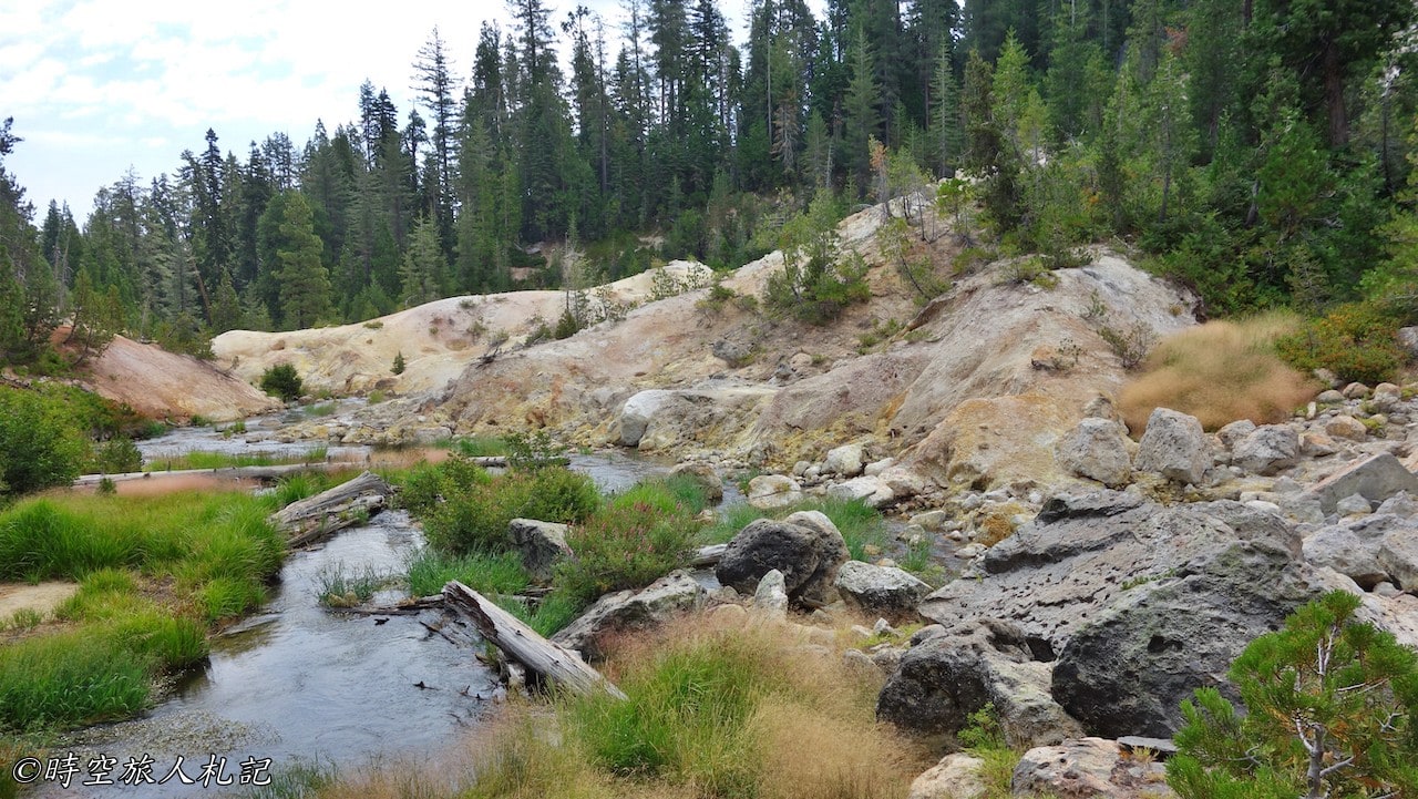
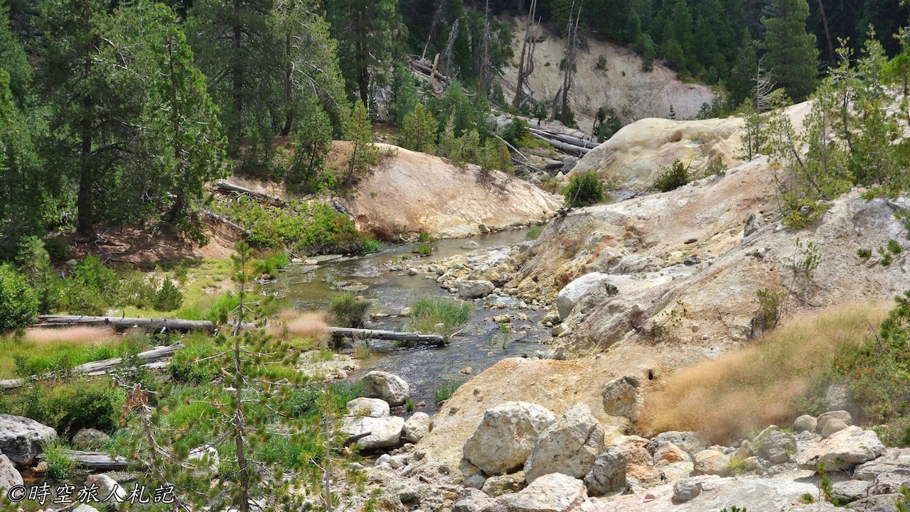
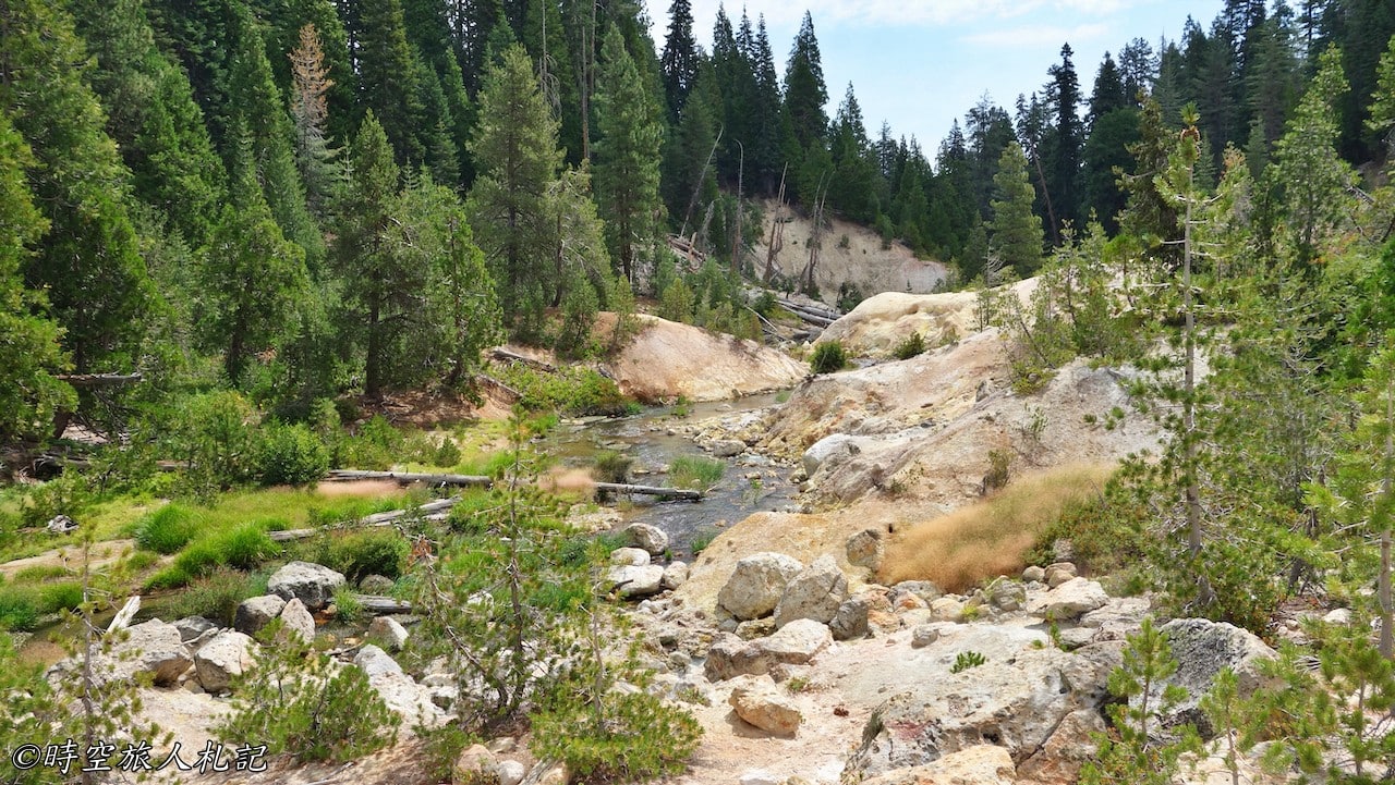
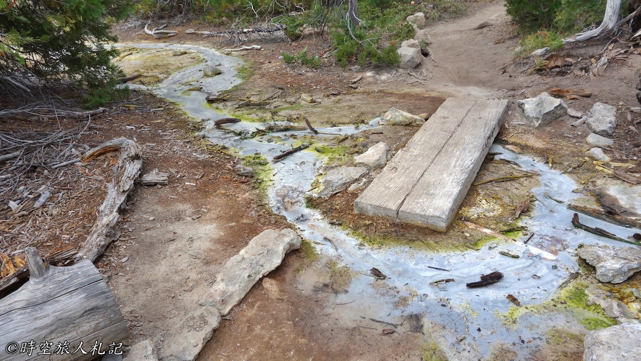
Continue on to devil's kitchen and you will pass a nice creek on the way.
Devil's kitchen
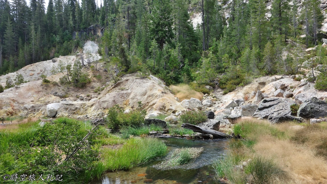
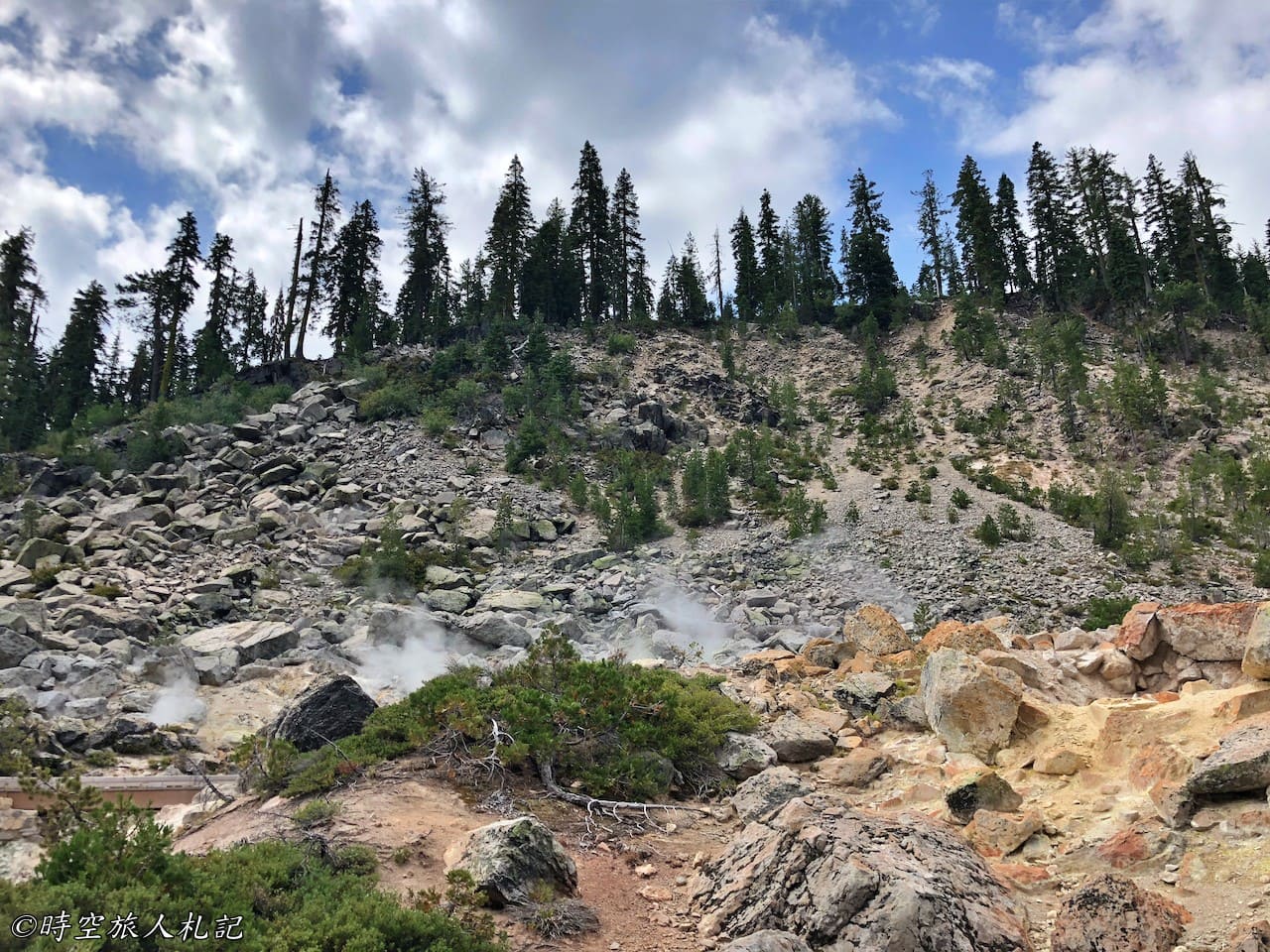
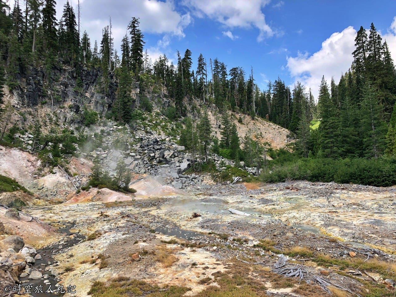
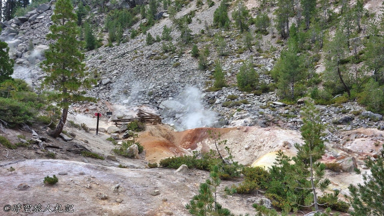
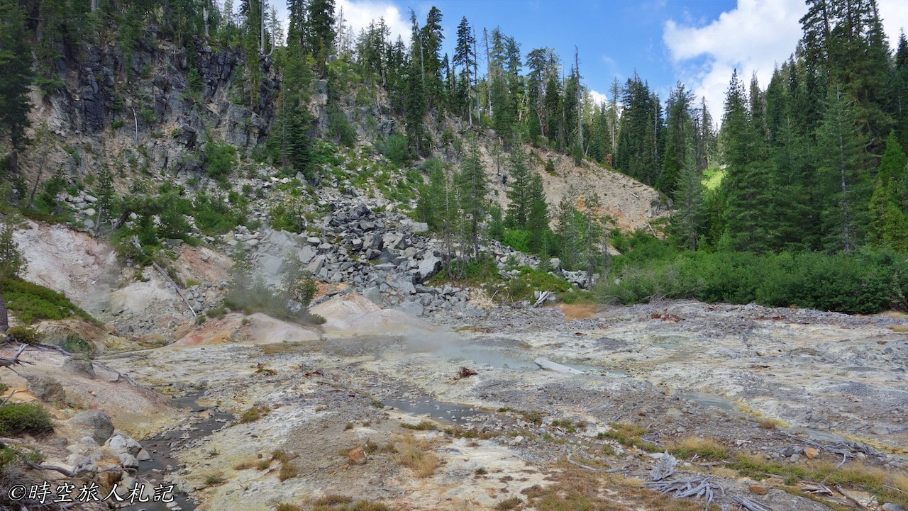
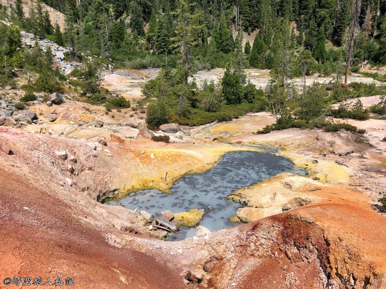
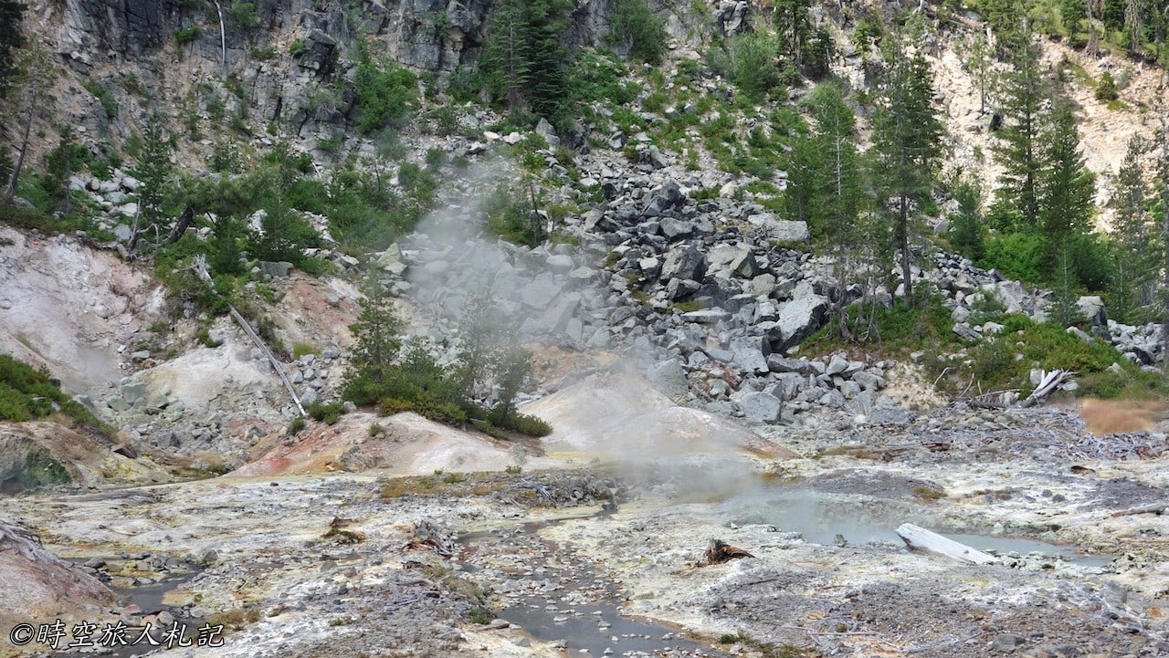
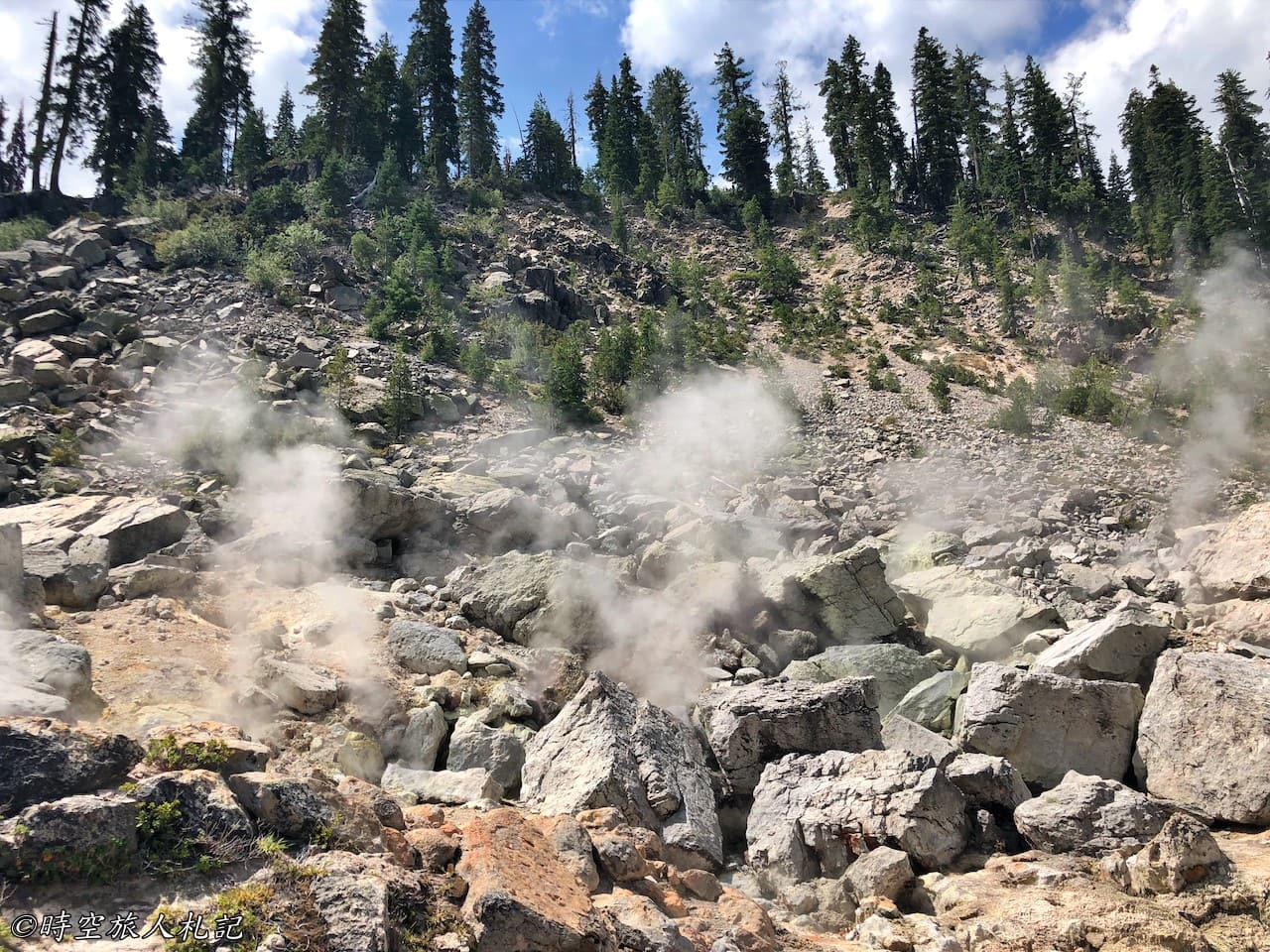
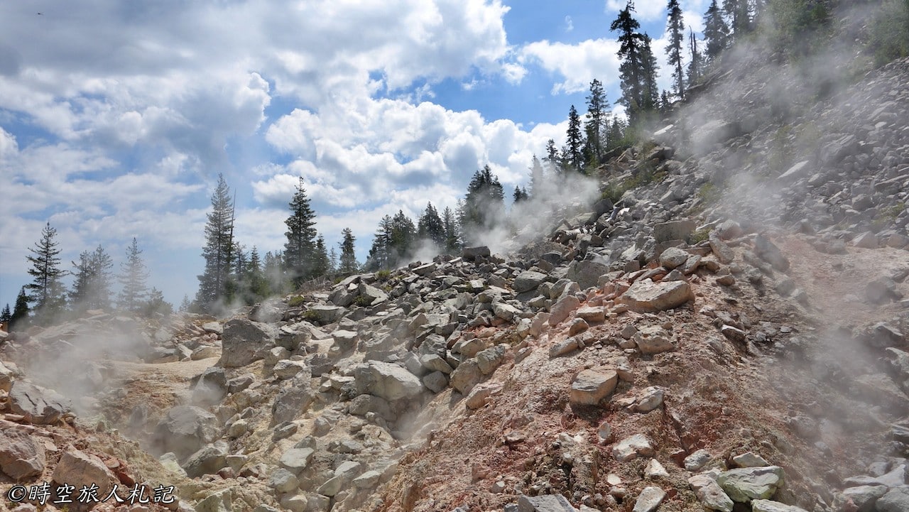
Smoke begins to billow from the road ahead. The devil's kitchen geothermal area has arrived. Warning signs say the ground here is slippery and fragile, so watch your step. The geothermal landscape here is said to be similar tobumpass hellSimilarly, since bumpass hell isn't open, it's nice to visit devil's kitchen.
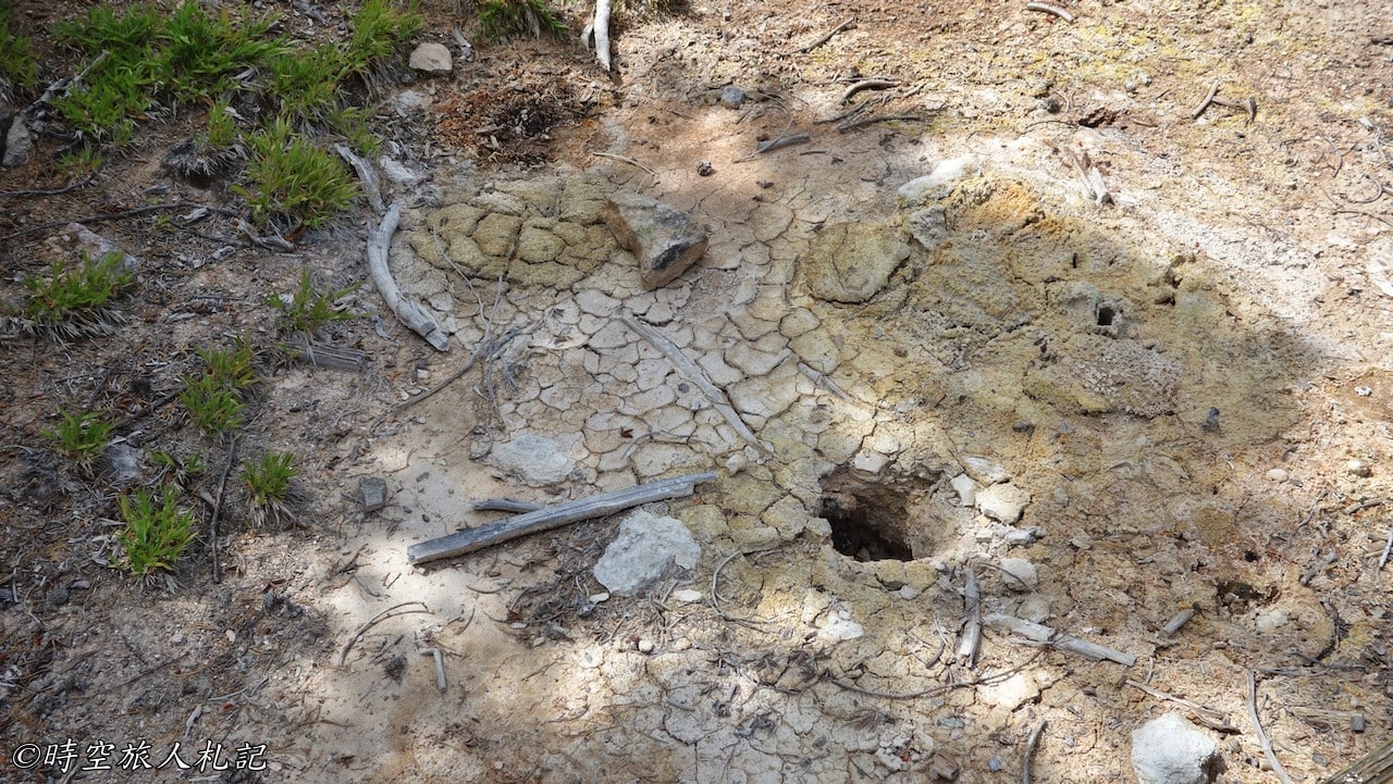
There are many gaps in the ground where boiling mud or hot air is coming out, and the smell of sulfur is strong everywhere. But there are no geysers here.
Boiling spring lake
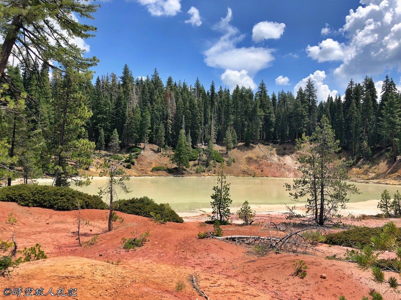
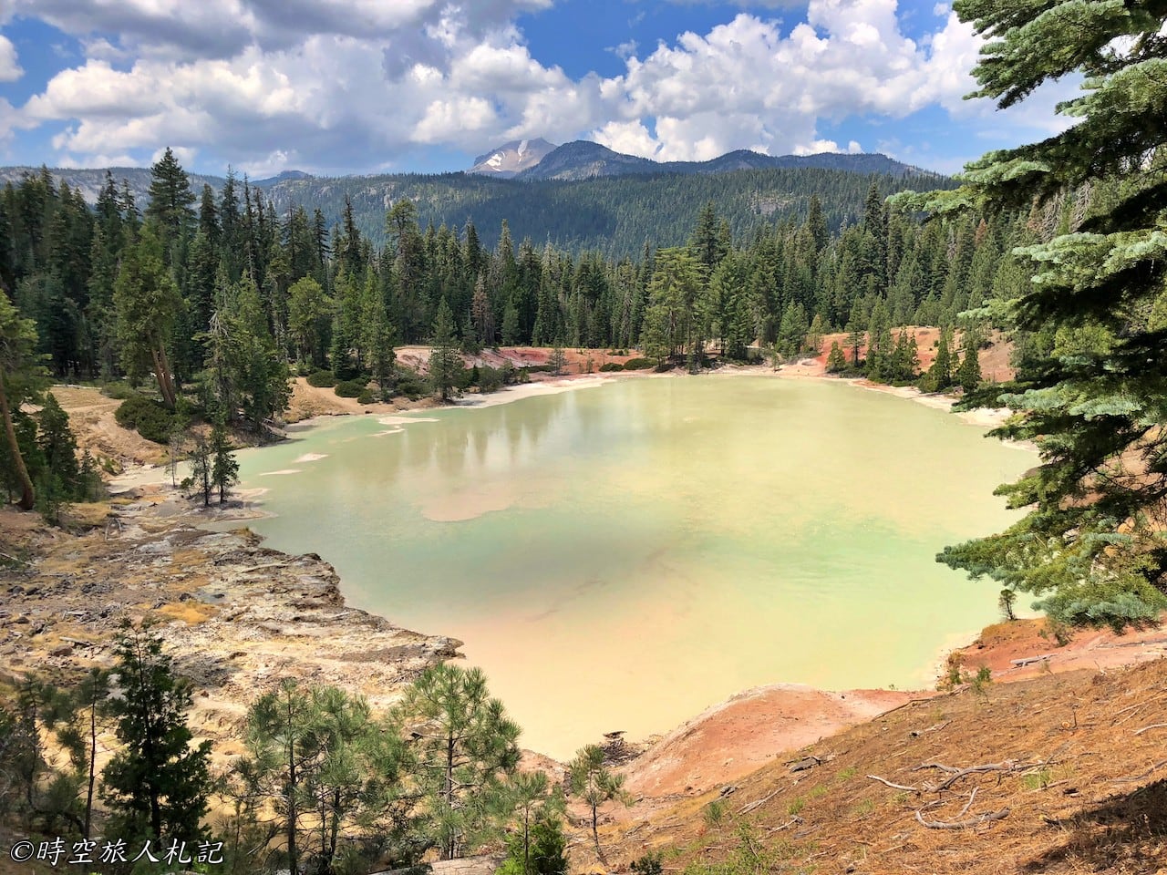
After seeing the devil's kitchen, we went back to the other side of the lake through the dream meadow and headed for the Boiling Spring Lake, where we can go around the lake, which is about 2.3 miles more. There are many geothermal vents underneath the lake, so the temperature of the lake stays around 51 degrees Celsius all year round. When you look down from the high place, the hot lake looks yellowish-green, which is a very strange sight.
☕ Enjoying my travel notes?
You can Buy me a coffee to support what I do 🙌
Redding Dining: Champa Garden
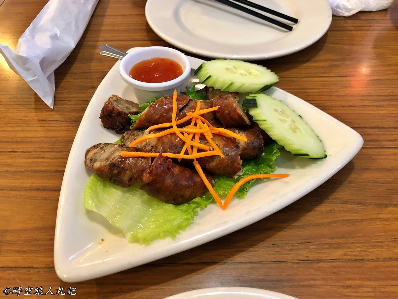
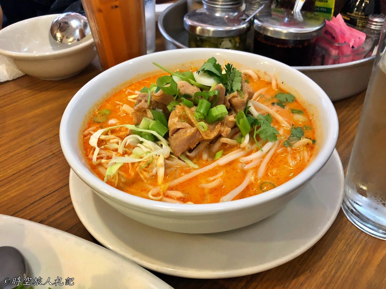
This trip was relatively short and I didn't have any famous food along the way, so I'm going to record it all in this post. I stayed in Redding and found a Laotian restaurant called Champa garden, it's not a big store but it did a good business, I ate Lao sausage, Pad kea moa, Lao's vermicelli, they all tasted good, medium to high standard.
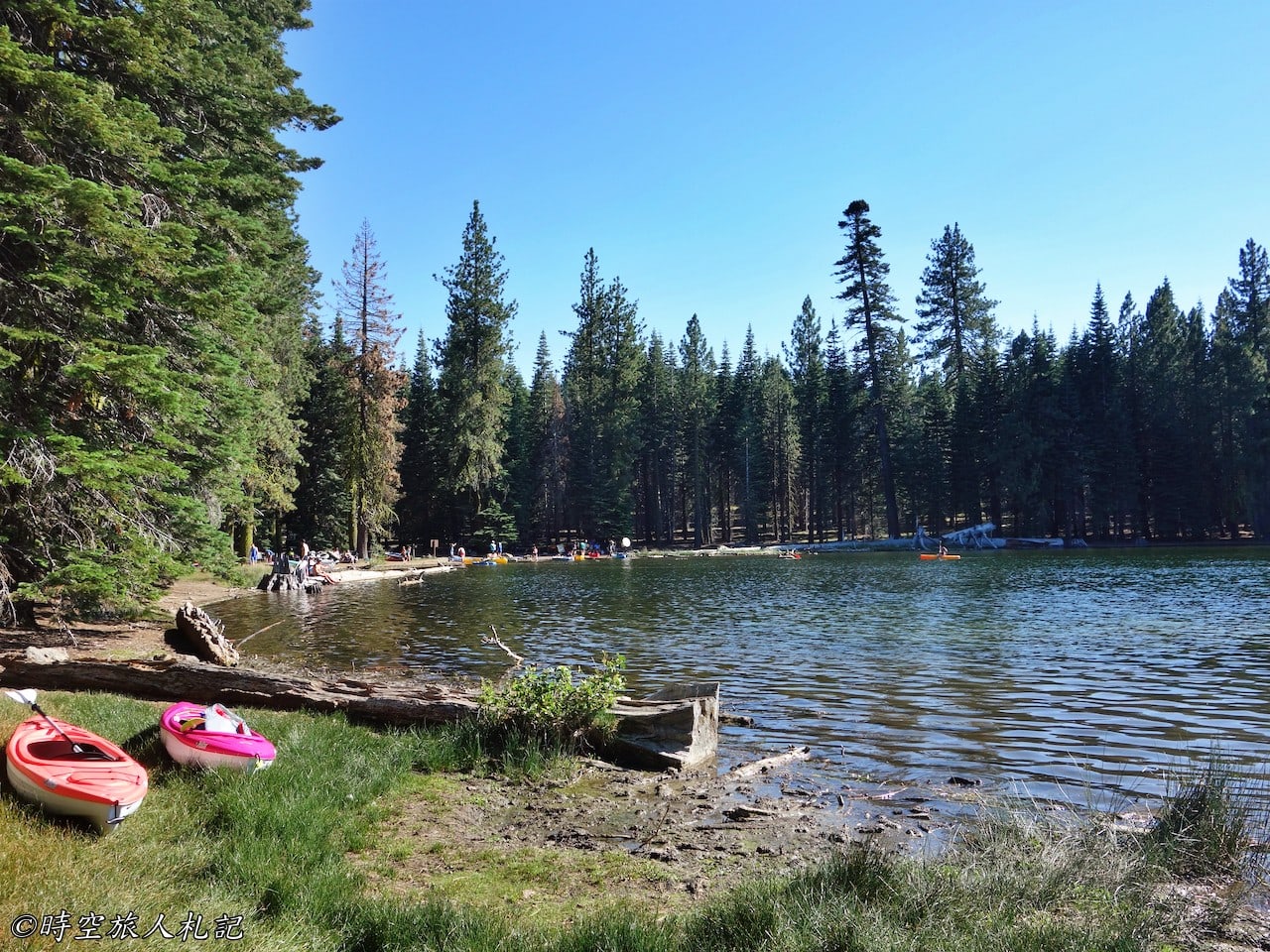

Summit lake is truly beautiful. May I ask what camera did you use?
Summit lake was taken with a Sony RX100.