Table of Content
Glacier Point Road | Introduction
Glacier Point Road is where I thinkYosemite National Park (Yosemite National Park is one of the most important and must-see areas in the world. Yosemite can be divided into five areas. Yosemite Valley, Glacier Point Road, Wawona and mariposa grove,Tioga road and Tuolumne meadows, Hetch hetchy. if we're talking about the most visited area in yosemite, it would beYosemite ValleyThis is because there are some areas that are only accessible by car during the summer months, and Glacier Point Road is one of them.
Glacier Point Road is generally open for driving from the end of May to October, and you can snowshoe or cross-country ski from December to March. For the average person, summer is probably the best time to visit.
Glacier Point Road | Transportation
If you are driving by yourself, to get to Glacier point, you have to drive south first, and then turn onto Glacier point road, no matter if the last stop is from Yosemite valley or somewhere else, it is about an hour drive. We entered Yosemite from the west entrance, so the route is 44 miles from the Yosemite sign at the west entrance to Glacier point. There are many visitors to Glacier Point in summer, so it is better to come early in the morning to find parking space more easily.
There are two other common ways to get to Glacier Point, one is to book a bus from Yosemite Valley to Glacier Point, and the other is to take the four miles trail from Yosemite Valley, which is a very beautiful trail, so some people will take a one-way bus to get to Glacier Point and climb down. If you are staying in Yosemite Valley, you can consider taking a one-way bus to climb up and down the trail. 2021, due to the COVID epidemic, this bus will not be running.
Glacier Point Road | Day Trips
On Glacier point road we have the following schedule.
- Glacier point
- Washburn point
- Taft Point
- Sentinel Dome
Generally to Glacier point road if you do not intend to climb the mountain, probably will walk through Glacier point and Washburn point to leave, plus driving time, half a day more than enough. This time we have arranged a whole day in this area, so we chose to go to Taft Point and Sentinel Dome, these two places need to climb the mountain, the trail back and forth each takes about 2 hours, belongs to the medium difficulty of the route. If you are confident in your physical strength, you can also consider more difficult routes.Other trails.
Viewpoint | Glacier Point
The first stop is the end point of the whole Glacier Point Road: Glacier point, after parking your car, you have to walk a 0.25 mile easy trail.
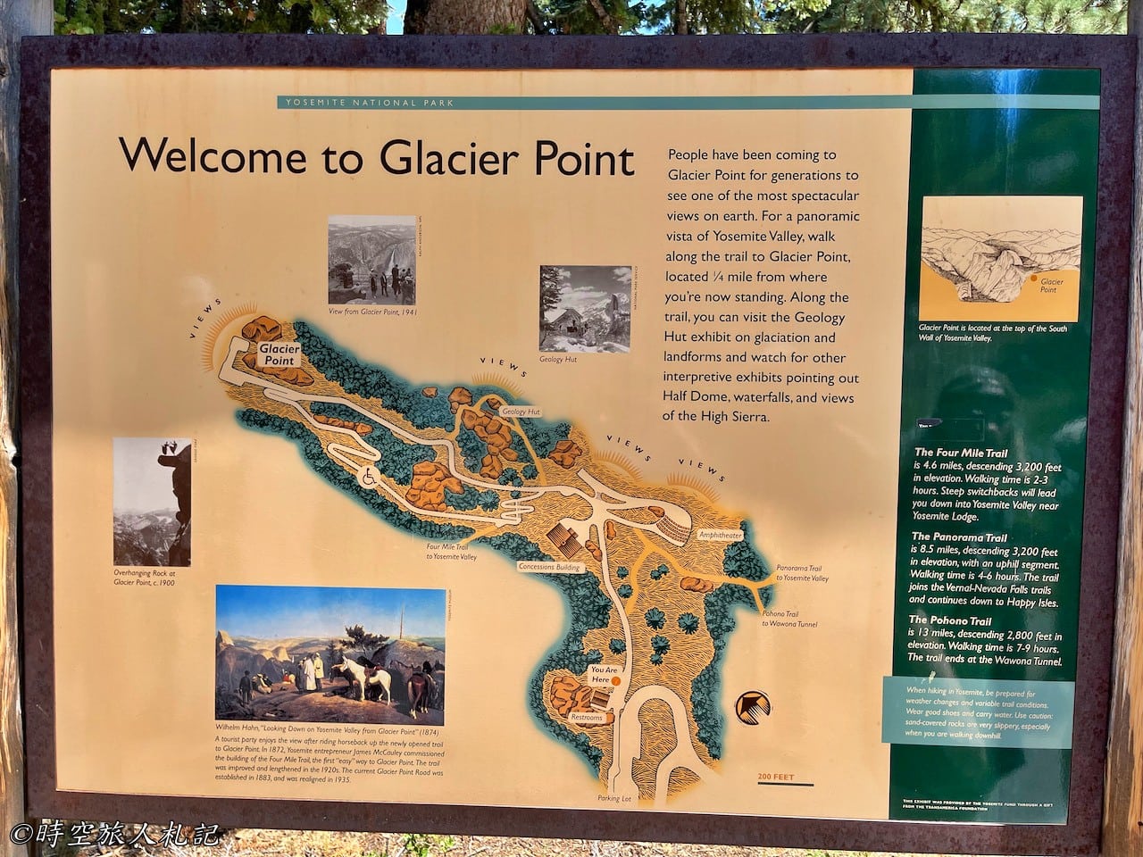
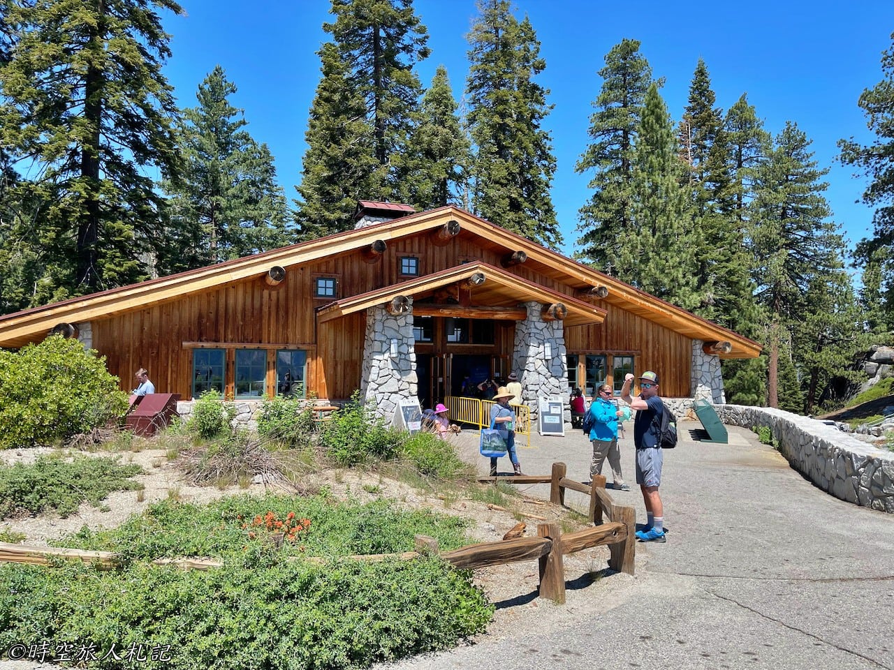
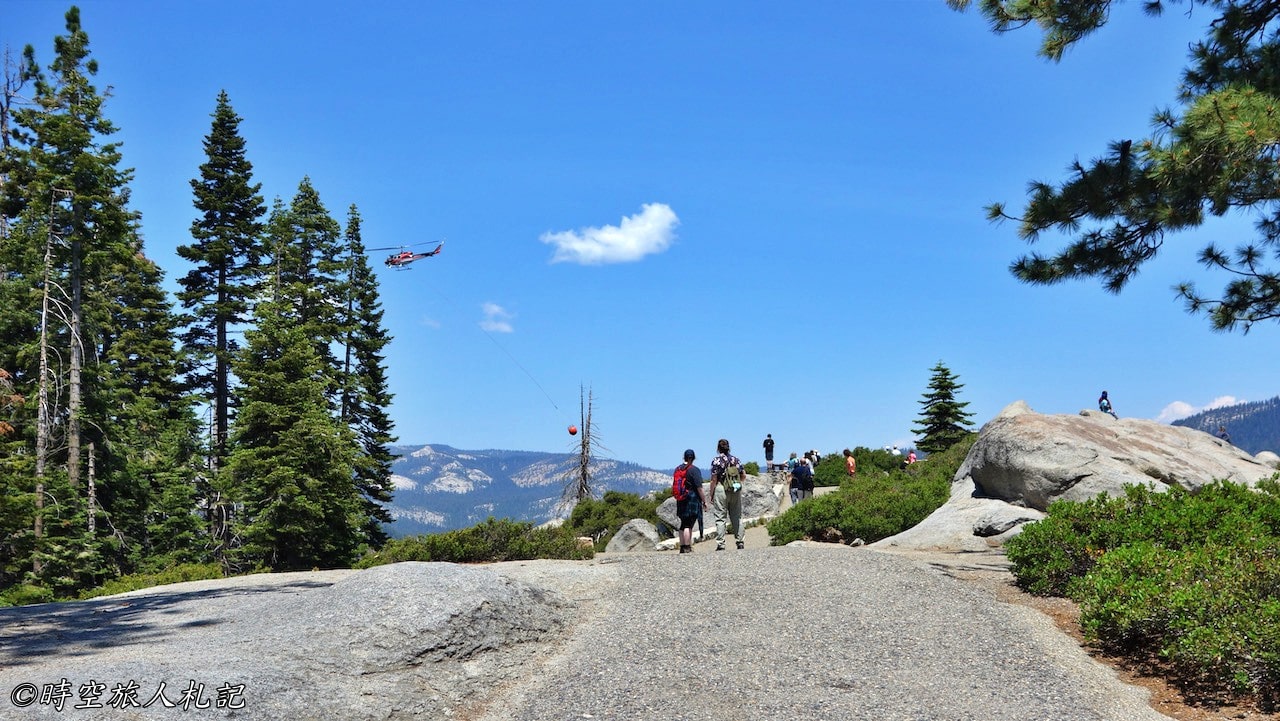
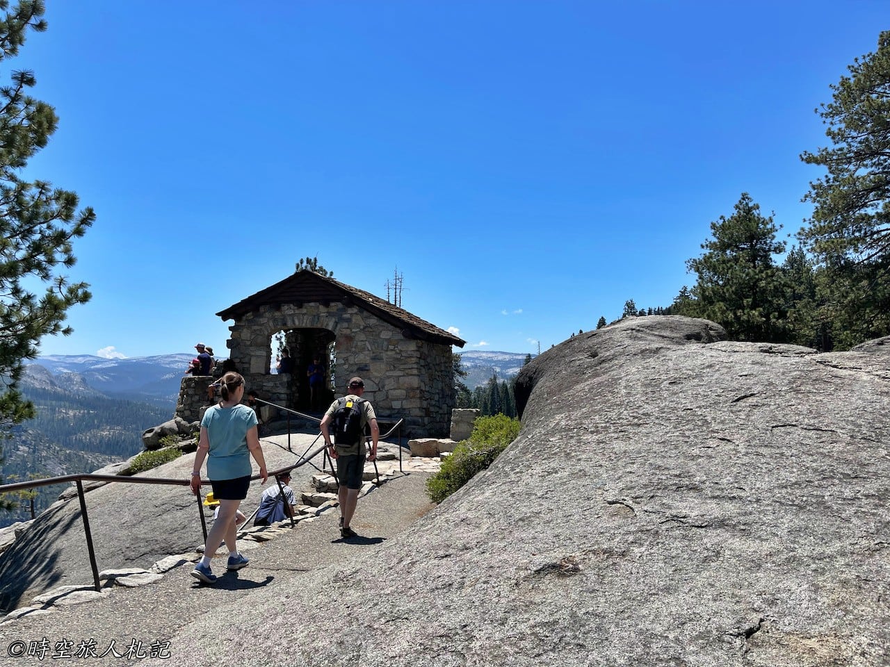
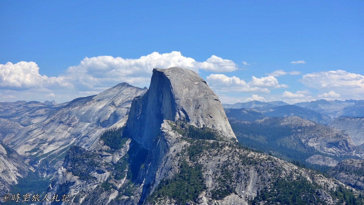
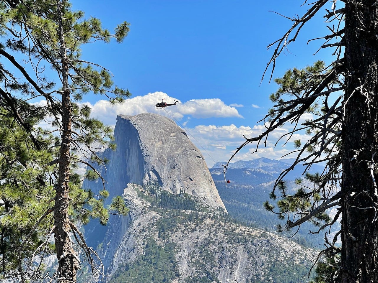
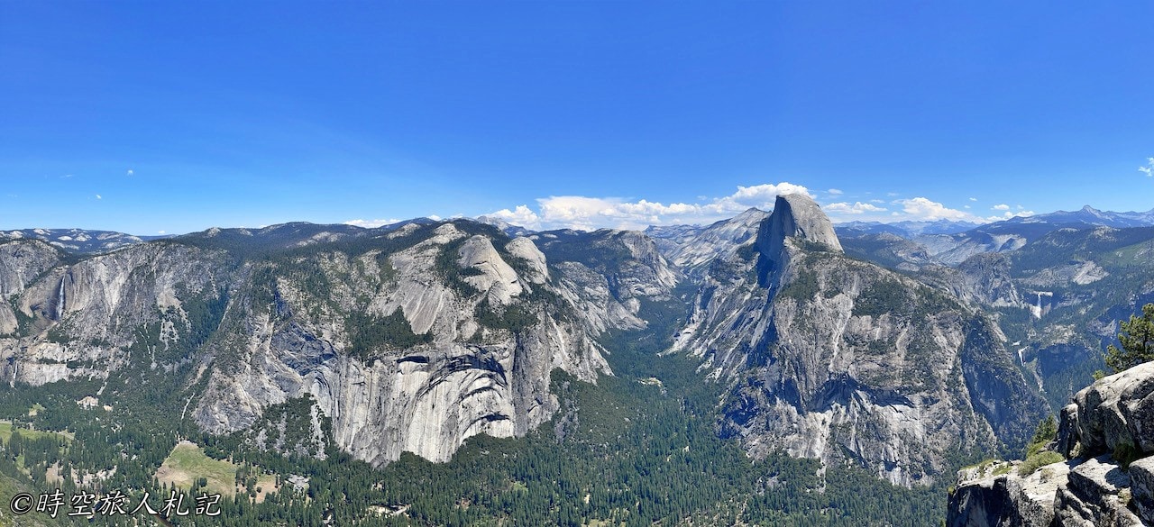
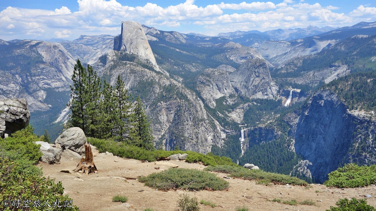
The scenery of Glacier Point is very, very spectacular. From this point in front of the Geology hut, you can see the Half dome in front of you, and at the same time, you can see the Vernal fall and Neveda fall on the right side, yes, the two waterfalls that we all went to Yosemite valley to climb the Mist trail to see.
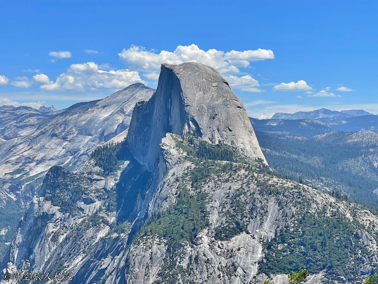
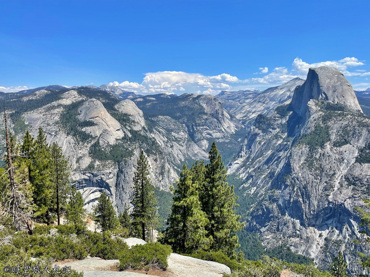
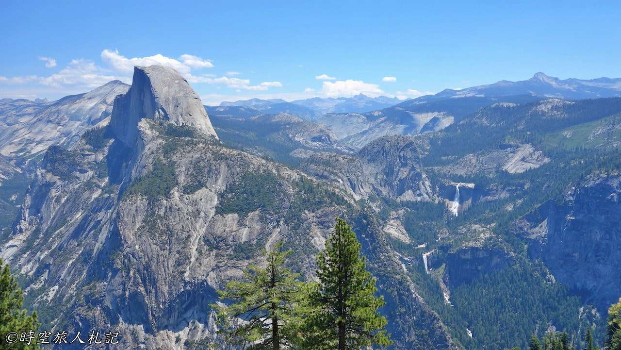
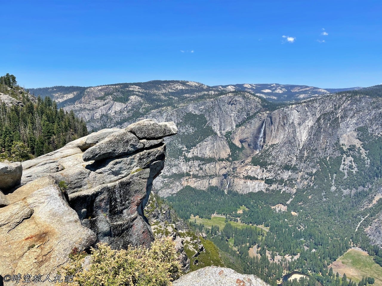
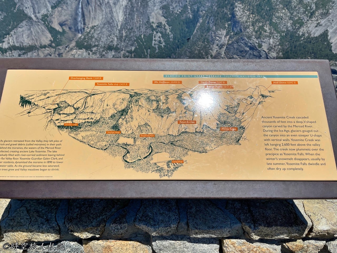
At the end of Glacier point, you can see the whole Yosemite valley at the same time, including the whole Yosemite fall, North dome, Half dome, Mirror Lake, Neveda fall and Vernal fall. After seeing the whole Yosemite, you can go home now.
Viewpoints | Washburn Point
Washburn point is a viewpoint quite close to Glacier point, mainly to see Neveda fall and Vernal fall more clearly. From this point of view, the huge glacier shape that used to be on top of the present waterfall a million years ago is also faintly visible.
Viewpoint | Taft Point
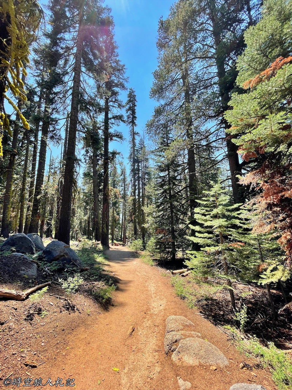
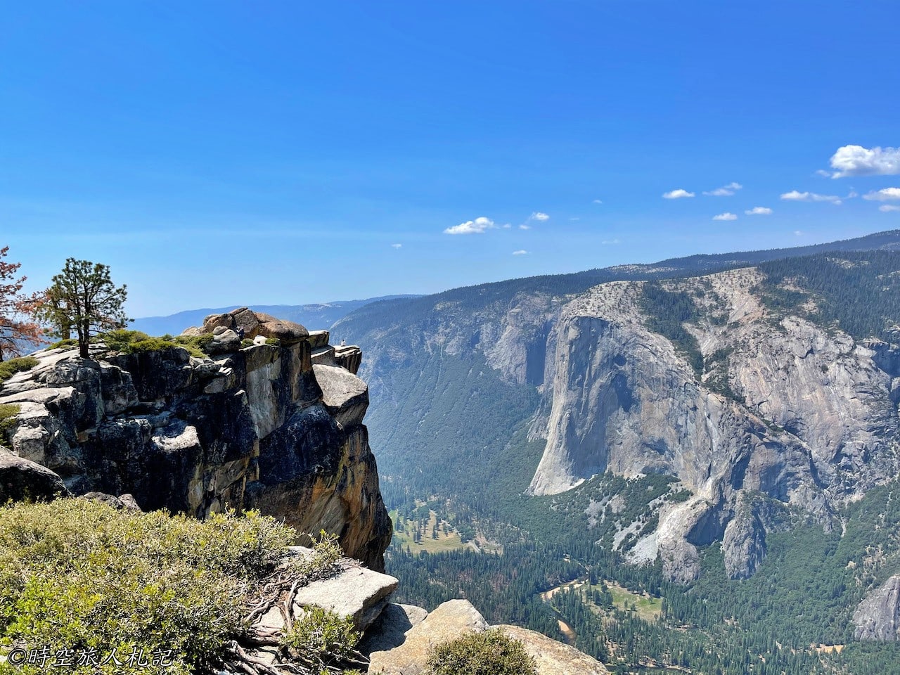
To get to Taft point, you have to take the Taft point trail, which is 2.2 miles (3.5 kilometers) round trip with a 200 ft difference in altitude, and is considered to be moderately difficult. Taft Point and Sentinel Dome share the same trail head, and you will see a signboard shortly after you walk up the trail, which says Taft Point to the left, Sentinel Dome to the right. Taft Point is to the left and Sentinel Dome is to the right. In fact, there is a loop in the middle to connect the two points, but the distance is a bit longer. There are trees all the way along the trail, it's quite comfortable.
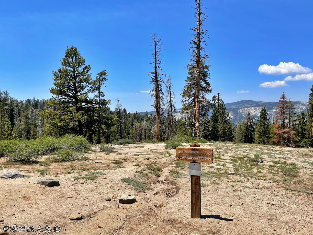
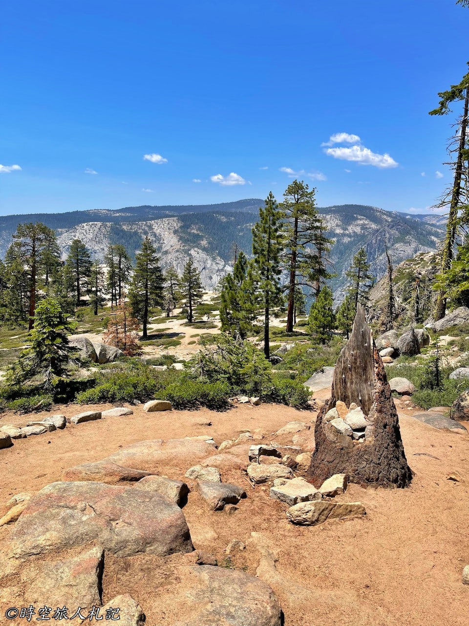
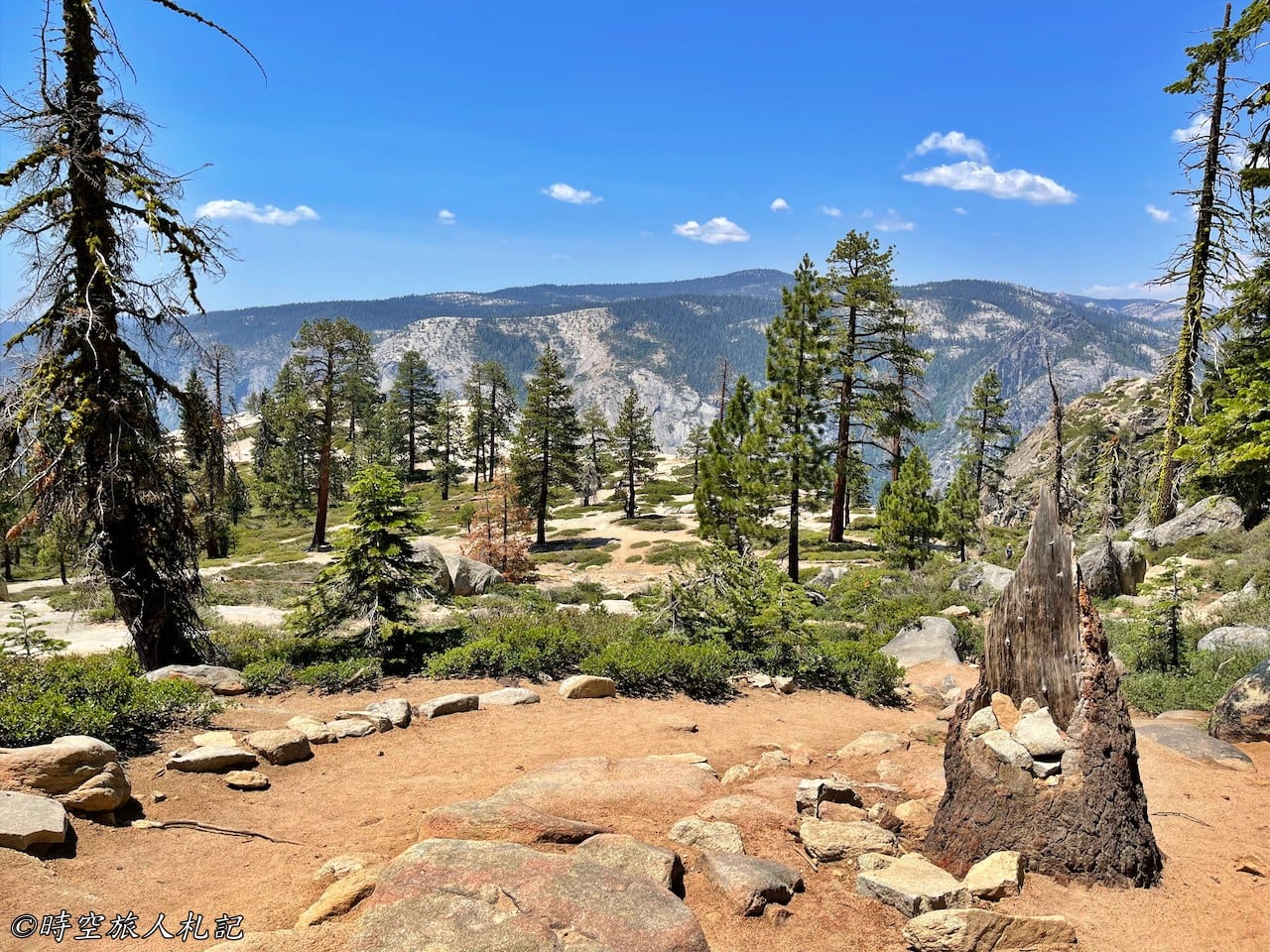
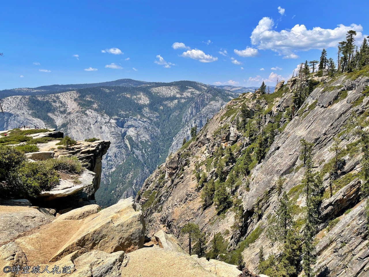
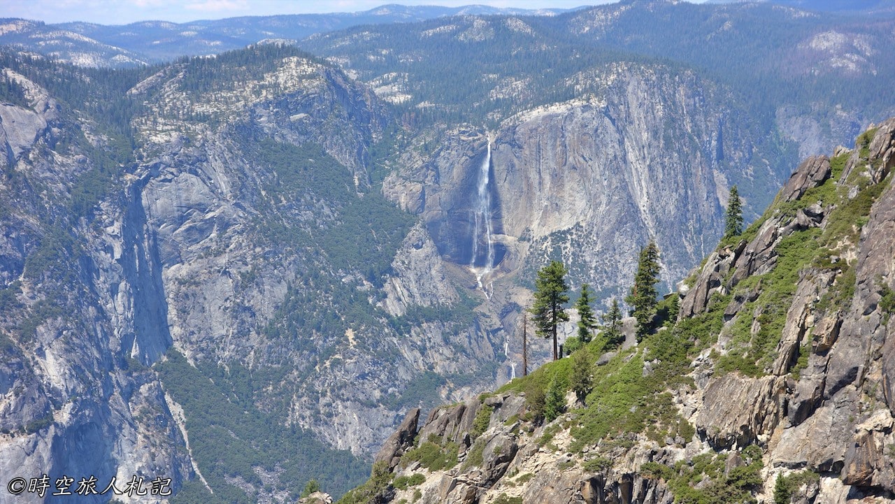
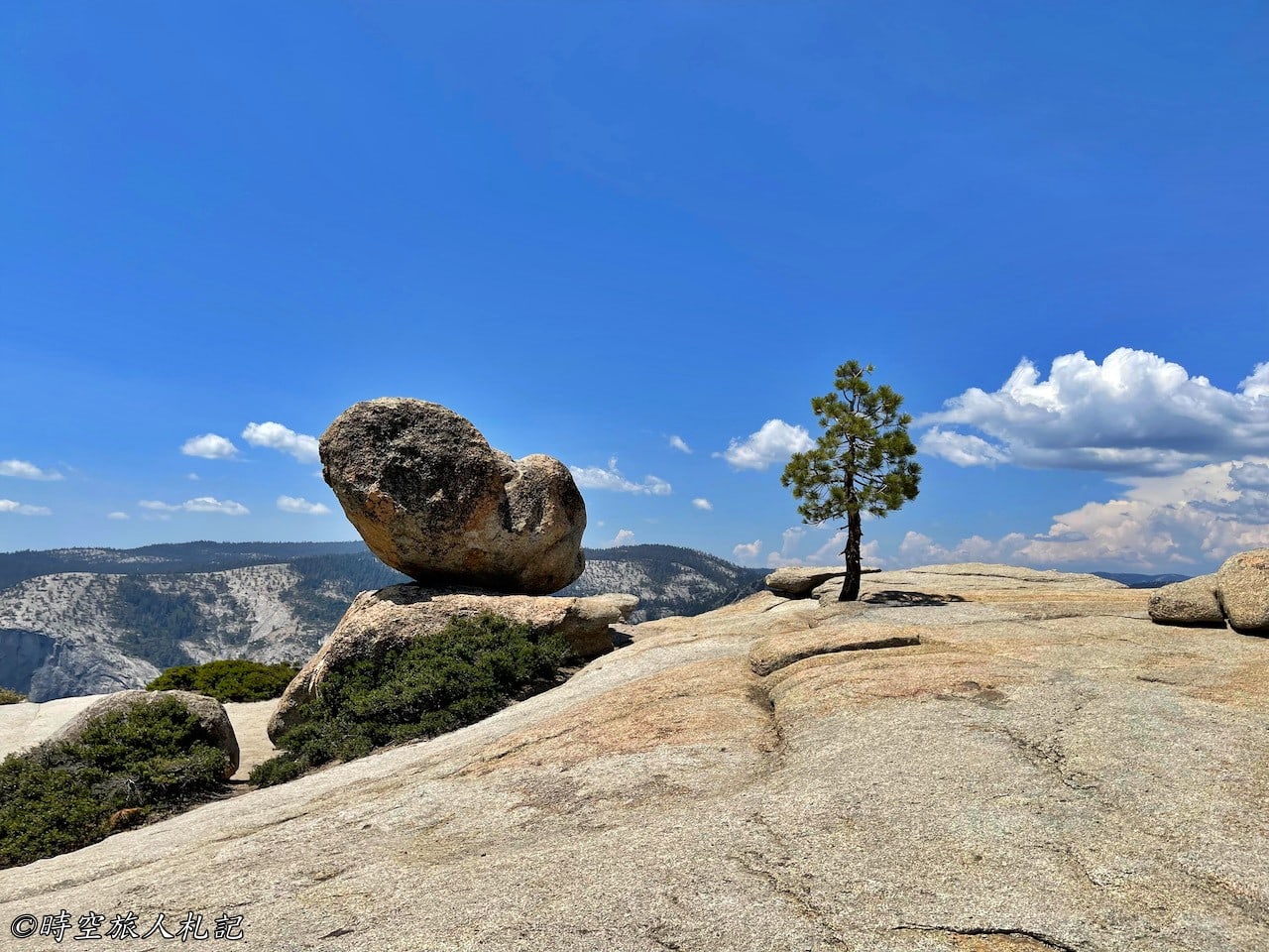
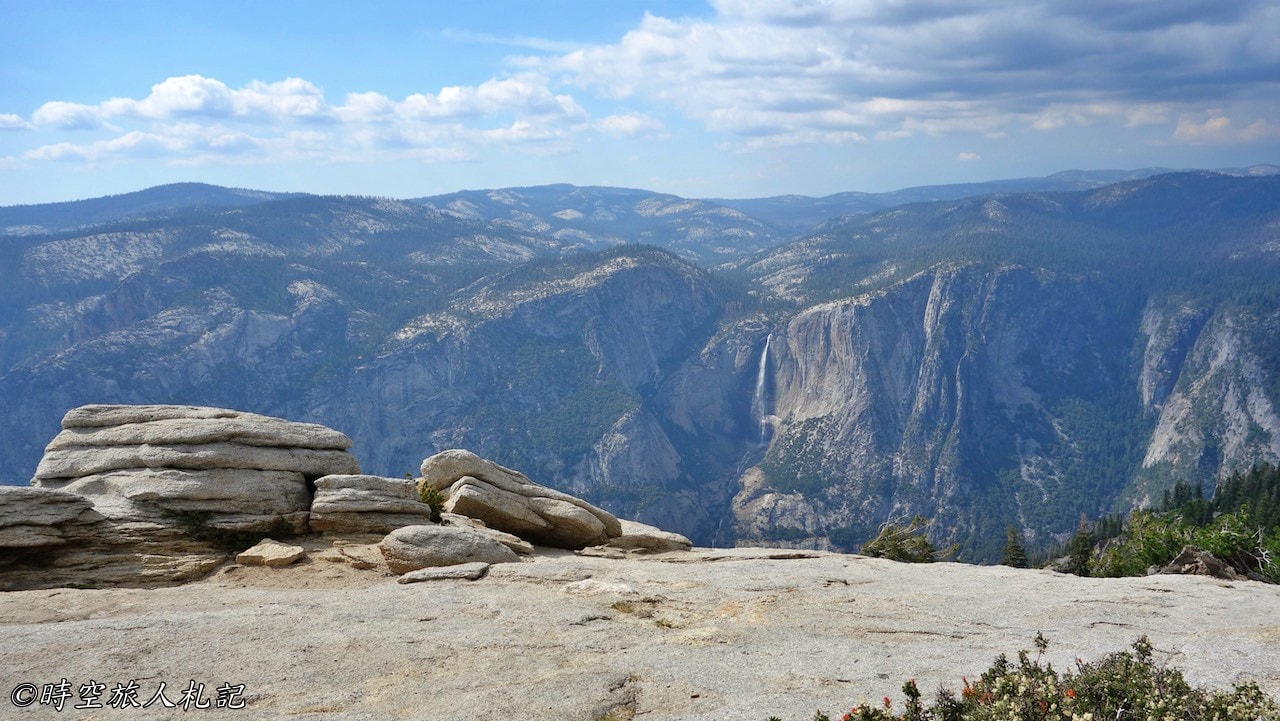
Taft Point is situated on a large granite rock, with wild squirrels tampering in the crevices of the rock. There is no rock wall in front of us, the western half of Yosemite Valley is just below the cliff, and Yosemite falls is on the right, we had a picnic here.
Recommended Trails | Sentinel Dome
Sentinel Dome trail is the most popular hiking trail on Glacier point road, it's 1.8 miles (3km) round trip and the height of ascent is 400 ft. Originally, because of the weather forecast that day said it might rain in the afternoon, we were still thinking about taking it, but in the end we were persuaded by the tourists at Taft point who said the view is better. But we were finally persuaded by the tourists at Taft point, who said that the view is better from this side.
Back to the head of the trail just now, heading for the Sentinel Dome trail. This trail is a little bit more difficult than Taft point, firstly, it is higher, secondly, there are less trees. Because it is hot to climb up to the Dome without any shade, the park's official advice is to come after sunset, and you can still see the stars at night.
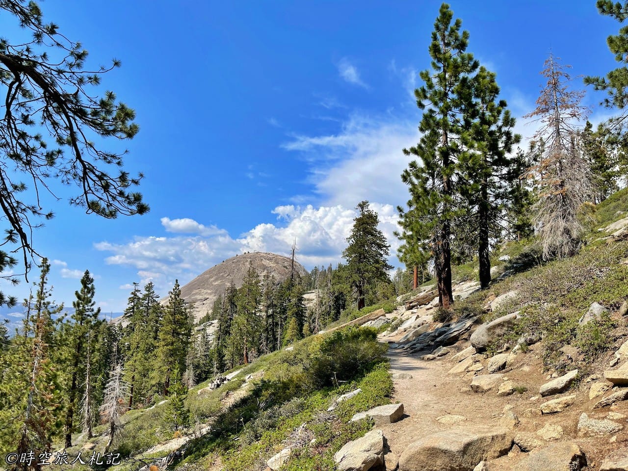
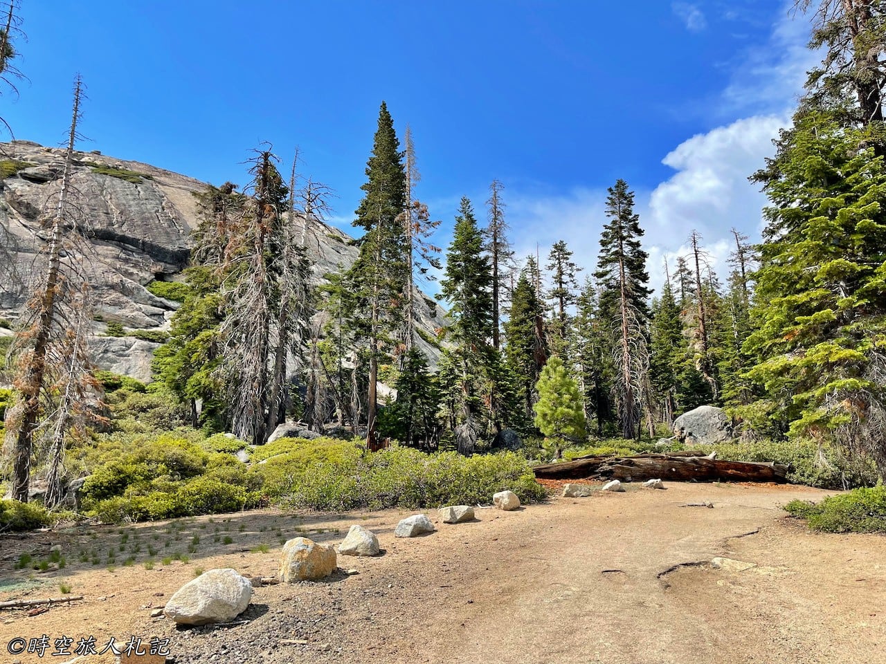
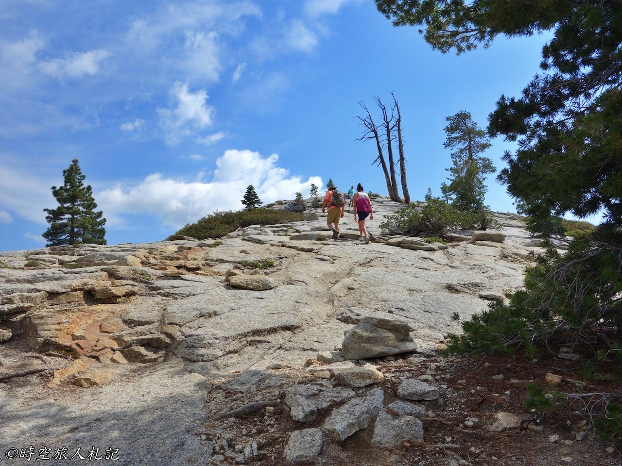
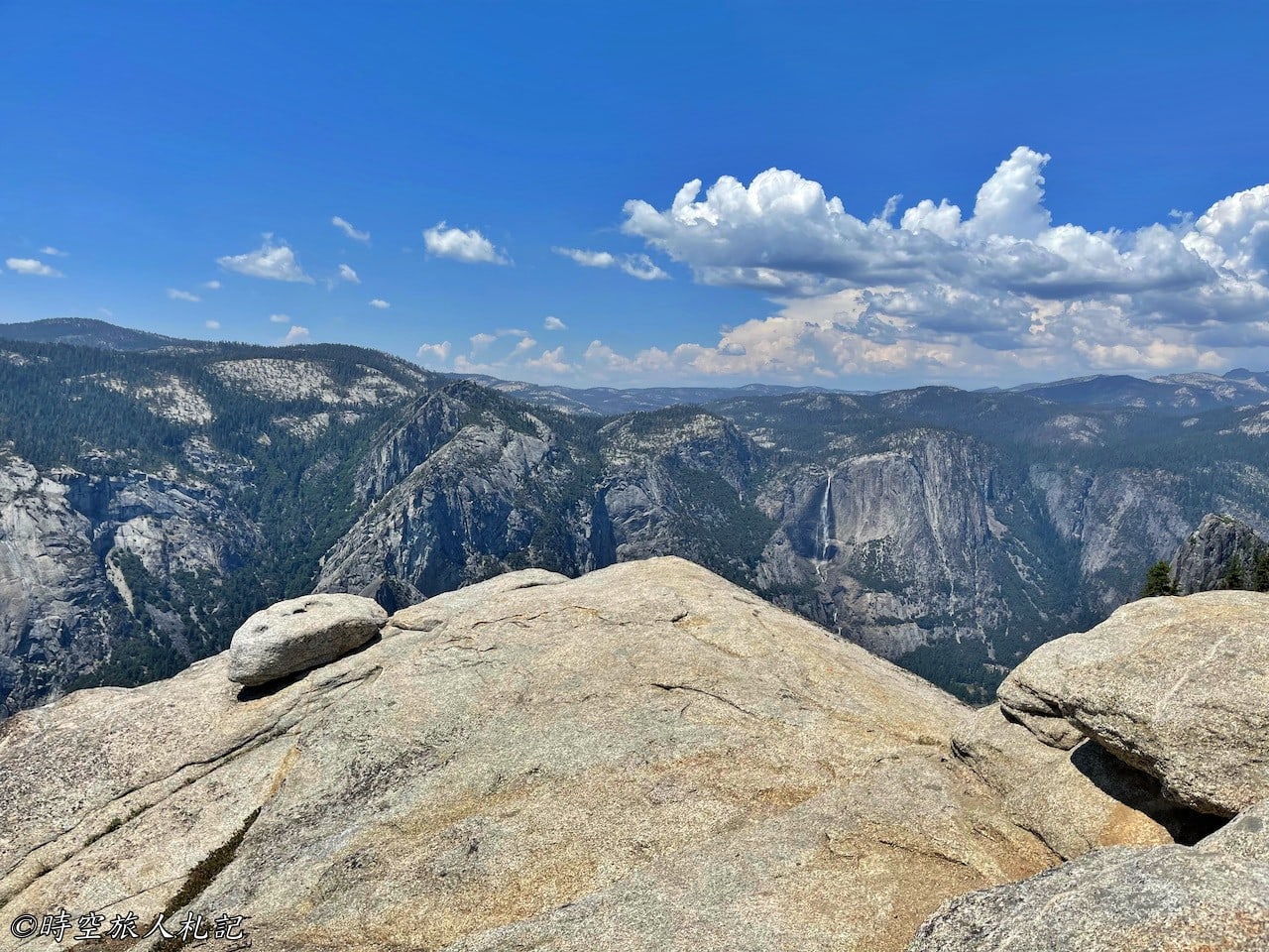
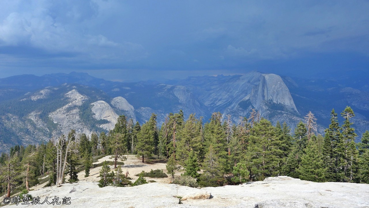
The scenery along the way is not bad. By the time we reached the top of Sentinel Dome, the weather was changing, and on top of Sentinel Dome was a 360 degree panoramic view of Yosemite falls and Half Dome.
Further reading
- Your Ultimate Guide to 3 Days in Yosemite National Park
- Yosemite Valley | Yosemite Day Trip Highlights
- Yosemite National Park] Tioga Road and Tuolumne Meadows Day Trip | Summer Camping in Yosemite National Park
- Yosemite National Park Glacier Point Road Day Trip | Yosemite National Park Must-see First Attraction
- Yosemite National Park] The Ahwahnee Accommodation Tips
Thank you for visiting our website.
All the content on this site is original and shared with the purpose of providing valuable information. We sustain the operation of this site through a small amount of advertising and sponsored links. If you click on links to third-party merchants on our site and make purchases, we may receive a portion of the sales as a commission. If you click on links to third-party merchants on our site and make purchases, we may receive a portion of the sales as a commission.
Find more posts on a map Here.
My recommended resources for hotel bookings.
Recommended travel credit card for US-based travelers
Travel with just a backpack!
Buy me a coffee and support my contents!
If you are interested in quoting this article or using any part of its content and images on your website or publication, please contact us via email to request permission.