Contents
Colorado National Monument | Introduction
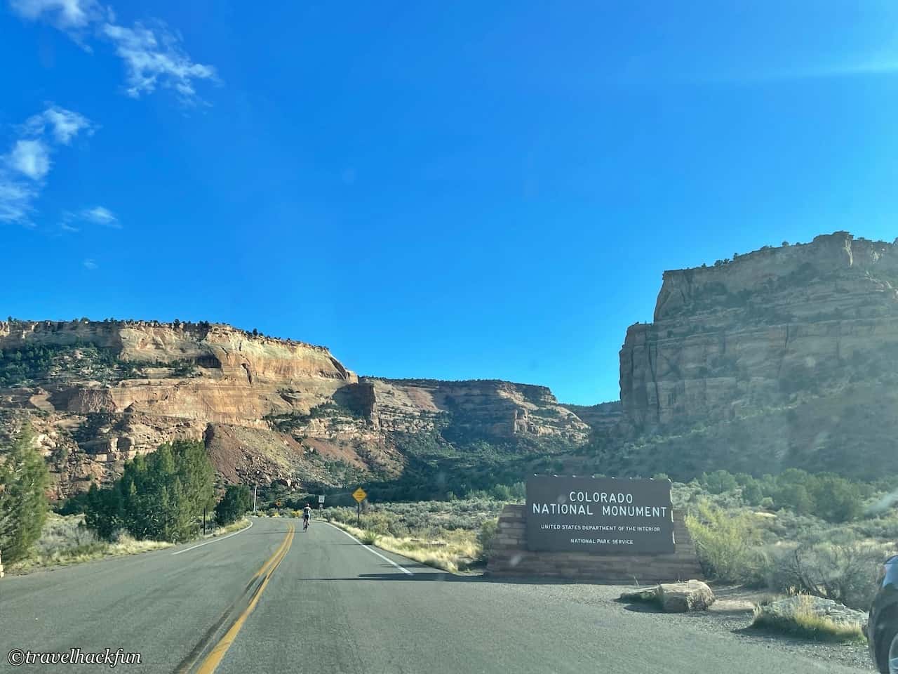
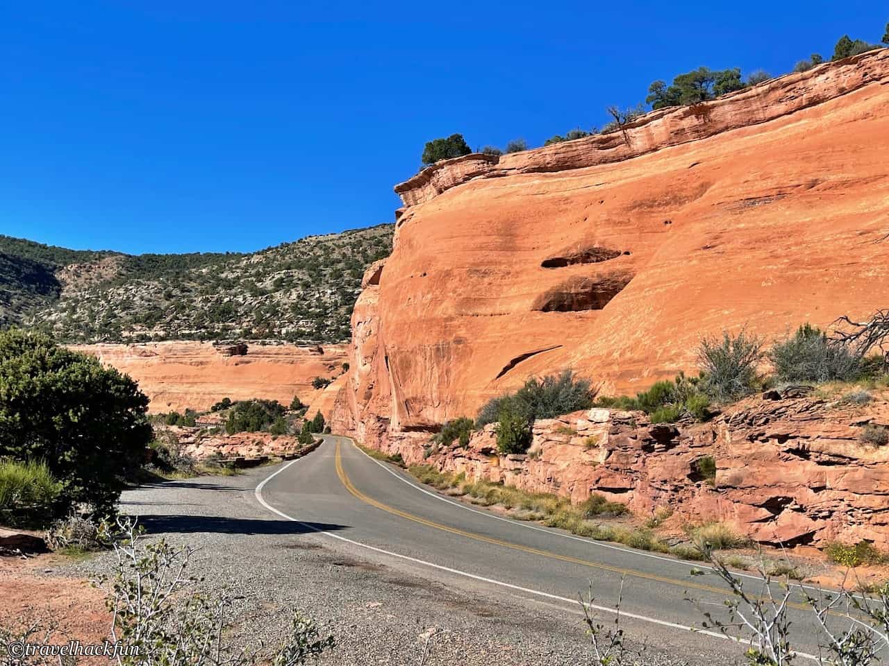
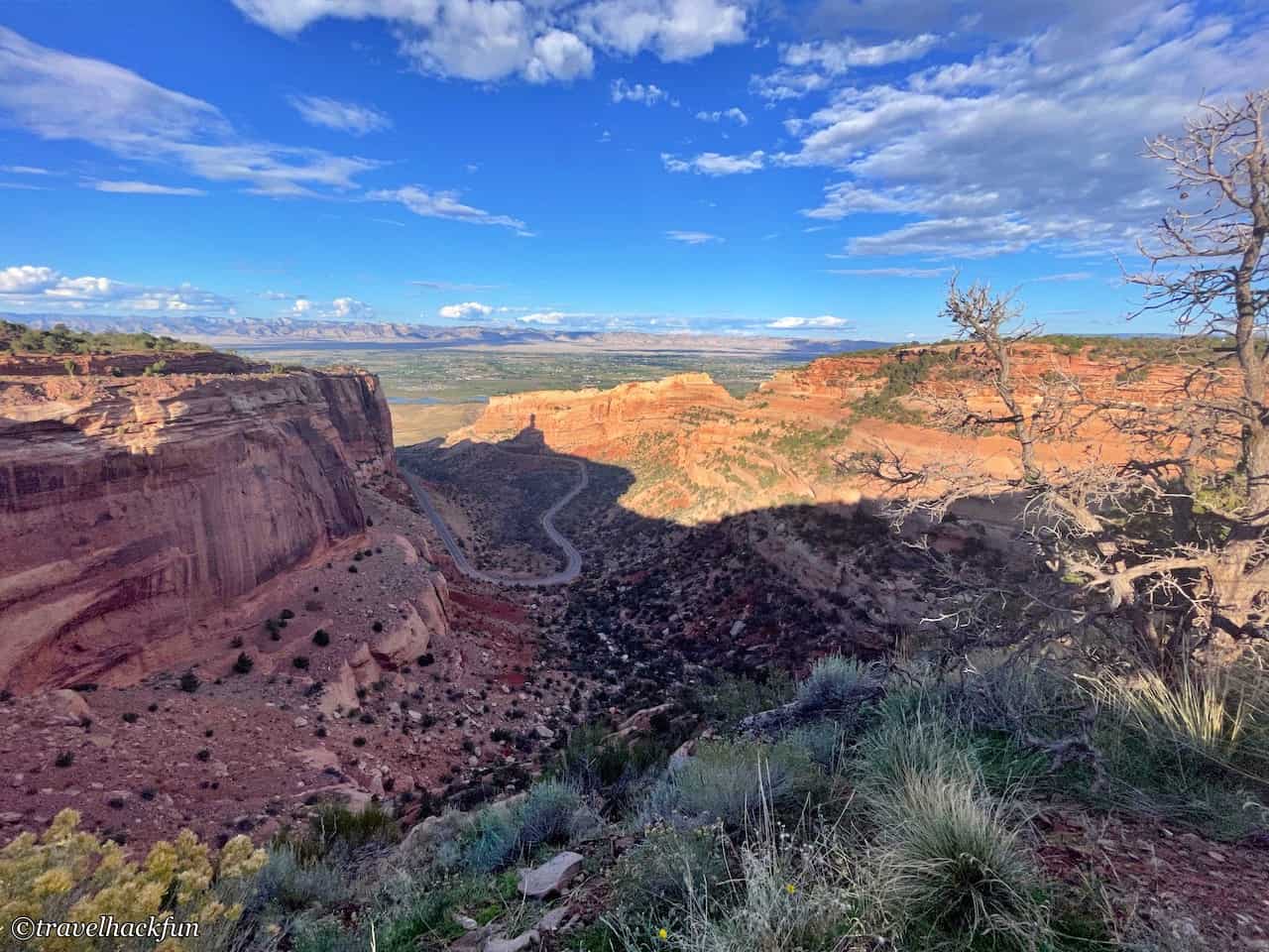
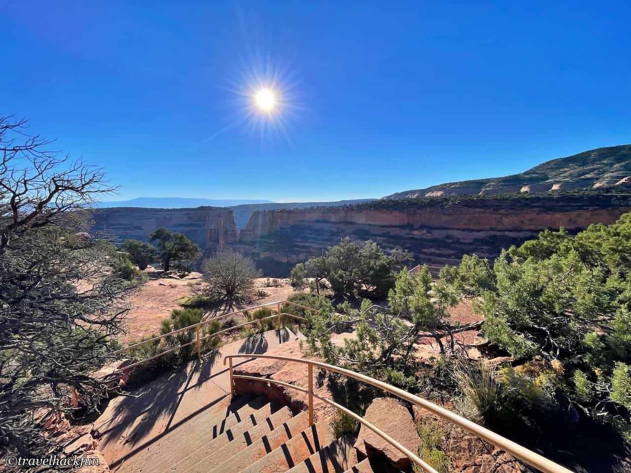
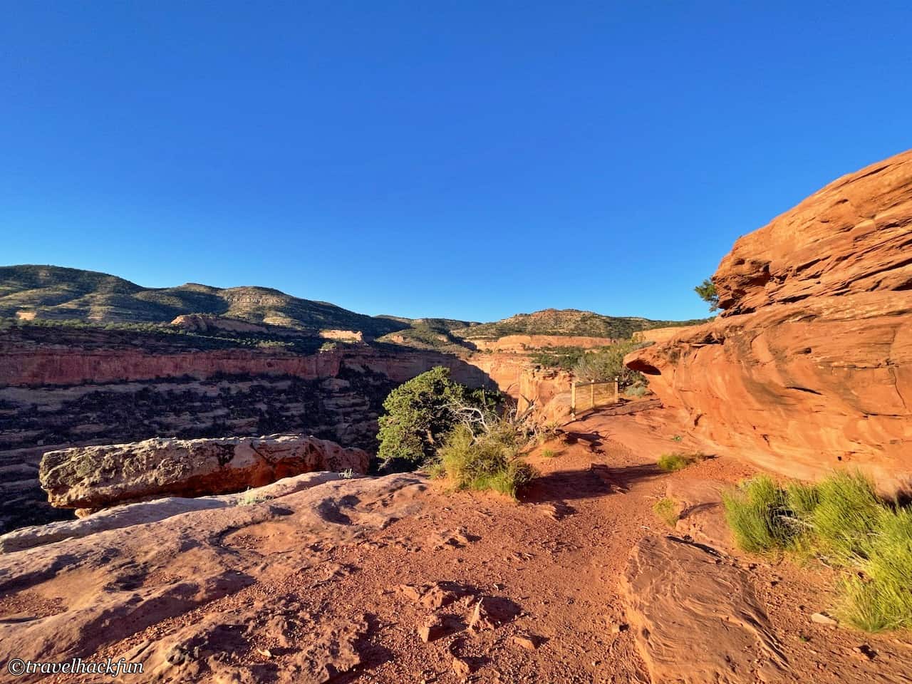
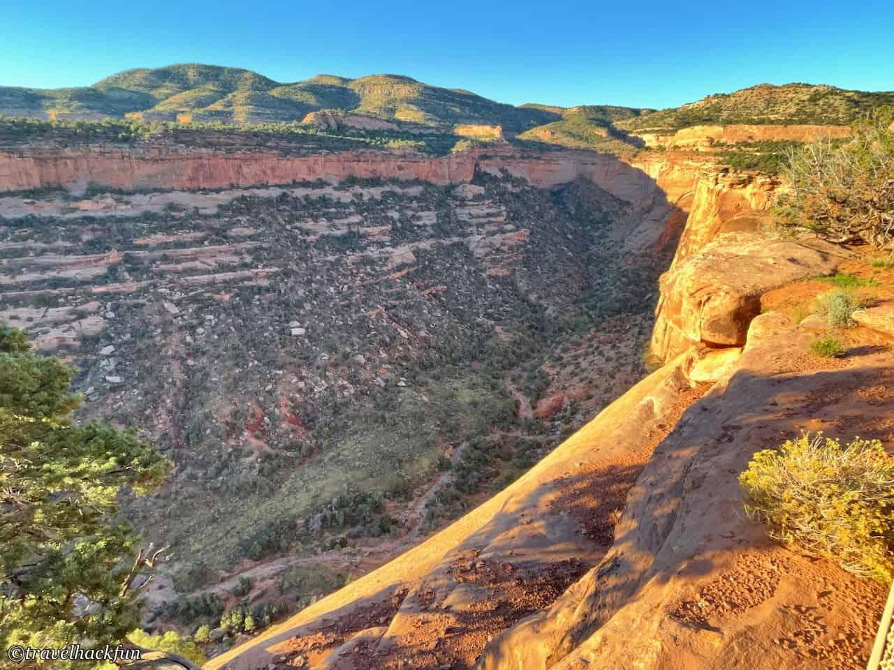
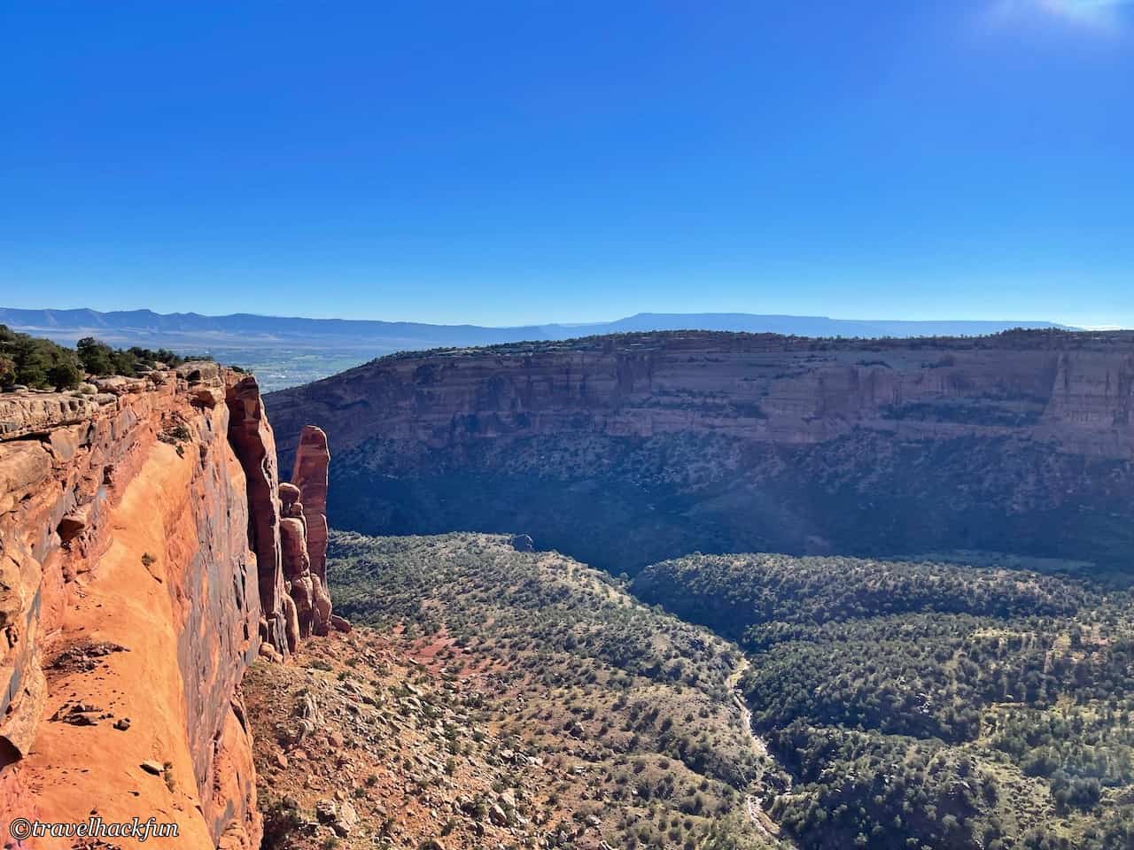
Colorado National Monument is located in the western part of Colorado and features immense, steep canyon walls with breathtaking scenery. The park has a simple route system, with just one scenic road, Rim Rock Drive, connecting all the viewpoints and trails. The west exit of the road leads to Fruita, while the east exit leads to Grand Junction.
Although it is a three and a half hour drive from Denver, not many people usually come here. Actually, the scenery here is absolutely worth the three-hour journey. The park's main signature scenery is the group of bizarrely shaped giant rocks in the canyon. It is said that the first generation park manager, John Otto, fell deeply in love with this scenery since he arrived here in 1907 and decided to dedicate his life to this beautiful landscape, determined to make this land a national park. Since then, he stayed here, camping every day and building trails on his own. He even got married here. Such dedication was very remarkable in those days, especially considering that before Rim Drive was excavated, this place could only be reached on foot.
With Rim Rock Drive, now if we just drive through, it only takes an hour to get from the west entrance to the east entrance, and we can tour the area in just half a day. There are also several cities nearby, making accommodation convenient. You can plan a weekend trip with other nearby national protected areas, such as the Black Canyon of the Ancients.
Colorado National Monument | Lodging
If you want to stay within Colorado National Monument, Saddlehorn Campground is the only option for camping. Outside the park, Colorado National Monument is located between Grand Junction and Fruita. For nearby accommodations, Grand Junction offers the most lodging options.
Find a stay in Grand Junction:
Camping Review | Saddlehorn Campground
- Comfort: ⭐️⭐️⭐️⭐️
- Space: ⭐️⭐️⭐️⭐️⭐️
- Facility Cleanliness: ⭐️⭐️⭐️⭐️⭐️
- Convenience: ⭐️⭐️⭐️⭐️⭐️
- Overall Rating: ⭐️⭐️⭐️⭐️⭐️
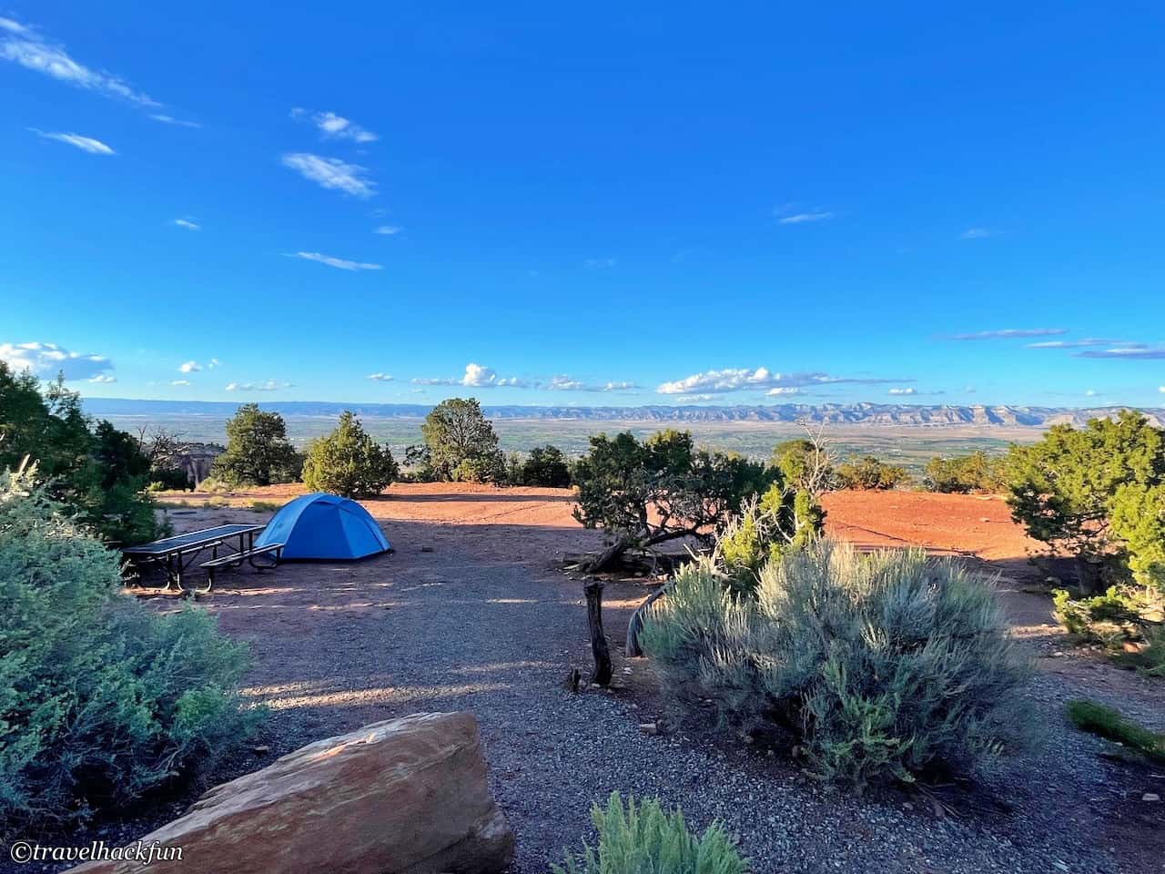
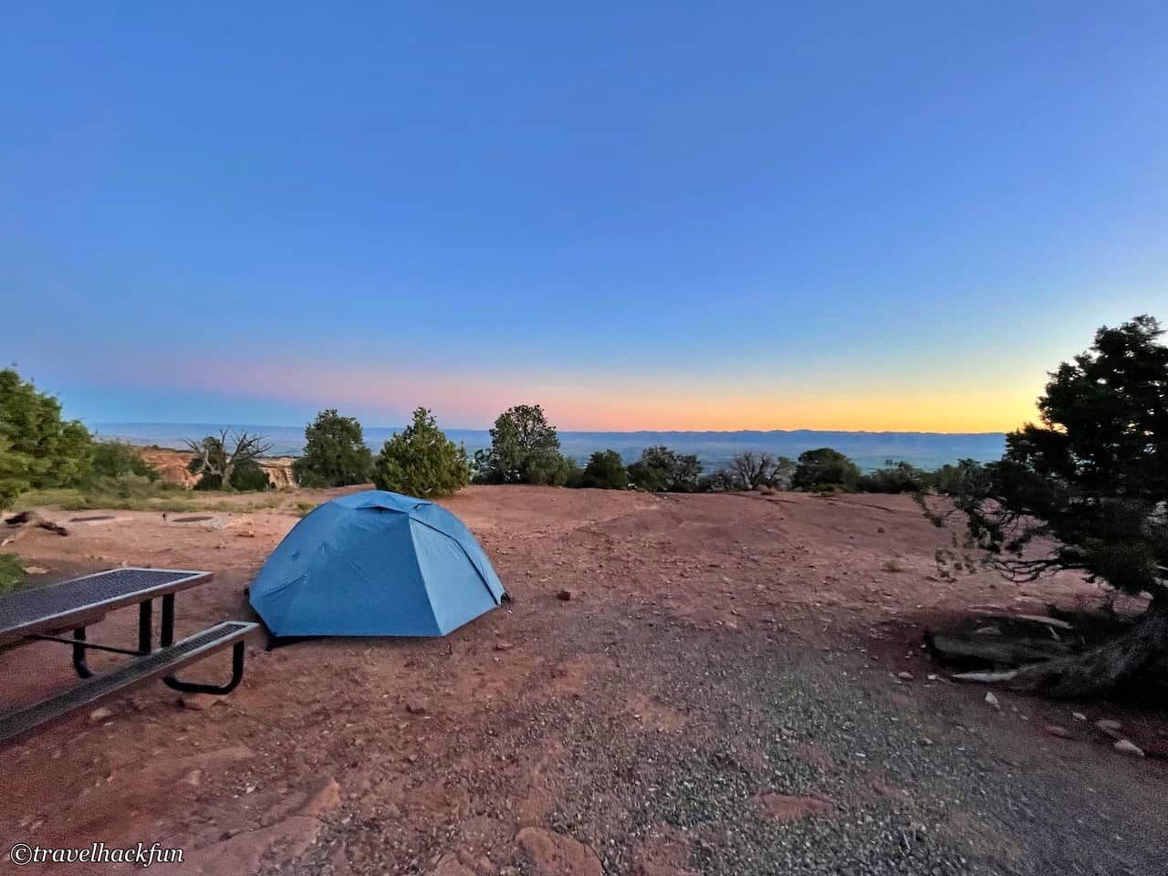
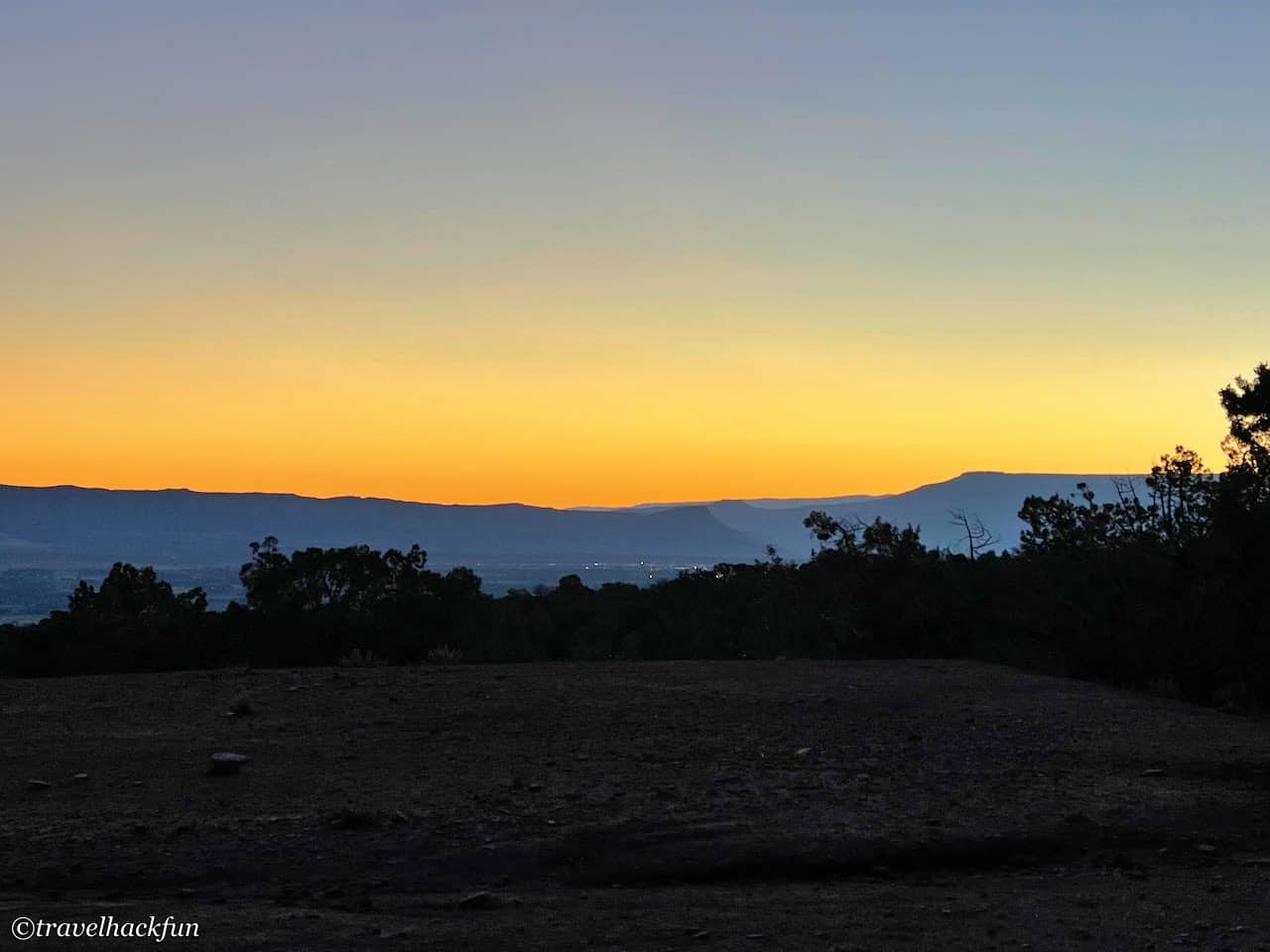
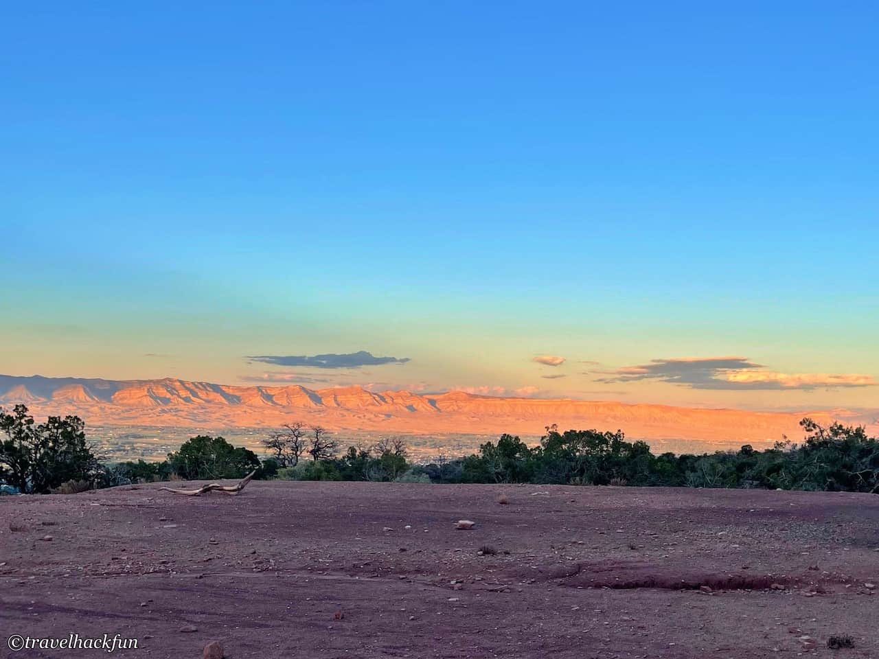
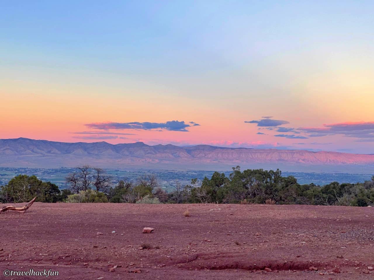
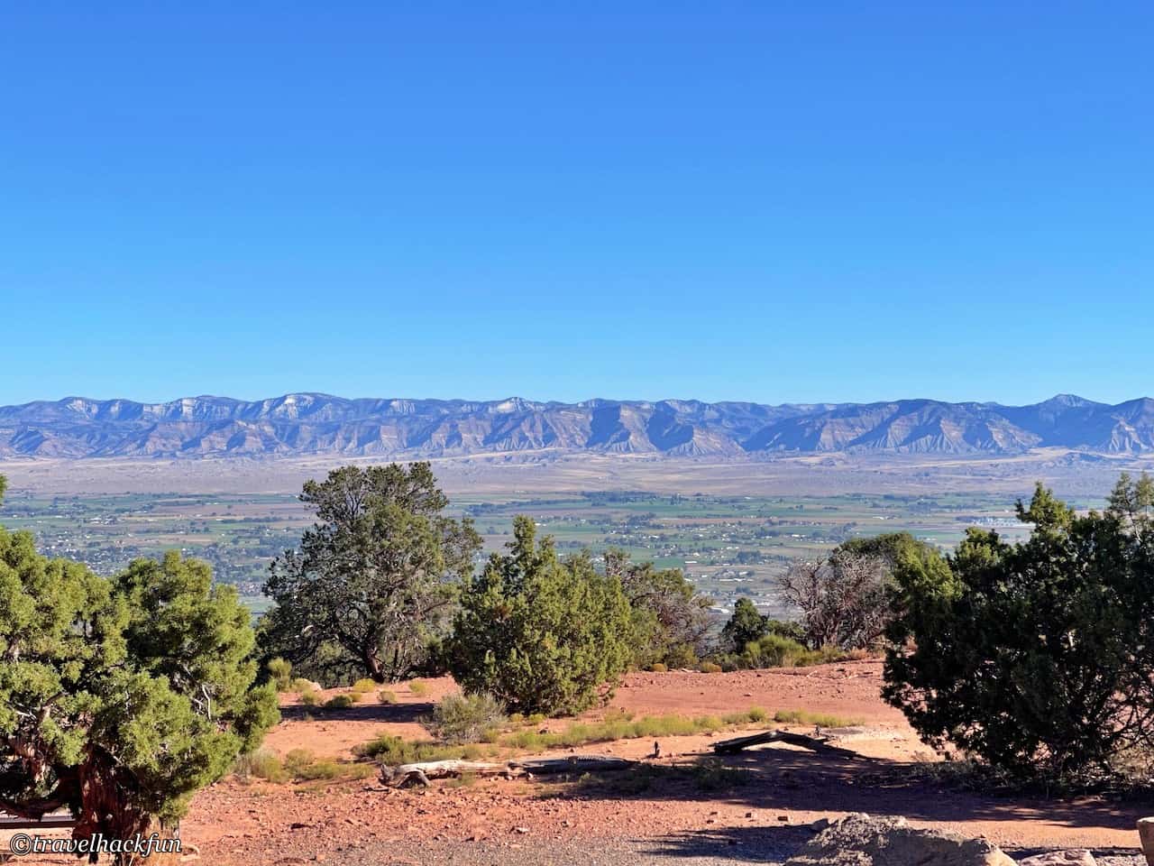
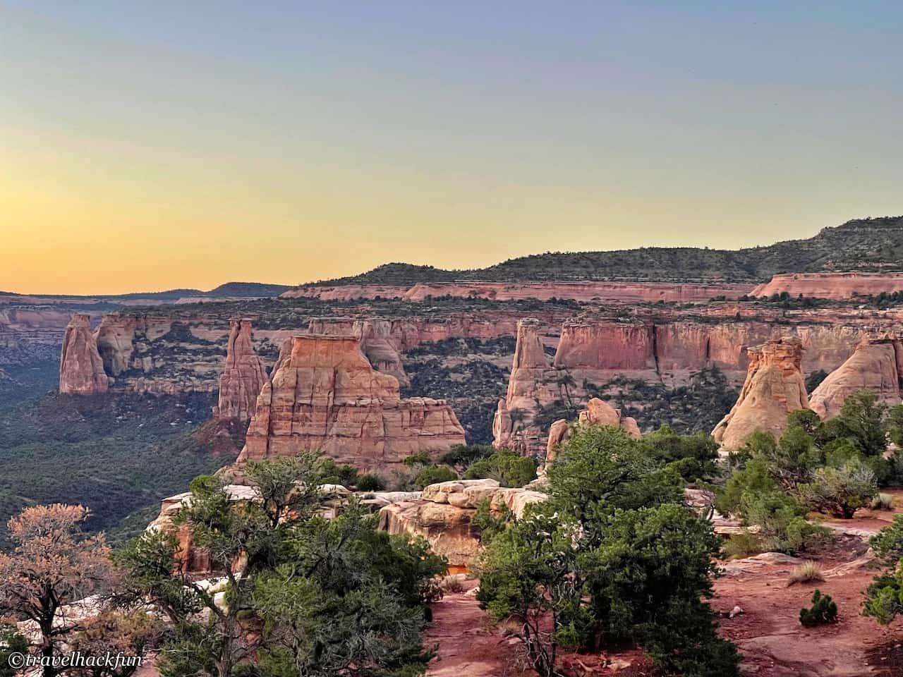
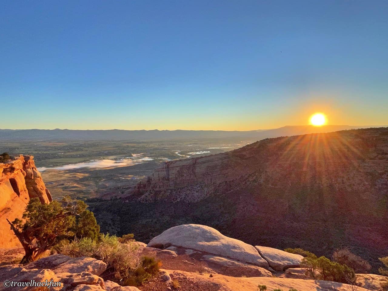
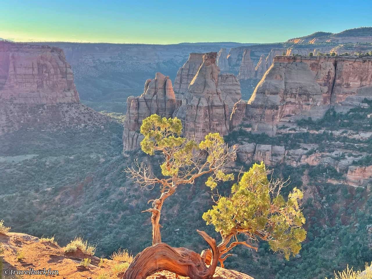
Saddlehorn Campground is open year-round, and the price is $22 per night, which is the national park rate. I really like this campground because it is located at the heart of the park. From your own campsite, you can directly sit and view Book Cliffs and Grand Mesa, sometimes even closer than many scenic viewpoints along the road. The scenery at sunset is especially beautiful, with the canyon displaying purplish-red hues during twilight. It is also very convenient for watching the sunrise, as it only takes one minute to drive to the Book Cliffs View Overlook. The campground space is unexpectedly large, almost like a group site, and the facilities are all quite clean. It is only 4 miles from the west entrance, so if you want to dine in nearby towns, it is fairly convenient.
Colorado National Monument | Attractions & Recommended Trails
Rim Rock Drive connects all the attractions and trails, spanning 23 miles. By following this road, you can start from the low area of the Grand Valley where the Colorado River flows through and then wind upwards into the park, passing by all the attractions and trailheads. This scenic road was constructed by the CCC (Civilian Conservation Corps) during Roosevelt's era in 1933 to create jobs. The construction process was extremely arduous. As you travel along this road, you can also take a moment to appreciate the efforts of those who came before.
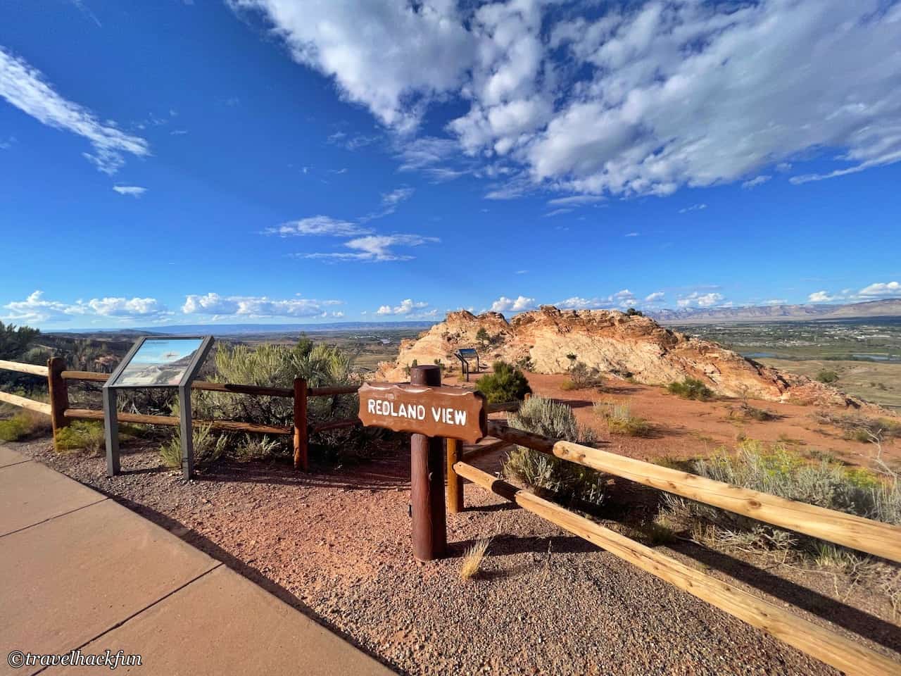
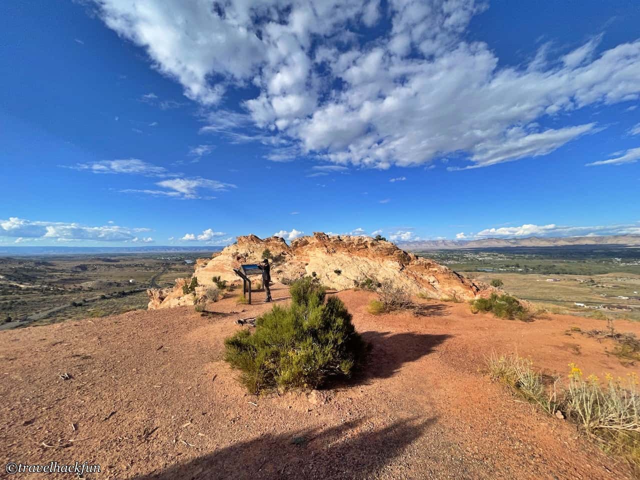
Red Land View
If you enter from the west entrance, the first stop is Red Land View. From here, you can see the red soil fault, with the rock walls on both sides of the Colorado River made of red sandstone.
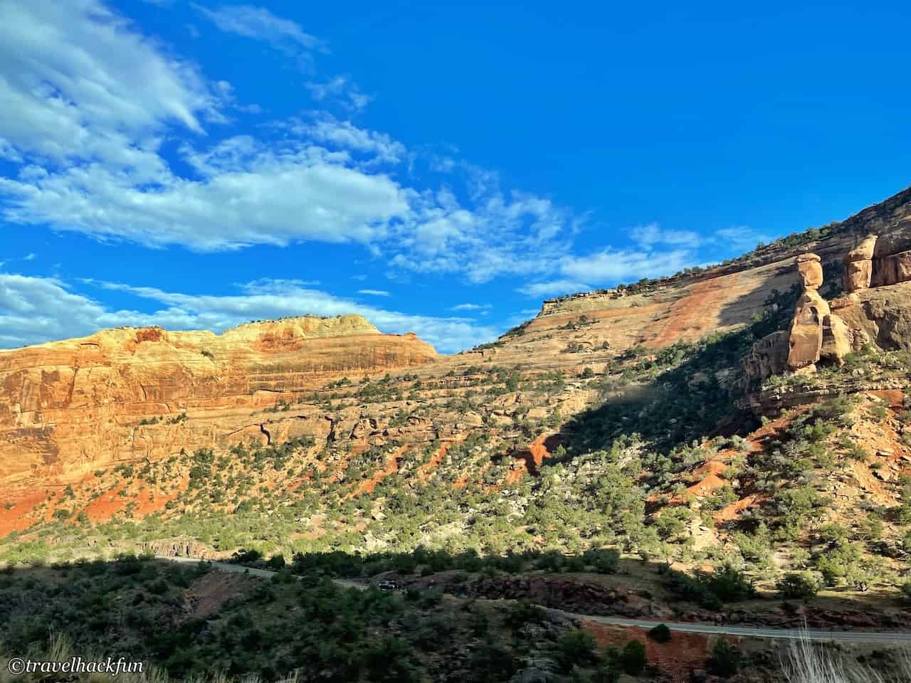
Balanced Rock
Balanced Rock looks a bit like a person standing next to a cliff. The rocks here are sandstone, different from the red sandstone in the front. The part that looks like a human head is said to weigh 600 tons.
Historic Trail
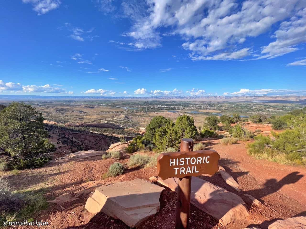
Historic Trail is an ancient shepherd's path. In the past, shepherds would drive their sheep across such steep cliffs to get down to the plains below, then cross the Colorado River during seasonal changes. If you walk to the edge of the cliff, you can still see the stone steps they used.
Distant view
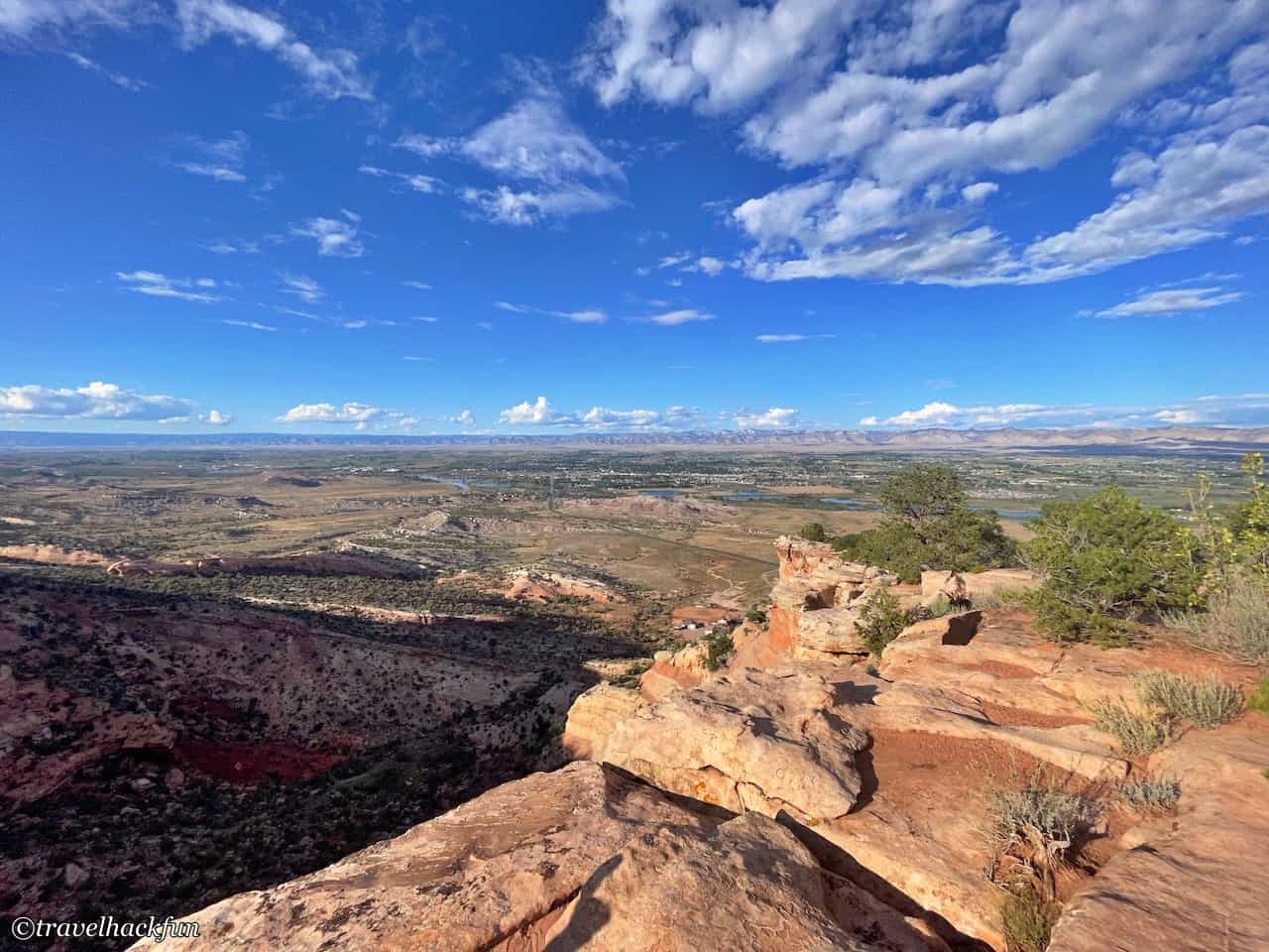
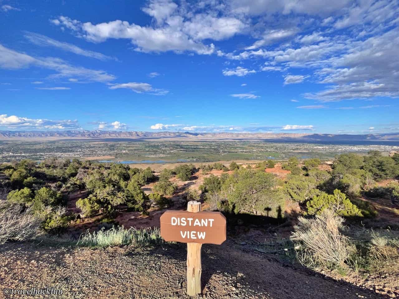
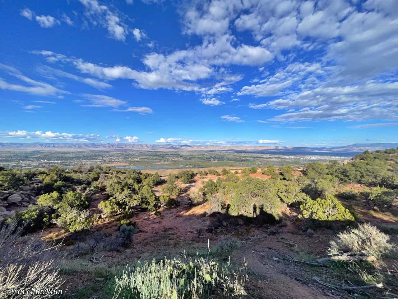
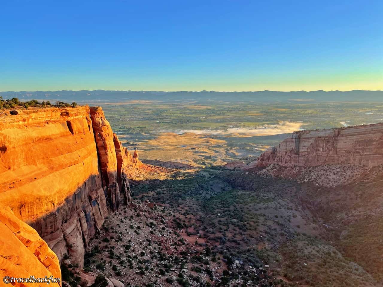
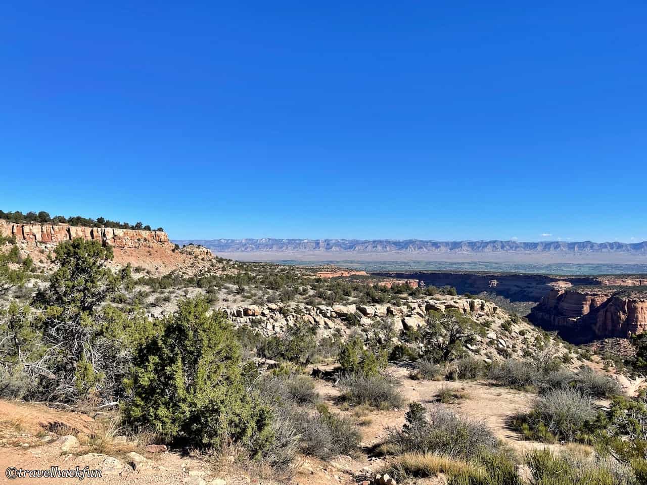
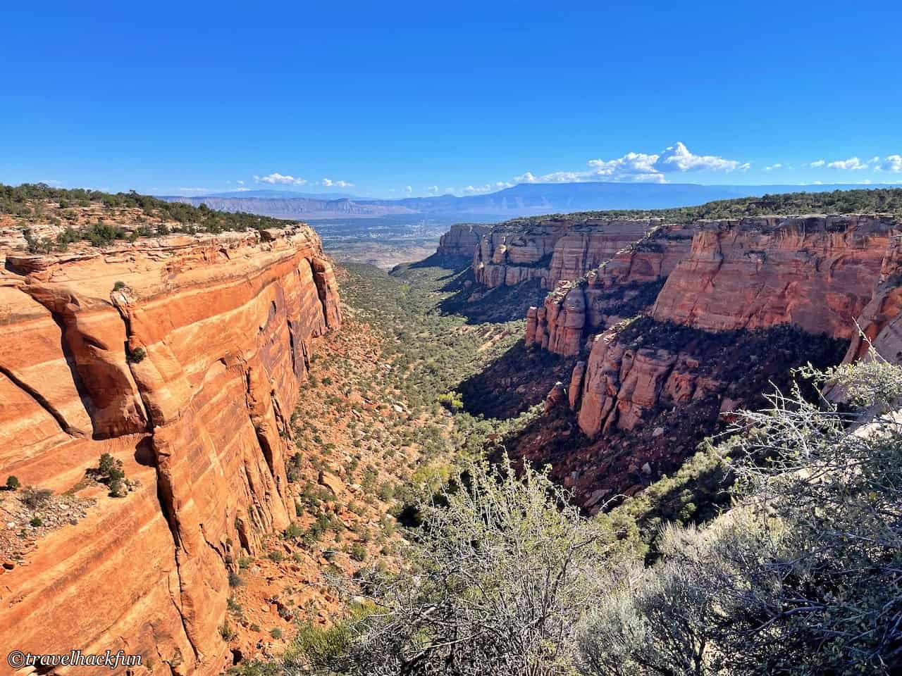
Distant View faces the east, where we can overlook Grand Valley in its entirety. In the distance, you can see the Book Cliffs, with the Colorado River and Grand Mesa in between, unimpeded by any obstacles. Here, one can truly appreciate the wonders of nature. The area between our current location and the distant Book Cliffs used to be flat land but has now transformed into the vast, flat, and green Grand Valley. In contrast to the deep canyon terrain of the Grand Canyon, the same Colorado River encountering different geological conditions can result in such markedly different landscapes.
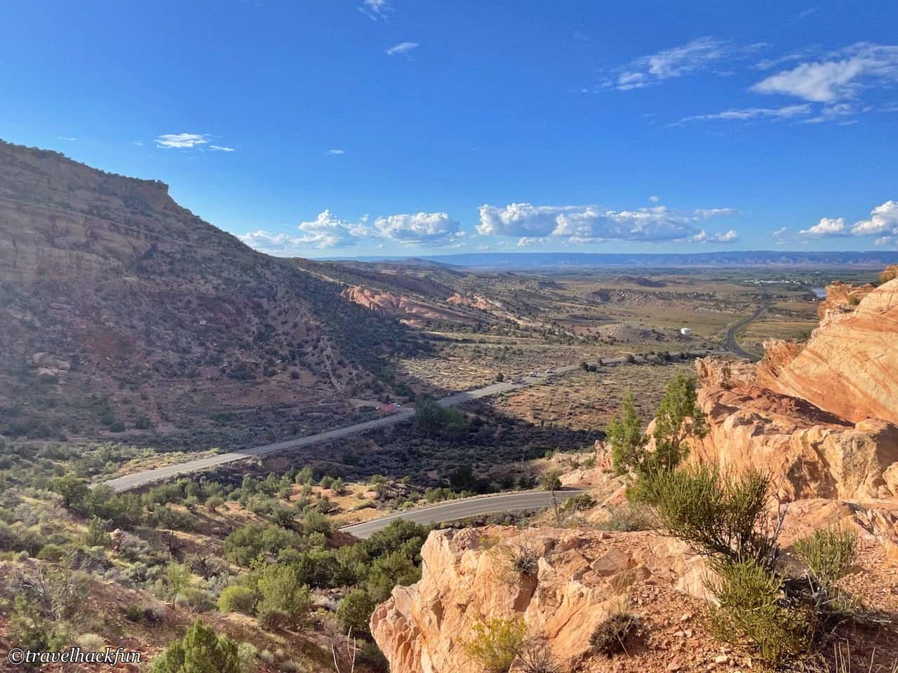
Fruita Canyon View
What we see here, the winding road, is Rim Rock Drive. If you enter from the western entrance, this viewpoint is the most spectacular before you reach the visitor center. It turns out we have already ascended to such a high altitude.
Book Cliffs View | Window Rock Trail | Canyon Rim Trail
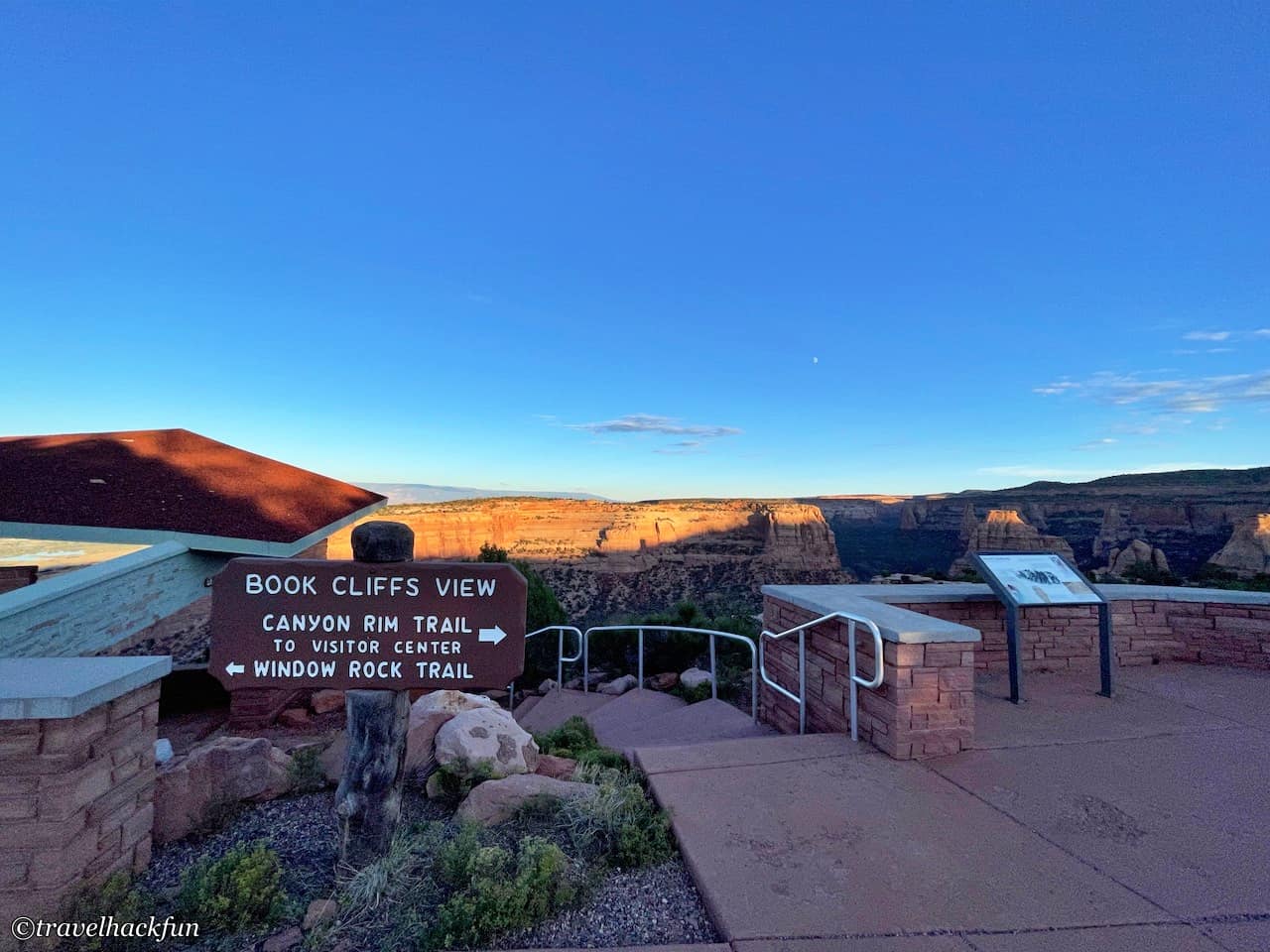
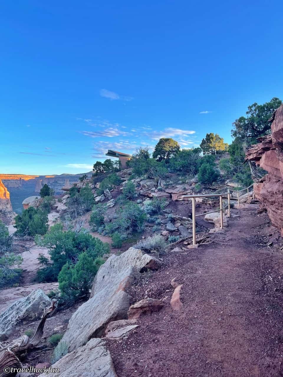
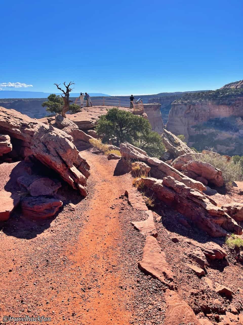
If you start from the visitor center, the Canyon Rim Trail and Window Rock Trail can be connected for a combined walk. Along the way, you will pass by the Book Cliffs View, which is built into the mountain wall. The round trip is a total of 1.5 miles and takes about one hour. This area is a must-stop because the highlights of the Colorado National Monument, the Wedding Canyon rock formations, are located here. For those who don't have time to complete the entire trail, you can drive directly to the parking lot next to the Book Cliffs View. From there, to the left is the Window Rock Trail and to the right is the Canyon Rim Trail.
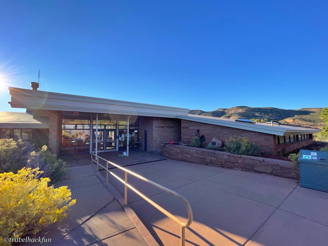
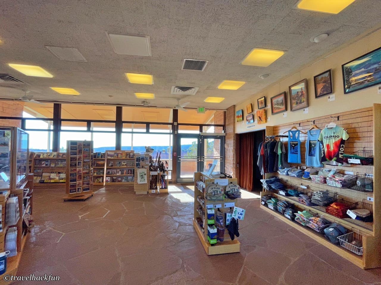
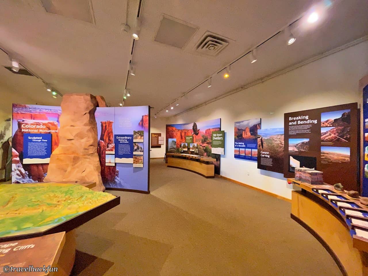
If you have time, you can take a stroll around the visitor center to get acquainted with the scenery you will be seeing later.
Canyon Rim Trail
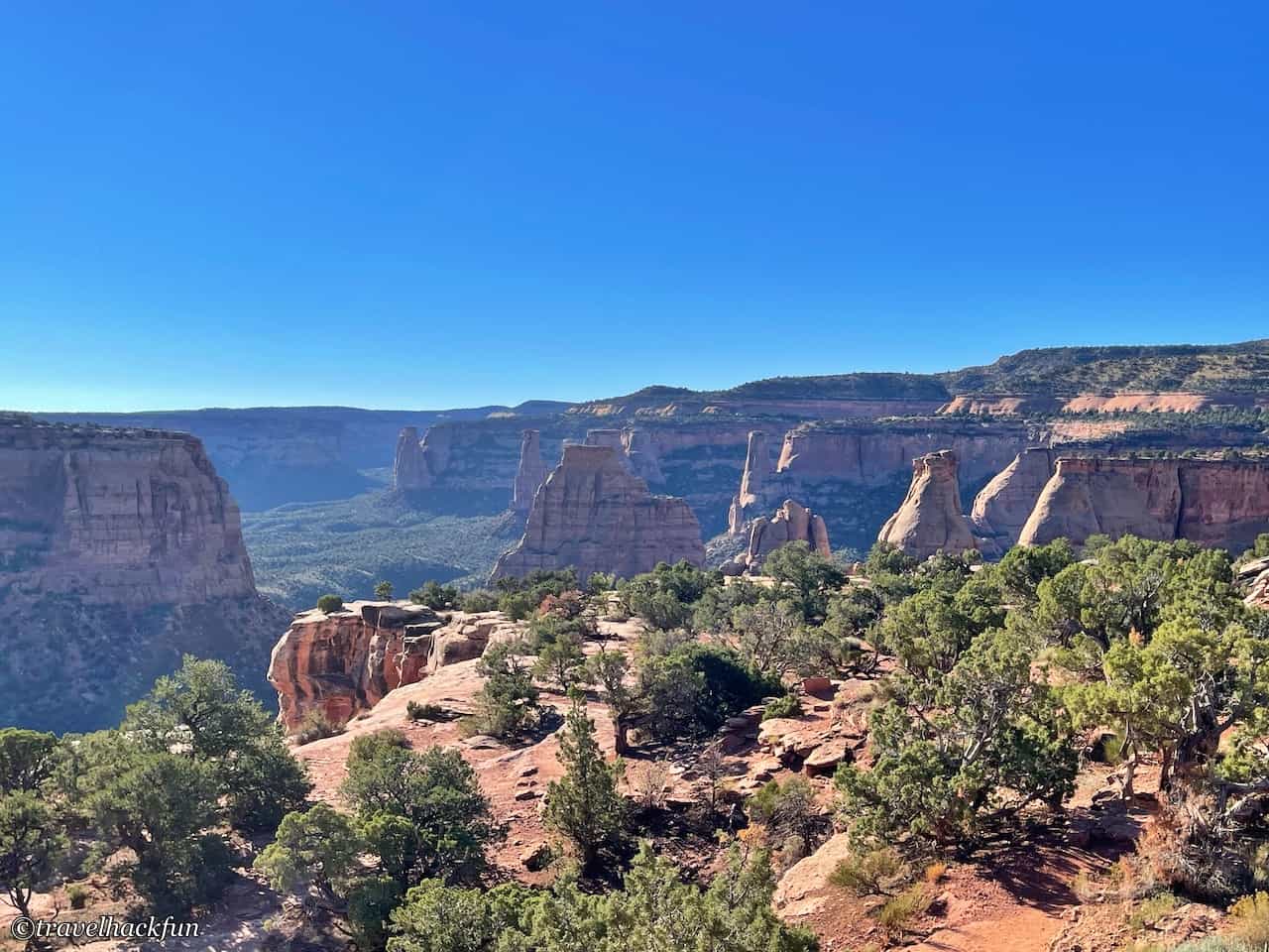
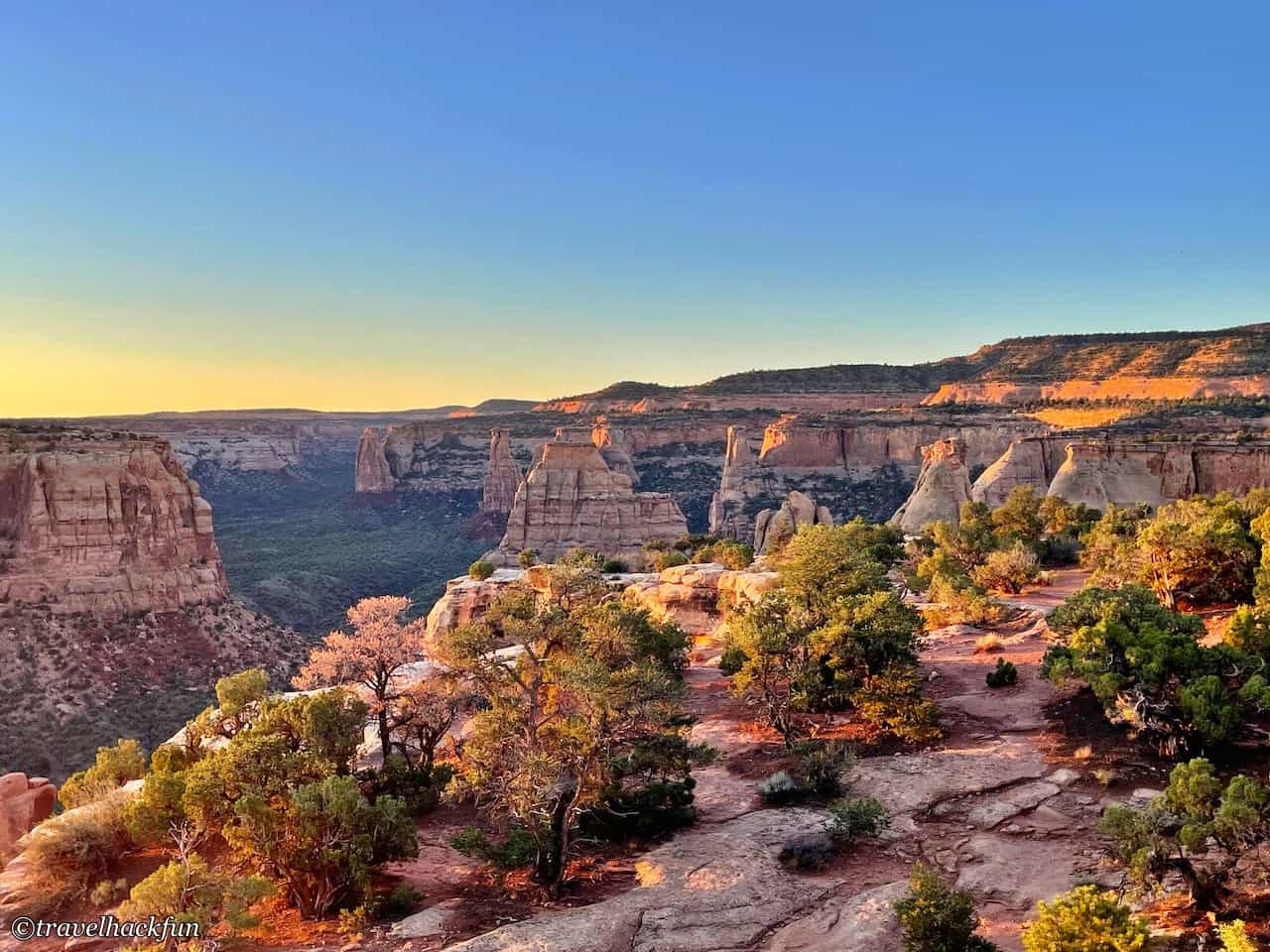
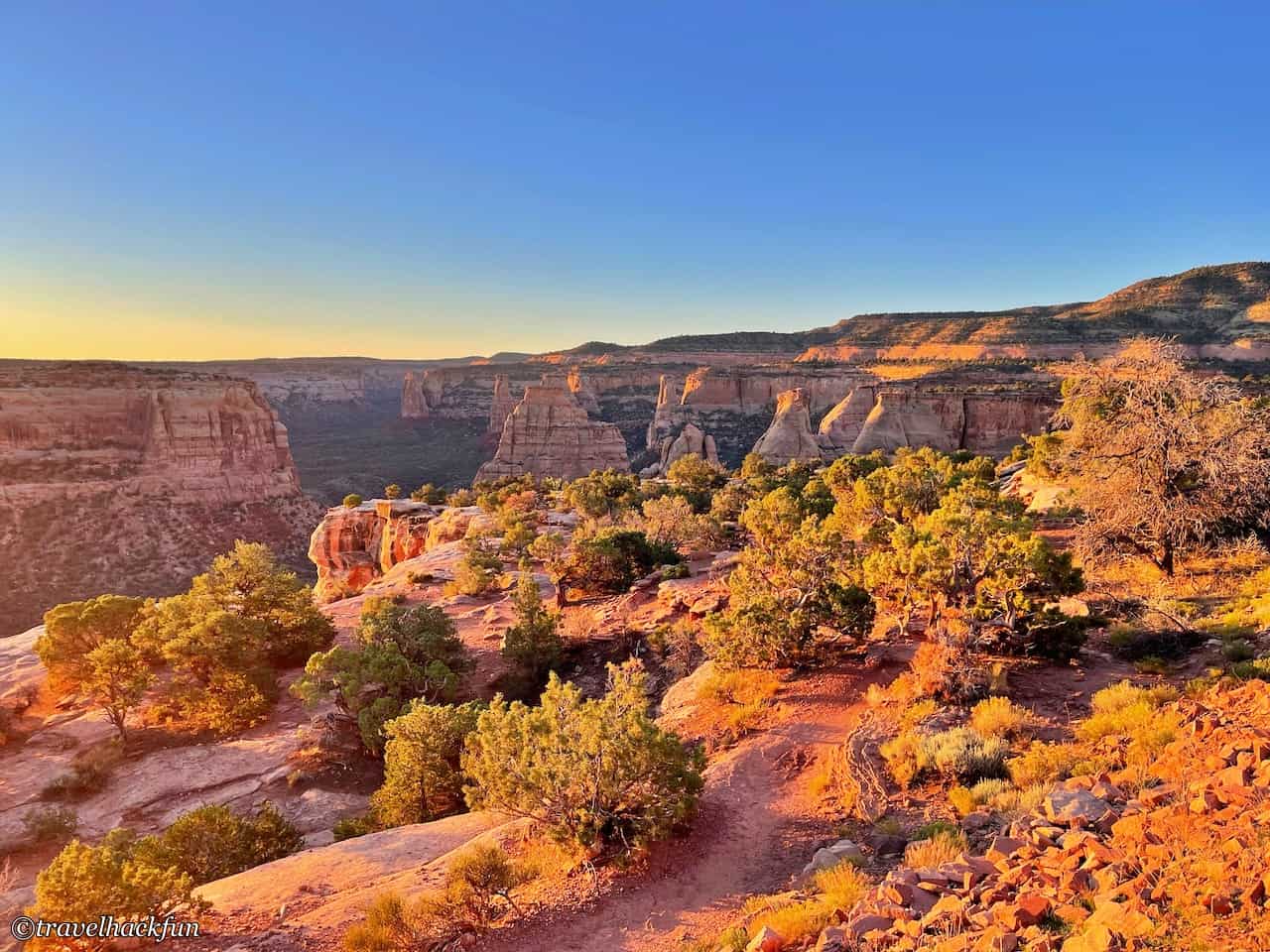
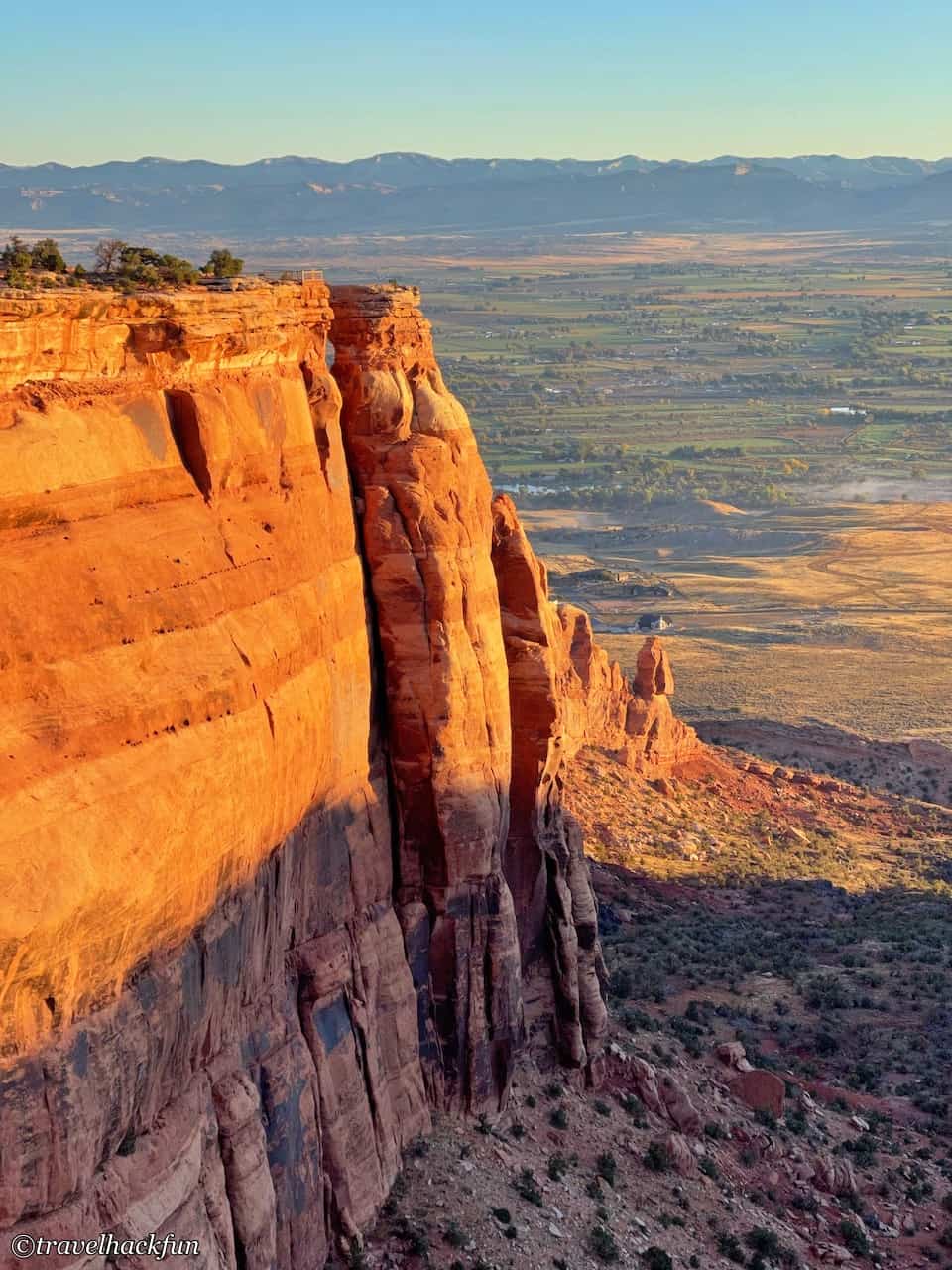
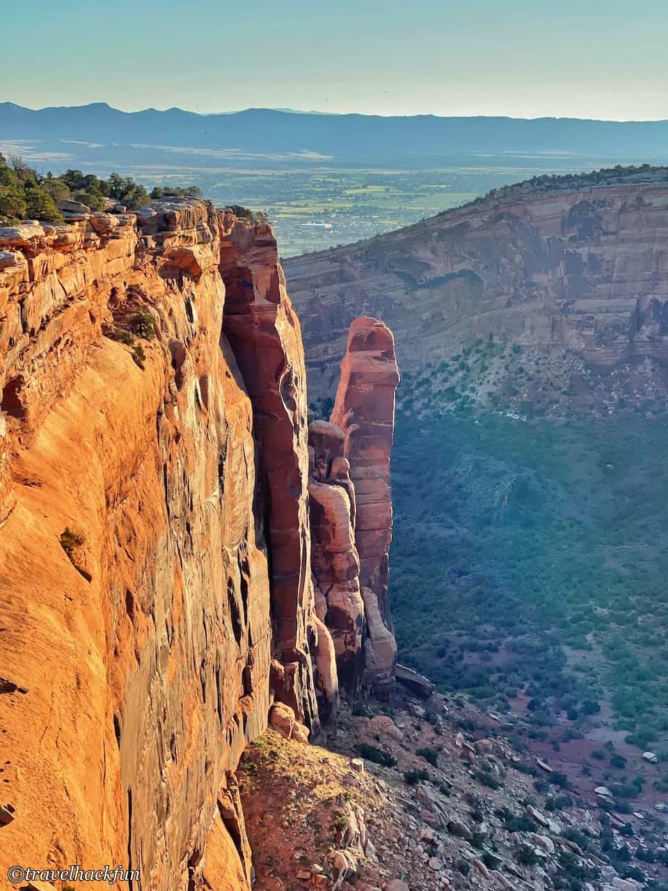
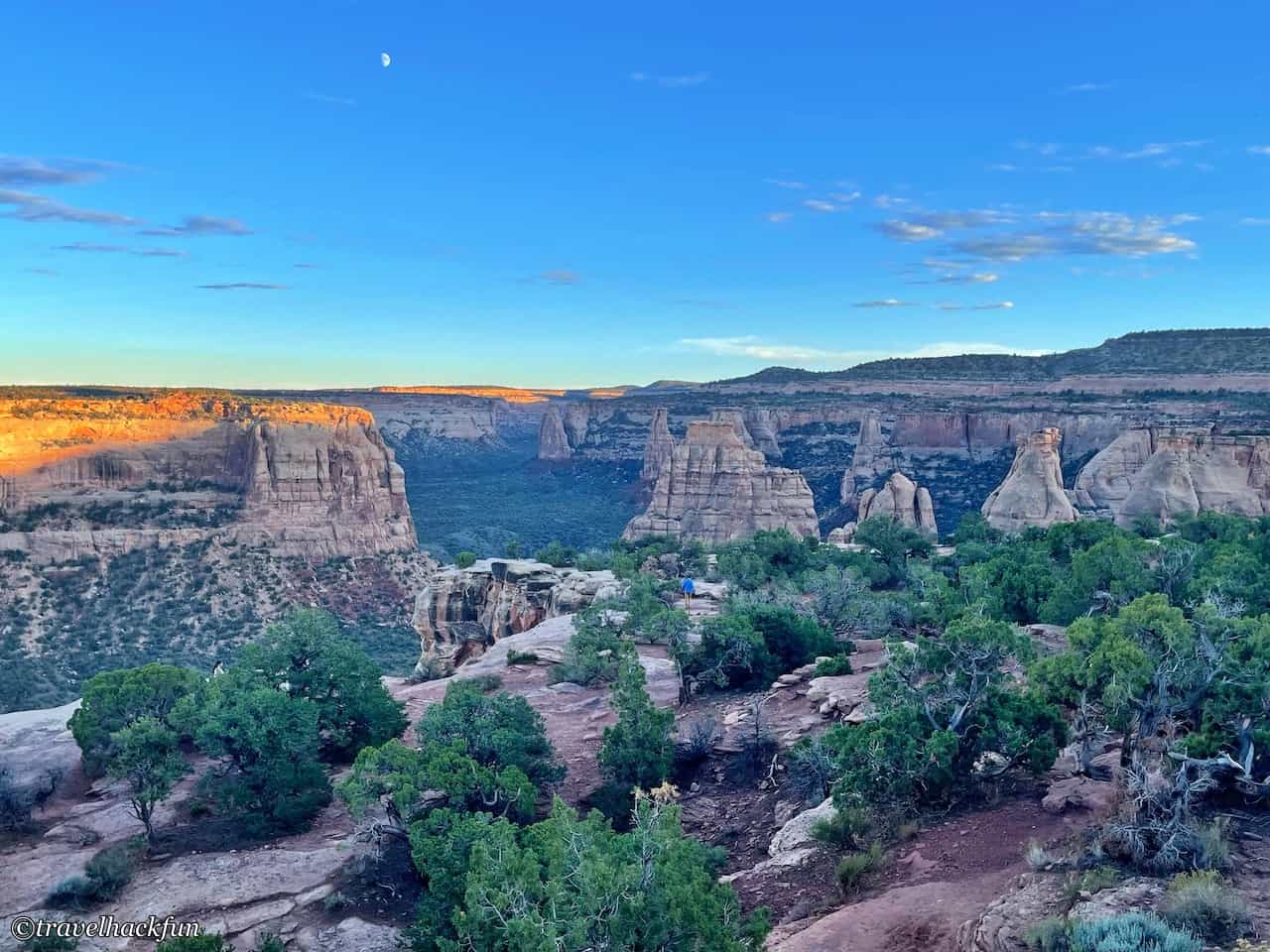
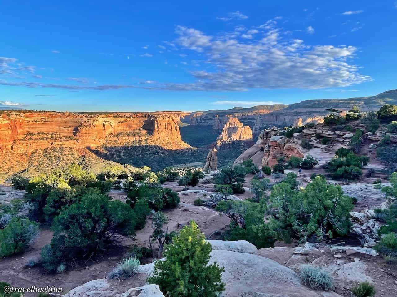
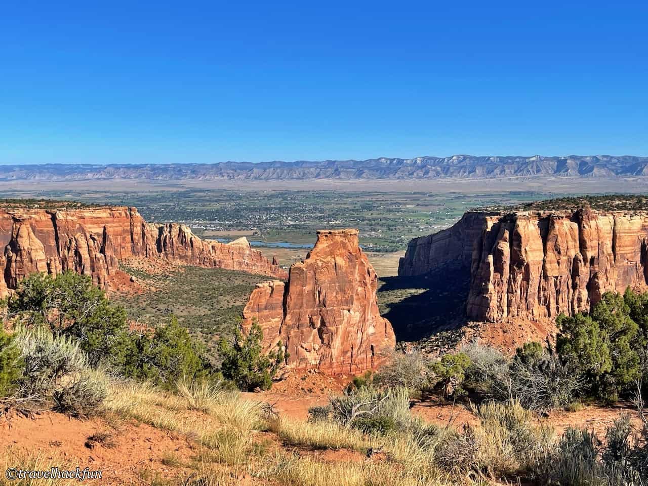
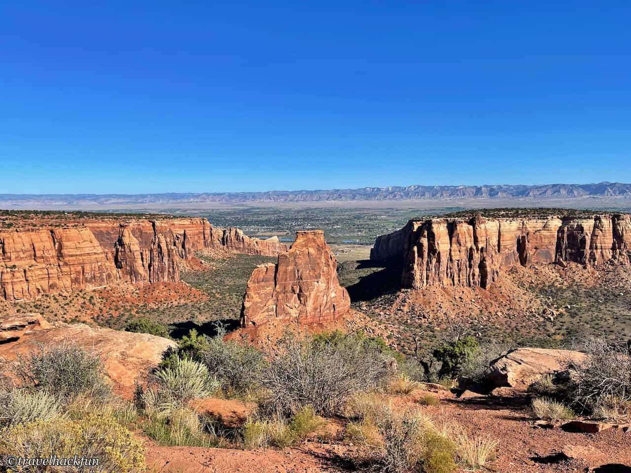
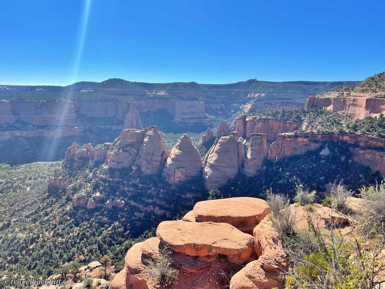
The Canyon Rim trail is only 0.5 mile one way and starts from the back of the visitor center, leading all the way to Book Cliffs View. This trail follows the edge of the canyon cliff on the side of Wedding Canyon, offering quite spectacular views. Wedding Canyon is definitely a highlight of the trail, and in fact, we will see many different angles of Wedding Canyon from other viewpoints later on. The rock formations are quite unique and eye-catching, and thus have been given different names. The largest piece in the middle is called Independence Monument, the two slender rocky pillars close to each other are named Kissing Couple, and there are other formations like Praying Hand, Pipe Organ, The Island, and more. You can refer to the official website's introduction. At different times of the day, the light on these rocks creates interesting color variations, making them endlessly fascinating to observe.
The place called Wedding Canyon got its name because John Otto held a wedding there. Although the story of Wedding Canyon sounds quite romantic, John Otto's primary interest was rock climbing. His newlywed wife seemed to have found his single-minded hobby, daily life in a tent, and the solitude of the place unbearable after the wedding. So, they separated a few weeks later.
Book Cliffs View
Book Cliffs View connects the Window Rock Trail and the Canyon Rim Trail. From here, you can enjoy the scenery of the Book Cliffs and the Grand Valley, as well as see Window Rock. However, you won’t be able to see Window Rock once you’re on the Window Rock Trail because the trail is actually situated above Window Rock.
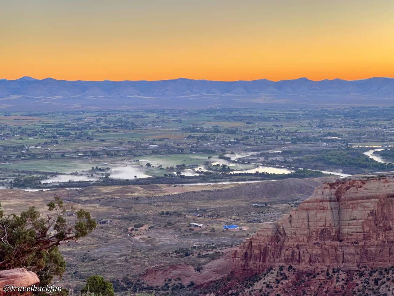
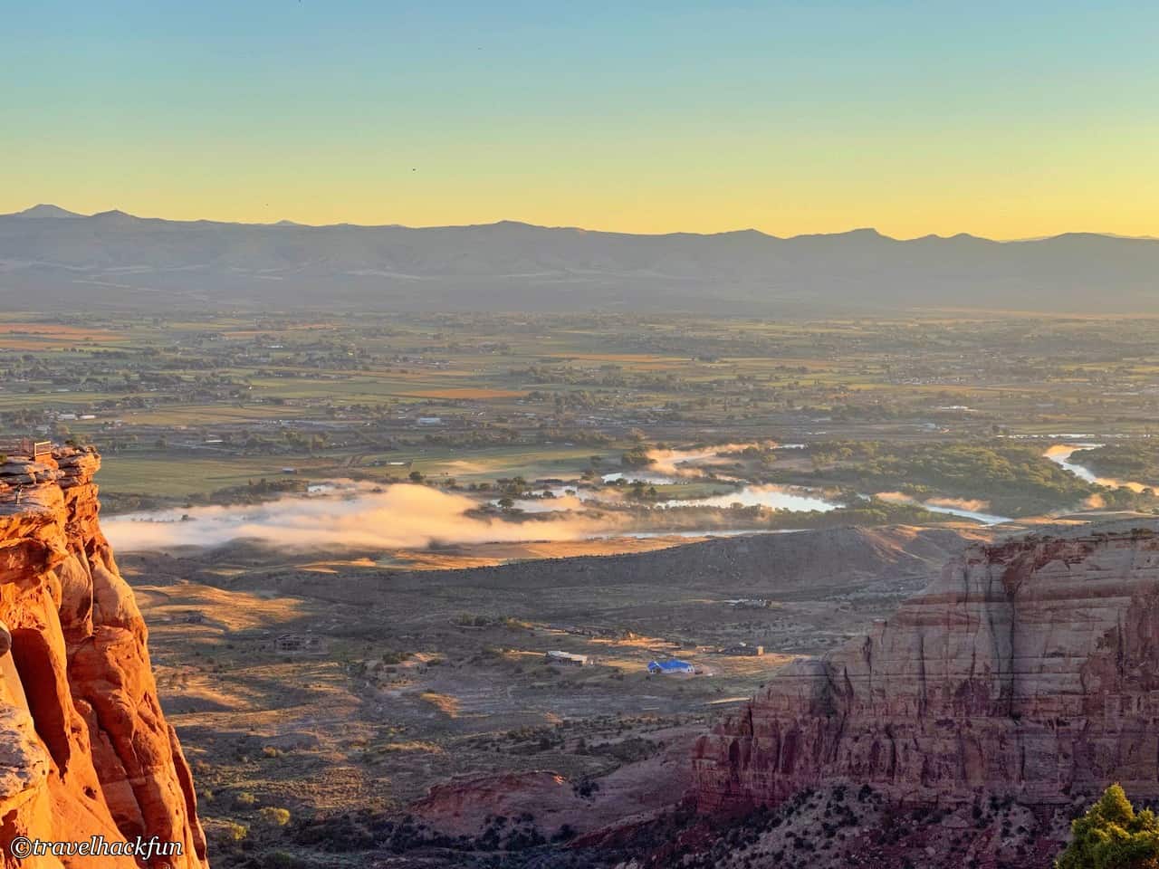
This is also the best place in the park to watch the sunrise. At sunrise, the Colorado River is enveloped in a layer of mist, making the scenery over Grand Valley even more spectacular. We arrived here early in the morning and were unexpectedly surprised to find that besides us, there were only one or two tourists taking pictures and sketching this beautiful view.
Window Rock Trail
Continue down the path to the Window Rock Trail, which is 0.25 miles long. Walk up to the rock wall at Window Rock. From this vantage point, you can also see the other side of Wedding Canyon.
Alcove Nature Trail
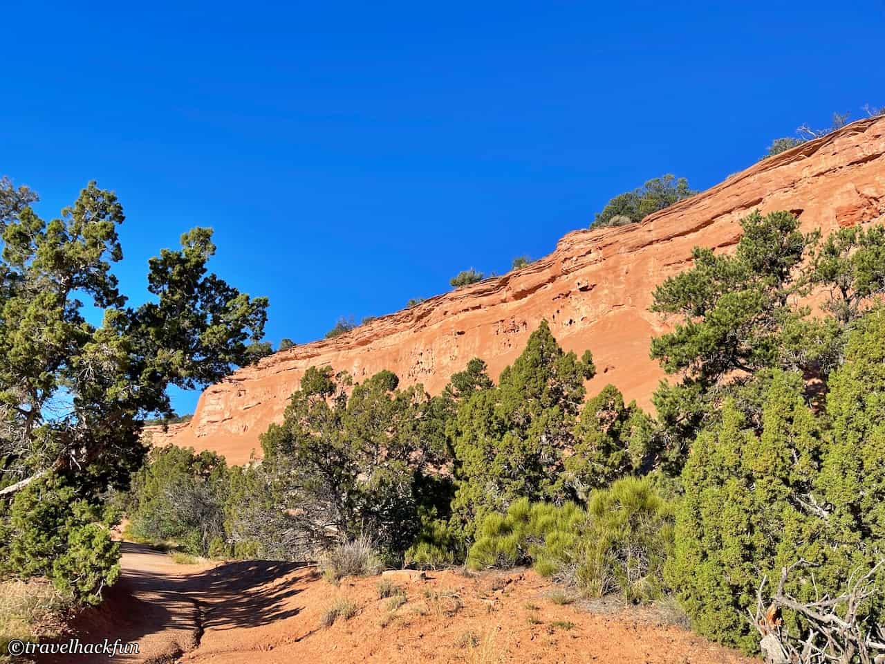
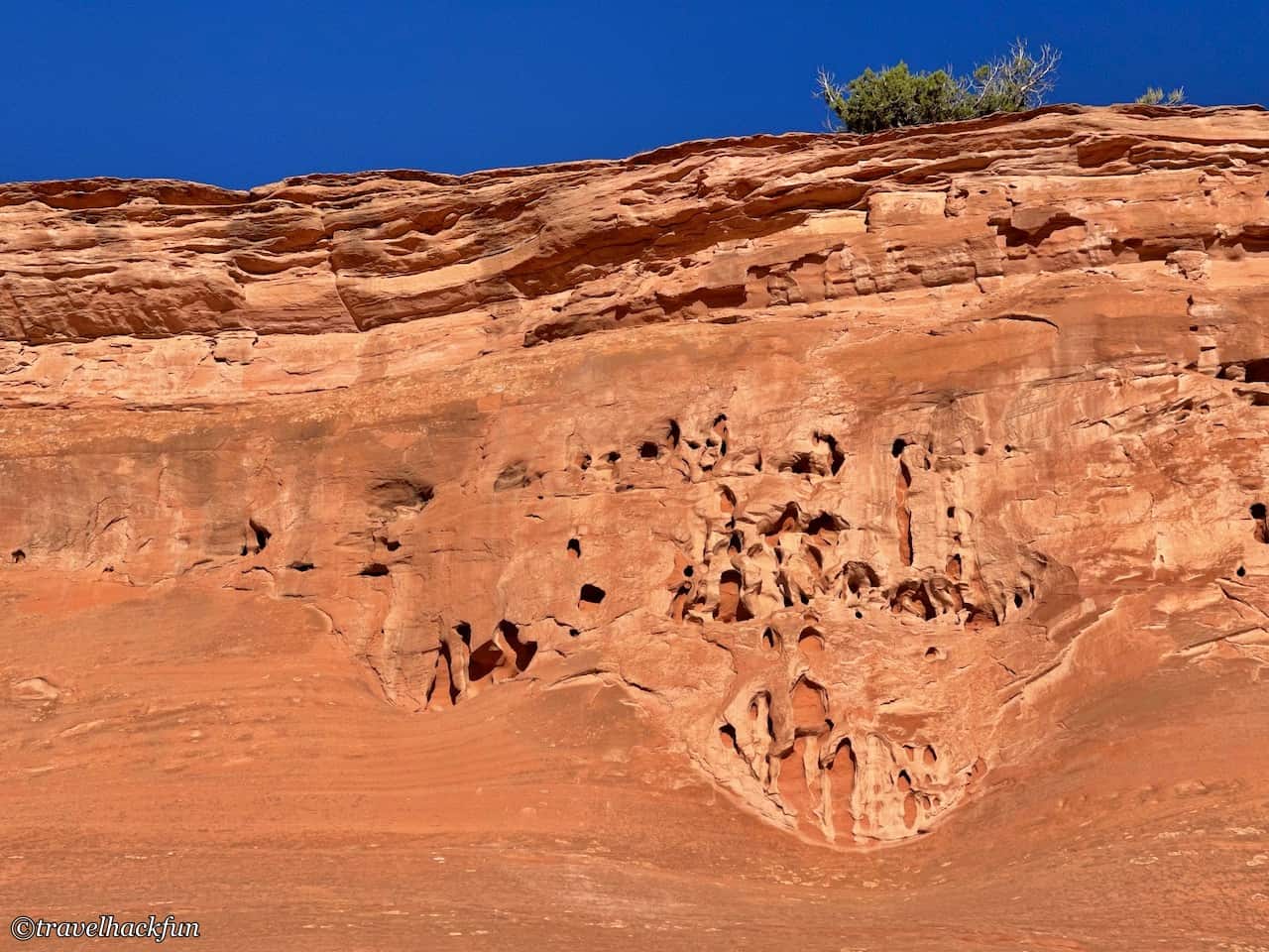
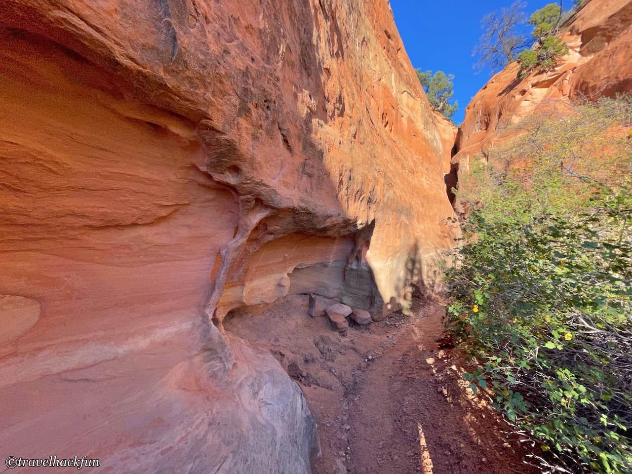
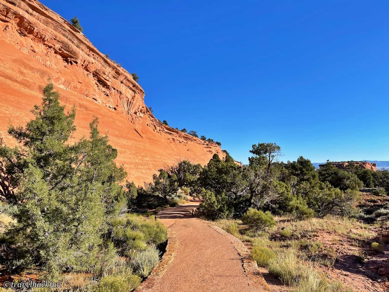
The entrance to the Alcove Nature Trail is located across from the visitor center, and it's only 0.5 miles long. This trail doesn’t receive much attention, even the park's own description is quite plain, so we initially didn’t plan to complete it. However, after walking halfway, we found that this trail is actually very underrated. It is extremely flat and easy to walk, and after finishing the part that introduces different plants, continuing further leads to Box Canyon. The cliff walls are quite beautiful, somewhat resembling the landscapes in Arches National Park.
Independence Overlook
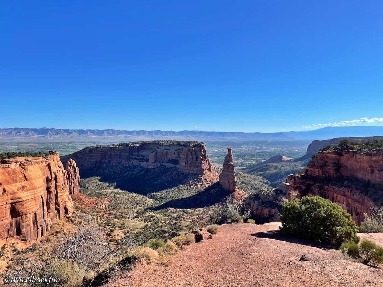
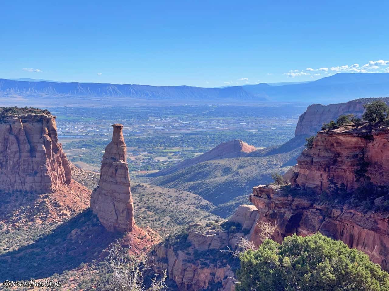
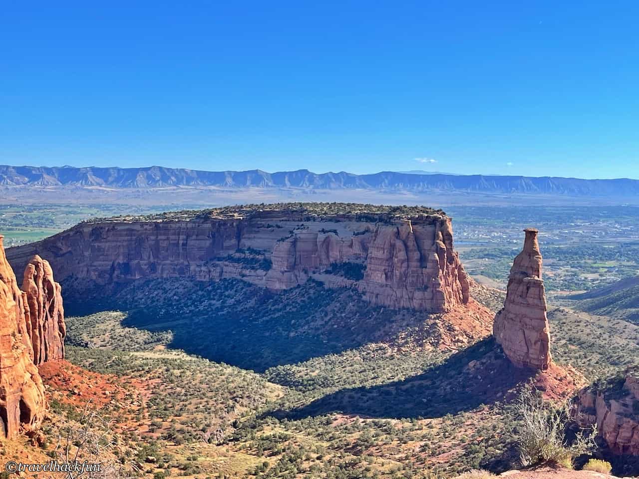
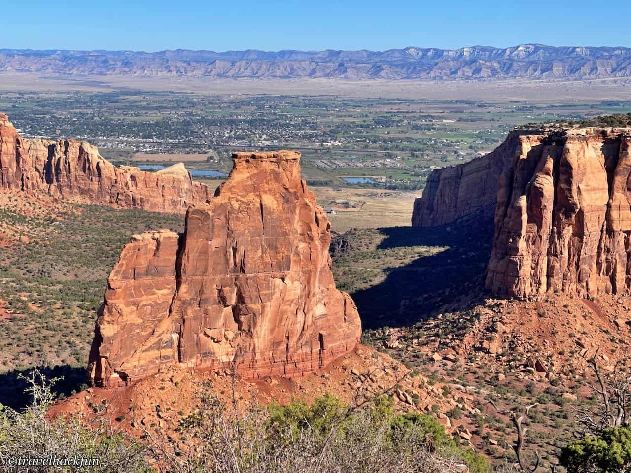
From this viewpoint, you can see the Independence Monument standing alone. At this point, we have reached the intersection of Wedding Canyon and Monument Canyon. This massive stone stands 450 feet tall and looks slender and elongated from this angle. John Otto, in an effort to promote the park, once chiseled a path using iron pipes so that he could climb to the top of the Independence Monument and raise the American flag on Independence Day. As a result, even today, many rock climbing enthusiasts come here specifically to reach the summit.
Grand View
Grand View can be said to be the best viewpoint in the entire park. From this location, you can get a closer view of the rock formations and also enjoy a panoramic view of the Book Cliffs and Grand Mesa.
Coke Ovens Overlook
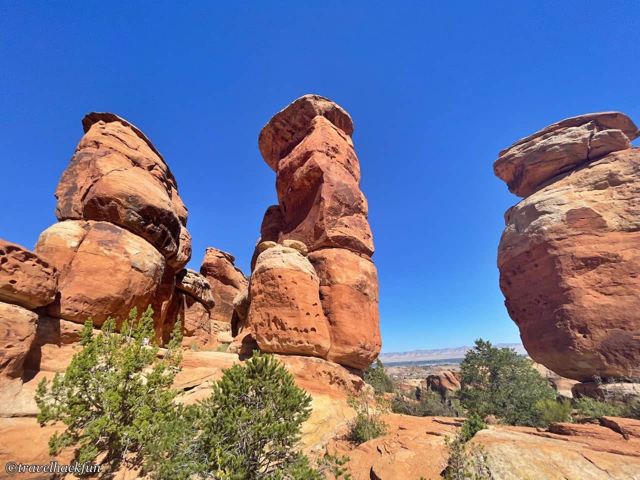
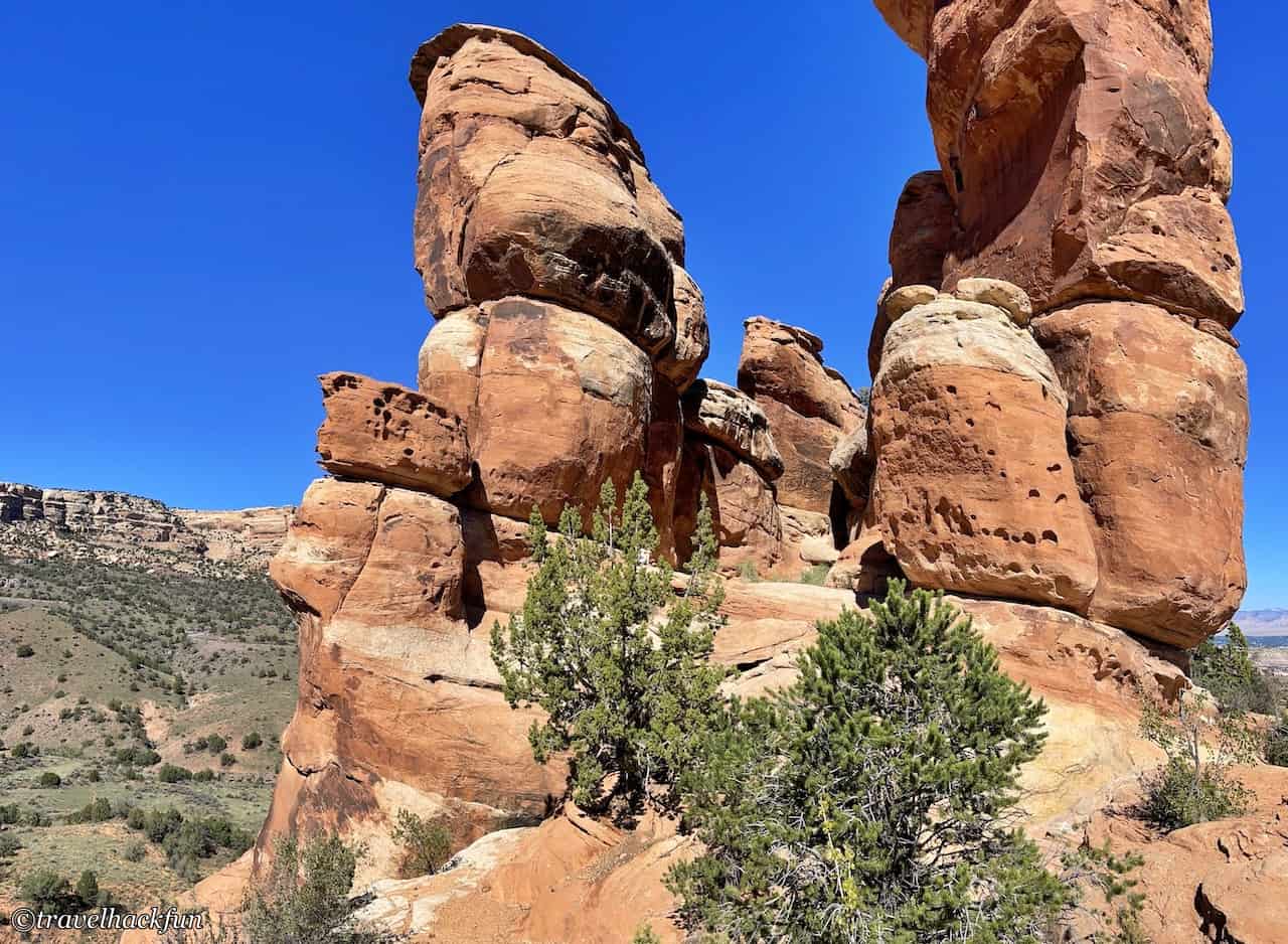
The rocks here have unusual shapes and are called Coke Ovens, because their shape resembles the ovens used to turn coal into coke.
Highland View Overlook
Upon reaching this higher terrain on the Highland, you can take in a distant view of the Book Cliffs and Grand Mesa from another angle.
Upper Ute Canyon View
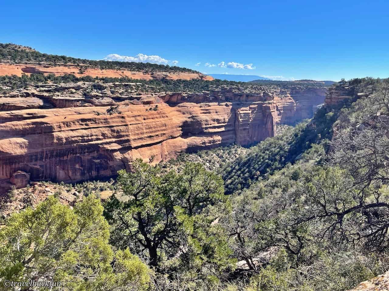
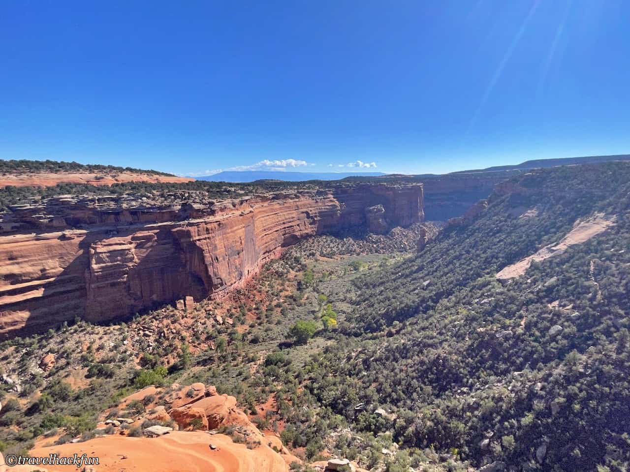
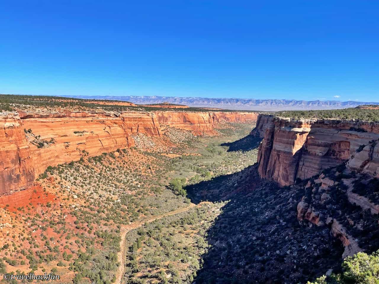
From here, we face Ute Canyon. The Ute are the indigenous Native American tribe in this area. The canyon visible from here is relatively narrower, and the scenery is somewhat different from what we saw before.
Fallen Rock
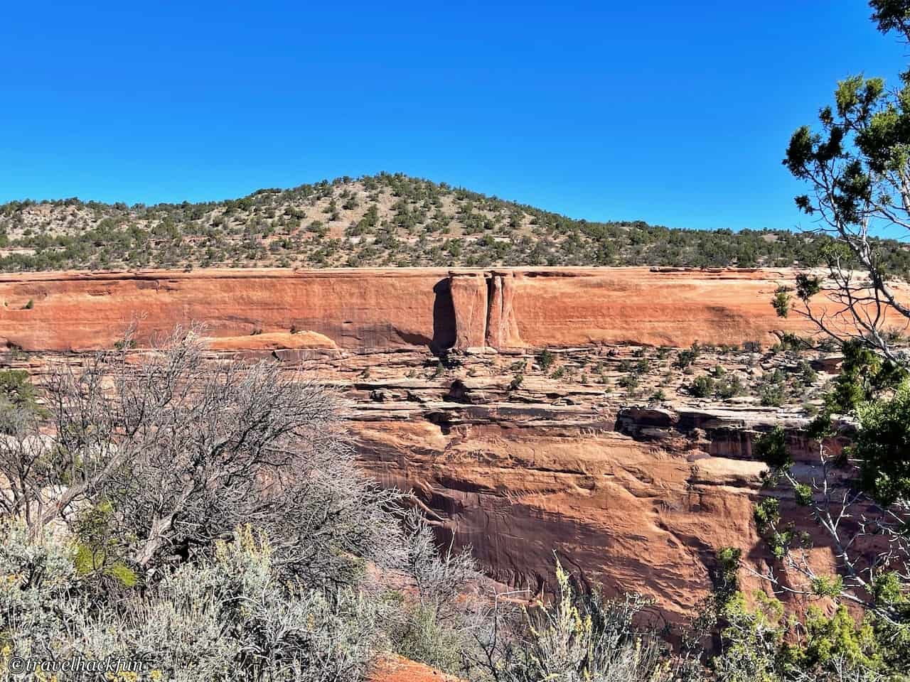
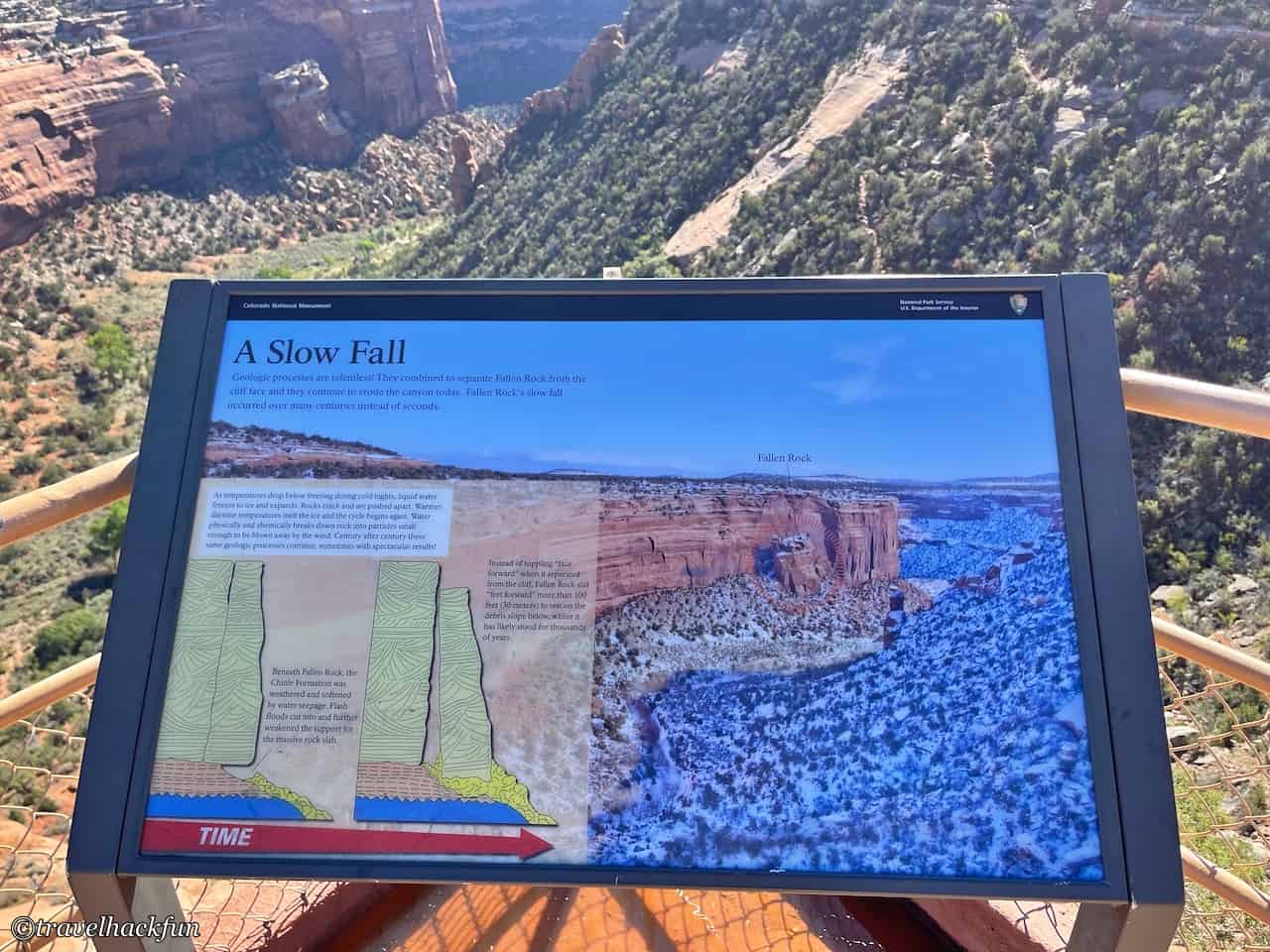
What we see in front of us, the Fallen Rock, was originally a part of the mountain wall. The bedrock at the bottom was loosened by weathering and seeping water, causing it to slowly slide downward.
Lower Ute Canyon
The Ute Canyon seen here appears more magnificent.
Red Canyon Overlook
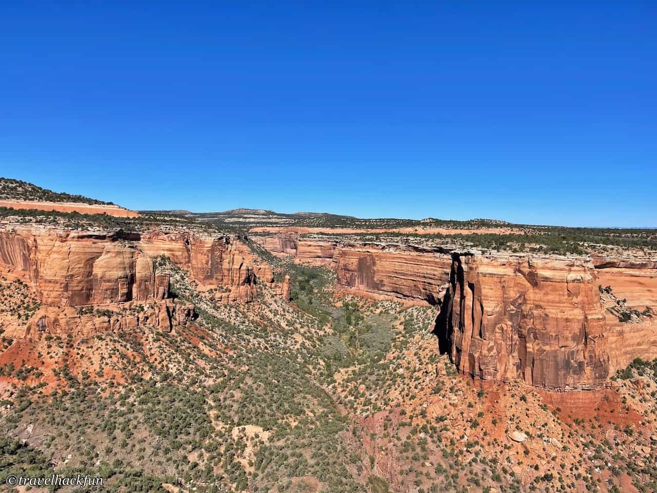
Red Canyon, the canyon walls appear especially red under the sunlight. This canyon is broad and at first glance has a bit of a U-shaped valley feel, but it was actually carved out by flowing water.
Cold Shivers Point Overlook
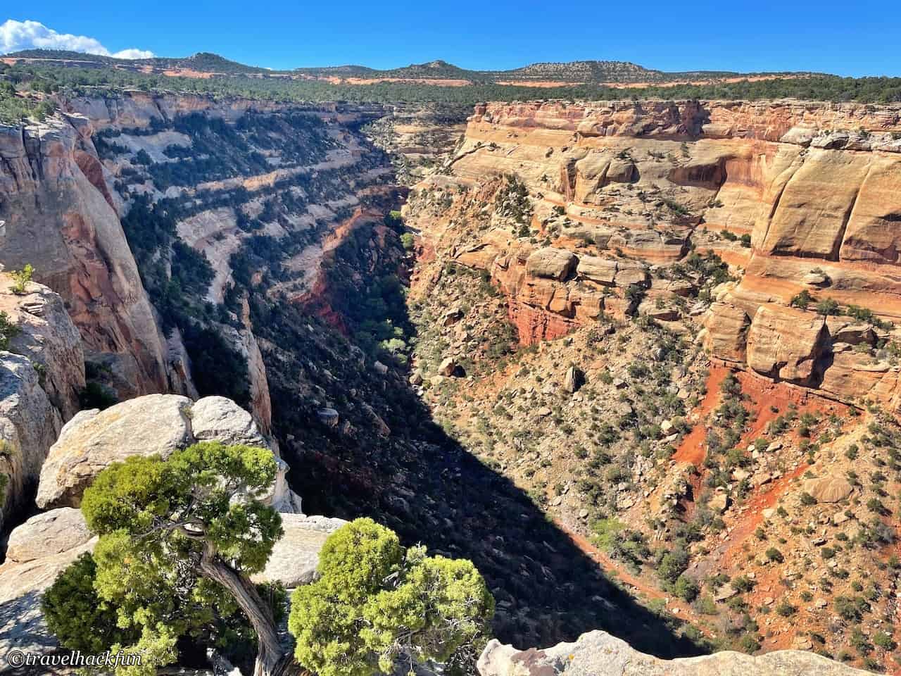
What we see here is Columbus Canyon. The canyon appears relatively narrow, with more vegetation.
Devils Kitchen Trail
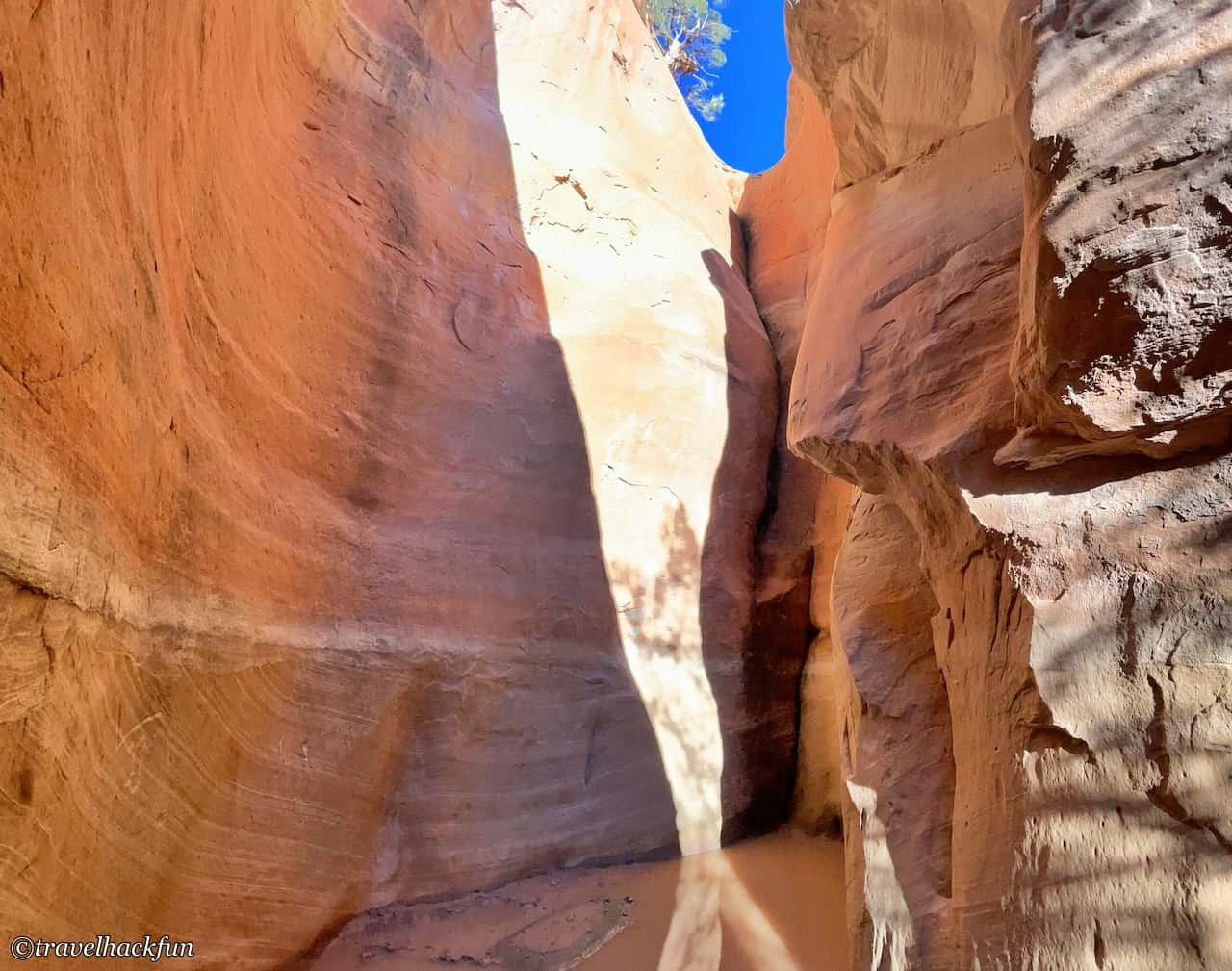
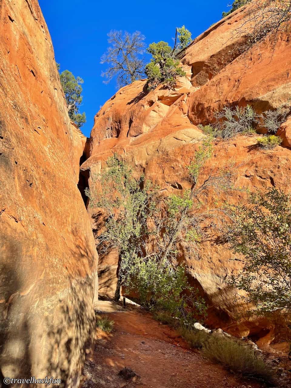
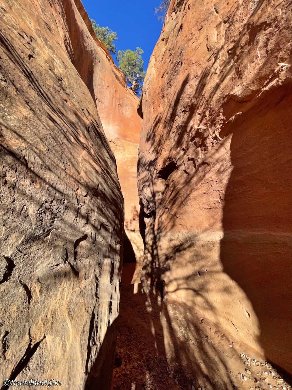
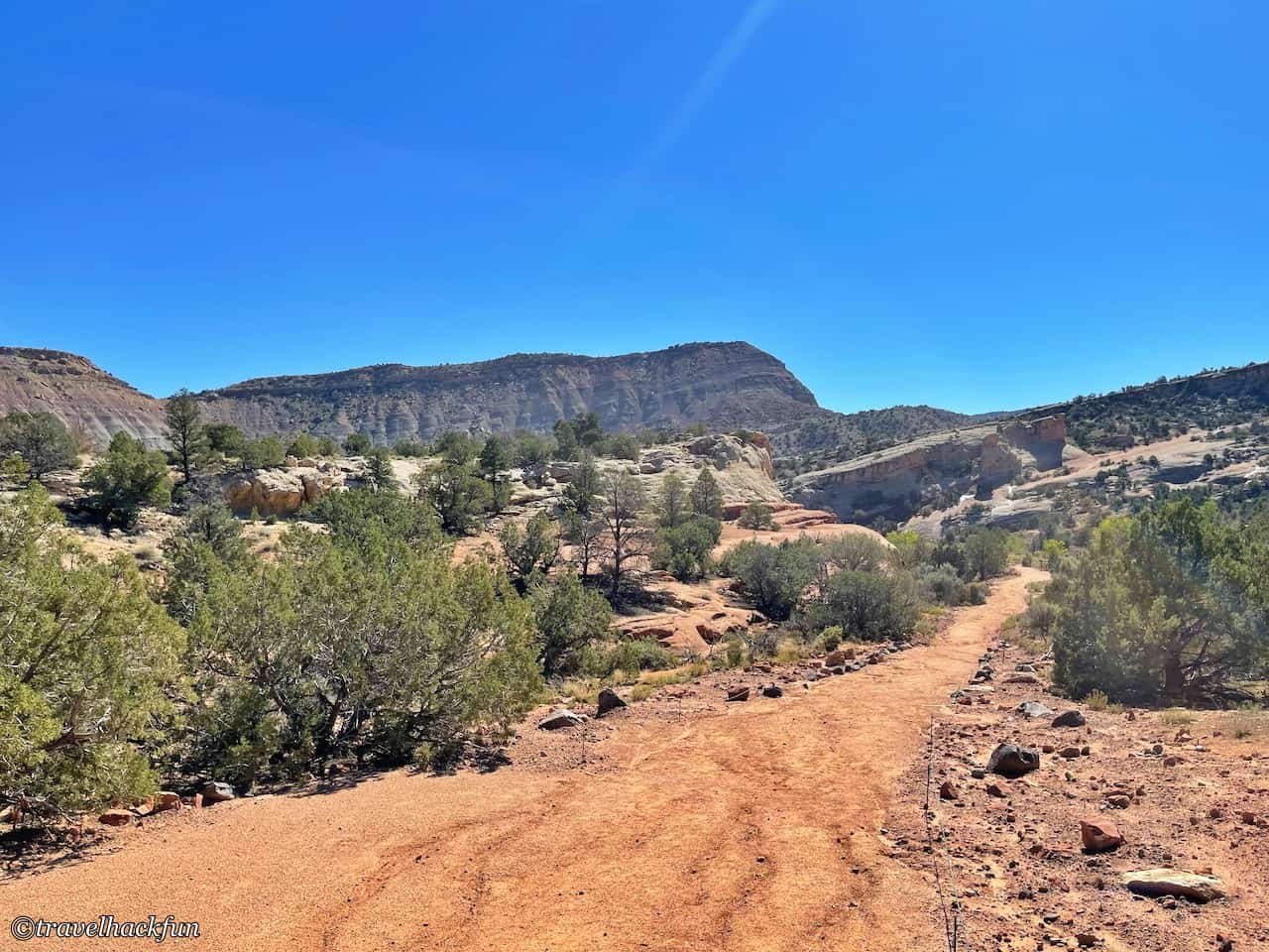
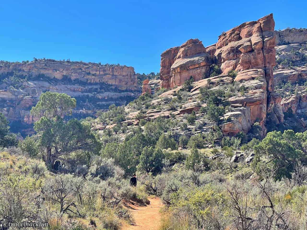
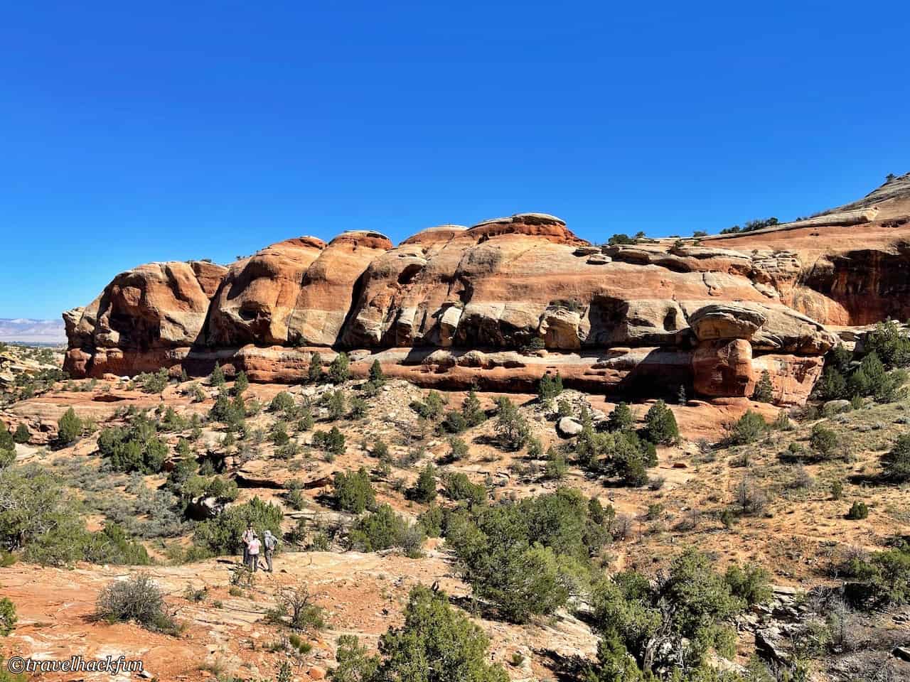
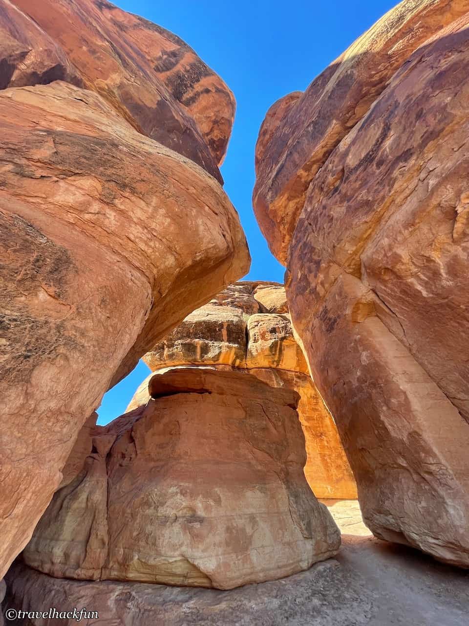
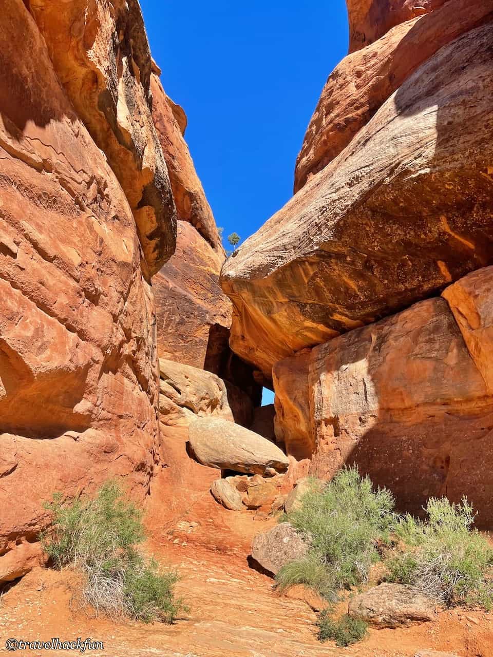
Devils Kitchen Trailhead is located 0.2 miles from the east exit. The round trip distance is not too long at 1.5 miles, but because you have to descend into the canyon and then climb back up, the slope is quite steep, making the hike a bit challenging. Therefore, it is considered of moderate difficulty. After walking about 0.3 miles, you'll see many traces of river flow on the ground, so it might be even more difficult during the rainy season. The scenery inside the canyon is actually quite spectacular, resembling Utah's Arches National Park.
How to get ready? Check out these on Amazon: hiking boots
Further reading
- More ColoradoScenic Spot Related Articles
Thank you for visiting our website.
All the content on this site is original and shared with the purpose of providing valuable information. We sustain the operation of this site through a small amount of advertising and sponsored links. If you click on links to third-party merchants on our site and make purchases, we may receive a portion of the sales as a commission. If you click on links to third-party merchants on our site and make purchases, we may receive a portion of the sales as a commission.
Find more posts on a map Here.
First time going camping?
Check out Camping 101 | A Simple Gear List for Beginners
My recommended resources for hotel bookings.
Recommended travel credit card for US-based travelers
Travel with just a backpack!
Buy me a coffee and support my contents!
If you are interested in quoting this article or using any part of its content and images on your website or publication, please contact us via email to request permission.