Contents
Sunset State Beach Profile
Sunset State BeachIt's close.Santa CruzInMonterey BayWe drove down from San Francisco in about an hour and a half, but if we stayed in South Bay, the distance was only about an hour. You can also drive straight down from here to playMonterey 17 milesIt's a great place for a weekend getaway. It's a popular camping spot because it's not far from the Bay Area and close to attractions.
I put together a simple checklist for beginners.
Campsite Review
- Comfort: ⭐️⭐️⭐️⭐️
- Space: ⭐️⭐️⭐️⭐️
- Facility Cleanliness: ⭐️⭐️⭐️⭐️
- Location Convenience: ⭐️⭐️⭐️⭐️
- Overall Rating: ⭐️⭐️⭐️⭐️
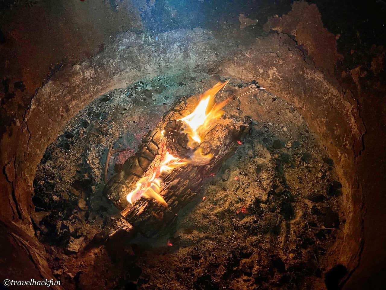
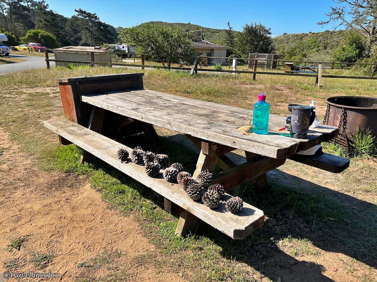
Sunset State Beach has a total of 90 campgrounds, divided into three areas, from north to south are Dunes Camp, Pine Hollow Camp, South Camp, the three places are connected by Shell Road. The Dunes Camp where we stayed this time is in the north, we thought it would be full of sand dunes, but in fact, it is surrounded by pine trees, and there is soft sand under our feet, which is quite big enough for us to put three or four tents. Although the wind was not as strong as that at the beach and did not affect the tent making, it was still windy, and the things we brought with us would be blown over when we put them outside. The good thing about the wind is that it is very easy to make a fire, and the firewood burns very well at night. All in all, it was a great place for a family vacation.
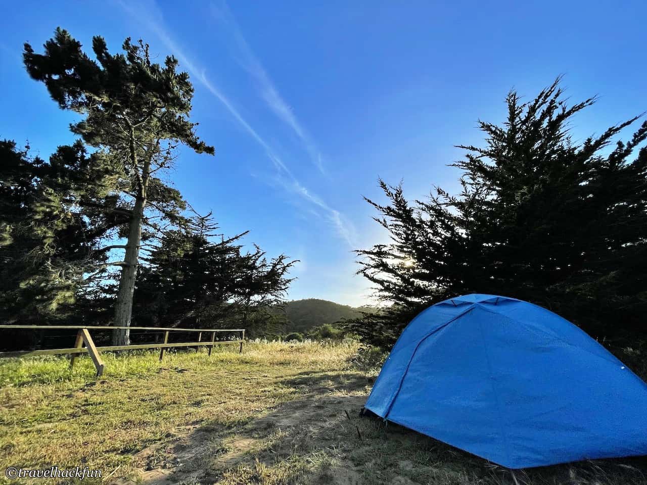
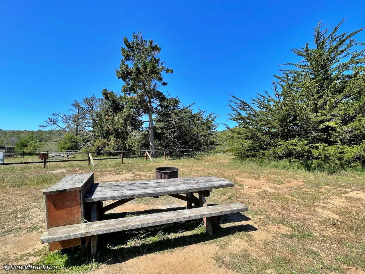
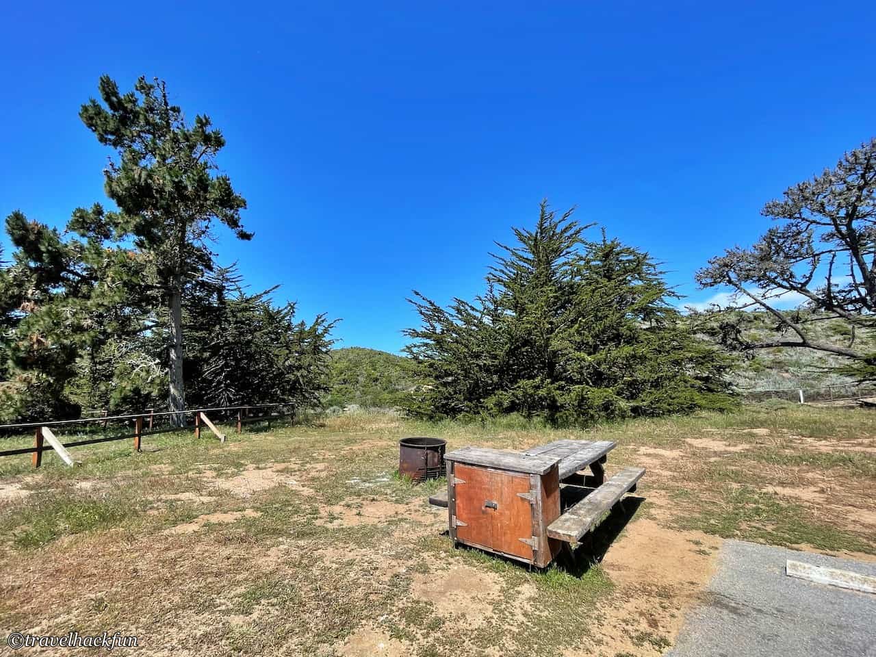
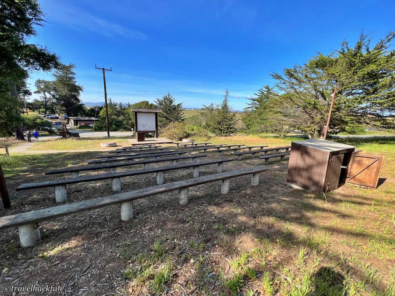
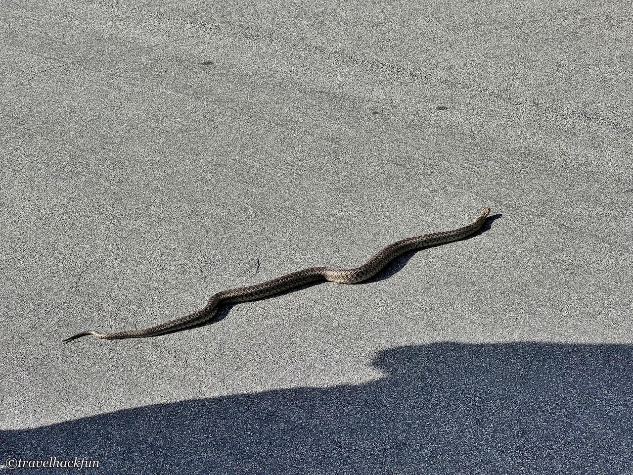
All three campgrounds are located on the cliffs and there is a difference in elevation between them and the beach, so if you want to walk to the beach, it is most convenient to do so from South Camp. However, there is actually a trail that runs parallel to Shell Road connecting the three campgrounds, but it is just a bit farther away from the other campgrounds. I found this trail very easy to walk and flat, but there are snakes and rodents here, we encountered a big snake crossing the road on our way to the trail.
- Hotel search: Agoda
- Activities & tickets: KKday / Klook / TripAdvisor
- Travel credit cards (US only): My card picks + beginner tips
☕ Enjoying my travel notes?
You can Buy me a coffee to support what I do 🙌
Sandy Beach
Near the camp to go down to the beach to see the map is three trails, roughly from the three camps can walk down the beach, but later we found that only the southernmost one seems to have in the maintenance is also relatively gentle the most walk.
Because of the distance to the south, we initially found a shorter trail (called Beach Trail on the map) to the north to go down to the beach. This trail is the shortest one, but actually we realized that although this trail is beautiful, it is actually not walkable now, and it would be a bit dangerous if we insisted on walking on it. The path from the hill to the beach is full of soft and thick sand, and the short distance is very steep, so if you go hard, you will be sliding all the way down.
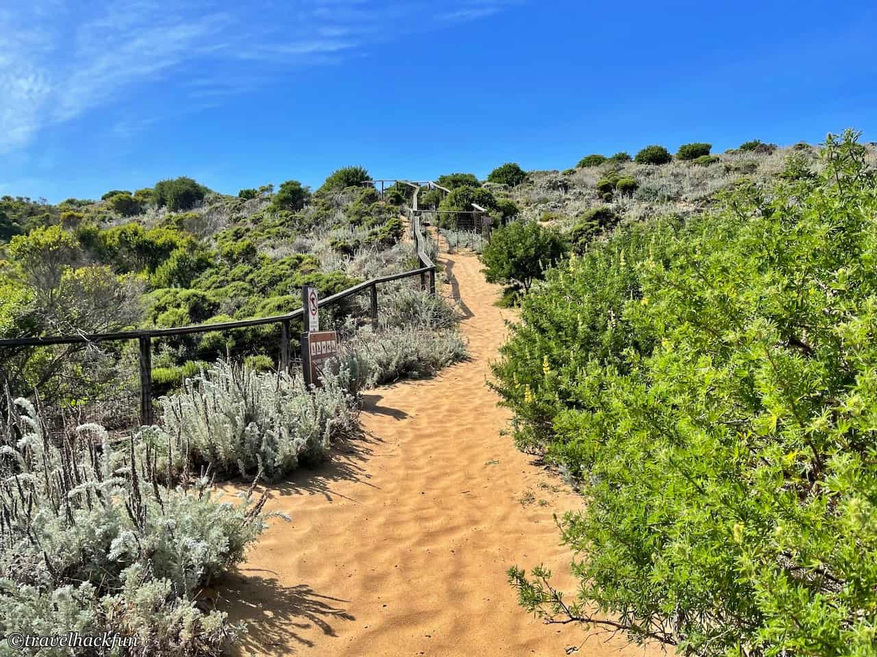
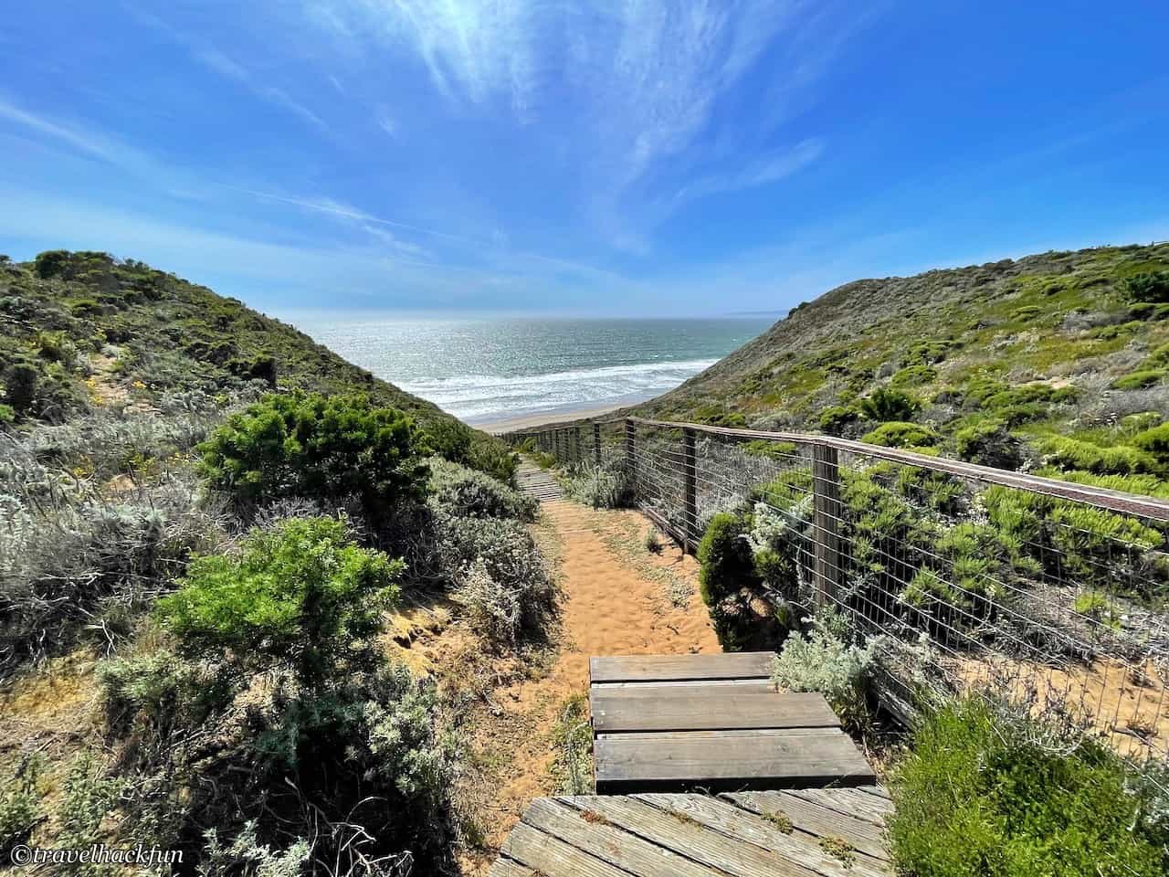
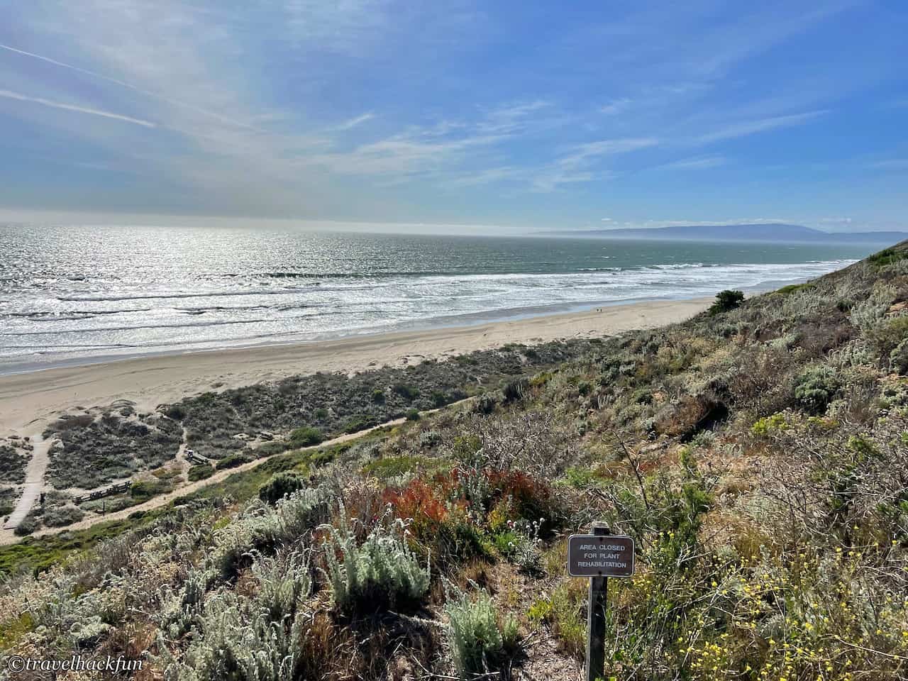
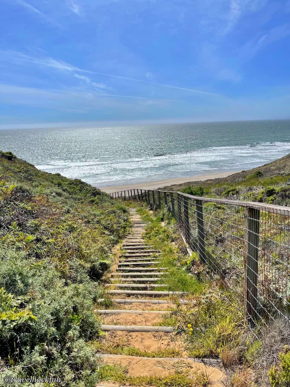
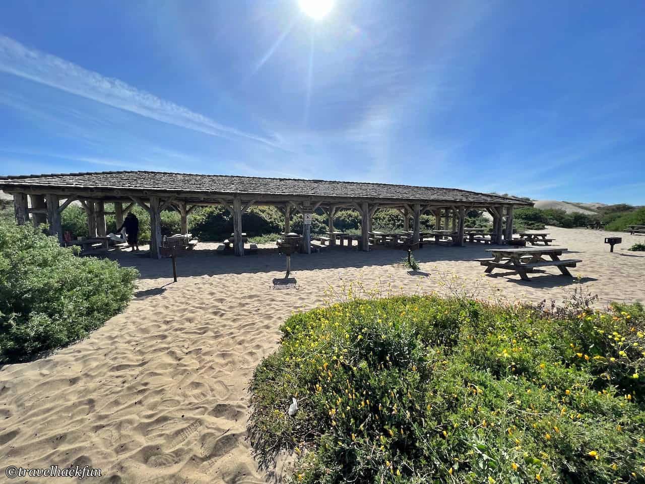
The best way is to go south from South Camp, the trail is not so steep, there is a driveway next to it, and at the bottom there is a big beach parking lot and picnic area, so you can also drive down directly. I think it's not bad to walk a little bit on the trail, because the view of the sea is great. Next to the parking lot is actually the Day Use area, when we came here, we saw some people having a barbecue here.
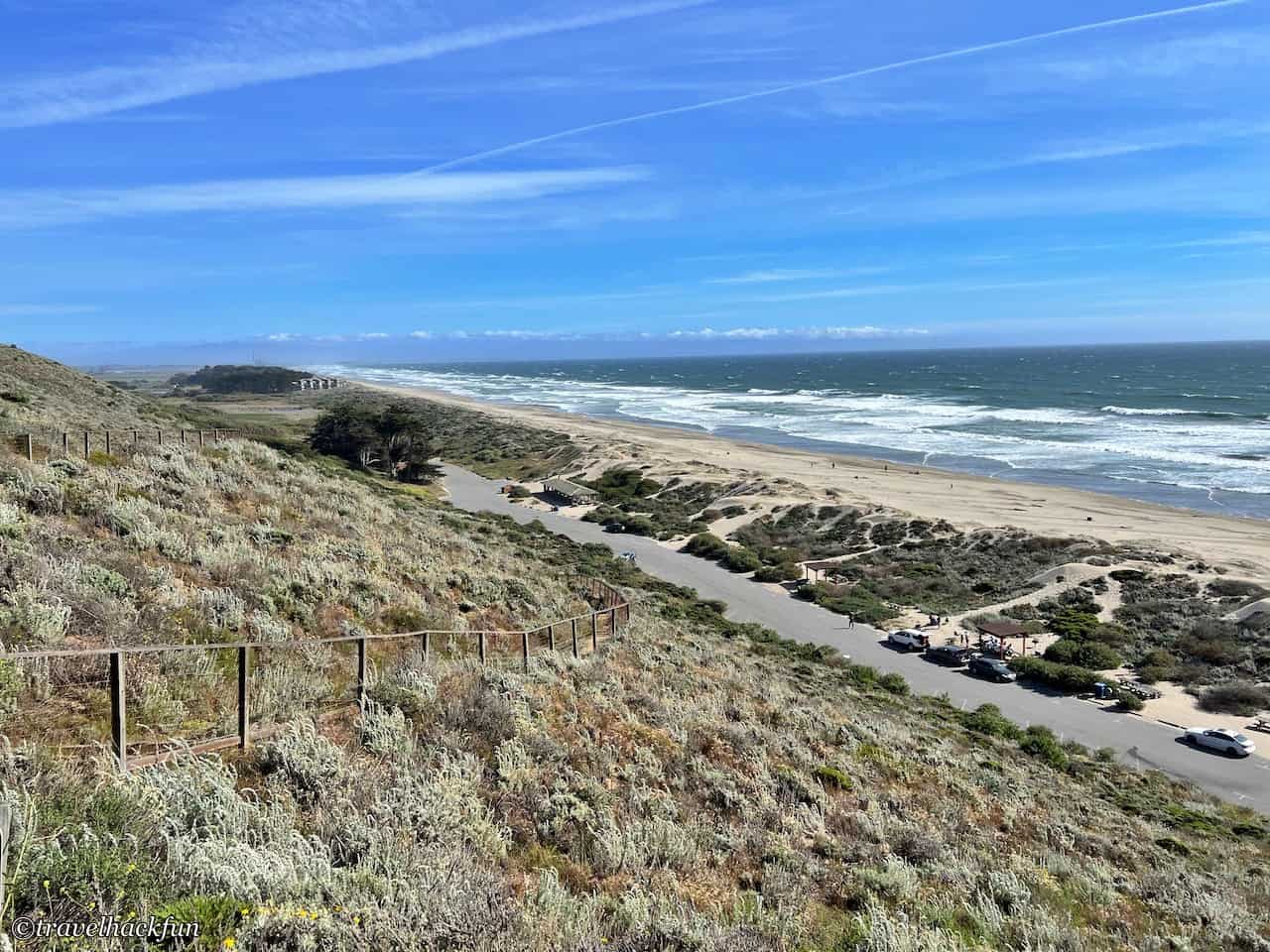
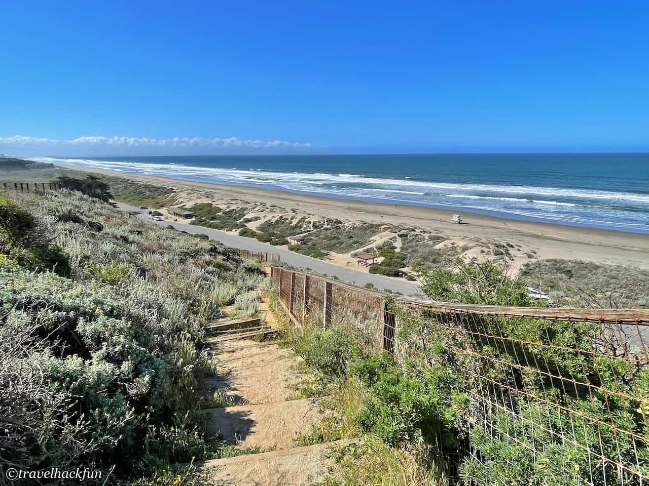
The middle trail is also a bit steeper, so we didn't walk down it, and only watched the sea from the upper observation deck, which is suitable for watching the sunset in the evening.
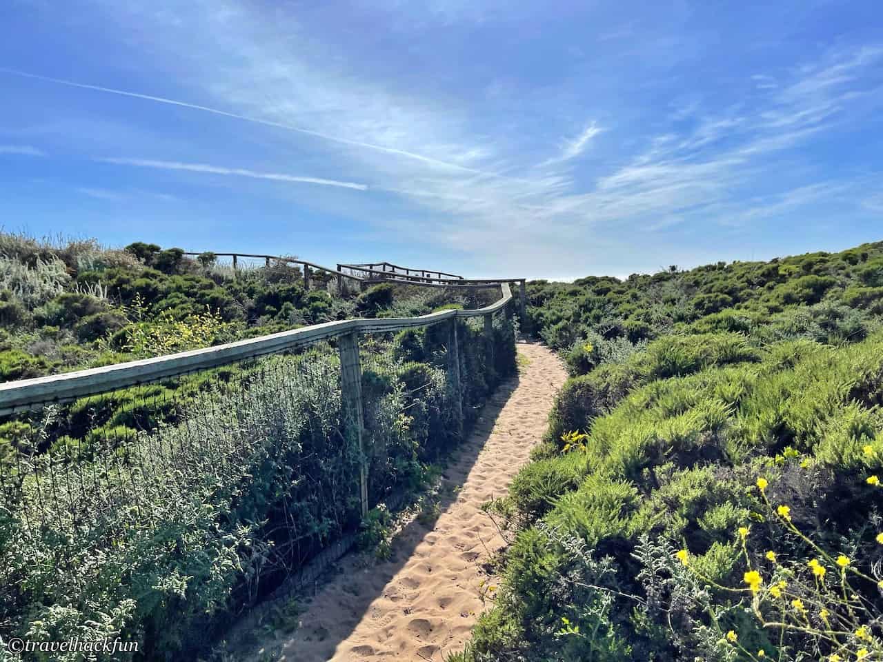
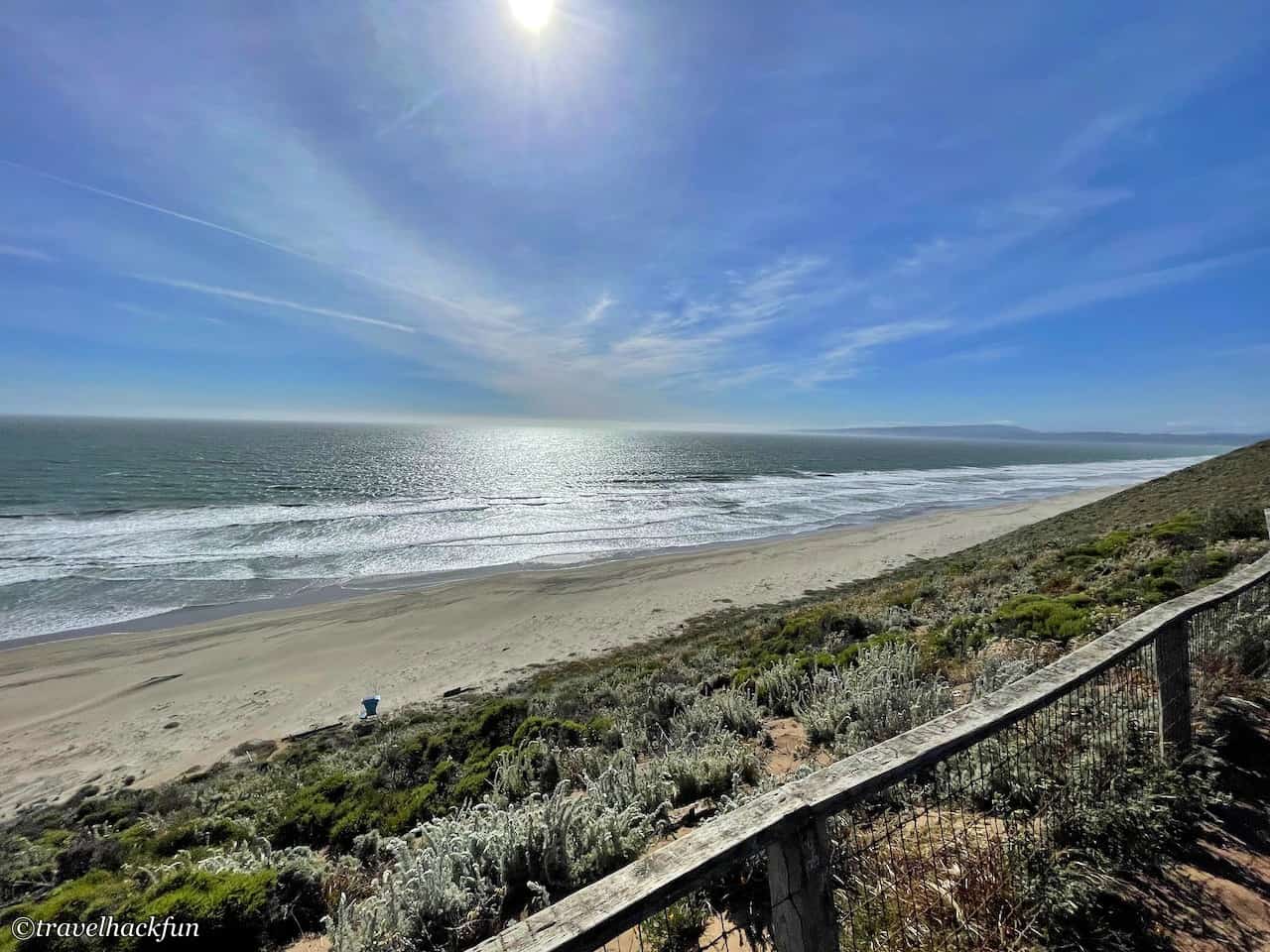
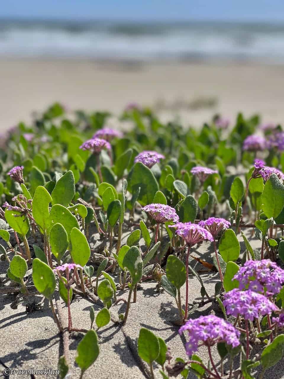
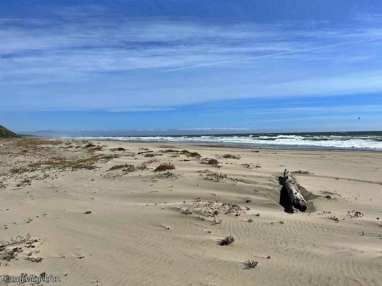
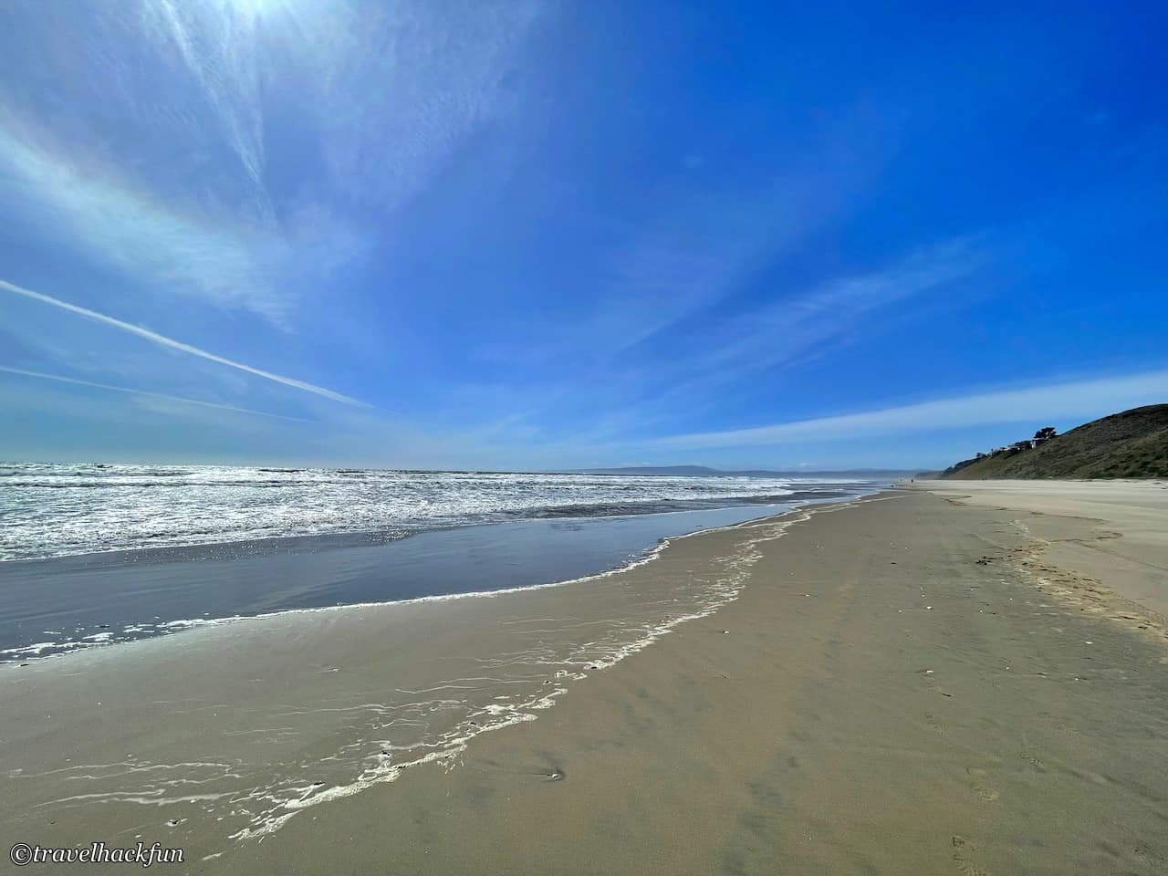
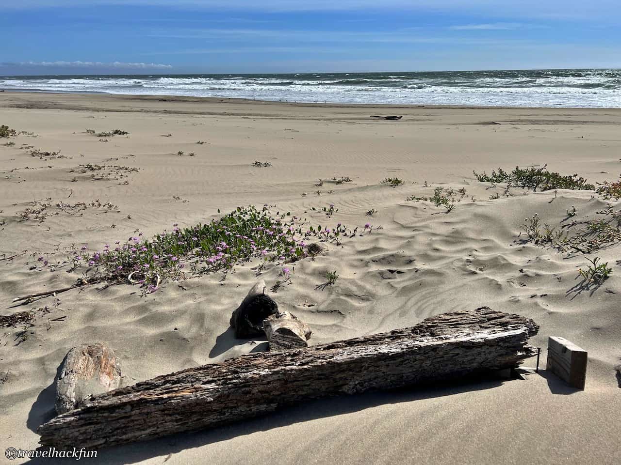
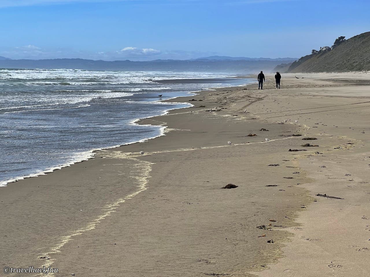
No matter which trail you choose, you will end up at Sandy Beach, I like the sand here, it is very comfortable to step on. If you are interested in having a barbecue or fire party, there are many fire rings on the beach near the south side.
- More camping stories click here