Table of Content
Joshua Tree National Park | Introduction
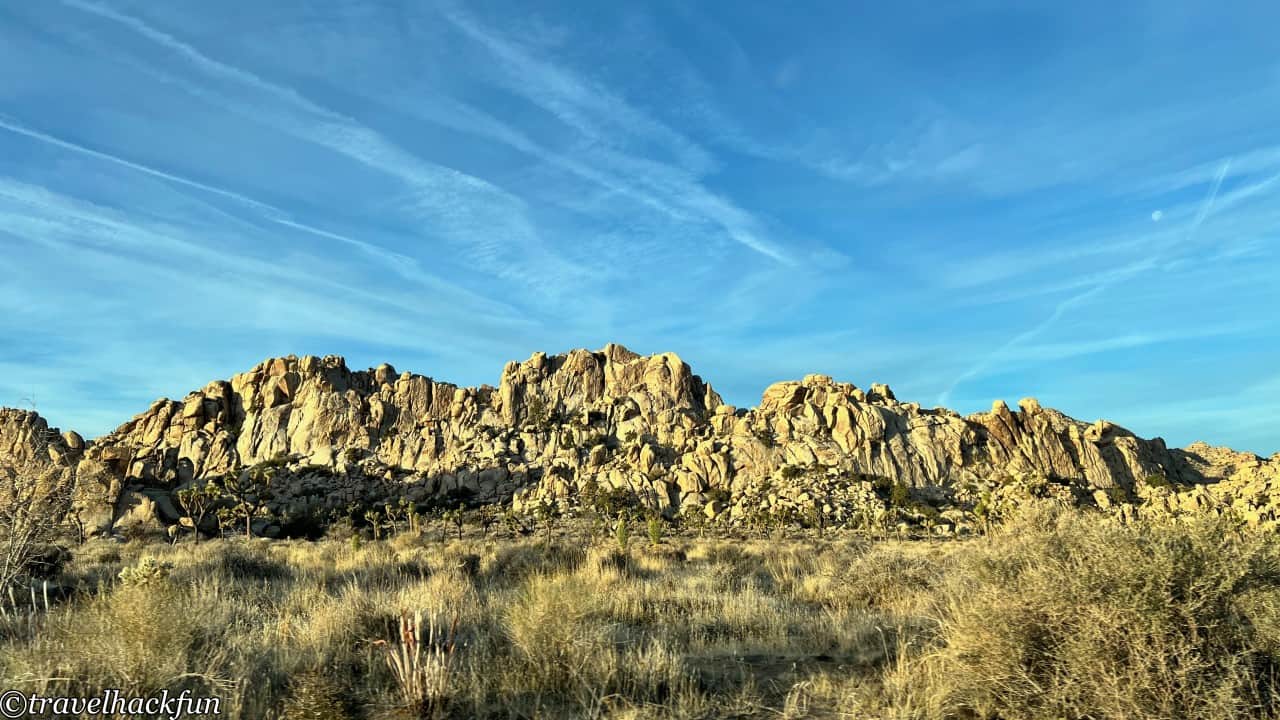
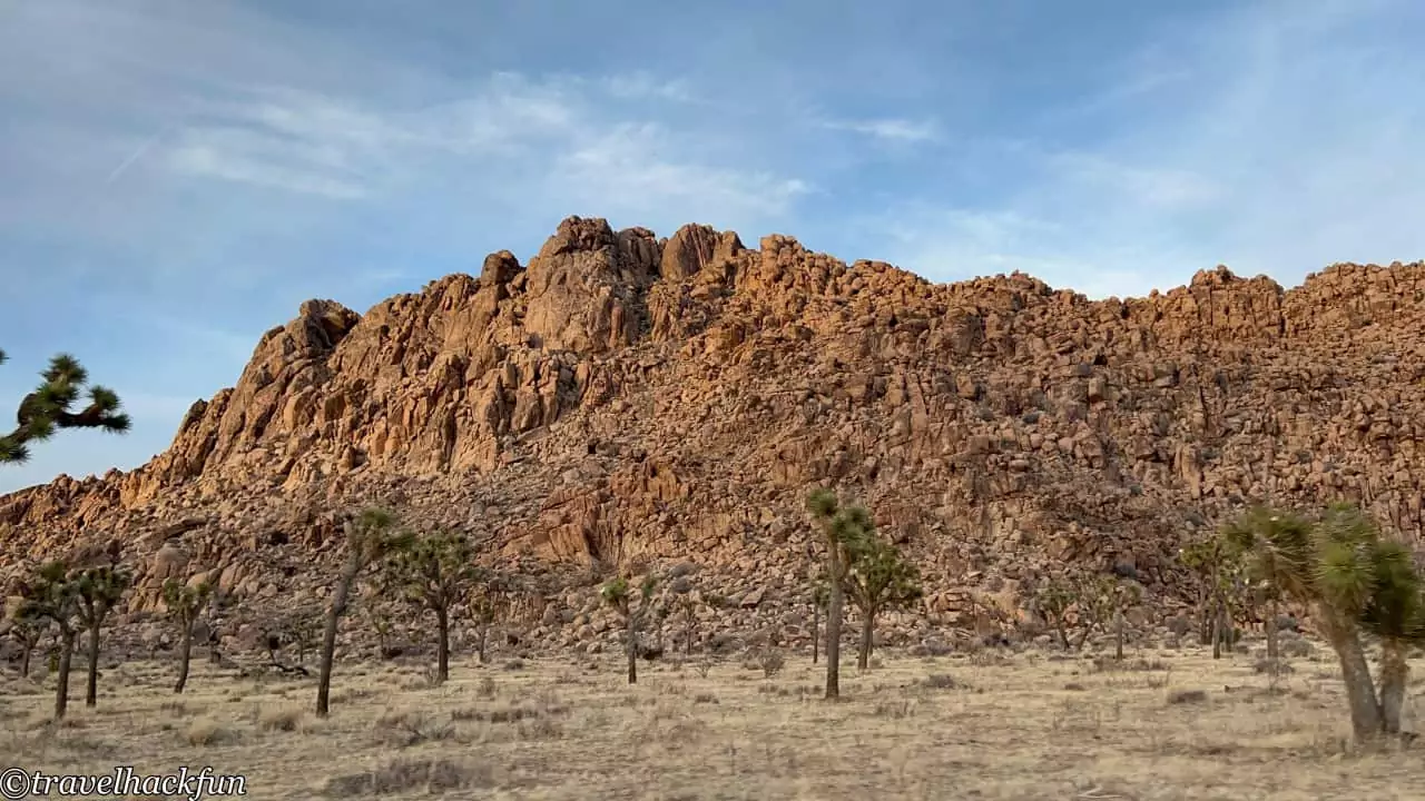
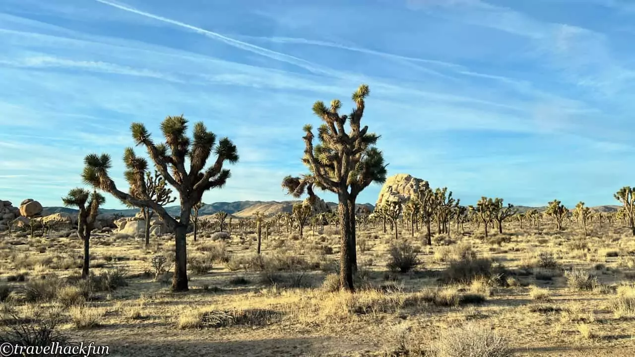
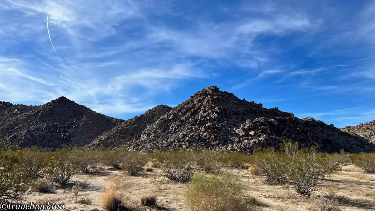
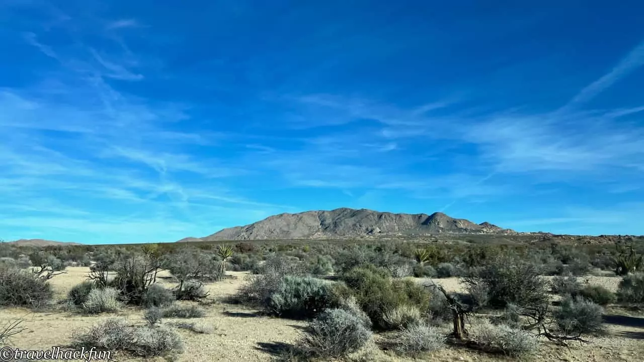
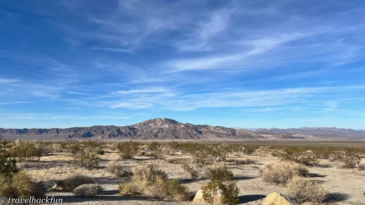
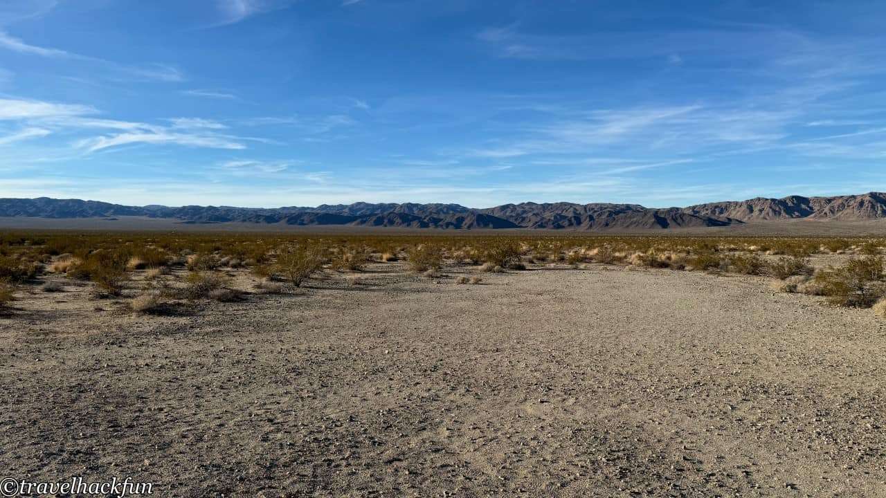
Joshua Tree National Park (Joshua Tree National Park) is located in southeastern California, about three hours from Los Angeles, California. It encompasses more than 800,000 acres and straddles two deserts: the Colorado Desert and the Mojave Desert. As a result, the desert landscape of Joshua Tree National Park includes two distinct desert ecosystems. When you visit the park, nothing stands out more than the large Joshua trees and the strange rocks. Joshua trees are not actually trees, but rather a type of Yucca plant, which has a strange appearance and strong vitality, and is often surprising to see in person for the first time, giving the desert landscape of Joshua Tree National Park a distinctive charm. It is also the most suitable national park for rock climbing. Even if you don't usually engage in rock climbing, you will always be attracted by the boulders and can't help but climb a bit when you are here.
Joshua Tree National Park | Itinerary
Given the vast expanse of Joshua Tree National Park, it's recommended to plan a two-day one-night or three-day two-night trip. The entire park can be broadly divided into four sections based on the concentration of main attractions:
- Park Boulevard West Side: This area mainly includes the section from the West Entrance to Hidden Valley and the surrounding attractions. It can be scheduled for 2 hours to half a day.
- Park Boulevard East Side: Features unique rock landscapes such as Skull Rock and Split Rock. If you're only taking short trails, it takes about two hours. If you have time, adding the Geology Tour Road is recommended.
- Keys View Road: Heading south from Hidden Valley, this area includes attractions such as Cap Rock, Hall of Horrors, the surroundings of Ryan Mountain, and Keys View. This zone is usually the most popular area of the park and requires at least half a day. Additionally, it's important to note that parking space here is limited and with many popular attractions, there may be traffic control when it's busy. Visiting in the morning can help avoid disruptions to your schedule.
- Pinto Basin Road: Located in the southeastern direction towards Cottonwood, this area includes the Cholla Cactus Garden and Cottonwood Spring. Due to the distance, a round trip might take about 3 hours.
Depending on your personal preference, you may need at least one and a half to two full days to visit the above attractions. If you have more time to spare, you may consider spending more time at Hall of Horrors to practice rock climbing, find longer trails to hike, or even explore the lesser-visited Black rock campground and trails in Highway 62 area.
Joshua Tree National Park | Accommodations
Joshua Tree National Park does not have hotels within the park; the only on-site accommodation option is camping. If you need to stay in a hotel, you'll have to look in the nearby towns. For proximity to the park, consider staying in Joshua Tree Town or Twentynine Palms, which are closer to the West Entrance. If you're looking for higher-end resort accommodations, the best choice would be to stay in Palm Springs.
Find a stay at Joshua Tree Town
Find a stay at Palm Springs
Find a stay at Twentynine palms
Joshua Tree National Park | Camping Tips
Jumbo Rocks Campground
- Comfort: ⭐️⭐️⭐️⭐️
- Space: ⭐️⭐️⭐️
- Cleanliness: ⭐️⭐️⭐️⭐️
- Convenience: ⭐️⭐️⭐️⭐️⭐️
- Overall: ⭐️⭐️⭐️⭐️
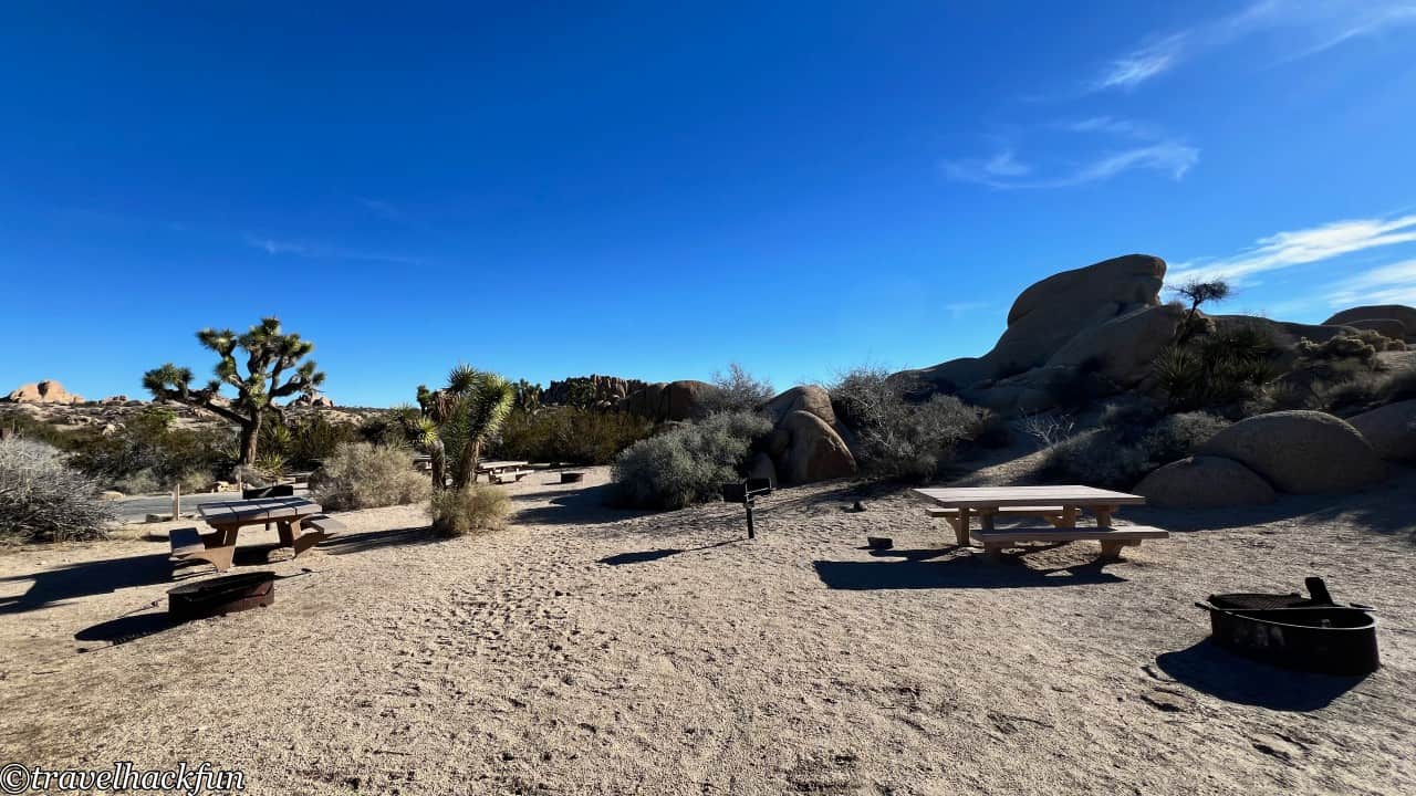
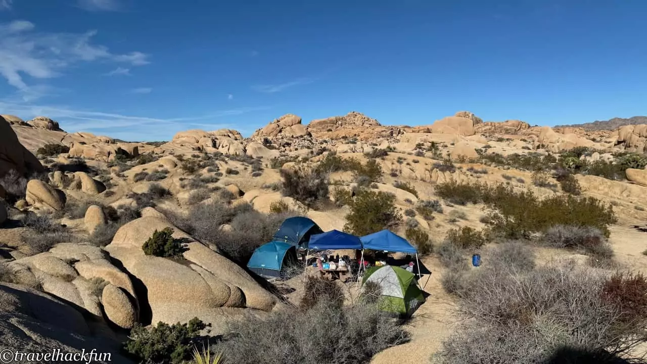
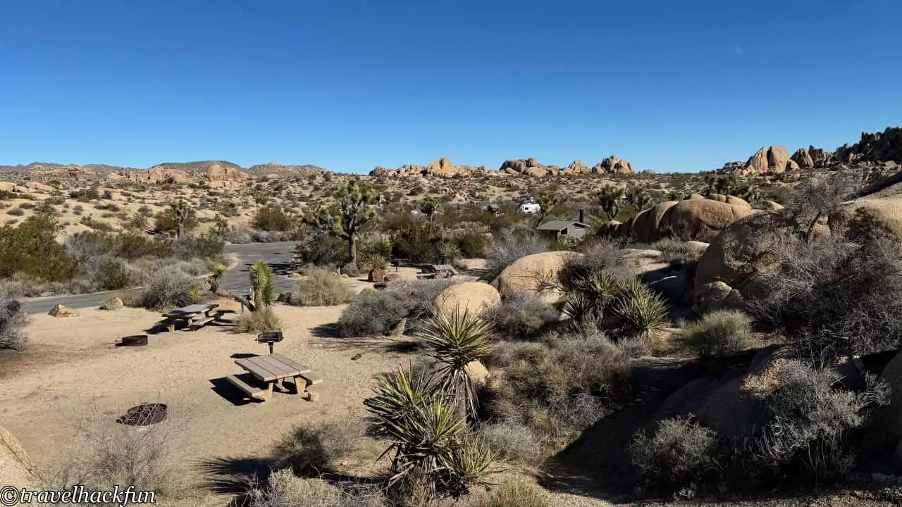
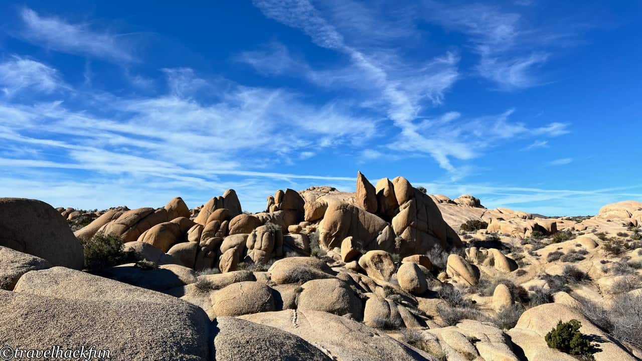
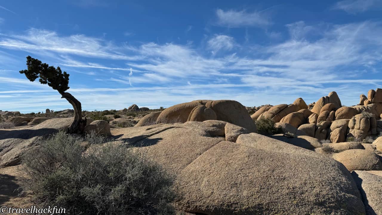
Jumbo Rocks Campground is conveniently located on the east side of Park Boulevard, very close to Skull Rock, making it very convenient for those wanting to explore the eastern part of the park. However, the campsites are quite close to each other, and there's no water supply or flush toilets available, so those who prioritize facilities or privacy might need to take note. Overall, the campground is maintained very cleanly. Since we visited in the winter, the temperature in the desert dropped significantly after nightfall, and most people chose to sleep in their vehicles, so it was relatively quiet. You can climb up the Jumbo Rock located behind the campground, which is generally not visited by non-camping tourists, but it's actually a nice spot, which is a plus.
Black Rock Campground
- Comfort: ⭐️⭐️⭐️
- Space: ⭐️⭐️⭐️⭐️
- Cleanliness: ⭐️⭐️⭐️⭐️
- Convenience: ⭐️⭐️⭐️⭐️
- Overall: ⭐️⭐️⭐️⭐️
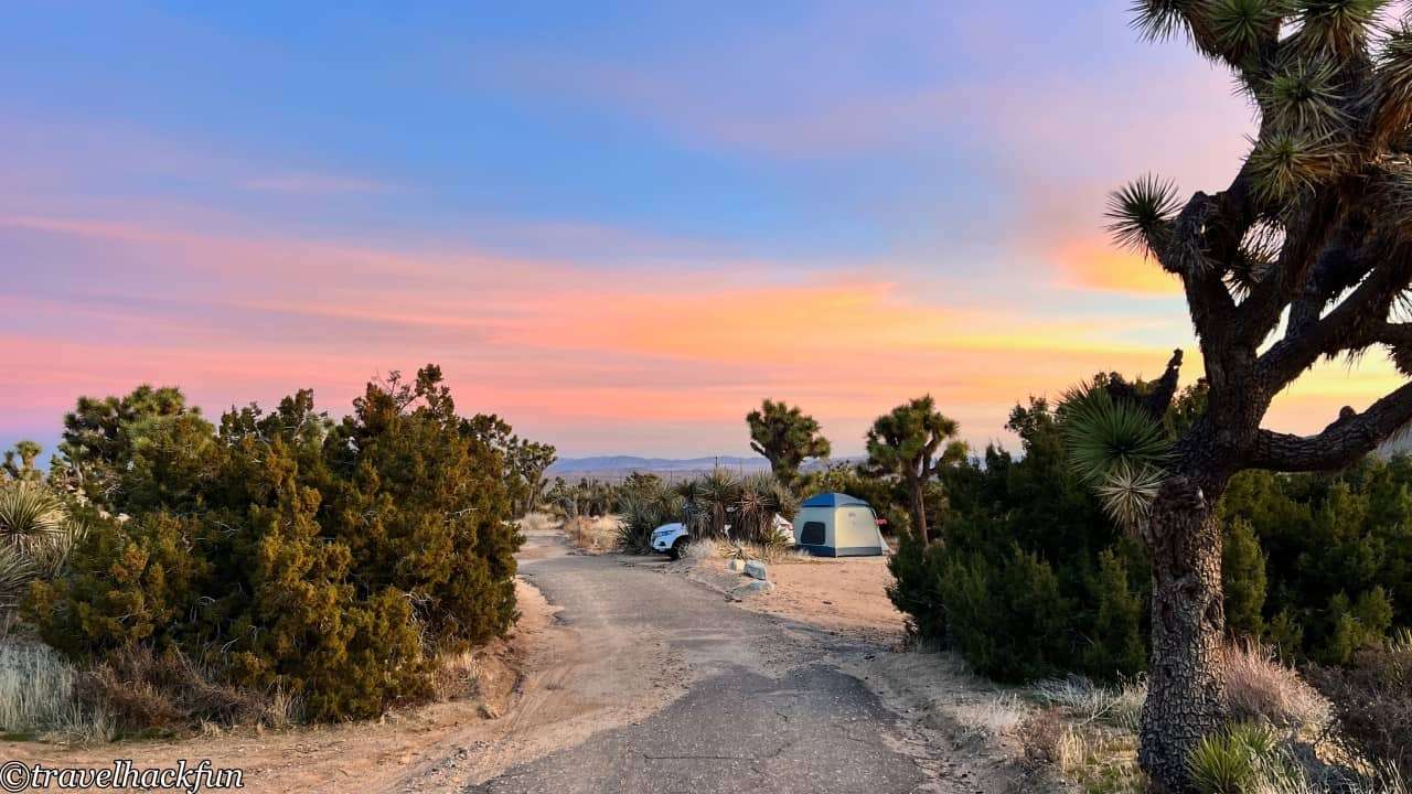
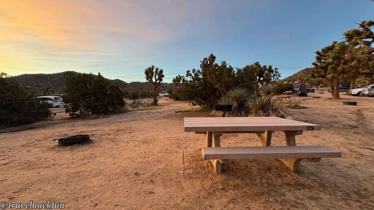
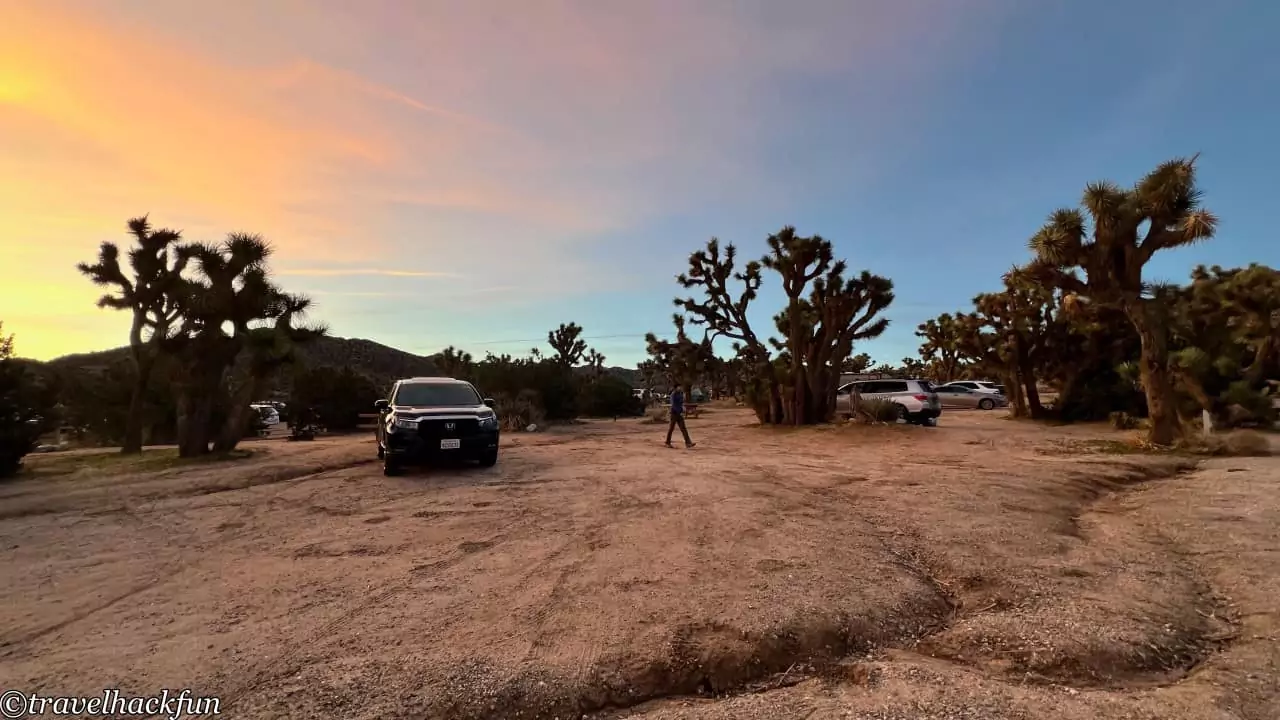
Although Black Rock Campground is also a national park campsite, it's located outside the West Entrance, making it a bit farther from the main attractions. The campground is large, and the site we stayed at was somewhat uneven, possibly due to past flooding. However, the facilities here are more comprehensive, including flush toilets, among others. There are actually many longer trails near Black Rock Campground, making it a very convenient camping spot for those interested in hiking these trails. If you've visited Joshua Tree National Park multiple times and have already explored the main attractions, spending more time in this area is also a great choice.
Joshua Tree National Park | Attractions
Park Boulevard West Side
Must Do | Hidden Valley Trail
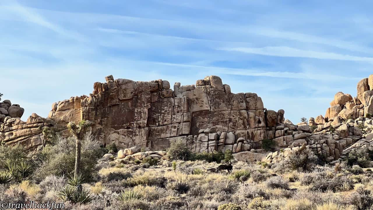
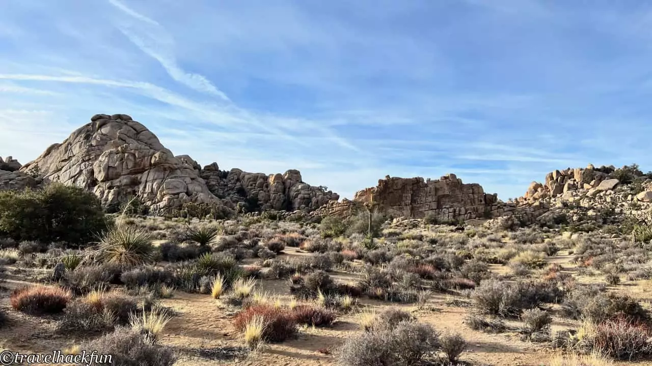
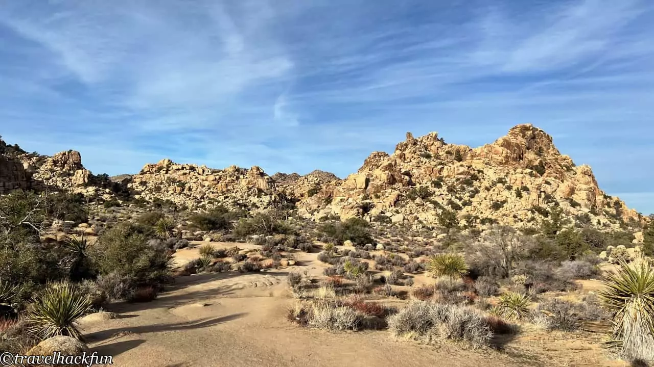
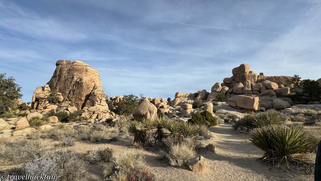
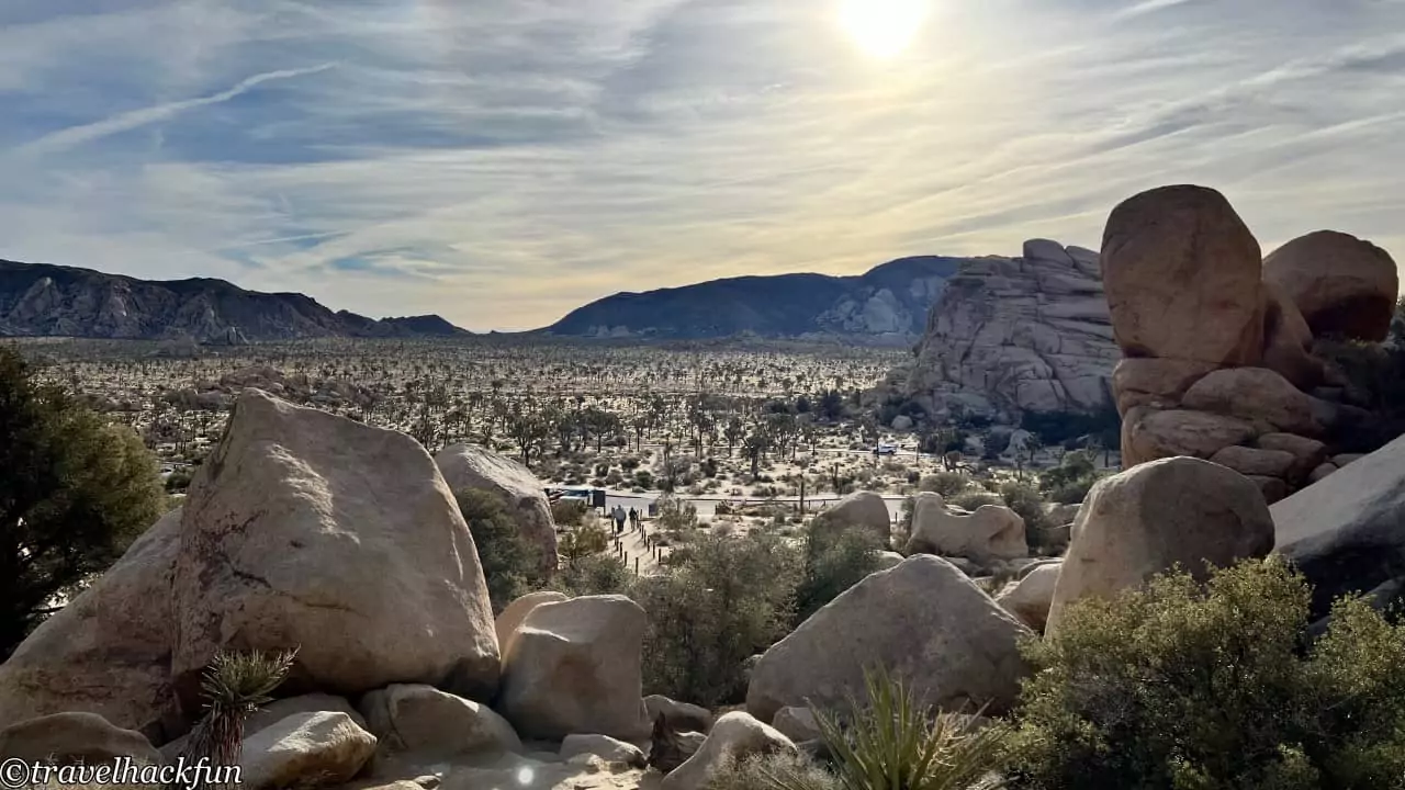
The Hidden Valley trail is about only 1 mile long, winding around a small valley surrounded by huge boulders. This valley is rumored to have been a hiding spot for 19th-century outlaws and offers views of Joshua trees and unusual rock formations, making it one of the must-visit trails in Joshua Tree National Park. The best times to walk this trail are in the early morning or at dusk. We made it our first stop after waking up in the morning, when there were fewer people and the lighting was beautiful.
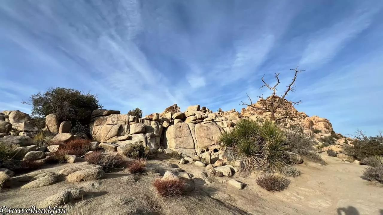
The initial part requires a bit of an uphill climb, but this trail is really user-friendly. The uphill sections have stairs, making it quite accessible. After a short climb and passing a few large rocks, the path opens up, revealing a crooked Joshua tree, marking the starting point of the nature loop. The trail becomes relatively flat after this, making for an easy walk.
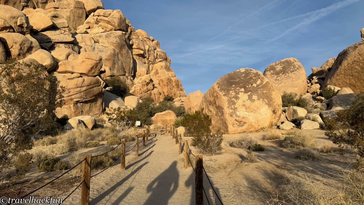
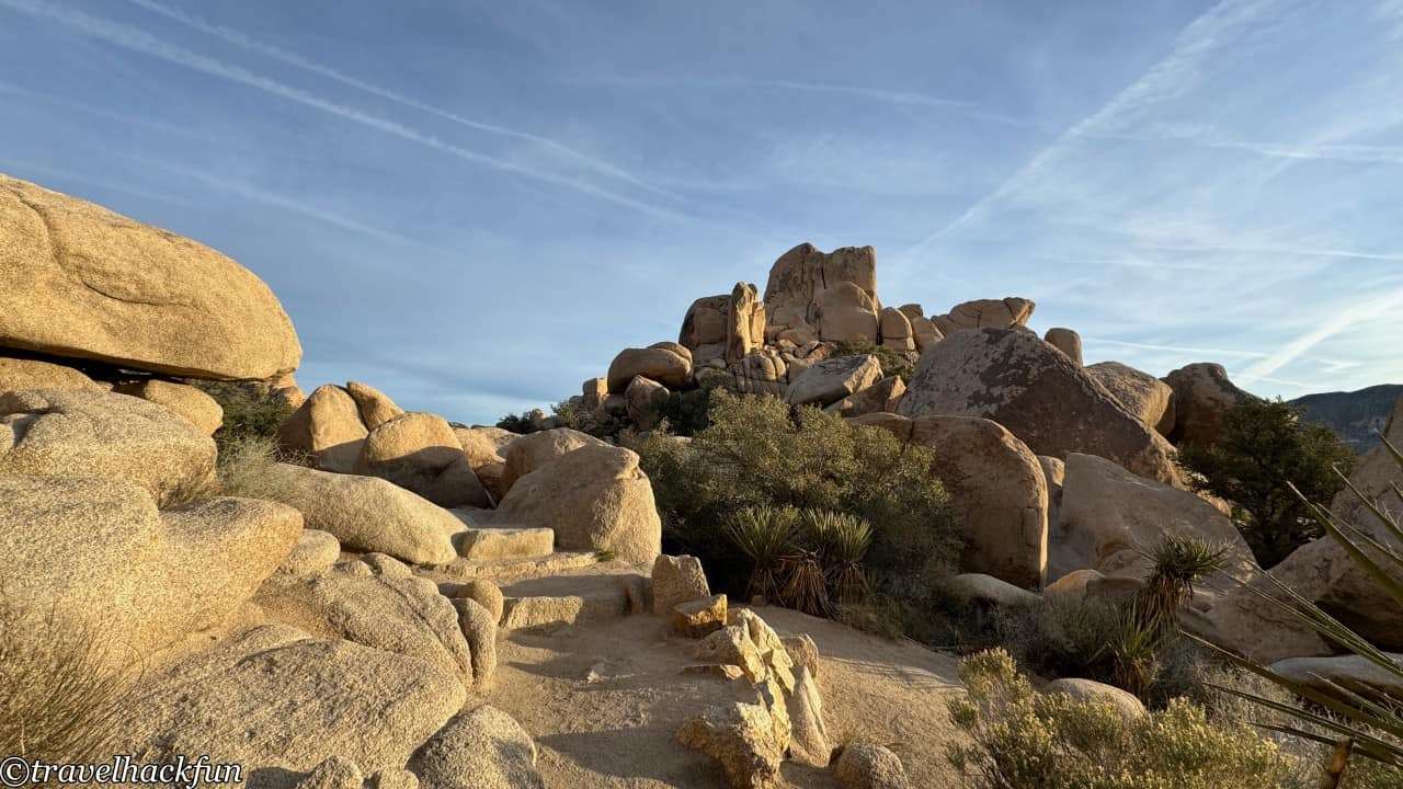
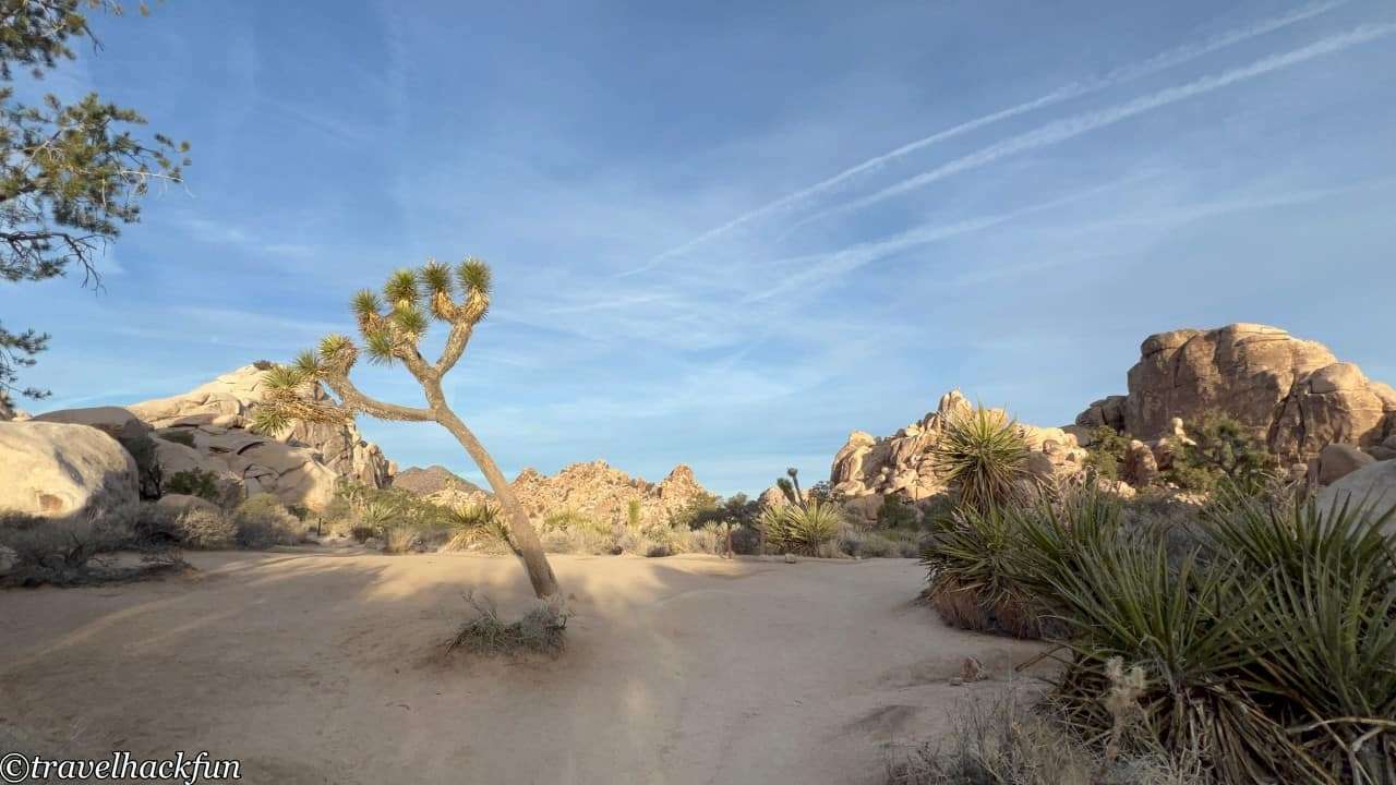
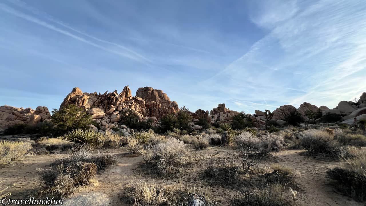
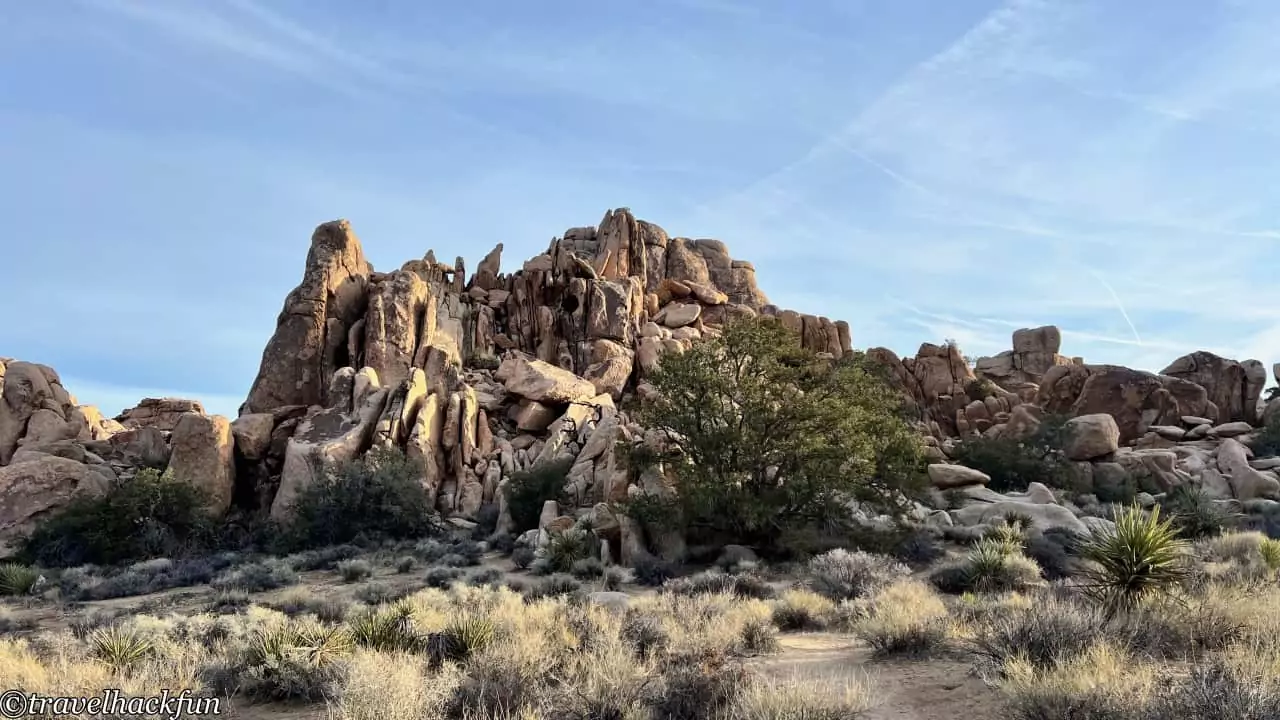
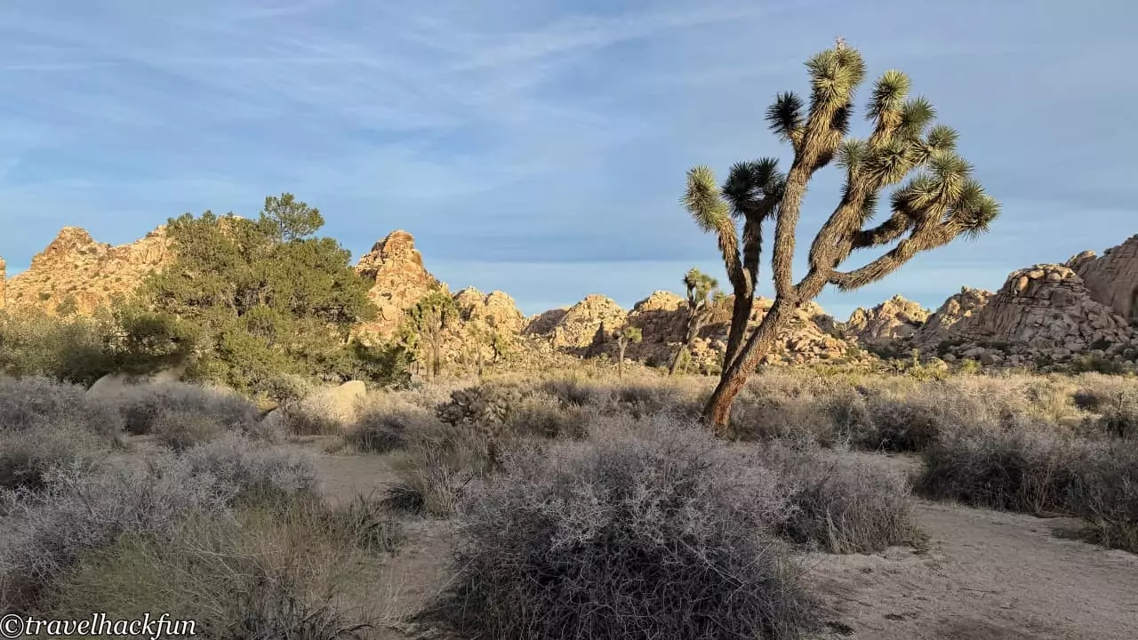
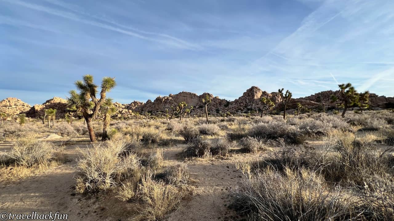
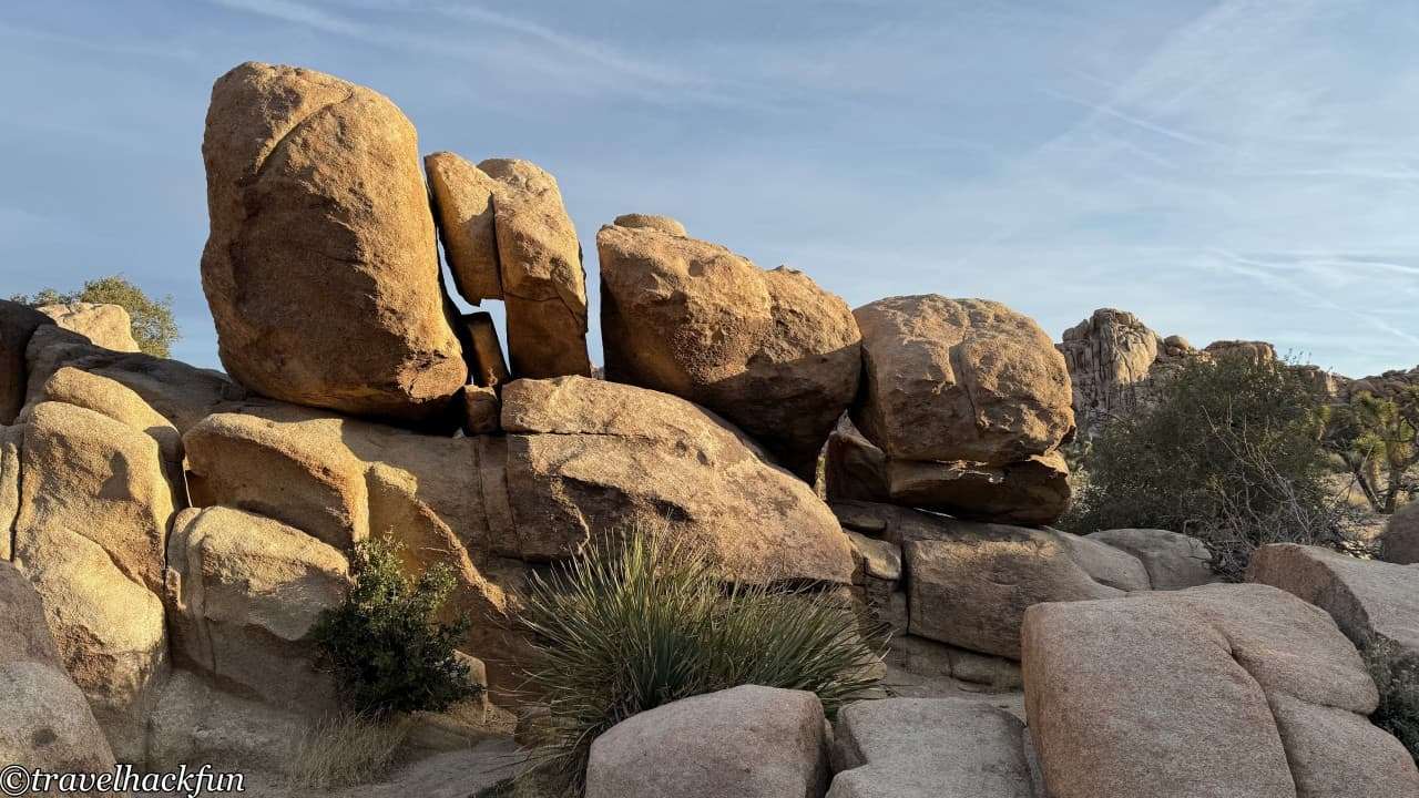
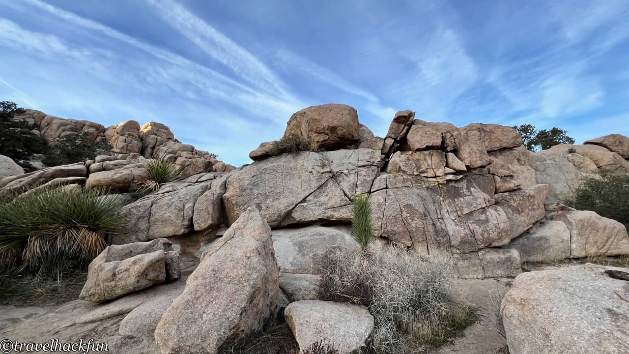
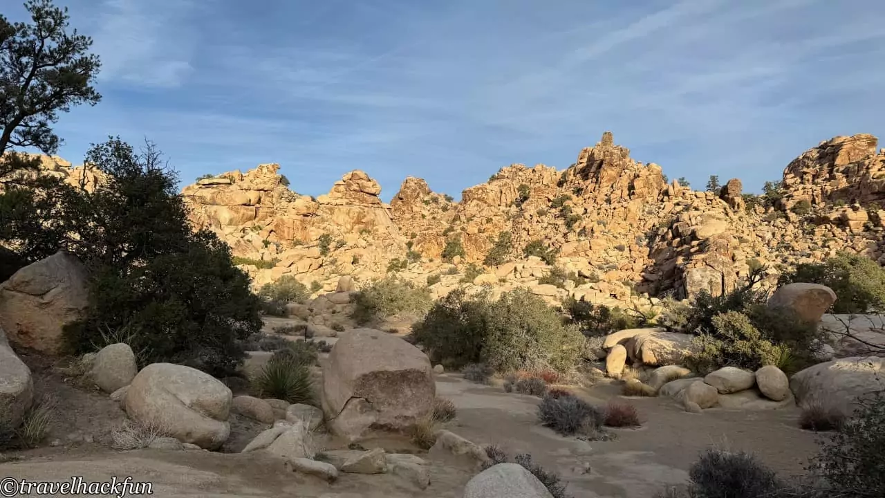
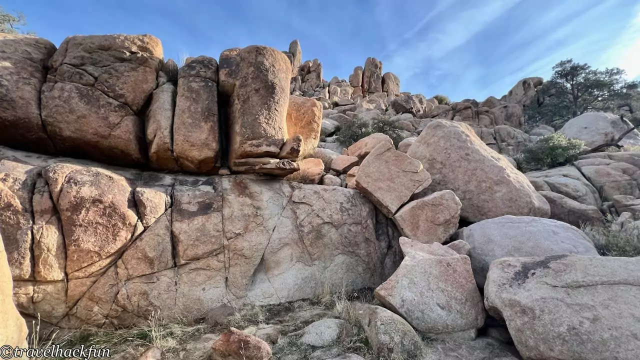
The rock landscapes along the trail are quite special, with numerous large boulders. In the middle of the route, you'll encounter one of the park's named rocks, the cow-shaped Cow Rock. It's actually located above the middle of a large rock wall, and compared to the surrounding landscape, it appears rather small, making it easy to miss if you're not paying attention.
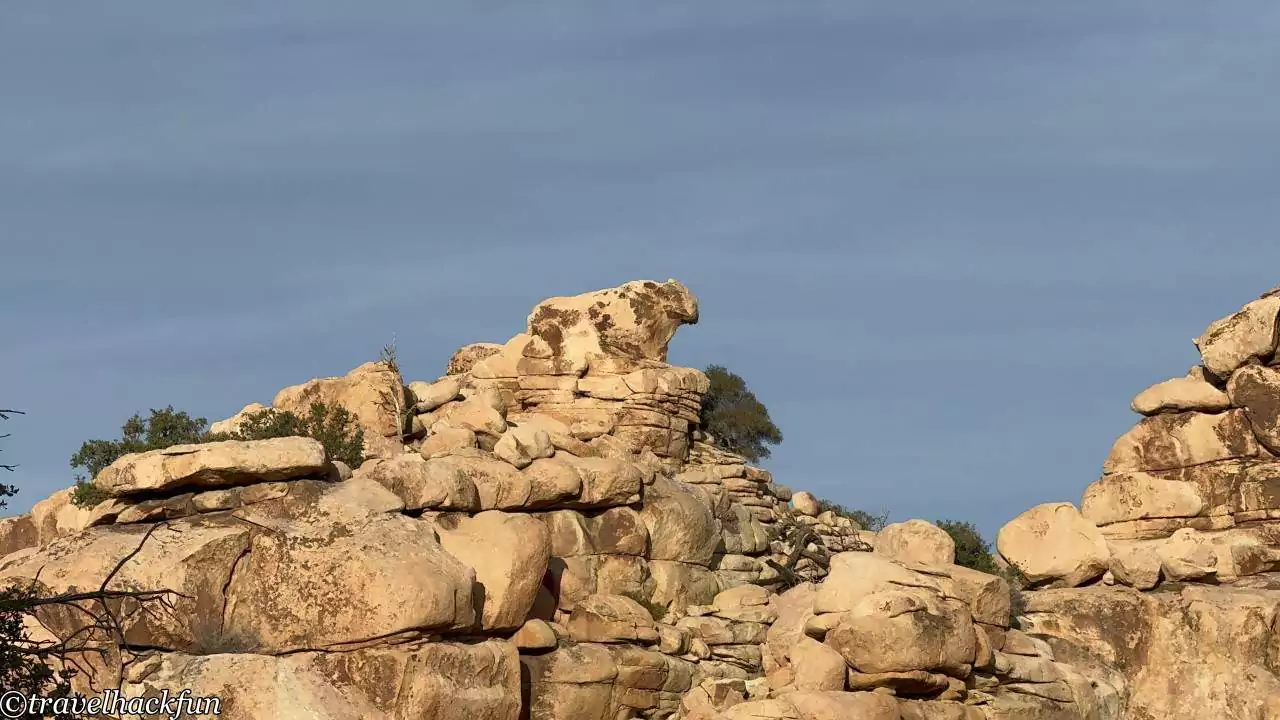
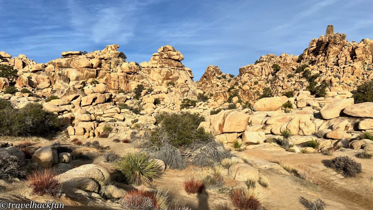
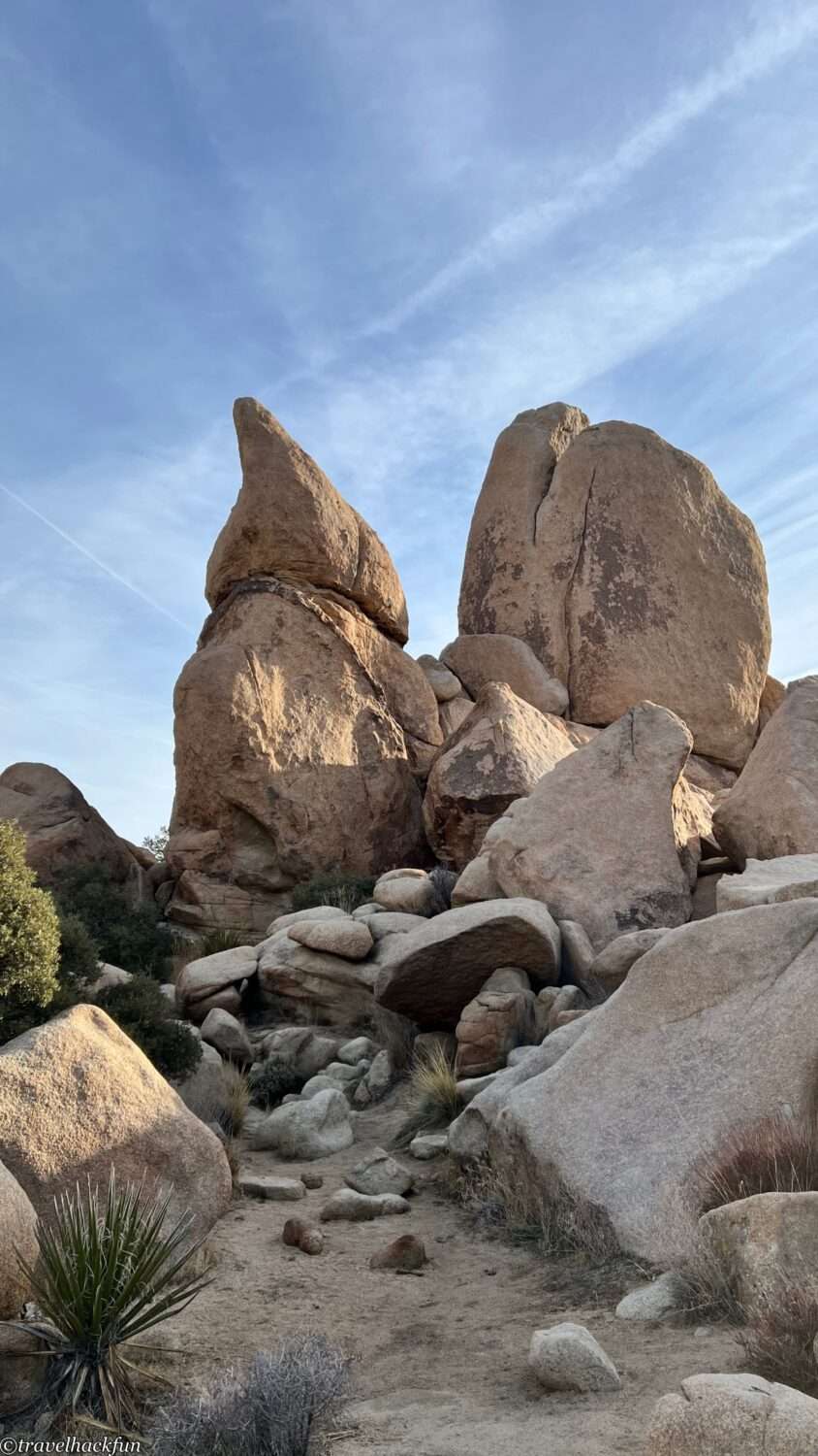
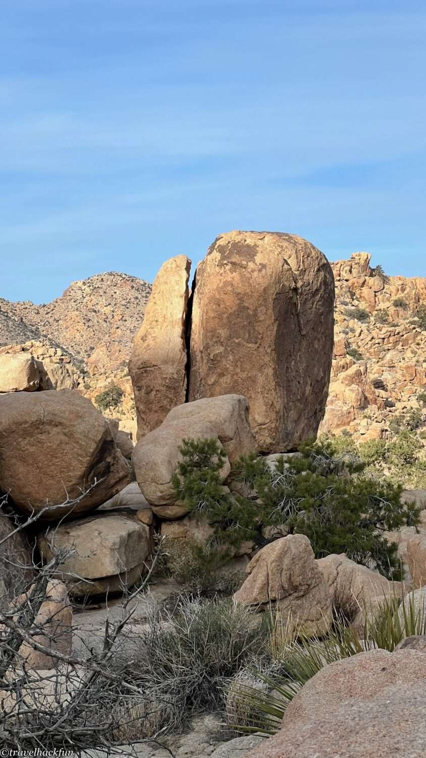
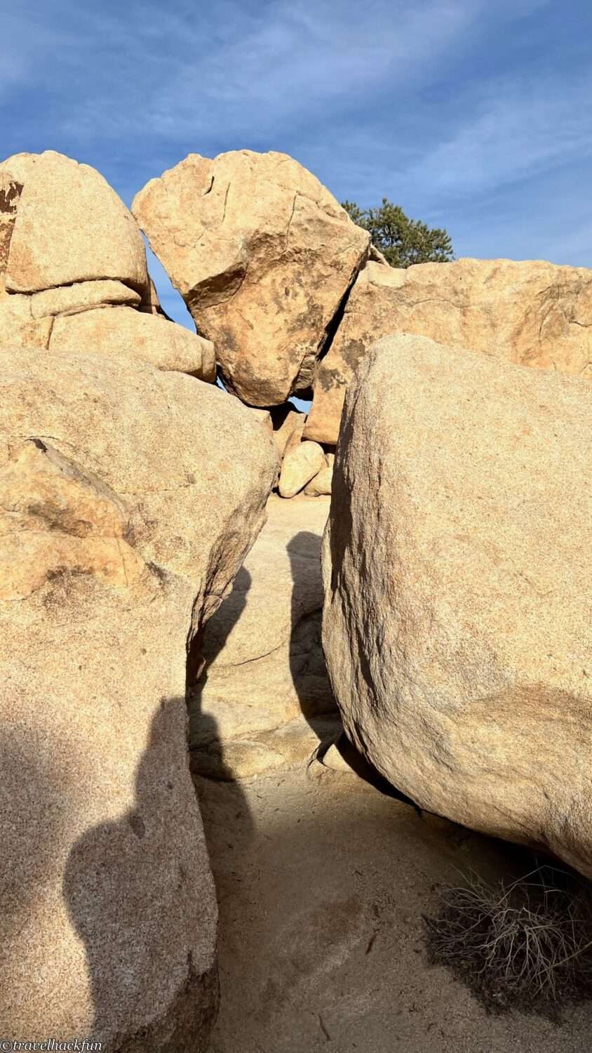
The rocks here are granite, which tends to collect water and thus is prone to erosion and cracking. Hidden Valley has experienced more erosion compared to other areas of the park, resulting in a landscape filled with numerous fractured rocks and cracks. This is due to its relatively ancient geological age. The sand on the paths we walked on is also made up of eroded and fragmented granite. In fact, many animals and birds make their homes in these crevices.
Intersection Rock
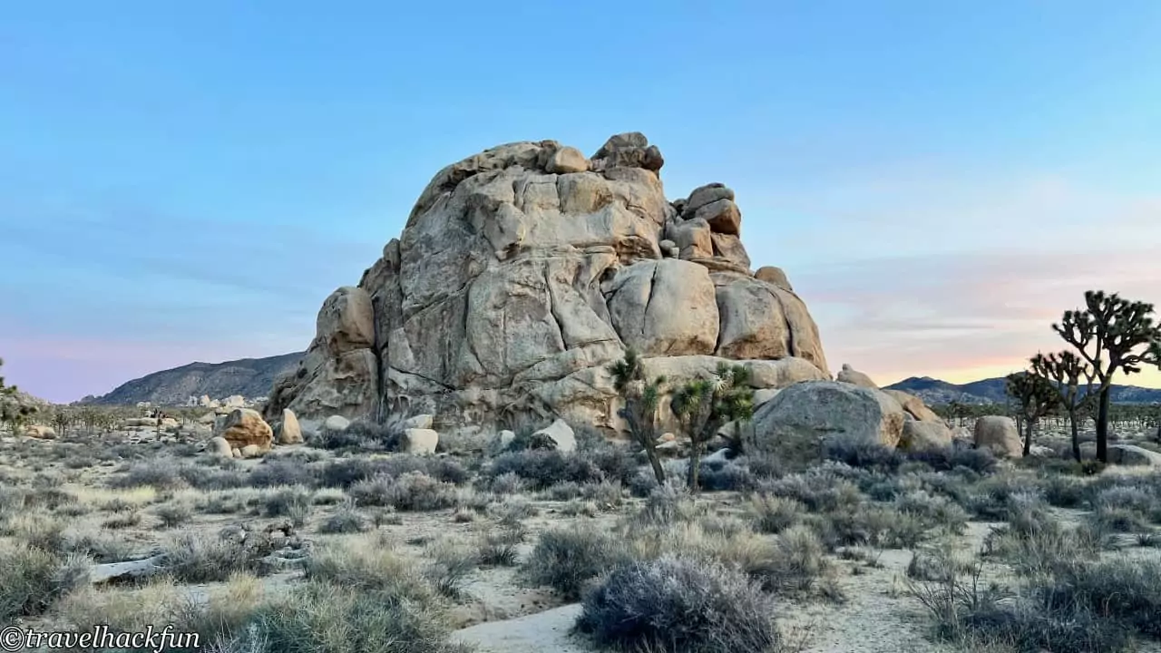
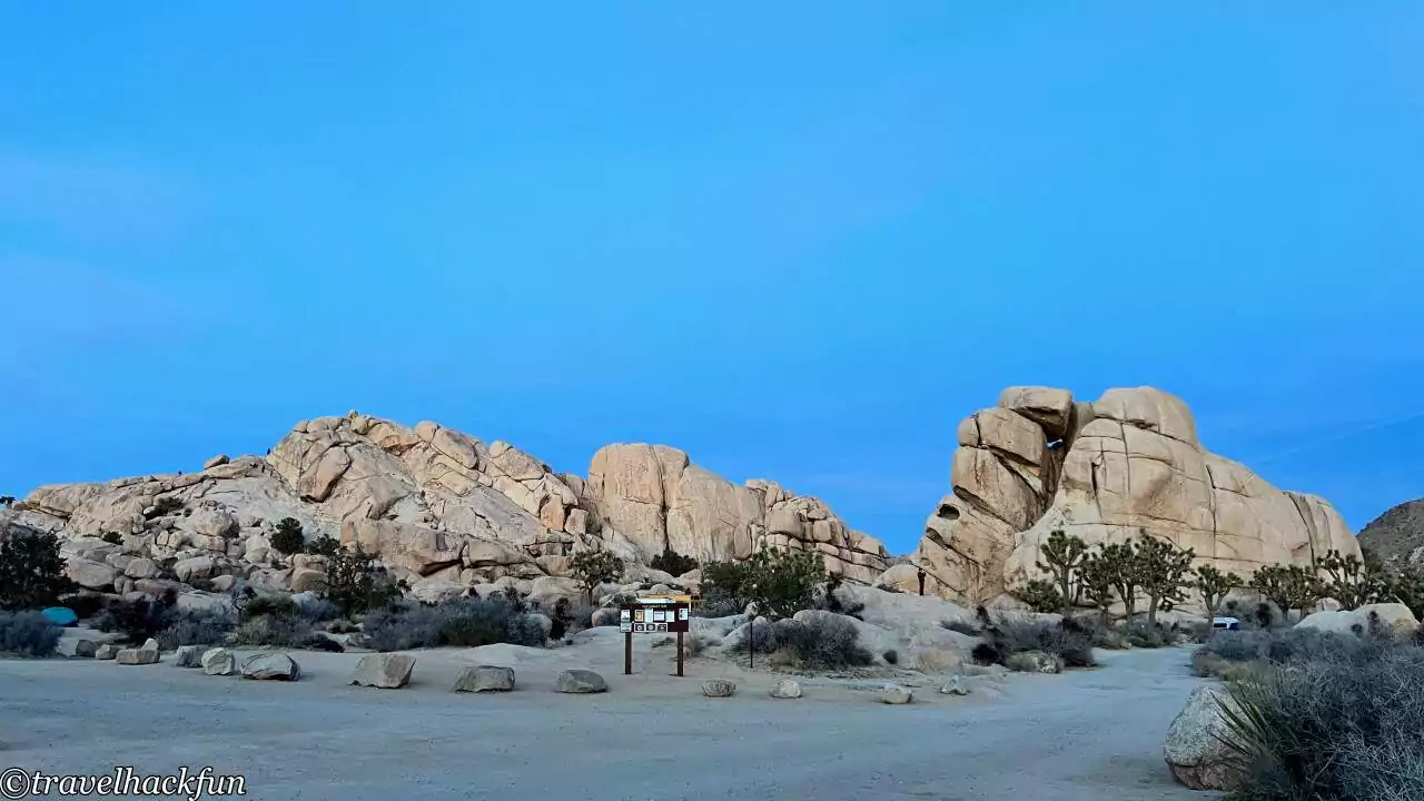
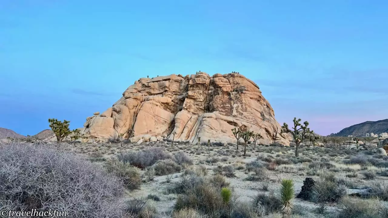
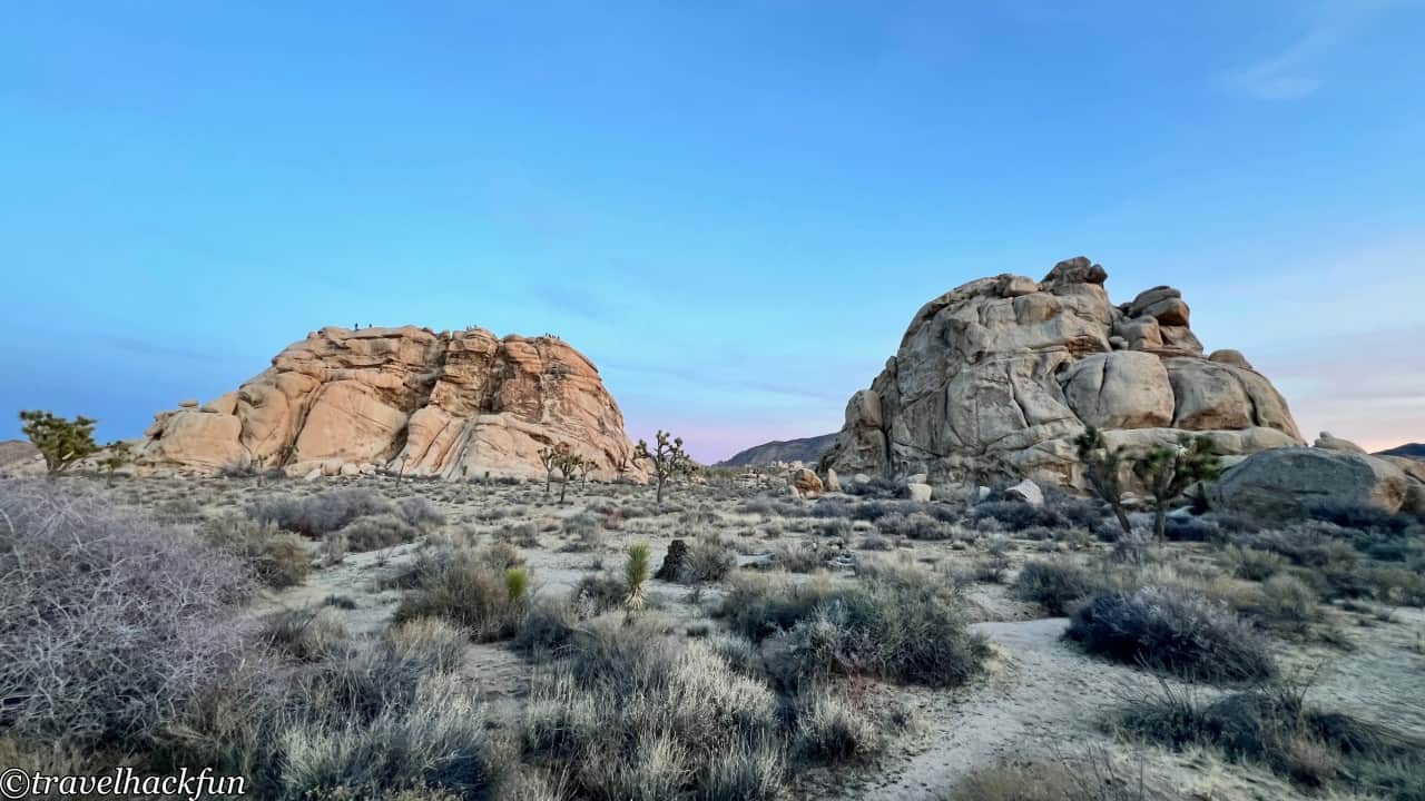
Intersection Rock is a large boulder located at the intersection of the park's central road, Park Road, and Barker Dam Road, hence the name Intersection Rock. It is the most popular rock climbing spot in Joshua Tree, with the park officially listing forty climbing routes on this single rock. It is also the location of the Hidden Valley Campground, which cannot be reserved in advance, but offers a prime location, especially for those who are keen on rock climbing. If you're interested in climbing here, it's advisable to arrive early, as its popularity means that parking spots are in high demand.
Cyclops Rock
Facing the intersection rock on Barker Dam Road is Cyclops Rock, which is also quite popular.
Barker dam trail
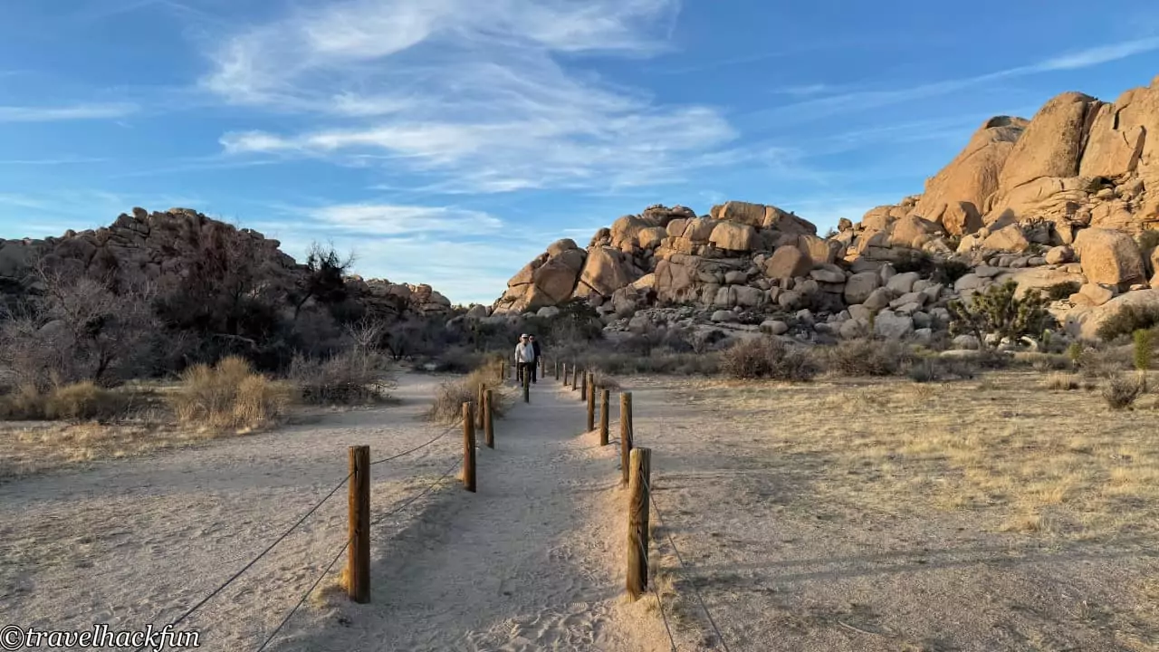
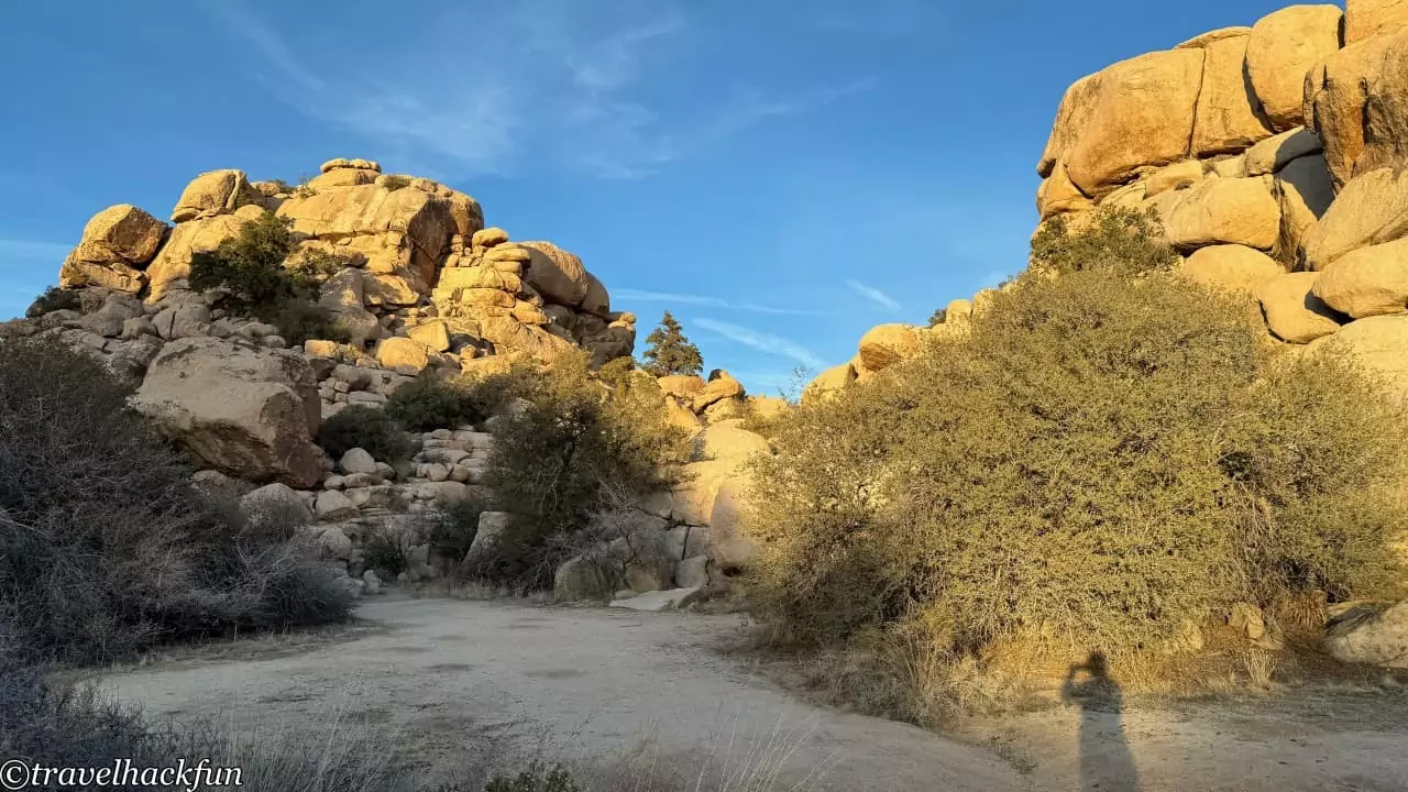
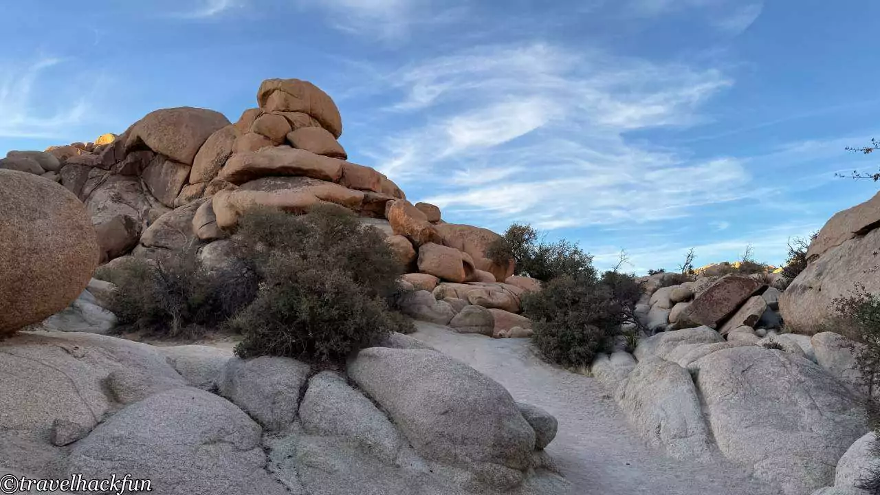
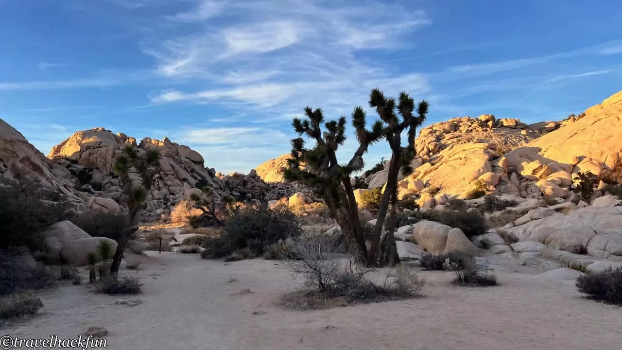
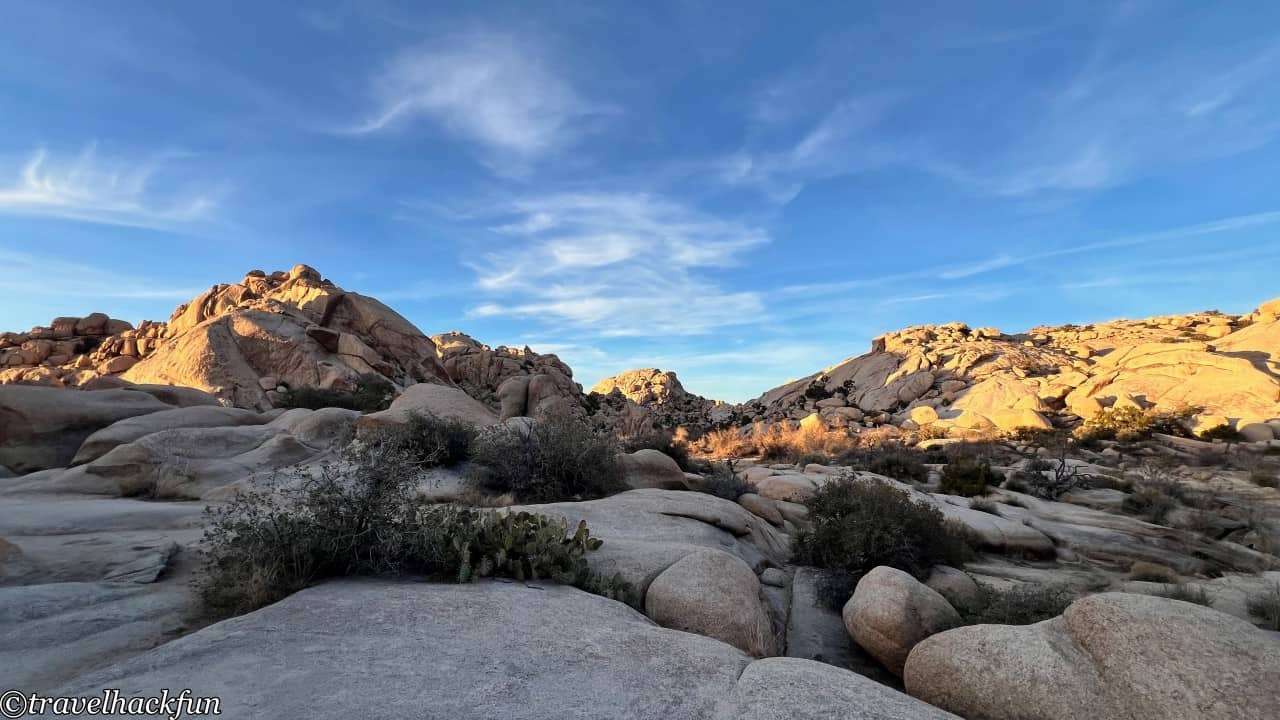
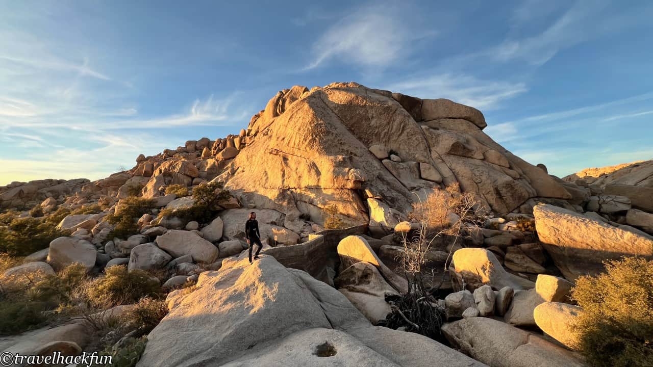
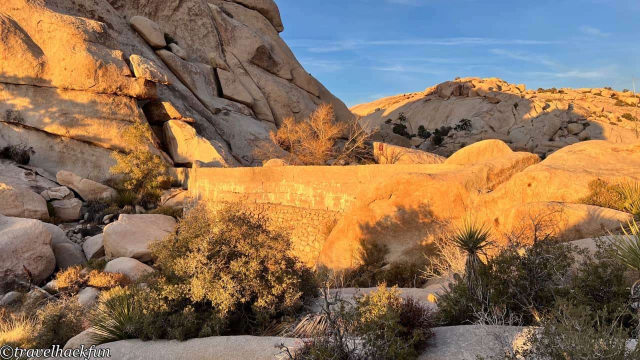
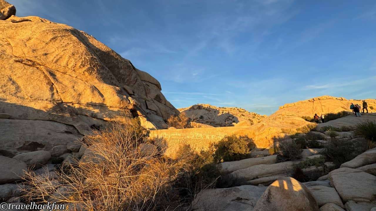
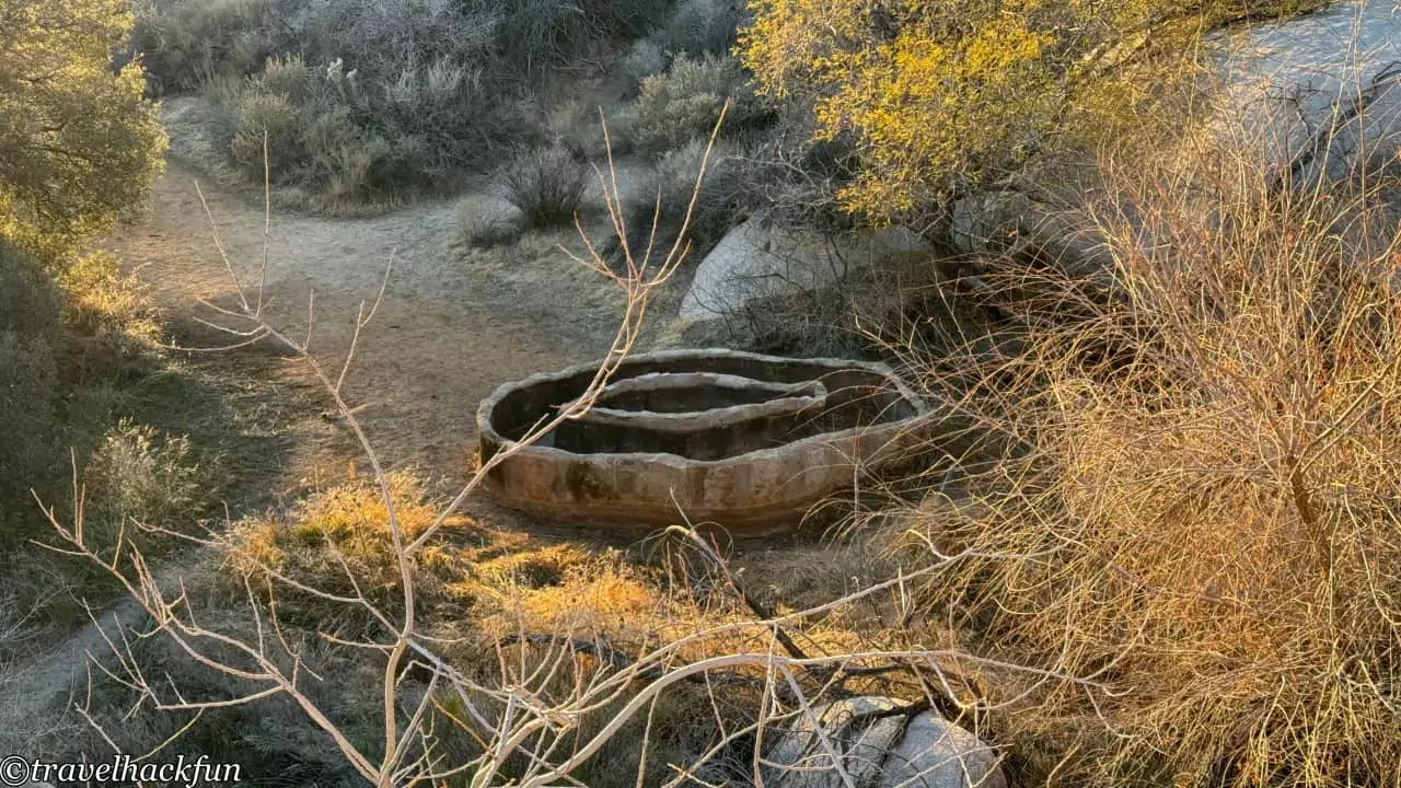
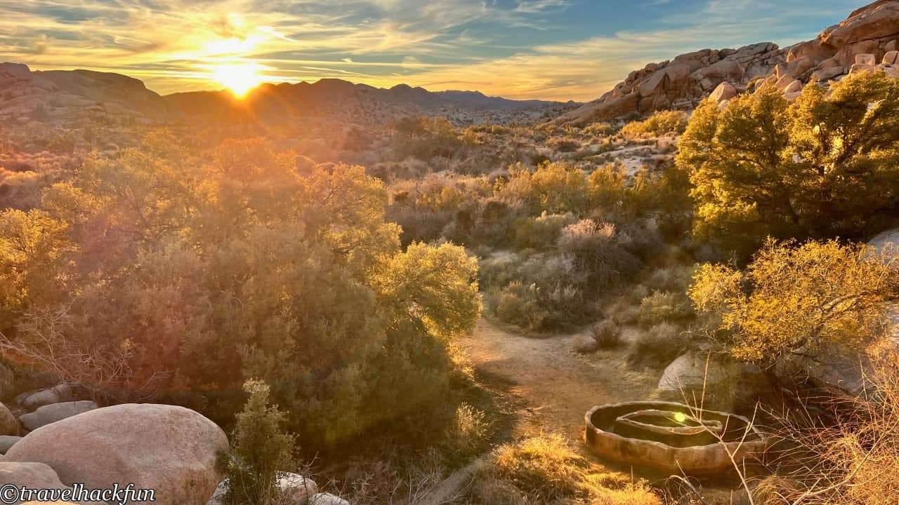
The Barker Dam Trail is a 1.1-mile long easy loop trail that leads to Barker Dam. This dam was manually constructed by early ranchers during the early 20th century when mining activities were still present within the national park, and it's adjacent to an interesting small reservoir. Since it's a rare source of water in the desert, it's quite easy to spot wildlife here. After reaching the end, you can continue on to a longer trail that leads to Wall Street Mill.
Park Boulevard East Side
Must-see | Skull rock
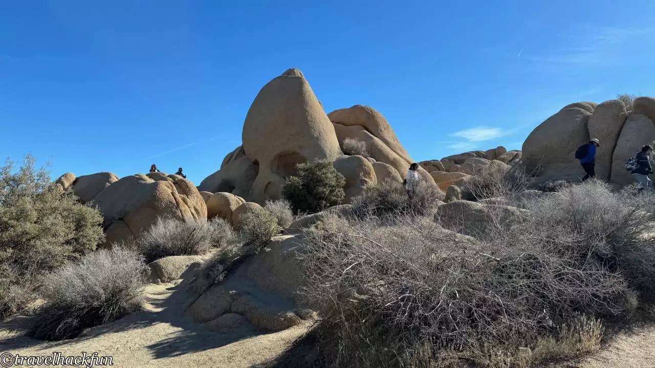
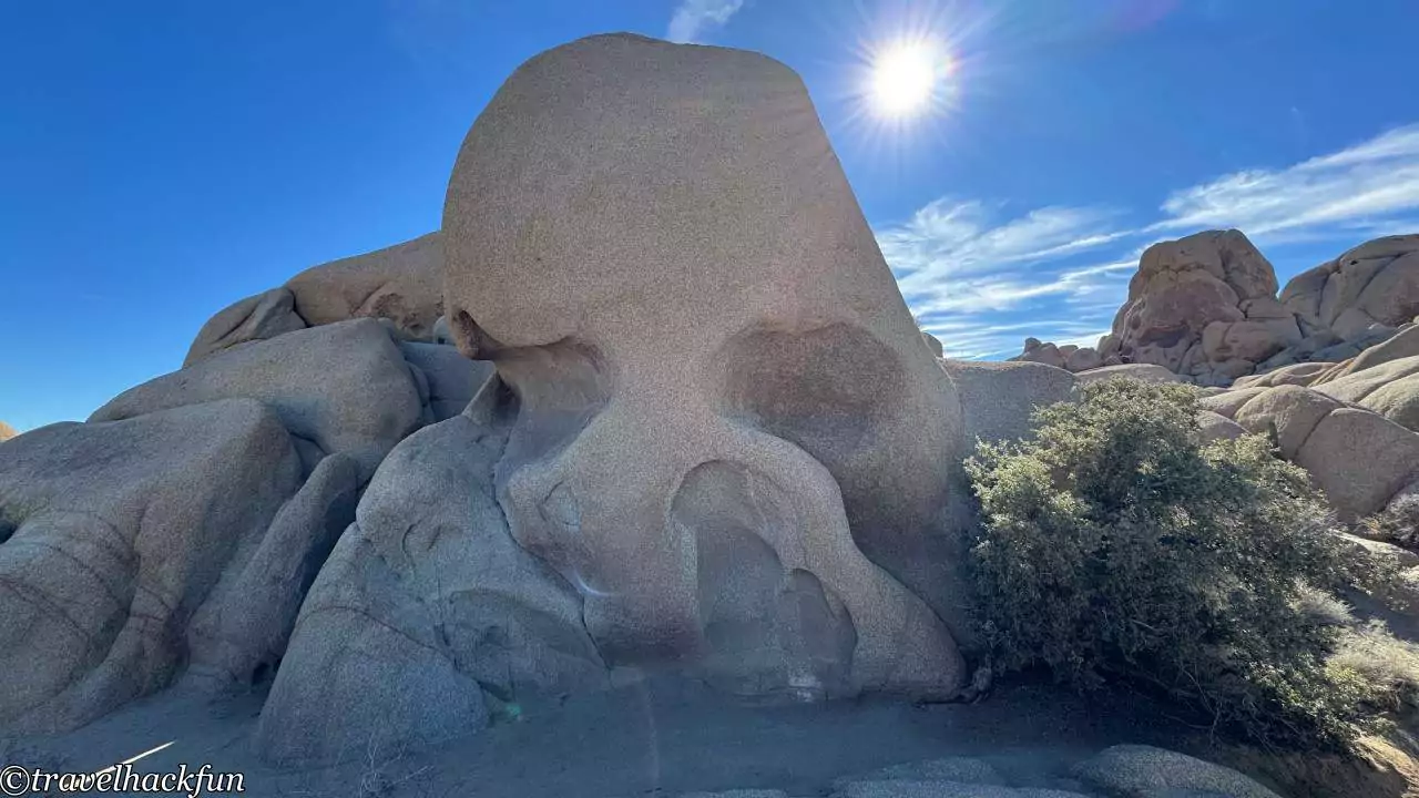
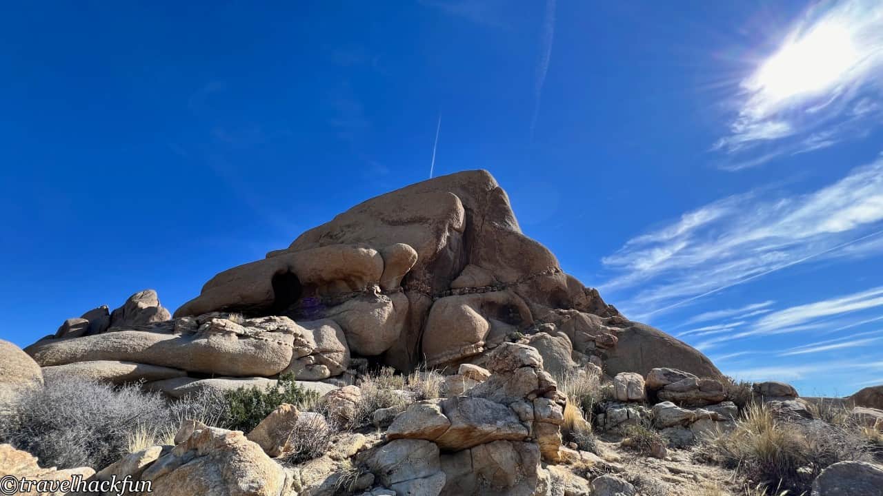
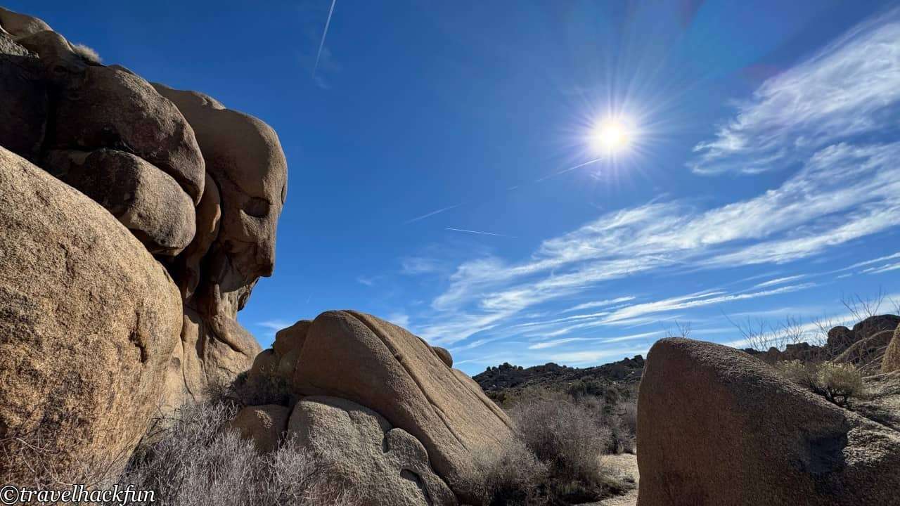
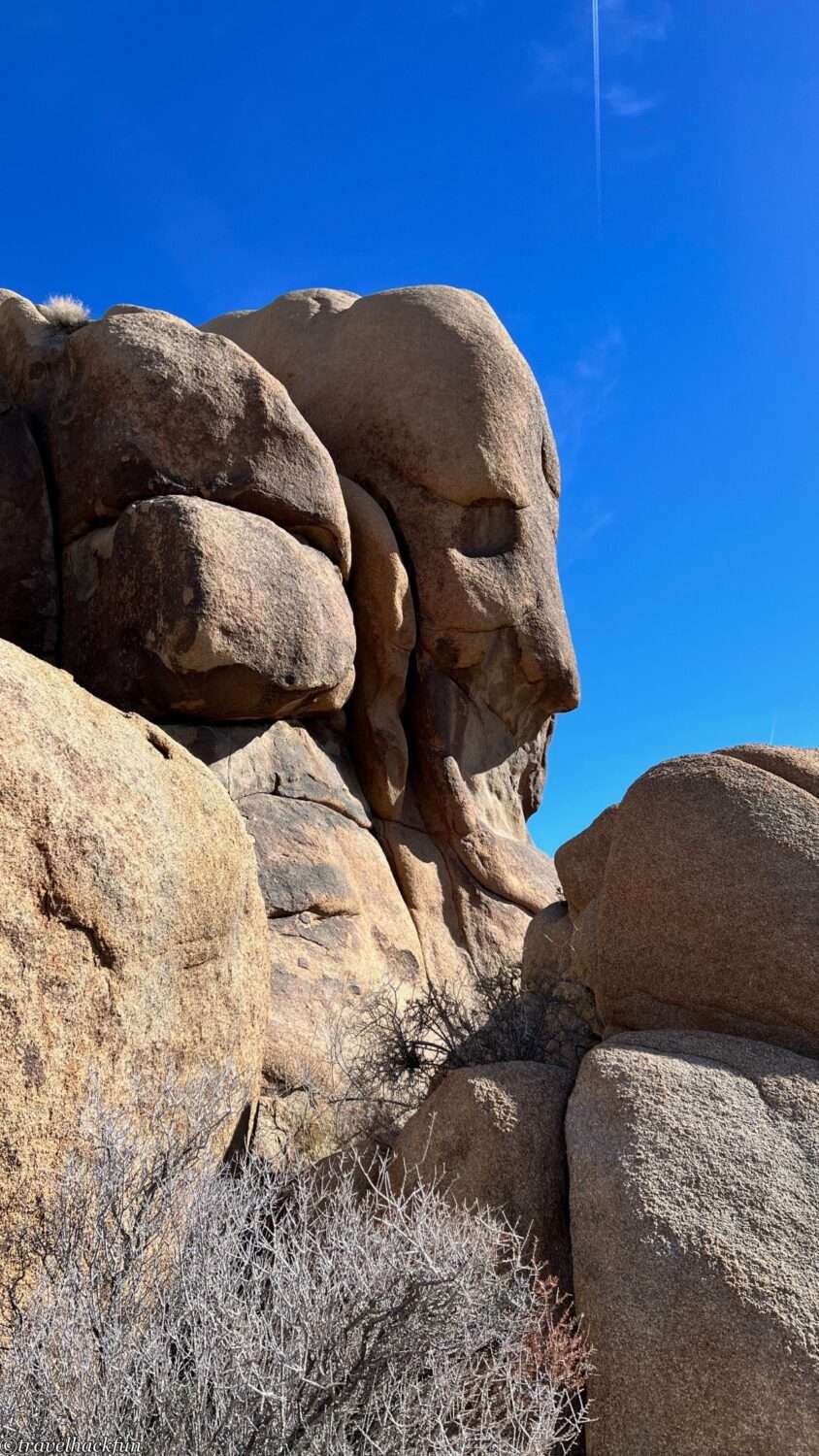
Skull Rock is a signature boulder in Joshua Tree National Park, with an appearance resembling a skull. Walking the Skull Rock Trail, the whole loop is 1.7 miles, but in reality, it can be seen from the main road by car.
Elephant Rock
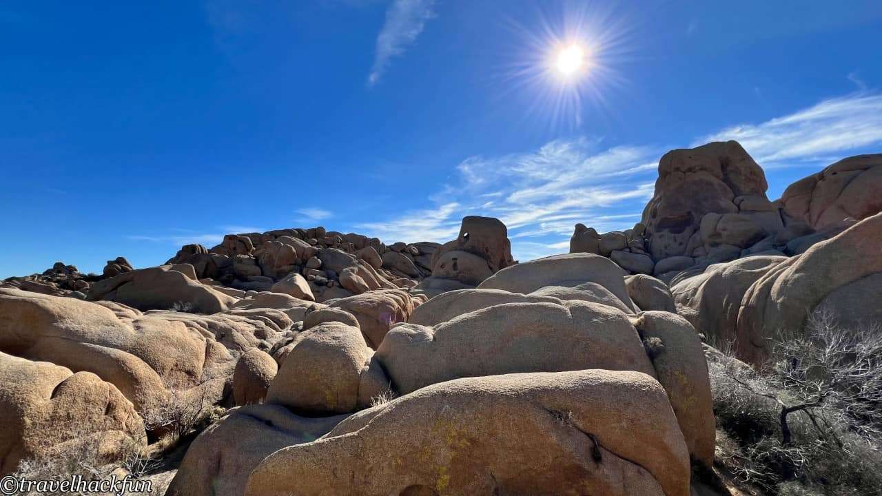
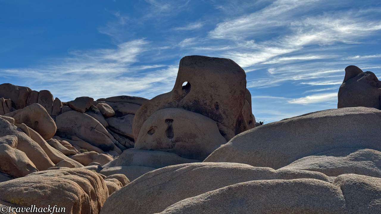
Elephant Rock is actually very close to Skull Rock, but because Skull Rock is large, close, and conspicuous, Elephant Rock, which is just a short walk away, is often overlooked. Facing Skull Rock, if you take the path to the right for a bit, you'll be able to see it. With a little climbing, you can get to a higher spot for a clearer view, and its shape really does resemble a large elephant.
Face Rock Trail
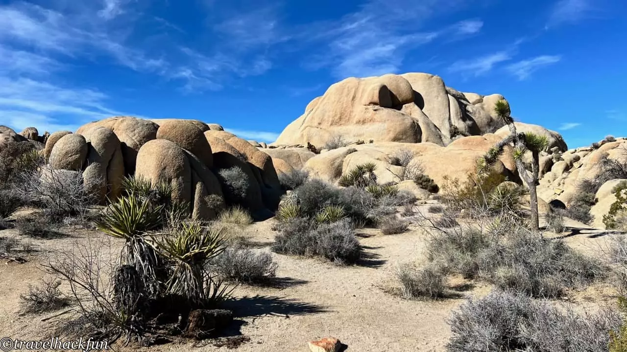
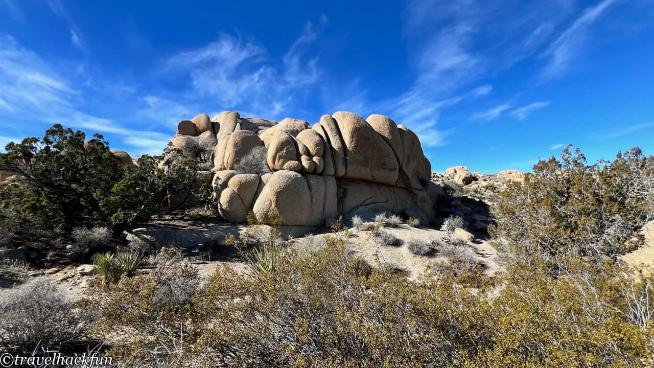
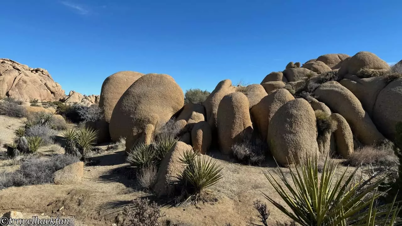
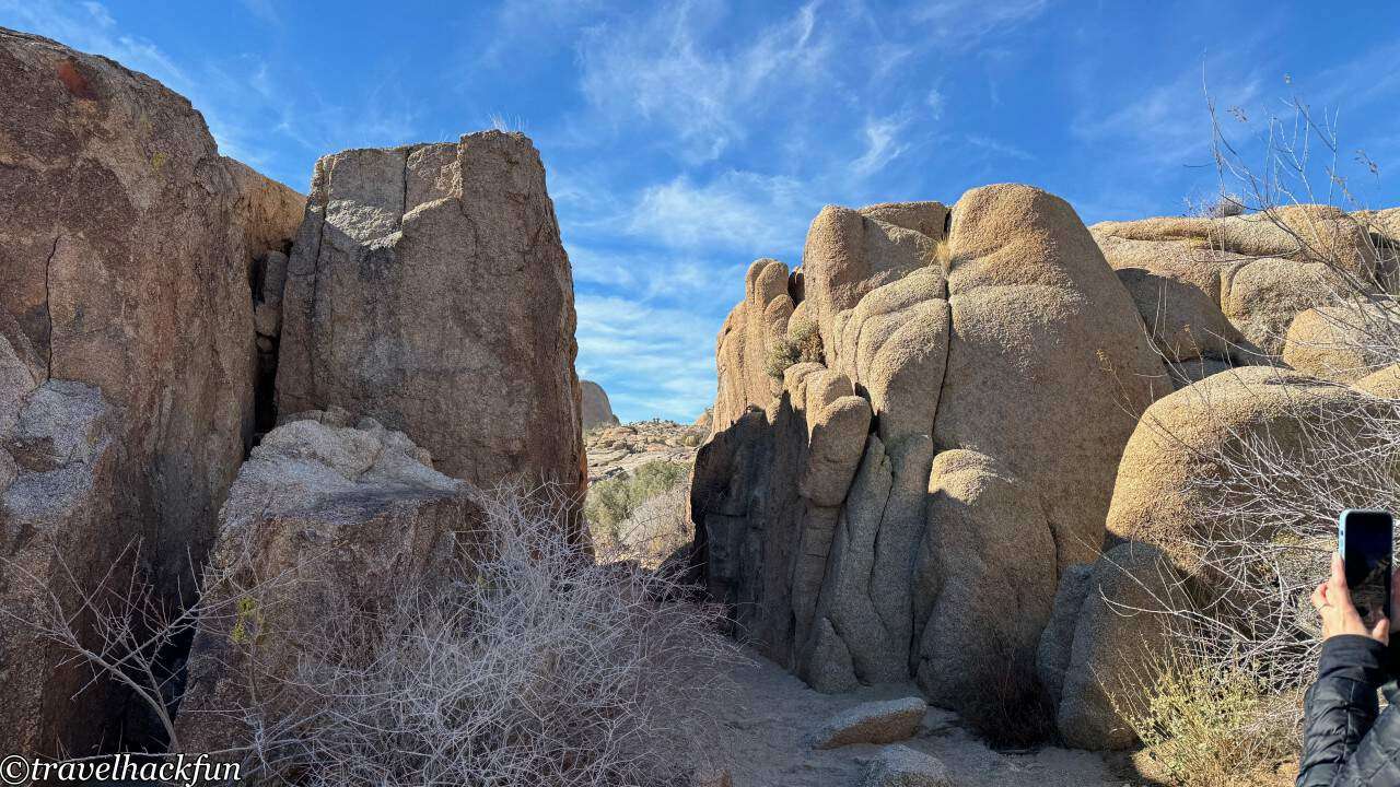
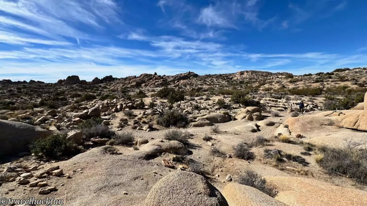
The Face Rock Trail can be accessed from the trailhead opposite Skull Rock and connects with the Discovery Trail. I find this trail particularly worth visiting. If you just walk to Face Rock, it's merely 0.38 mile, but you can also continue down to join the Split Rock Trail. There are many trails near Skull Rock, and it can be a bit confusing at first if you don't see the signs, but essentially, if you keep going forward, you'll get there. After passing Face Rock and continuing on, you'll reach Slot Canyon. This part of the trail is quite wide, offering clear views of the spectacular rocky mountainscape.
Must Do | Split rock trail
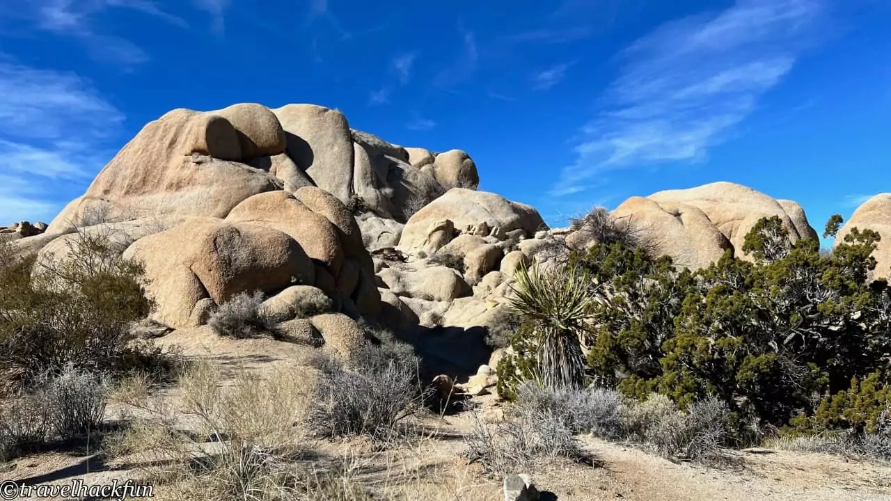
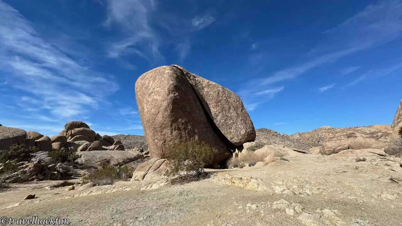
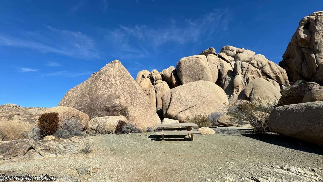
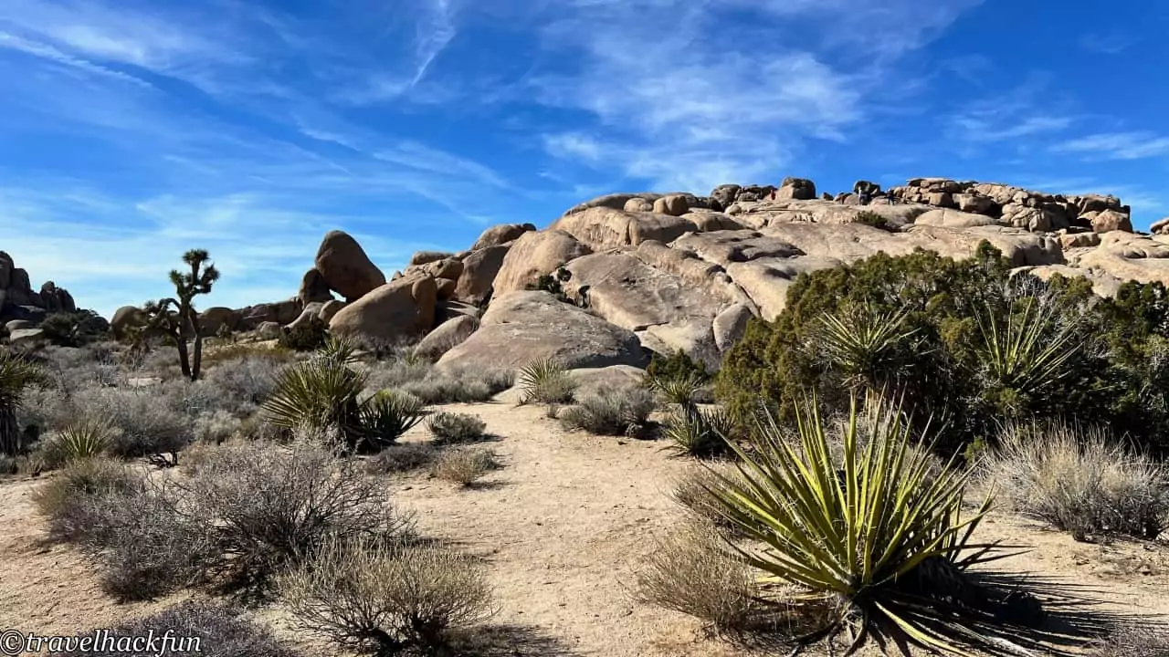
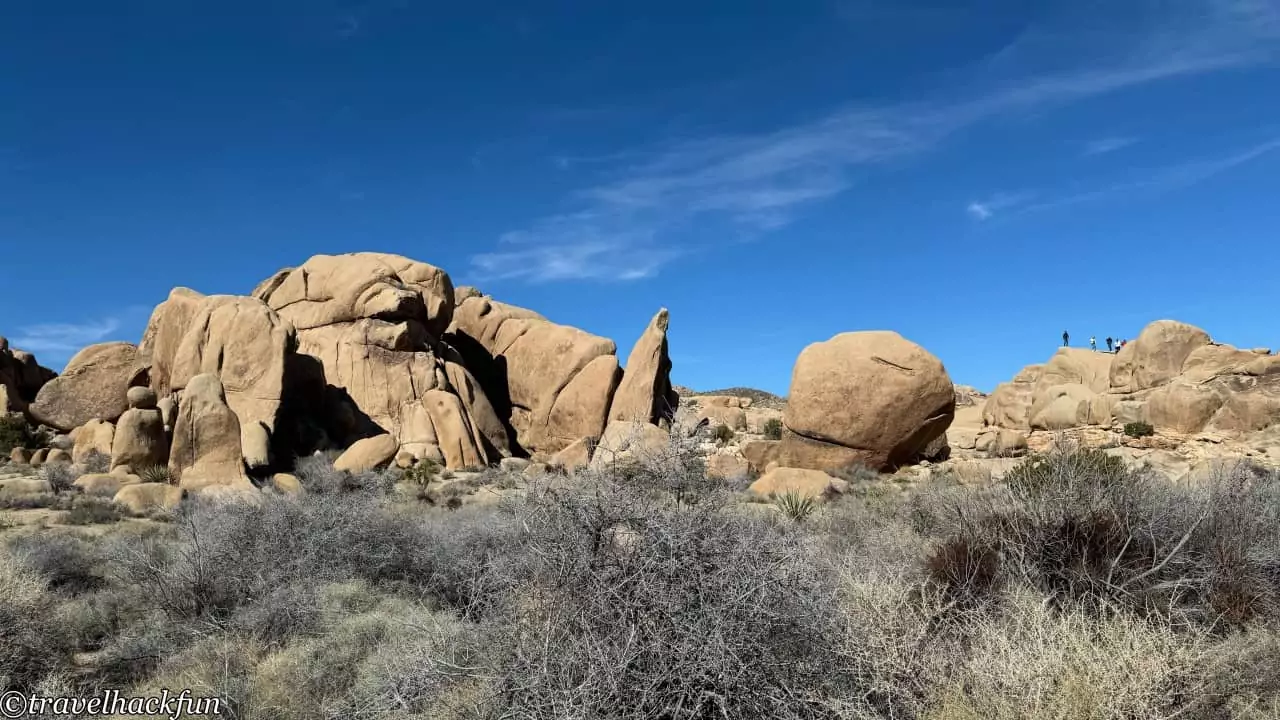
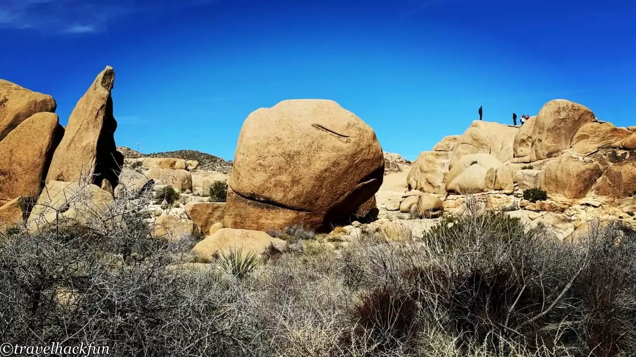
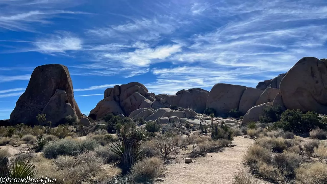
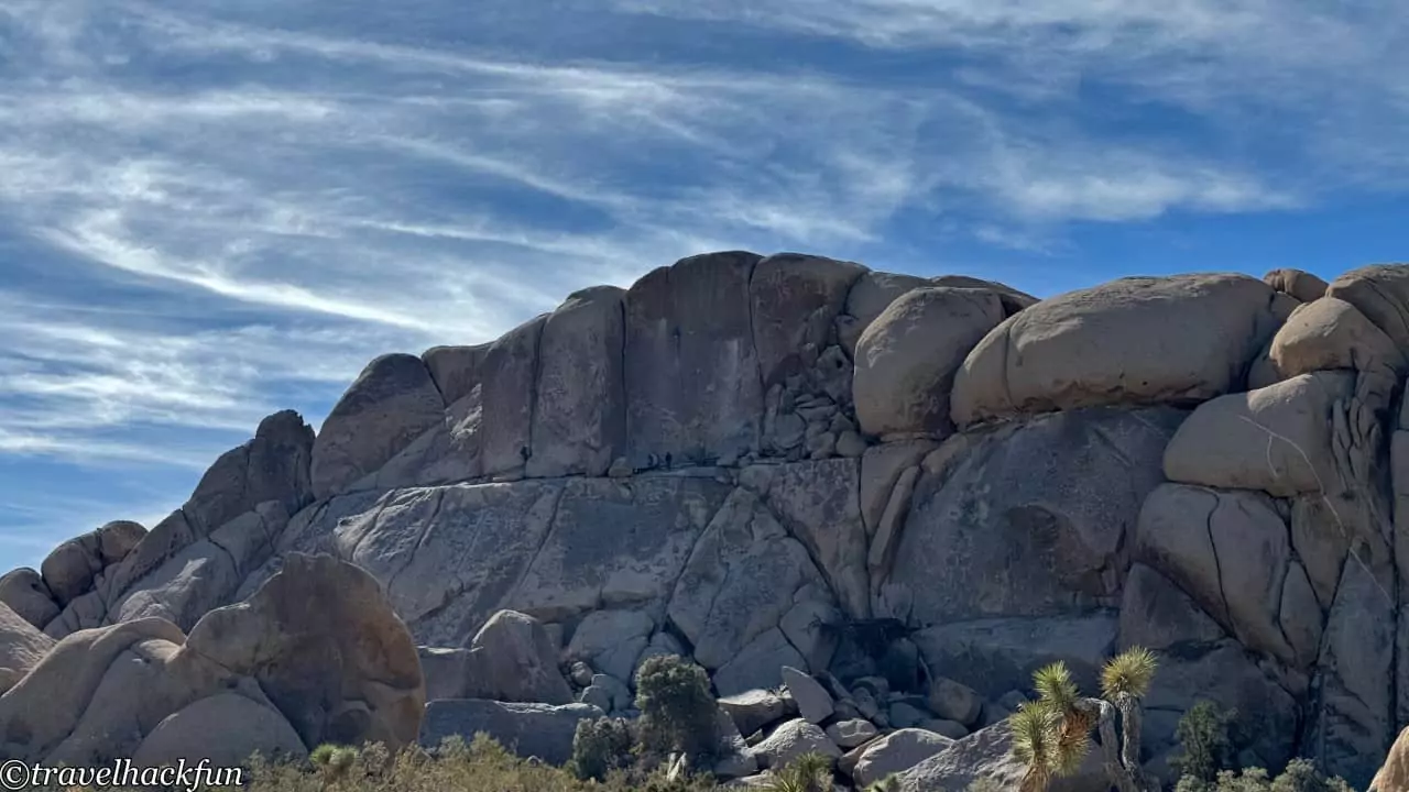
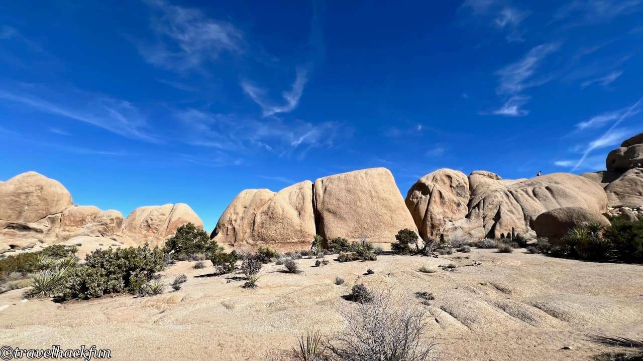
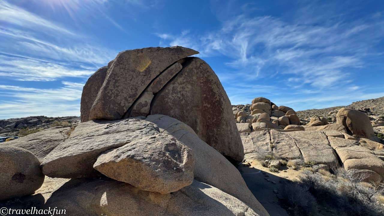
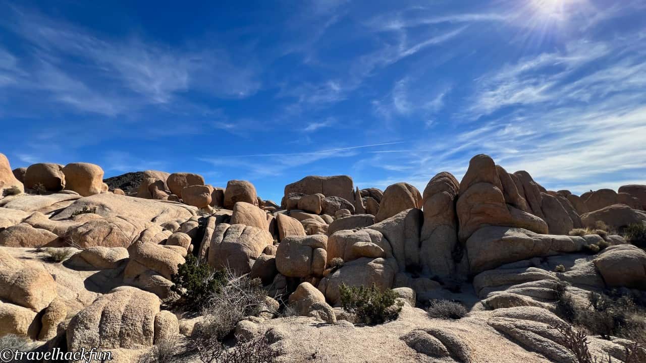
The Split Rock Trail is a slightly longer path, stretching 2 miles one-way. Along the trail, you're surrounded by a variety of oddly shaped rocks, Joshua trees, various cacti, and shrubs, making for a spectacular landscape and making it a very popular trail. There are also many spots suitable for rock climbing along the way. Even those who are not usually fans of rock climbing activities often find themselves climbing onto large boulders for fun, so it's a good idea to allocate more time for this area. The name "Split Rock" is quite straightforward, referring to a rock that is split in half, and it is one of the famous large rocks in the park.
Must Do | Arch Rock Nature Trail
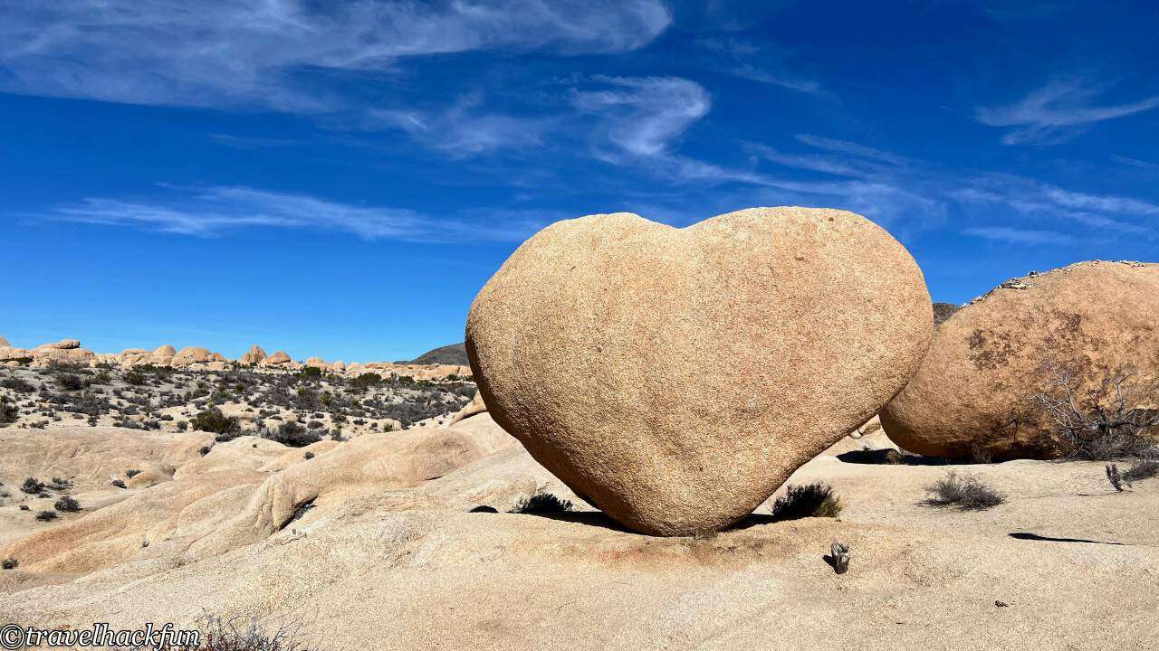
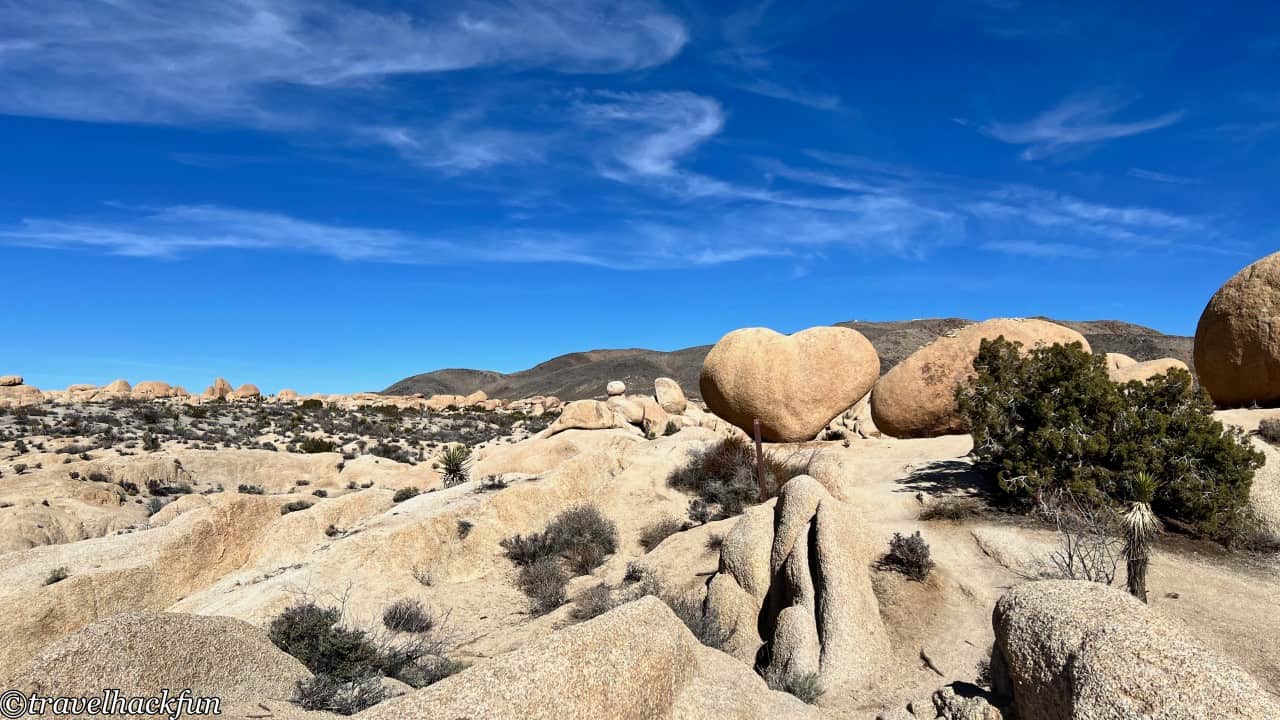
The Arch Rock Trail requires a slight detour south towards Cottonwood, where you'll see many Joshua trees along the way. The trail starts from the Twin Tanks trailhead. Key features on the trail include the arch-shaped Arch Rock and Heart Rock found on a branch of the trail.
In Joshua Tree National Park, where giant boulders are predominantly seen, Arch Rock stands out as an arch, reminiscent of Arches National Park. The trail to the arch isn't long, but the desert environment can have significant temperature variations, with potentially high temperatures during the day.
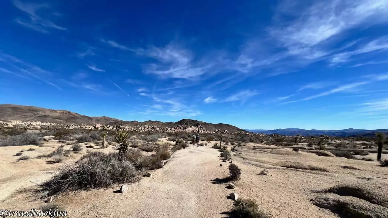
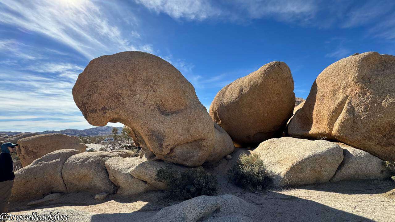
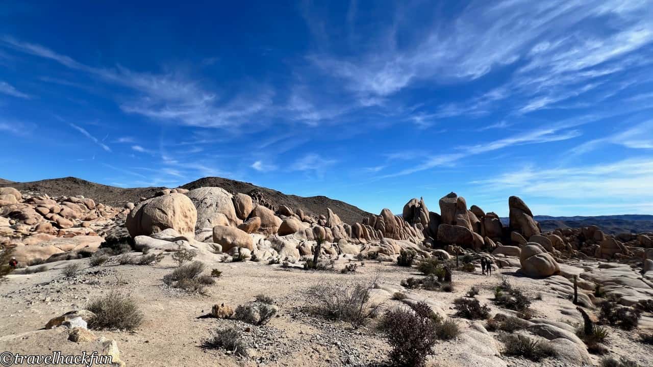
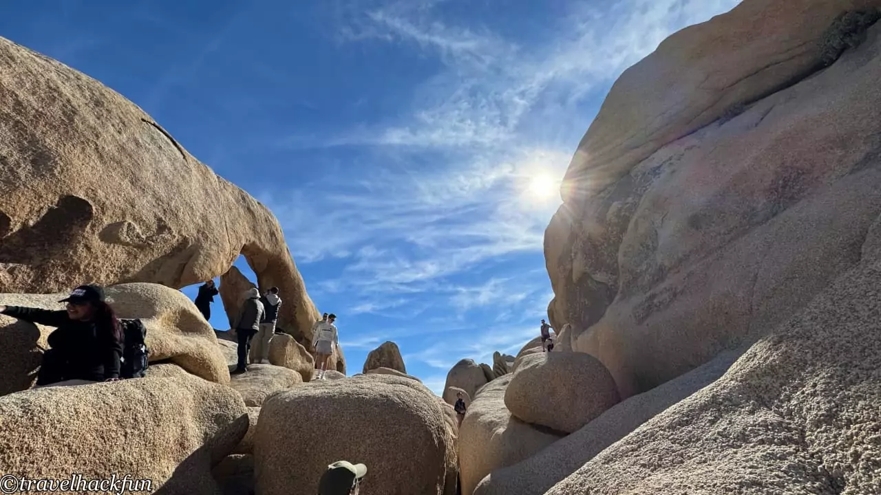
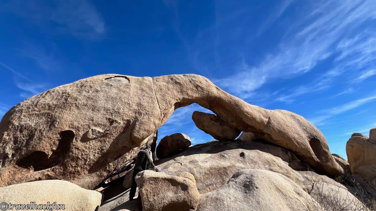
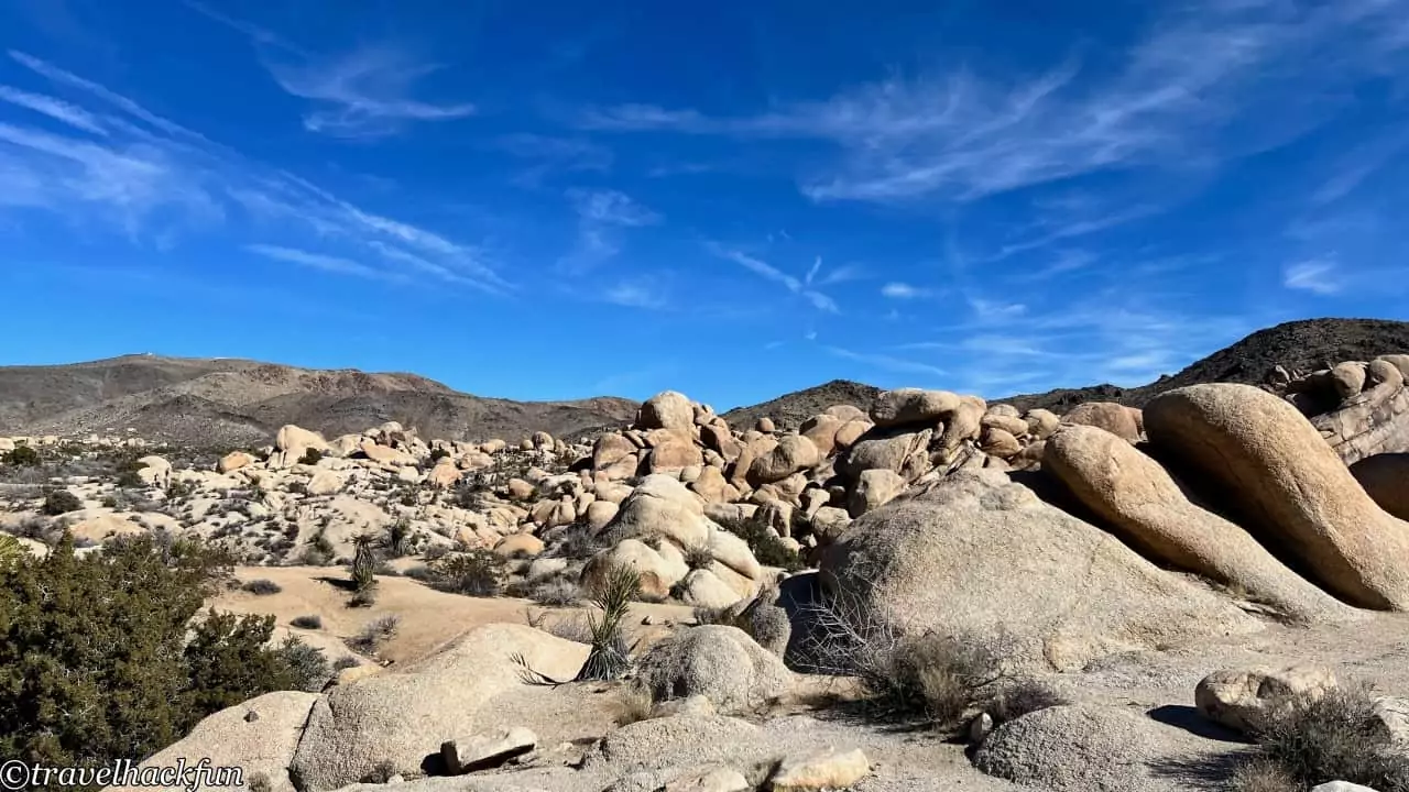
On the path, it's possible to clearly observe the traces of ancient veins of rock, which formed when magma cooled and solidified within cracks in rock layers or the Earth's crust. Here, you can see how the original rock veins were pushed above sea level due to tectonic movements and then eroded away, leaving behind large fissures in the current rock formations.
A side trail leads to the heart rock, which is also quite special and is in the shape of a full-blown love heart.
Keys View Road
Cap Rock
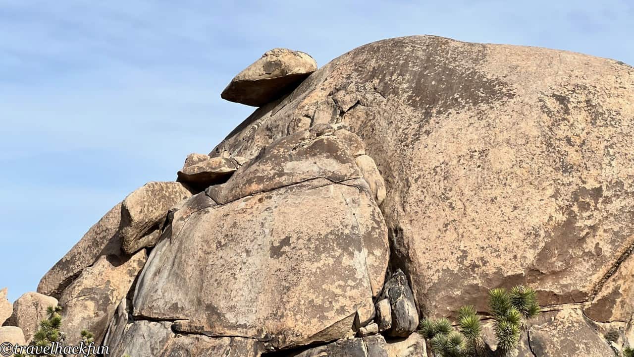
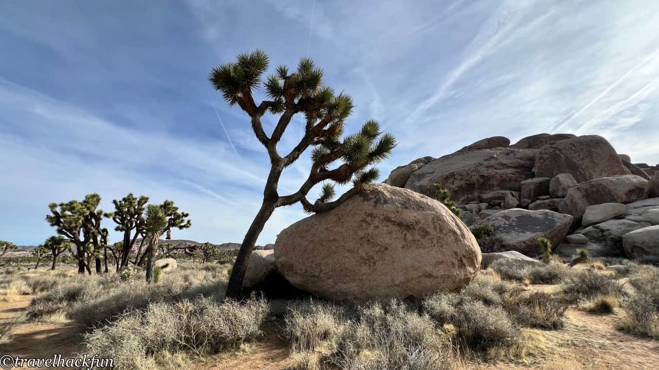
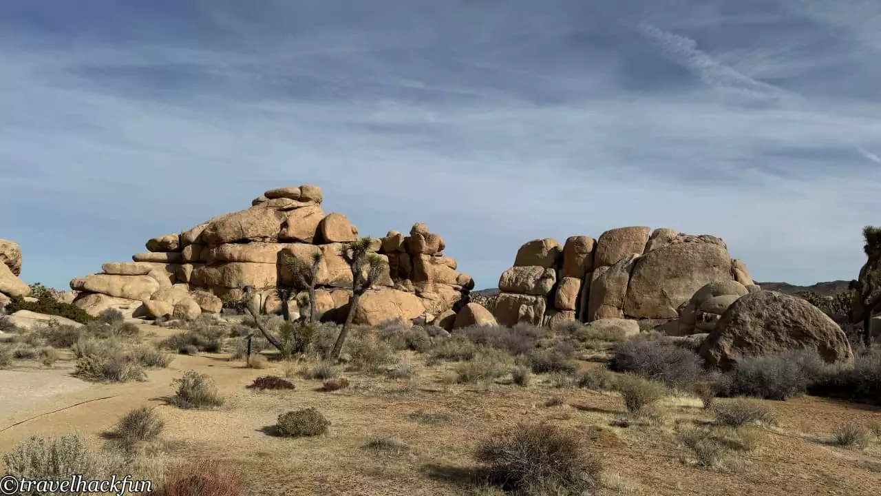
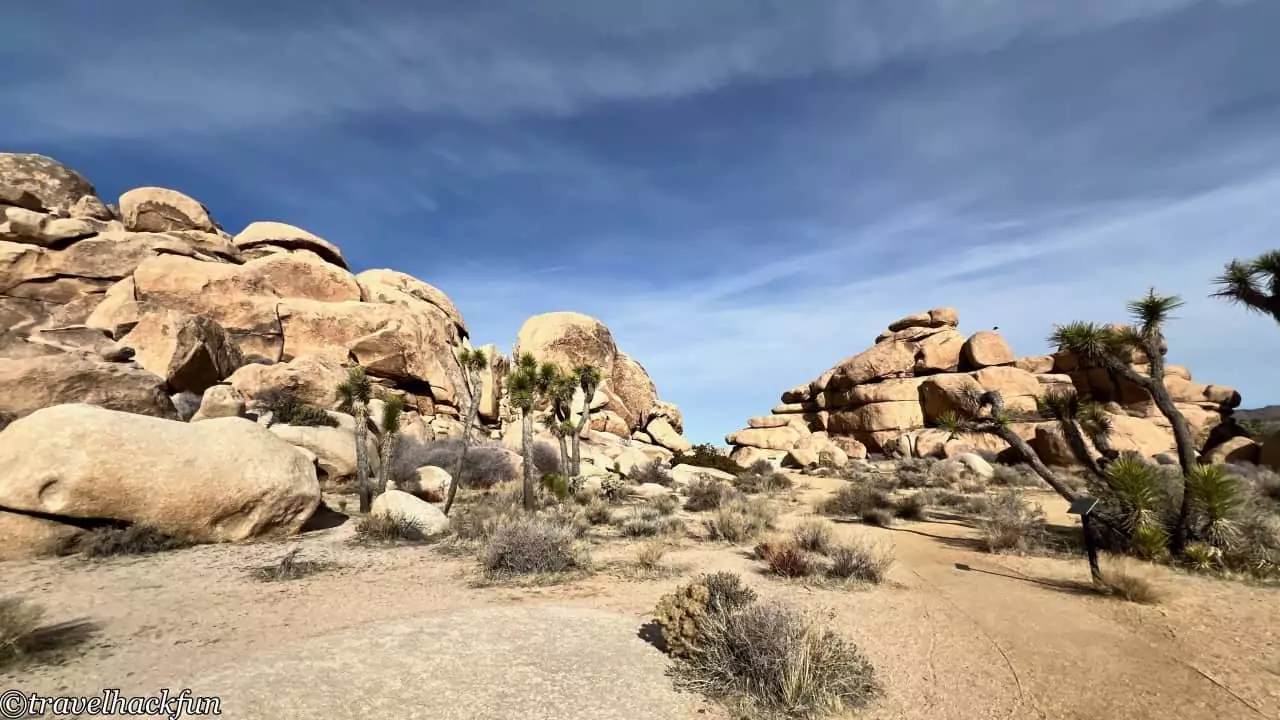
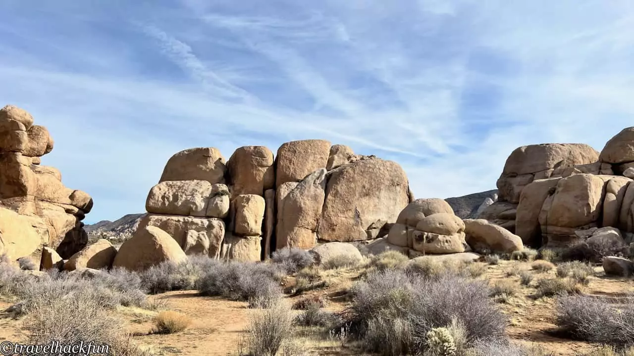
Cap Rock is a picnic area, and the giant rock itself looks like it's wearing a little hat, making its appearance quite interesting.
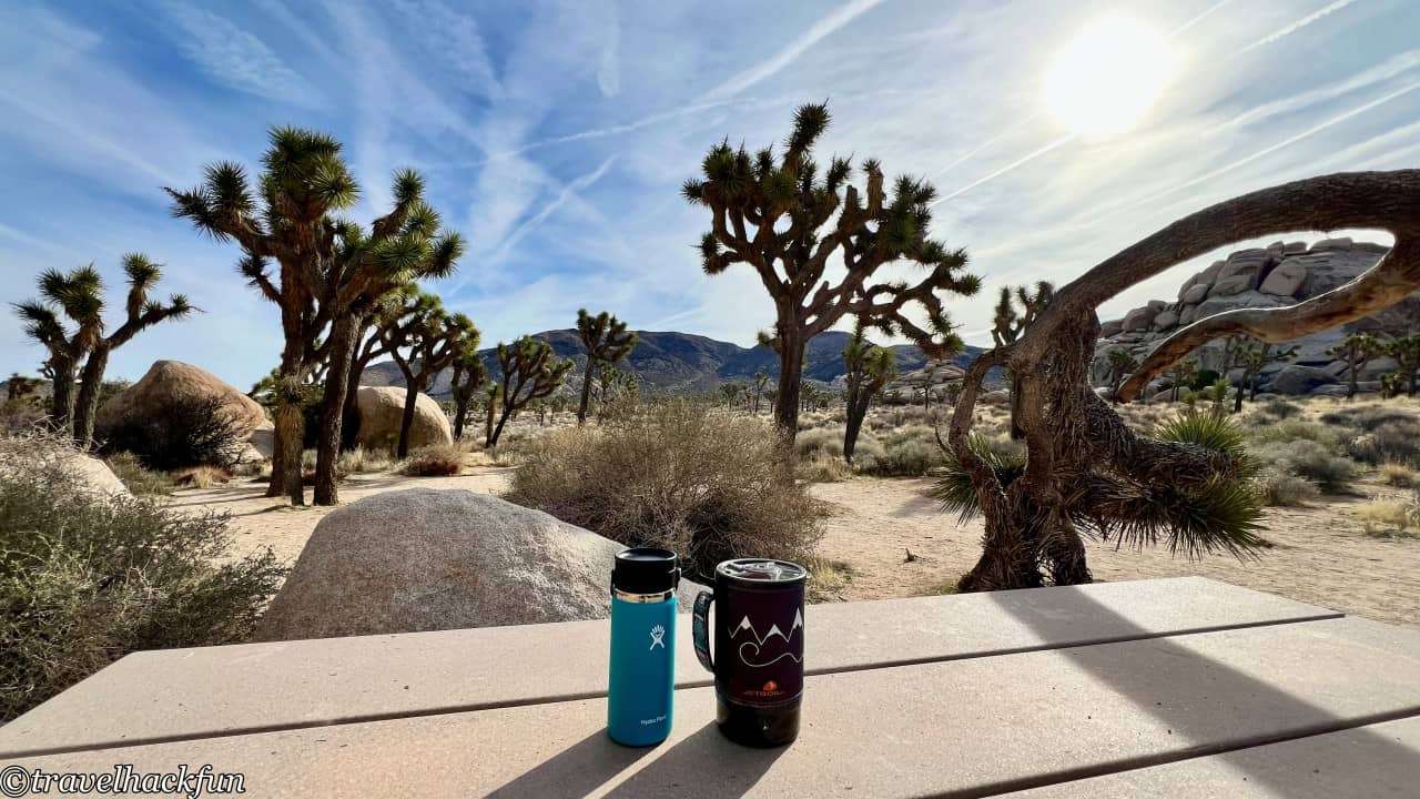
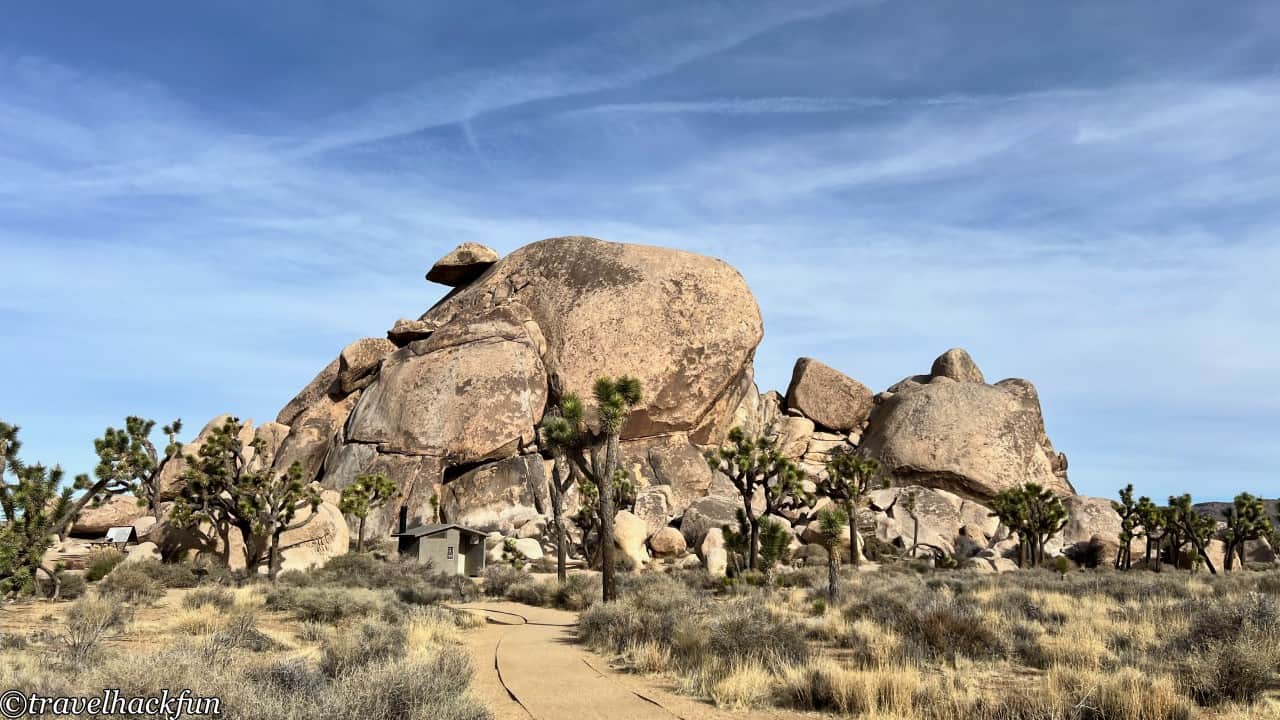
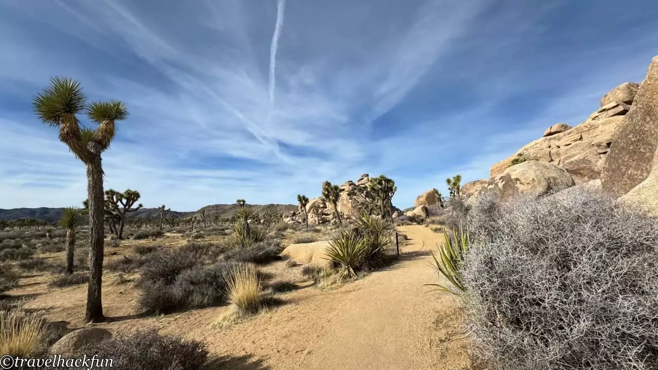
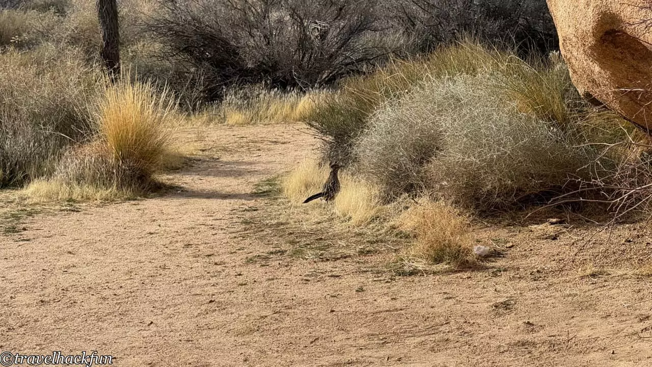
There is my favorite small trail right next to it, Cap Rock nature trail, which is only 0.3 mile long, with a lot of Joshua trees.
![Joshua Tree National Park] Attractions and Travel Tips 95 Joshua Tree National Park, Joshua Tree National Park 94](https://blog.travelhackfun.com/wp-content/uploads/2024/04/Joshua-Tree-264.jpeg)
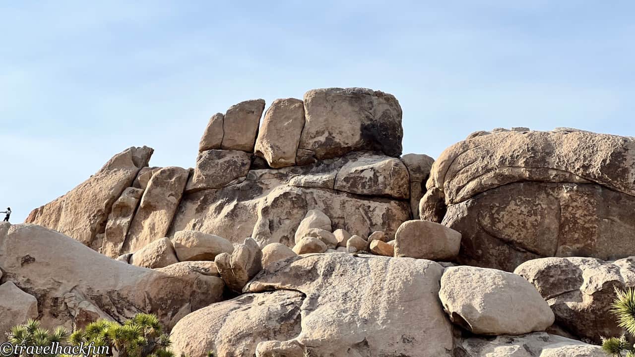
Must Do | Hall of Horrors
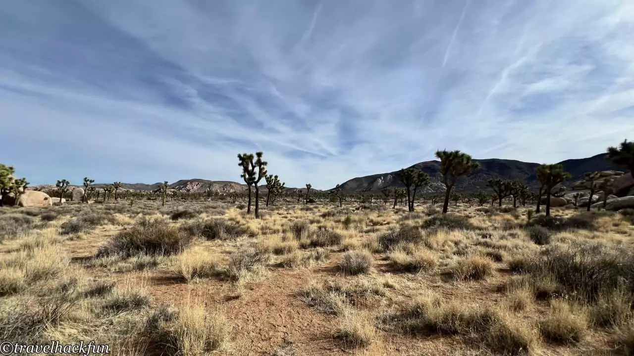
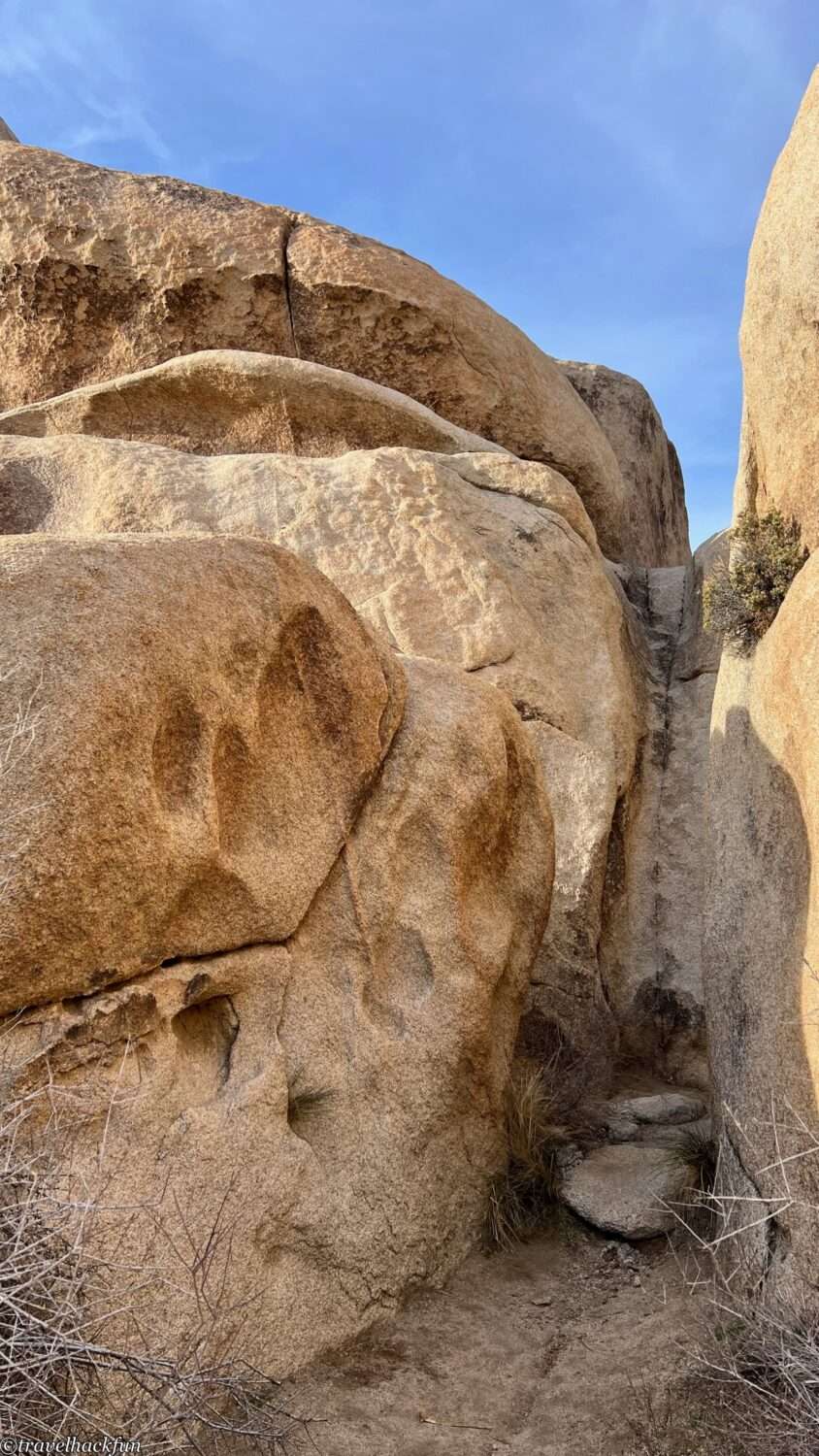
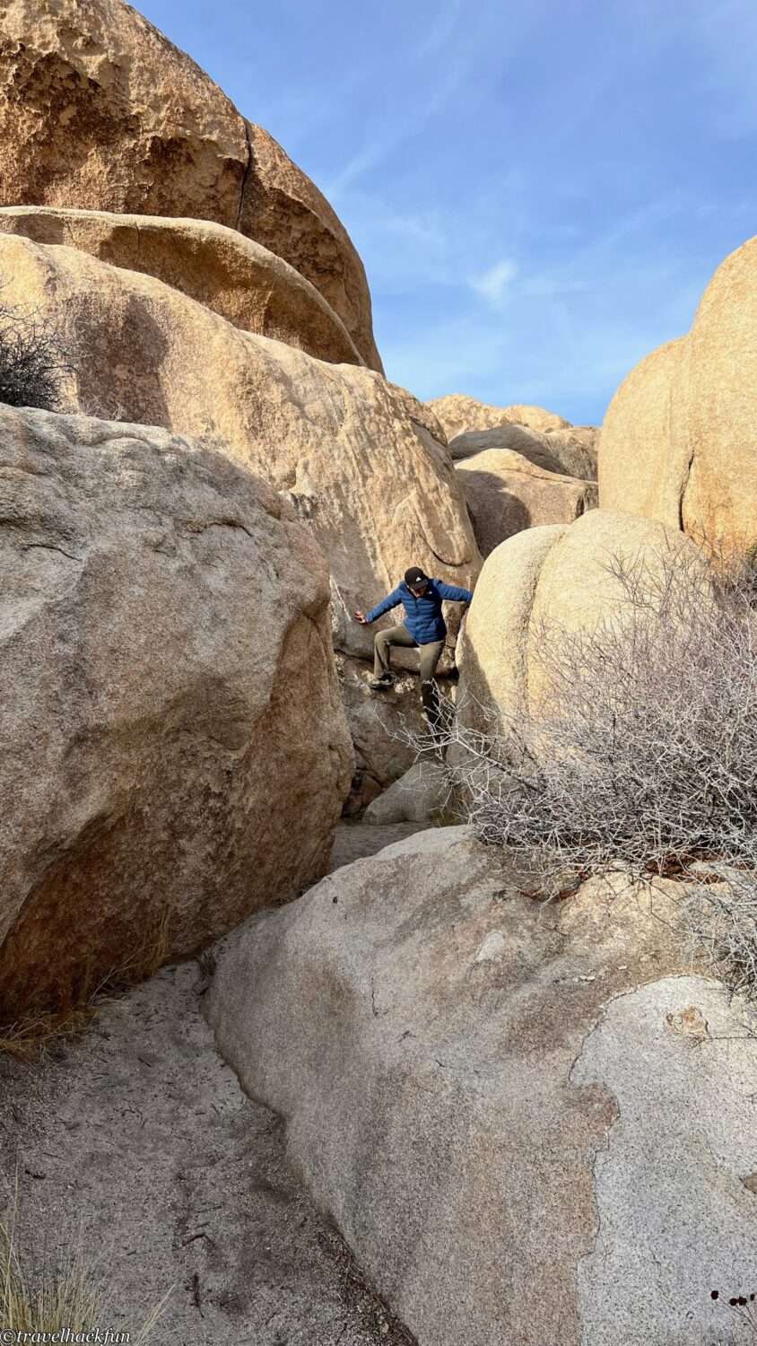
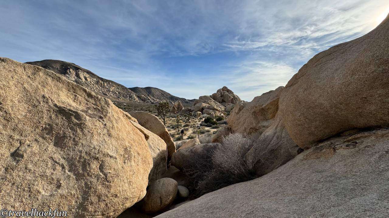
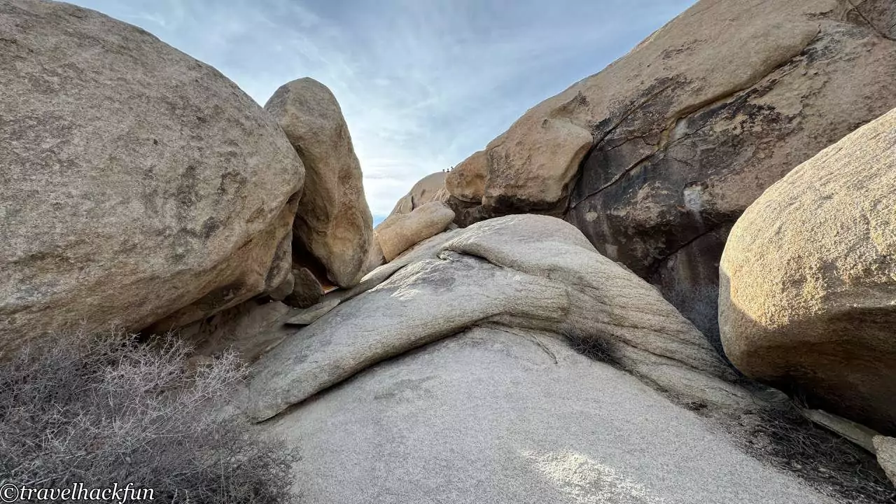
Despite its frightening name, the Hall of Horrors is essentially a vast expanse of giant rocks that beckons visitors to climb them. If you've never rock climbed before, you must try it at the Hall of Horrors for an exhilarating experience. The reason for its daunting name might be because many who climb up then find themselves too intimidated by the height to easily come back down...
Must-see | Keys view
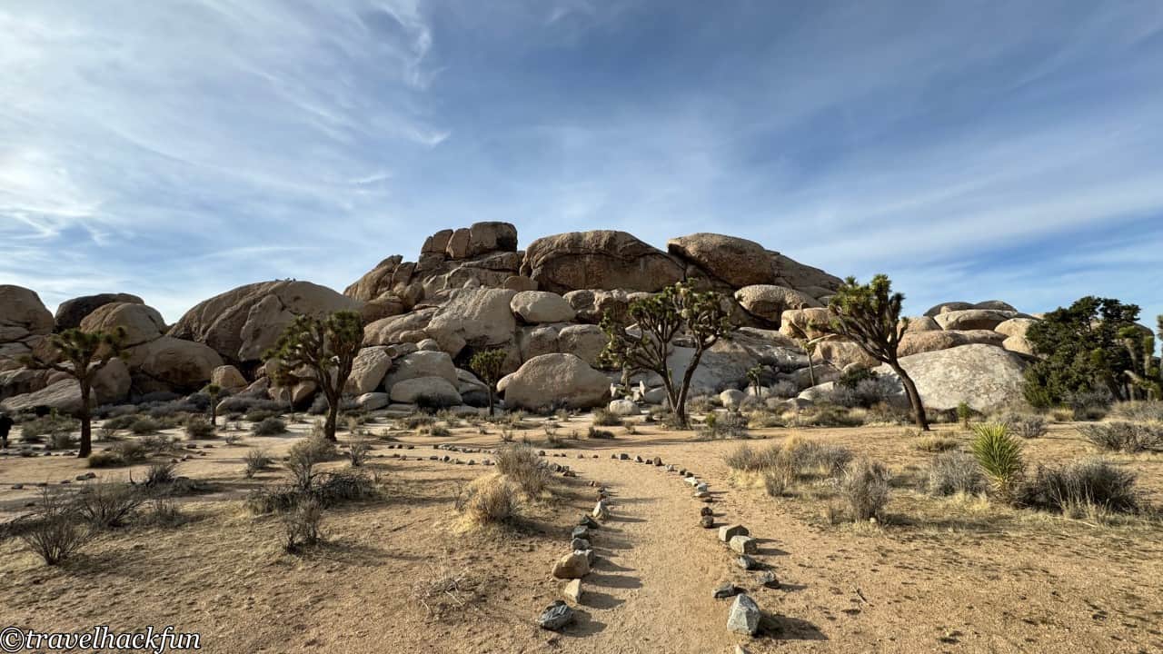
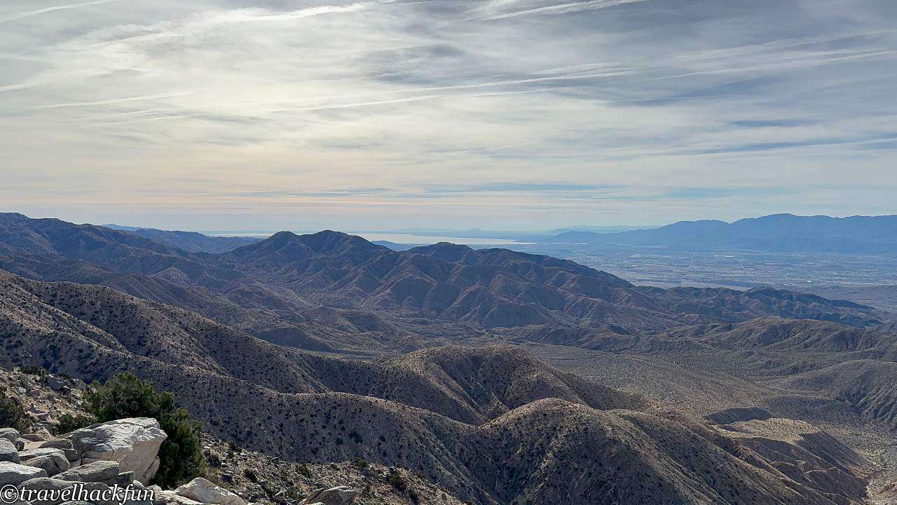
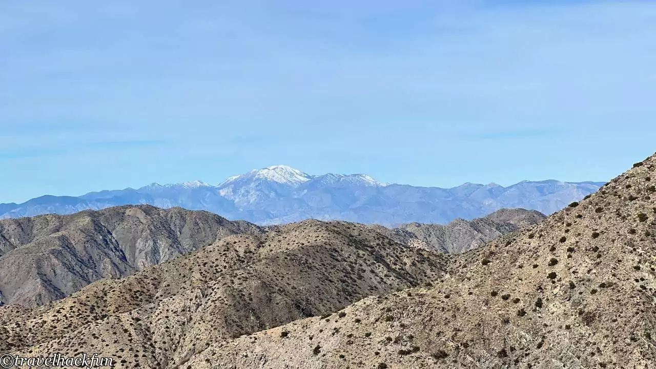
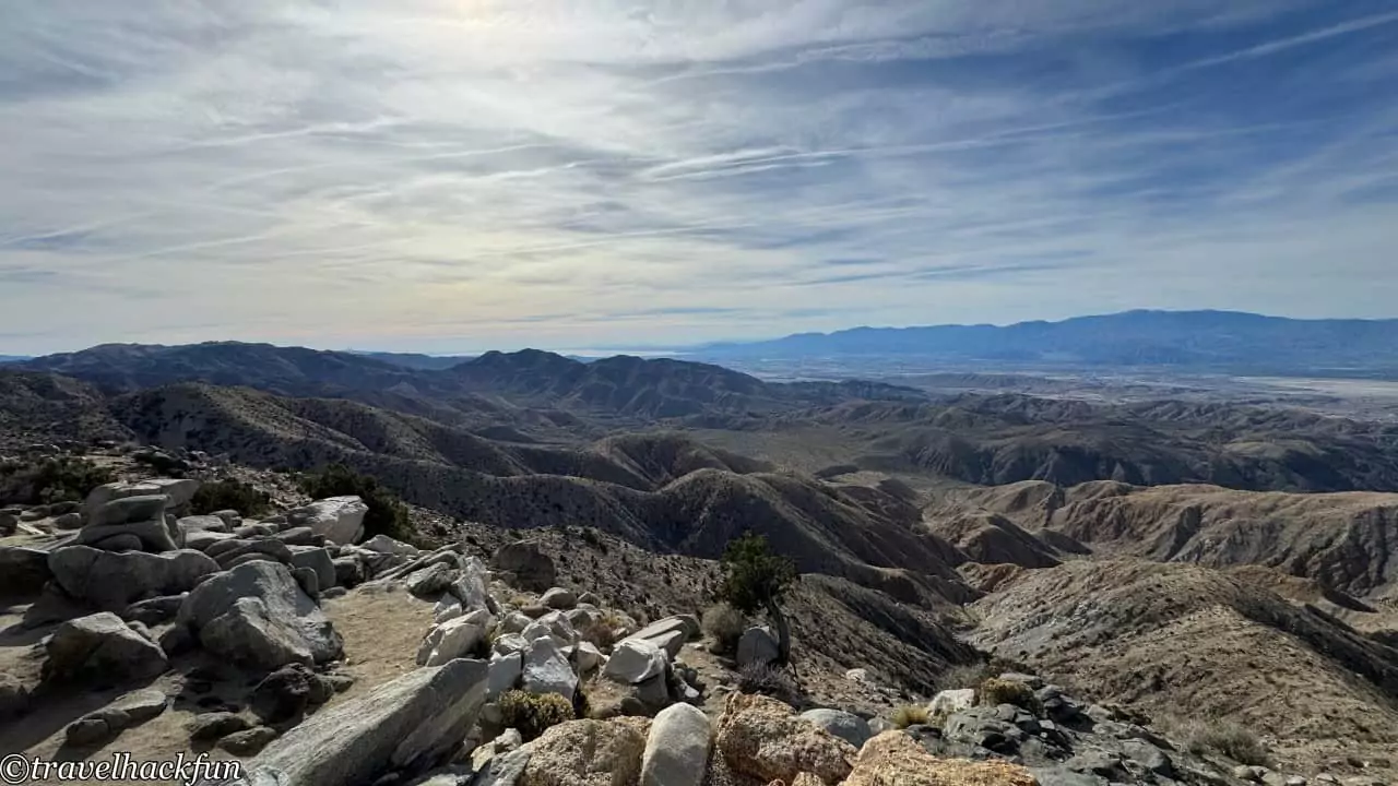
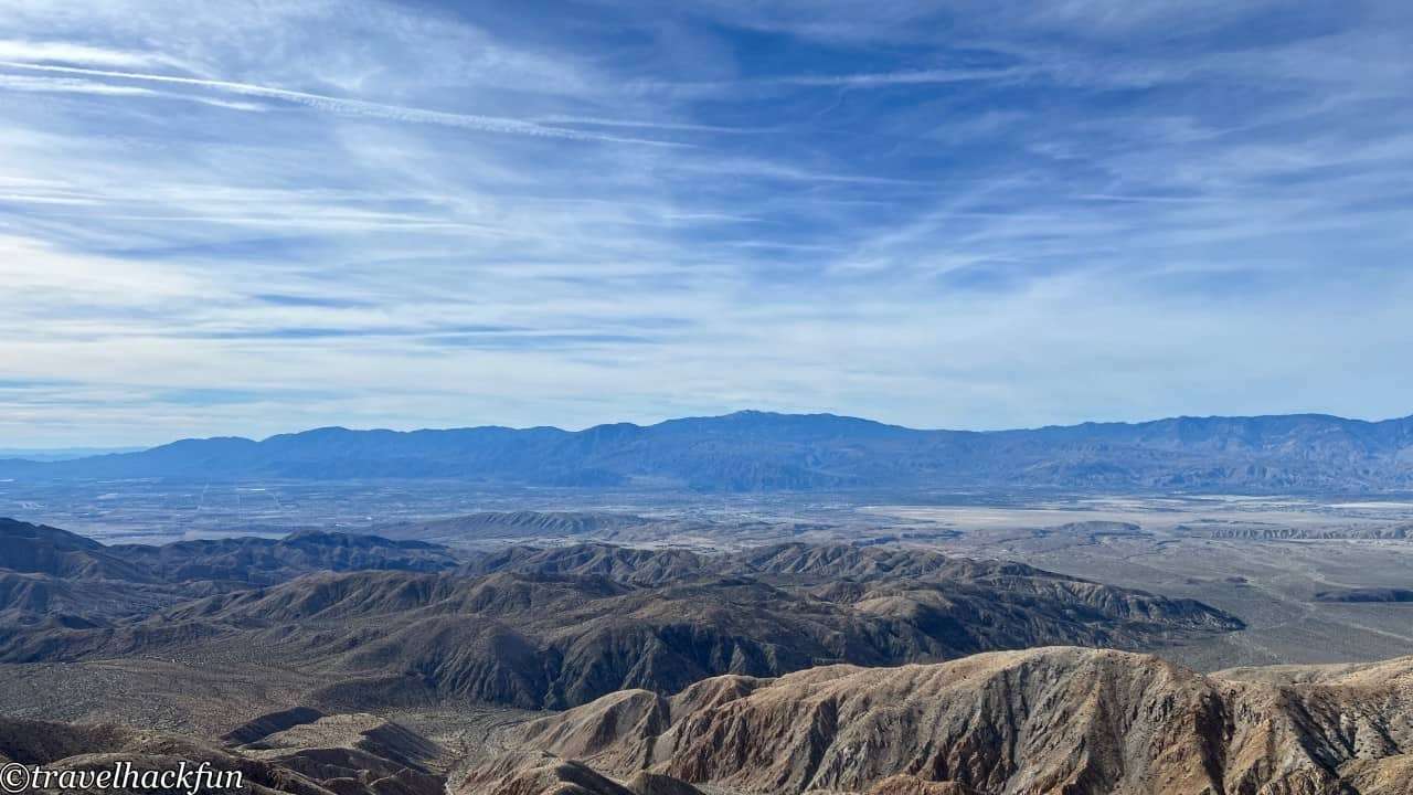
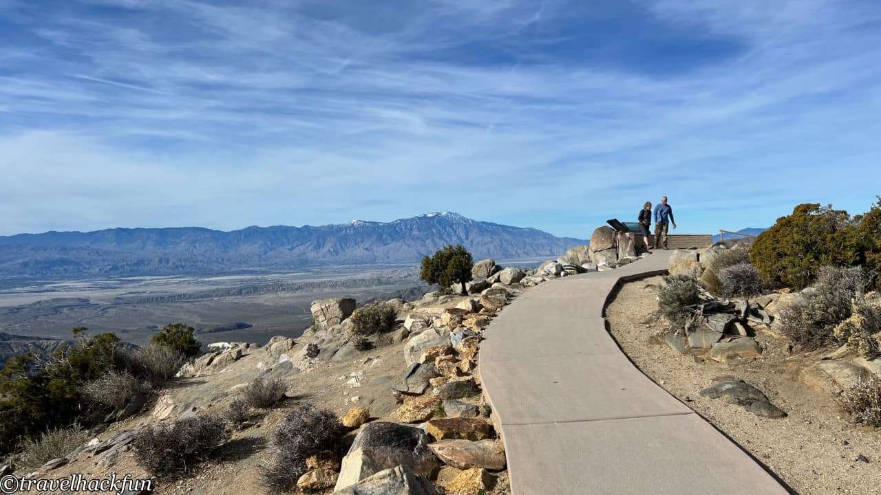
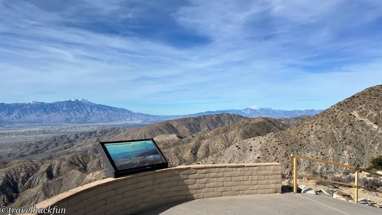
Driving to the end of Keys View Road leads to Keys View, where next to the parking lot, there's a trail that takes you up to a viewpoint offering a 360-degree panoramic view. From here, you can capture the vast desert landscape and the spectacular views of distant mountains, as well as see Palm Springs and the Salton Sea.
Lost horse mine trail
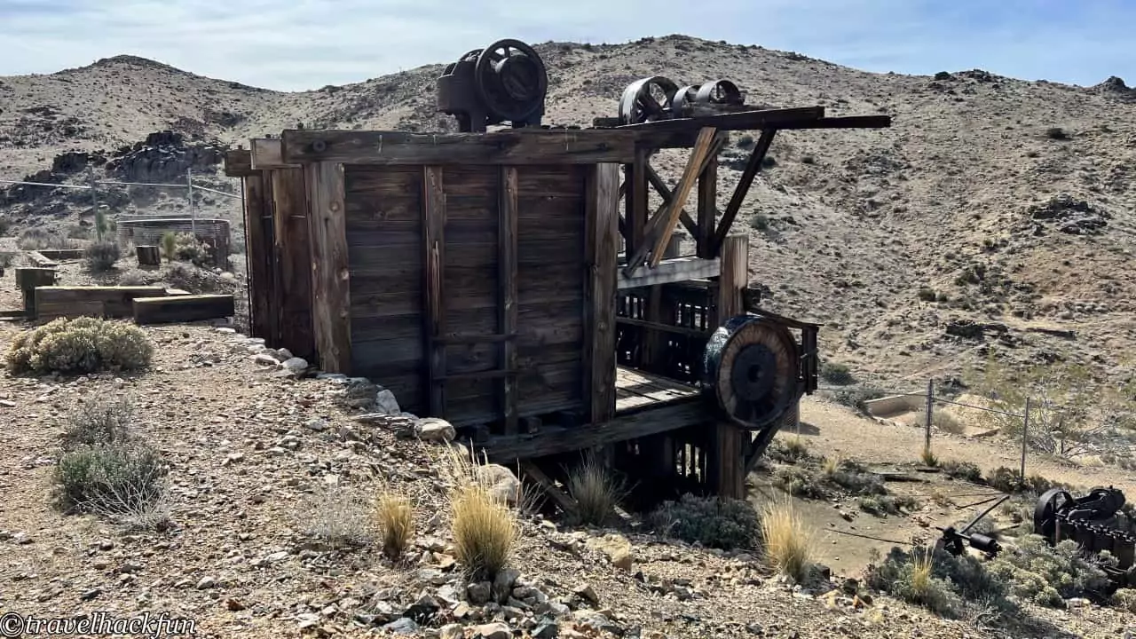
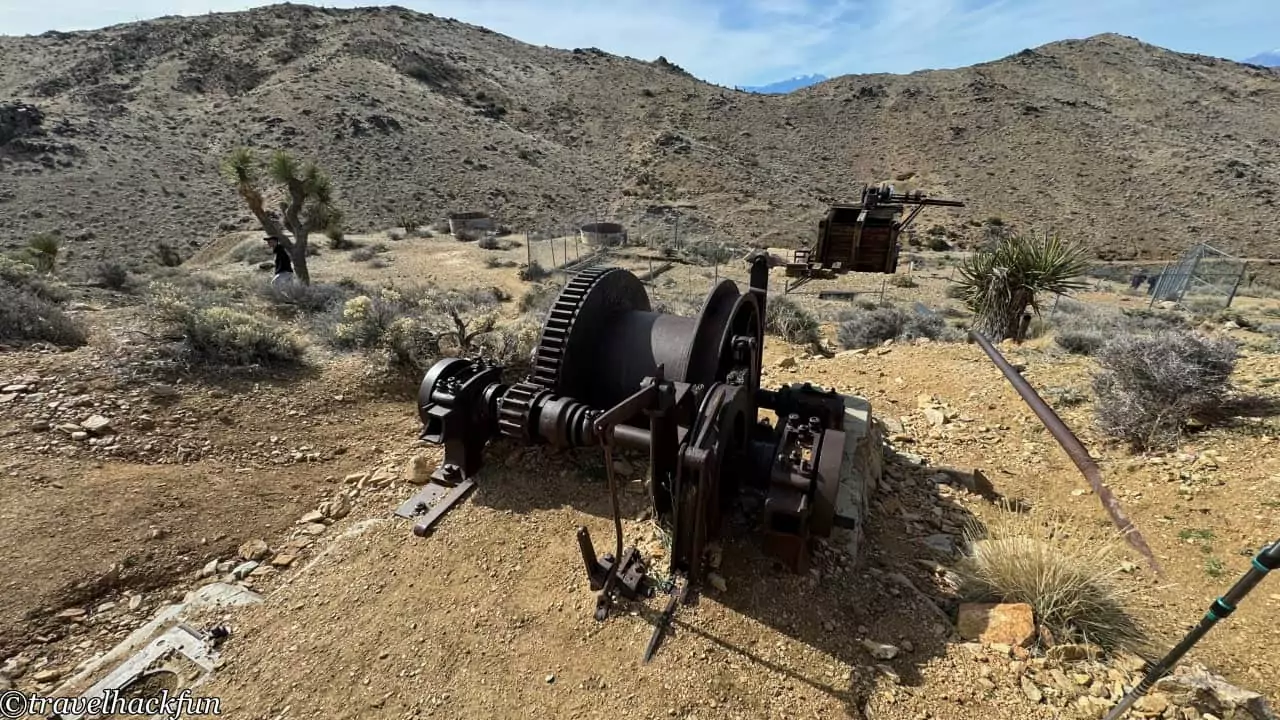
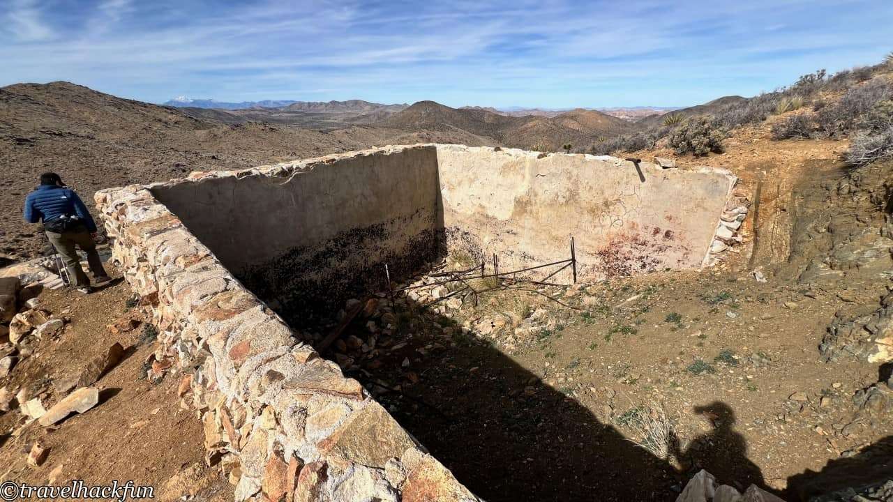
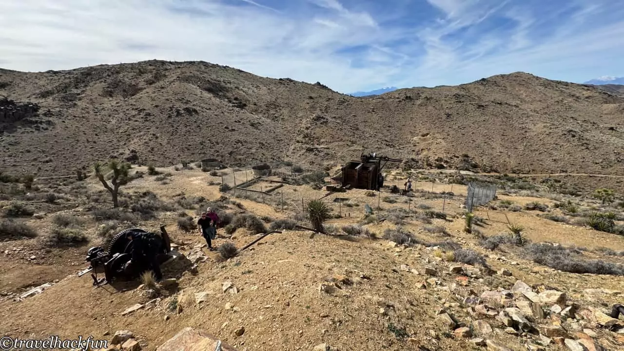
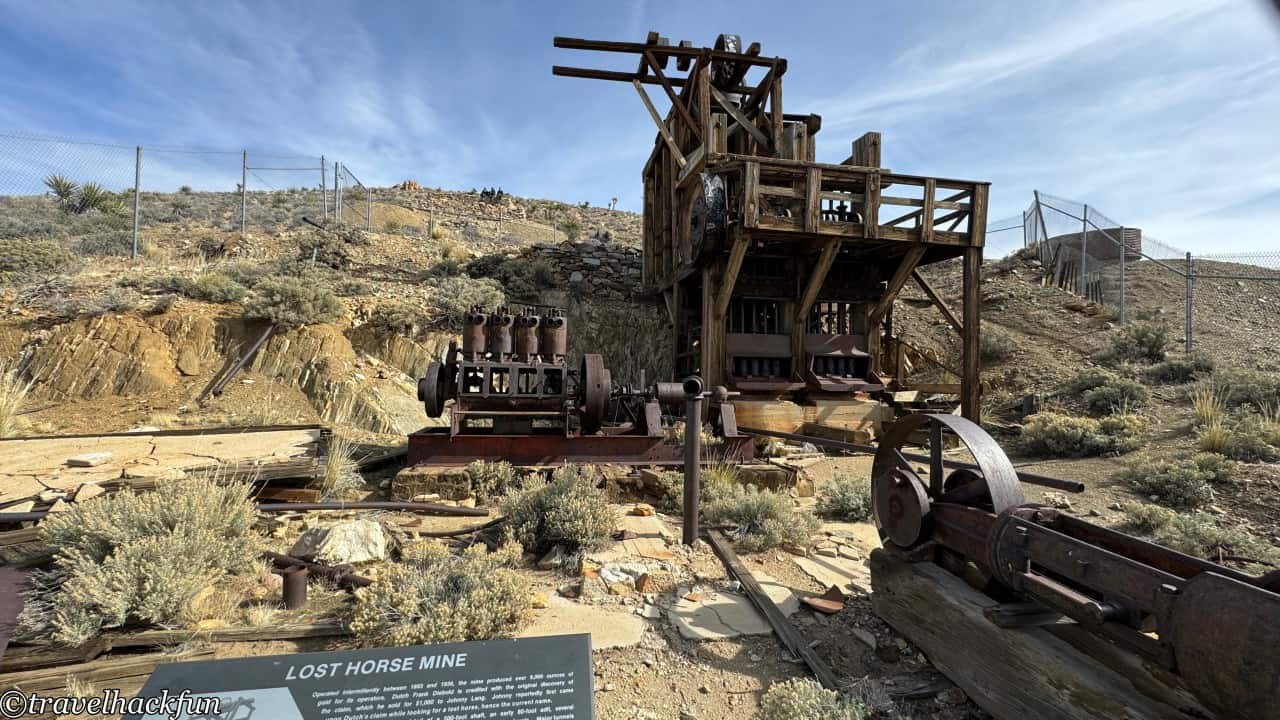
The Lost Horse Mine trail is a more challenging path, requiring a drive over 1 mile of dirt road to reach the trailhead. Lost Horse Mine is a historical site, and the round trip to the mine via the trail is 4 miles. However, this mine from the 1890s did produce a significant amount of gold and silver during the gold rush period at the end of the 19th and beginning of the 20th centuries, making it one of the most successful gold mines in the park and an important testament to the Western expansion era. It's said that the mine was originally discovered by a rancher who was looking for his lost horses and stumbled upon the vein, hence the mine was named Lost Horse.
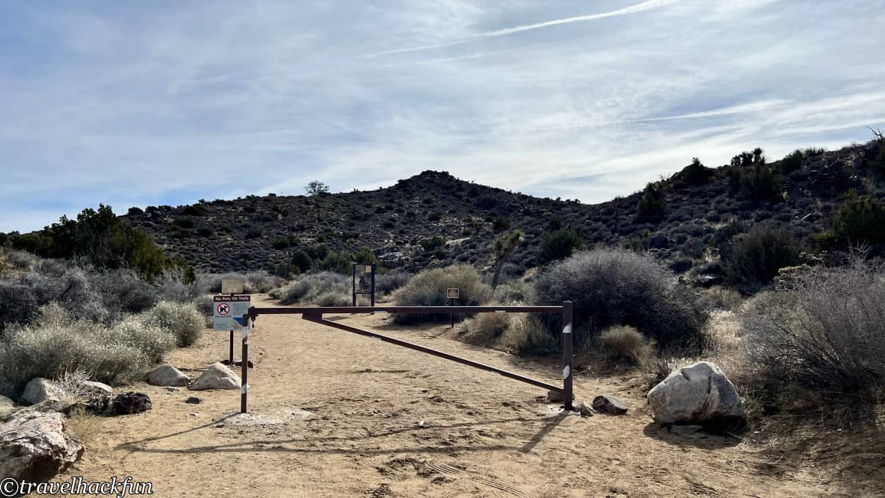
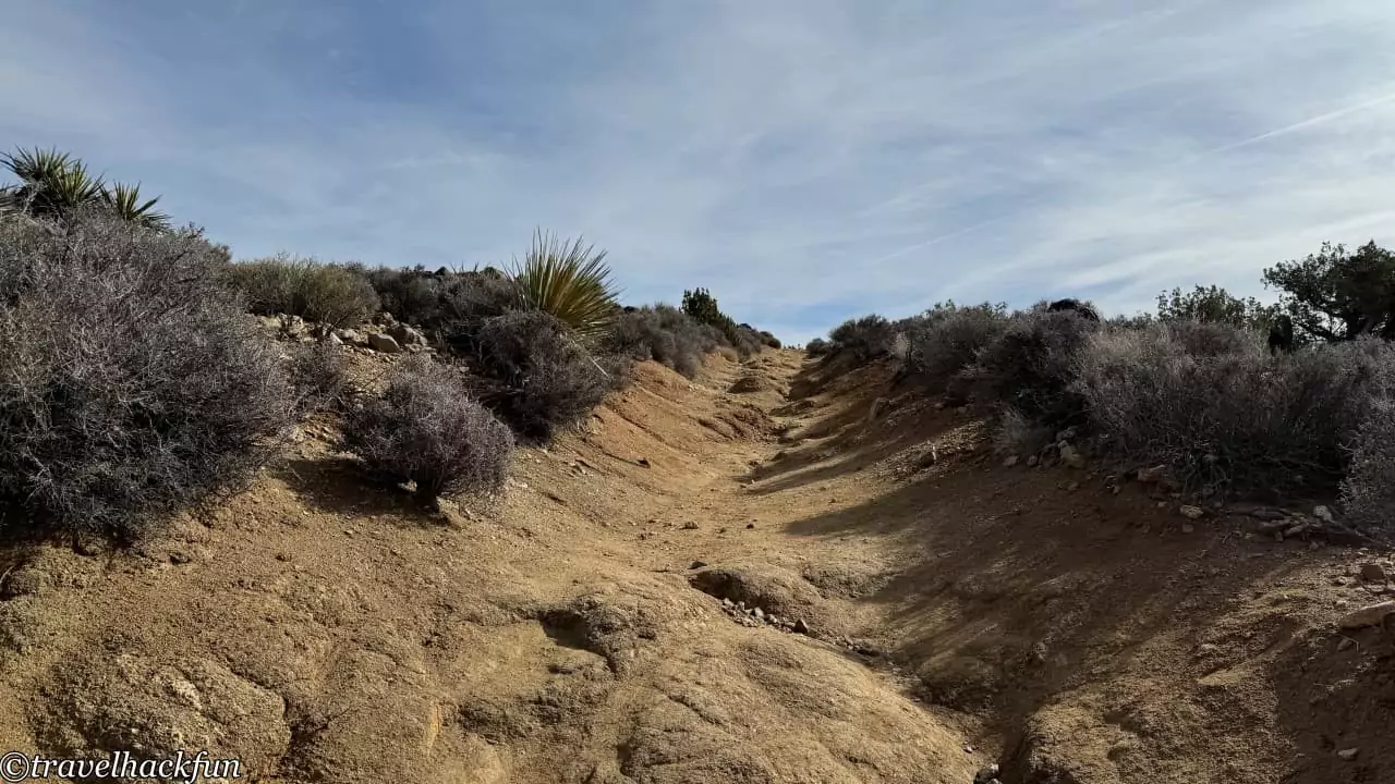
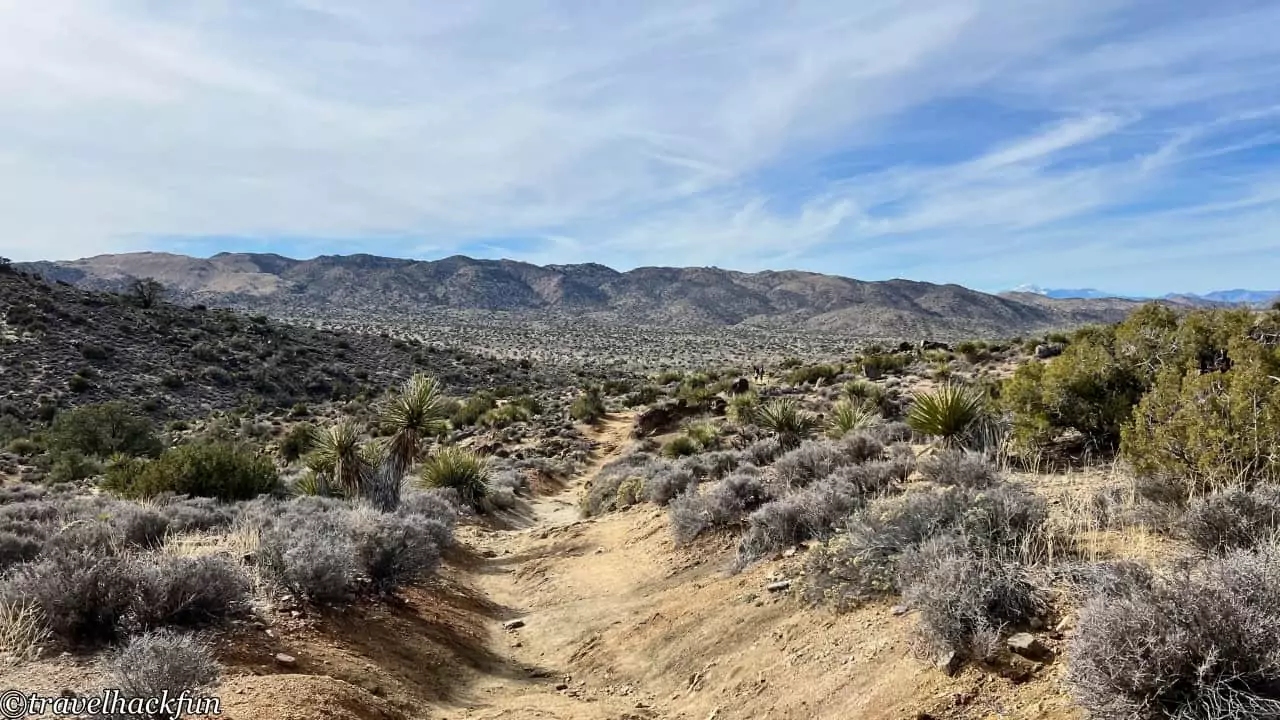
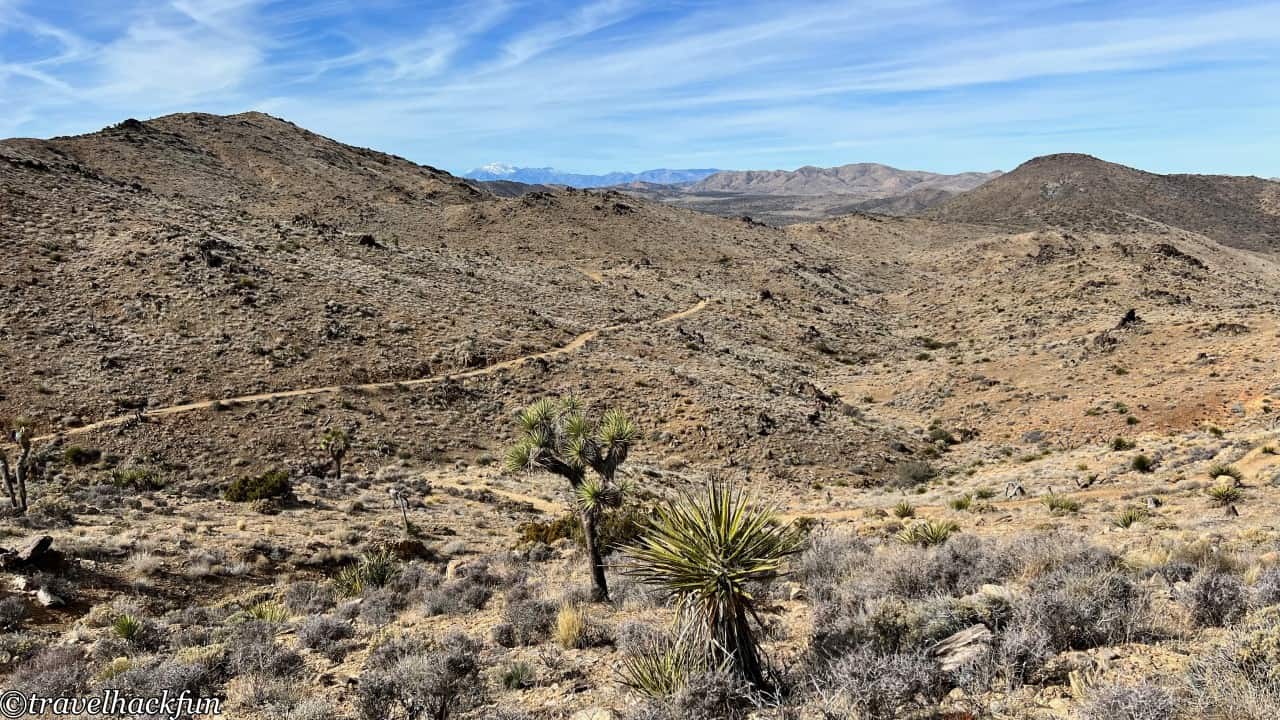
The hike is not as easy as other trails, so it's best to bring hiking poles. However, upon entering the trailhead, the sand on the ground sparkles, truly resembling a field of gold. When you reach the destination, you can see the machinery used for mining back in the day.
Ryan Ranch
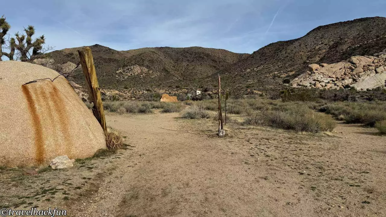
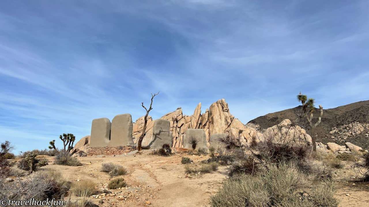
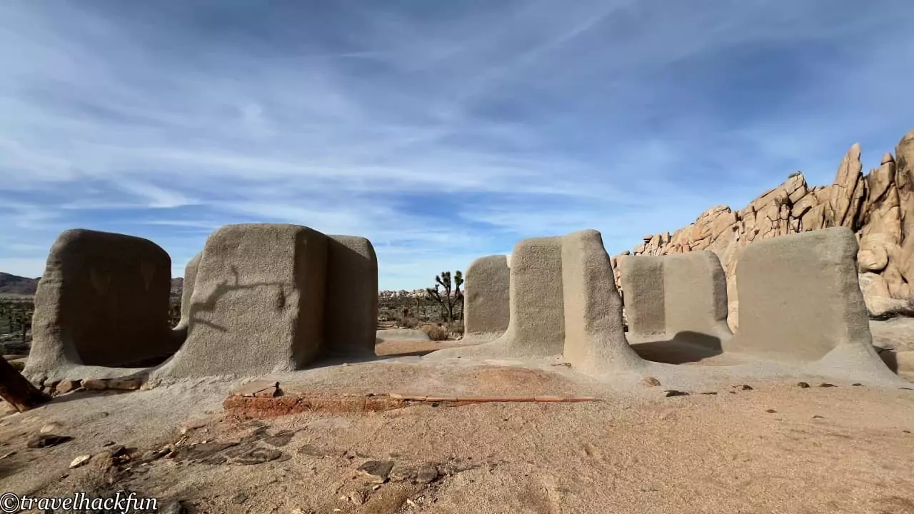
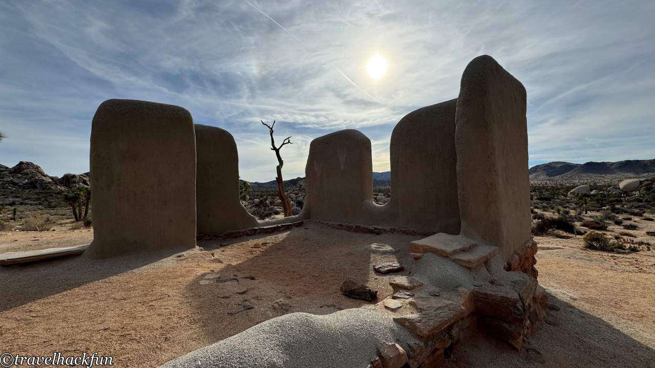
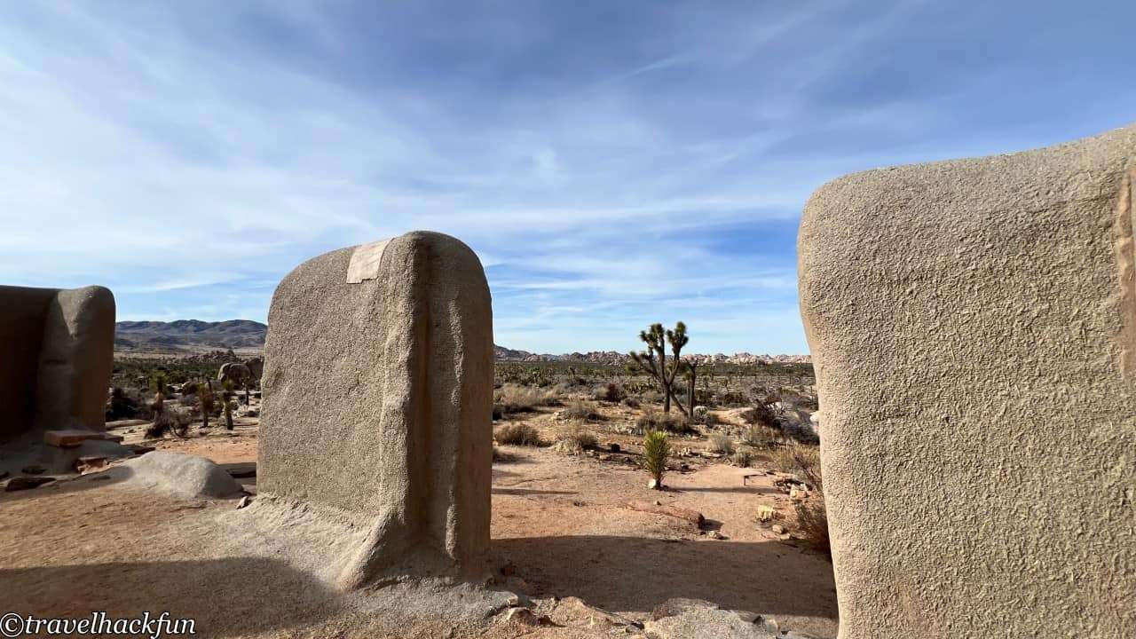
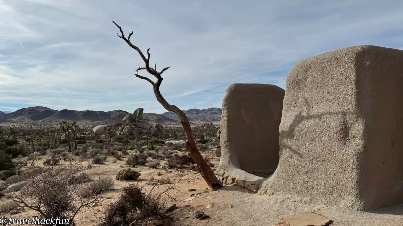
Ryan Ranch was established in the 1890s to support the operations of the Lost Horse Mine. The ranch owner, Ryan, built this ranch near the mine. The high output of gold from the Lost Horse Mine was due, in part, to the water pipeline he established nearby and the introduction of new refining technologies. The round trip from the trailhead to the ranch ruins is 1 mile.
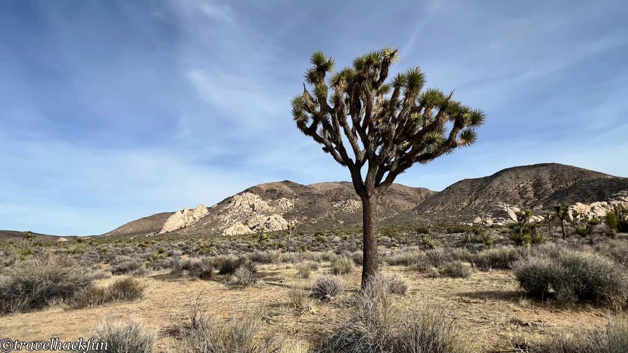
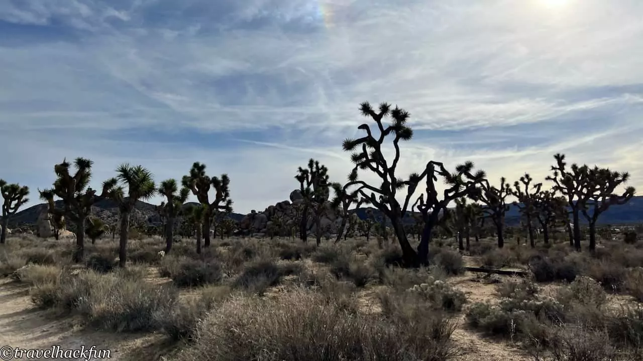
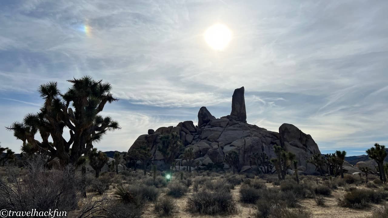
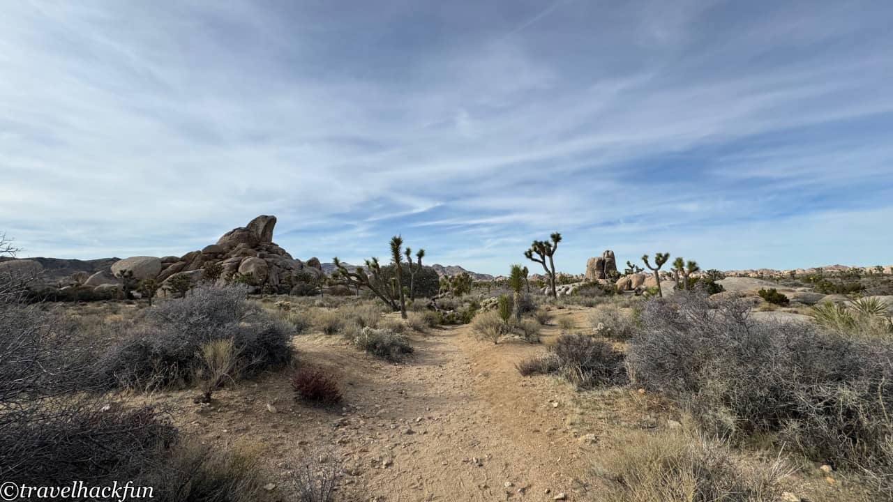
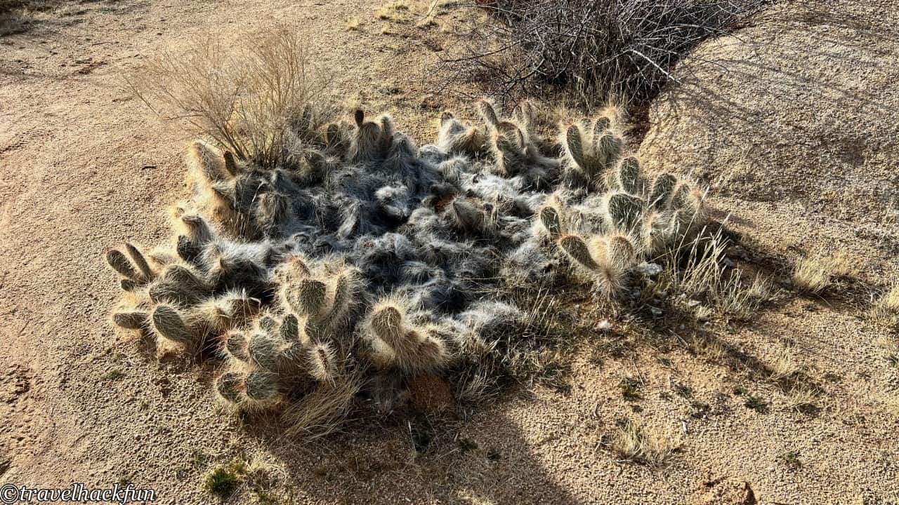
The ranch site is at the base of Ryan mountain, and in addition to the remains of the building foundations and walls, a portion of the water system from that time remains.
Pinto Basin Road
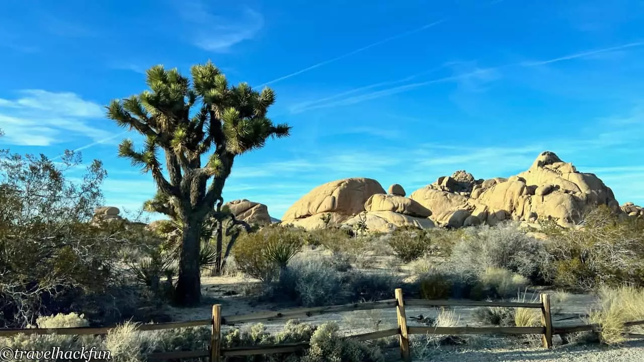
Driving up Pinto Basin Road, the landscape gradually changed from rocky to mountainous, and what used to be a huge boulder desert became a world of cacti and Joshua trees. Joshua trees look quite tall, the largest one in the park is 42 feet tall, and usually have a life span of several hundred years, but it is not a tree, but a Yucca species.

Must-see | Cholla Cactus Garden
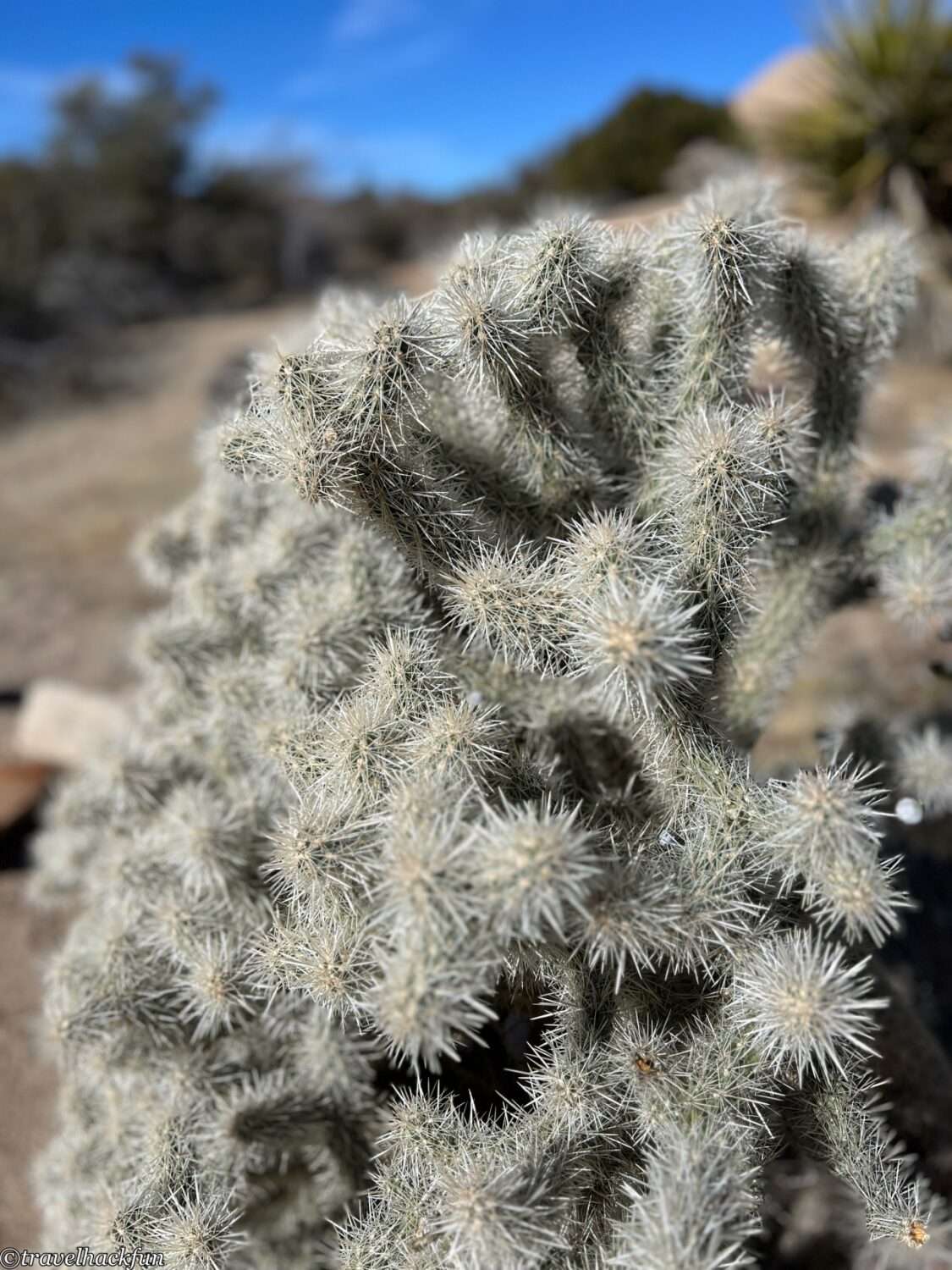
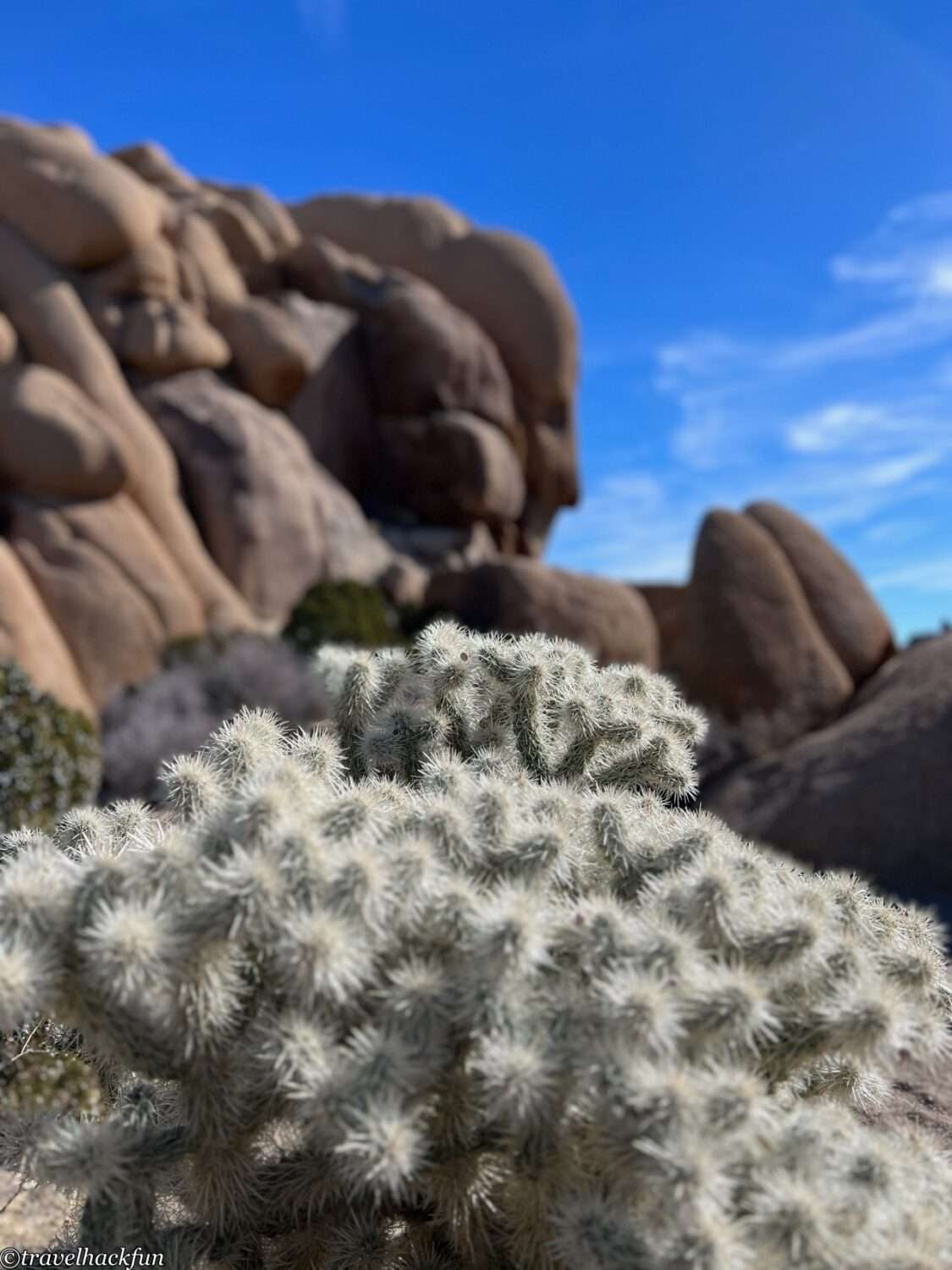
Visiting Joshua Tree National Park, the Cholla Cactus Garden is a must-see among must-see attractions. This cactus garden trail is only a short 0.25 mile, but the vast expanses of cacti are incredibly memorable. When we visited, the cacti were just starting to bloom.
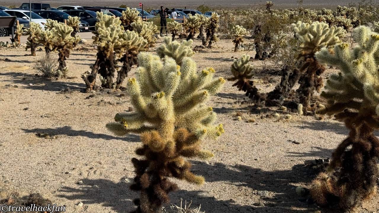
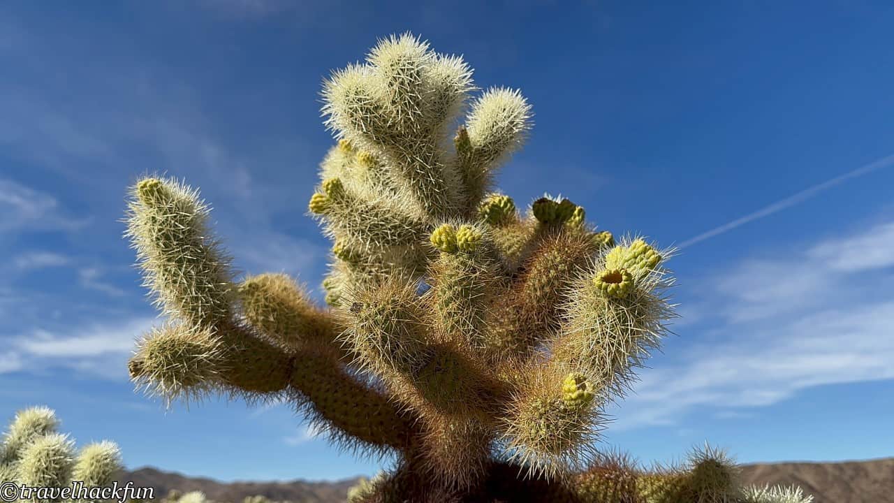
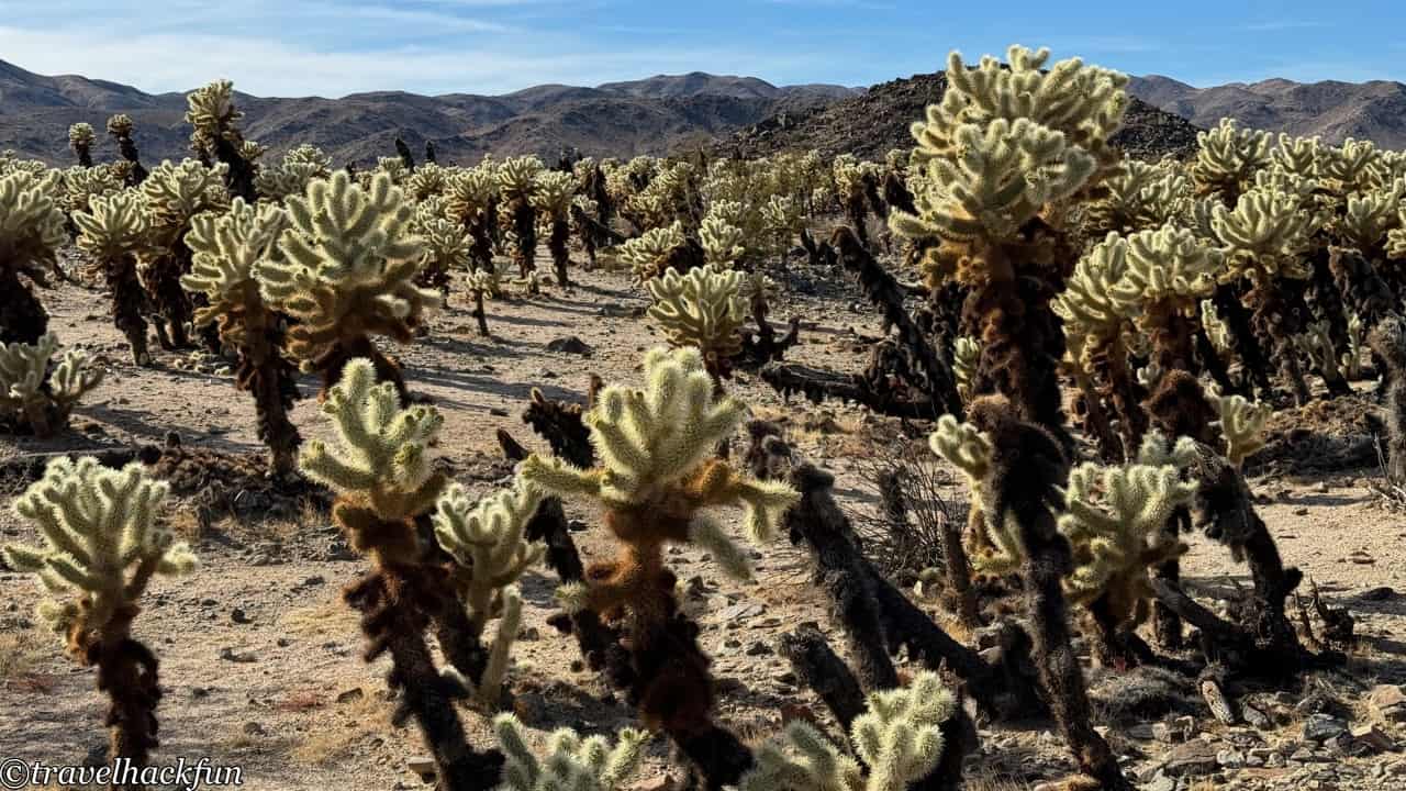
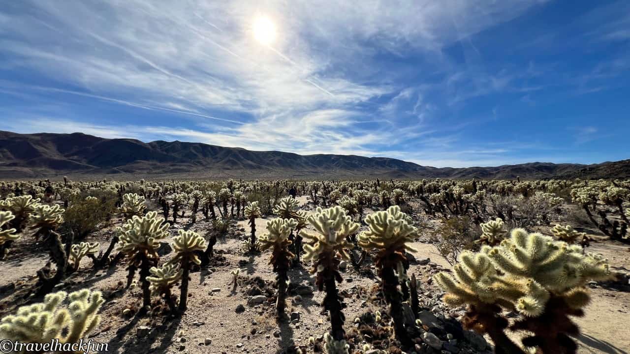
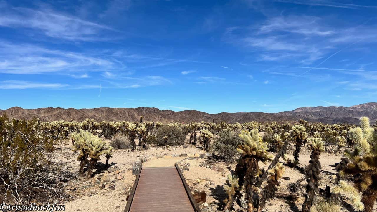
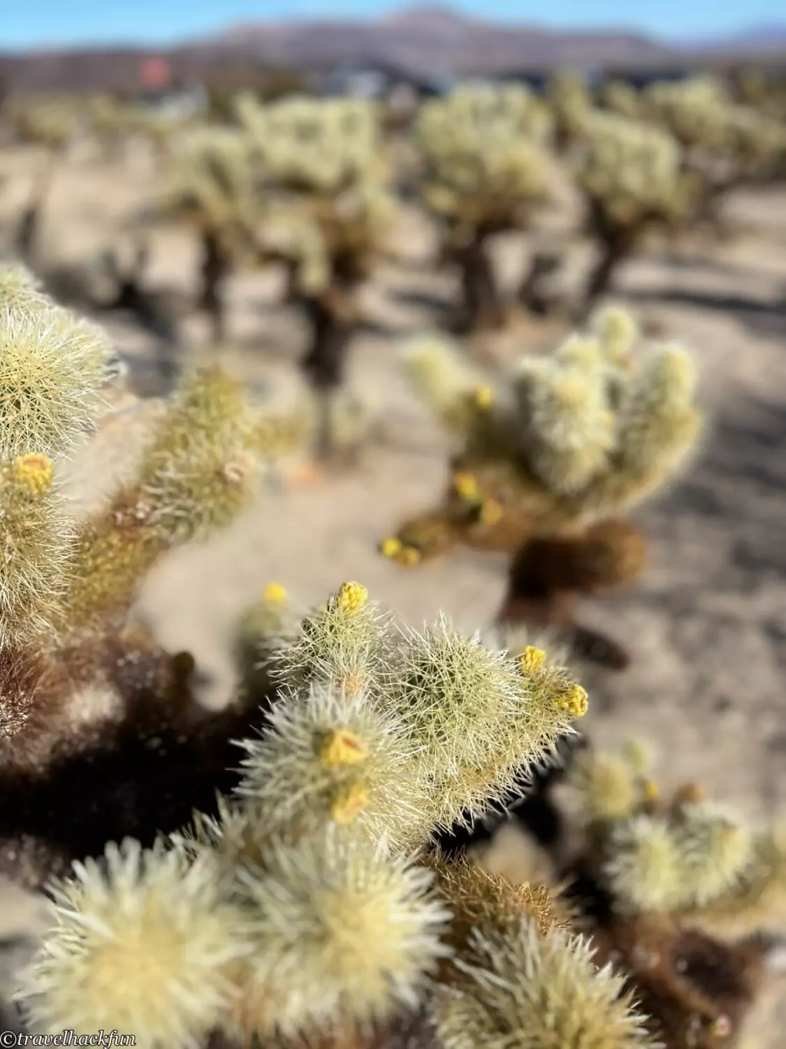
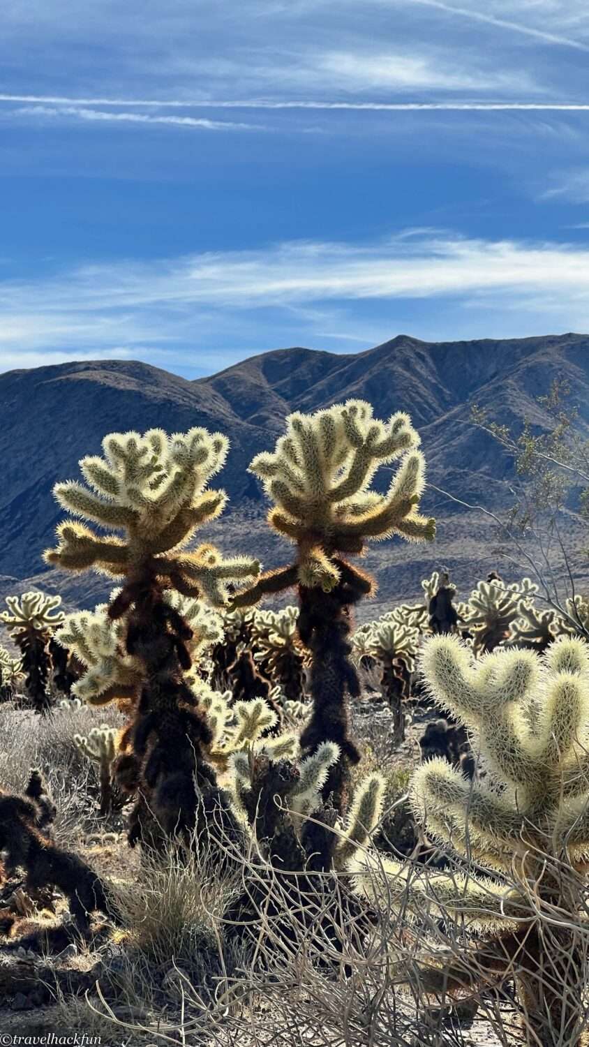
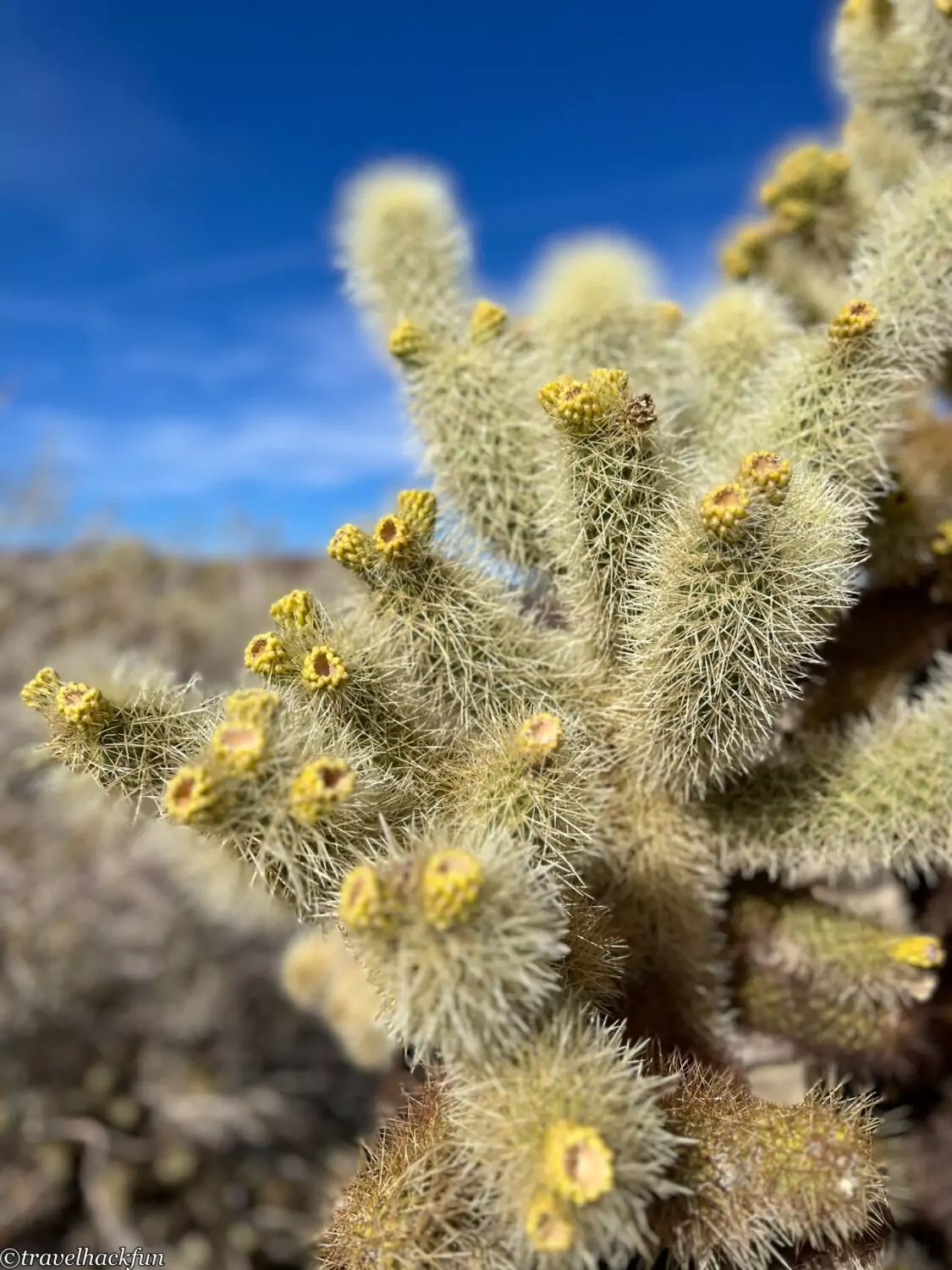
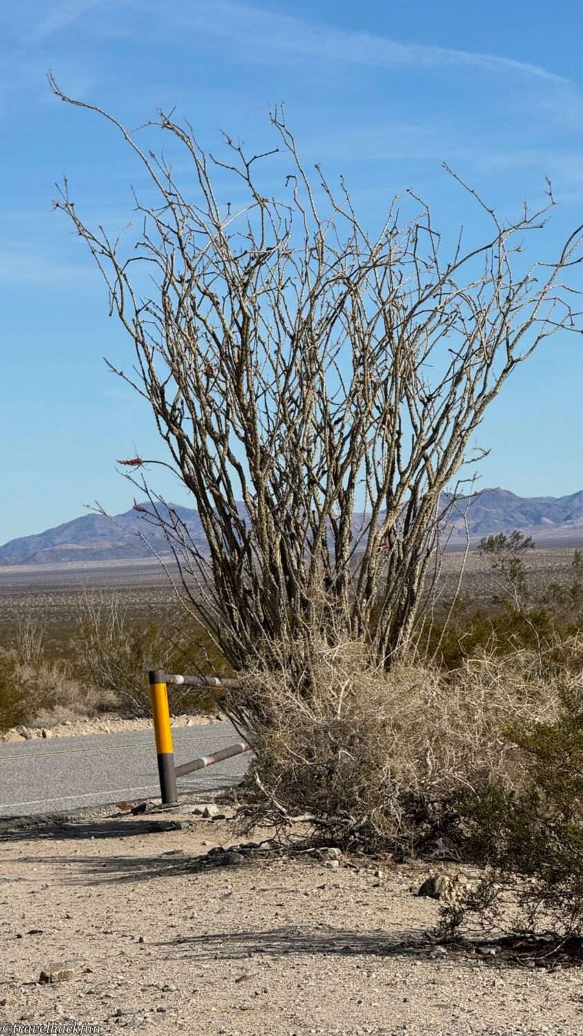
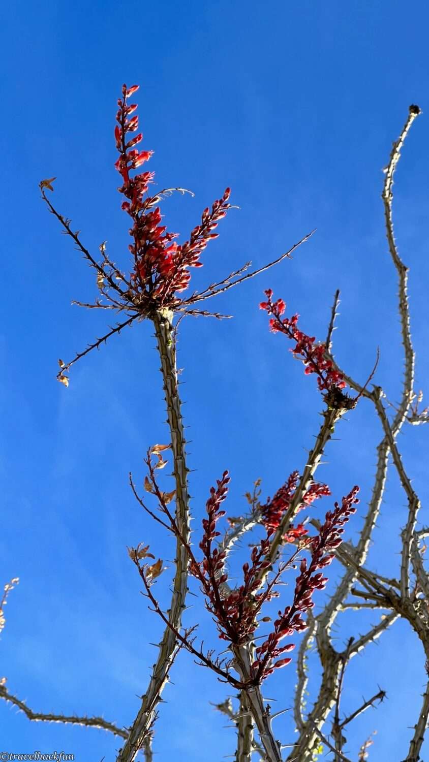
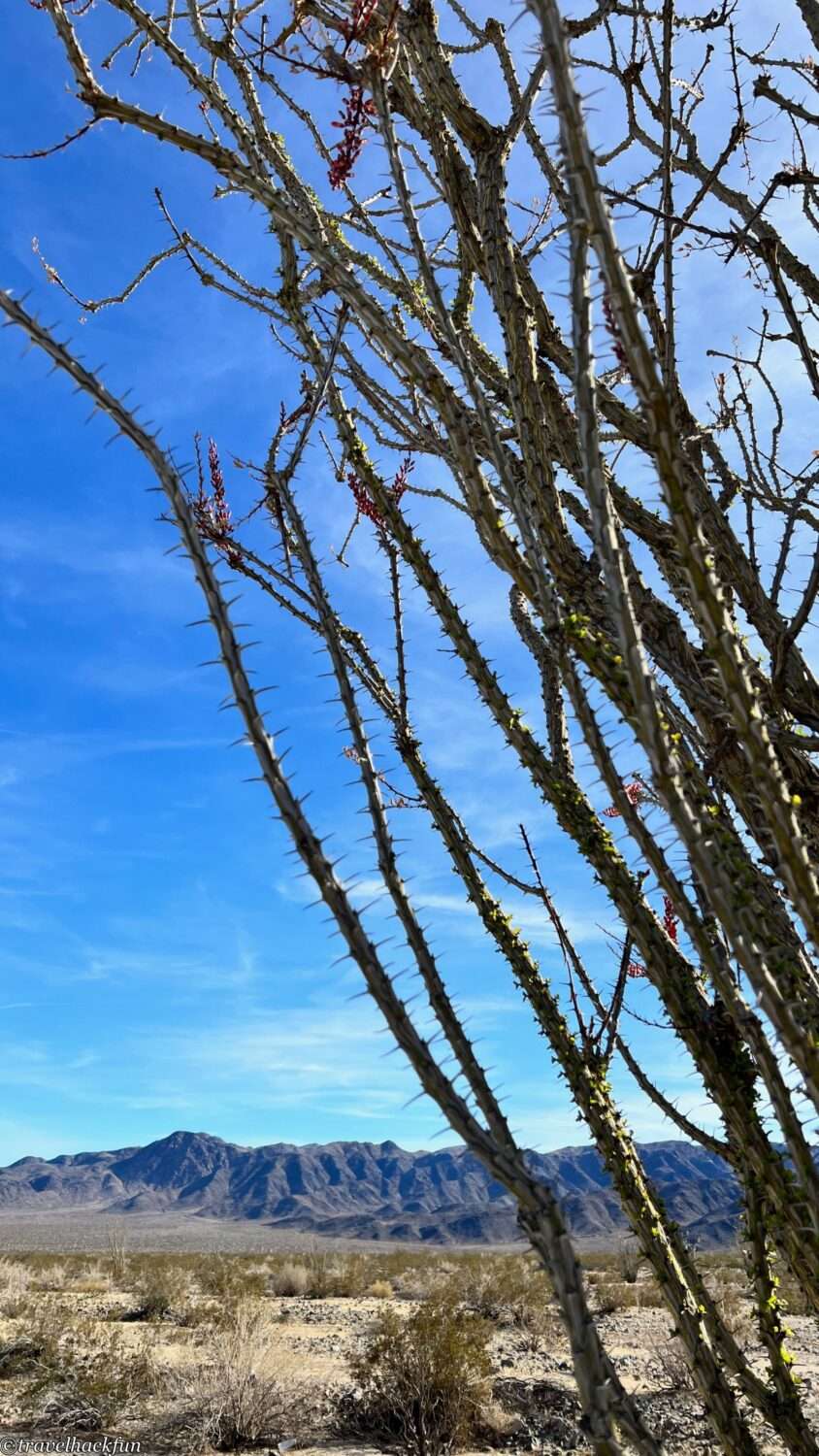
In the vicinity, there's another type of tall, spiky plant commonly seen along Pinto Basin Road. Despite its thorns, it's not a cactus but belongs to the family of woody plants. Another fascinating aspect of this plant is that its flowering does not depend on the season but on whether it has accumulated enough water.
Cottonwood Spring
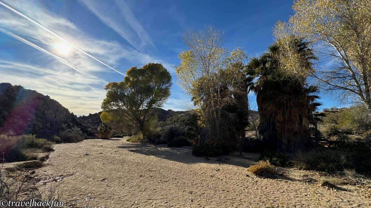
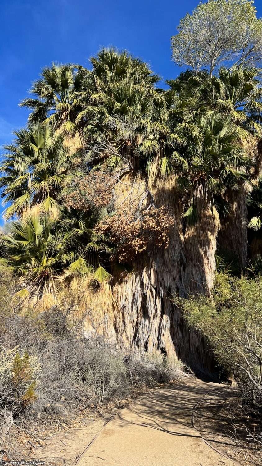
Cottonwood Spring, located in the southeastern corner of the park, is a rare oasis in the desert. Trails starting from this point extend up to 7.5 miles, but if you're just looking to see the oasis, only a short walk is required. This area has been a relatively abundant source of water since ancient times, supporting a wide array of oasis vegetation.
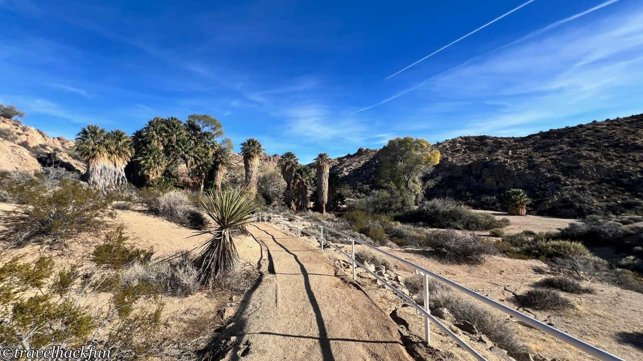
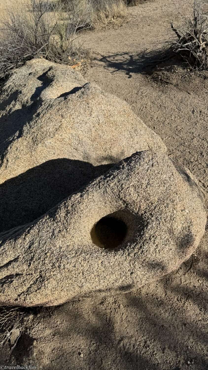
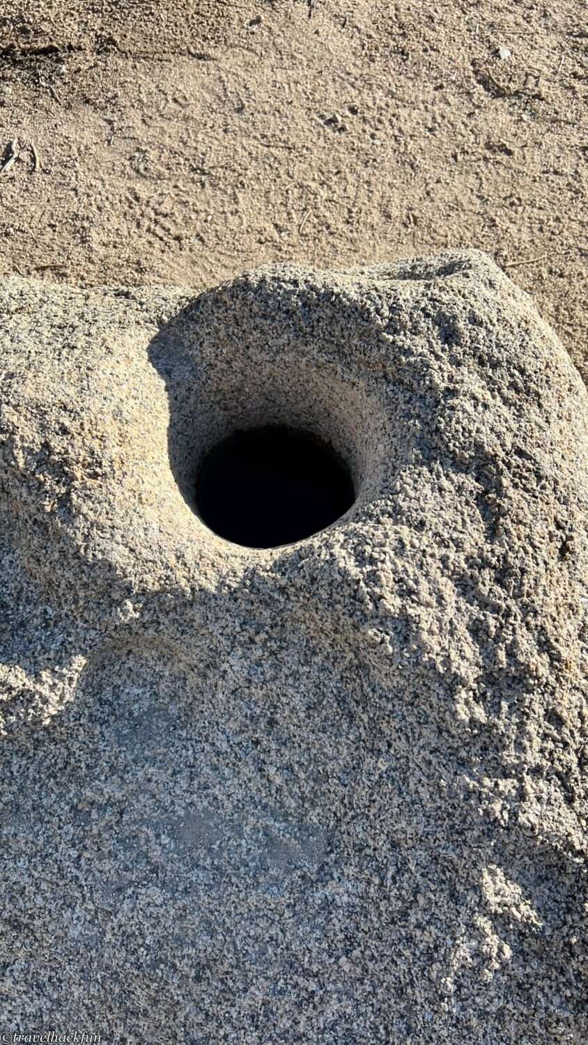
Indigenous people have utilized this water source for irrigation and daily life for thousands of years, and many remnants of their livelihood can be seen here. For instance, stones on the ground with naturally eroded holes were used for grinding plants.
Geology Tour Road
Geology Tour Road, branching off from Park Boulevard, traverses through an open desert area. It intersects with backcountry trails halfway, making it an excellent option for those interested in exploring the desert landscape more deeply but without the time or energy for long wilderness treks. This road is designed as a geological journey, featuring explanations along the way about rock formations created by erosion, fault lines, and remnants of ancient volcanic activity.
Geology Tour Road is entirely unpaved, and the latter part requires a four-wheel drive vehicle with high clearance to navigate. However, the first half of the road to Paac Kuvuhuk can be managed with regular vehicles. It's important to note that during or after the rainy season, the road may be difficult to pass, so it's advisable to check road conditions in advance.
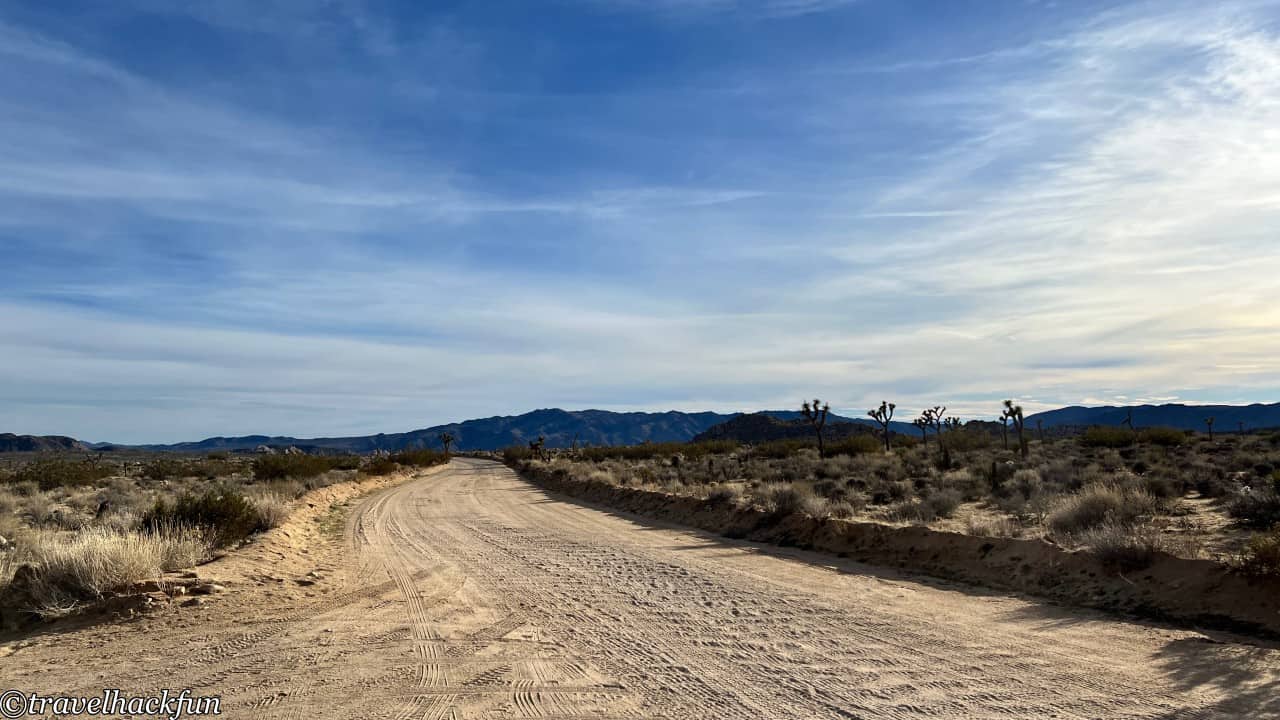
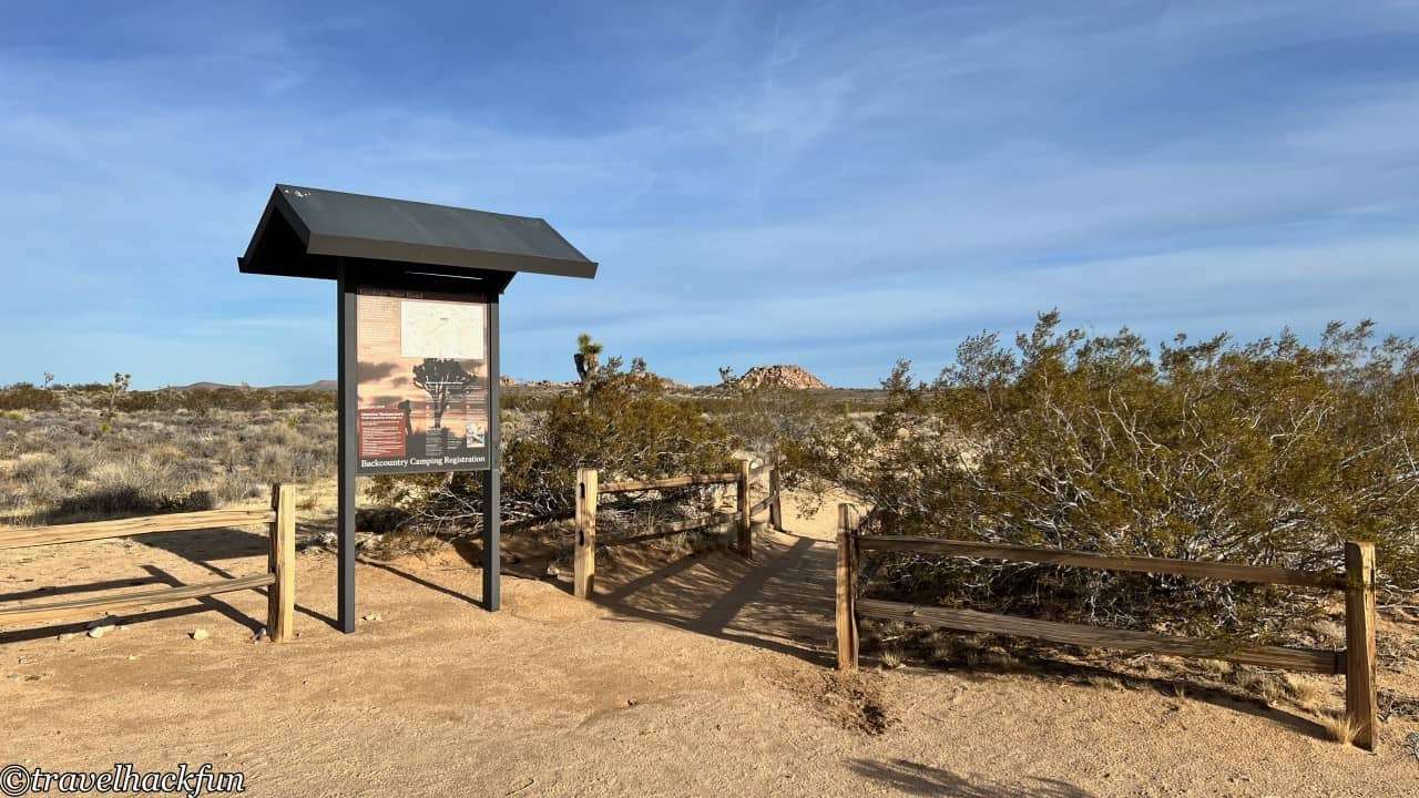
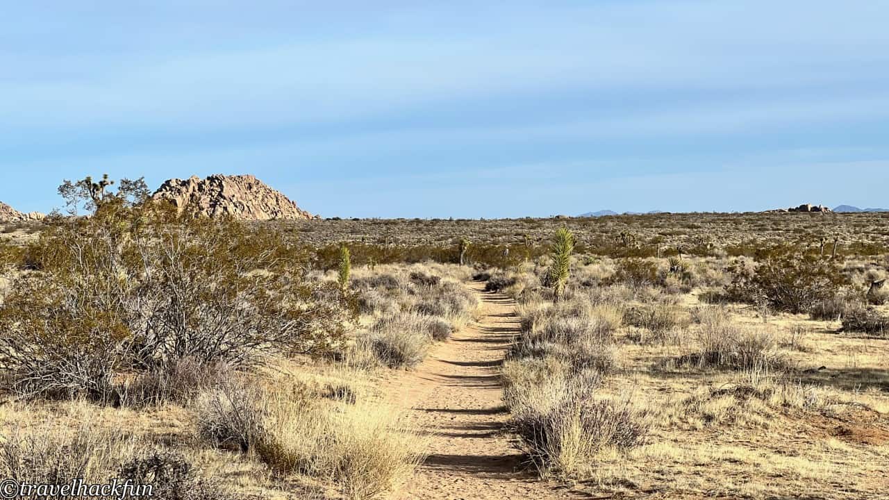
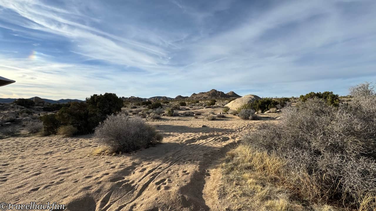
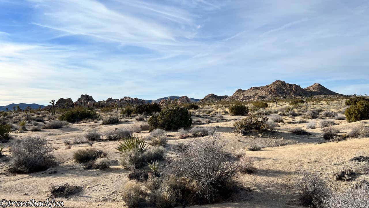
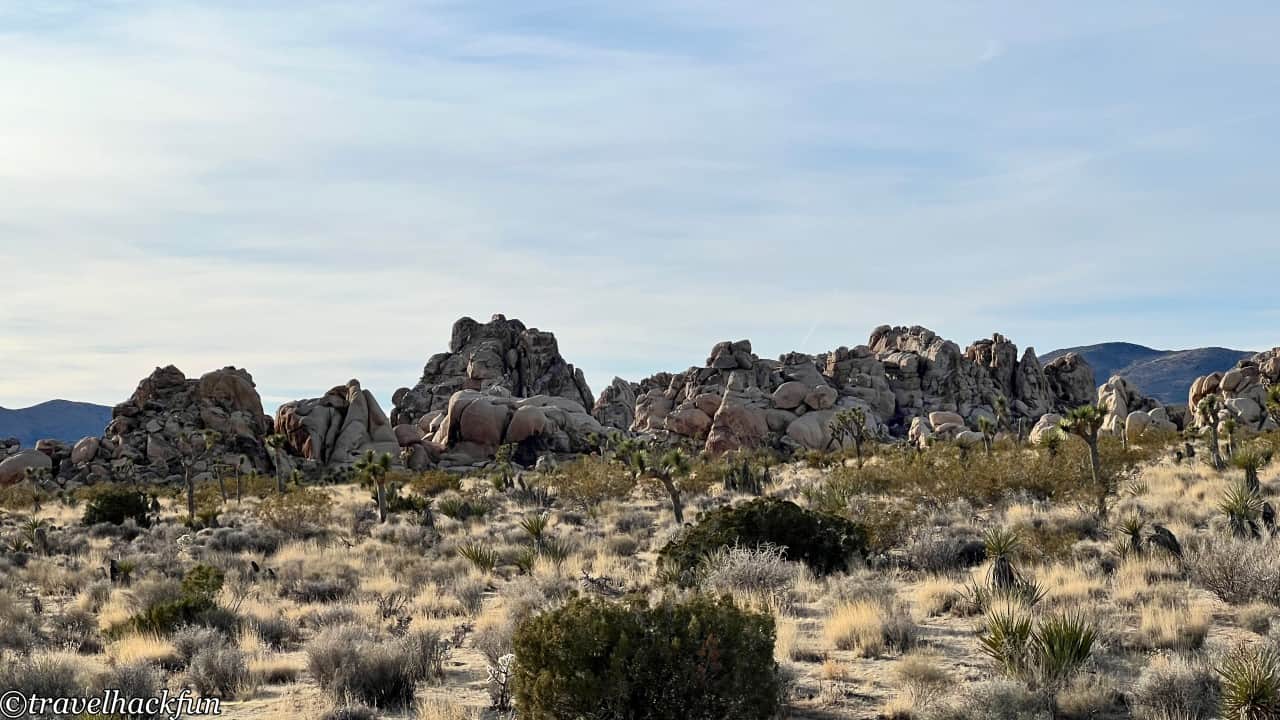
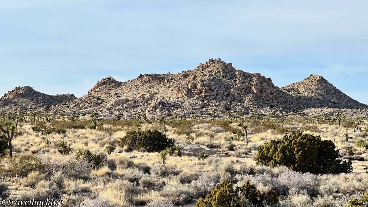
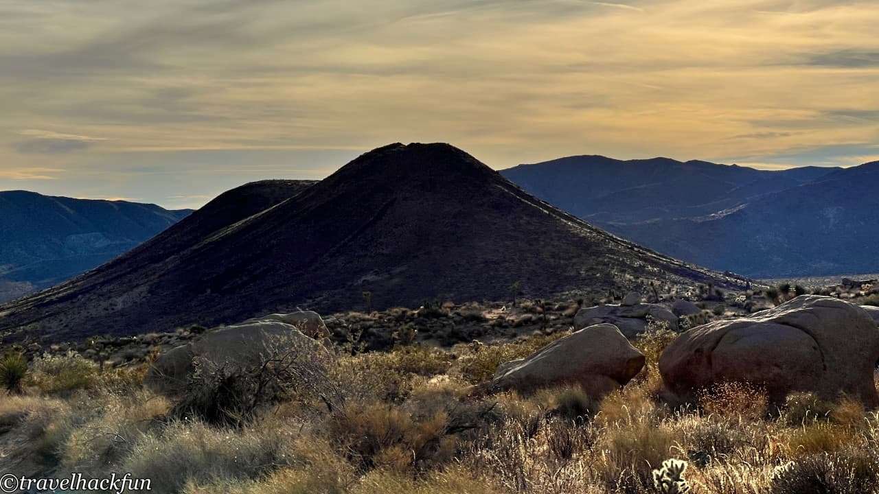
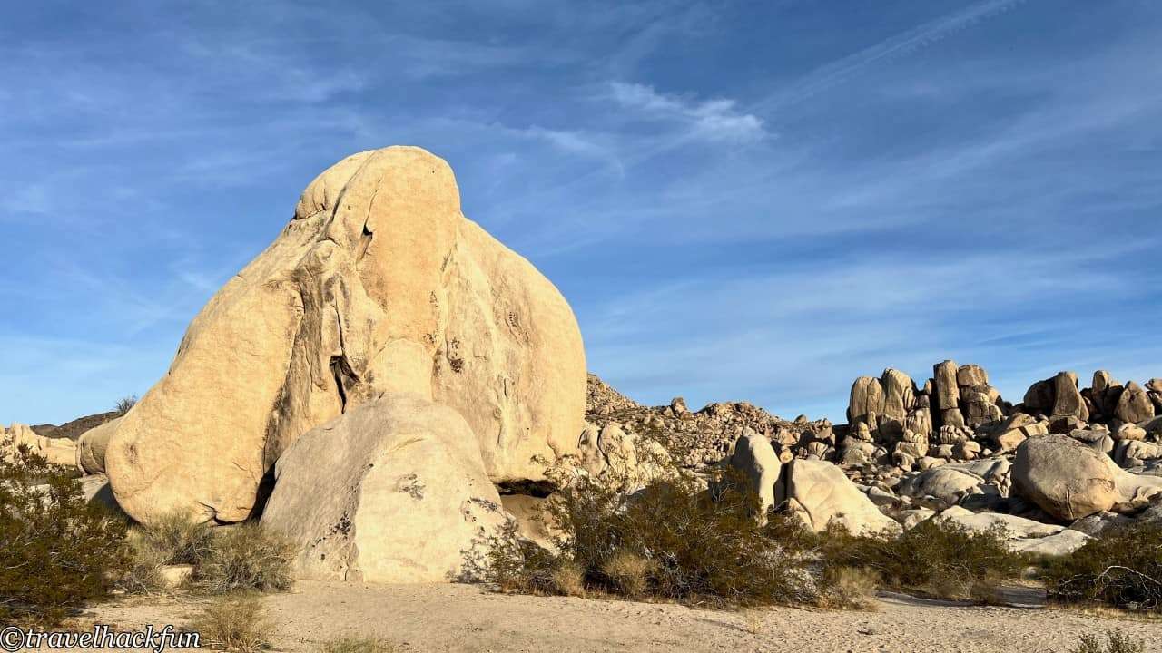
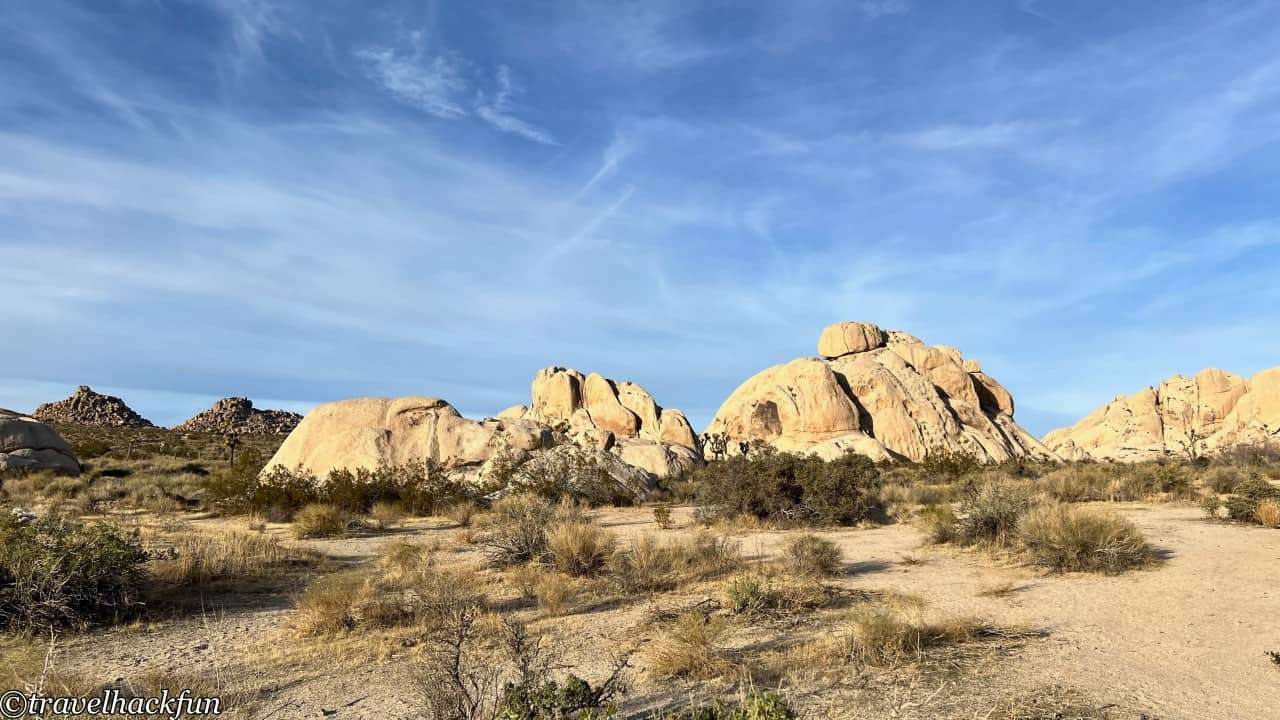
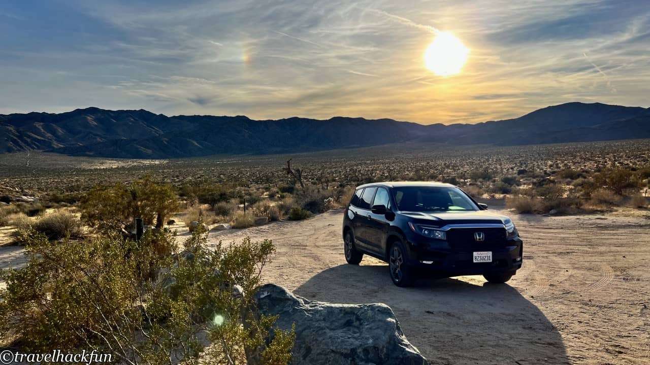
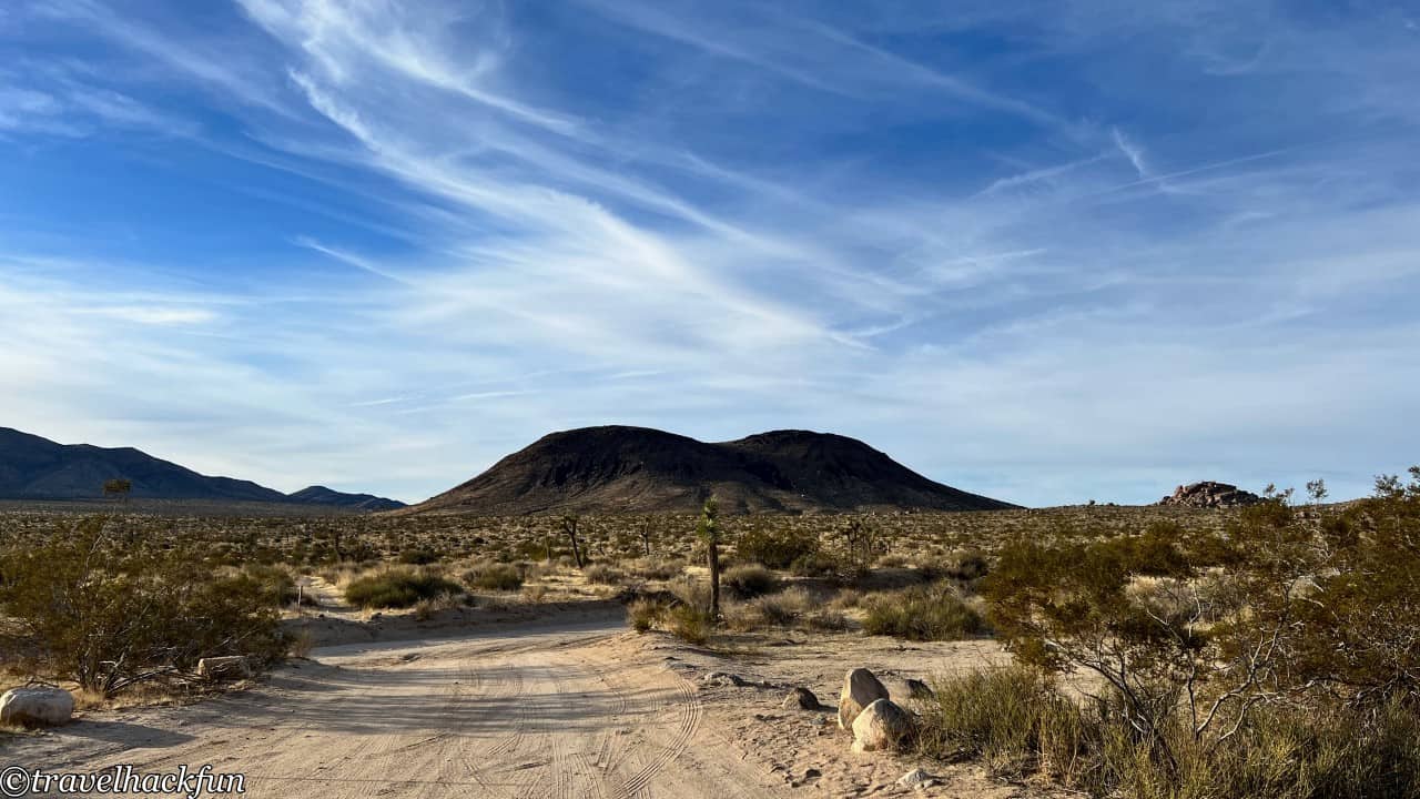
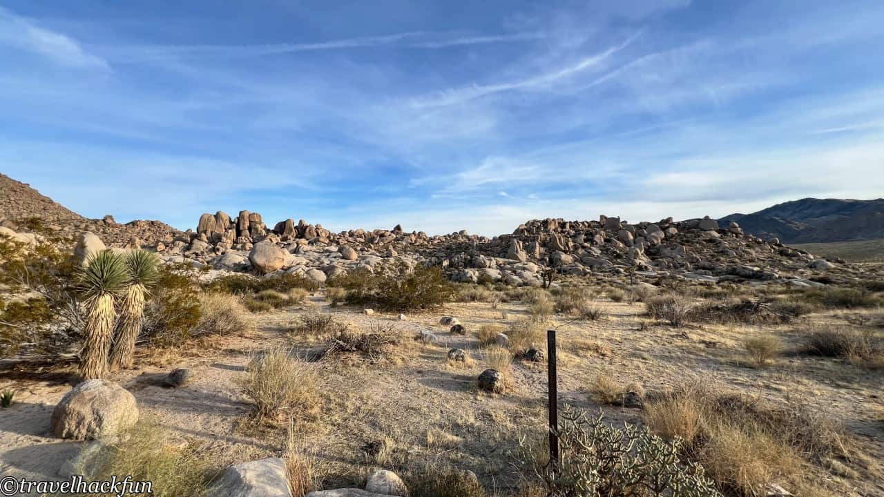
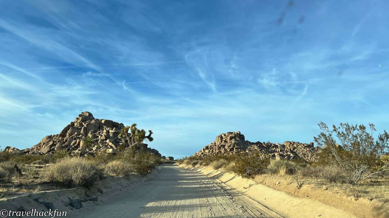
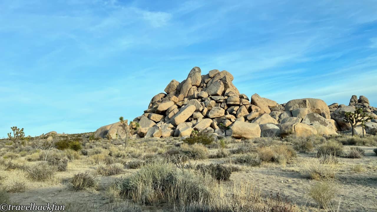
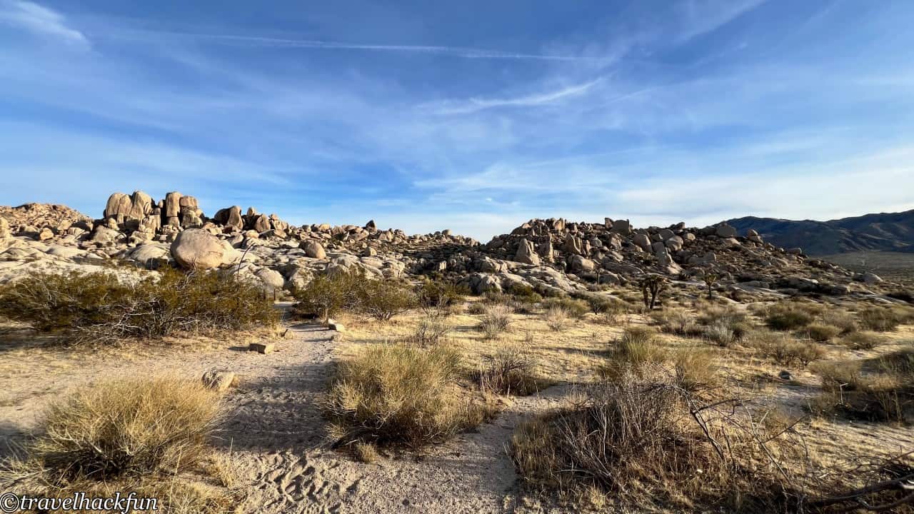
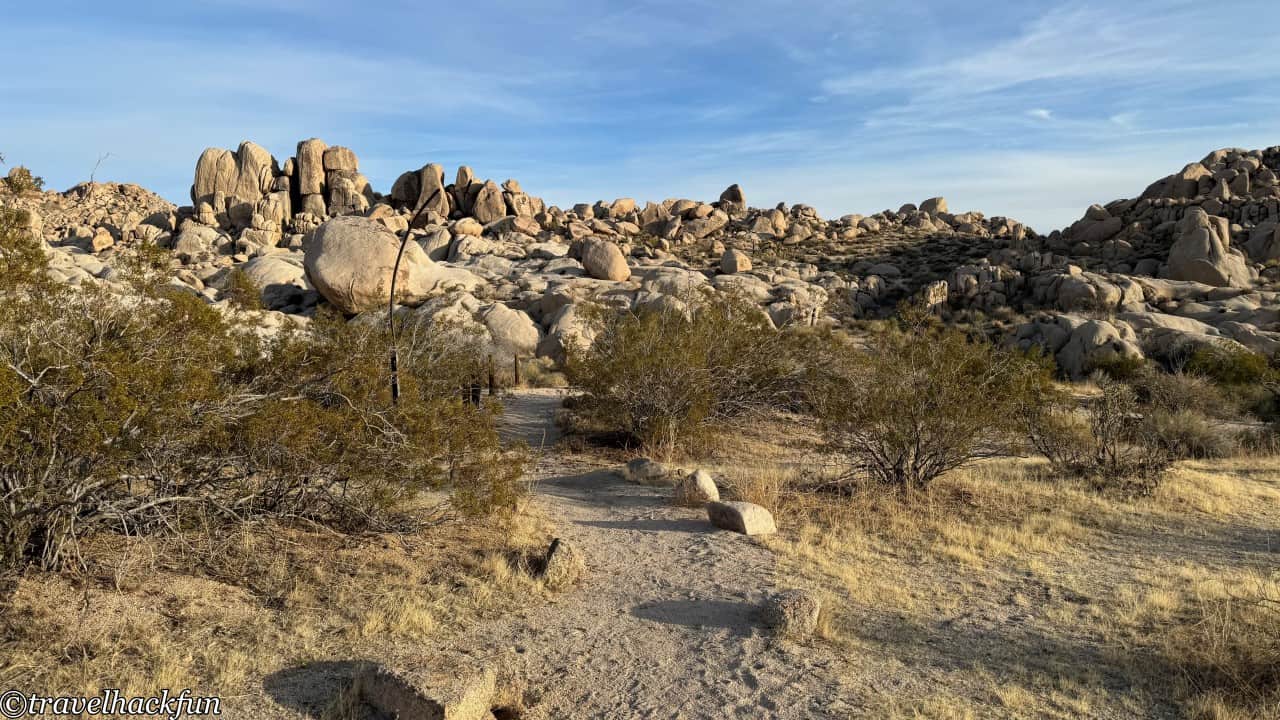
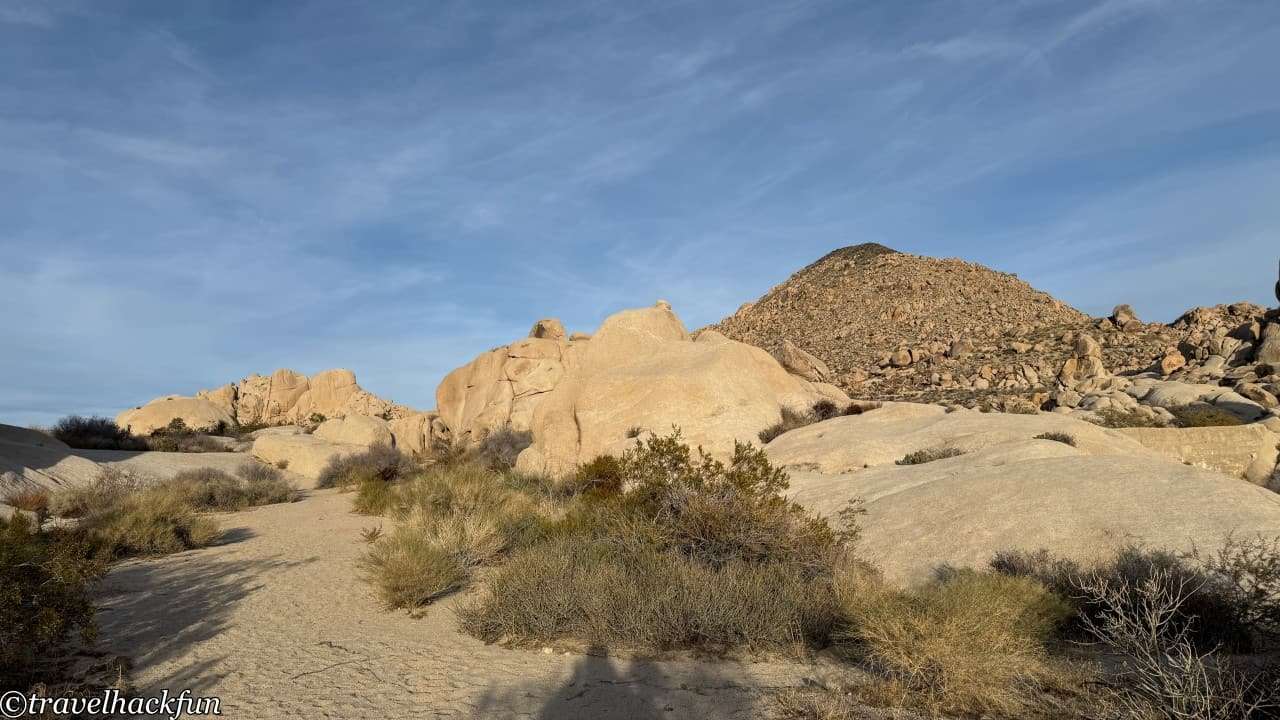
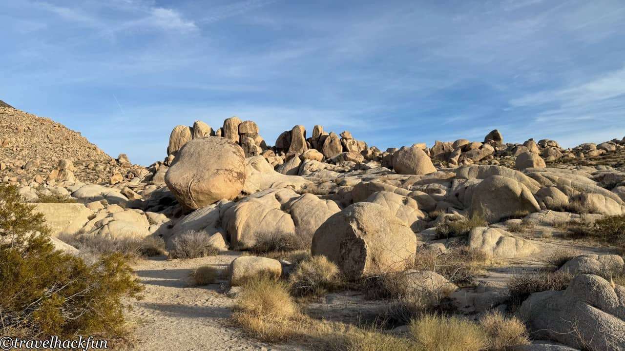
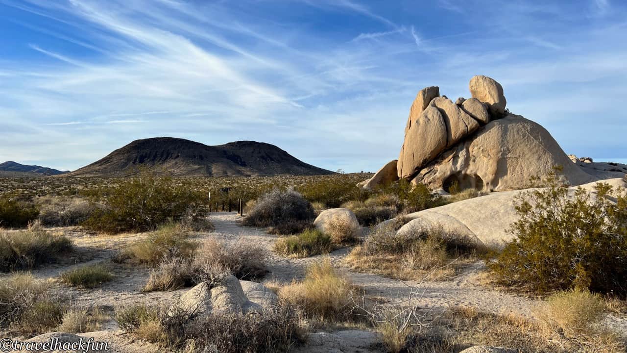
Paac Kuvuhuk is the final stop on the Geology Tour, and it's hard to imagine that 12,000 years ago, this area had a cool, moist climate and was covered in green vegetation, given its current desert state. Beyond this point, the road becomes very rough, so it's advisable not to proceed unless you have an appropriate vehicle. It's worth parking and taking a walk around, as the paths here are open for exploration.
Further reading
- More California posts
- More U.S. National Parks posts
Thank you for visiting our website.
All the content on this site is original and shared with the purpose of providing valuable information. We sustain the operation of this site through a small amount of advertising and sponsored links. If you click on links to third-party merchants on our site and make purchases, we may receive a portion of the sales as a commission. If you click on links to third-party merchants on our site and make purchases, we may receive a portion of the sales as a commission.
Find more posts on a map Here.
My recommended resources for hotel bookings.
Recommended travel credit card for US-based travelers
Travel with just a backpack!
Buy me a coffee and support my contents!
If you are interested in quoting this article or using any part of its content and images on your website or publication, please contact us via email to request permission.