Table of Content
Hawaii Volcanos National Park: Trip Planning
Hawaii Volcanoes National Park is an absolute must-visit attraction on the Big Island. It is the largest volcano national park in the world, and its centerpiece, Kilauea, is an active volcano. In the 20th century alone, Kilauea erupted 45 times, and it continues to exhibit active volcanic activity, with occasional lava flows. Witnessing lava at Hawaii's volcanoes is one of the most popular activities on the Big Island.
The entire Hawaii Volcanoes National Park covers a vast area of 134,795 hectares, which can be divided into three parts according to the roads you drive. Crater Rim Drive, which surrounds Kiluaea Volcano, Chain of Craters Road, which connects to Crater Rim Drive and extends south to the ocean, and the Kahuku Unit on the south side of the Big Island are all volcanic landscapes, with the main difference being the age of the three areas. Crater Rim Drive is currently the most active, while Chain of Craters Road has many traces of the 1974 eruption, and the Kahuku Unit is the oldest, with the terrain formed by the 1808 eruption.
Our Hawaii Volcanoes 2-day itinerary is as the following:
- Day 1: Departing from the accommodation in the city of Kona on the west coast of the Big Island, we first passed through the Kahuku Unit. After completing the Pu’u o Lukuana trail, we then entered Crater Rim Drive. Following a brief stop at the Kilauea Visitor Center, we explored all the open attractions north of the visitor center along Crater Rim Drive. We intended to witness the lava activity in the evening, but there was no volcanic activity that day.
- Day 2: Heading south from the visitor center, we started our morning by completing the 4-mile Kilauea Iki trail. Then, we continued south to explore all the attractions along Crater Rim Drive to Chain of Craters Road. We walked through most of the important trails. Before evening, we returned to Volcano House for dinner, and afterward, we went to see the lava that we missed the previous night.
Overall, most visitors plan either a one-day or two-day trip to Hawaii Volcanoes National Park. If you're really pressed for time and just want to hit the highlights along Crater Rim Drive, a half-day or full-day itinerary is feasible. However, I personally recommend staying for two days. Not only does it take at least a day and a half to fully explore all the park's attractions, but it's also essential to view the lava at night, which isn't guaranteed in just a one-night stay due to the unpredictable volcanic activity. Even without seeing the lava, the crater landscapes can vary significantly depending on the weather. Allowing for two or even three days increases the likelihood of experiencing the park to its fullest. Additionally, Hilo is closer to the east coast city of Hilo on the Big Island. Hilo itself is quite an interesting city, so if you happen to finish seeing the sights early, you could spend a day exploring Hilo as well.
As for whether to join a tour, I think if your budget allows or if you're really short on time, you might consider a helicopter tour. It's quick, convenient, and offers different perspectives of the volcanoes. If you happen to visit when the lava activity is particularly active and there aren't suitable viewing areas within the park, sometimes there are private lava tours available to consider, although they have become increasingly rare in recent years due to volcanic activity. In most cases, however, self-driving for two days is currently the most recommended way to explore the park.
Volcanoes National Park Accommodation
Crater Rim Drive
Crater Rim Drive is the main attraction area of Hawaii Volcanoes National Park. If time is limited, it's best to focus on this area, as simply completing the trails here can easily occupy an entire day. In the past, Crater Rim Drive used to be a full loop that you could drive around, but due to volcanic eruptions several years ago, only half of it is currently open. If entering from the east side of the park, you can start by heading north from the Visitor Center and explore Sulphur Banks, Steam Vents, and Kilauea Overlook either on foot or by car. Then, backtrack southward. After passing the east entrance, you'll find Kilauea Iki Overlook and Thurston Lava Tube. If time permits, you can take a walk along the Kilauea Iki Trail. This area is also where you'll find the only restaurant and lodge in the park, the Volcano House.
Kilauea visitor center
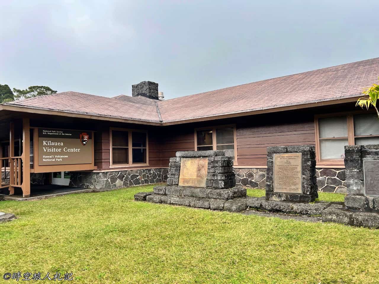
Entering Crater Rim Drive from the park's east entrance, the first stop is the Visitor Center. The Kilauea Visitor Center is the main visitor center of Hawaii Volcanoes National Park. I highly recommend taking some time to stop here and learn about the best routes for exploring the park that day, as well as the current volcanic activity. Due to the park's status as an active volcano, the terrain is constantly changing, and park rangers will provide updates on the best locations to observe lava eruptions for that day. If, like us, you only have access to outdated information found online, it's essential to visit the Visitor Center to gather the latest updates. When we visited in the spring of 2022, we learned at the Visitor Center that many of the popular attractions along Crater Rim Drive had been closed since the 2017 volcanic eruption.
Another option, besides coming to the Visitor Center and asking questions on the spot, is to stop by the Visitor Center before entering the National Park. the official websiteResearch the latest status on the website, especially if you want to see the magma, the official website is updated daily on theMagma NewsMake sure you refer to it so you don't make a wasted trip.
Volcano house
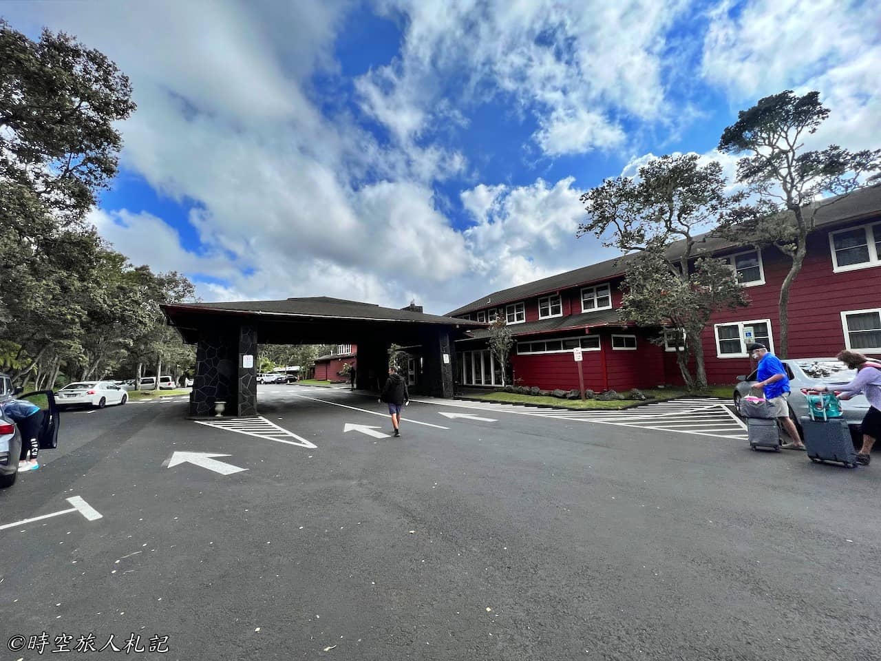
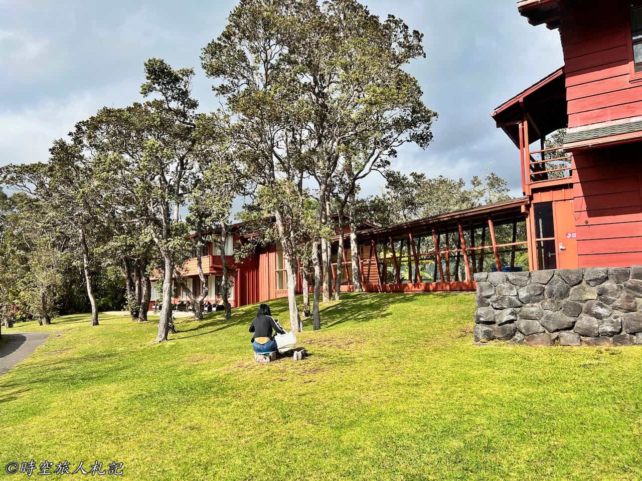
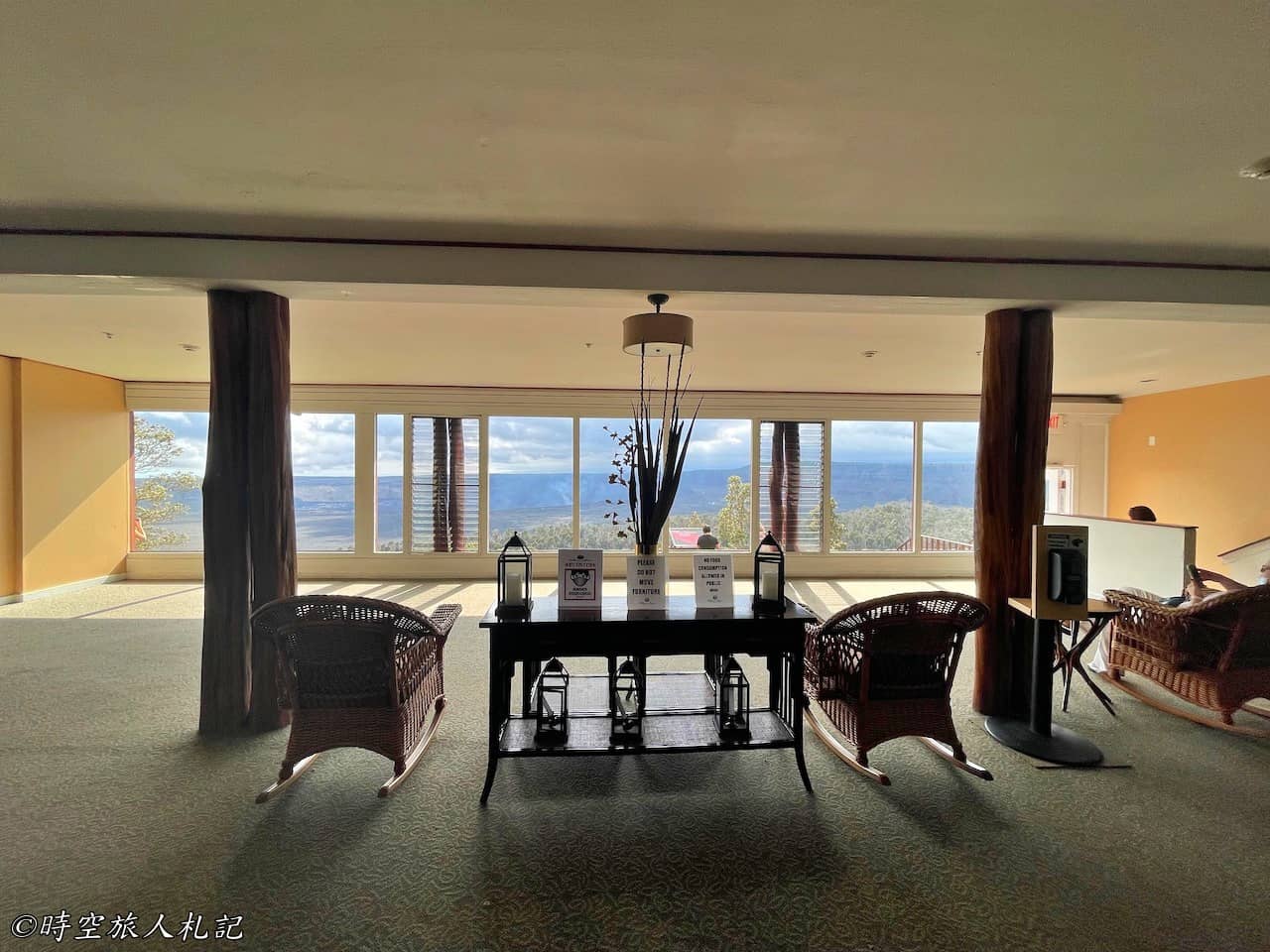
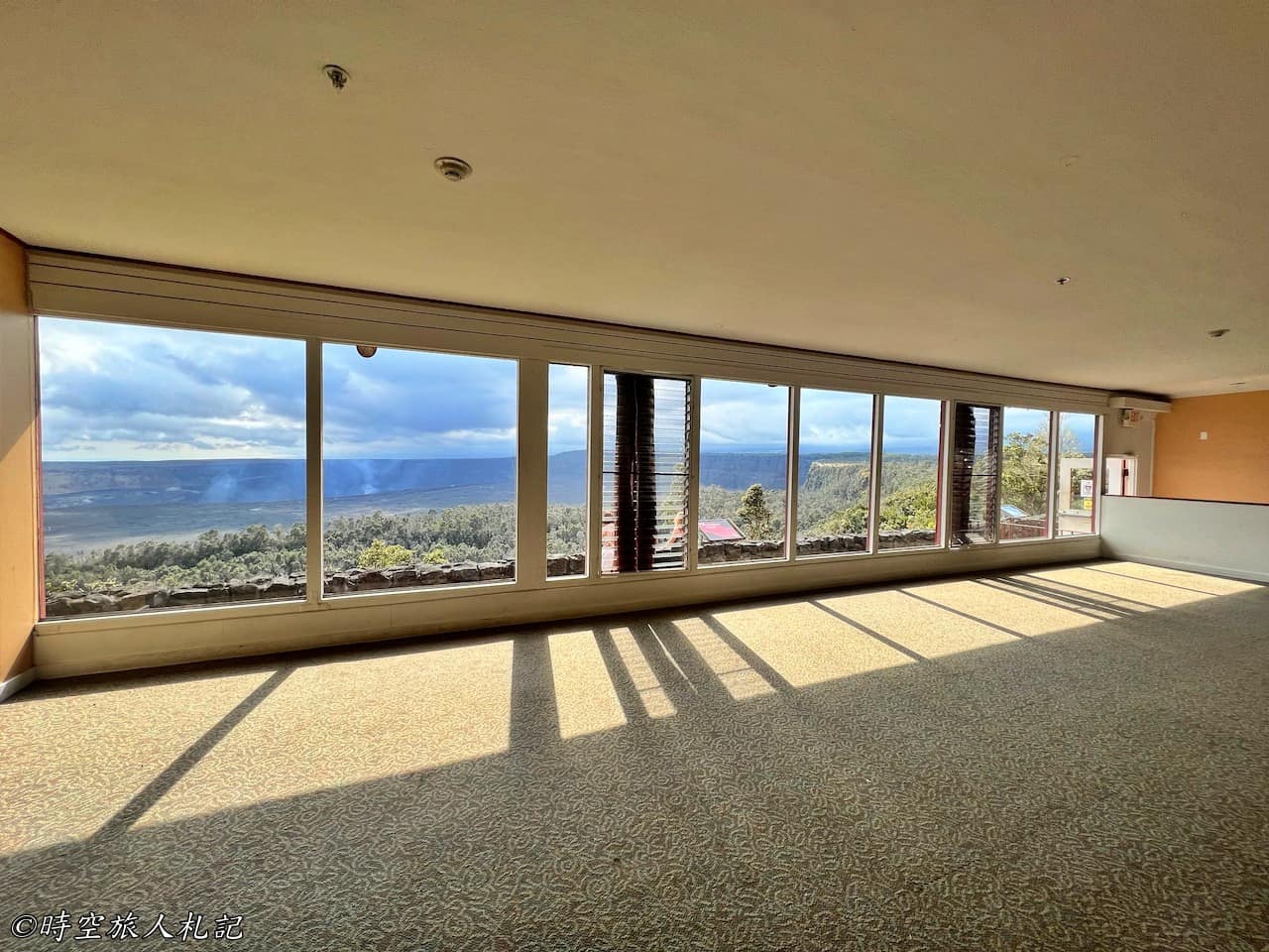
The Volcano House is the only hotel and restaurant within the boundaries of the national park, and despite its unassuming appearance, it occupies the best location in the park in terms of scenery. While accommodation and dining here are quite expensive, just imagine lying in your room or dining by the window with a view of the lava lake – it's truly a luxurious experience. That's why booking a room here is always in high demand. There's also a trail outside the hotel where you can get a clear view of the volcanic crater.

Sulpher banks
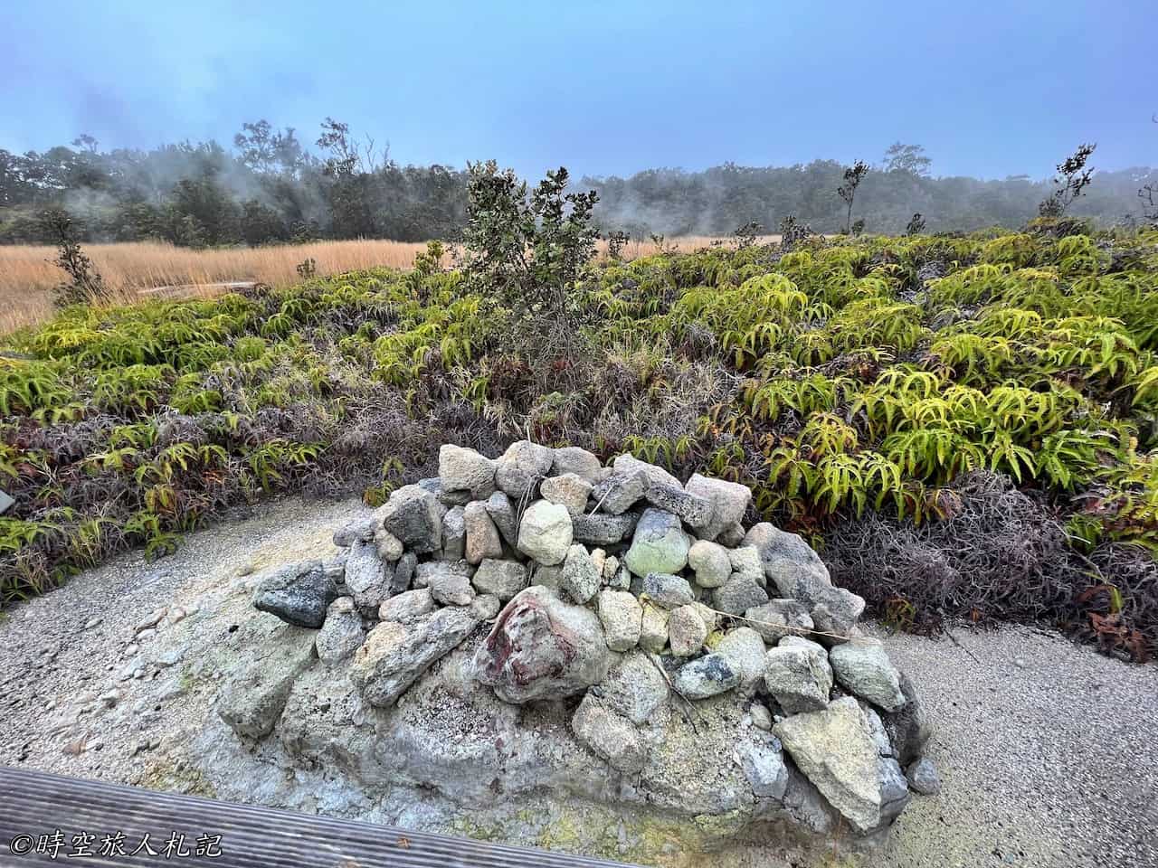
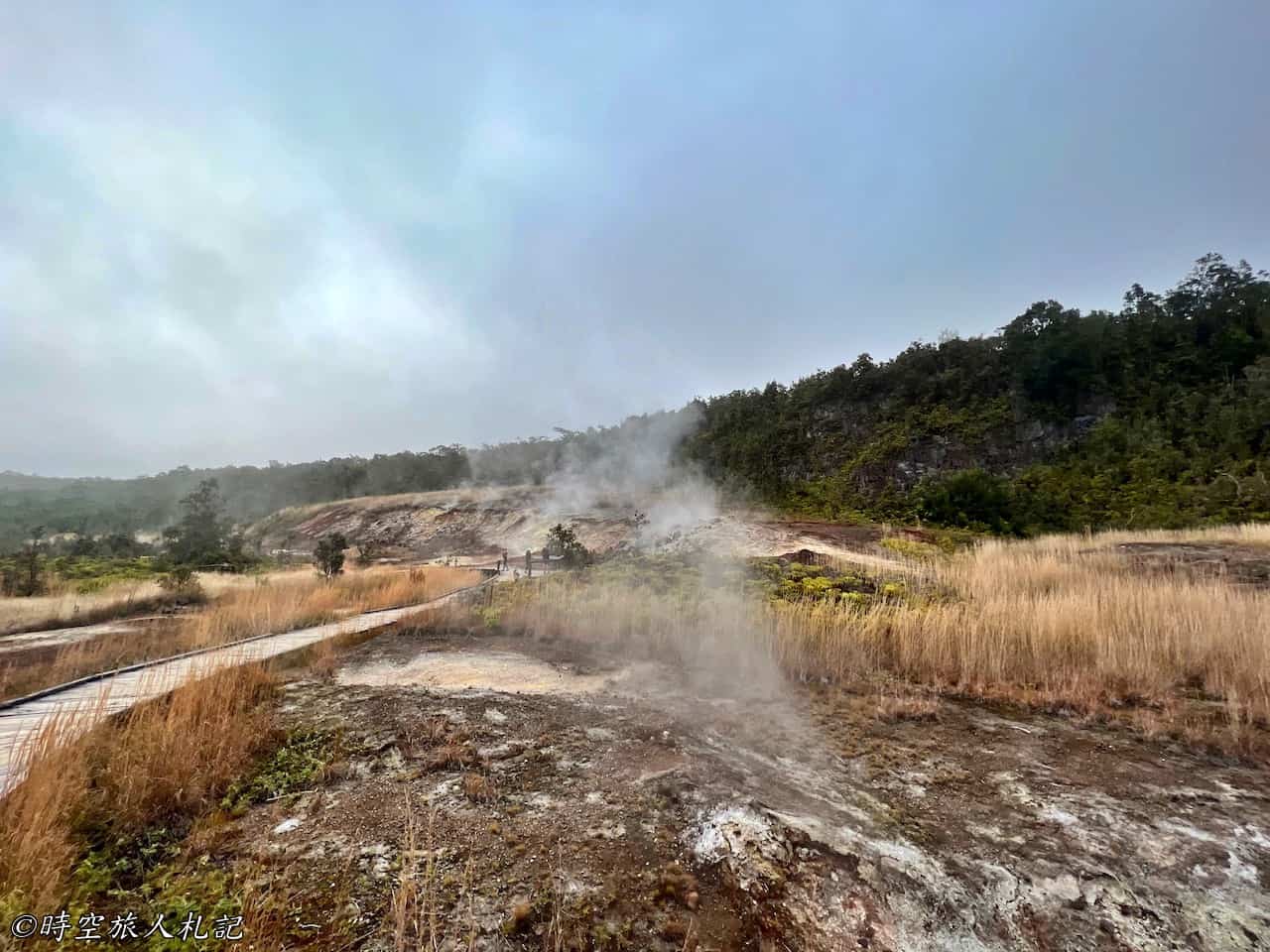
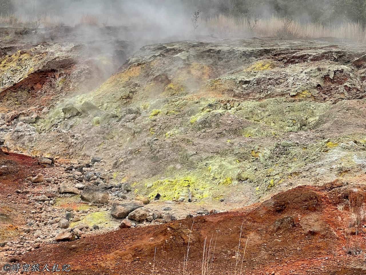
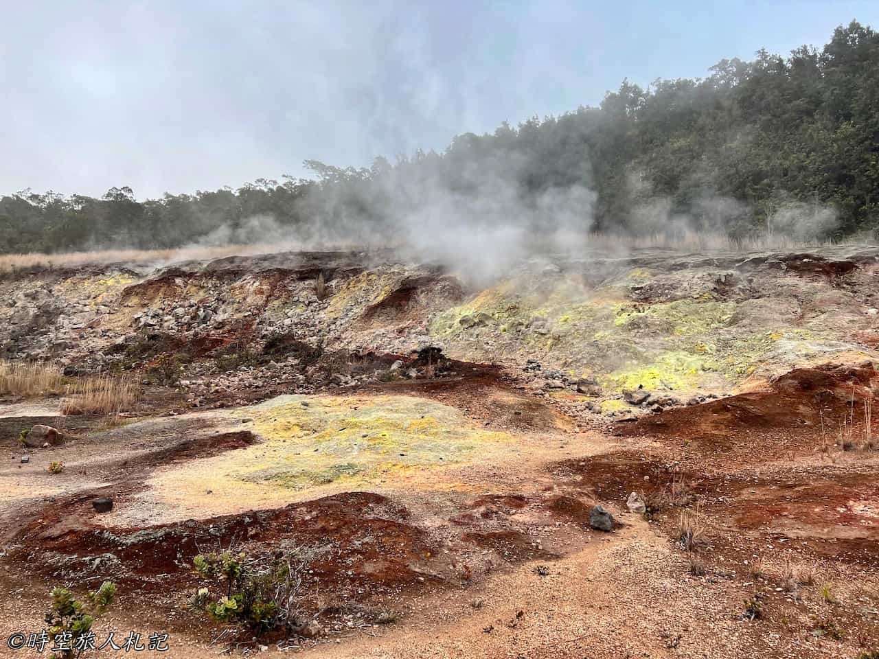
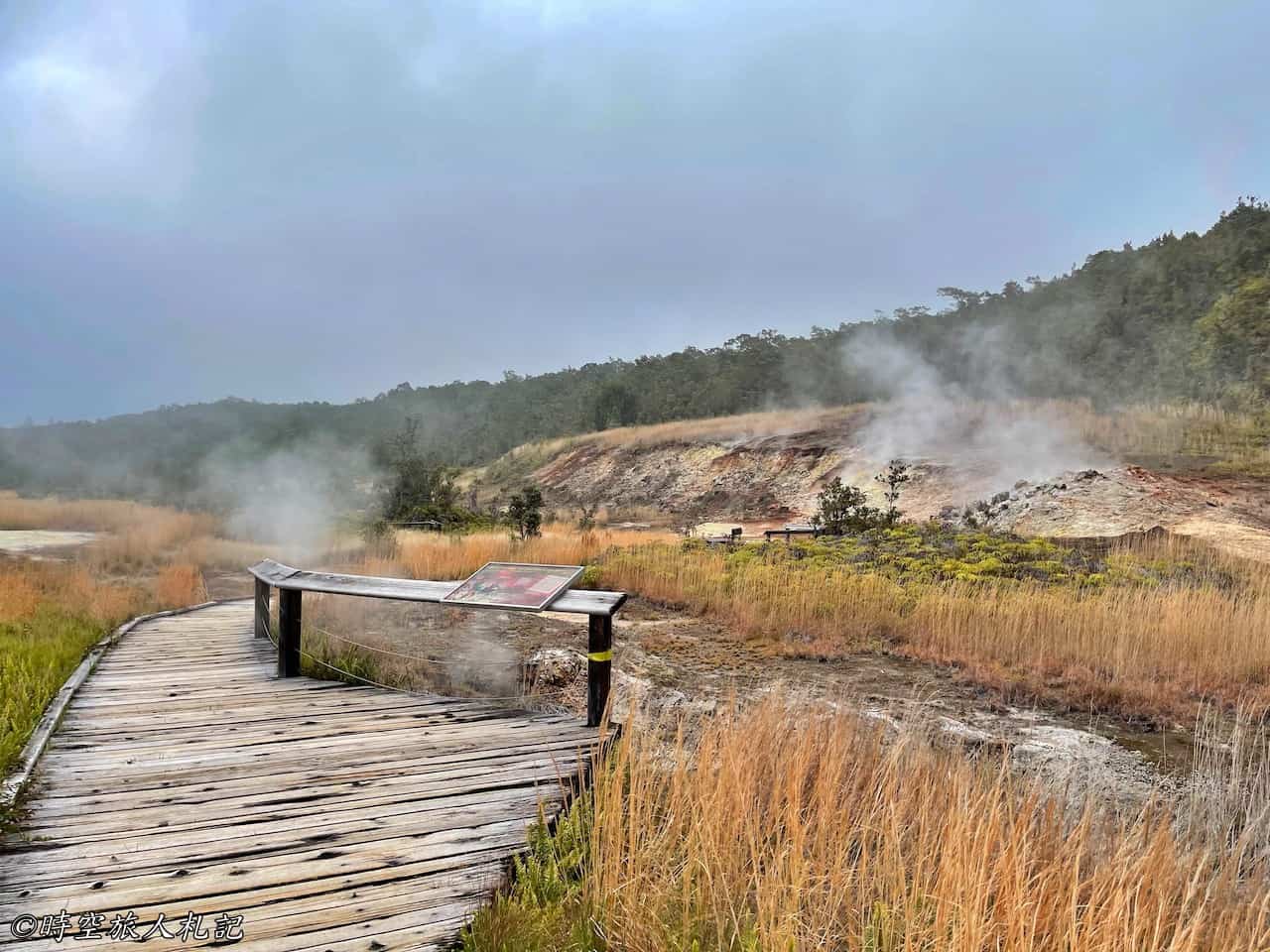
The Sulphur Banks is a sulfur deposit located just a short 0.3-mile wooden boardwalk extension from the Visitor Center, passing through a wooded area. This trail can be extended all the way to the Steam Vents and then loop back to the Visitor Center via the Crater Rim Trail on the other side, making it suitable for hiking enthusiasts. Along the boardwalk, you can observe various sulfur-emitting vents.
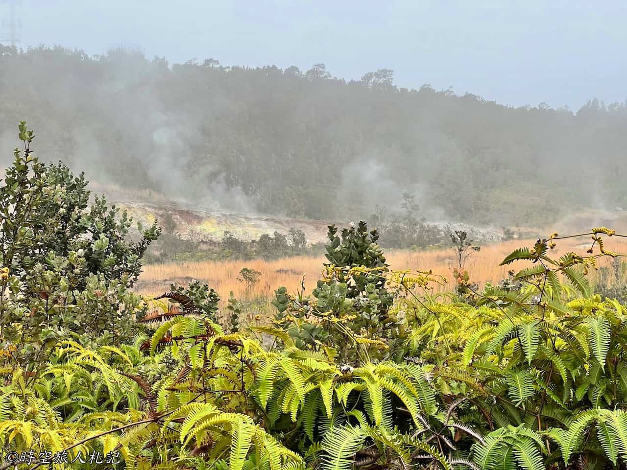
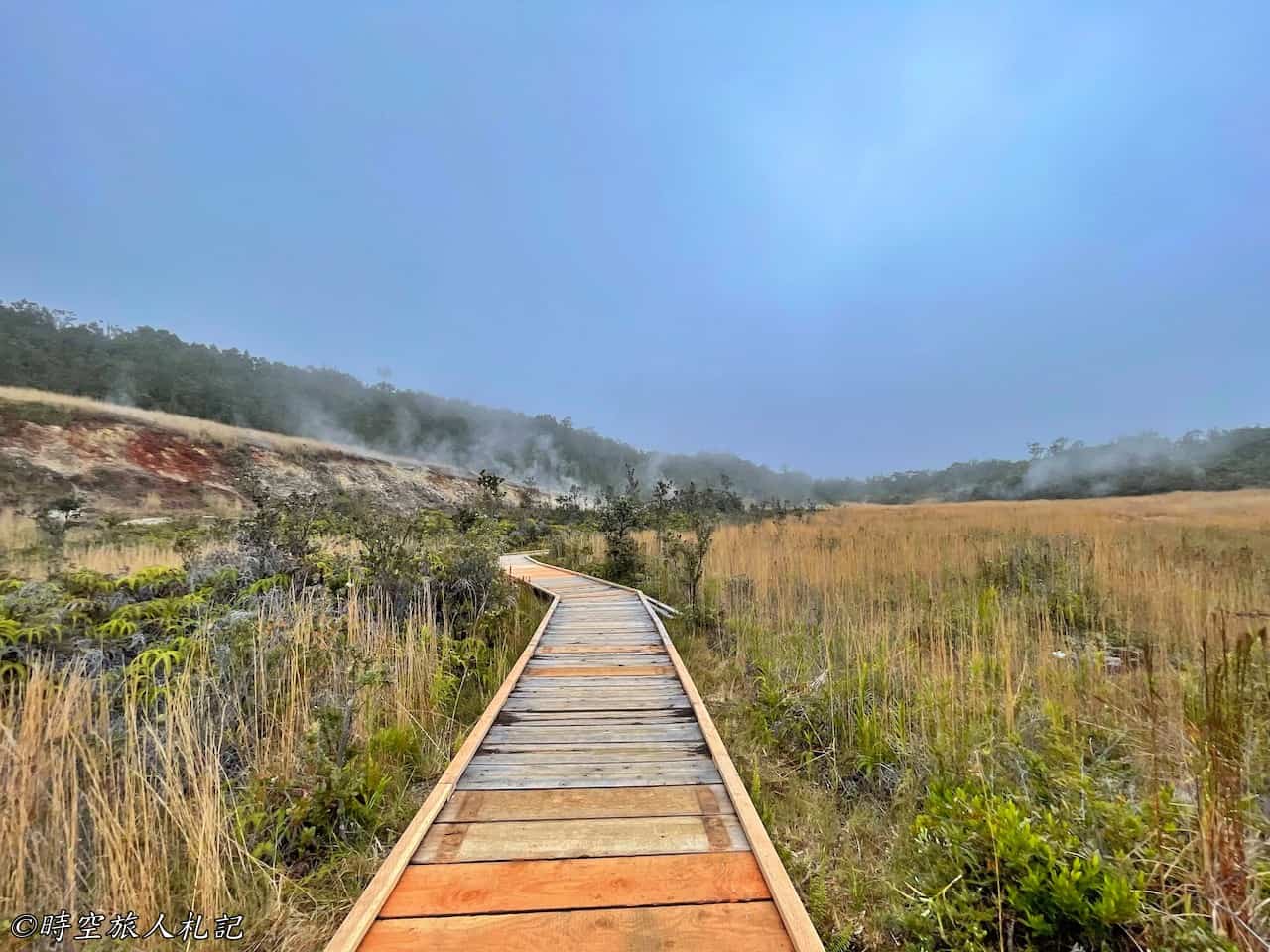
As you approach the Sulphur Banks, the smoke becomes denser, and the smell of sulfur intensifies. I find that the overall scenery here is quite similar to Devil’s Kitchen in Lassen Volcanic National Park, although the sulfur smell is not as strong.
Steam Vents
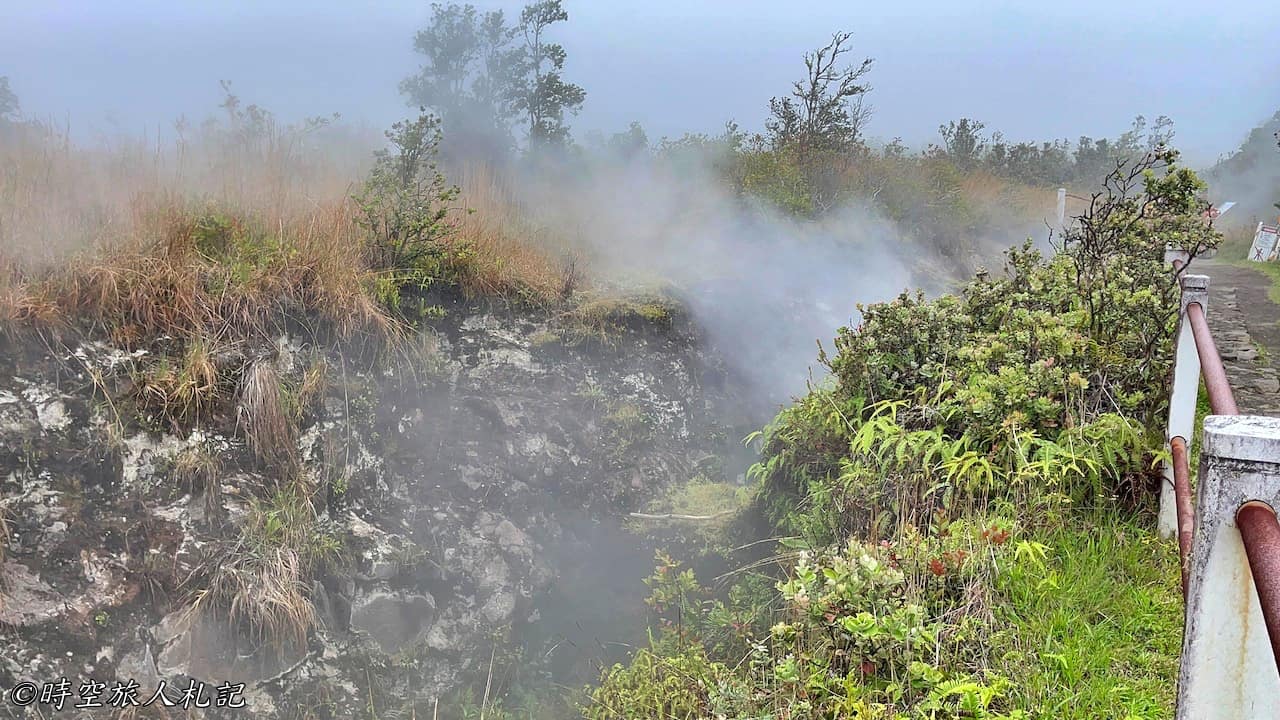
You can reach the Steam Vents either by walking from the Sulphur Banks Trail or by driving to the Steam Vents parking lot. From here, you can walk to the edge of the cliff overlooking the volcano's crater to see the Steaming Bluff. The Steam Vents, located right next to the parking lot, are two large holes in the ground from which a significant amount of volcanic steam emerges. The mist blown out resembles the steam from a steaming pot, hence the name "Steam Vents."
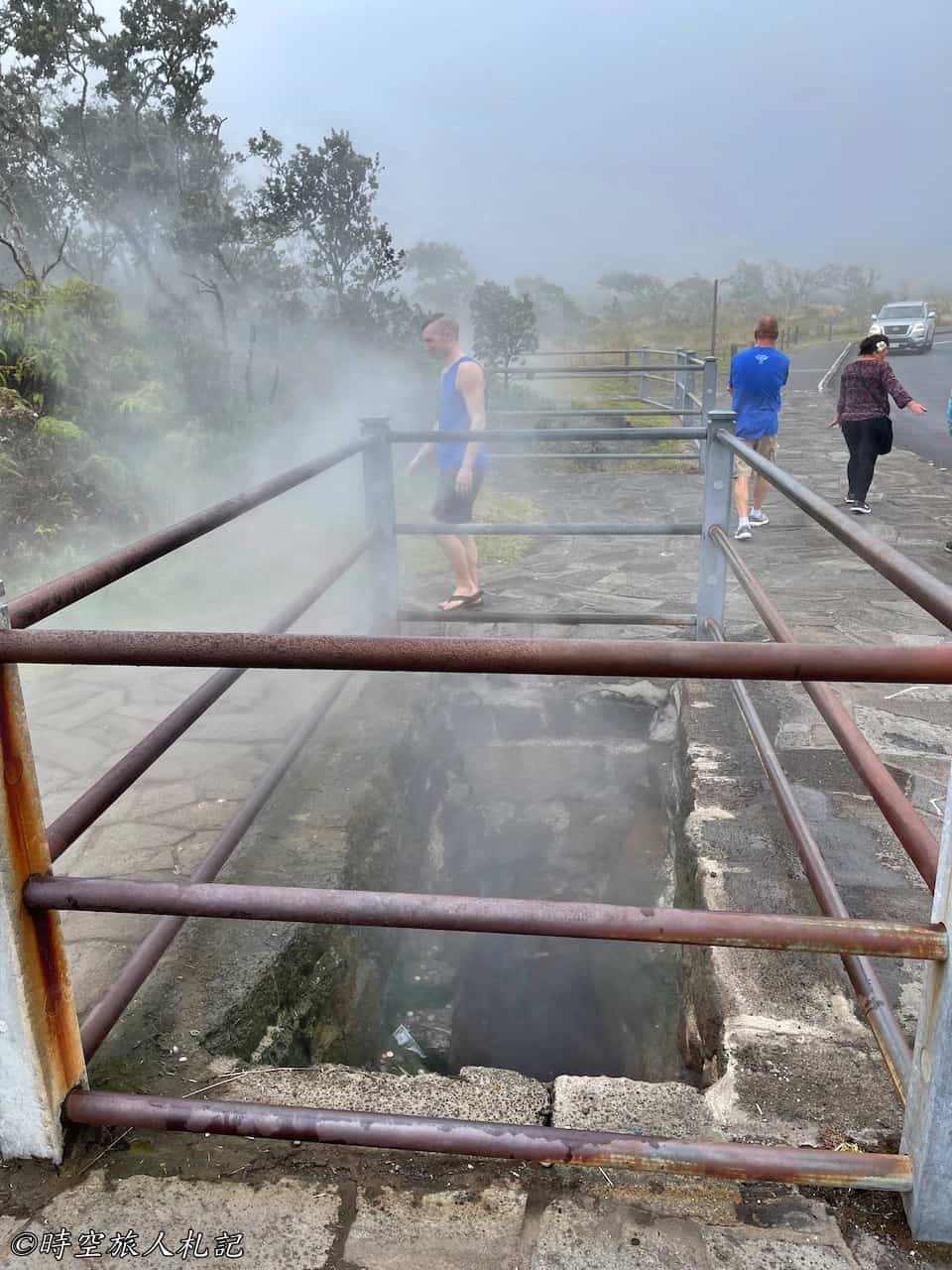
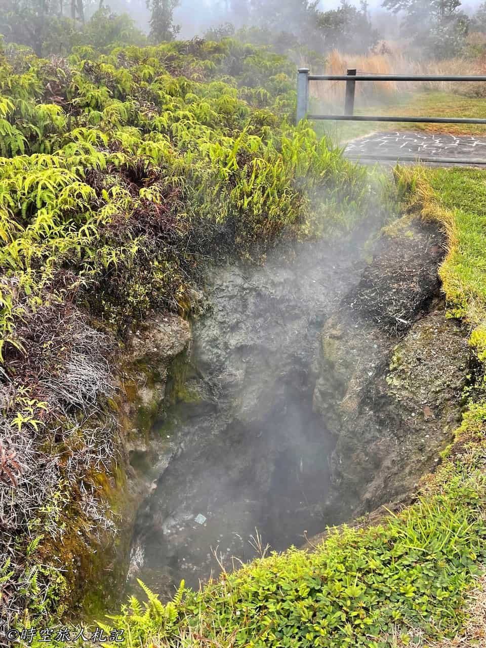
Steaming bluff overlook
Walking from the Steam Vents to the trail along the cliff edge, the mist surrounds the entire pathway, which is known as the Steaming Bluff. This trail is actually quite long, and we were walking along the edge of the cliff. However, most of the time, the fog was so thick that we couldn't see the mountain, except for occasional glimpses when the wind blew, revealing the cliffs below. Here, it feels like the whole mountain is smoking, as if the volcano is breathing.
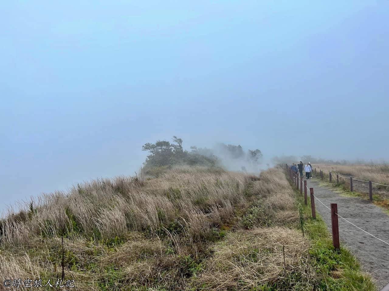
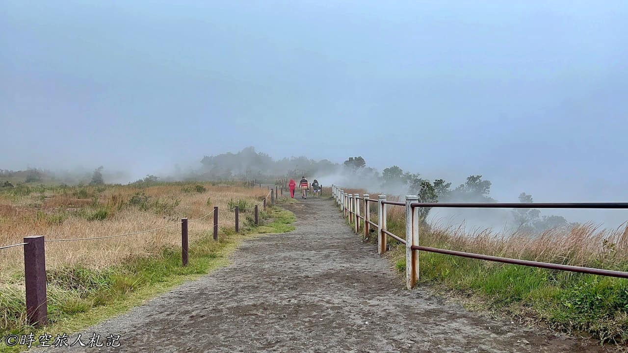
Kilauea overlook
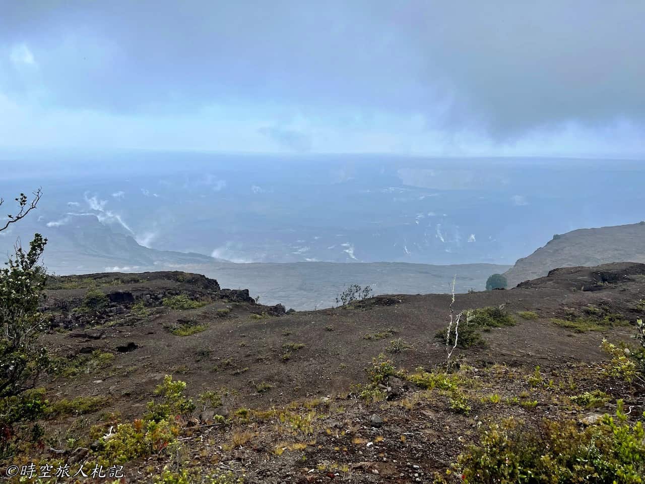
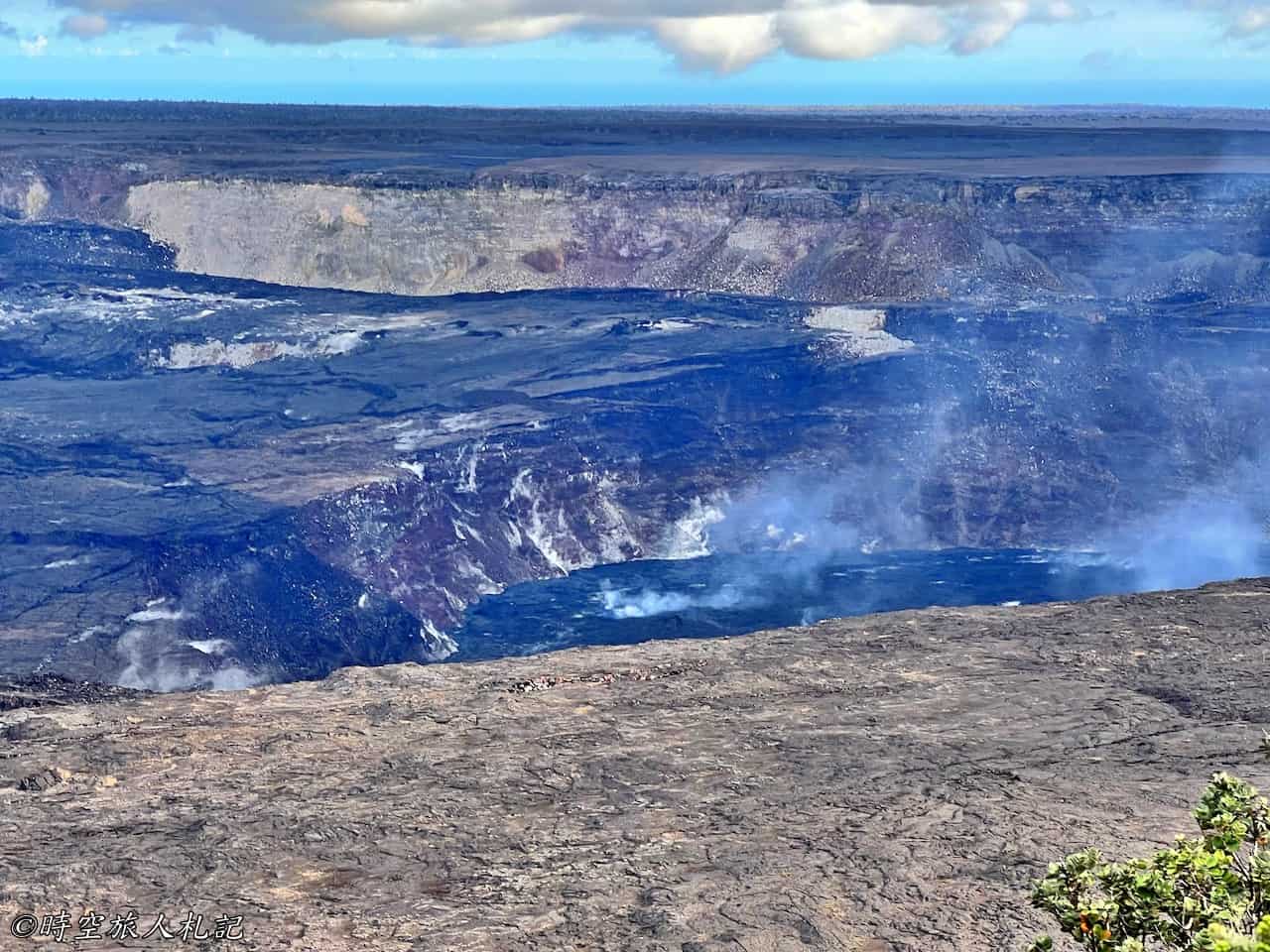
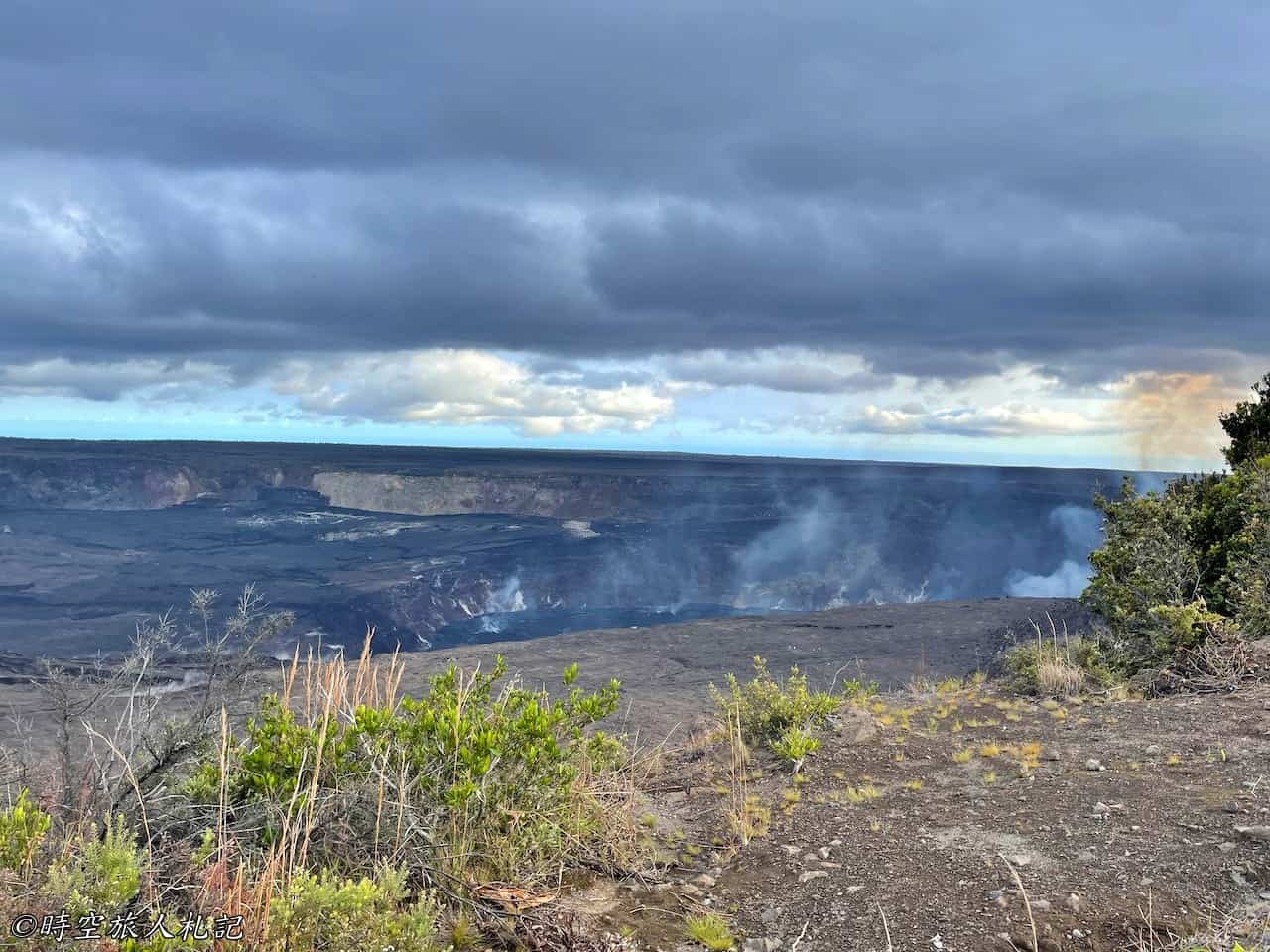
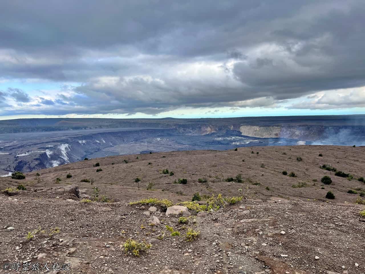
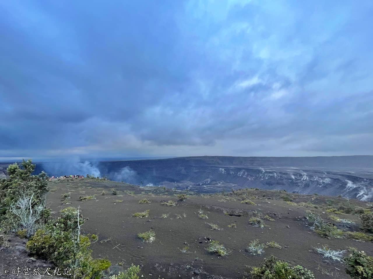
At the Kilauea Overlook, you can see the Halema'uma'u crater, which is a remarkably large crater. If you've seen pictures online, you might know that this crater wasn't always so deep. Before 2018, it often contained a full lava lake. However, after the last major eruption, lava erupted (and incidentally destroyed the Jagger Museum further north), so now we see much less lava, and the crater has become much deeper. Nevertheless, it remains a spot for observing the lava lake. We actually visited this spot several times. The first time, due to the lack of wind for several days, all we could see was a thick fog. On subsequent visits with better weather, we finally got a clear view of the Halema'uma'u crater.
Uekahuna
This is the current endpoint of Crater Rim Drive at its northernmost point, also the highest point on the rim. It's slightly north of the Kilauea Overlook and offers a different perspective of the Halema'uma'u crater. This spot holds sacred religious significance for the local indigenous people.
Kilauea Iki Trail
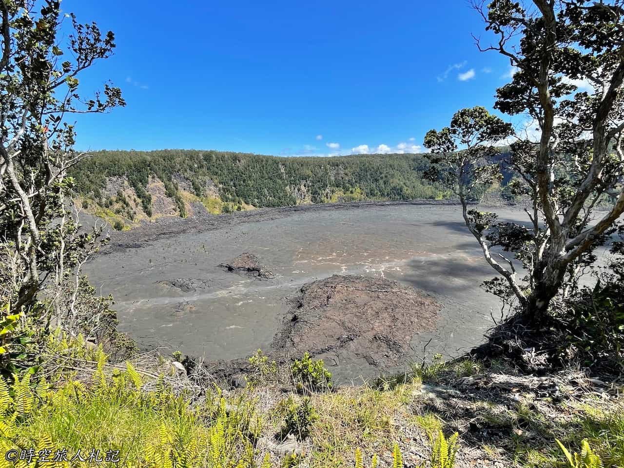
If you have enough time when visiting Hawaii Volcanoes National Park, I highly recommend taking a trip on the Kilauea Iki Trail. Parking spots are limited, and considering the hot weather in the volcanic area, the best time to visit is early in the morning. This trail loops around the Kilauea Iki Crater, with half of it along the crater's edge and the other half inside the crater. The entire loop is about 4 miles long, and on the return journey, you'll pass through the Thurston Lava Tube, taking approximately 2-3 hours.
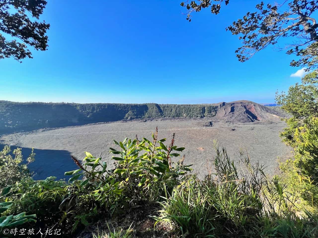
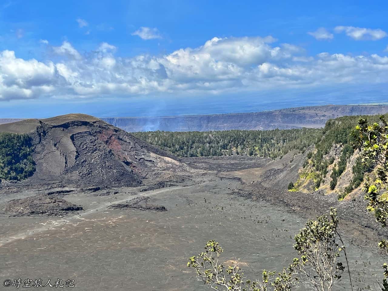
If you don't want to walk the entire length of the trail, you can take a short walk from the trailhead in the clockwise direction to reach the Kilauea Iki Overlook. From the overlook, you can have a direct view of the entire Kilauea Iki Crater. You'll be able to see the white trail in the middle, which indicates the latter part of the trail.
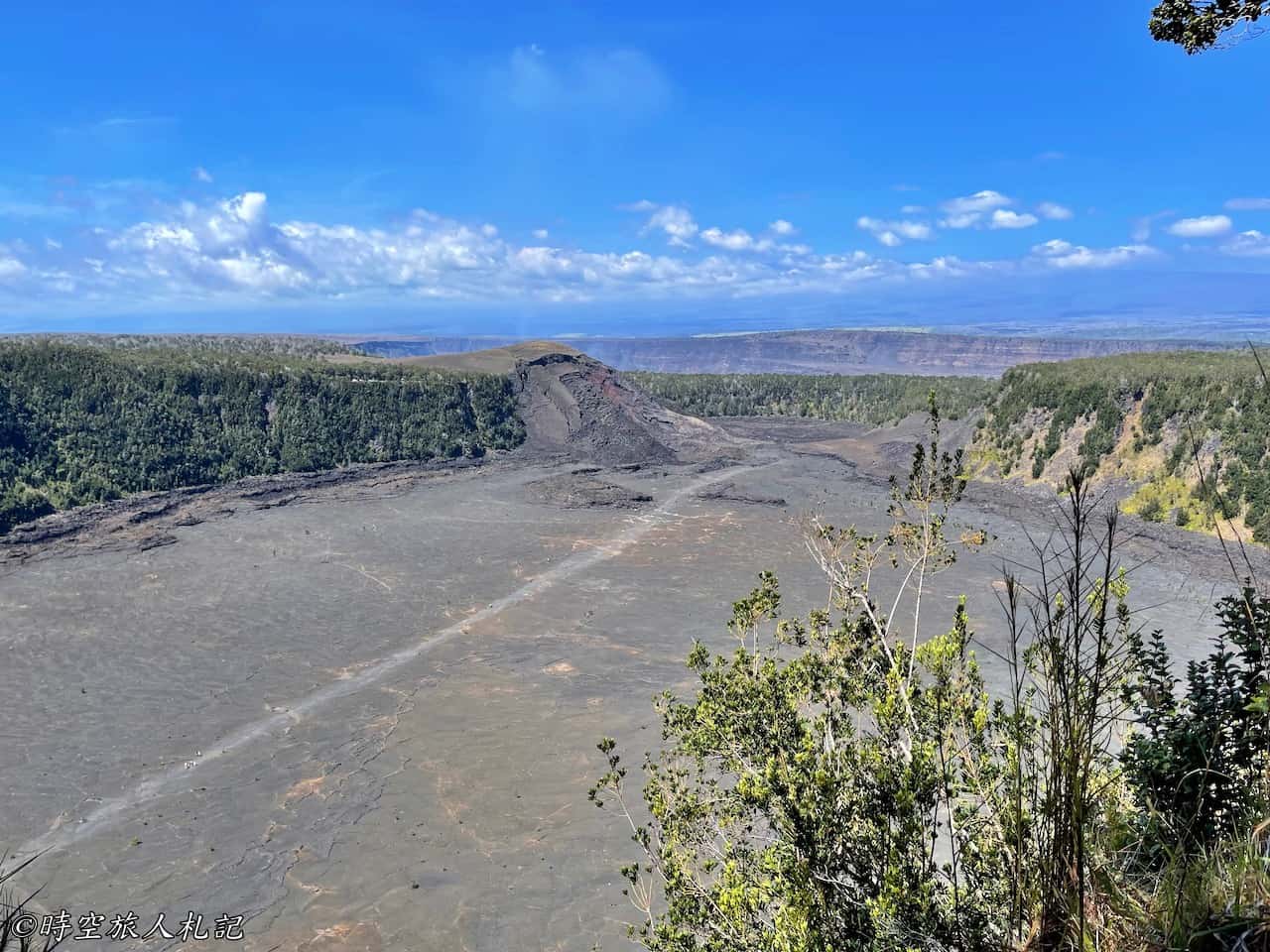
We started our hike from the trailhead parking lot and walked counterclockwise. Initially, we walked along the cliff edge, and as we reached a more open area, the Kilauea Iki Crater below became quite clear. For the rest of the first half of the trail, we mostly walked through the tropical rainforest.
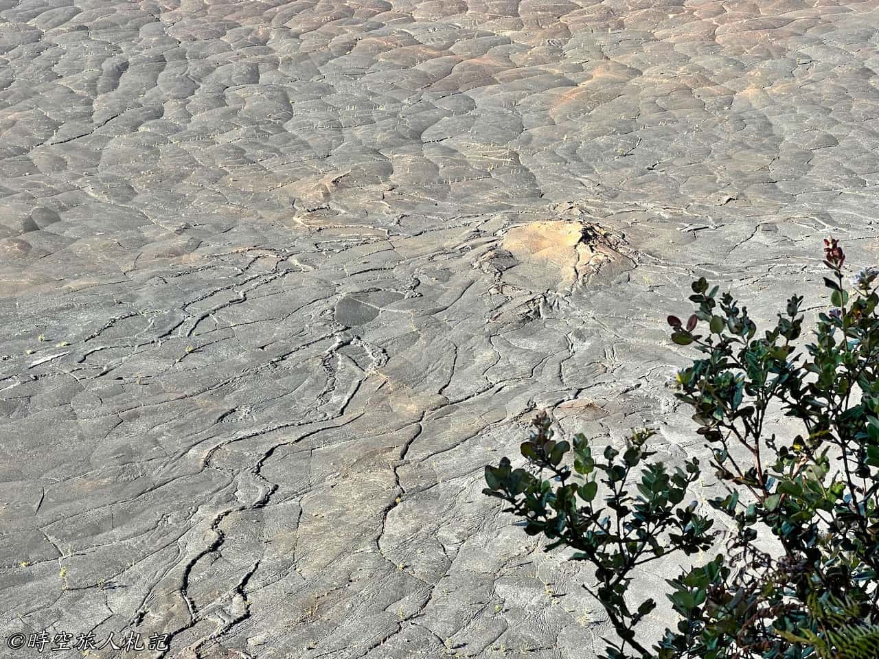
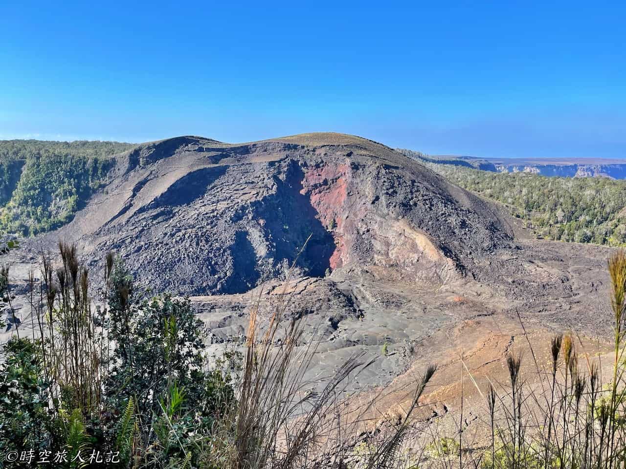
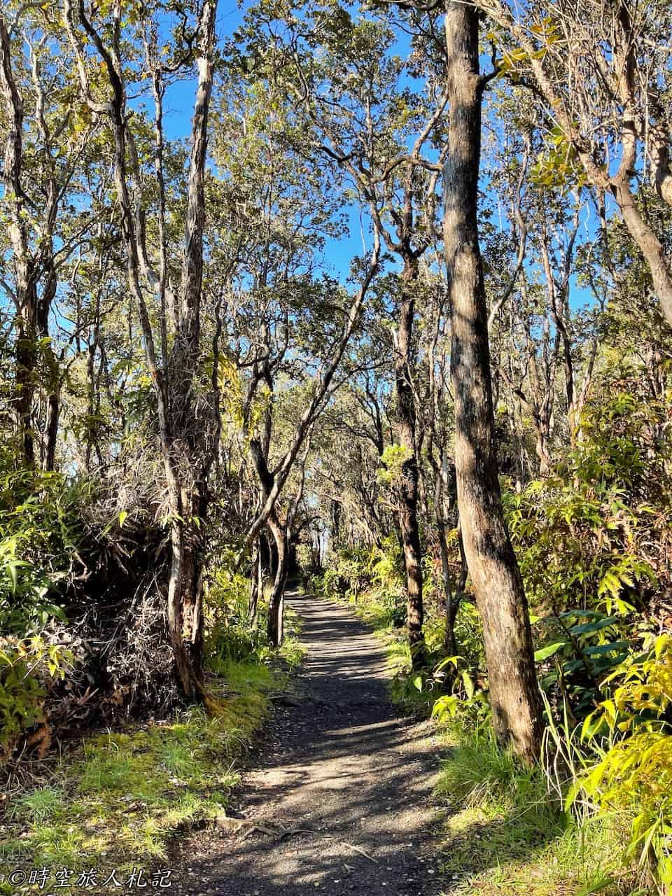
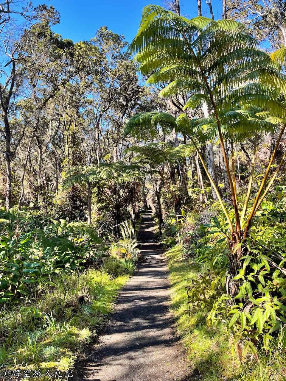
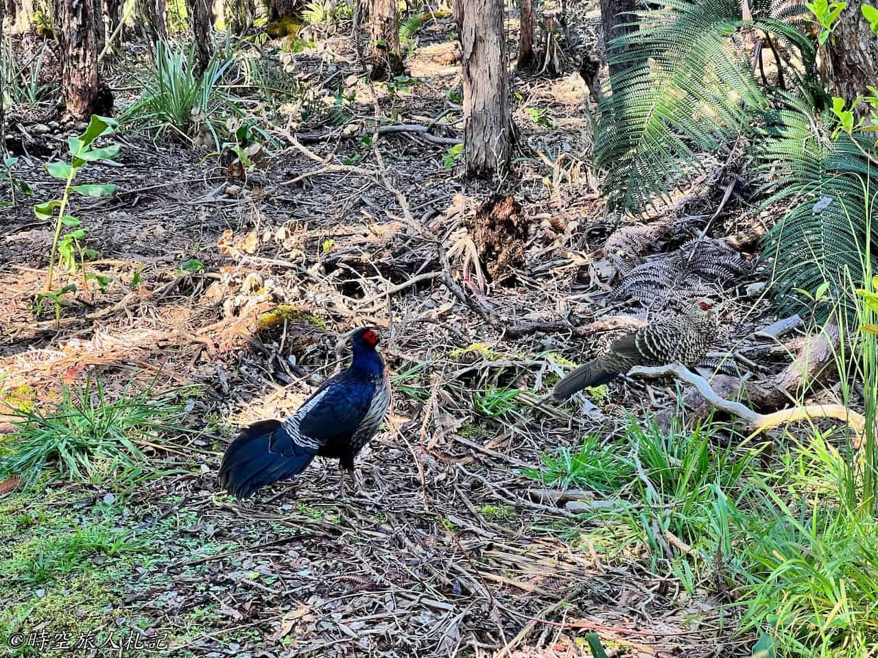
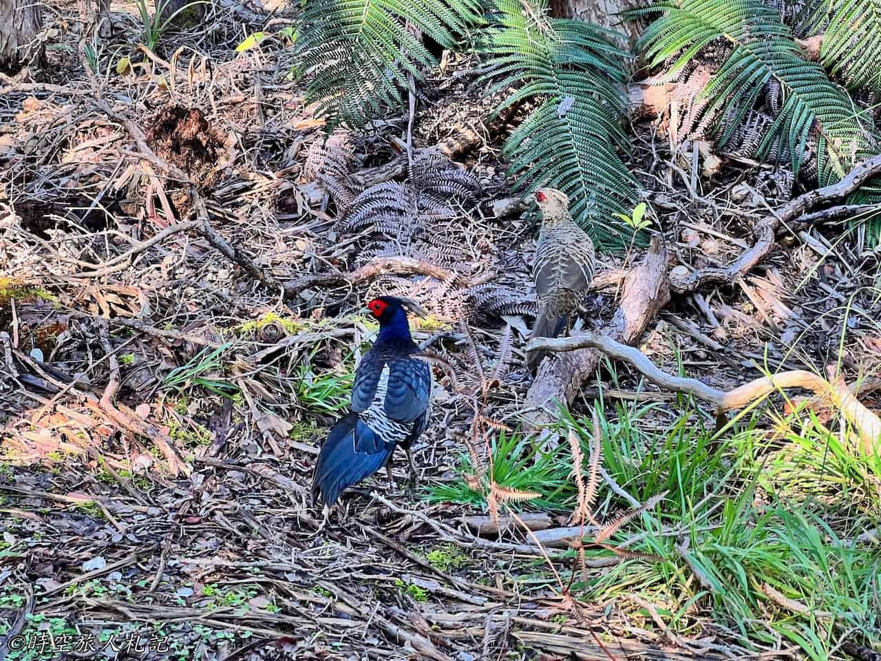
On the trail, we occasionally encountered native Hawaiian grouse.
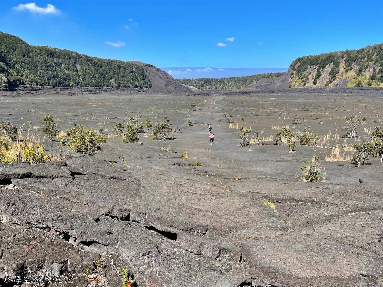
As we reached the other end of the crater, the trail began to gradually descend, approaching the bottom of the crater. It became apparent that the ground beneath our feet was indeed hardened lava, and as we descended further, there was a slight sensation of walking on soft mud. Ahead of us, we could see the trail cutting across the crater, marked by a white path. As we descended, we encountered some geological explanations along the way.
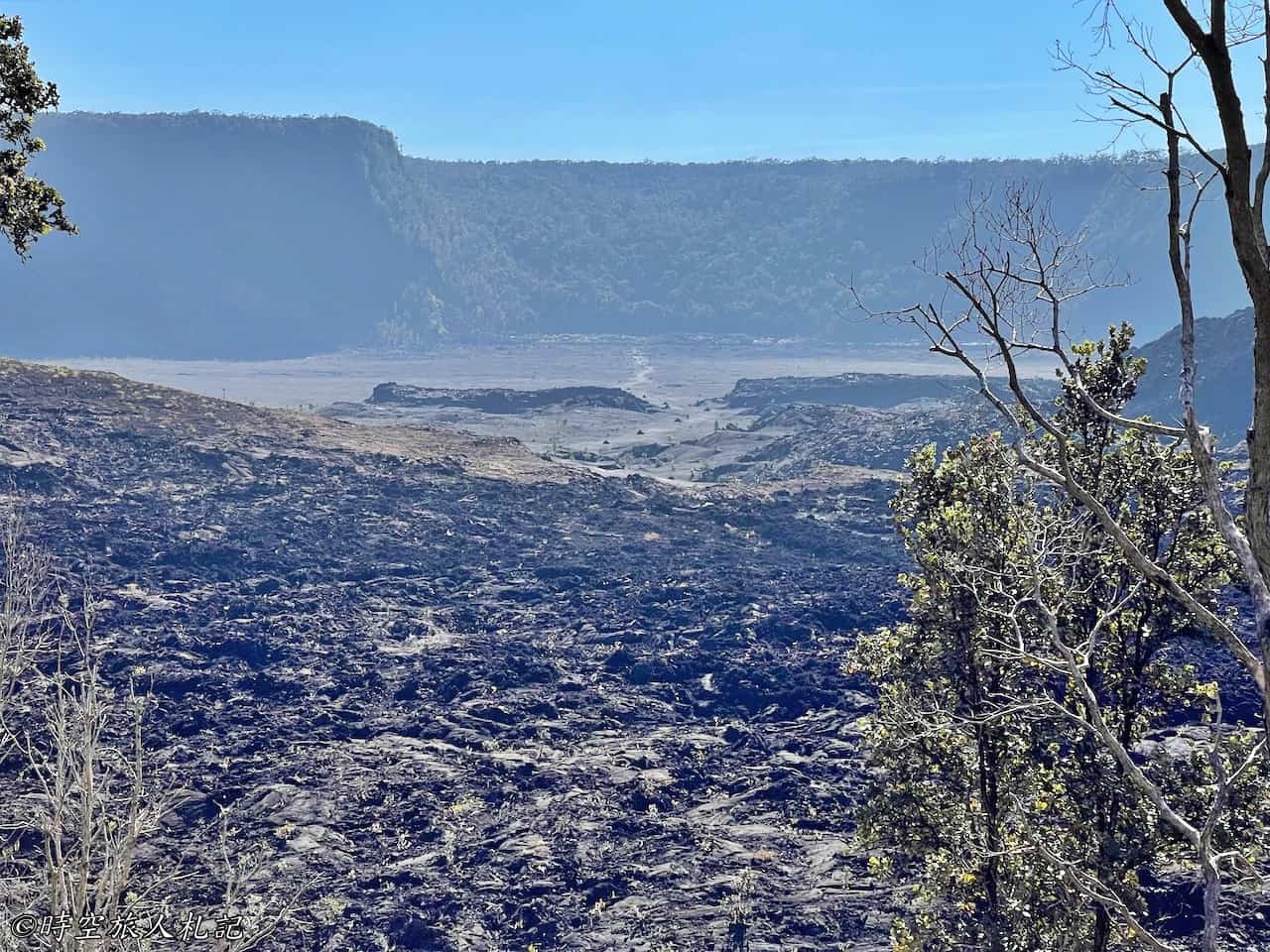
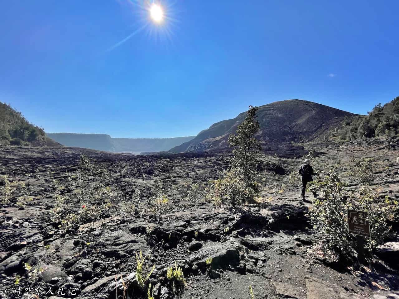
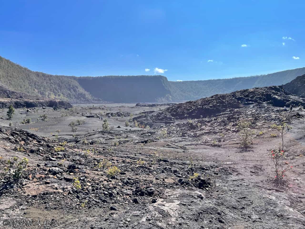
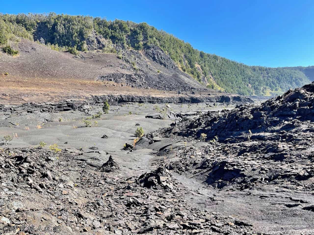
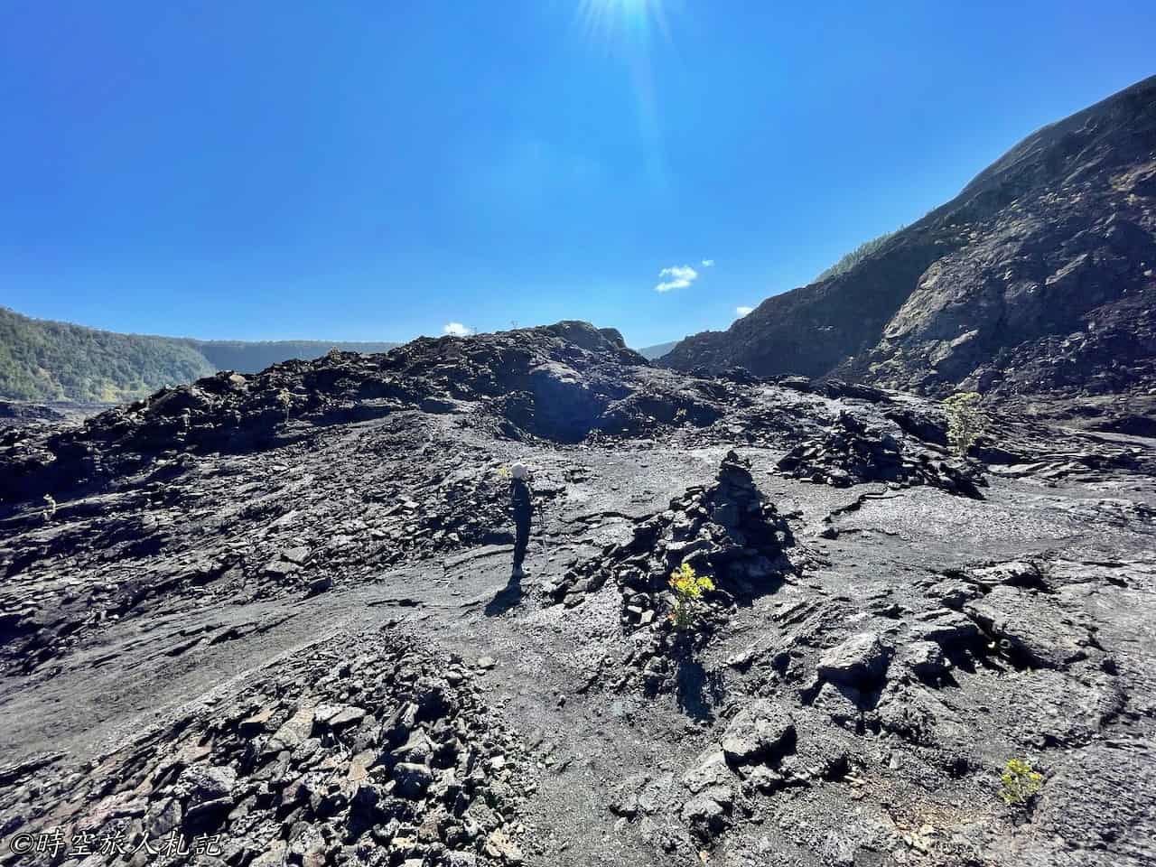
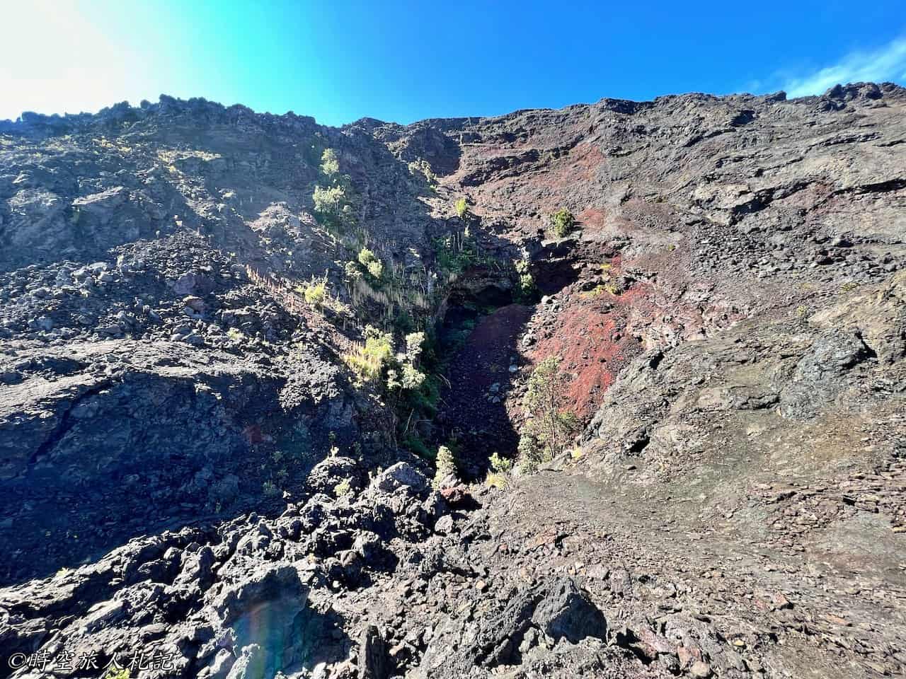
The past volcanic eruptions, which we could still see evidence of from here, resulted in the eruption of red soil from the ground. How high did the lava erupt back then? Taipei 101, standing at 509 meters, was surpassed by the eruption, which reached a height of 579 meters, taller than Taipei 101.
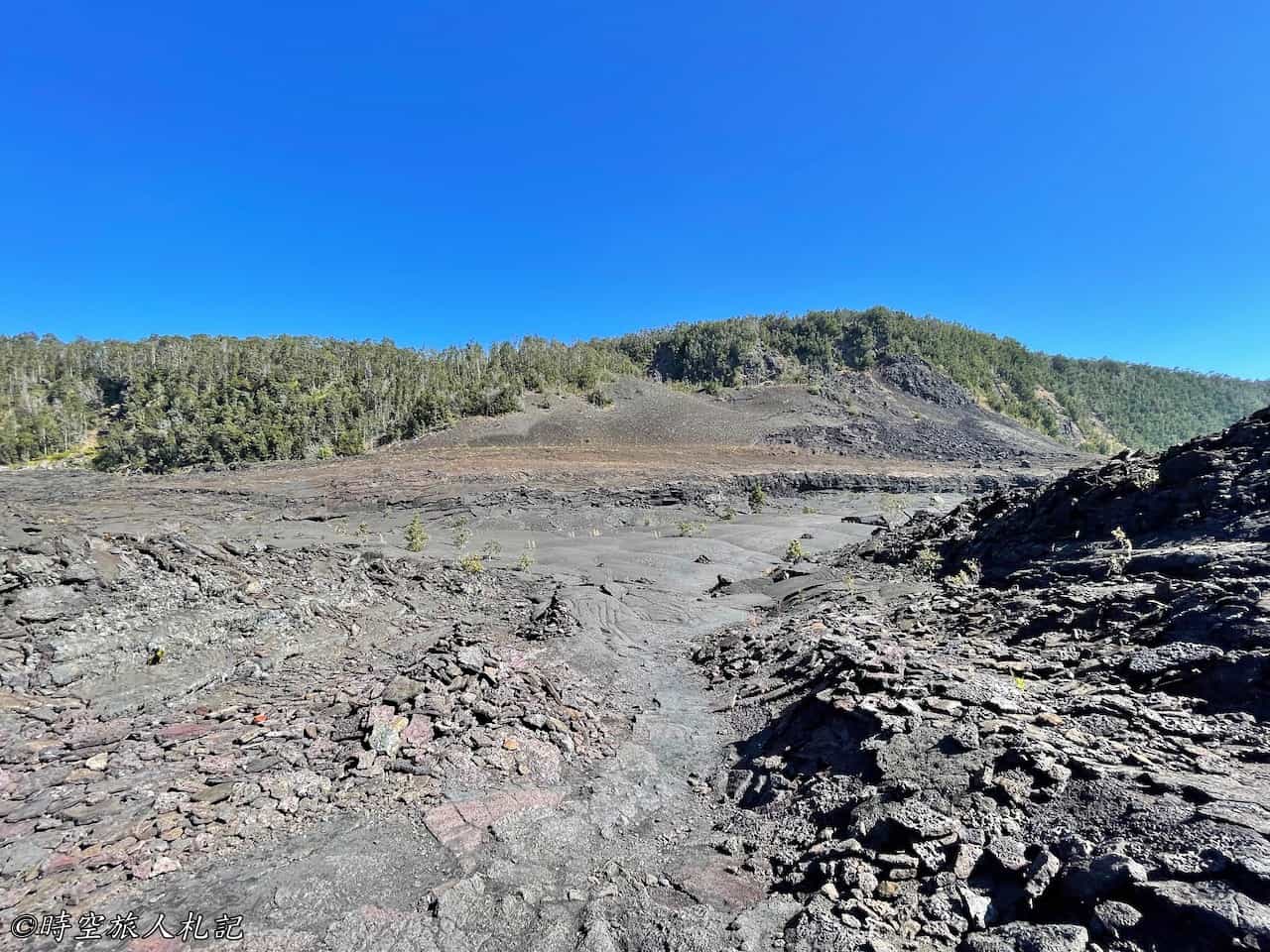
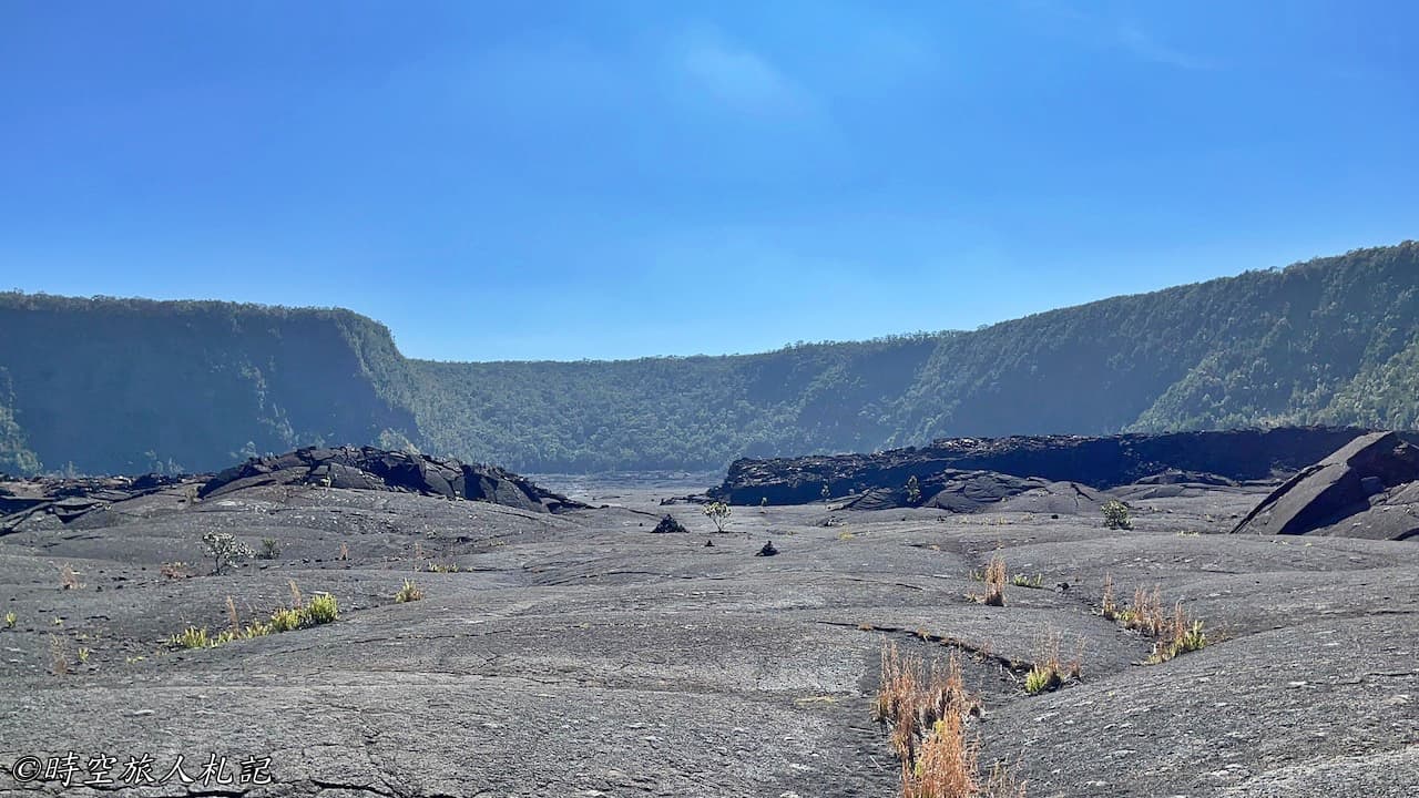
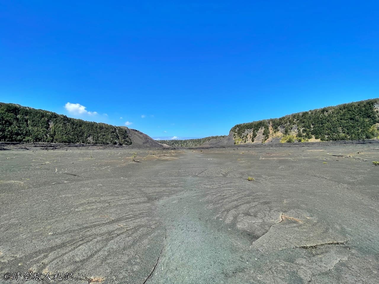
Further ahead is a vast expanse of lava bed. The lava bed in this area started hardening around the 1990s, gradually forming the impressive landscape we see today. Previously, it might have been a lava lake. It's quite fascinating to see plants managing to grow amidst the rocky crevices, showcasing nature's resilience.
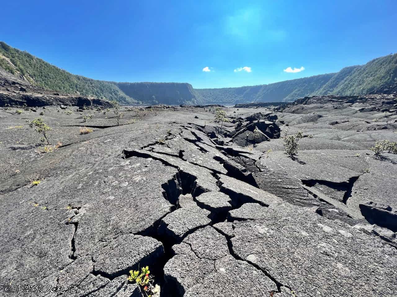
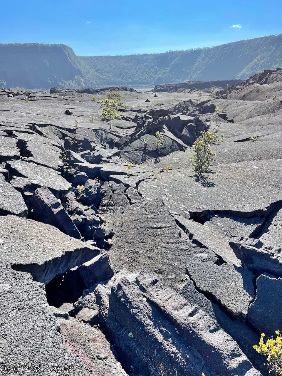
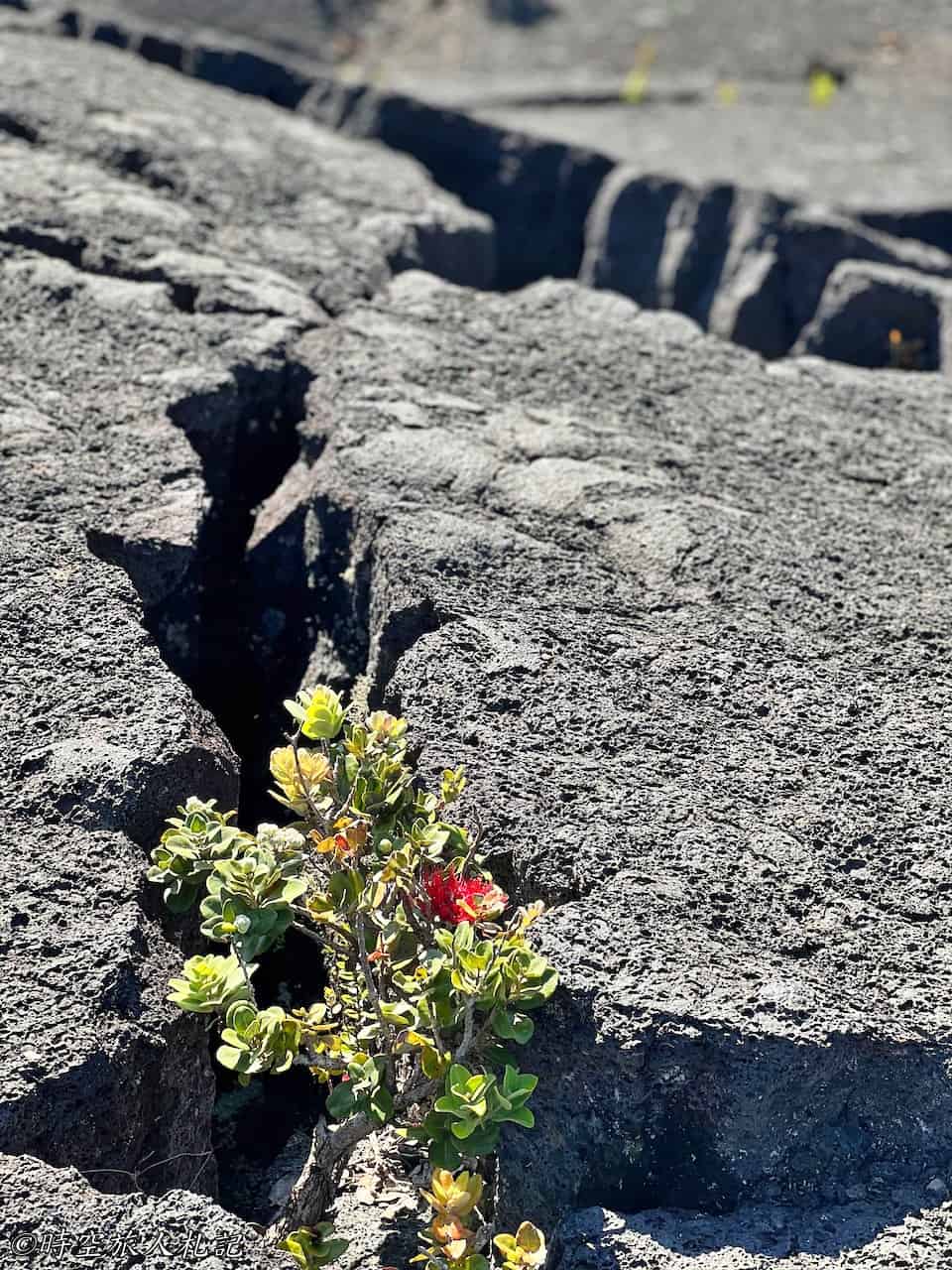
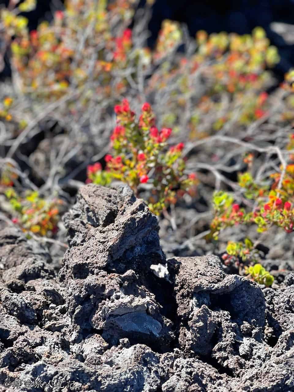
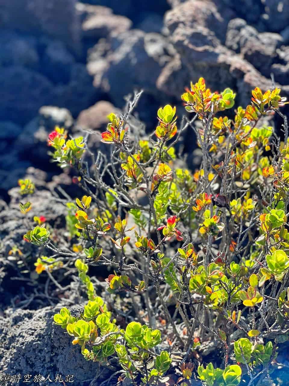
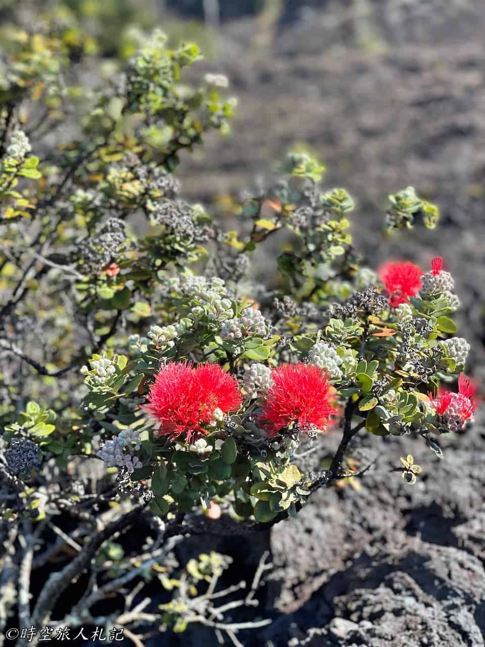
After traversing the entire crater, it's awe-inspiring to turn around and take in the view of this magnificent expanse of lava.

Thurstan Lava Tube
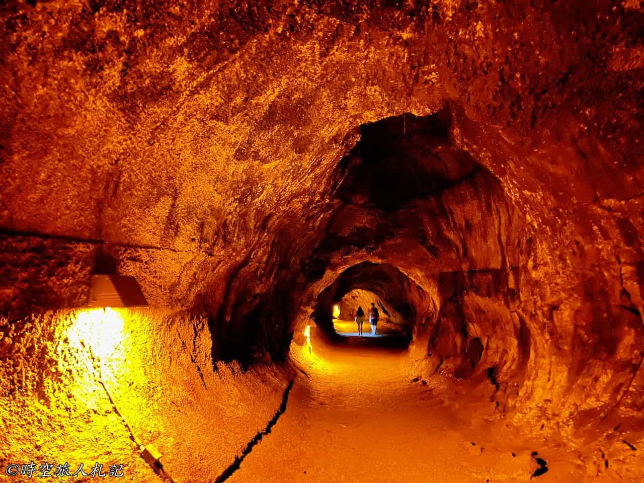
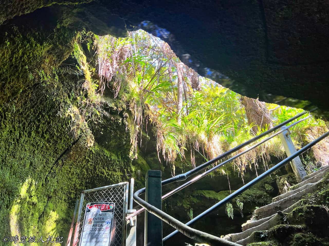
The Thurston Lava Tube can be accessed from the Kilauea Iki trail, and before entering the lava tube, there is a one-way rainforest trail outside. This is a rather large lava tube, formed by the flow of magma, and was discovered in 1913 by a businessman named Thurston, hence the name. The formation principle of lava tubes is due to the rapid cooling of the surface when the liquid magma flows, forming a solid shell. This outer shell acts as insulation, maintaining the temperature inside the passage, allowing magma to flow within. If the magma supply ceases, the internal magma will continue to flow downward, leaving only an empty tunnel in the end. This tunnel is quite large, and even a group of people walking inside it doesn't feel crowded. Imagining the flowing magma inside in the past is quite astonishing.

Pu'u pua'i Overlook
Puʻu Puaʻi is a highland located above the Kiluea Iki Crater. While hiking along the Kilauea Iki trail, you can see the red-soiled volcanic vent below, and Puʻu Puaʻi is situated above it. In this area, besides getting a different perspective of the Kilauea Iki crater, you can also access several other trails, including the entrance to the Devastation Trail. Once you pass this point, you are almost entering the range of the Chain of Craters Road.
Nighttime Magma Watching
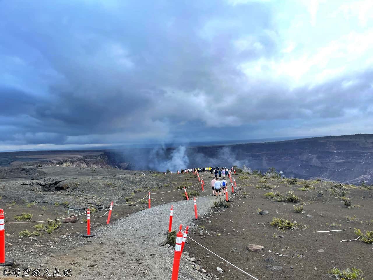
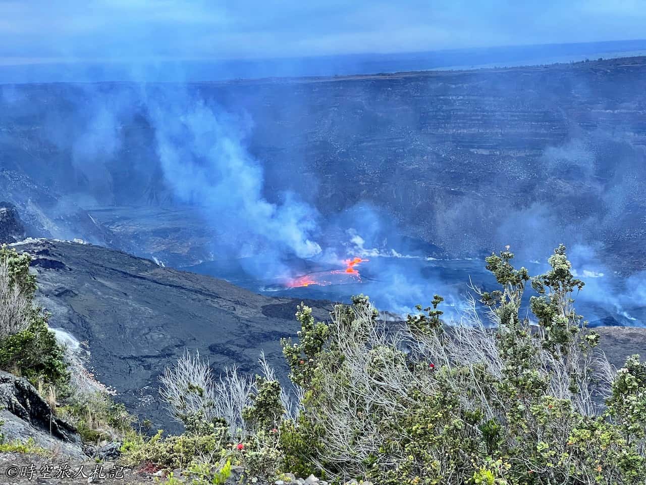
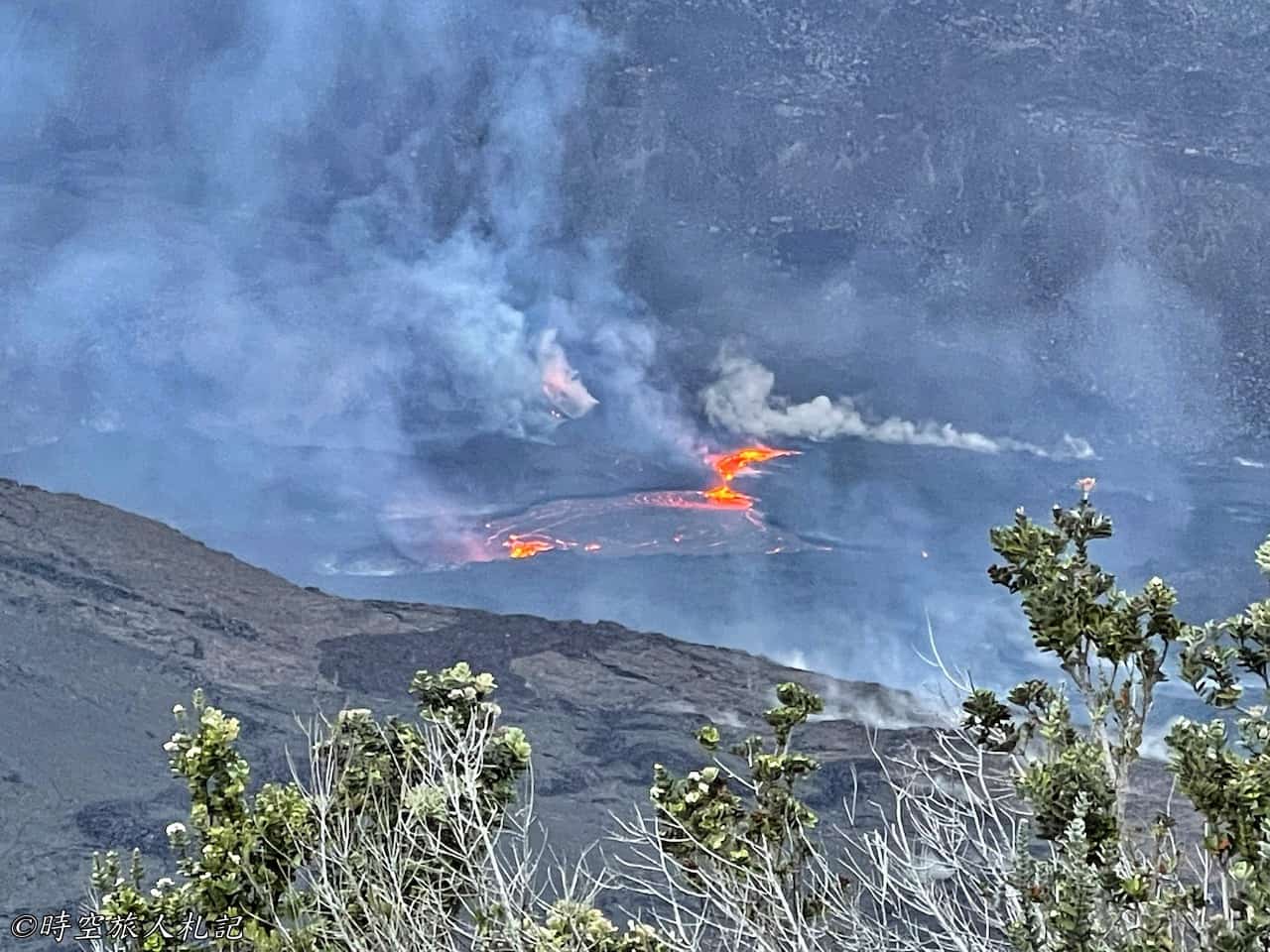
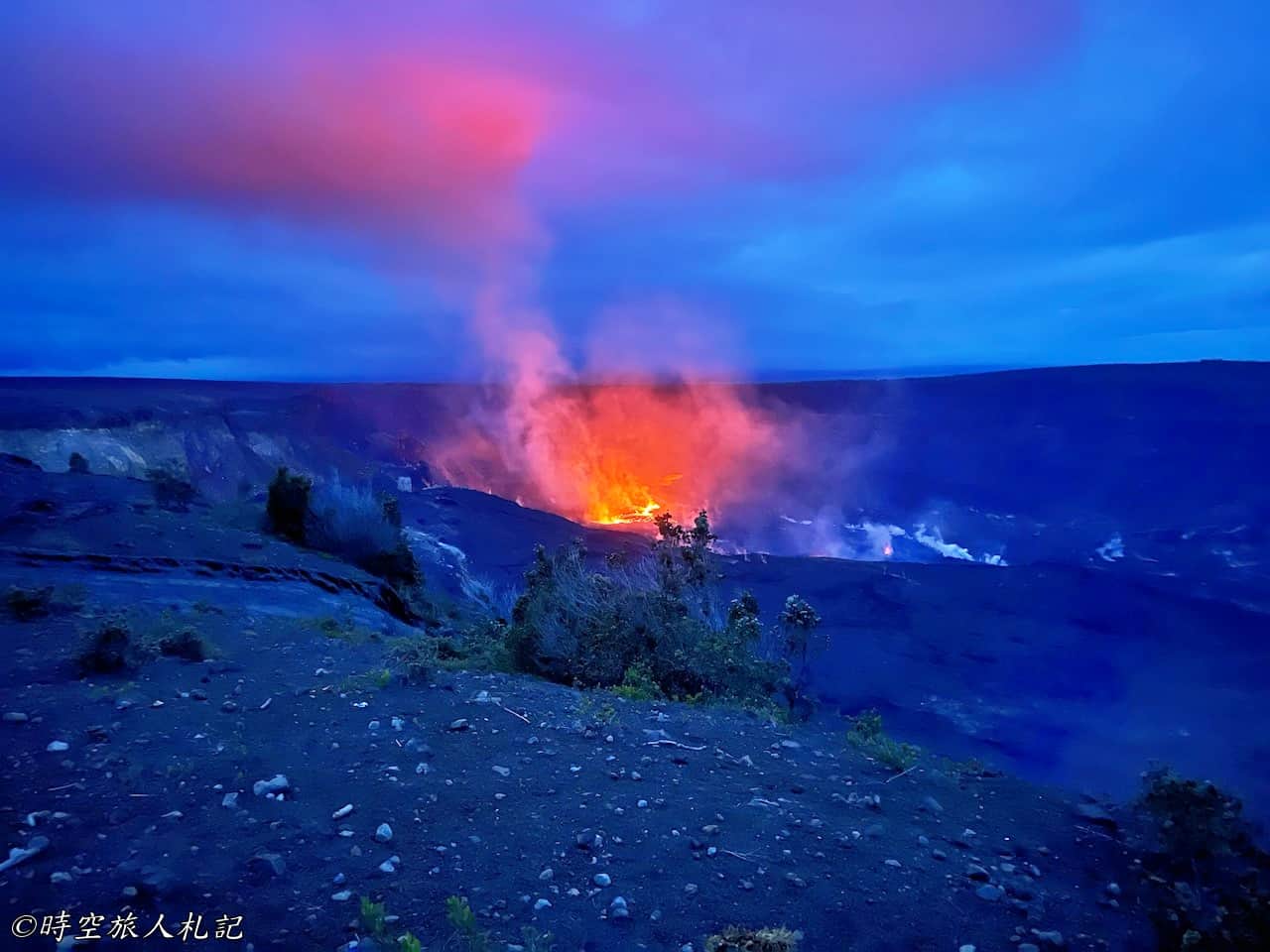
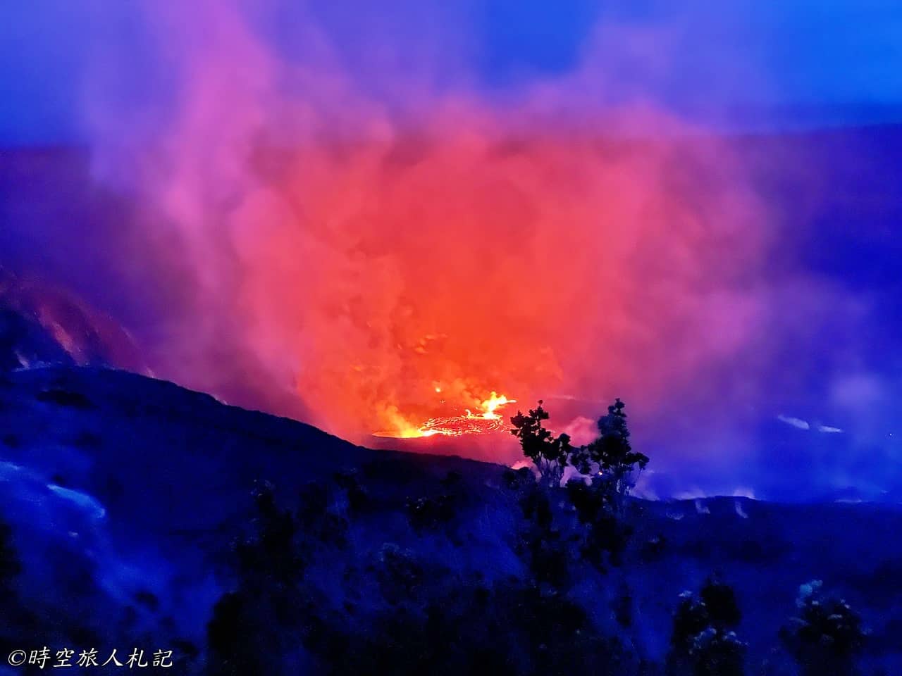
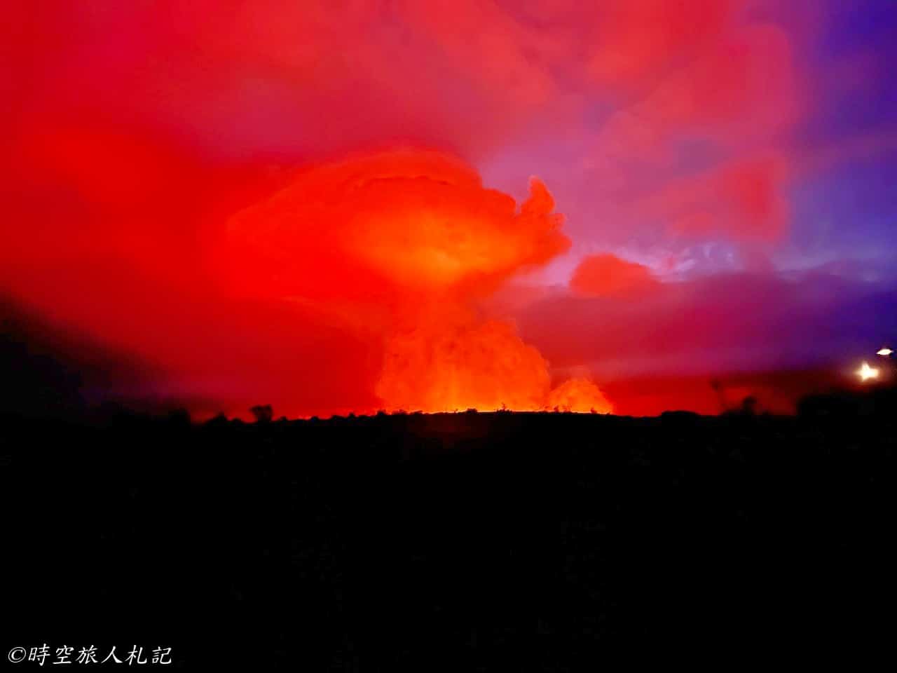
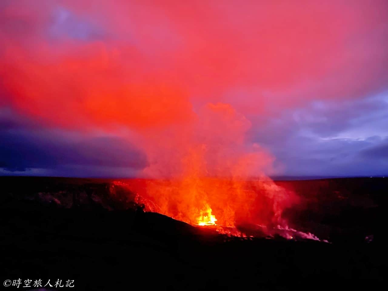
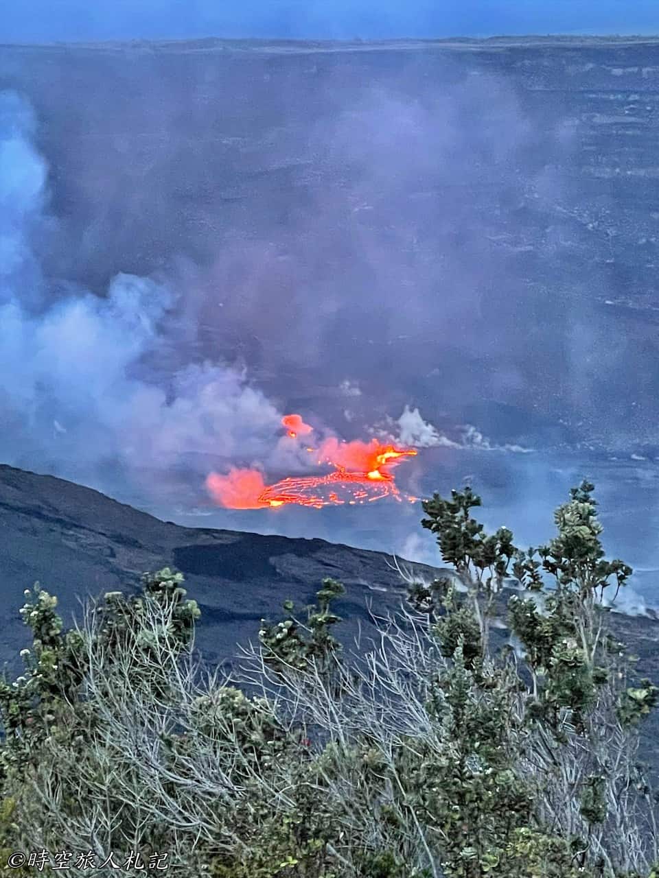
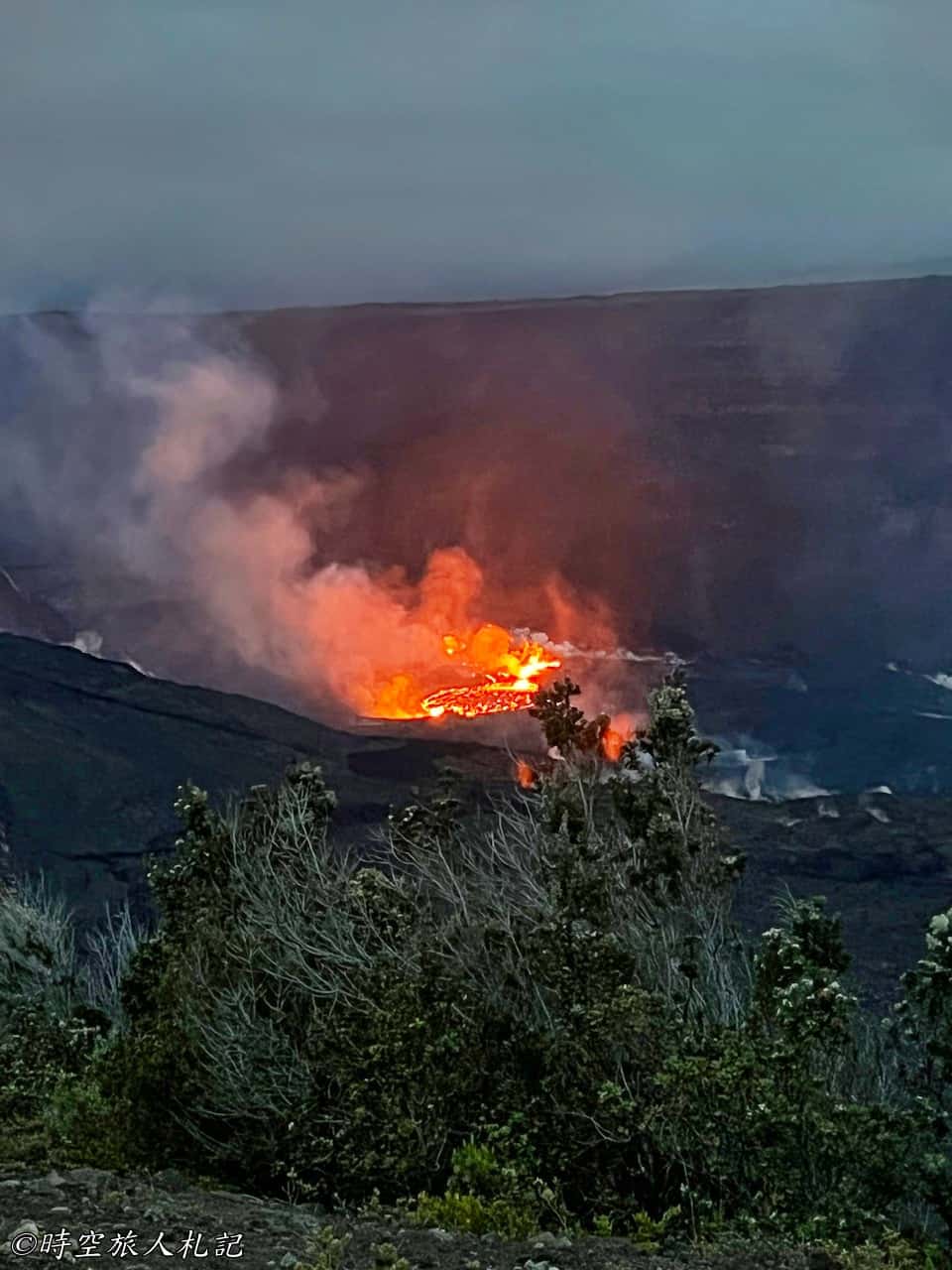
When we come back in the evening to observe the lava, we start from the Puʻu Puaʻi parking lot and walk along the Old Crater Rim Road for 1.5 miles to reach the observation point. The observation point may vary depending on the volcanic activity and its intensity. Although it requires walking a considerable distance, witnessing a volcanic eruption is a rare and fascinating experience.
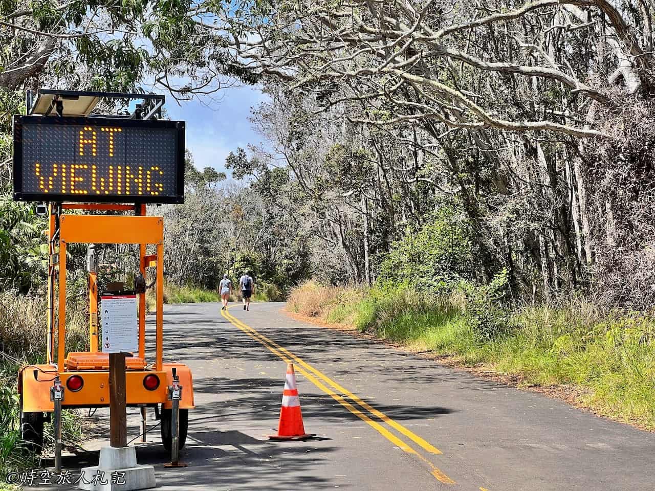
Before sunset, we reached our destination, where the park authorities had set up a temporary observation area. Actually, the level of volcanic activity can be somewhat anticipated from a distance. If we see a large amount of smoke, it indicates significant lava activity for the day. We watched the sunset from here, and the volcanic activity became increasingly apparent as the evening progressed. Occasionally, we could even see small eruptions of lava.
Chain of Craters Road
Chain of Craters Road is a scenic roadway that extends 19 miles south and was first established in 1928. It is called Chain of Craters because the road is literally full of craters, which are pit craters, usually occurring in bunches as the earth becomes hollow and sinks downward. The old Chain of Craters road was destroyed by the Maunaulu eruption in 1969, and the magma was active here until 1974, creating the series of magma ruins we see today, which you can see on the National Parks website if you are interested.Photographs of the eruption at that timeThe Chain of Craters Road we are now traveling on was reconstructed and opened in 1979. The Chain of Craters Road, which we are now traveling on, was reconstructed and opened in 1979. Driving down the road, you can get a very clear picture of how this large area of magma flowed at that time and how extensive it was. Most of the sightseeing spots are at the roadside viewpoints, and it takes almost half a day to drive through.
Luamanu
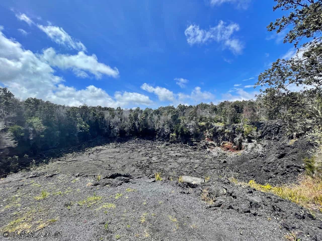
This is the first crater we encountered after entering the Chain of craters road. In 1974, due to volcanic activity, this crater was also filled with magma and turned into a magma lake. The magma has since drained away, but we can still see the high points of the lake here.
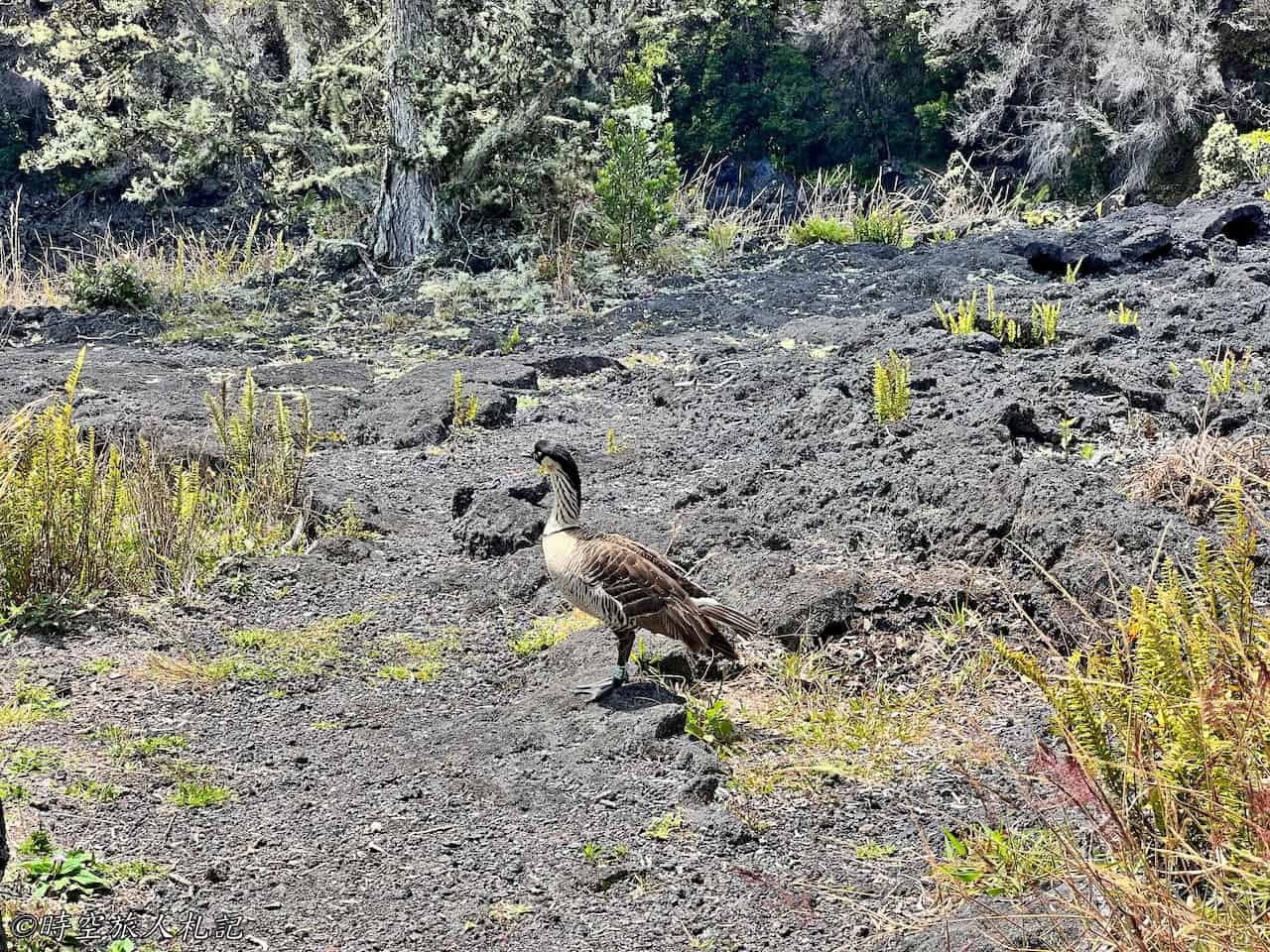
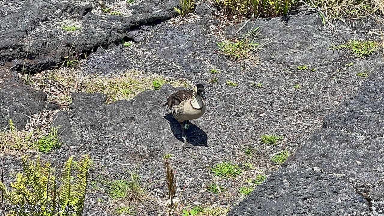
We also saw several Hawaiian geese here, known locally as Nene.

Puhimau Crater
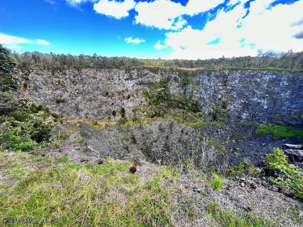
"Puhimau" means "forever smoking," because this crater actually has a small steam vent, located in the area with more green vegetation on the far wall in the photo, which continues to emit smoke to this day.
Pauahi Crater
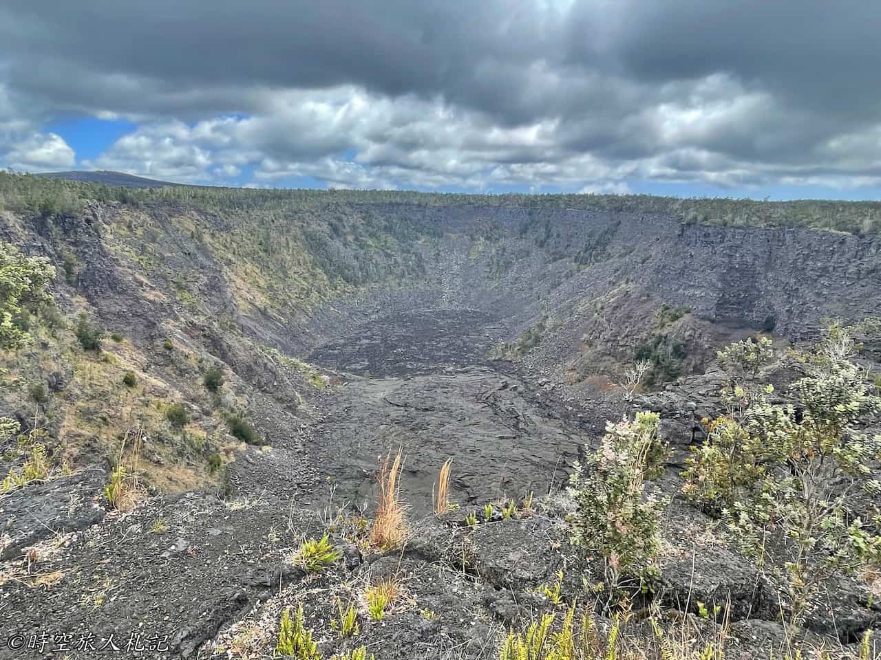
Pauahi crater is a triple pit crater, meaning it has experienced three eruptions, which occurred in May 1973, November 1973, and 1979. It is said that in 1973, a lava vortex was formed, as seen in this photo, but now only cooled lava remains. This area is also considered sacred by the local indigenous people, so you may occasionally see some religious decorations along the trail.
Mauna Ulu Eruption Trail
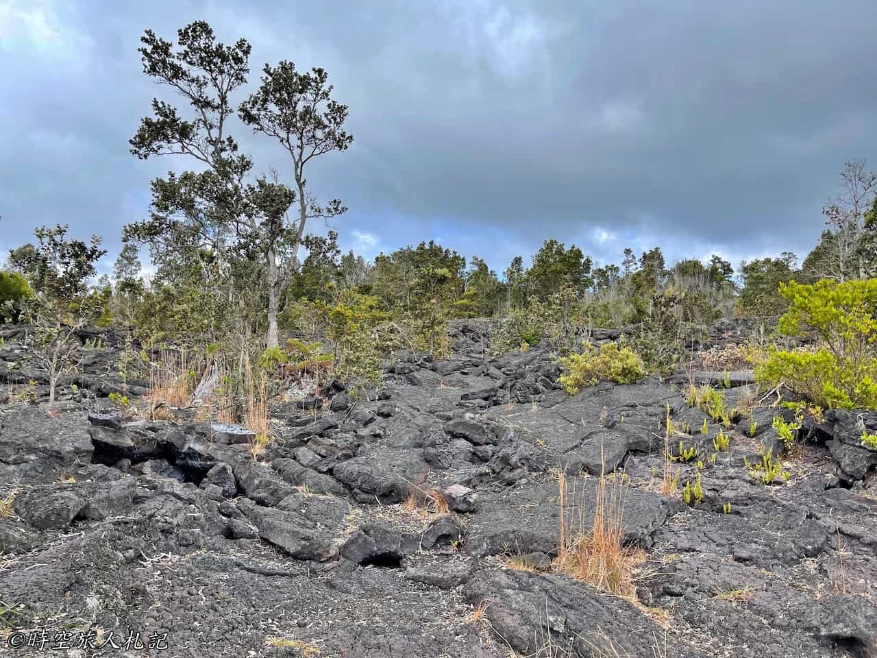
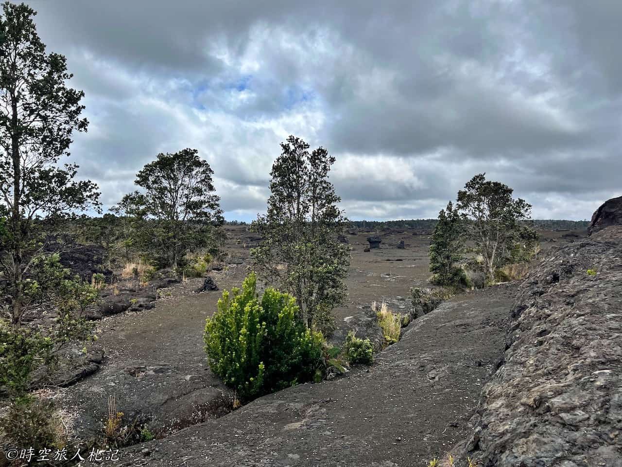
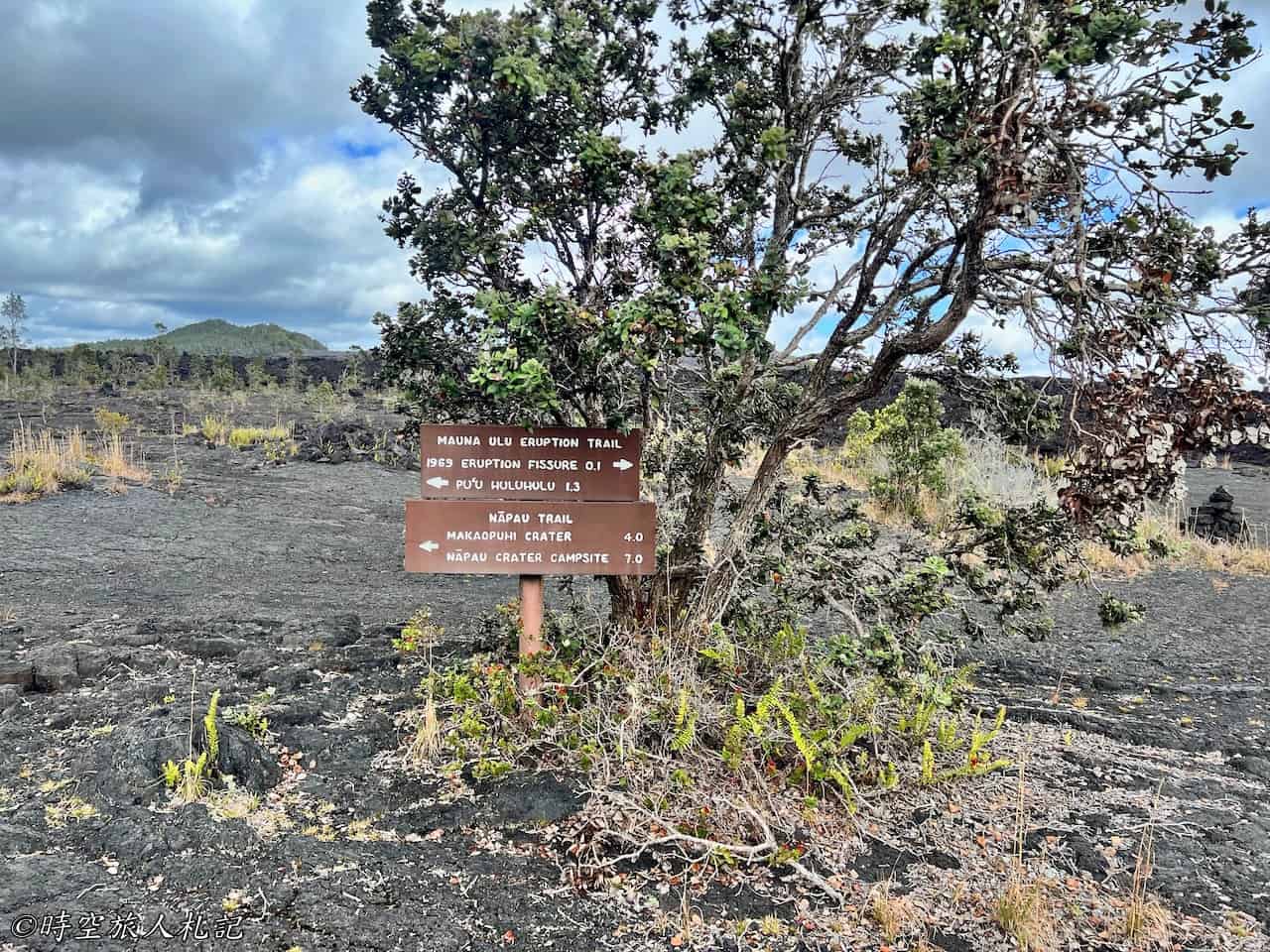
At the Napau trailhead, there are several different trails. Originally, we intended to hike the 1.3-mile trail to Pu’u huluhulu. However, due to limited time, we opted for the nearby Mauna Ulu Eruption trail, which forms a smaller loop, to explore the remnants of the 1969 eruption. Unlike the terrain of Kiluea Iki Crater, this trail felt quite different. While still walking on lava rock, here the vegetation had become quite dense.
Mau Loa o Maunaulu
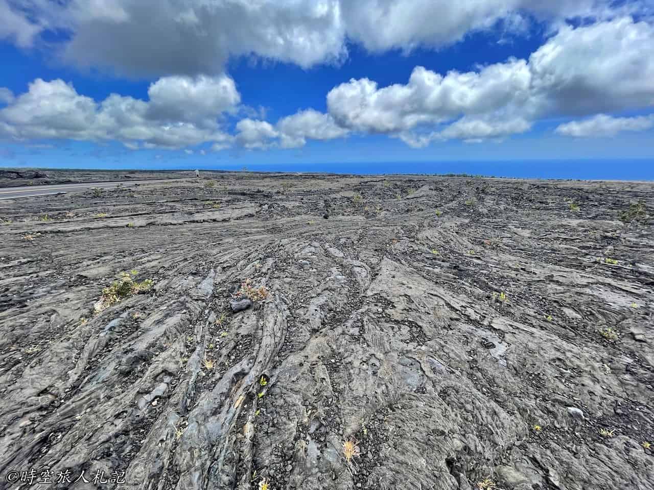
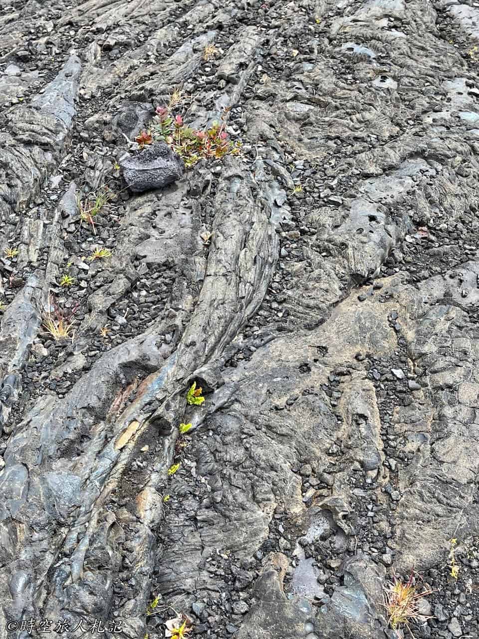
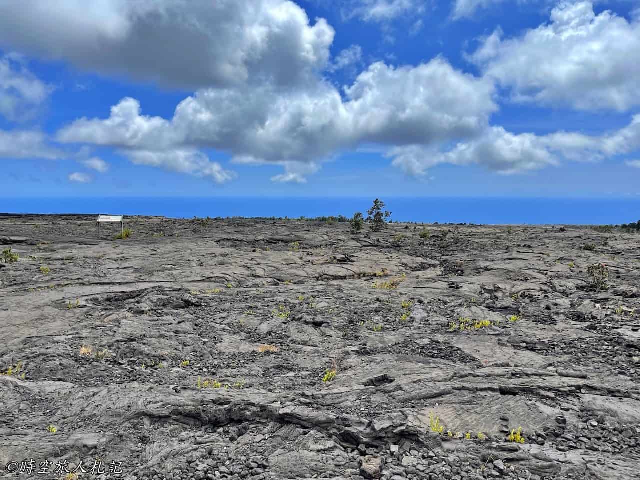
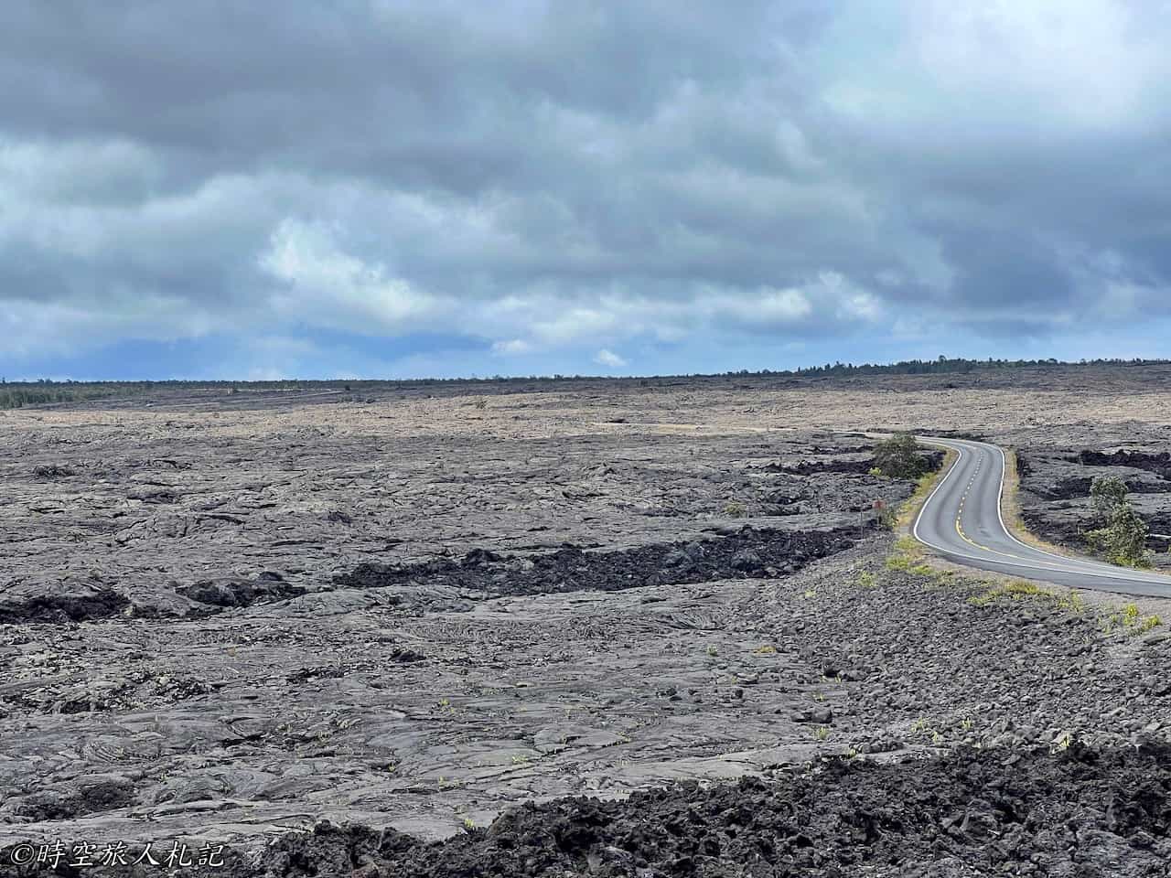
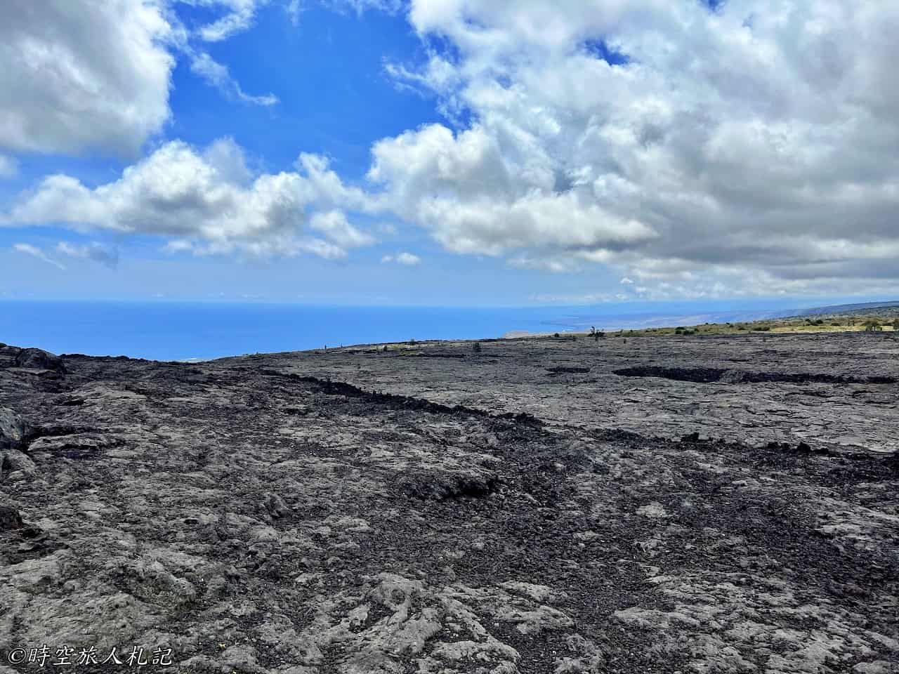
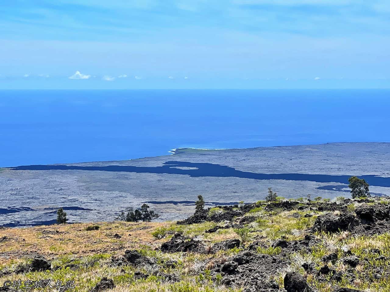
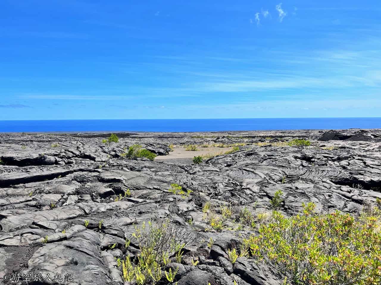
This is the starting point of the Keauhou trail, and by the time you arrive here, you can already see the ocean. It's worth stopping at the Keauhou trailhead. You might find it odd that you don't see a trail at the trailhead; this trail is a backcountry trail, meaning it goes straight through this lava field all the way to the ocean, ending at a backcountry campsite by the beach. Before 1969, there were two small craters here, but the volcanic eruption changed the landscape, and what you see here is the famous 1969-74 lava flow. The Chain of Craters Road we're driving on now traverses this vast expanse of lava, and we'll continue to see its remnants along the way. Standing here, you can imagine the spectacle of "lava flowing into the sea."
Kealakomo Overlook
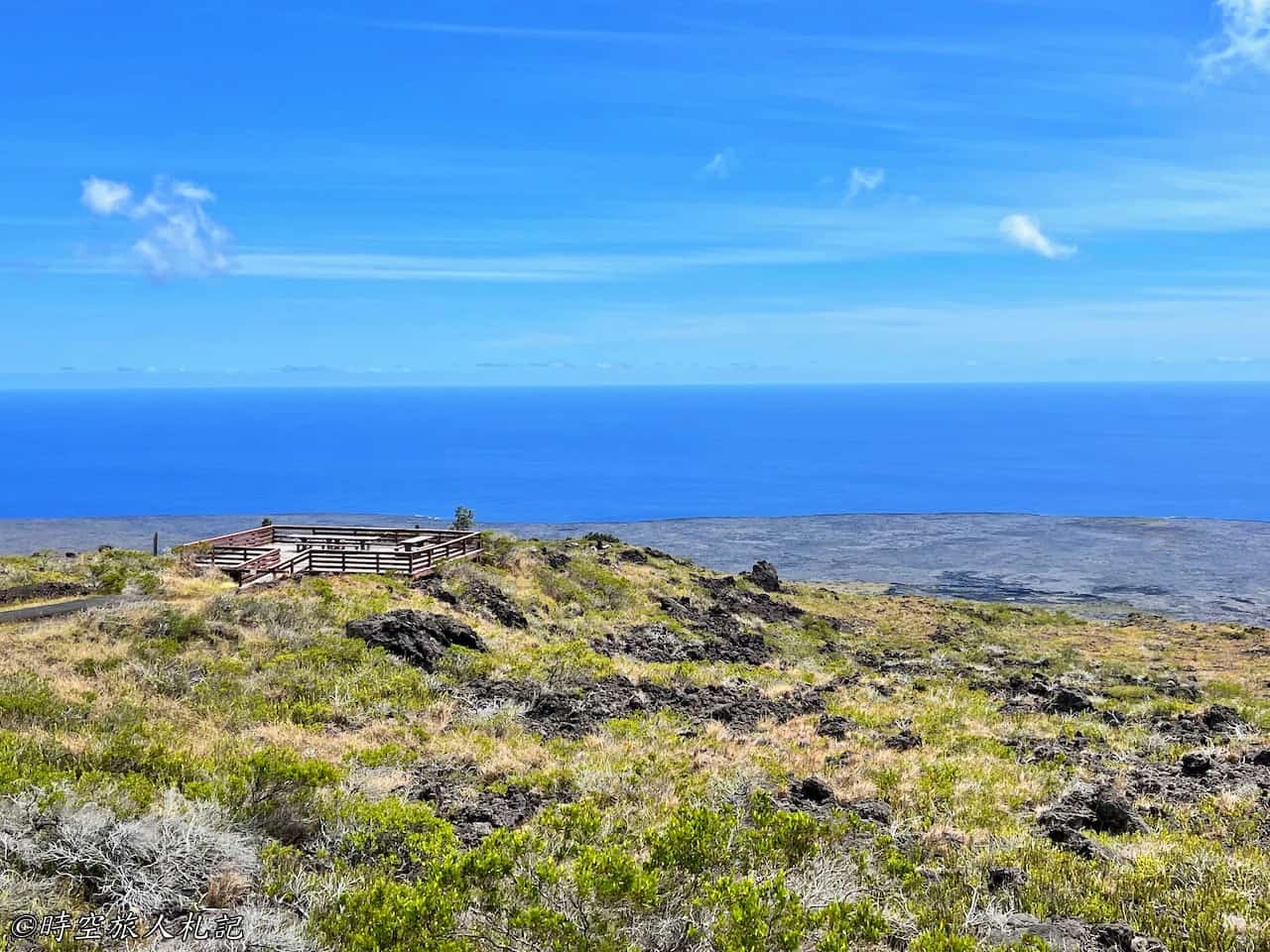
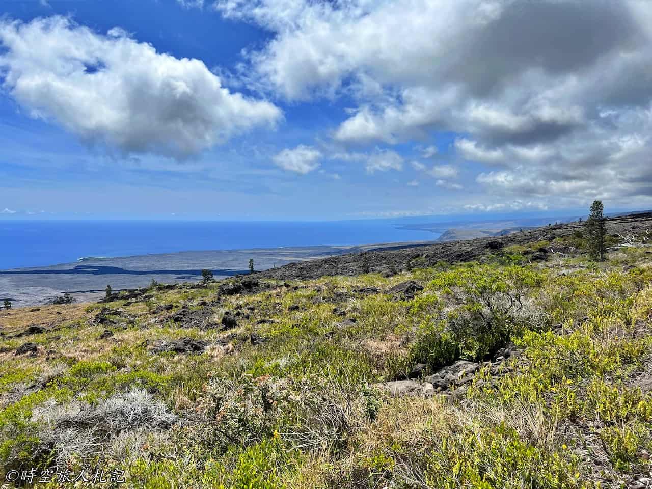
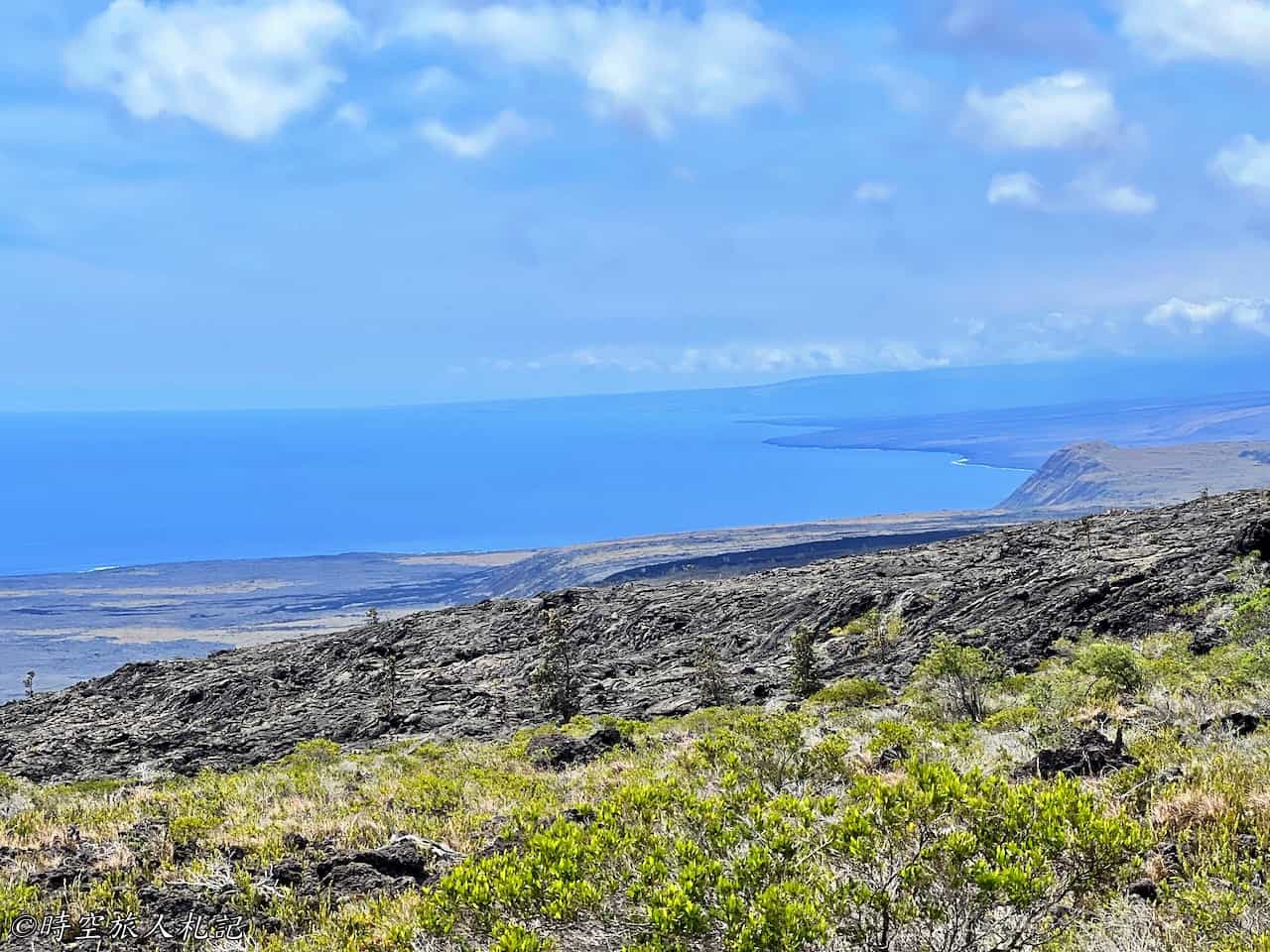
As we continue along the lava towards the ocean, the scenery becomes increasingly stunning. The Kealakomo Overlook is a famous viewpoint, offering a different perspective of the vast expanse of lava flowing into the sea. Here, you can contemplate the simultaneous creation and destruction wrought by the volcano: the lava from 1969 created 210 acres of new land, yet beneath our feet lies a deserted fishing village that was completely engulfed by the lava, leaving no trace behind.
Alanui Kahiko (Old chain of craters road ruins)
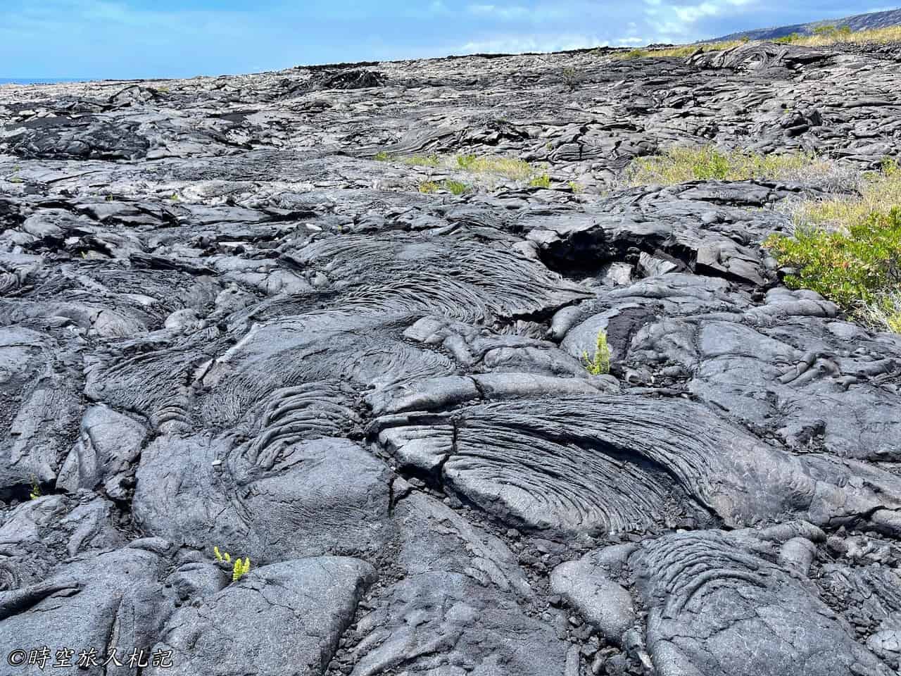
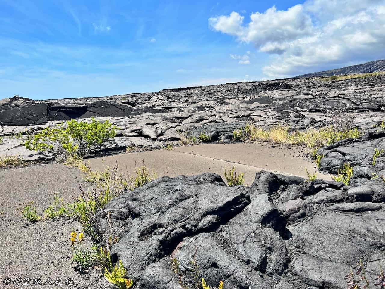
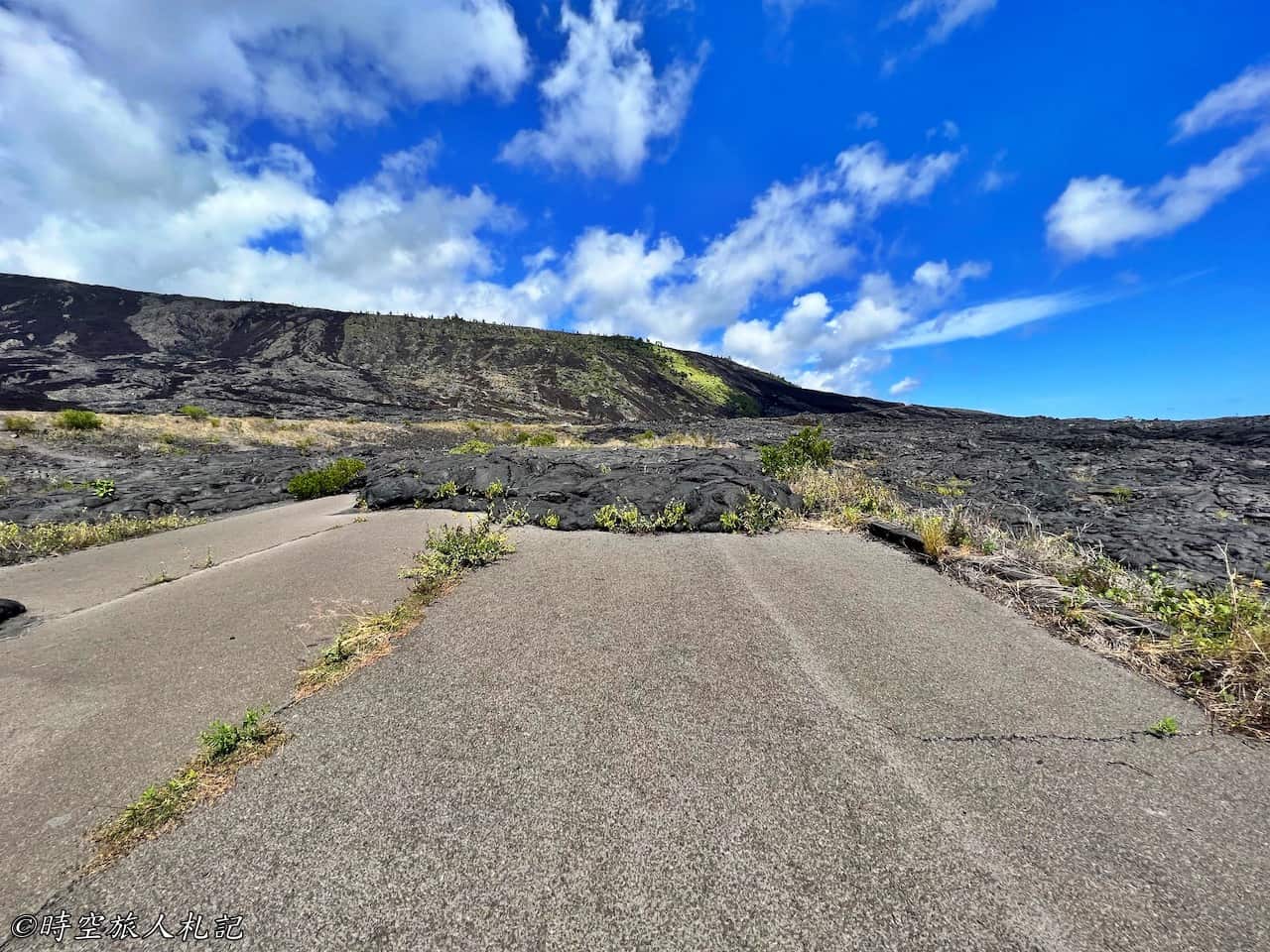
At Alanui Kahiko, if you descend about 100 feet, you'll come across a small section of the old Chain of Craters Road that has been completely covered by lava flow. Looking back up, what was once a cliff has now been transformed into a gentle slope by the cascading lava.
Puʻuloa Petroglyphs
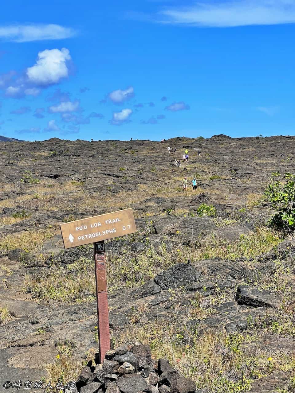
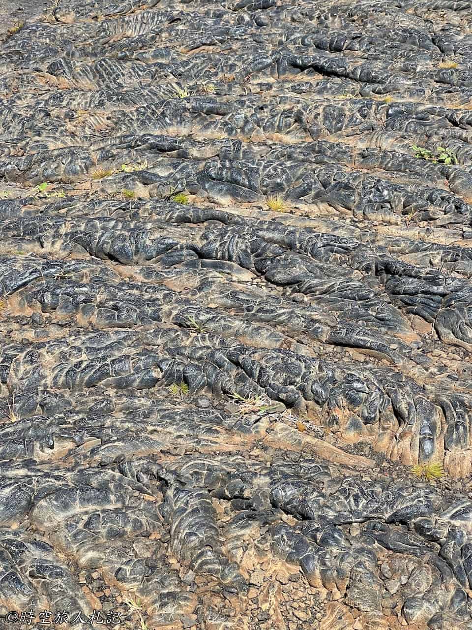
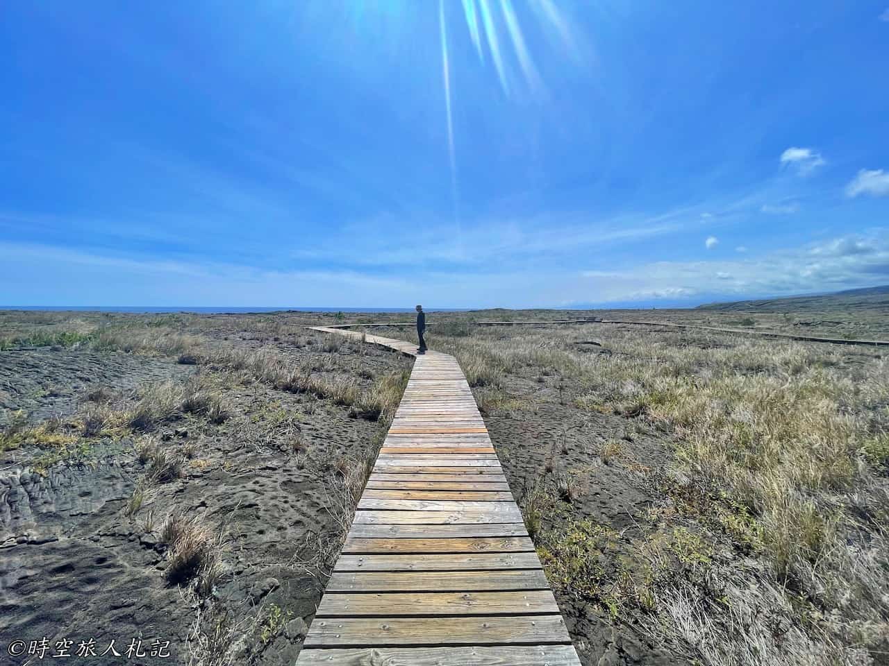
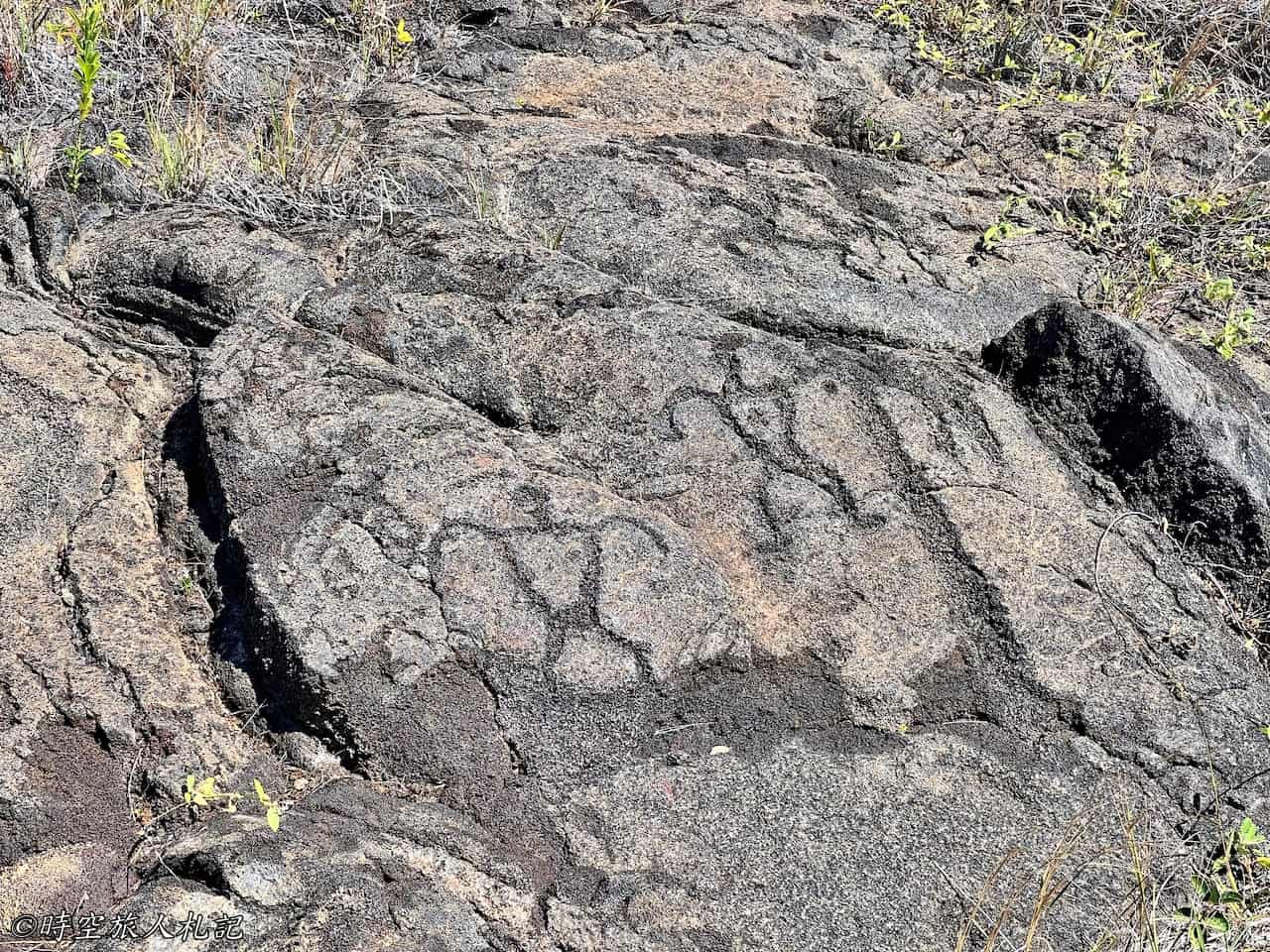
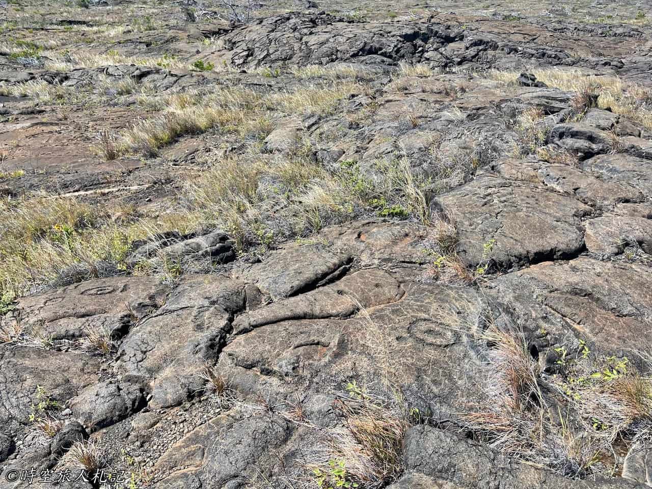
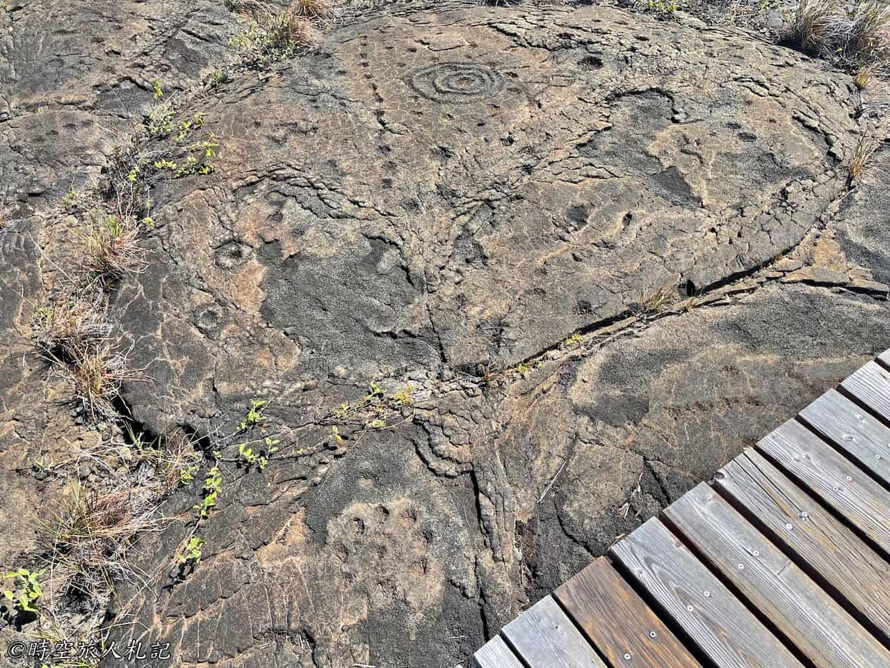
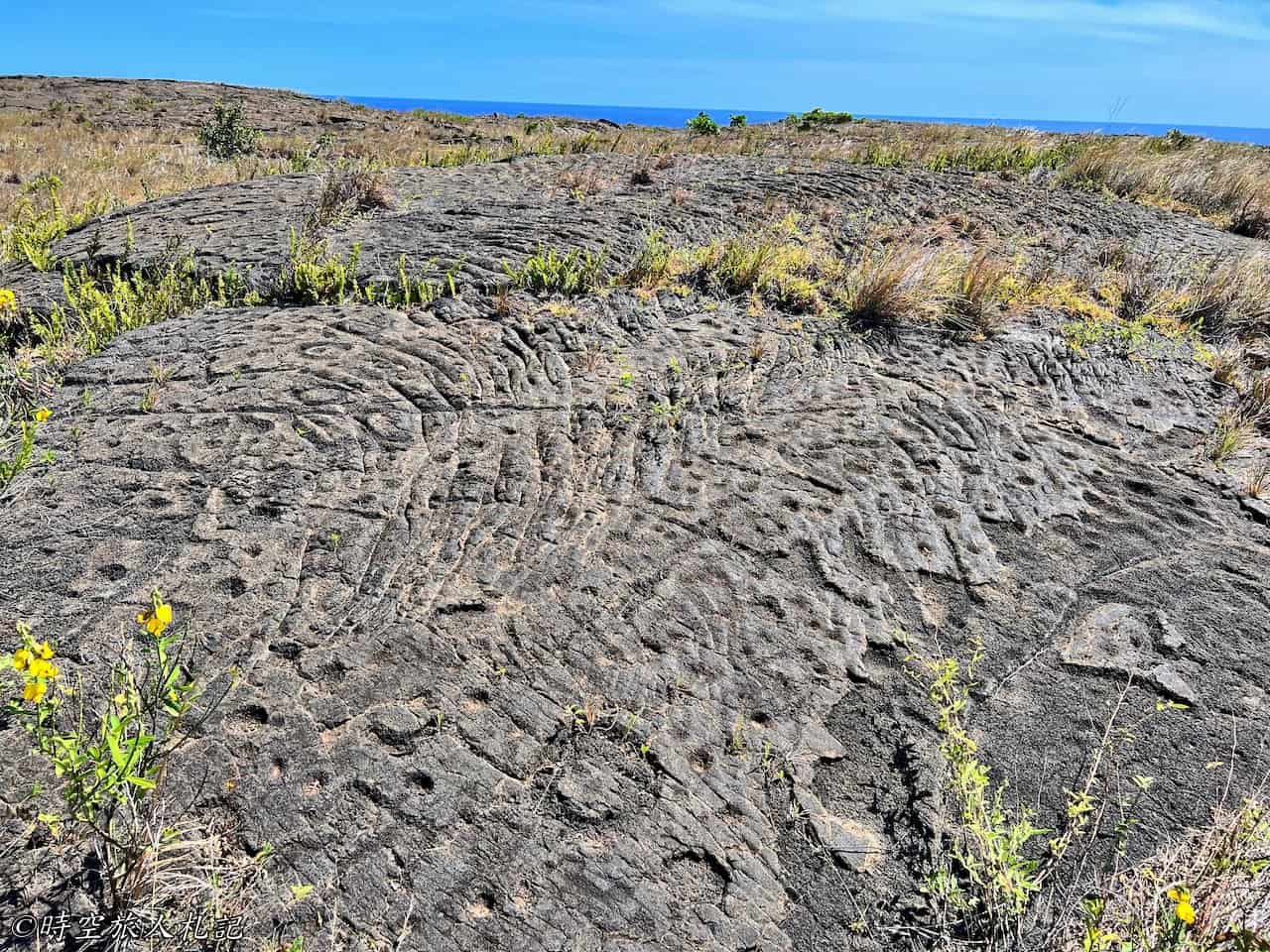
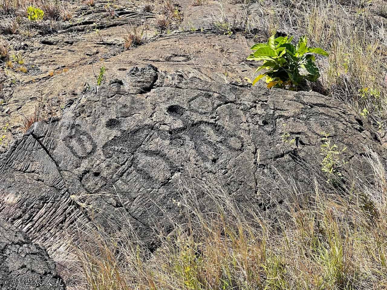
From the trailhead at Puʻuloa, it's a 0.7-mile climb uphill through volcanic lava, which isn't very easy to traverse. As you approach the rock art site, there's a circle of wooden boardwalk where you begin to see ancient boulders covered in indigenous petroglyphs. These boulders, formed by cooled lava, are believed by some to be sacred sites where indigenous people recorded important events, life passages, and other significant occurrences using petroglyphs. Others suggest that travelers would mark the number of companions accompanying them with symbols when passing through. Though interpretations vary, these symbols are undeniably linked to human presence. Interestingly, these petroglyphs remain intact to this day, unaffected by subsequent volcanic activity.
Hōlei Sea Arch
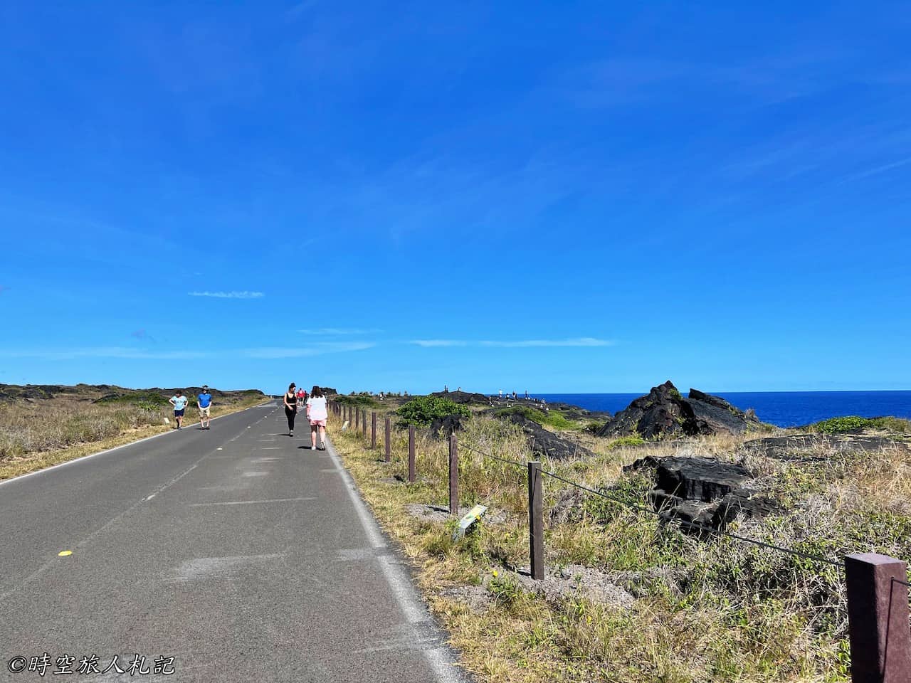
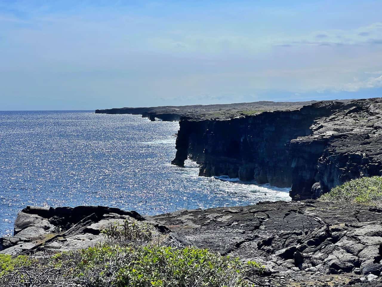
Hōlei Sea Arch serves as the endpoint of the Chain of Craters Road. Visitors park their vehicles and walk the final stretch of the road to reach the viewing platform, where they can behold a sea arch standing tall in the Pacific Ocean. In the past, visitors could witness lava flowing into the sea from this spot, making it a popular destination for watching the sunset and observing the lava. However, the lava flow has since shifted its course.
Kahuku Unit
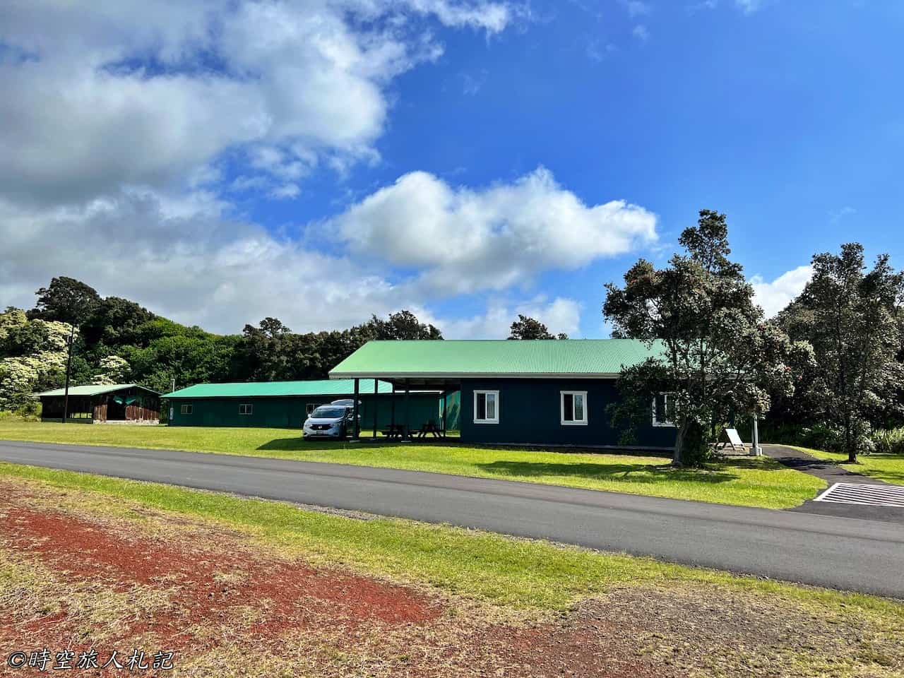
Compared to the bustling Crater Rim Drive and Chain of Craters Road, the Kahuku Unit receives very few visitors and has limited opening hours, only open until 4 p.m. on weekends. If it weren't for us coincidentally visiting on a weekend from the west side, we might easily have missed it. Although the Kahuku Unit is also a remnant of volcanic activity, most of the eruptions here occurred over a century ago. Nowadays, the landscape is dominated by grasslands, teeming with life. Many areas don't even evoke thoughts of volcanoes; they resemble scenes straight out of a Windows desktop wallpaper, beautifully illustrating the power of nature.
Pu'u o Lukuana trail
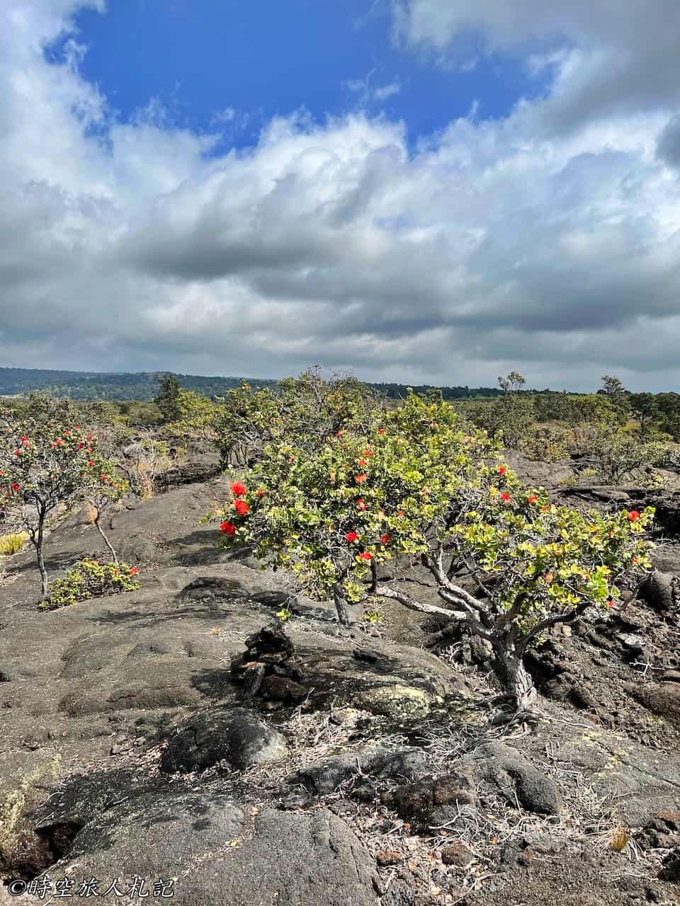
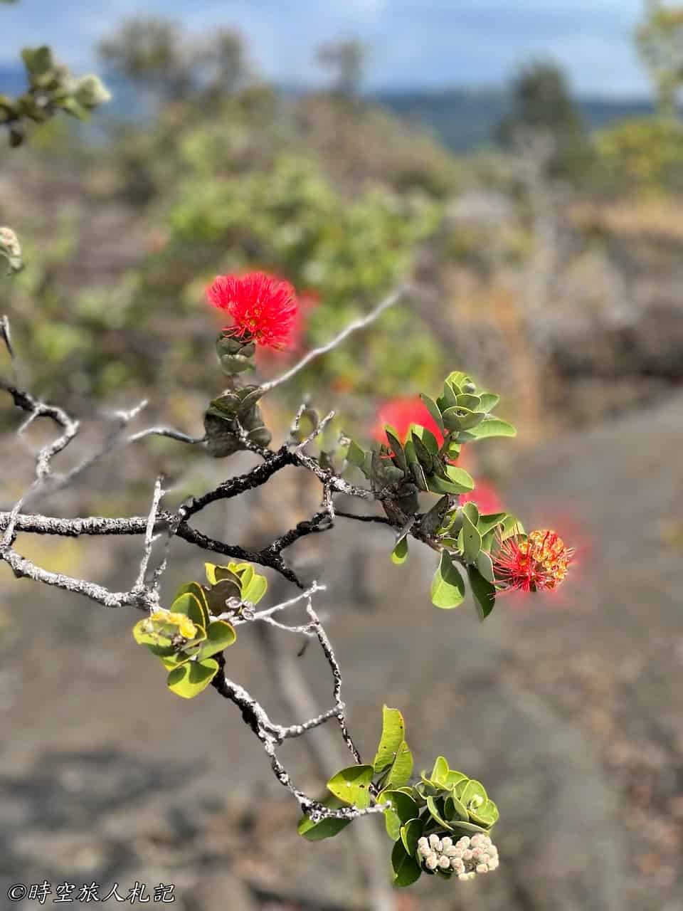
We followed the ranger's advice and hiked the Pu'u o Lokuana trail, which connects to the 1868 lava flows, forming a roughly 2-mile loop. As mentioned earlier, the terrain here was shaped by the lava from the 1868 eruption, so as we walked along the trail, we were actually traversing cooled lava from over a century ago. Although the trail initially appeared like a typical mountain hike with lush greenery, the ground beneath our feet was far from smooth.
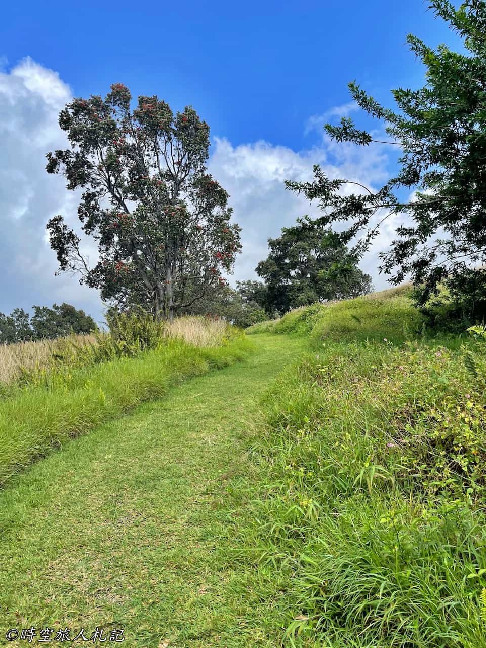
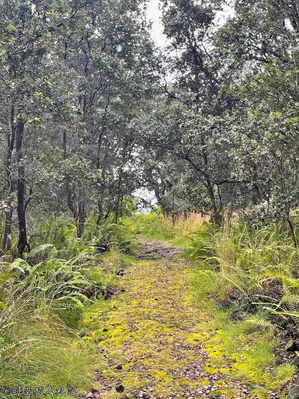
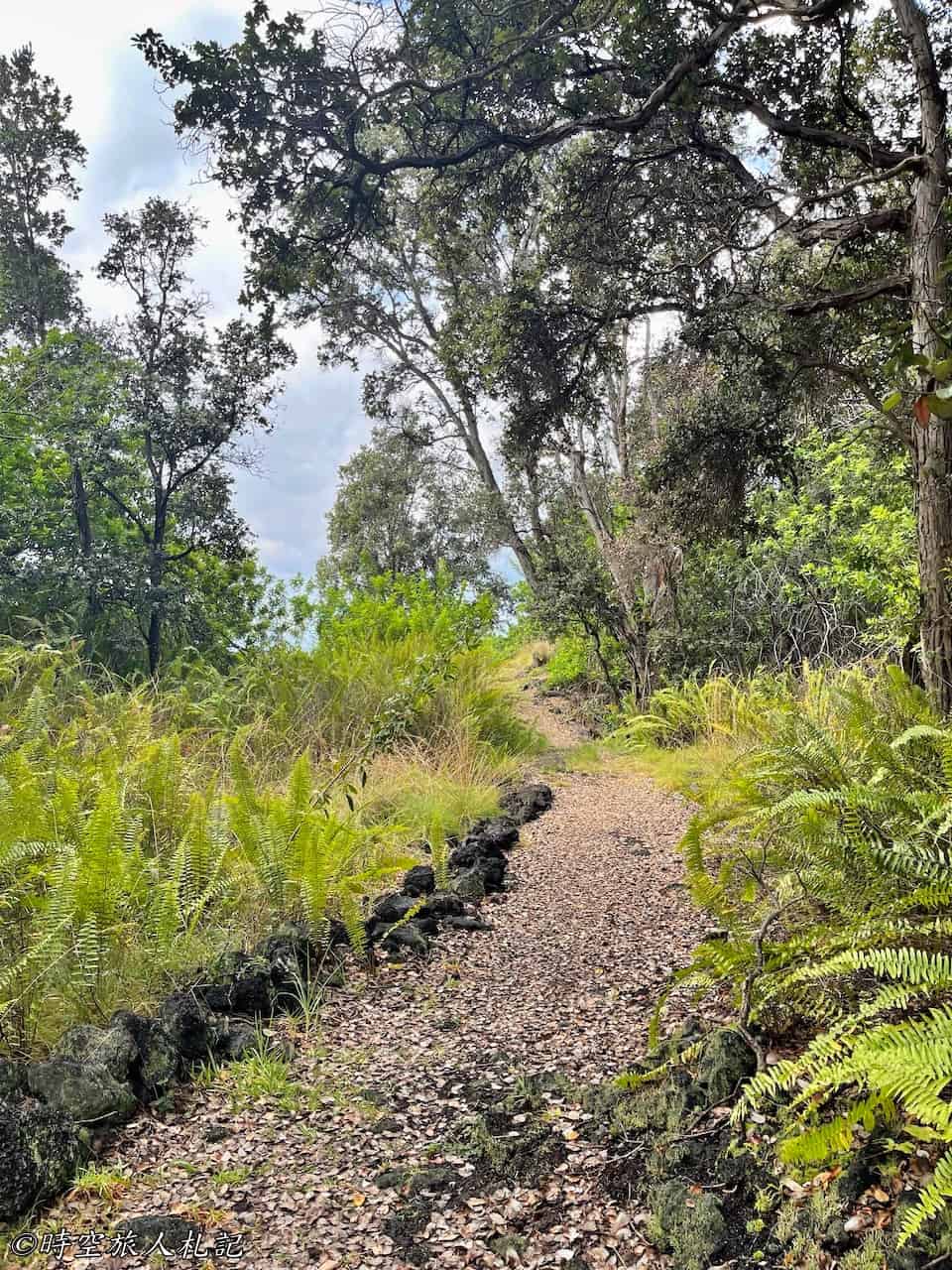
In the middle section of the trail, we encountered remnants of a former military radar station, a testament to its ancient origins. As we ventured deeper, we also encountered vast stretches of cooled lava similar to what we had seen elsewhere, but with a greater abundance of vegetation here. The trail became somewhat challenging to discern in this area, and we had to follow carefully stacked stones to navigate forward.
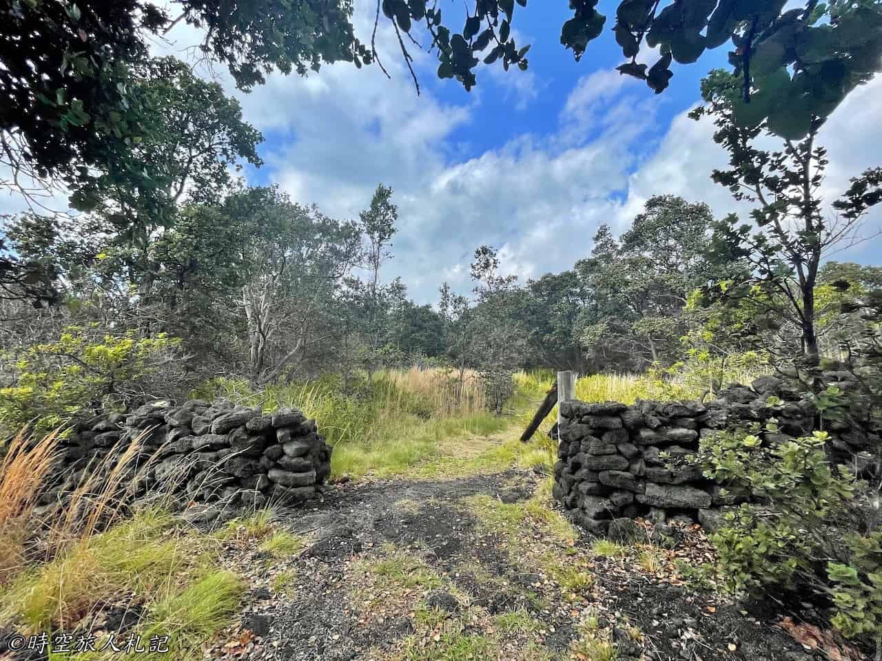
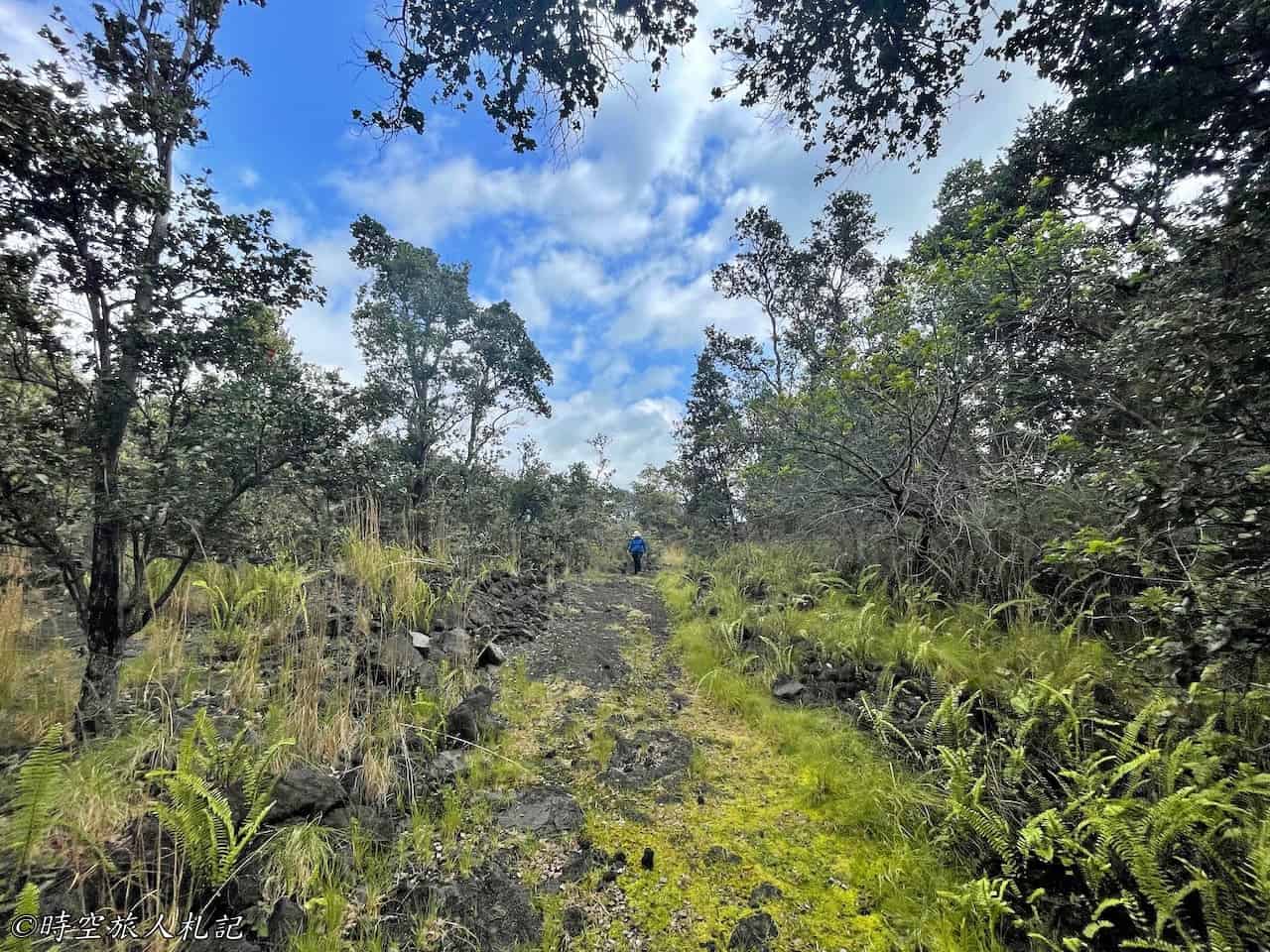
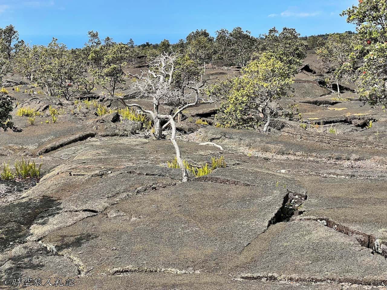
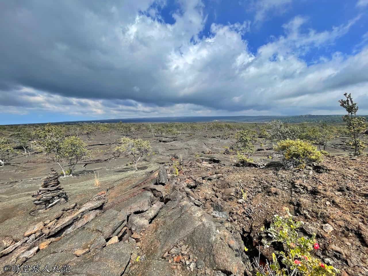
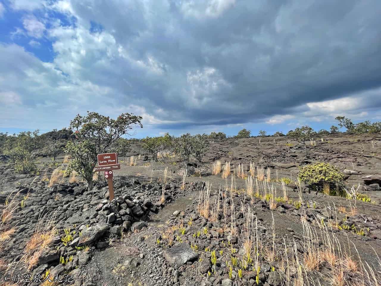
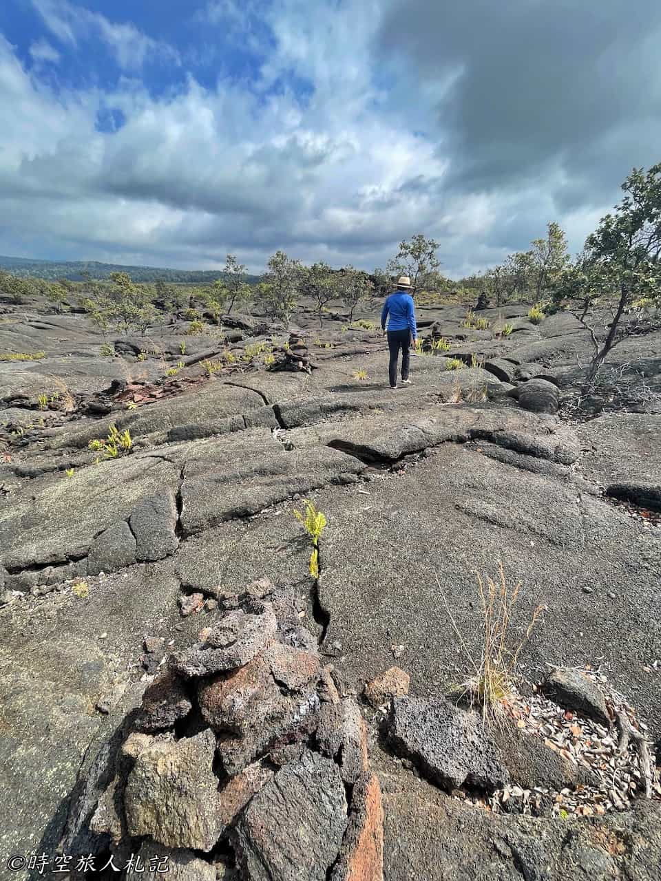
On the return journey, we passed by the Pu’u o Lukuana cinder cone. Walking to the top of the cone, we were greeted with a panoramic view of the entire crater, which was quite impressive.
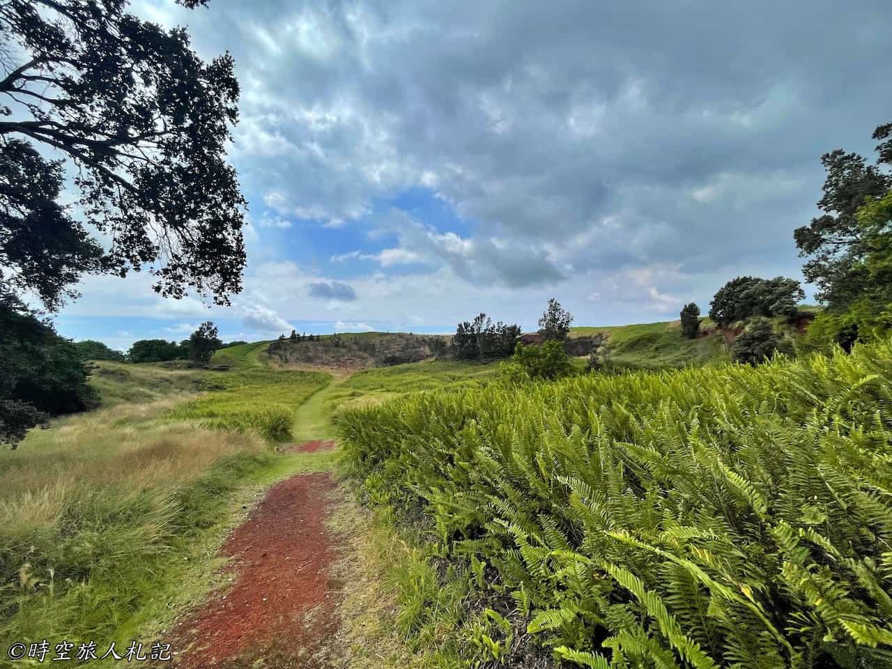
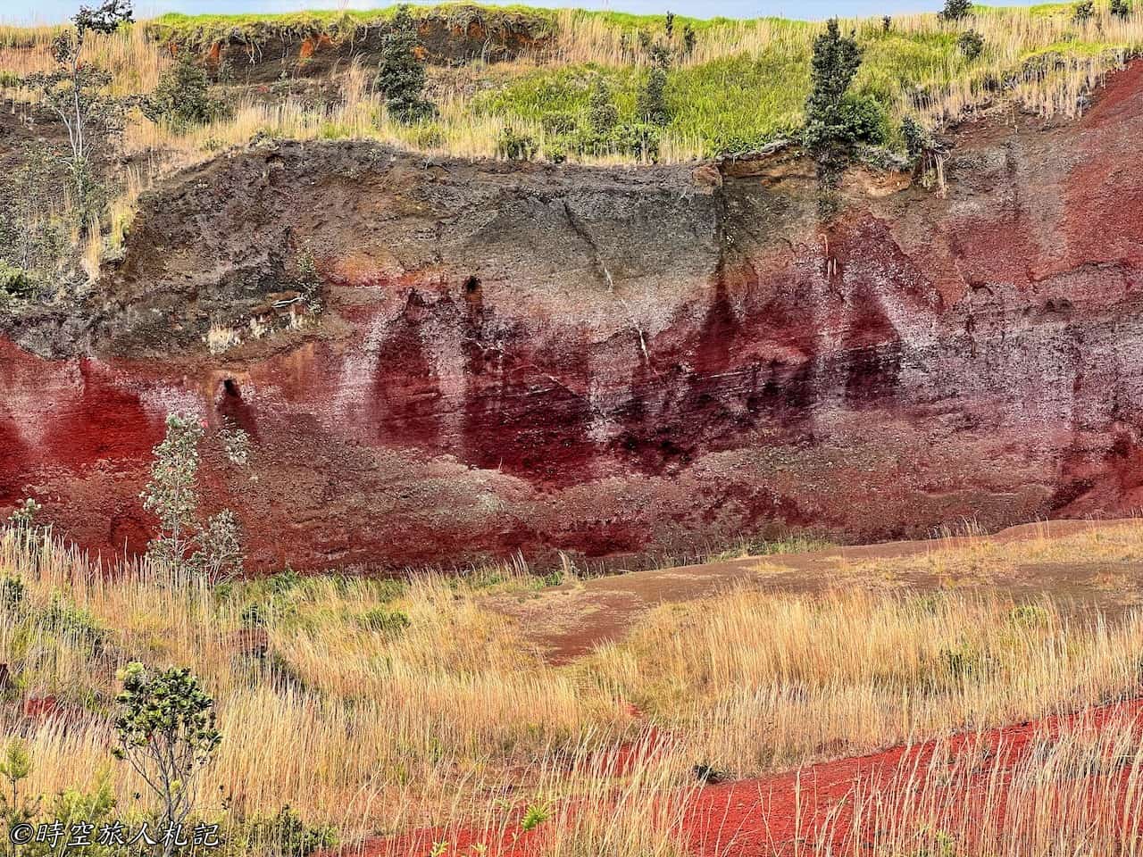
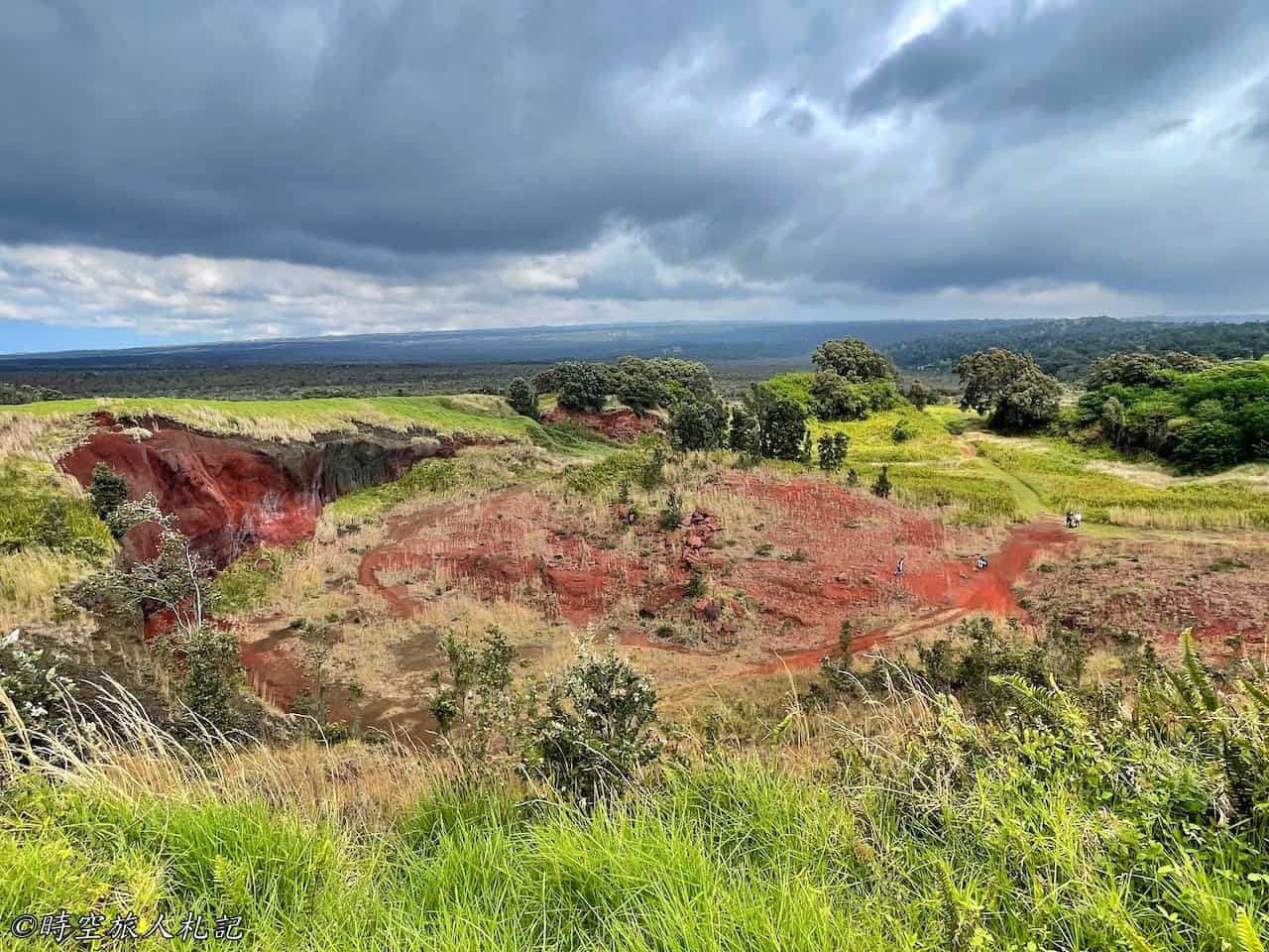
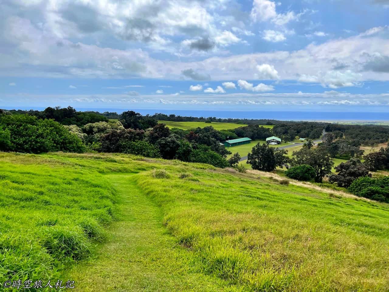
Finally, descending from the cinder cone, we were still able to catch a glimpse of the southern coast of the Big Island.
Further reading
- From Volcanoes to Cuisine: 8 Days on Hawaii's Big Island
- Big Island - Kona Travel Guide
- Big Island - Kohala Coast Travel Guide | Waikoloa Village | Puukohola Heiau | Hapuna Beach | Lapakahi State Park
- What to Do in Hilo? A Two-Day Itinerary for Exploring the East Side of the Big Island
- Hawaii Volcanoes National Park 2 Days Travel Guide
- Big Island Hotel Recommendations | Budget-Friendly Accommodation Review
- 【Hawaii Big Island】Food Adventures on the Big Island | What to Eat Around the Island? | 18 Restaurants and Snack Bars on the Big Island
Thank you for visiting our website.
All the content on this site is original and shared with the purpose of providing valuable information. We sustain the operation of this site through a small amount of advertising and sponsored links. If you click on links to third-party merchants on our site and make purchases, we may receive a portion of the sales as a commission. If you click on links to third-party merchants on our site and make purchases, we may receive a portion of the sales as a commission.
Find more posts on a map Here.
My recommended resources for hotel bookings.
Recommended travel credit card for US-based travelers
Travel with just a backpack!
Buy me a coffee and support my contents!
If you are interested in quoting this article or using any part of its content and images on your website or publication, please contact us via email to request permission.