Contents
Haleakala National Park | Introduction
Haleakala National Park , which means 'house of the sun' in Hawaiian, is located on the island of Maui, Hawaii. The park's major highlight is its vast volcanic crater and the breathtaking sunrise views. However, the terrain varies greatly, from nearly 10,000 feet high volcanic peaks to tropical coastlines, offering a plethora of landscapes that dazzle the eye. The park's ecosystem is also very rich, with a wide variety of plant and animal species making it a paradise for nature enthusiasts. Here, one can find many species that exist only in Hawaii, with different natural scenes unfolding in different seasons.
I put together a simple checklist for beginners.
Haleakala National Park | Transportation & Itinerary Planning
Self-driving is undoubtedly the most convenient option for those who want to personally experience the magnificent scenery of Haleakalā National Park. The park is divided into two distinct areas, the Summit area and the Kipahulu area. The Summit area, located at the top of the Haleakalā volcano, is the most famous part of the park and attracts more visitors. If departing from nearby hotel districts on Maui such as Kihei or Wailea, driving to the summit, which is nearly 10,000 feet high, usually takes about two hours, and it is recommended to plan for a half to a full day trip.
Compared to the Summit Area, the Kipahulu area is located on the eastern coast of Maui. To reach this area, one must travel the famous Road to Hana, which is a scenic yet winding route. The drive from central Maui to the Kipahulu district, without stops, approximately takes 2 hours and 30 minutes. If you're planning to visit the Kipahulu area, it can be arranged as part of a day trip along with the Road to Hana.
If you plan to watch the famous sunrise, it's essential to pay special attention to the park's entry times and regulations. Since the sunrise time is especially popular, the park management has a policy requiring advance reservations to enter the park from 3 am to 7 am. Be sure to make a reservation online in advance to ensure entry into the park.
- Hotel search: Agoda
- Activities & tickets: KKday / Klook / TripAdvisor
- Travel credit cards (US only): My card picks + beginner tips
Haleakala National Park | Accommodations
Haleakalā National Park does not have hotels within its boundaries, it only offers camping opportunities at the summit area's Hosmer Grove Campground and the Kipahulu area's Kipahulu campground. For those considering the need to wake up early to watch the sunrise, the main hotel areas on Maui with the shortest driving distance are near Kahului Airport. Accommodations there are usually more economical and affordable, and it's only about a 1 hour and 20 minute drive to the entrance of Haleakalā, making it a very suitable starting point. Many people prefer to choose Kihei, which is a popular resort area, and it takes about 1 hour and 45 minutes to drive to the national park.
Find a stay in Kahului?
Find a stay in Kihei?
Hosmer Grove Campground
- Comfort: ⭐️⭐️⭐️
- Camp Space: ⭐️⭐️
- Facility Cleanliness: ⭐️⭐️⭐️⭐️
- Location Convenience: ⭐️⭐️⭐️⭐️
- Overall Rating: ⭐️⭐️⭐️
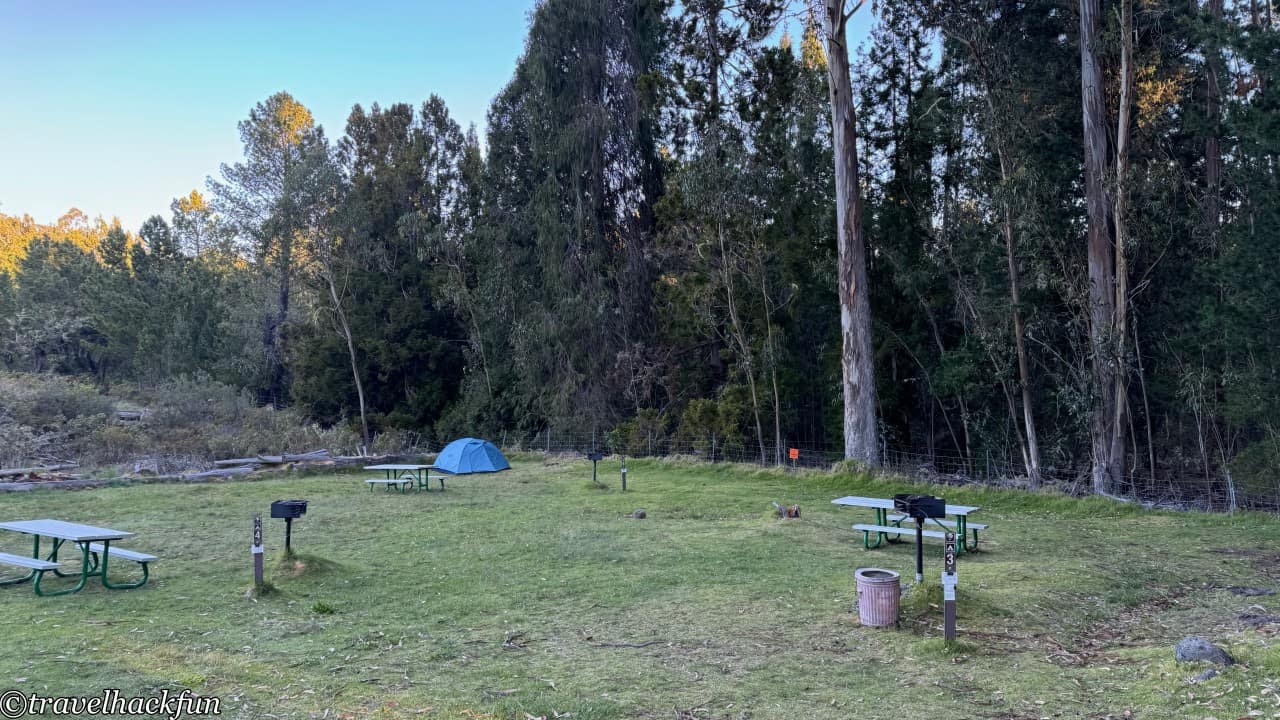
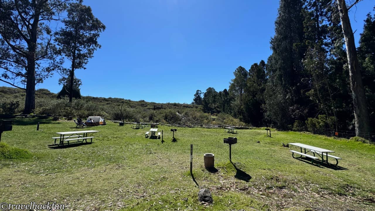
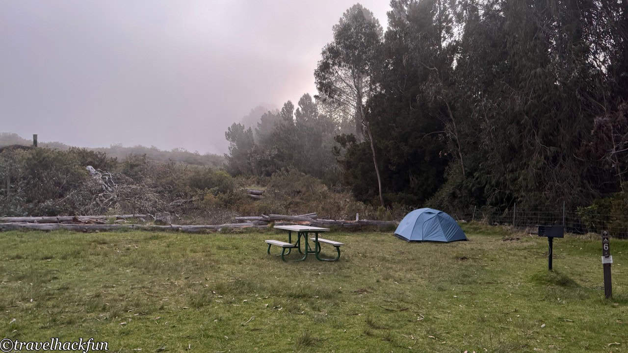
Hosmer Grove Campground is located not far from the park's headquarters visitor center, at an elevation of 7000 feet. Sometimes, it is also enveloped by the famous clouds of Haleakalā, and the night temperature can be low, so it is essential to bring warm gear if you plan to camp here. The sunlight is bright in the afternoon, but by evening, the area tends to be enveloped in mist. This campground is quite small, containing only six sites, and the sites are not very large. The camp has only basic restrooms without flush toilets, but they are kept fairly clean and even come with hand soap. Remember to check in at the picnic area next to the campsite to reserve your spot; otherwise, you might have to pay a no-show penalty that's more expensive than the camping fee.
Haleakala National Park | Attractions
Summit Area
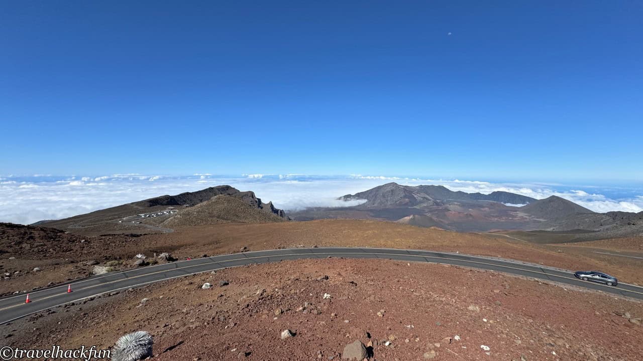
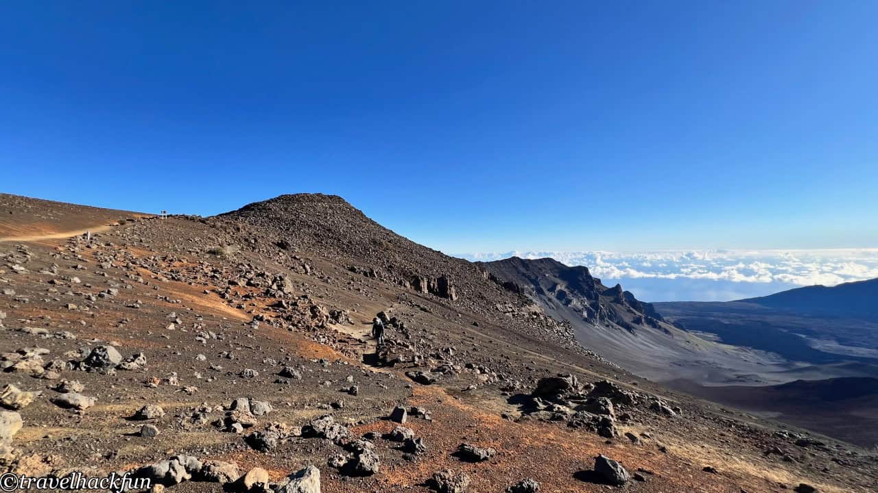
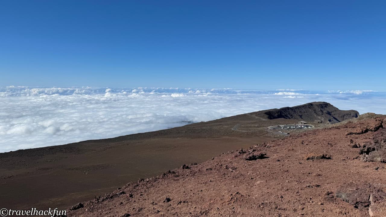
Summit Area is known as the legendary Land Above the Clouds, Kua Mauna. This area is the highest part of the park, with its peak reaching up to 10,000 feet. The temperature is relatively lower, so remember to keep warm when visiting. Exploring the Summit Area is quite simple, as most of the attractions are concentrated near the peak. It is recommended to drive up to the top along the mountain road and then stop at the three major viewpoints on the way down. Due to the topographic elevation effect, clouds often form on the way up the mountain, and with the wind, you might experience cloudiness and clear skies within five minutes, resulting in significant changes in the scenery. Once you reach the top, you will be greeted by a spectacular sea of clouds.
Attractions | Pu'u 'Ula'ula Summit
Pu'u 'Ula'ula Summit is the highest point in Haleakala National Park at approximately 10,023 feet. It means "red hill" in Hawaiian, a name derived from the rich volcanic soil that surrounds it, which has a distinctive deep red hue when exposed to sunlight.
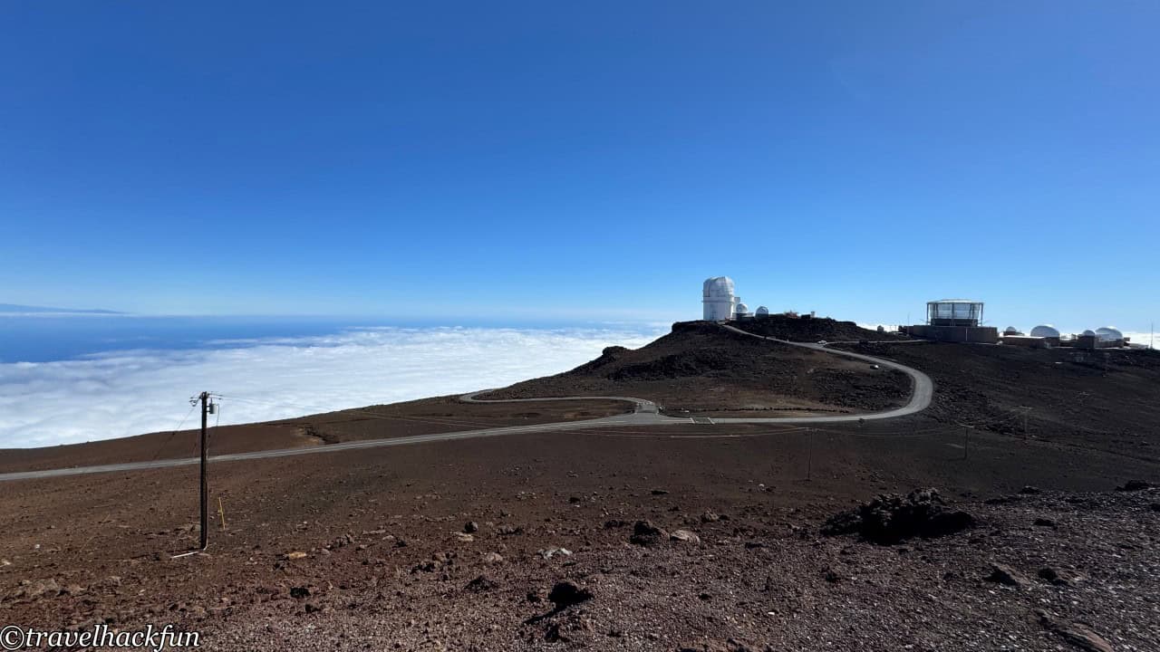
Standing at Pu'u 'Ula'ula Summit, you have a 360-degree view of the entire island of Maui and the surrounding ocean, and when there are fewer clouds, you can also see the nearby Big Island. It's the perfect place to watch the sunrise and sunset. Due to the high altitude and clear skies, it is ideal for astronomical observations, so we can also see the observatory Haleakala Observatories from the top of the mountain.
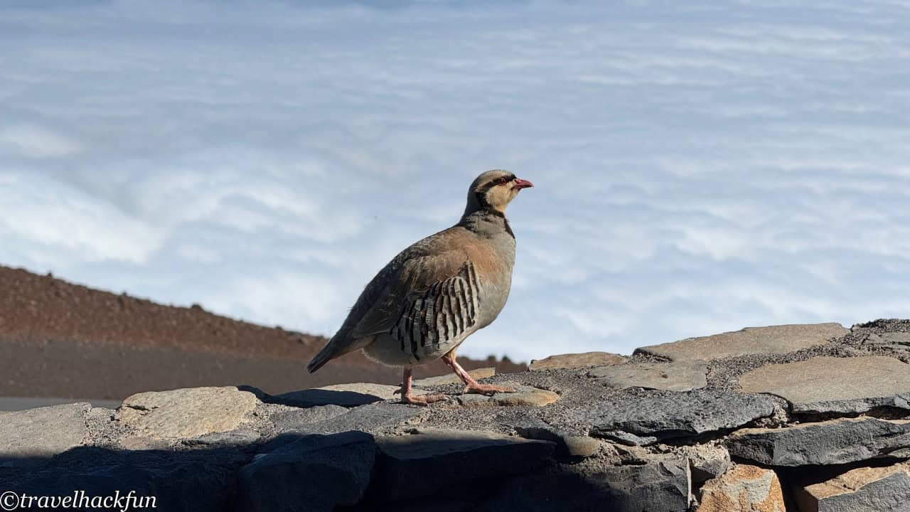
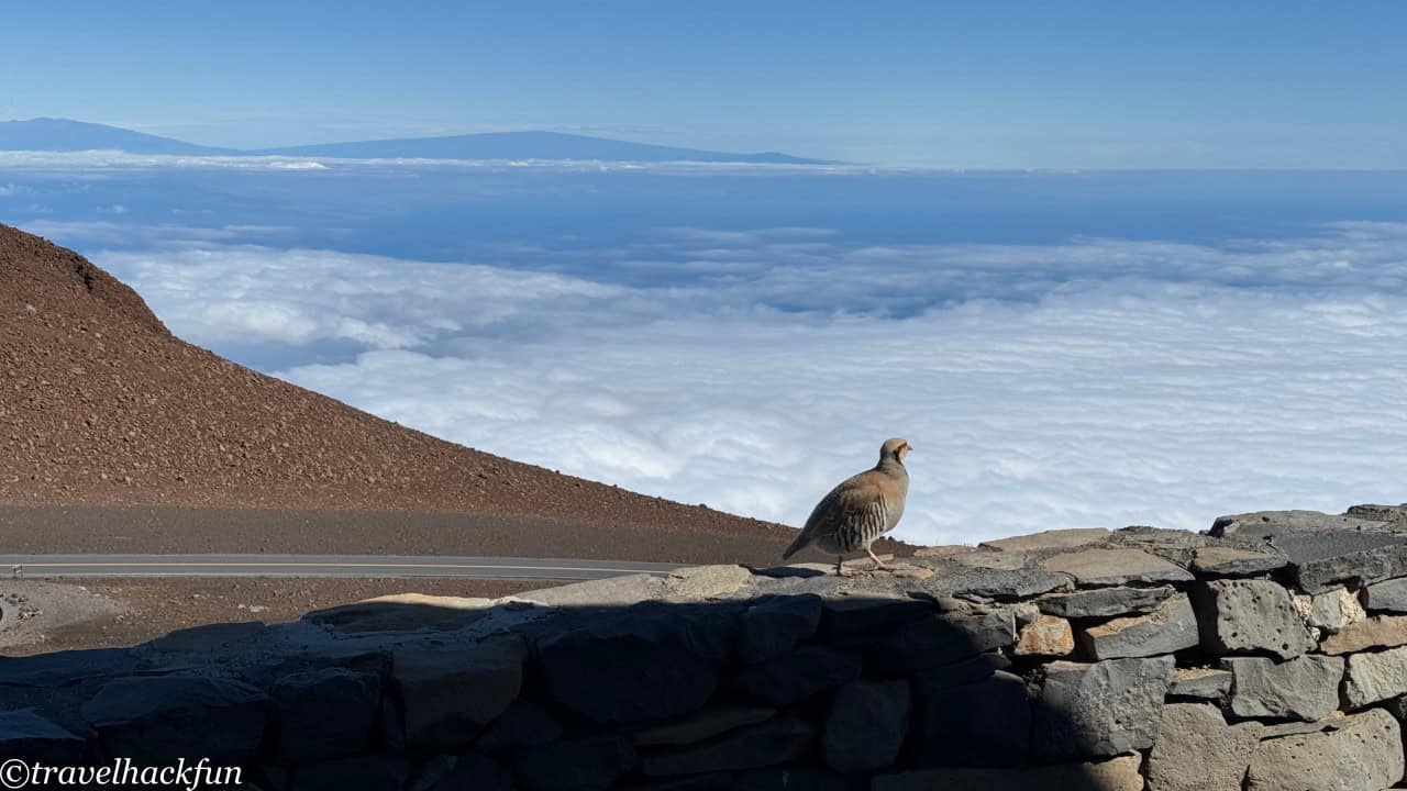
At the summit, one can often see the Nene, a species unique to the Hawaiian Islands, which is why it has been designated as the state bird of Hawaii. The Nene is actually a type of goose that has adapted to Hawaii's volcanic terrain with several unique physiological features. For example, their legs are thicker and shorter than those of other goose species, and their webbed feet are smaller, making them well-suited for walking on the rugged lava ground. Their call is also special, being softer compared to the calls of other geese.
The number of Nenes once plummeted drastically, and by the mid-1950s, it was estimated that there might have been fewer than 30 wild Nenes worldwide. Thanks to long-term rehabilitation efforts, the population of Nene has somewhat recovered. However, they are still listed as endangered species, so please do not feed or disturb them.
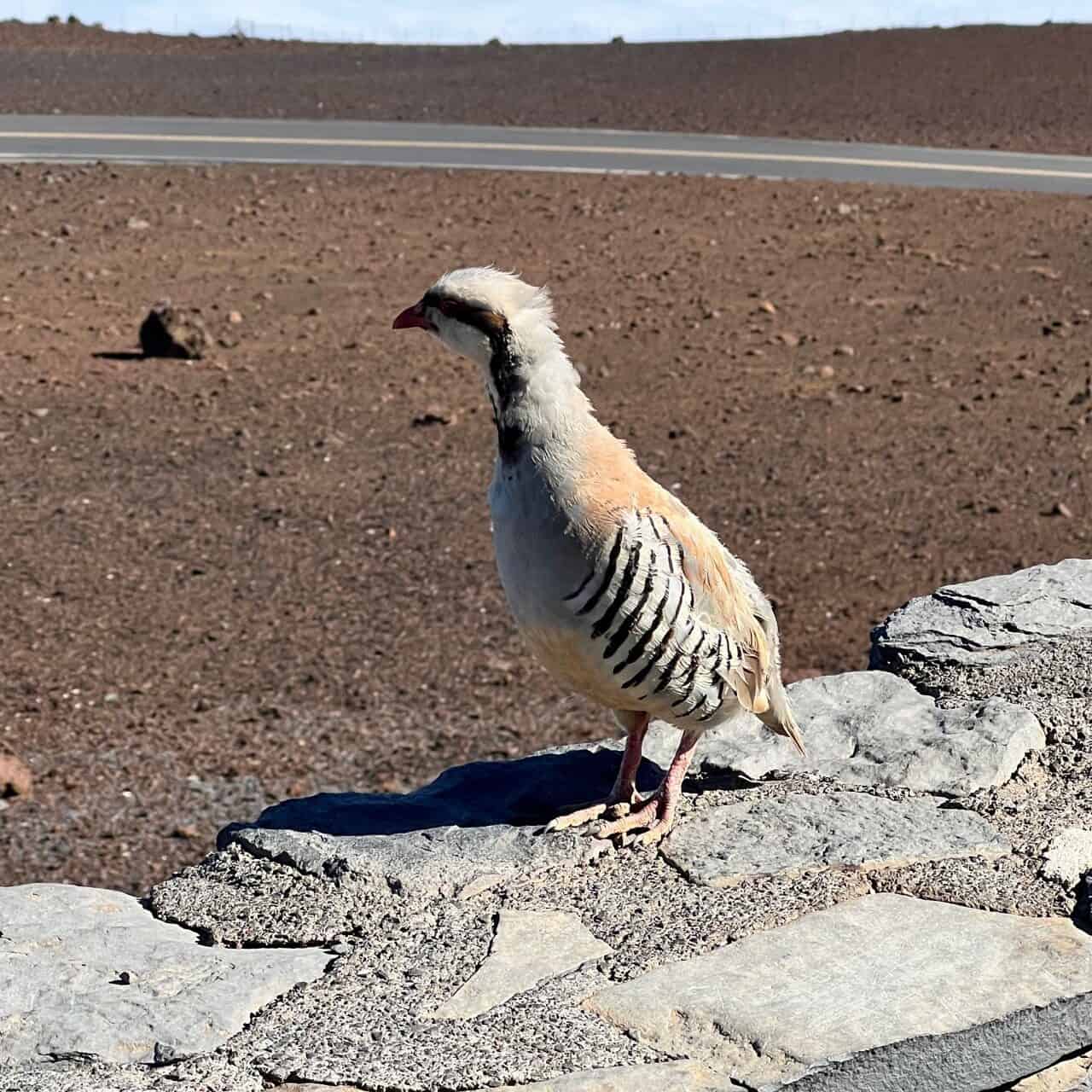
Haleakala Visitor Center
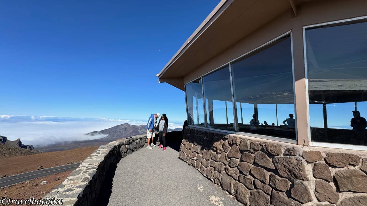
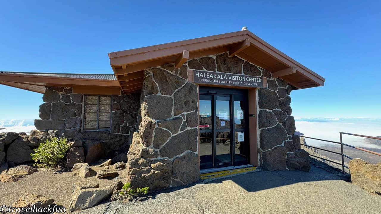
The Haleakala Visitor Center, not far from the summit, is the main visitor center for the Summit area. Although the internet states that it is open until 4 pm, we found that it actually only opens until noon when we arrived. However, the real highlight here is the observation point next to the visitor center, which is a great spot for viewing the cloud sea and sunrise. We visited in the afternoon, and the cloud sea was rolling up from the Kaupo Gap into the crater, which was absolutely beautiful.
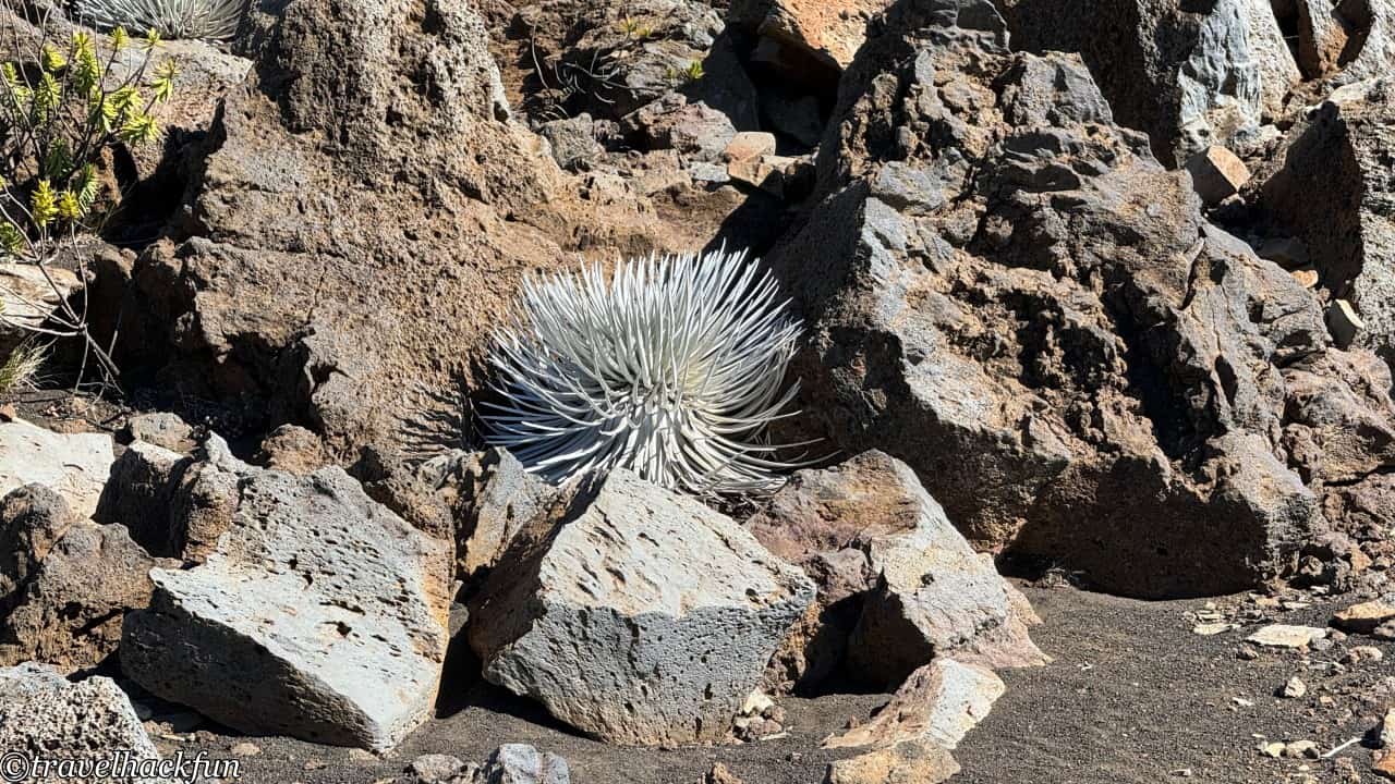
Next to the visitor center and on the summit, one can see the Silversword, a very unique and rare plant that only grows in Haleakalā National Park in Hawaii and a few surrounding areas, especially concentrated in high-altitude volcanic regions.
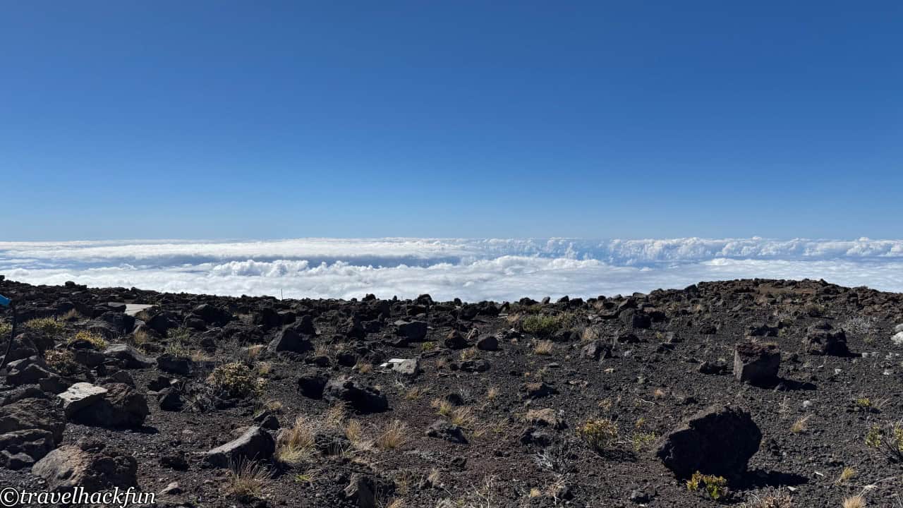
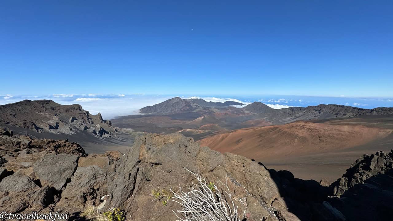
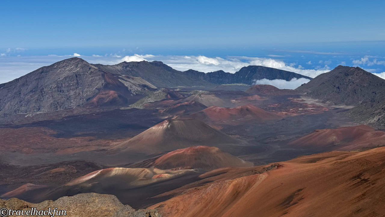
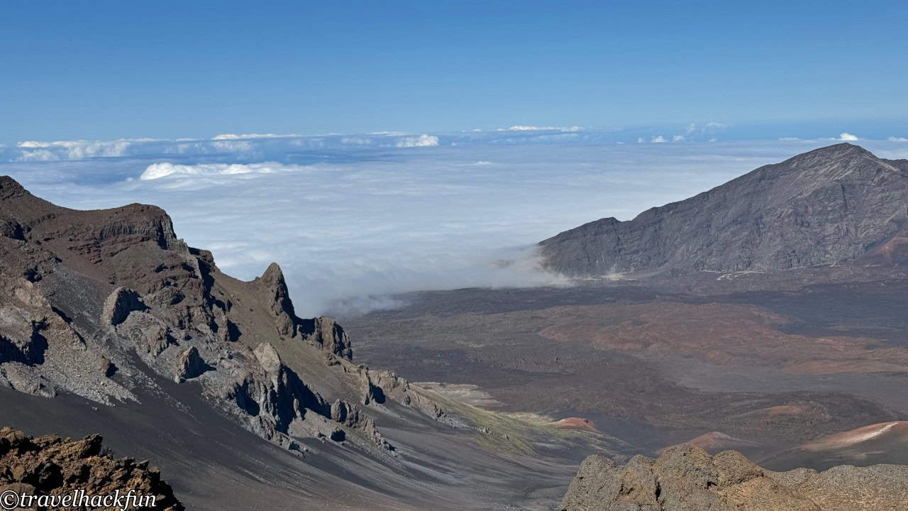
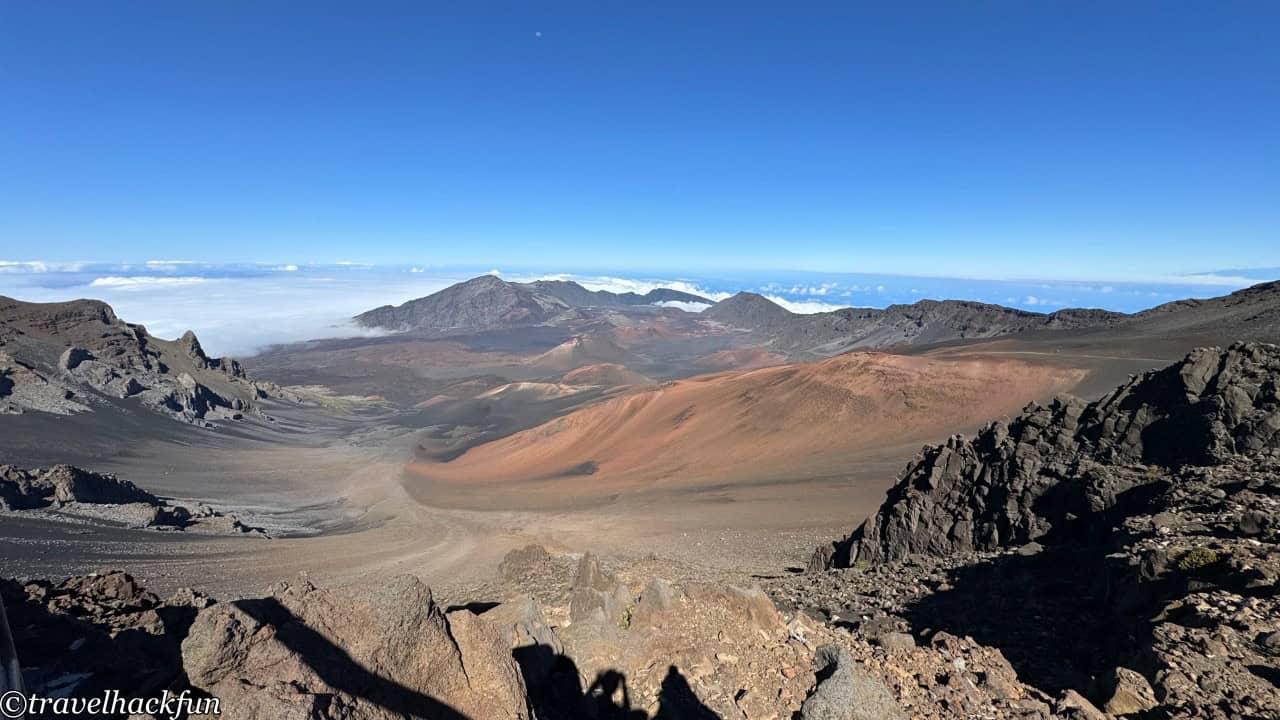
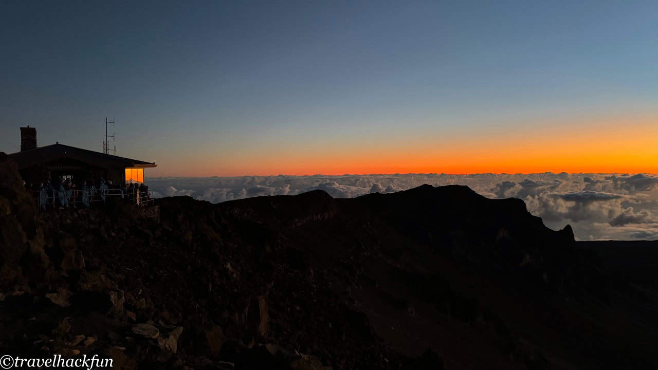
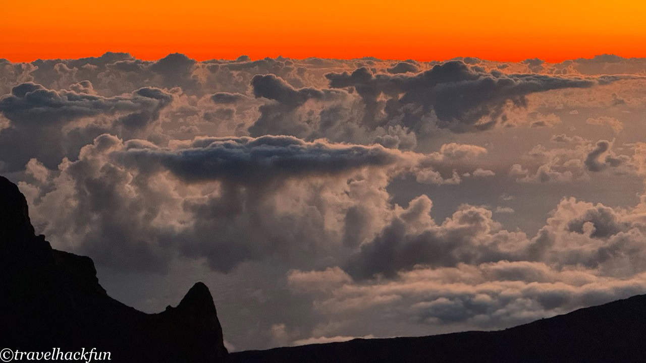
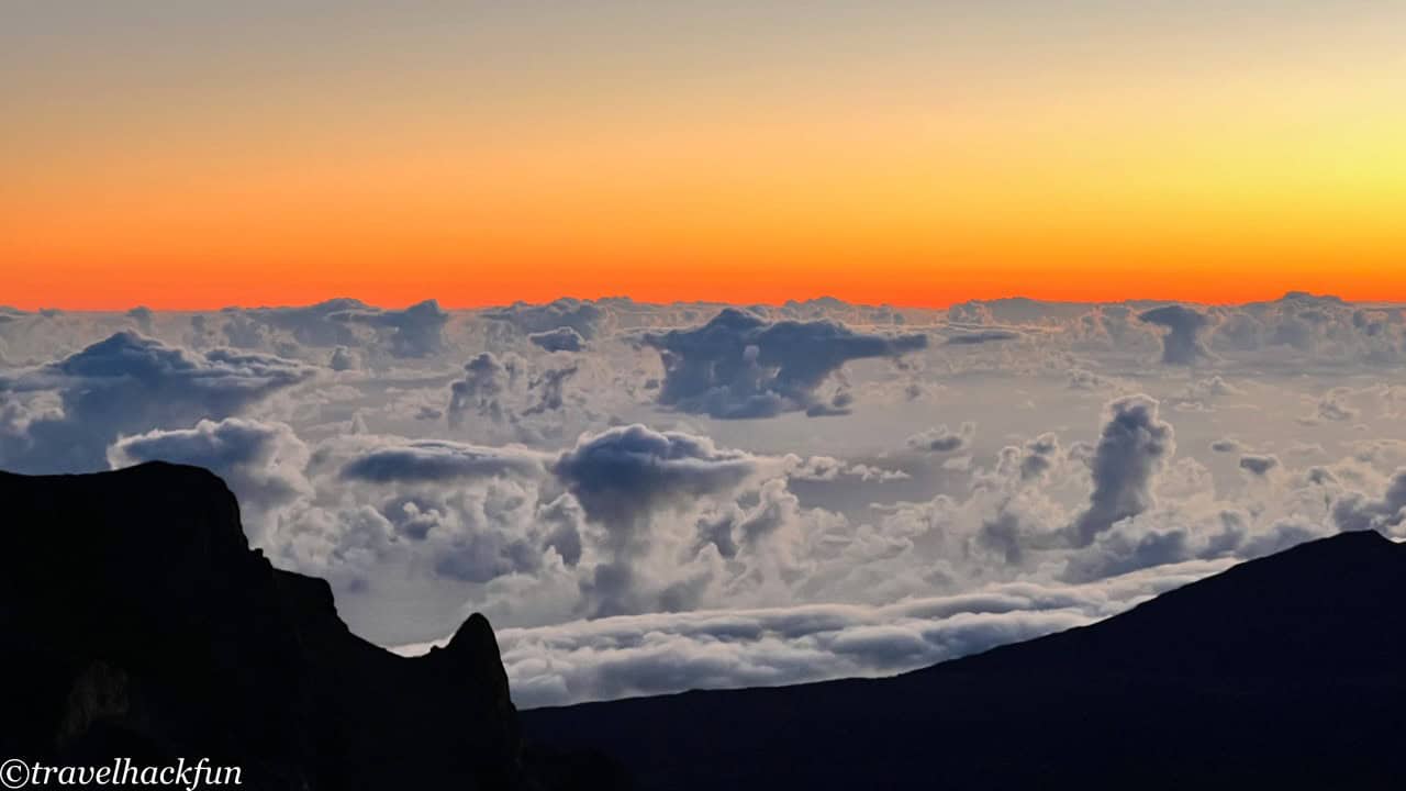
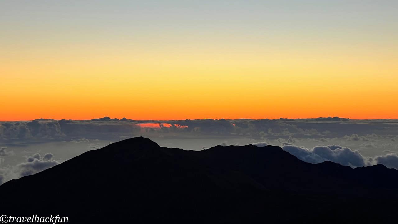
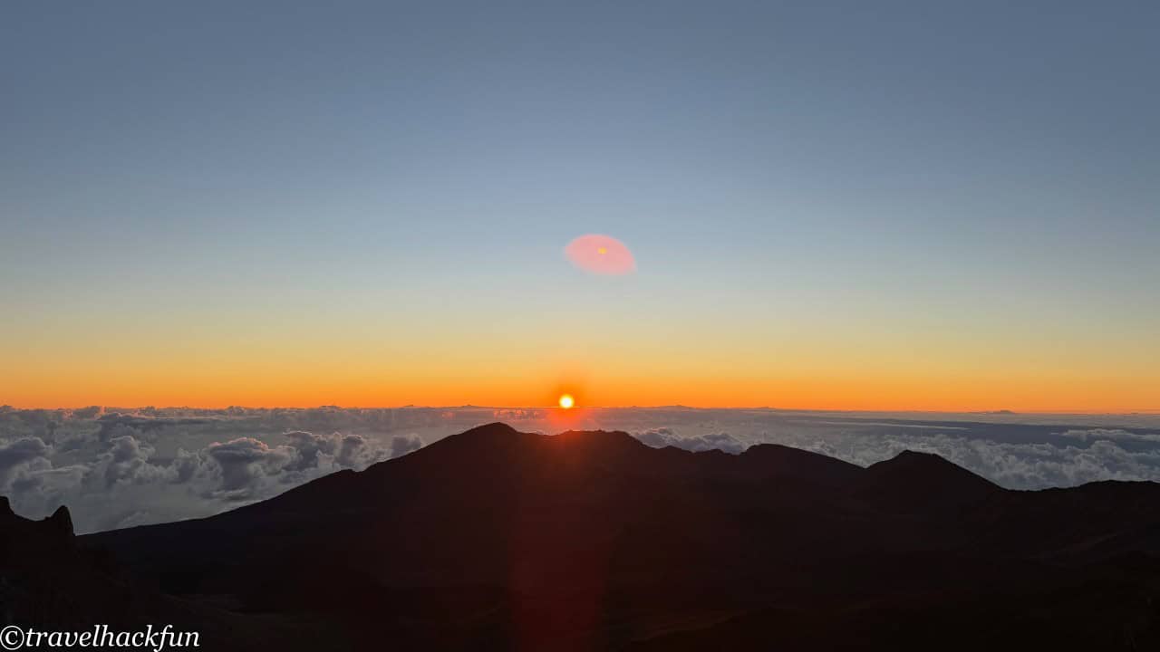
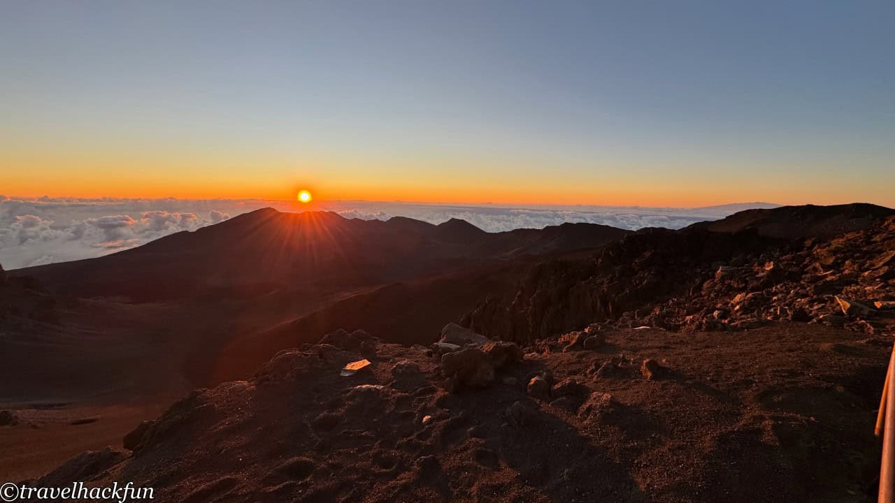
We came here again the next day to watch the sunrise, feeling the most primal awakening of nature as a new day began. The horizon transitioned from a deep dark blue to fiery red, then to golden yellow, and finally to a brilliant white light, presenting a scene that was both spectacular and moving.
Trail | Pa'Kaoao Trail
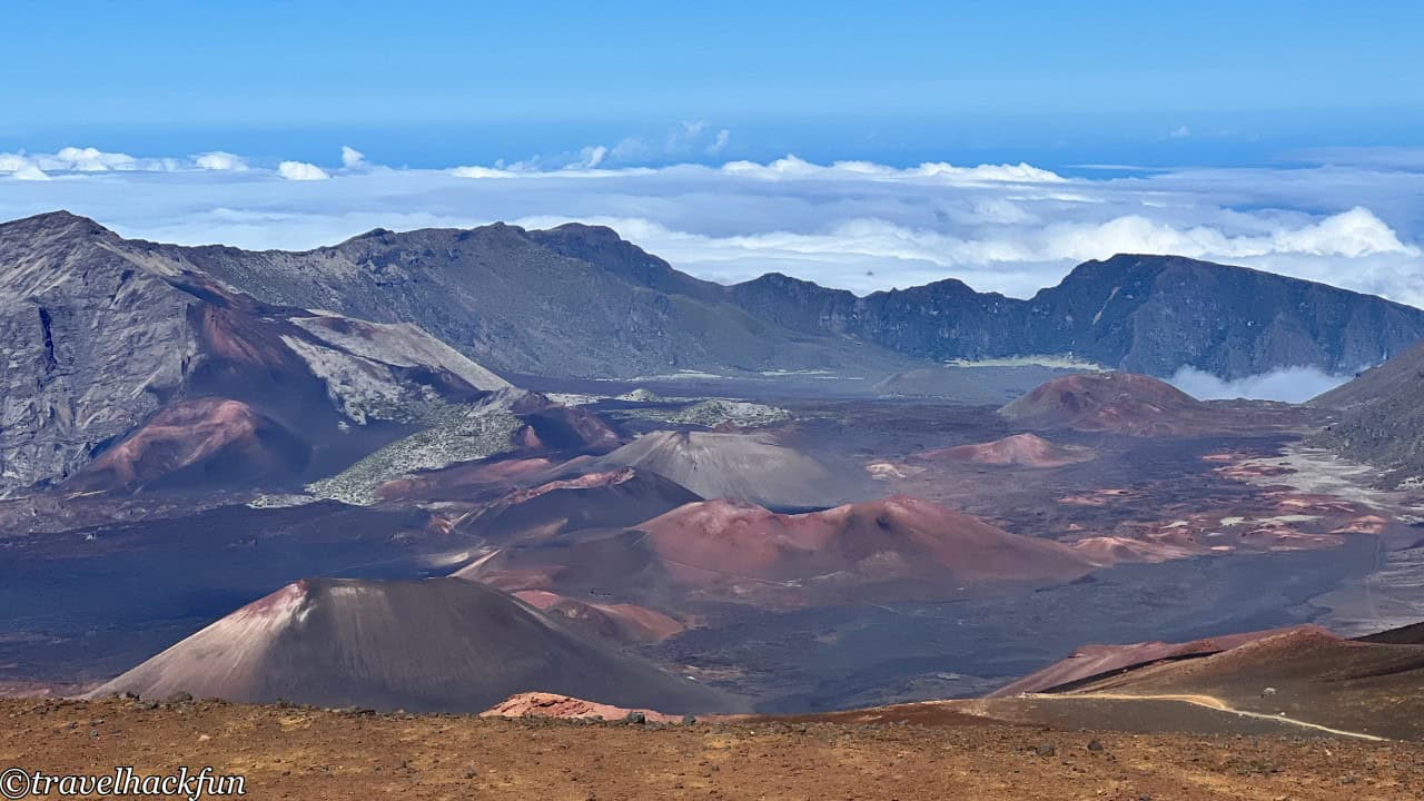
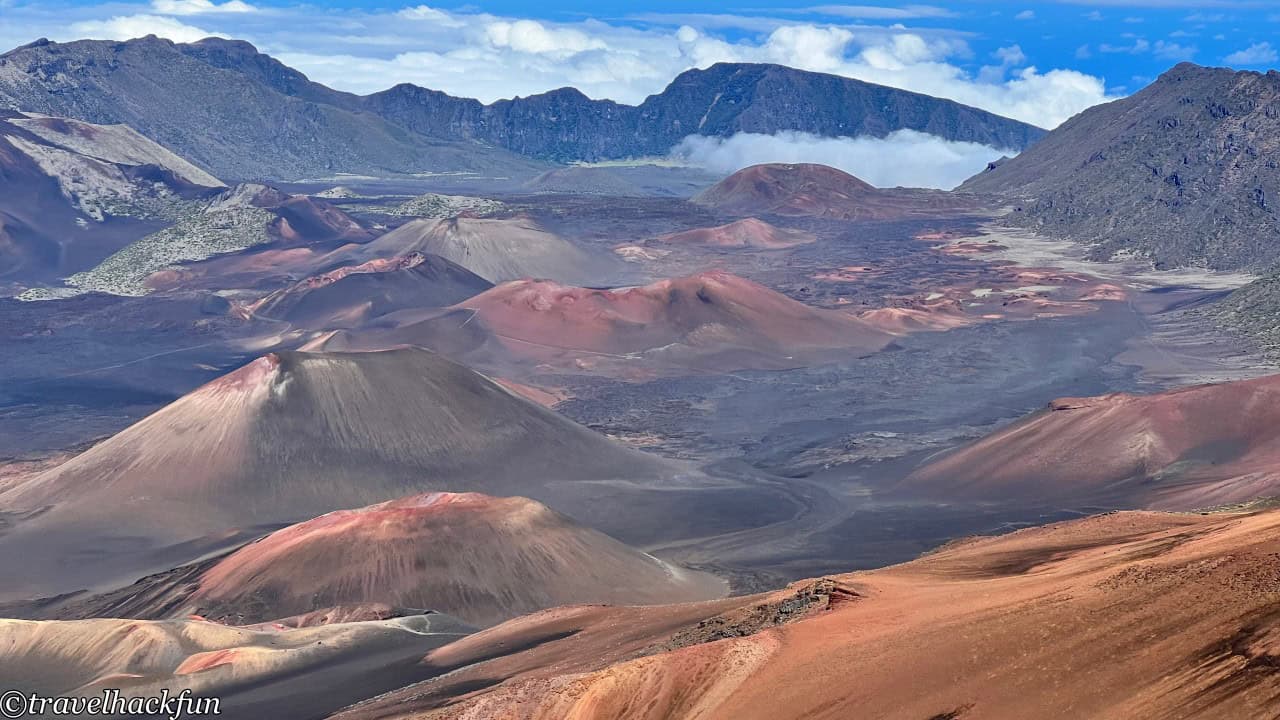
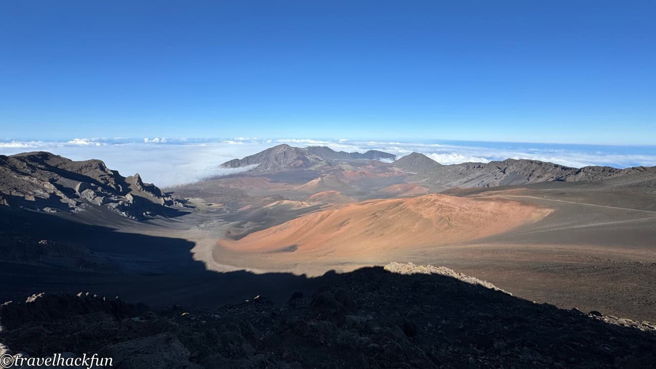
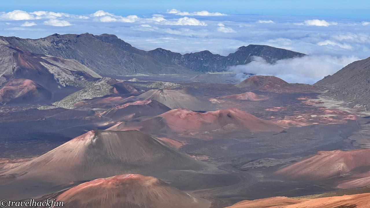
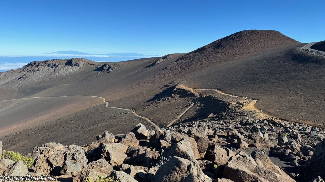
Behind the visitor center, there is a one-way 0.2 mile short trail that leads to a higher vantage point, offering an overlook of the entire Haleakala crater and its surroundings, as well as views of the Sliding Sand Trail that crosses the crater.
Trail | Sliding Sand Trail (Keonehe'ehe'e Trailhead)
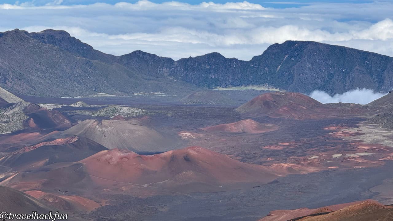
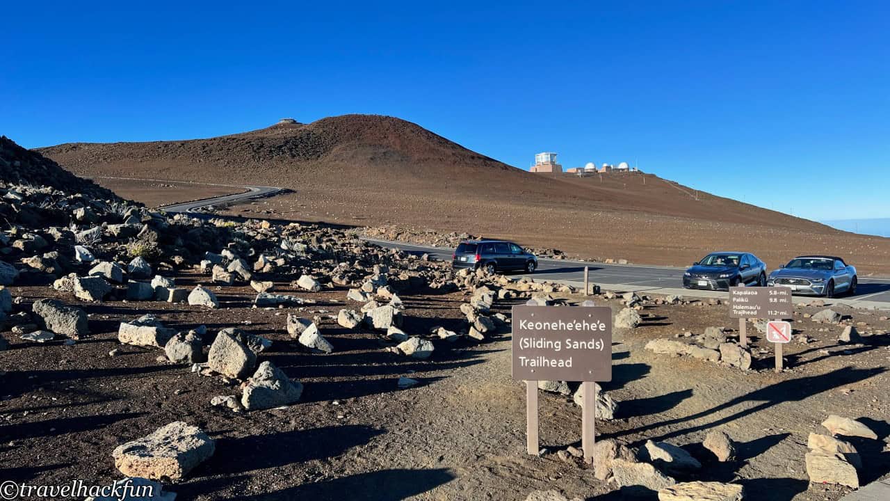
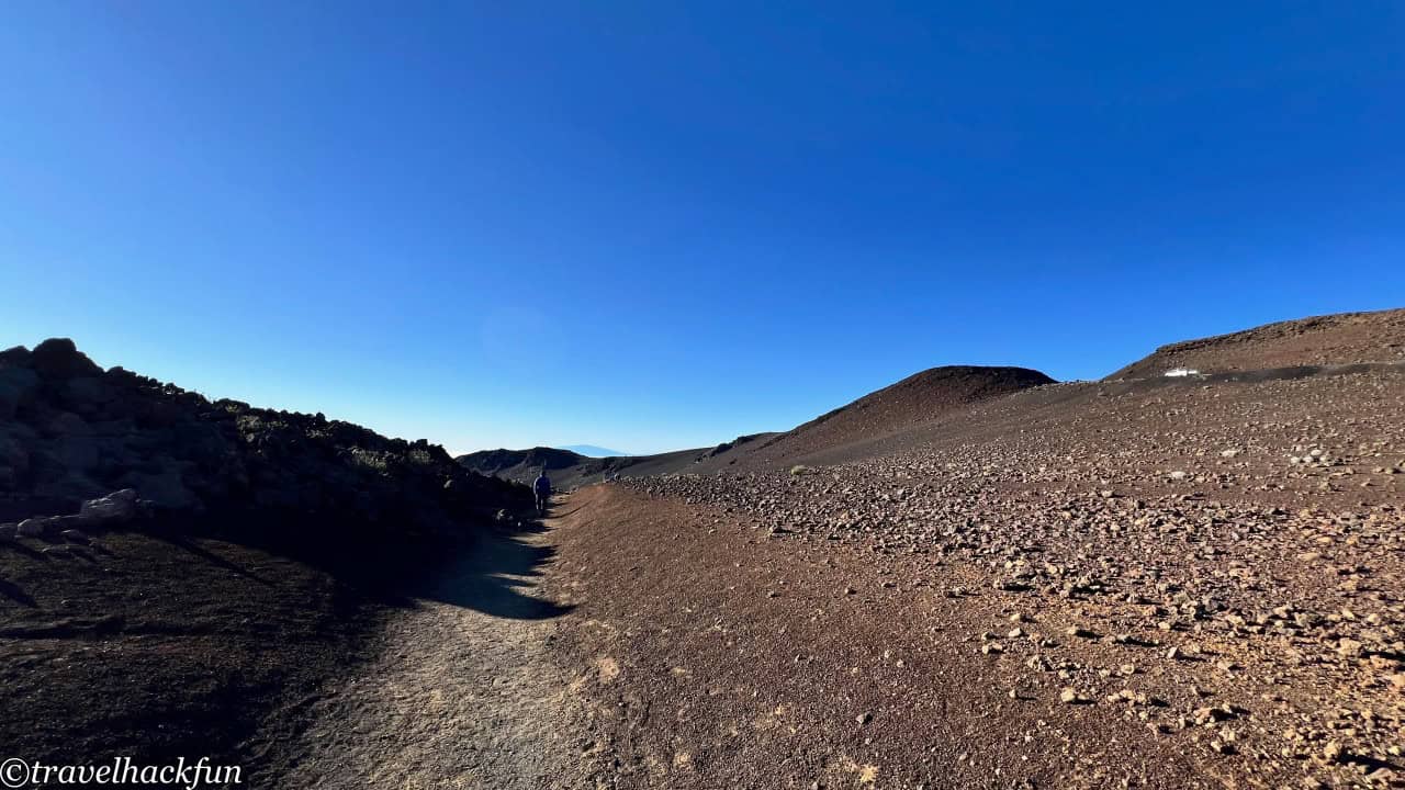
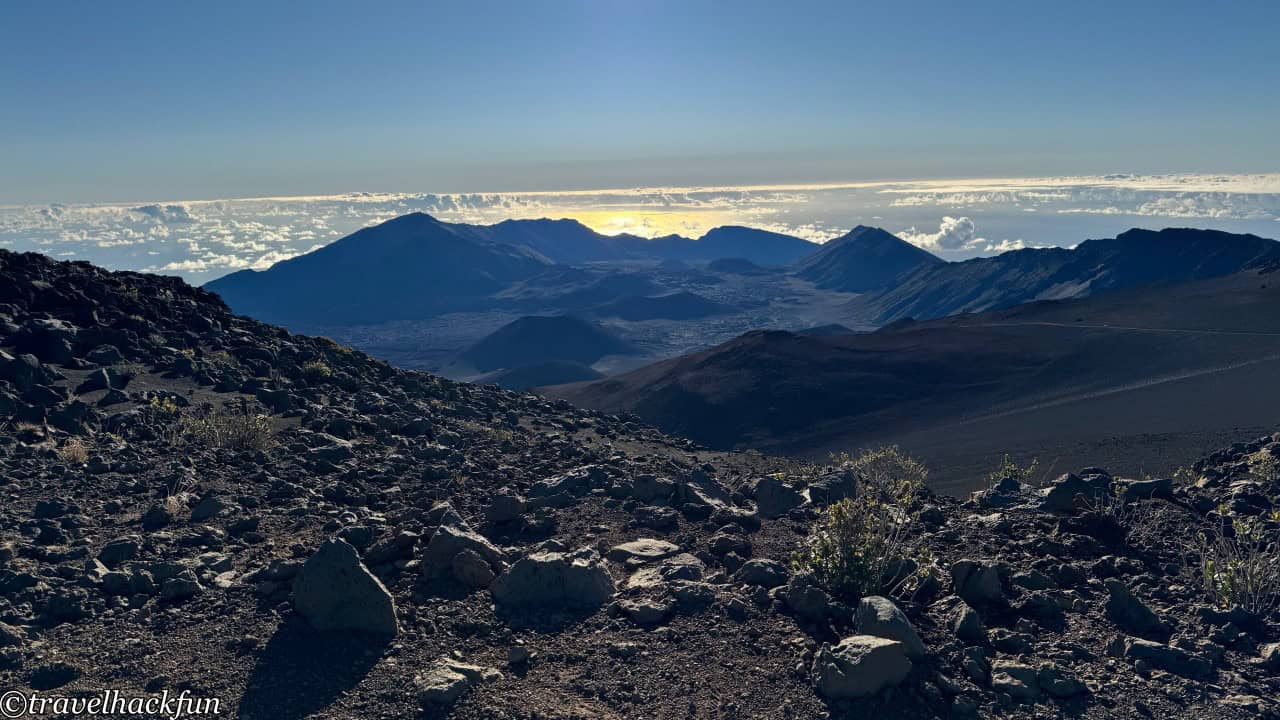
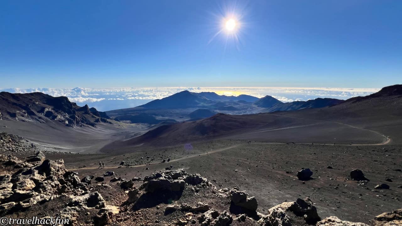
The Sliding Sands Trail is a renowned path, with its entrance located near the Haleakala Visitor Center, behind the parking lot. Following this trail, one can traverse the crater, although it presents a significant challenge. Stretching downwards into the crater from the entrance, the one-way distance is about 4 miles, totaling 8 miles for a round trip. However, setting foot on the Sliding Sands Trail, you will be astounded by the surrounding colorful volcanic cones and the vast landscape of volcanic ash. If time and physical condition are limited, it's possible to only walk a portion to the first turn to get a taste of the experience.
Kalahaku Overlook
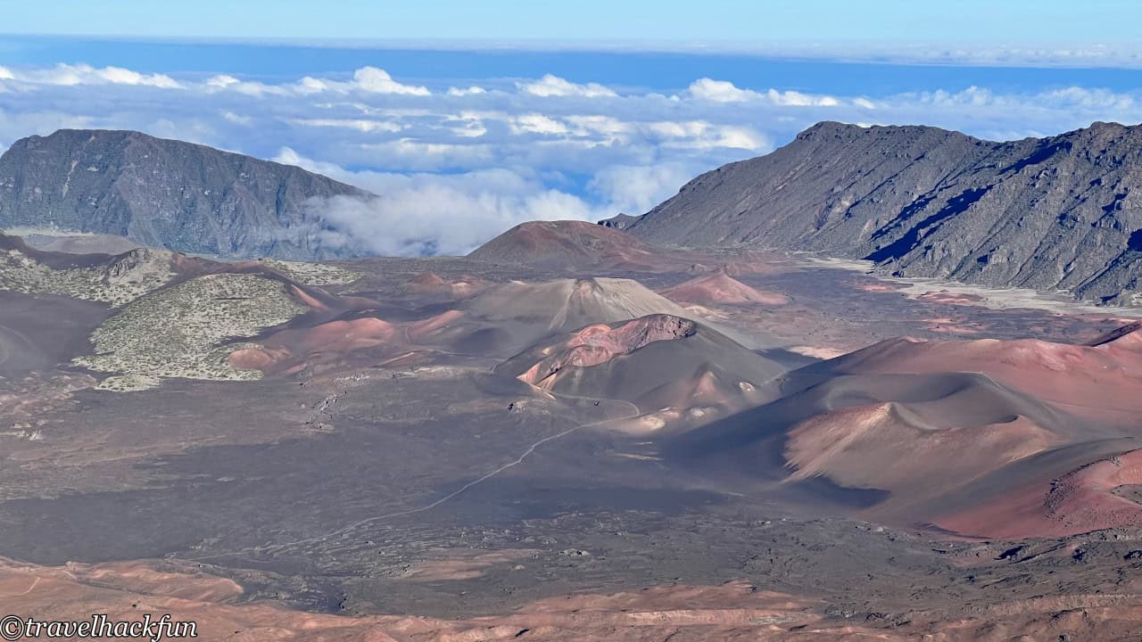
Descending from the summit, one arrives at Kalahaku Overlook, from where one can gaze at the entire Haleakalā crater from a lower perspective. Here, the famous red and gray cinder cones are also clearly visible.
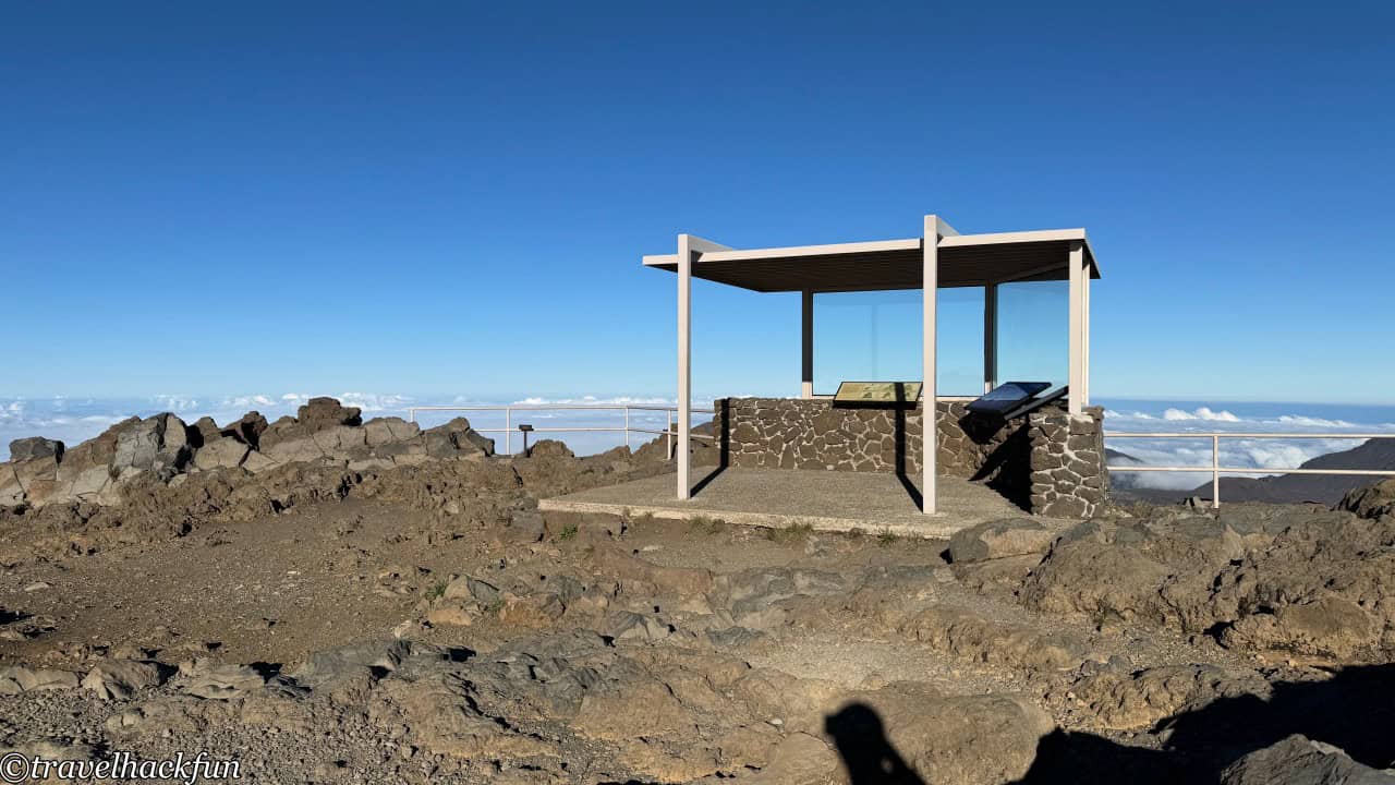
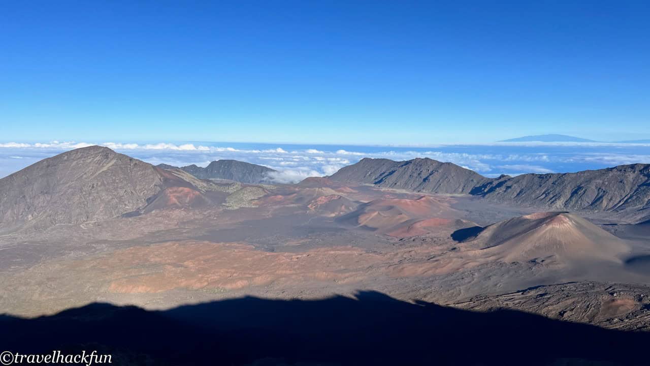
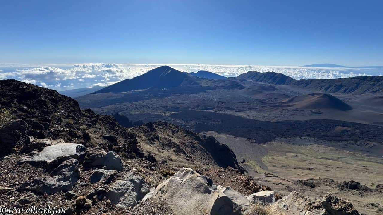
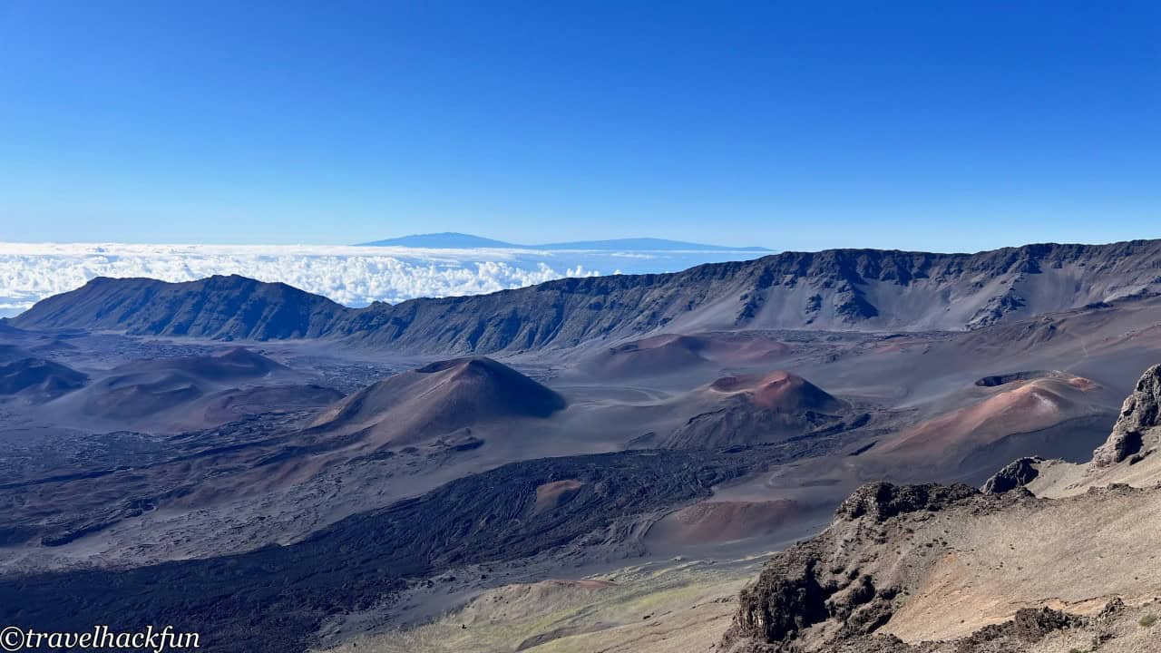
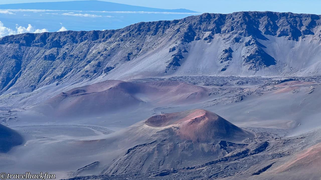
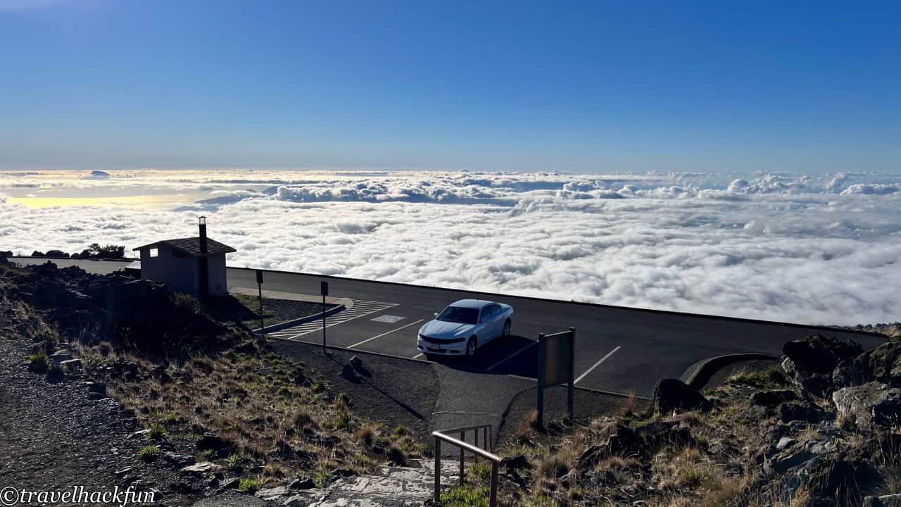
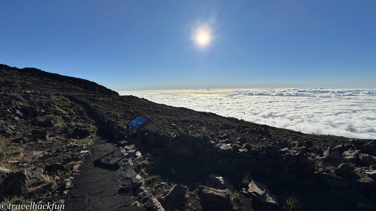
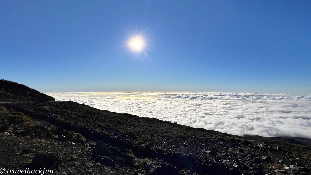
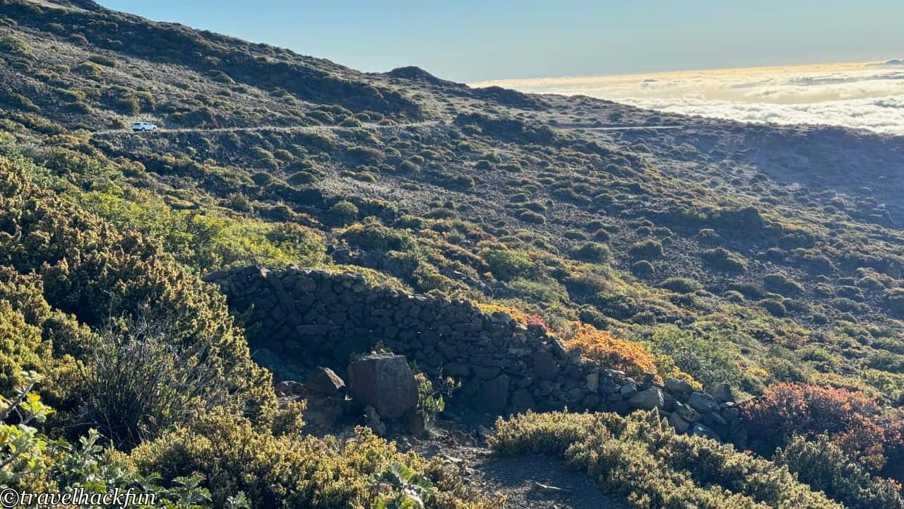
Behind the Kalahaku parking lot, there is a small path initially intended for the Silverwoods nature trail. However, due to climate change, the Silverwoods have diminished, making it instead an excellent spot for observing the sea of clouds.
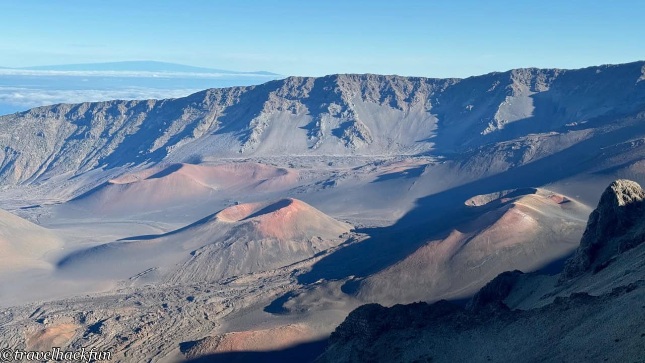
Leleiwi Overlook
Leleiwi Overlook can be reached by a short 0.25-mile trail from the parking area to the viewing platform. "Leleiwi" means "Flying bone" in Hawaiian, and from here you can witness the rapidly changing cloud formations along with volcanic landscapes. We visited twice; the first time we saw a vast and beautiful sea of clouds, and the second time it was clear enough to view the entire central part of Maui.
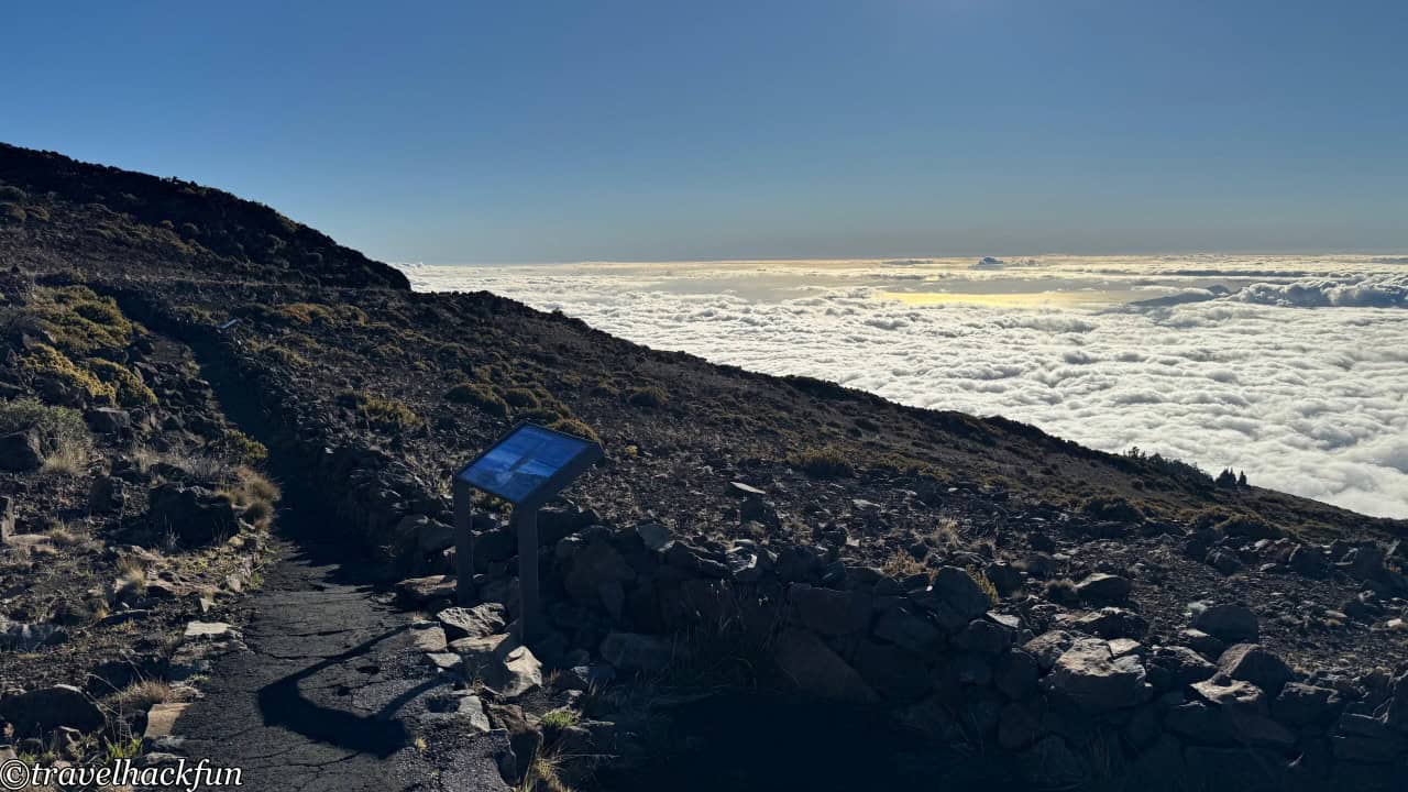
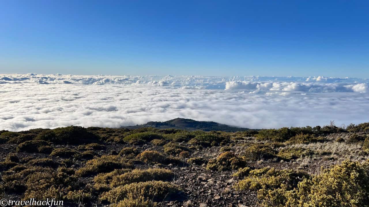
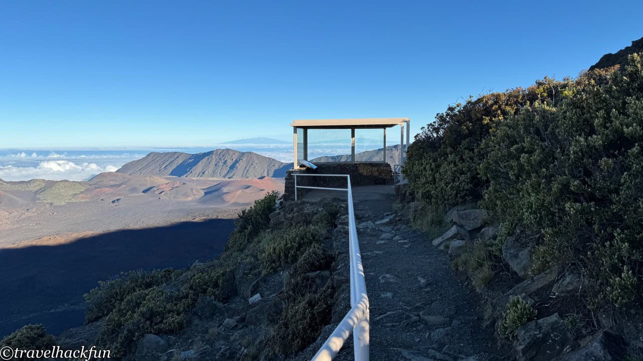
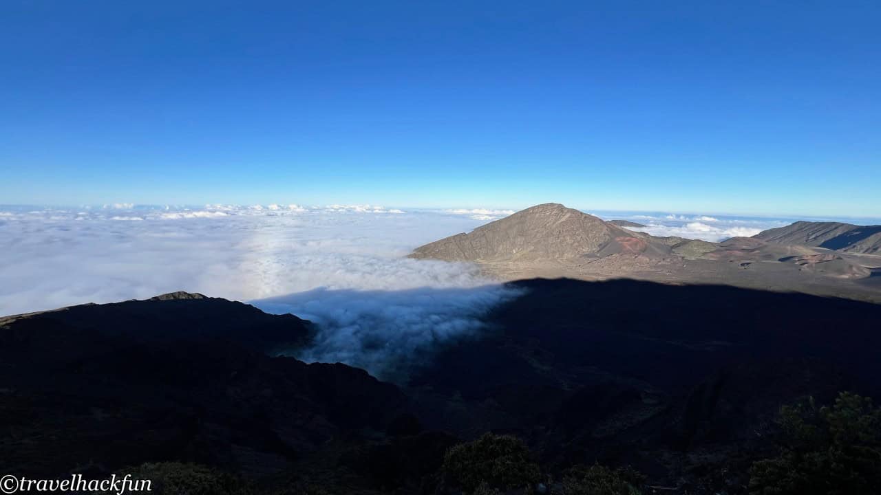
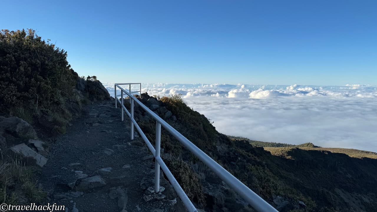
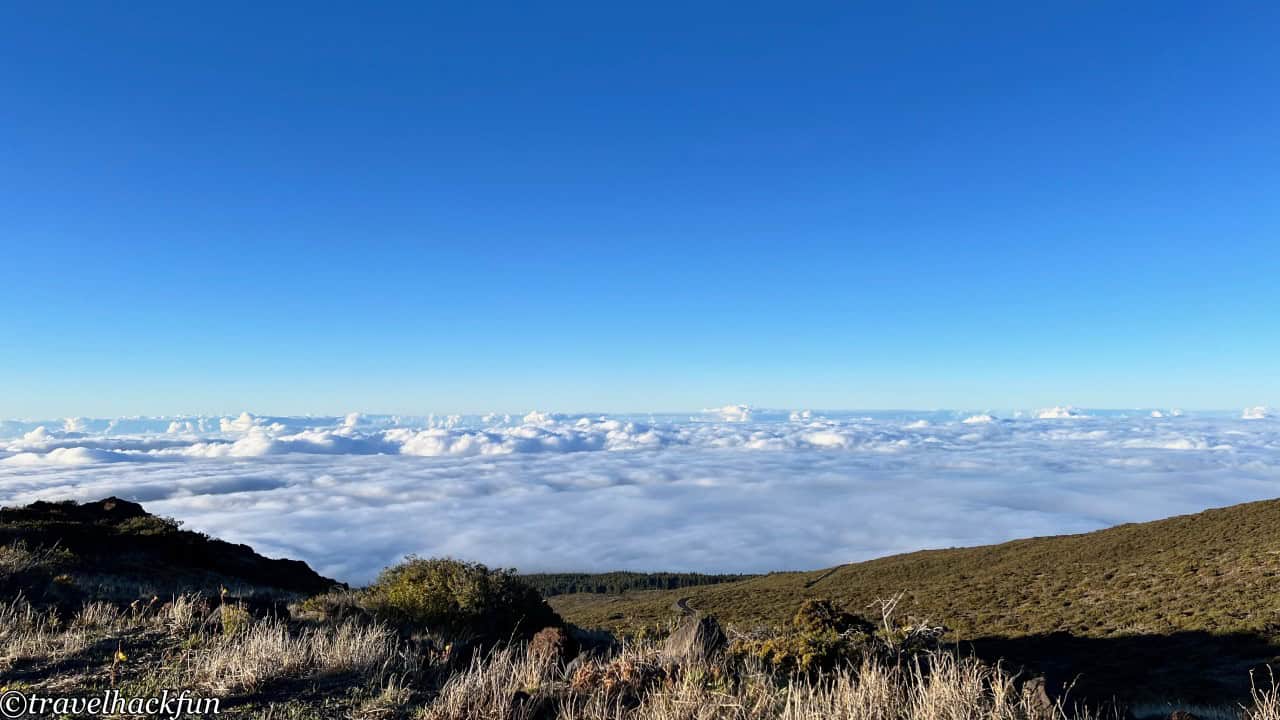
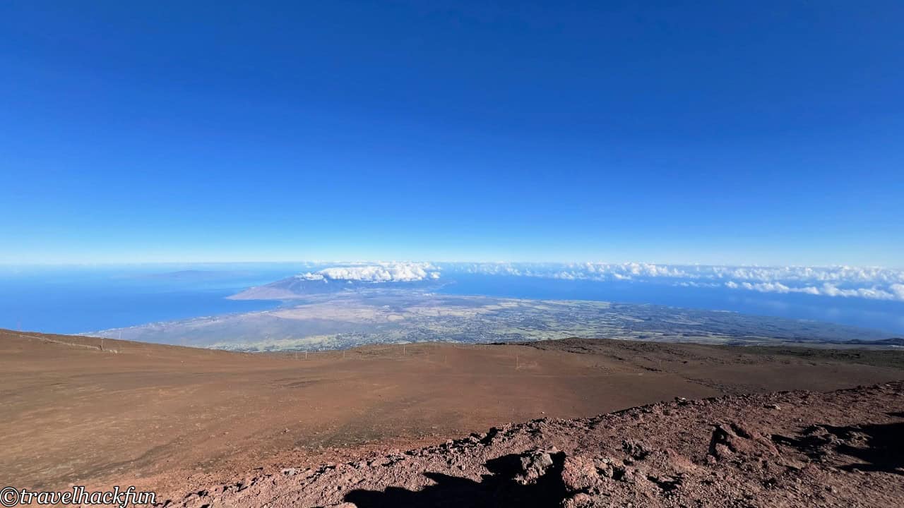
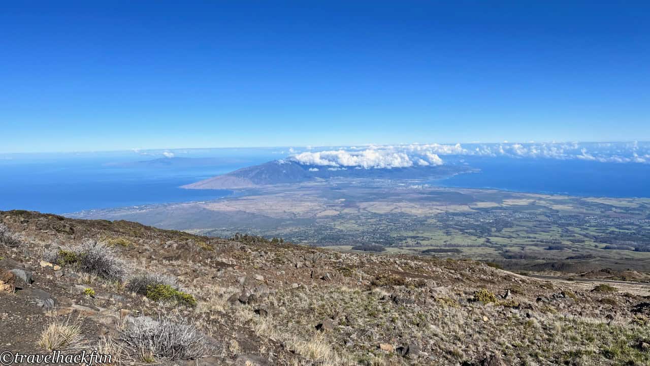
Entering here, there is also a fence left over from an old ranch from the 1800s. Raising cattle at such high altitudes might seem a bit difficult to imagine, yet even now, on the slopes of Maui, it is still possible to occasionally see cattle roaming around.
Headquarter Visitor Center
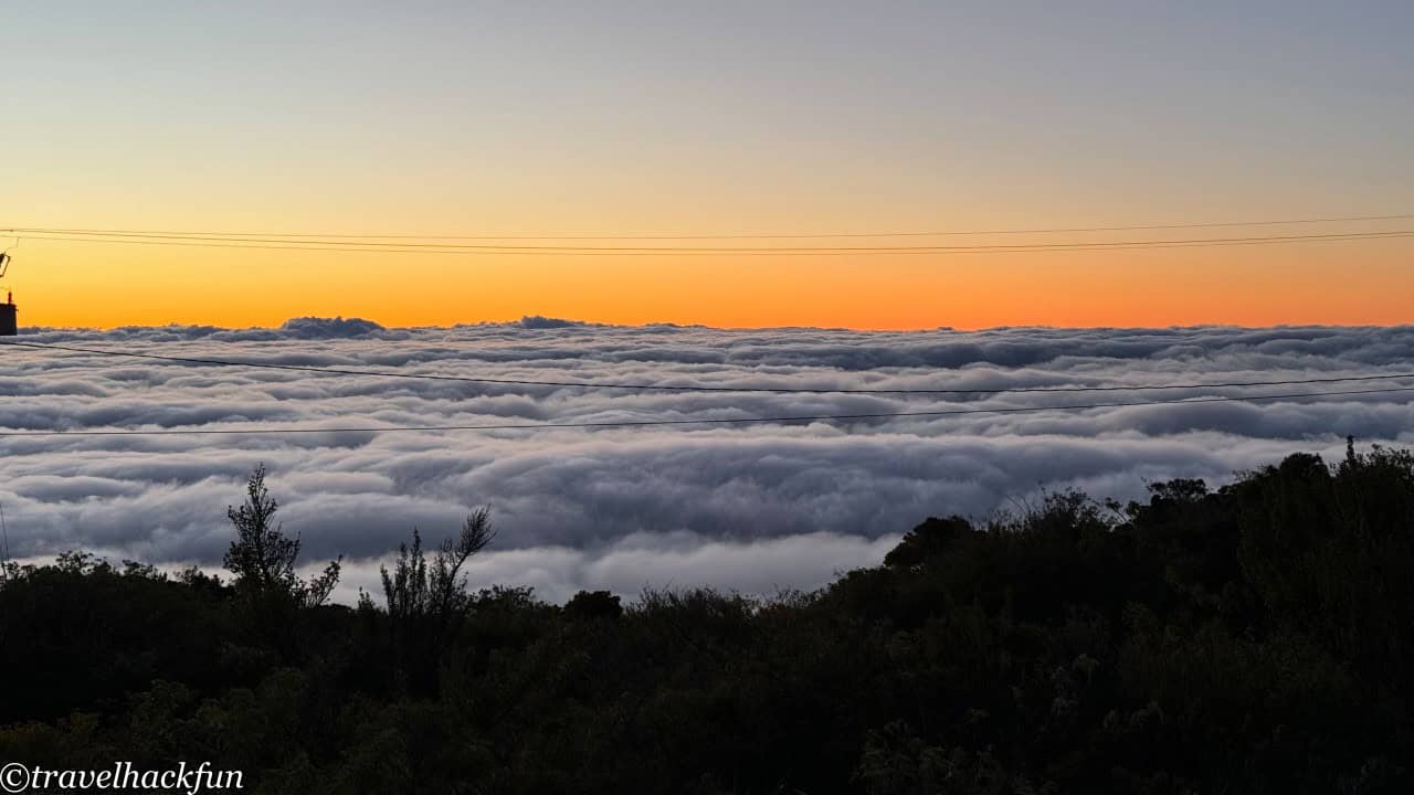
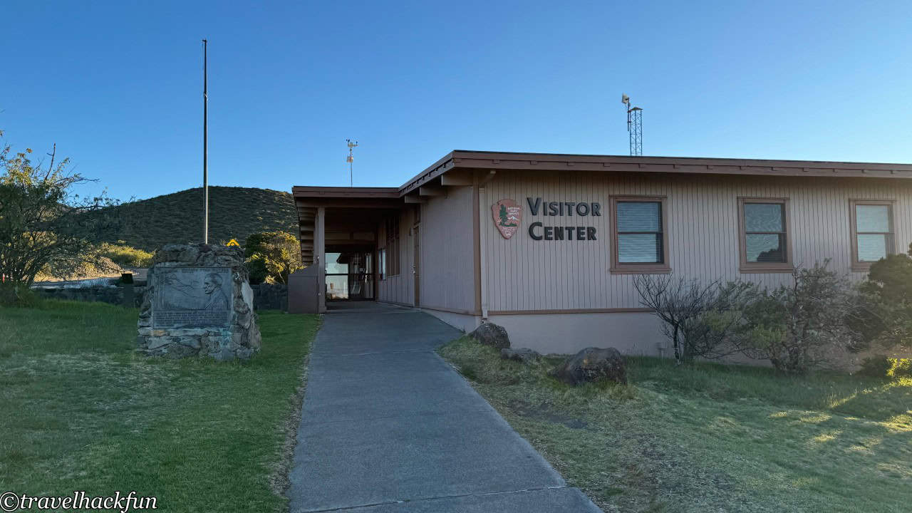
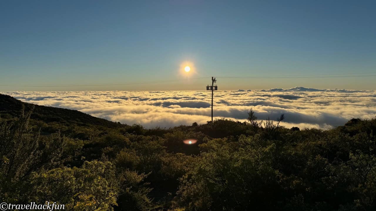
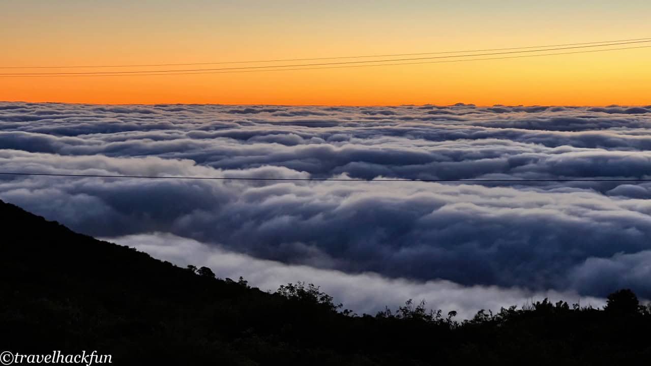
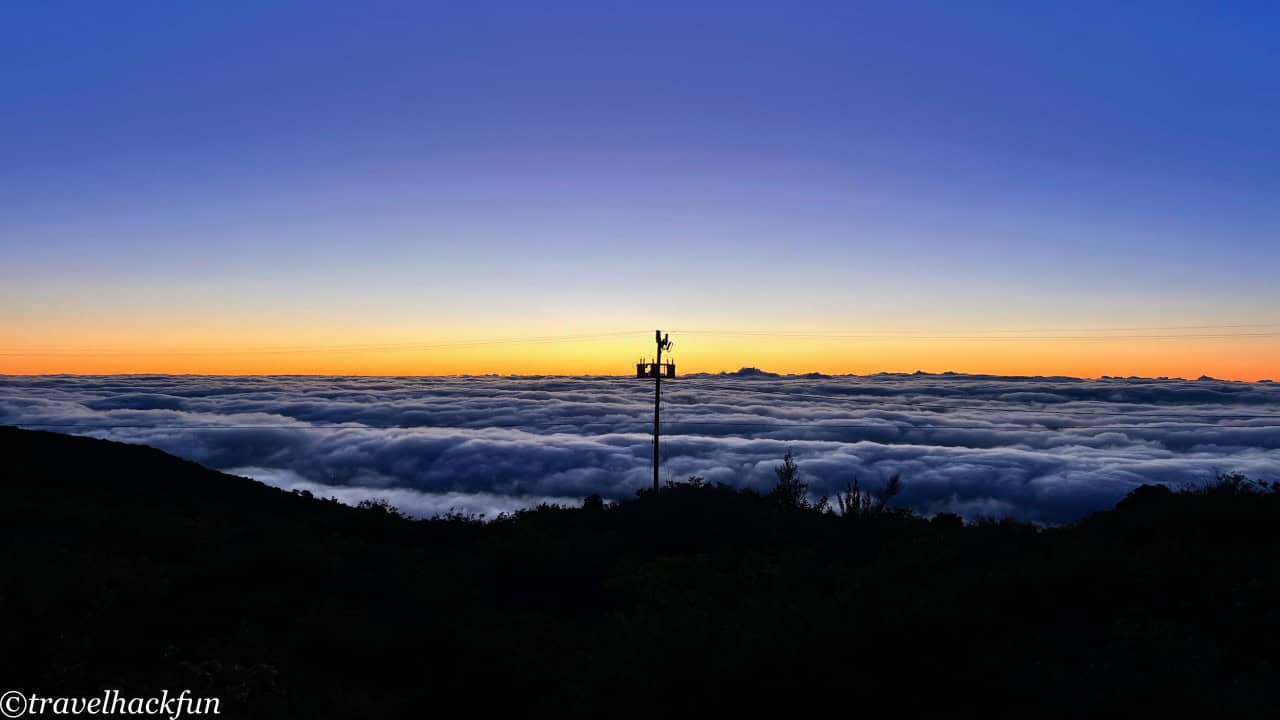
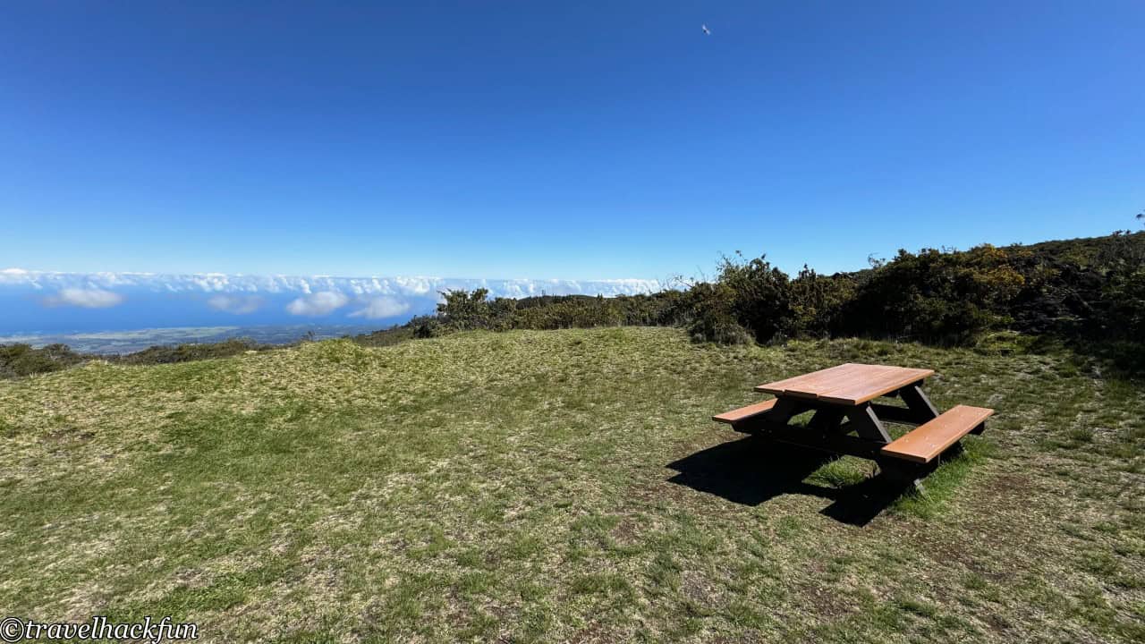
When descending the mountain, you can take a short break at the visitor center at the headquarters. Although this visitor center has far fewer people than the summit, the observation deck next to it is also very suitable for viewing the sea of clouds and the sunset. Beside the visitor center, there is a somewhat hidden picnic area, where resting for a while is quite comfortable.
Hosmer Grove Nature Trail
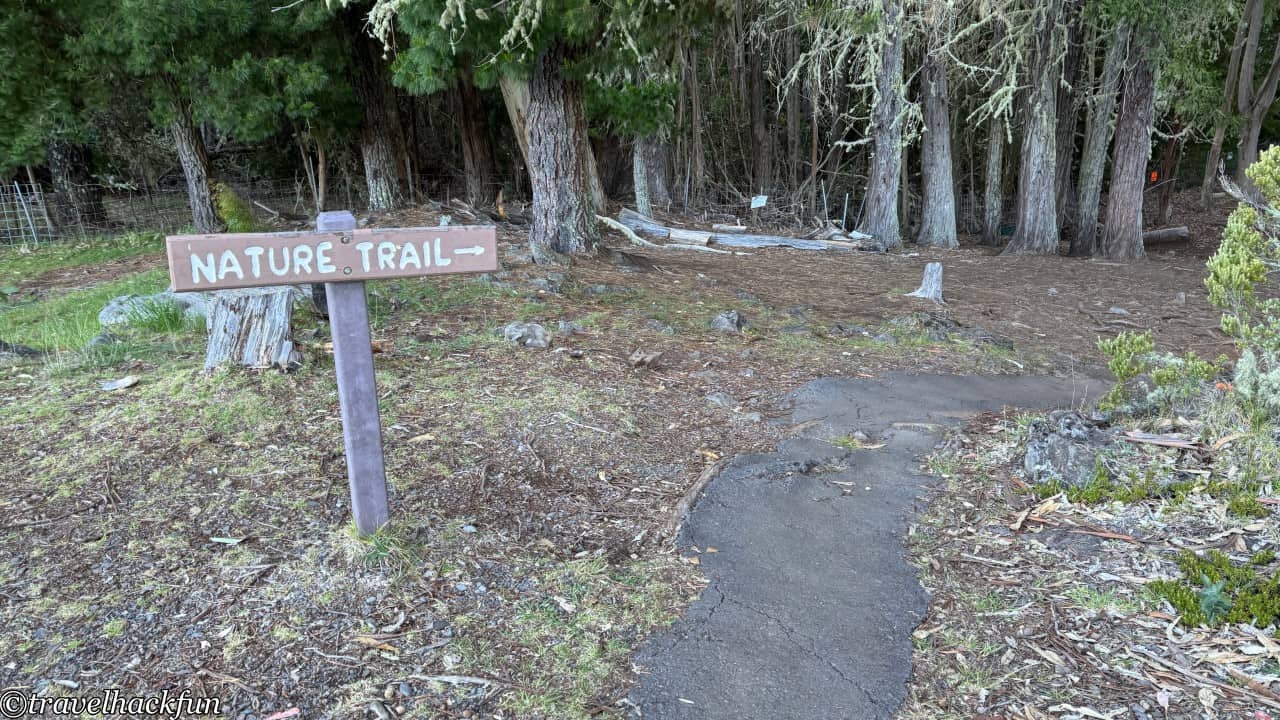
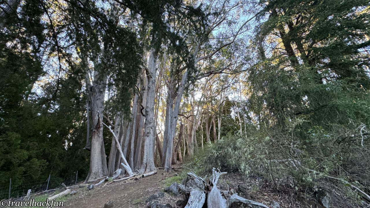
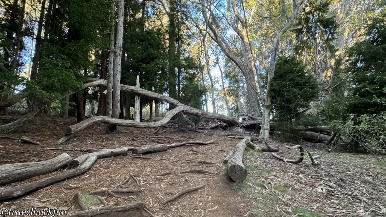
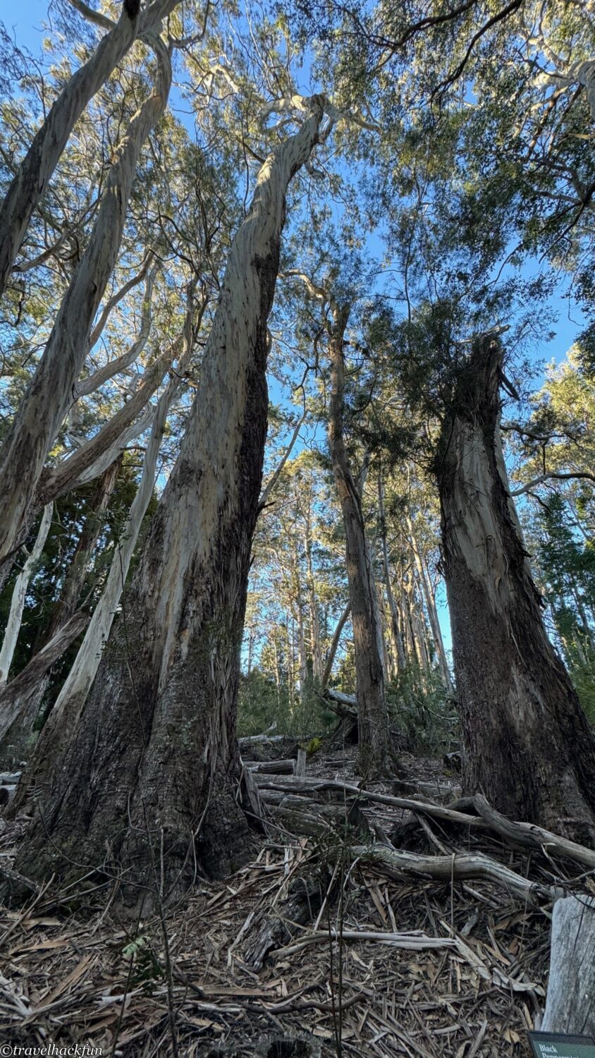
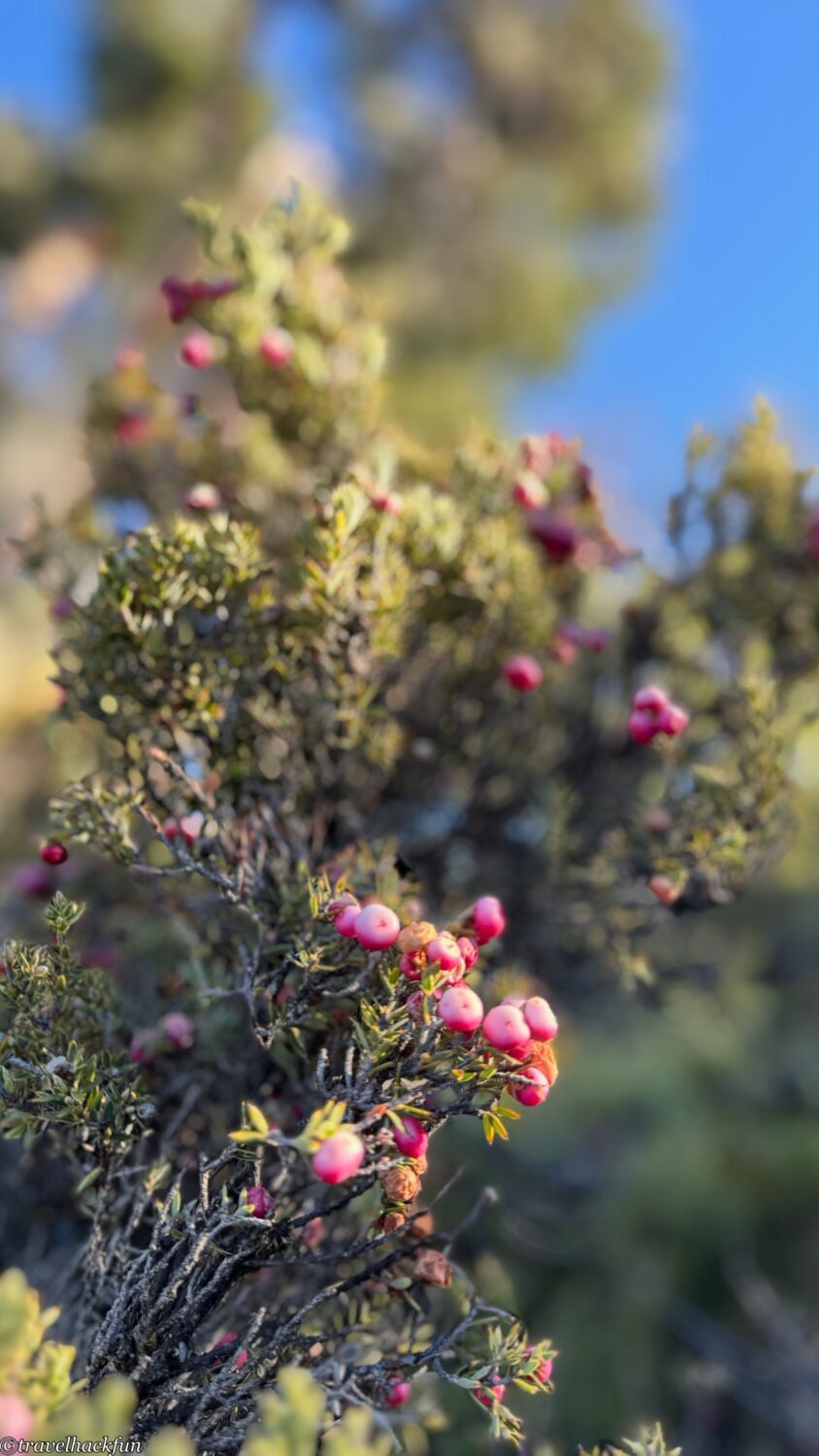
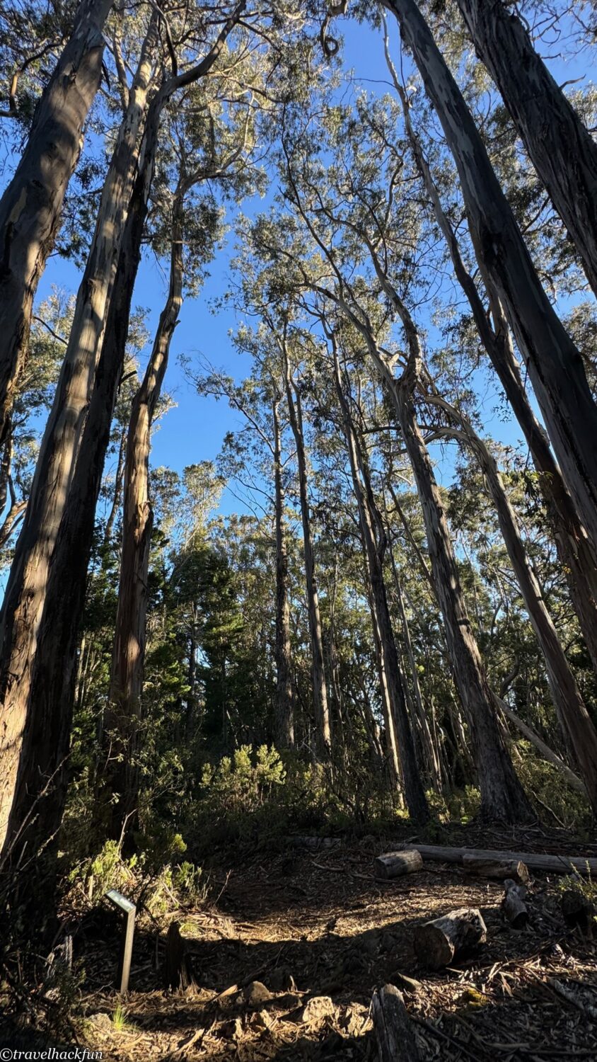
This trail is approximately 0.5 miles long, located next to the Hosmer Grove Campground. If time permits, it's worth taking a stroll. It's an easy, circular trail that runs for 0.45 mile, passing through a high-altitude forest mixed with native and introduced tree species.
Kipahulu Area
The Kipahulu Area is located in the southeastern part of Haleakalā National Park, near the coastline of Maui. This area is completely different from the high-altitude Summit area, far from the city, and is rich in tropical rainforests and spectacular coastlines. You need to drive through the Road to Hana to get there.
Kipahulu Visitor Center
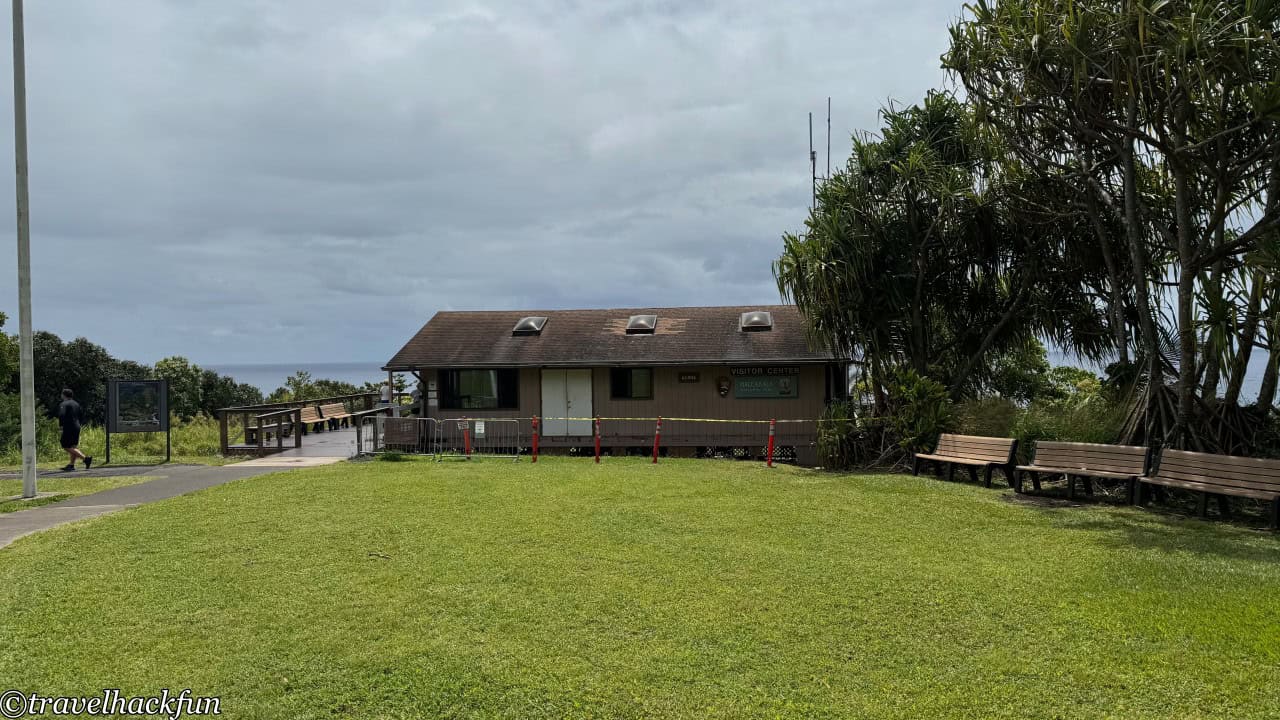
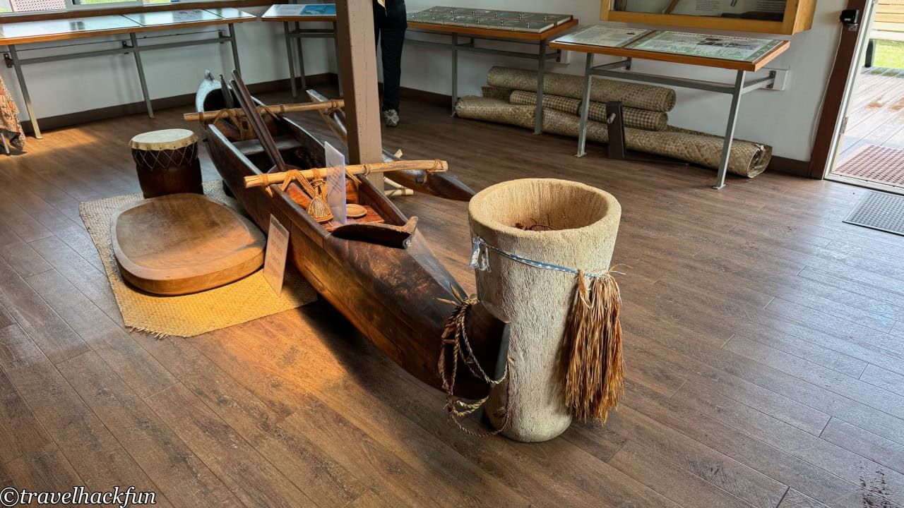
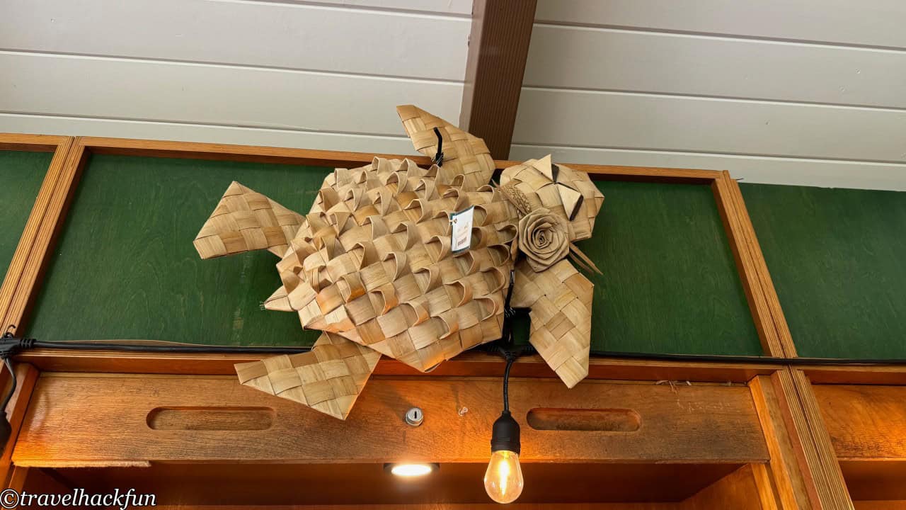
The main attractions in Kipahulu, the Seven Sacred Pools and the Pipiwai Trail, both require entrance through the gateway next to the Kipahulu Visitor Center. Kipahulu is home to the descendants of ancient Hawaiians, and at the Kipahulu Visitor Center, there is more extensive information about the native culture.
Kuloa Point Trail | Seven Sacred Pools
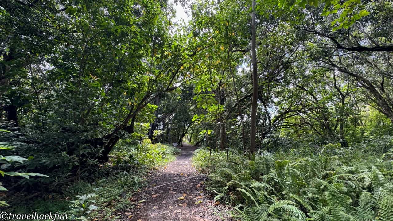
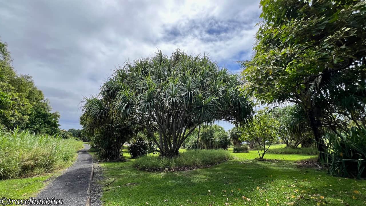
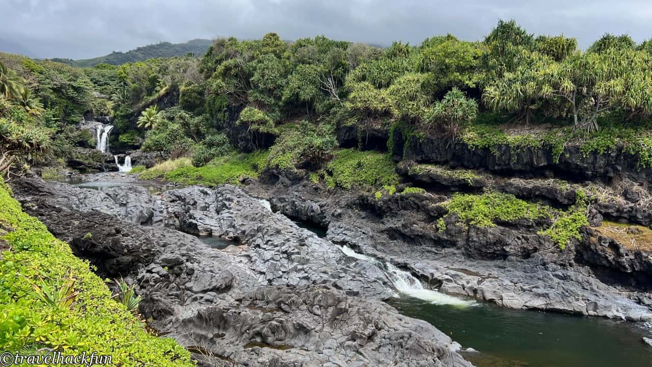
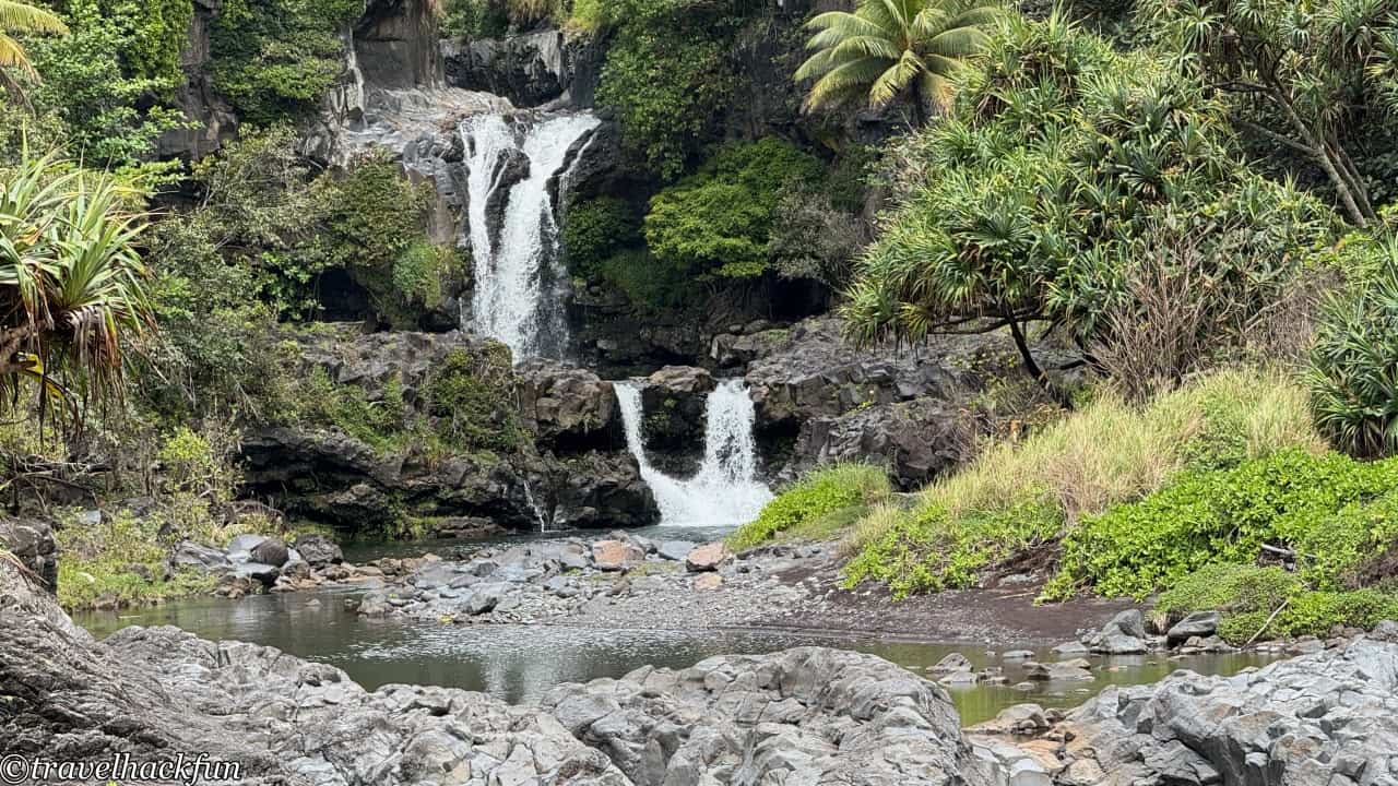
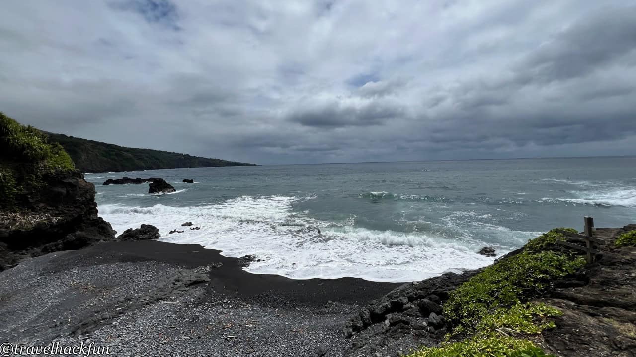
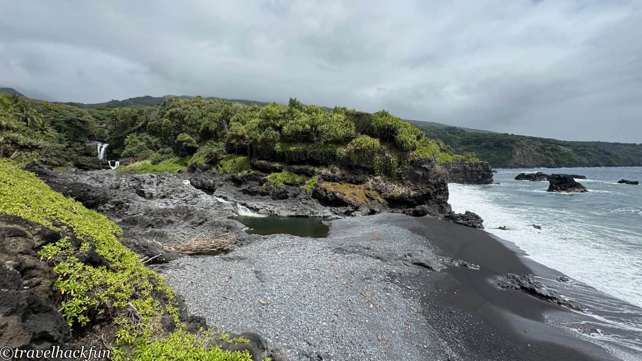
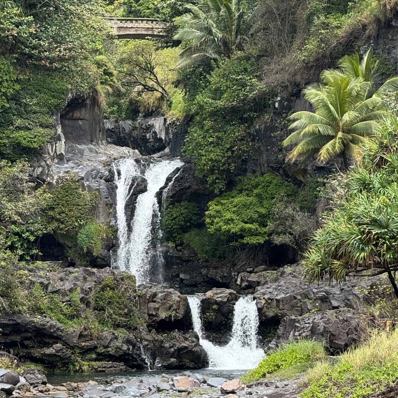
The Kuloa Point Trail is not long, spanning only 0.5 miles. It weaves through a tropical forest and taro fields to reach the coast where the Seven Sacred Pools are located. This is a series of natural pools and waterfalls that ultimately flow into the Pacific Ocean, creating a spectacular sight. However, it is said that the name "Seven Sacred Pools" was fabricated simply as a marketing scheme to attract visitors; though beautiful, this place is not considered sacred by the Hawaiians.
Pipiwai Trail
The Pipiwai Trail is a must-see highlight of the area. Even though the trail is quite long, about 4 miles round trip, and the climb presents a moderately challenging difficulty, requiring 3 to 5 hours to complete, I think it's worth driving the entire Road to Hana without stopping just for this spot.
From the trailhead next to the Visitor Center, it's an uphill climb past the nearby Hawaiian cultural building displays. It's not easy to see the trail from the start. It's best to come prepared.
🛒 How to get ready? hiking boots
🛒 How to get ready? trekking pole
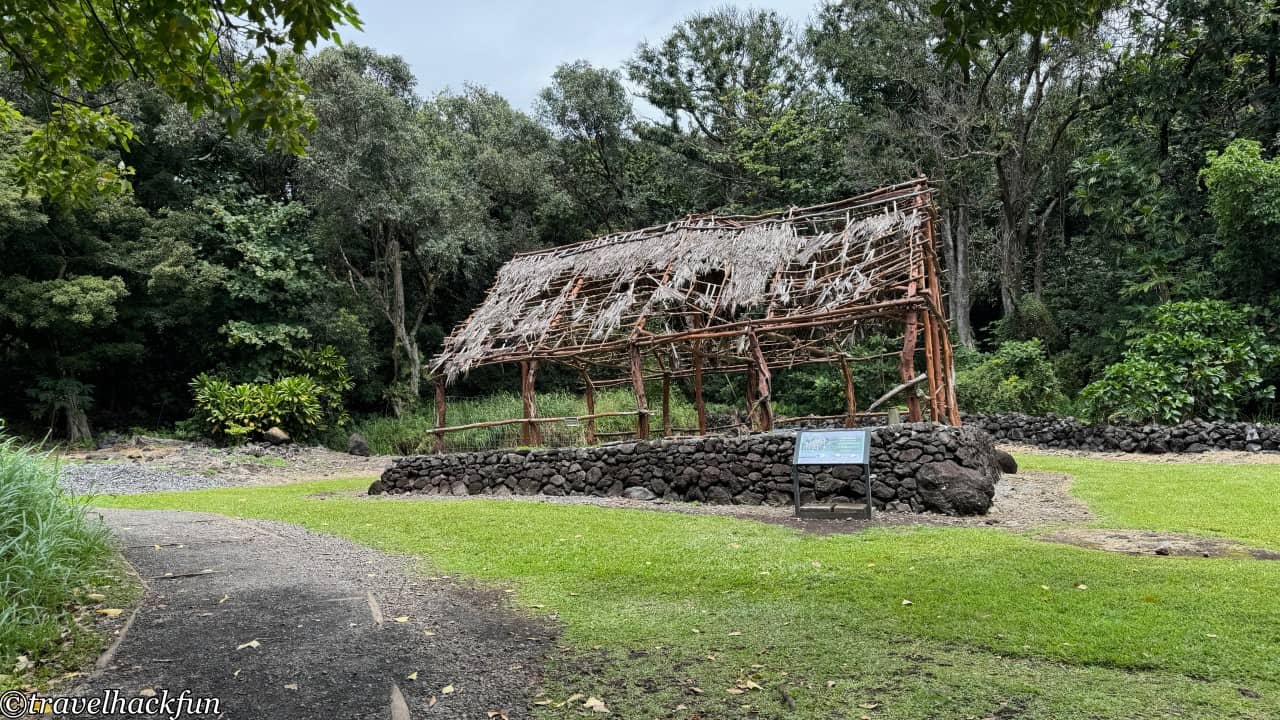
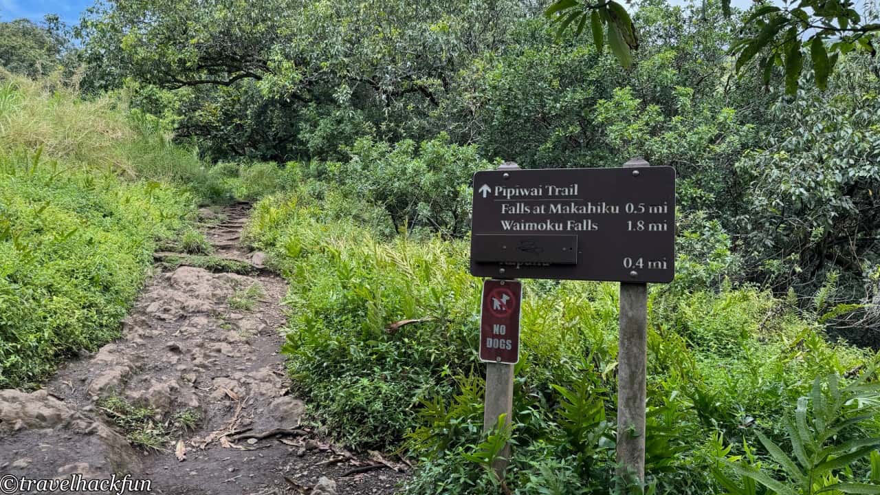
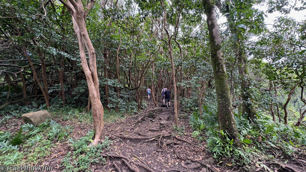
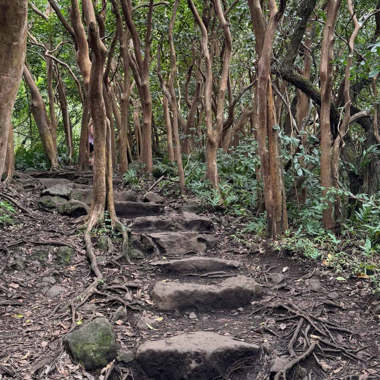
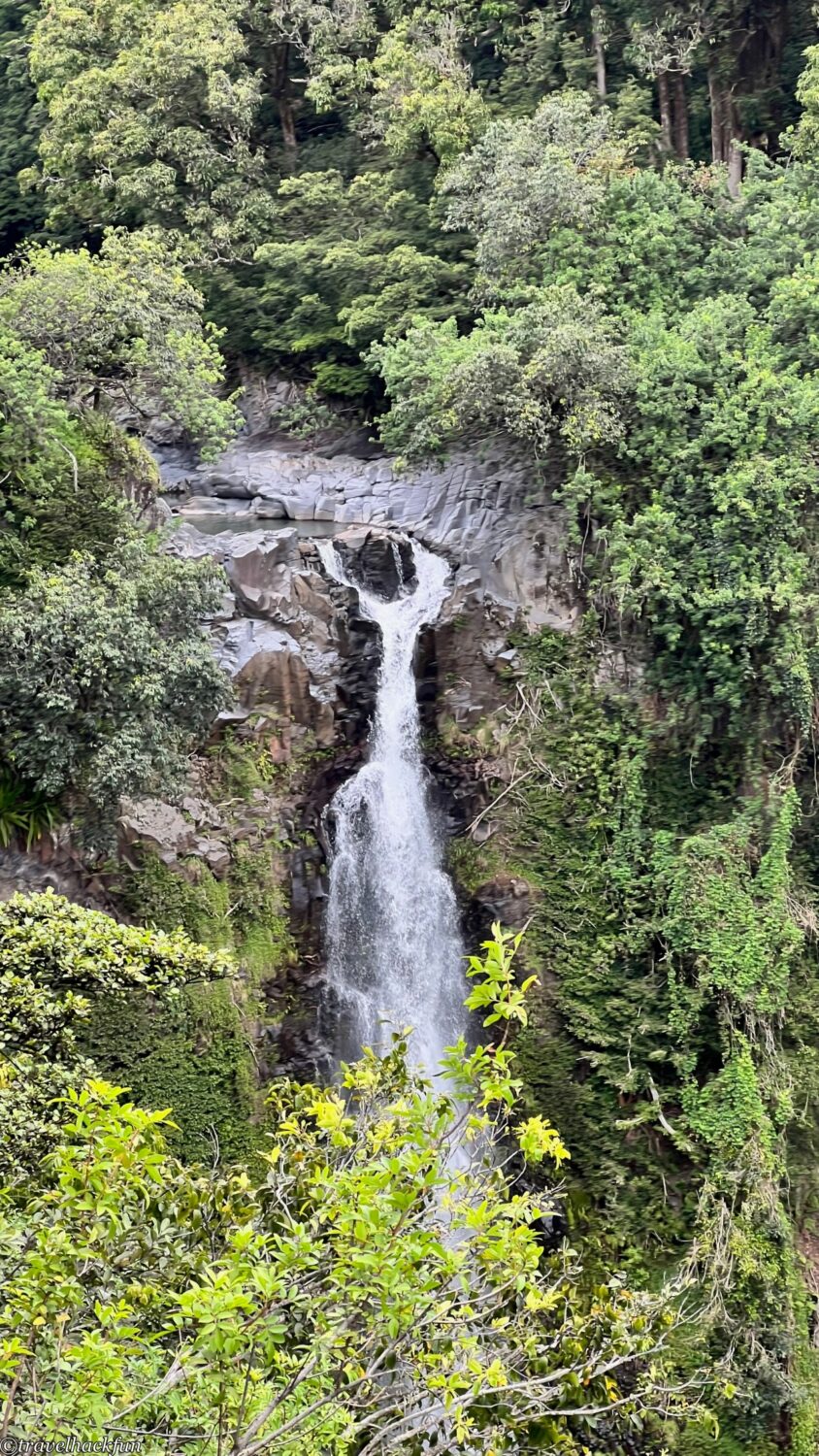
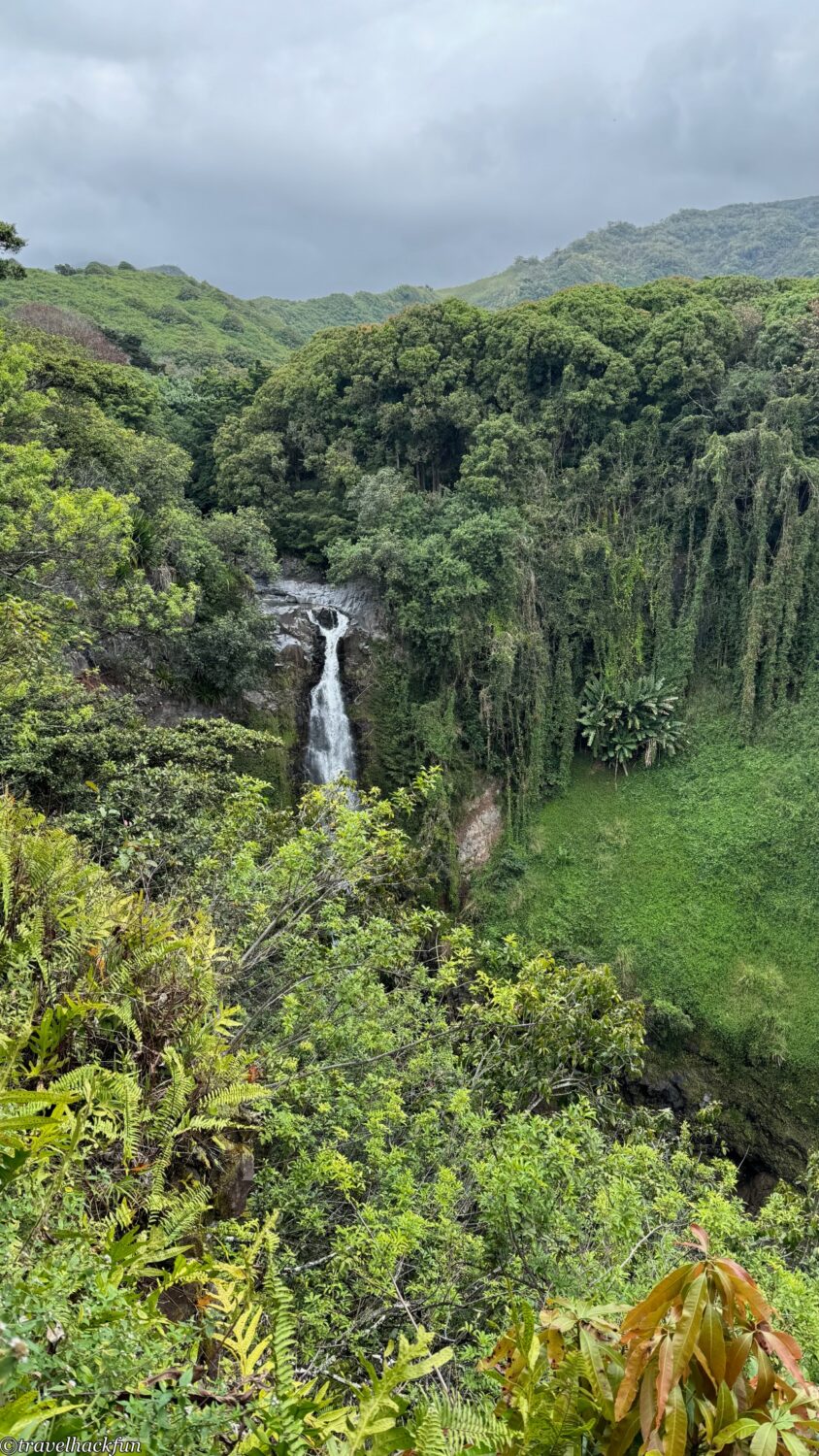
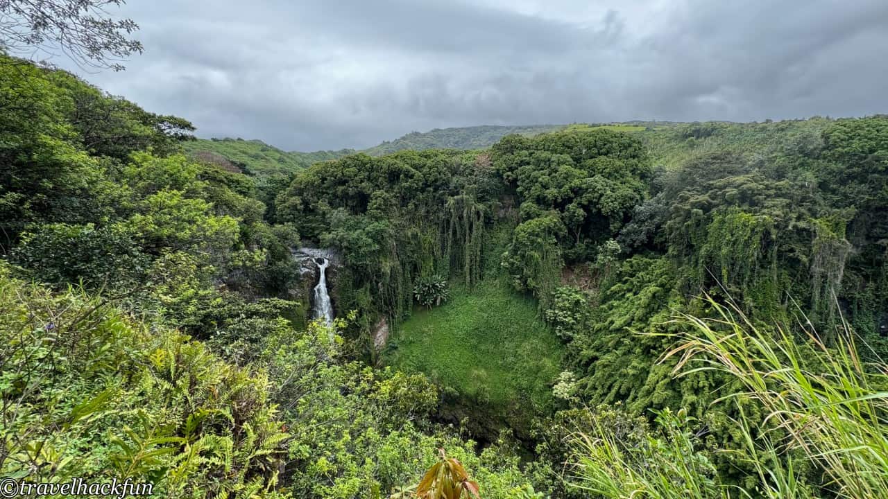
After passing through the dense forest, we reach the first highlight, Makahiku Falls. This waterfall is about 200 feet high, and the view of it cascading down is very spectacular.
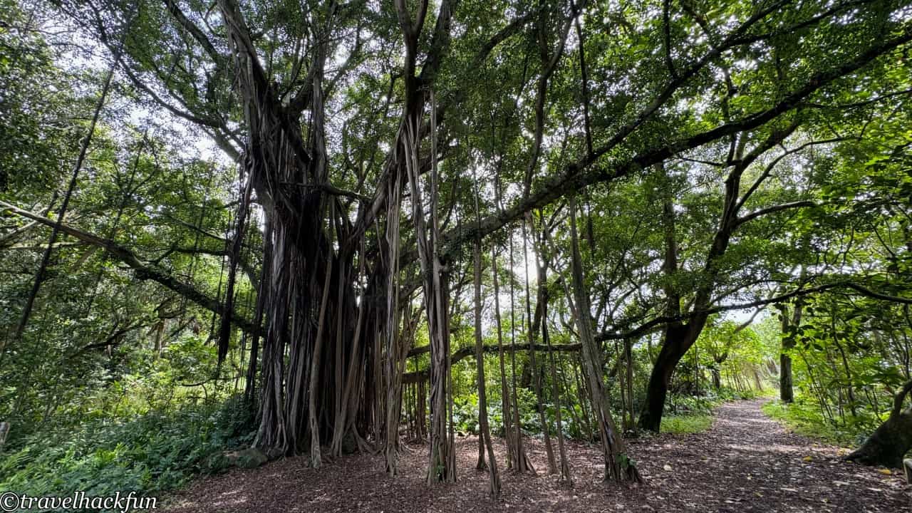
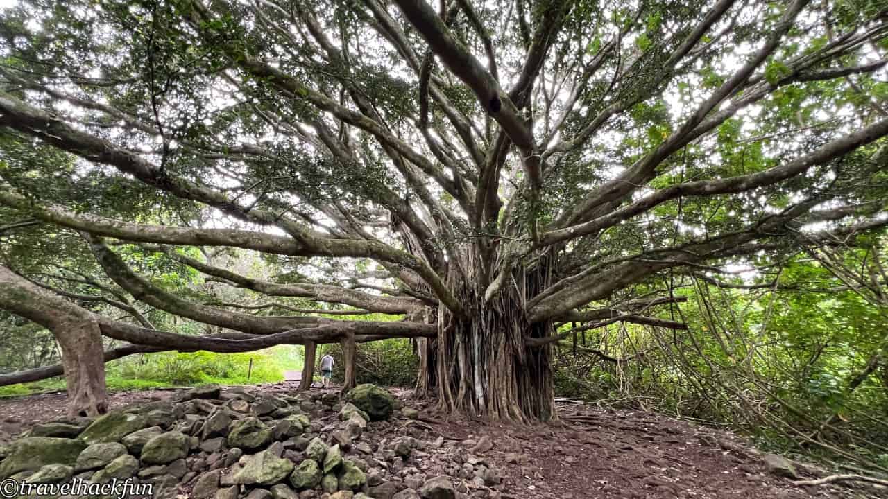
Continuing forward, you will see the second highlight, the incredibly majestic Large Banyan Tree. Its aerial roots are as big as a person.
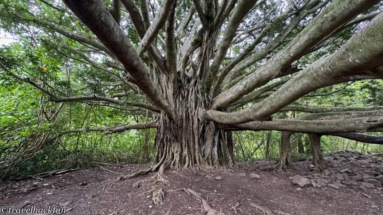
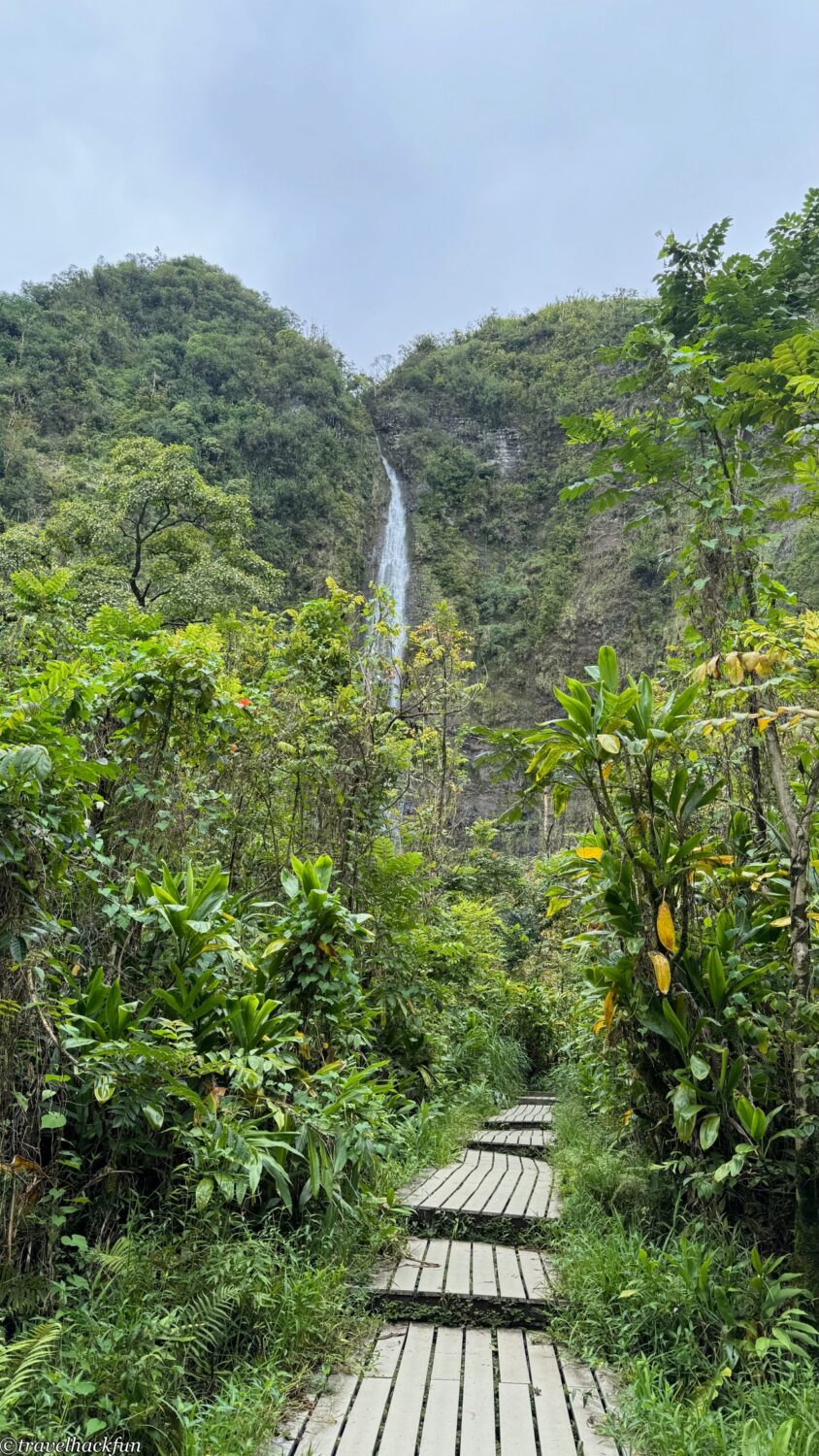
After crossing a bridge, the latter half of the trail is my favorite part. From there, the trail passes through a dense bamboo forest, where the sound of the bamboo swaying in the wind is incredibly soothing and delightful.
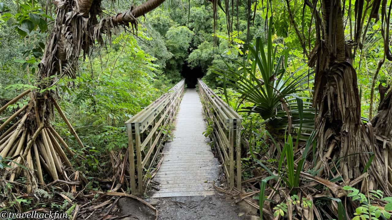
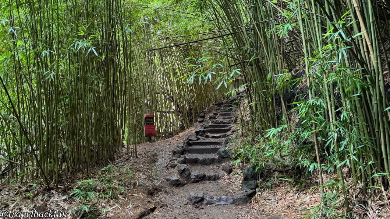
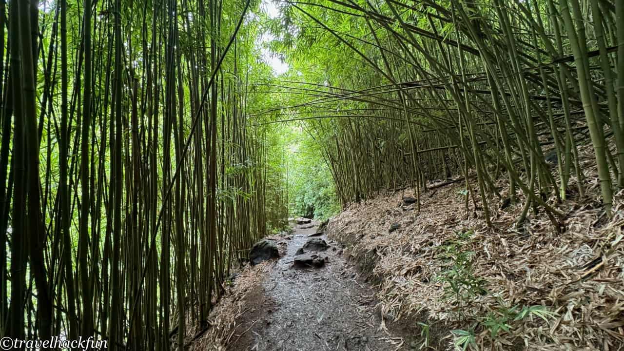
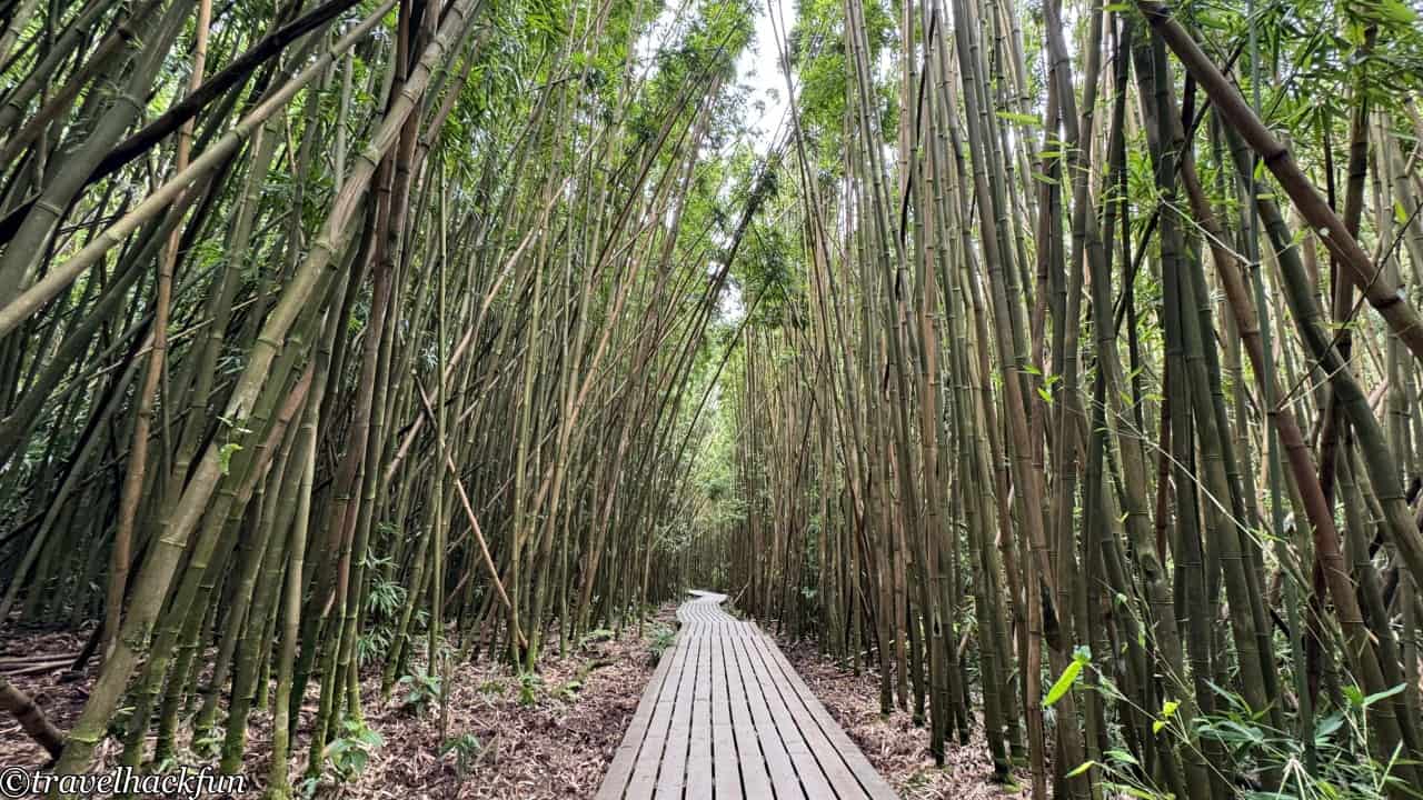
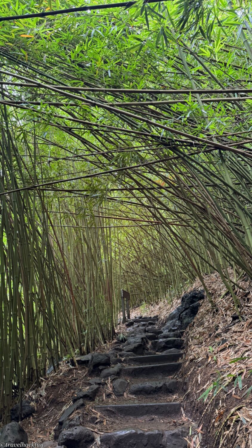
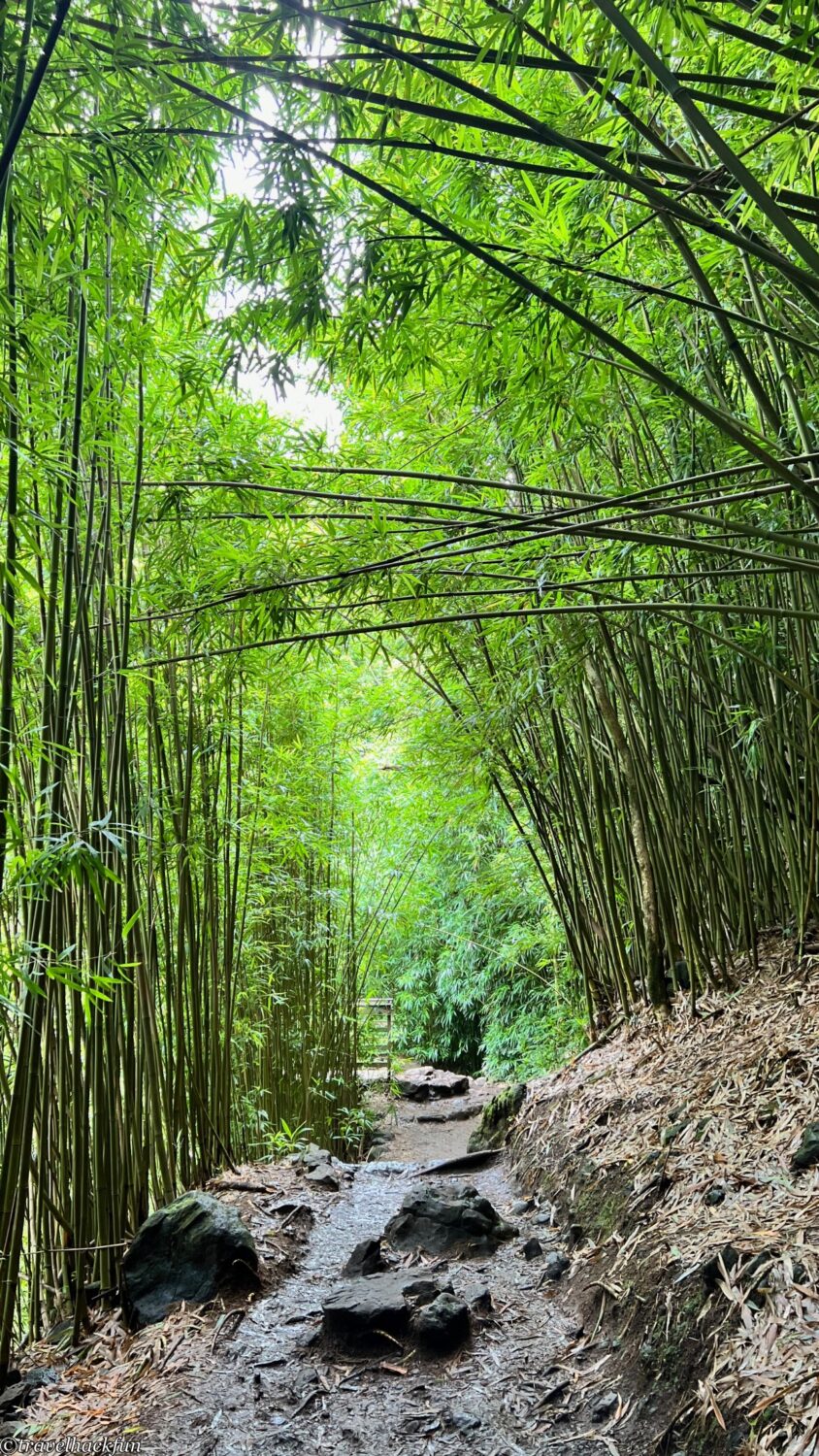
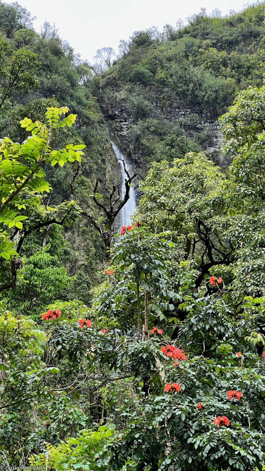
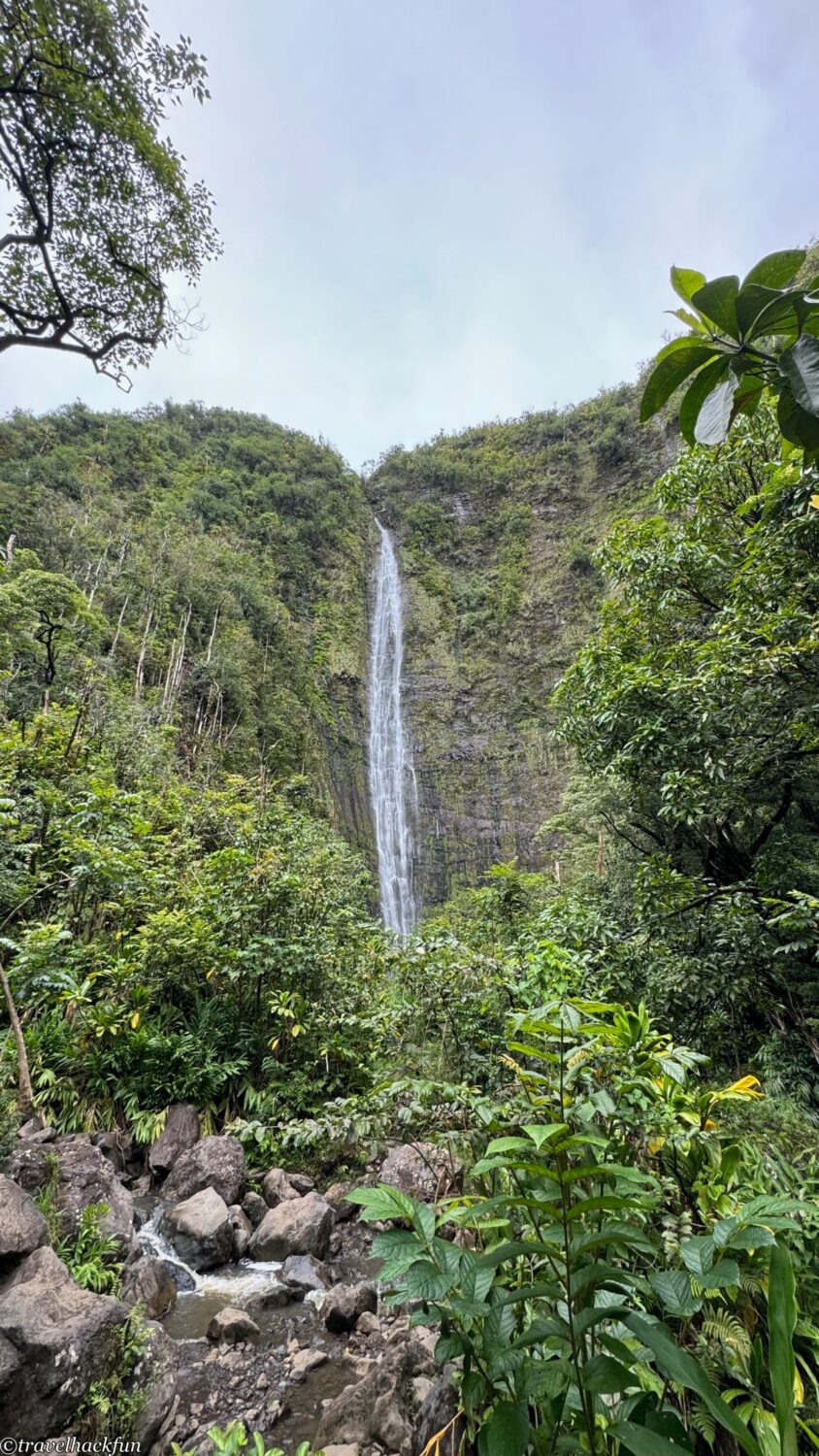
Crossing through the bamboo forest, the trail ends at the magnificent Waimoku Falls, which towers at 400 feet, with a spectacular curtain of water cascading down.
☕ Enjoying my travel notes?
You can Buy me a coffee to support what I do 🙌