Contents
Cape Cod | Introduction
Cape Cod is located in Massachusetts. It got this name because the shape of this peninsula resembles the tail of a codfish. Cape Cod is a narrow peninsula in the eastern part of Massachusetts, boasting the longest stretch of sandy beach on the East Coast. The features of Cape Cod include a rich historical and natural landscape. The entire area of Cape Cod extends from the town of Sandwich to the east all the way to the northernmost tip at Provincetown, as well as south to Martha's Vineyard.
![Massachusetts Weekend Itinerary] Cape Cod 2-Day Tour | Cape Cod National Seashore | Provincetown 1 Cape cod, Cape cod national seashore, Cape Cod, Provincetown 1](https://blog.travelhackfun.com/wp-content/uploads/2022/05/batch_2015-04-25-16-15-38.jpg)
Cape Cod | 2-Day Itinerary
We planned two days for this trip:
- Day 1: The main stay will be in the southern part between Salt Pond Visitor Center and the beach area of Wellfleet, including the three major beaches from south to north: Coast Guard Beach, Nauset Light Beach, and Marconi Beach. In the evening, head to Provincetown at the northern end for accommodation. The route from Salt Pond Visitor Center to the eastern part of Cape Cod in Provincetown (as shown in the picture) is the most popular tourist scenic area in Massachusetts. Besides the countless beaches and beach trails on this long sandy coast, there are eight historically significant lighthouses, which provide venues for almost all imaginable outdoor recreational activities. This area is particularly popular for families.
Find a stay in Provincetown:
- Day 2: The northern area includes Race Point Beach, Herring Cove Beach, and Provincetown. The main attractions in the northern part of Cape Cod can basically be covered by circling around Cape Cod past Provincetown along MA-6 and Race Point Road. If you come during the off-season with fewer cars and people, even a leisurely stroll on the beach takes only about two hours to complete.
Cape Cod | Attractions
Cape Cod National Seashore
The entire Cape Cod peninsula was formed by sediments carried by past glaciers. The southern part is full of attractions like beaches and lighthouses, making it perfect for water activities. If you prefer hiking, the Salt Pond area and the Fort Hill area have several short trails under one mile. Additionally, there are two bike trails, each around 2 miles long: the Nauset Trail and the Head of the Meadow Trail, which are great for biking as well.
Salt Pond Visitor Center
Upon arriving at the Salt Pond Visitor Center, you officially enter the Cape Cod National Seashore. Inside the Salt Pond Visitor Center, there are exhibitions about the history of Cape Cod, so it's worth spending a few minutes there. Outside the visitor center, there is a reconstructed wooden boat that was essential for the livelihood of past Cape Cod residents. These boats had narrow hulls to navigate the tight waterways. These boats were used to transport hay collected from the shores back to feed the cows, and it is said that the milk produced had a salty taste from the seawater. After leaving the visitor center, you can head south towards the beach.
![Massachusetts Weekend Itinerary] Cape Cod 2 Days | Cape Cod National Seashore | Provincetown 2 Cape cod, Cape cod national seashore, Cape Cod, Provincetown 2](https://blog.travelhackfun.com/wp-content/uploads/2022/05/batch_2015-04-25-14-34-40.jpg)
![Massachusetts Weekend Itinerary] Cape Cod 2-Day Tour | Cape Cod National Seashore | Provincetown 3 Cape cod, Cape cod national seashore, Cape Cod, Provincetown 3](https://blog.travelhackfun.com/wp-content/uploads/2022/05/batch_2015-04-25-14-37-18.jpg)
Doane Rock
On the way to the beaches, you will pass by Doane Rock. Although it may not look remarkable, this large rock is actually one of the largest rocks in New England that was scoured down by glaciers in ancient times.
![Massachusetts Weekend Itinerary] Cape Cod 2 Days | Cape Cod National Seashore | Provincetown 4 Cape cod, Cape cod national seashore, Cape Cod, Provincetown 4](https://blog.travelhackfun.com/wp-content/uploads/2022/05/batch_2015-04-25-14-49-19.jpg)
Coast Guard Beach
Coast Guard Beach ranks among the top ten beaches in the United States. The day we arrived, it seemed that the visitors had left early because the weather was very cold. However, this long sandy beach is very popular during the summer.
To the south of Coast Guard Beach, there used to be a small house called the Outermost House, which is still marked on maps. It was built in 1927 by writer and naturalist Henry Beston when he came here to observe the tides. It was known as the easternmost coastal house in the United States. Beston lived there for an entire year and wrote the famous book The Outermost House, which describes the coastal landscape of Cape Cod. However, this house was destroyed in a storm in 1978, so it can no longer be seen today.
![Massachusetts Weekend Itinerary] Cape Cod 2-Day Tour | Cape Cod National Seashore | Provincetown 5 Cape cod, Cape cod national seashore, Cape Cod, Provincetown 5](https://blog.travelhackfun.com/wp-content/uploads/2022/05/batch_2015-04-25-14-56-48.jpg)
Nauset Light Beach | Three Sisters Lighthouse
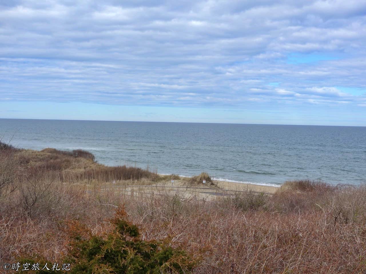
Continuing to enjoy the ocean view along Ocean View Drive heading north, you will reach Nauset Light Beach. The beach is named after the Nauset Light lighthouse, a historic red and white striped lighthouse that has been guarding this coast since 1877.
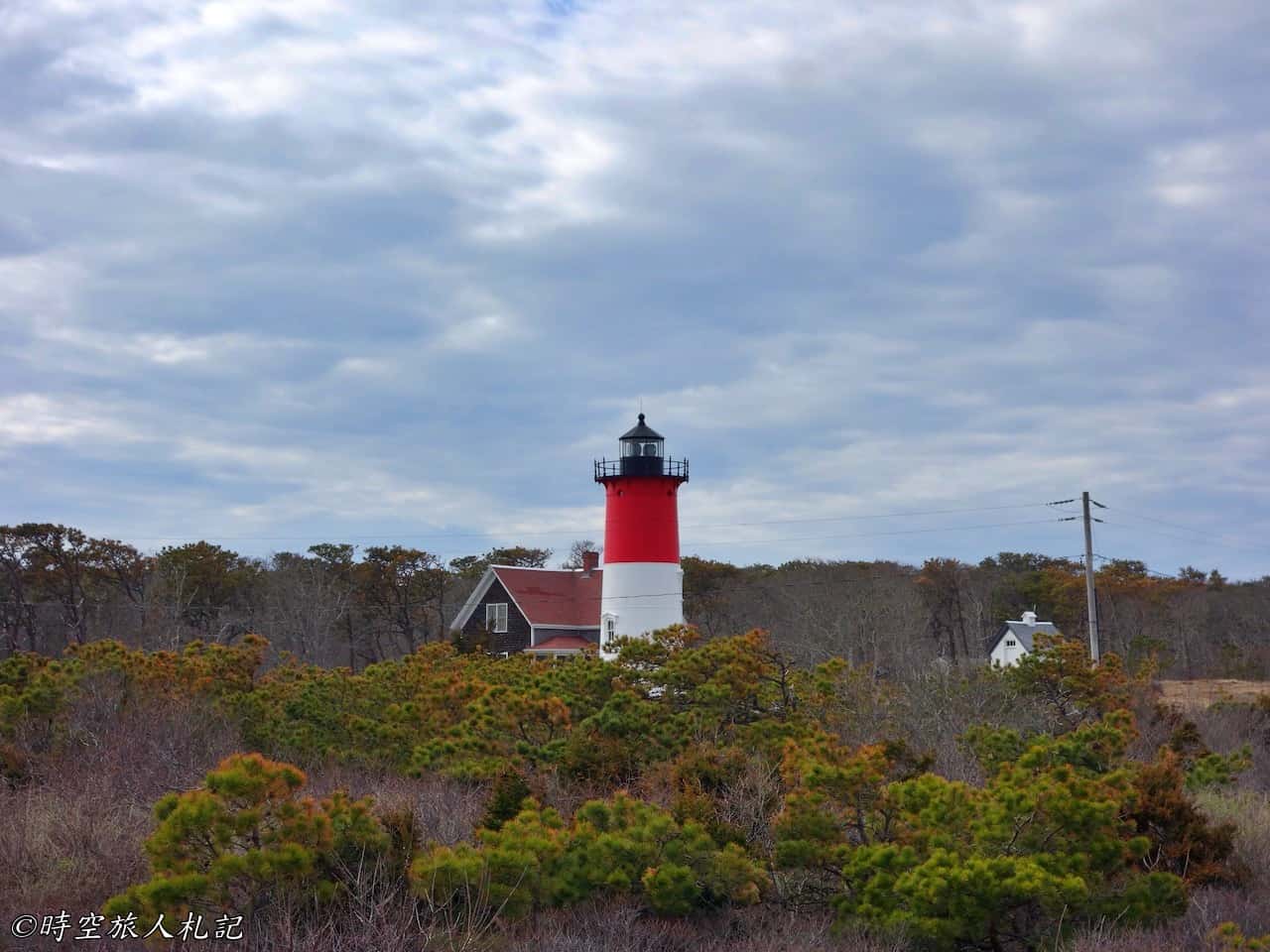
![Massachusetts Weekend Itinerary] Cape Cod 2-Day Tour | Cape Cod National Seashore | Provincetown 8 Cape cod, Cape cod national seashore, Cape Cod, Provincetown 8](https://blog.travelhackfun.com/wp-content/uploads/2022/05/batch_2015-04-25-15-16-03.jpg)
Even more interesting are the three small lighthouses to the west of Nauset Light, called the Three Sisters Lighthouse. These three lighthouses used to be on the coast, serving the current role of Nauset Light, and were later moved inland for preservation. This configuration of three lighthouses is now quite rare. Not far from their original location are the remnants of an undersea telegraph cable. This undersea telegraph cable began operation in 1879, stretching 3,000 miles and connecting the United States with the European continent. It is easy to imagine that in the past, before the advent of telephones and the internet, such communication cables held extremely important military and commercial significance.
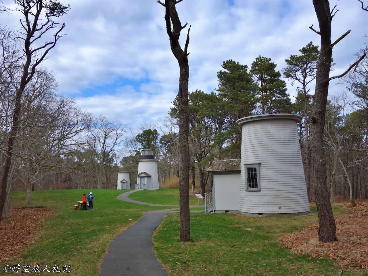
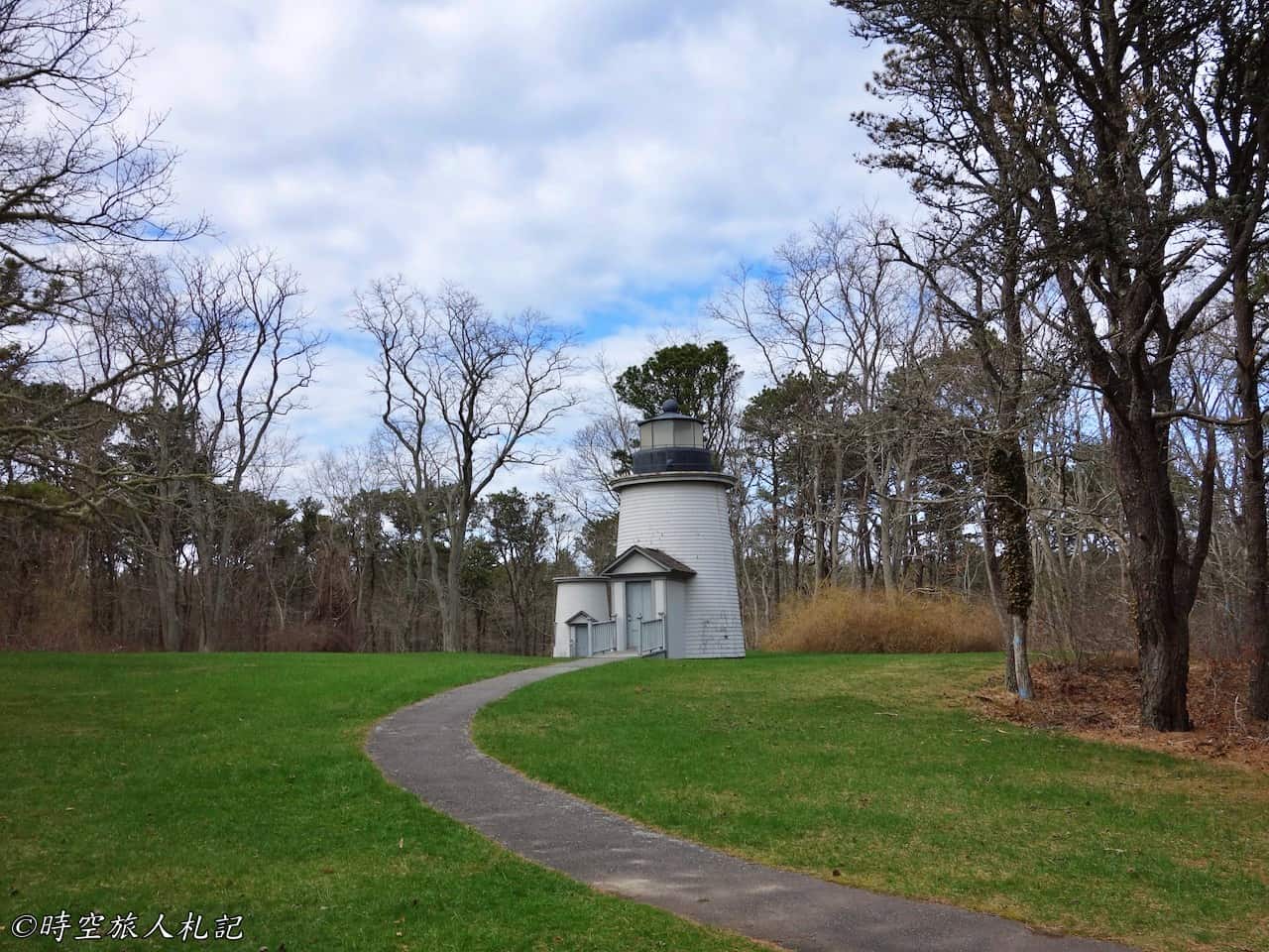
![Massachusetts Weekend Itinerary] Cape Cod 2-Day Tour | Cape Cod National Seashore | Provincetown 11 Cape cod, Cape cod national seashore, Cape Cod, Provincetown 10](https://blog.travelhackfun.com/wp-content/uploads/2022/05/batch_2015-04-25-15-26-29.jpg)
Marconi Beach
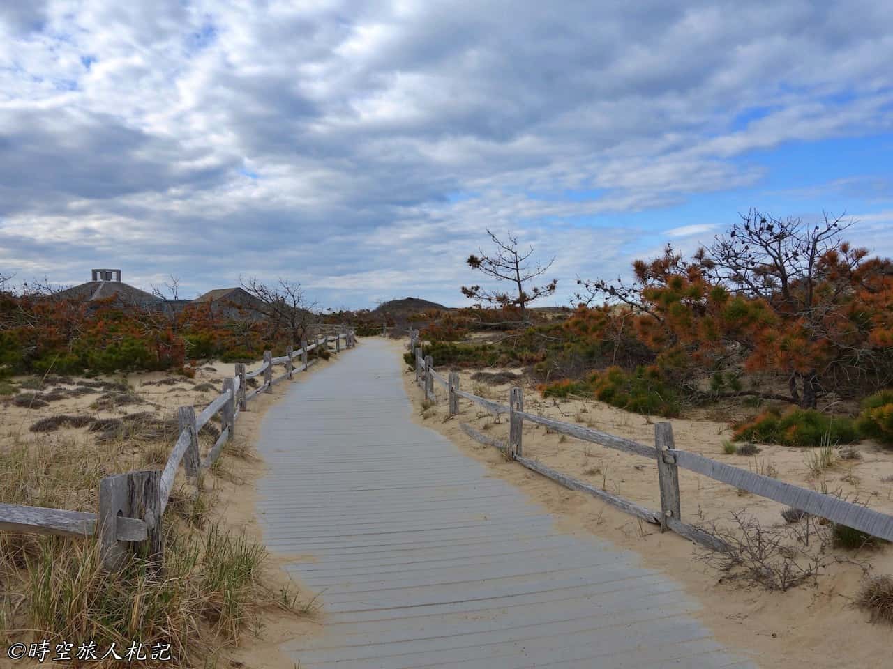
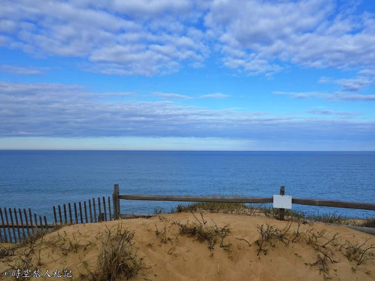
Marconi Beach, located near the mid-point of the peninsula, is named after the Italian engineer and Nobel Prize-winning physicist Gugliemo Marconi. It commemorates his successful reception of the first transatlantic telegraph from London here in 1903. The location of the former Marconi wireless station is still marked today. The trails and the beach here are well-maintained, large, and spacious.
![Massachusetts Weekend Itinerary] Cape Cod 2-Day Tour | Cape Cod National Seashore | Provincetown 13 Cape cod, Cape cod national seashore, Cape Cod, Provincetown 12](https://blog.travelhackfun.com/wp-content/uploads/2022/05/batch_2015-04-25-15-43-30.jpg)
![Massachusetts Weekend Itinerary] Cape Cod 2-Day Tour | Cape Cod National Seashore | Provincetown 14 Cape cod, Cape cod national seashore, Cape Cod, Provincetown 13](https://blog.travelhackfun.com/wp-content/uploads/2022/05/batch_2015-04-25-15-43-47.jpg)
![Massachusetts Weekend Itinerary] Cape Cod 2-Day Tour | Cape Cod National Seashore | Provincetown 16 Cape cod, Cape cod national seashore, Cape Cod, Provincetown 15](https://blog.travelhackfun.com/wp-content/uploads/2022/05/batch_2015-04-25-16-02-11.jpg)
Race Point Beach
All the way north to the northernmost beach, Race Point Beach, looking west, you can see Race Point Lighthouse, the northernmost lighthouse landmark of Cape Cod. Due to its location, it is an ideal spot for watching the sunset.
![Massachusetts Weekend Itinerary] Cape Cod 2-Day Tour | Cape Cod National Seashore | Provincetown 17 Cape cod, Cape cod national seashore, Cape Cod, Provincetown 16](https://blog.travelhackfun.com/wp-content/uploads/2022/05/batch_2015-04-26-10-42-29.jpg)
![Massachusetts Weekend Itinerary] Cape Cod 2-Day Tour | Cape Cod National Seashore | Provincetown 18 Cape cod, Cape cod national seashore, Cape Cod, Provincetown 17](https://blog.travelhackfun.com/wp-content/uploads/2022/05/batch_2015-04-26-10-42-44.jpg)
Beach Forest Trail
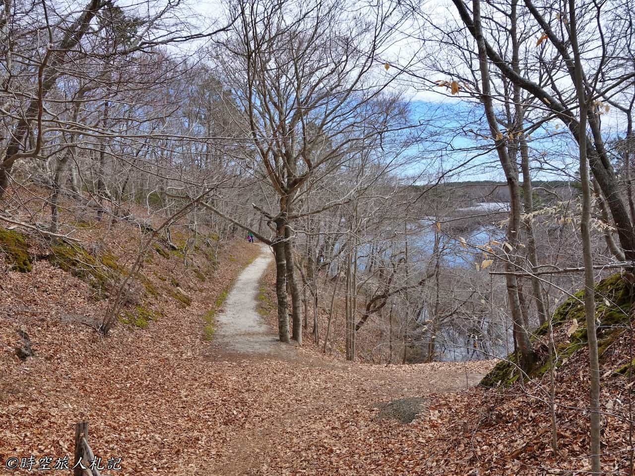
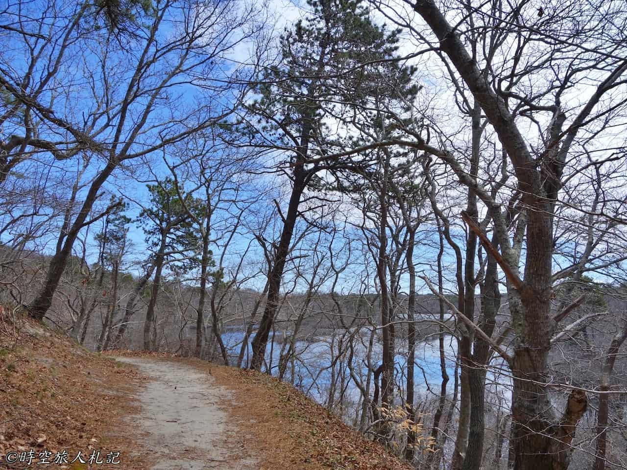
The Beach Forest Trail at Race Point is a forest trail along the beach, stretching for 10 miles. We walked a portion of the trail here, enjoyed the cool sea breeze, and found it quite comfortable to walk under the shade of the trees in the refreshing weather.
![Massachusetts Weekend Itinerary] Cape Cod 2-Day Tour | Cape Cod National Seashore | Provincetown 19 Cape cod, Cape cod national seashore, Cape Cod, Provincetown 18](https://blog.travelhackfun.com/wp-content/uploads/2022/05/batch_2015-04-26-11-05-38.jpg)


Pilgram's First Landing Park
The location of Pilgram’s First Landing Park requires you to drive along 6A towards Provincetown. The entrance is near Provincetown Inn, at a roundabout. Even during the off-season, there are still many people parking there. The endpoint of the Breakwater walk in the park is at the southern sandbar, Long Point, which is the hooked tip of Cape Cod that we see on the map. From a distance, pedestrians on the Breakwater walk seem to be walking on the sea.
The trail goes a bit further, and we can see two lighthouses in the distance on the left and right. The one on the left is the Long Point Lighthouse.
![Massachusetts Weekend Itinerary] Cape Cod 2-Day Tour | Cape Cod National Seashore | Provincetown 24 Cape cod, Cape cod national seashore, Cape Cod, Provincetown 23](https://blog.travelhackfun.com/wp-content/uploads/2022/05/batch_2015-04-26-11-56-29.jpg)
![Massachusetts Weekend Itinerary] Cape Cod 2-Day Tour | Cape Cod National Seashore | Provincetown 25 Cape cod, Cape cod national seashore, Cape Cod, Provincetown 24](https://blog.travelhackfun.com/wp-content/uploads/2022/05/batch_2015-04-26-12-00-54.jpg)
Provincetown
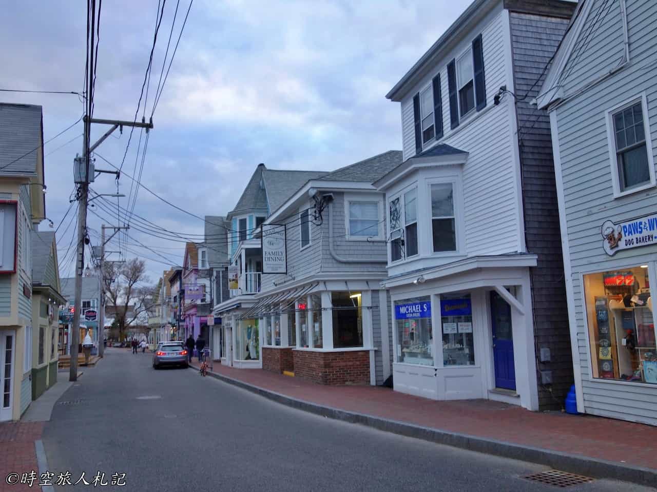
The northern tip of Cape Cod, Provincetown, also known as P-town, was the first landing place for the English when they arrived in America. Besides its historical significance, this small town has successfully transformed itself into New England's famous LGBTQ vacation destination. It features streets lined with shops, a ferry terminal, and seafood feasts. Rainbow flags flutter everywhere, and flyers promoting free-to-join parties in the evening can be seen on the roads.
Though it is a vacation destination, Provincetown is actually a very small town with only about three thousand residents, roughly the number of students in a high school. The main bustling area of Provincetown is at the intersection of Main Street and Commercial Street. It gets livelier during the peak season when you can see street performers on the roads. People who enjoy lively atmospheres should visit in the summer. For someone like me, who doesn't love crowds, leisurely strolling around the beautiful small shops on the streets is quite satisfying. During our two-day trip to Cape Cod, we spent about half a day walking around and exploring Provincetown.
![Massachusetts Weekend Itinerary] Cape Cod 2-Day Tour | Cape Cod National Seashore | Provincetown 27 Cape cod, Cape cod national seashore, Cape Cod, Provincetown 26](https://blog.travelhackfun.com/wp-content/uploads/2022/05/batch_2015-04-25-18-09-07.jpg)
Provincetown City Hall
In the 19th century, Provincetown attracted many immigrants from Portugal, so the environment here is greatly influenced by Portuguese culture. The architecture of City Hall has a distinctly Portuguese style.
![Massachusetts Weekend Itinerary] Cape Cod 2-Day Tour | Cape Cod National Seashore | Provincetown 28 Provincetown](https://blog.travelhackfun.com/wp-content/uploads/2022/05/batch_2015-04-25-18-08-38.jpg)
Pilgrim Monument
The landmark of the town is the Pilgrim Monument, commemorating the history of the Pilgrims who sailed across the ocean in 1620 and made a brief stop in Provincetown. It is open for visits during the day, with an entrance fee of $7, and requires a walk up the tower.
![Massachusetts Weekend Itinerary] Cape Cod 2-Day Tour | Cape Cod National Seashore | Provincetown 29 Cape cod, Cape cod national seashore, Cape Cod, Provincetown 27](https://blog.travelhackfun.com/wp-content/uploads/2022/05/batch_2015-04-25-18-16-32.jpg)
![Massachusetts Weekend Itinerary] Cape Cod 2-Day Tour | Cape Cod National Seashore | Provincetown 30 Cape cod, Cape cod national seashore, Cape Cod, Provincetown 28](https://blog.travelhackfun.com/wp-content/uploads/2022/05/batch_2015-04-25-18-11-21.jpg)
Provincetown Library
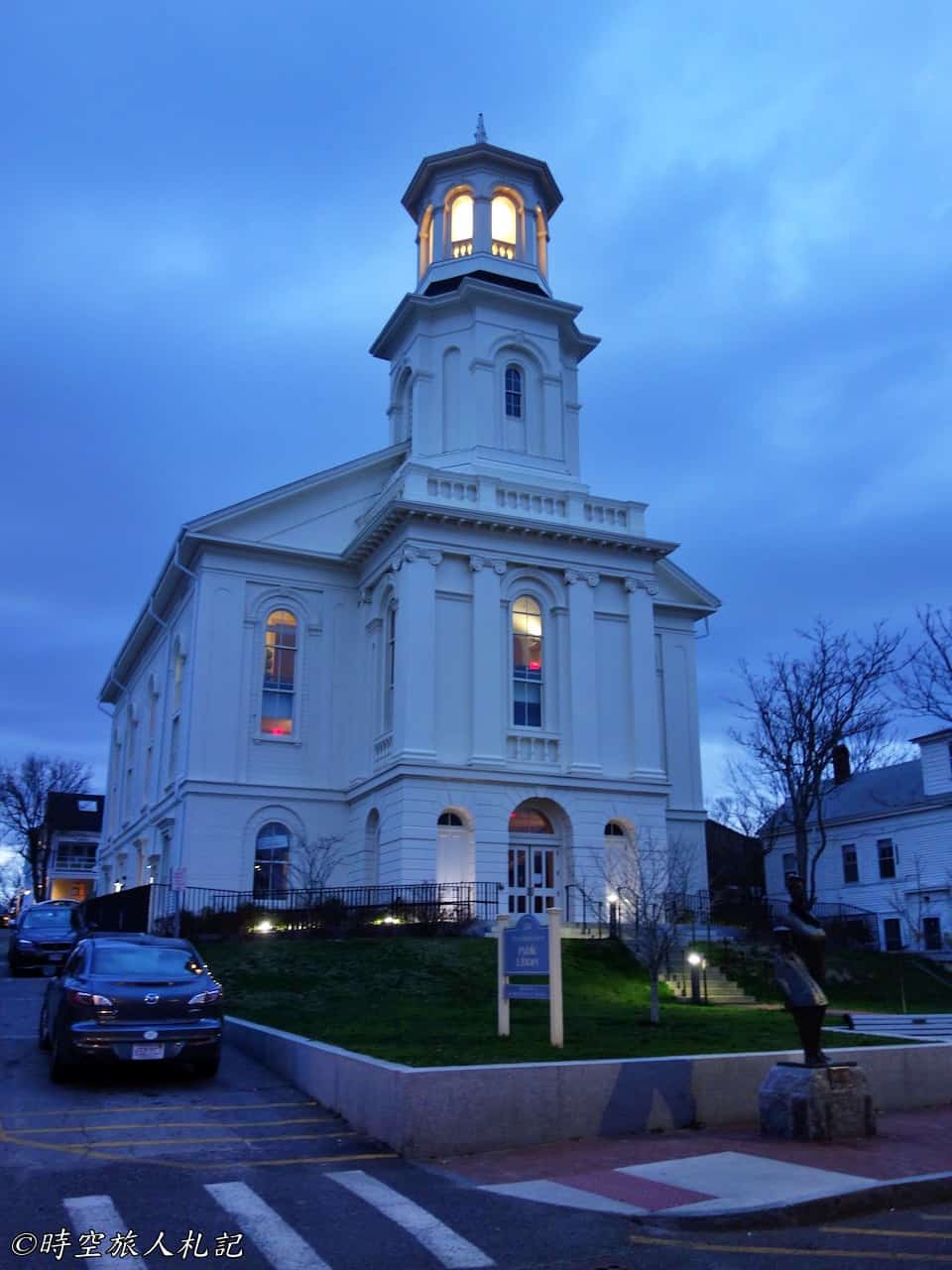
The interior of the Provincetown Library features numerous historical exhibits. For instance, The schooner Rose Doronthea commemorates Provincetown's fishermen and the shipbuilding tradition of New England. Rose Doronthea is a fishing schooner specially constructed in 1907 to participate in the Lipton Cup competition during Massachusetts' old home celebration week. This race was limited to fishing vessels and covered a distance of 42 miles, making it a sensational event at that time. Naturally, Rose Doronthea won the cup, and as a result, this piece of history is preserved and showcased in the library exhibition.
Provincetown Pier
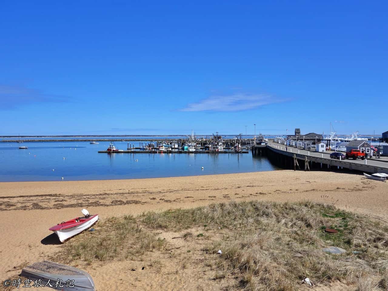
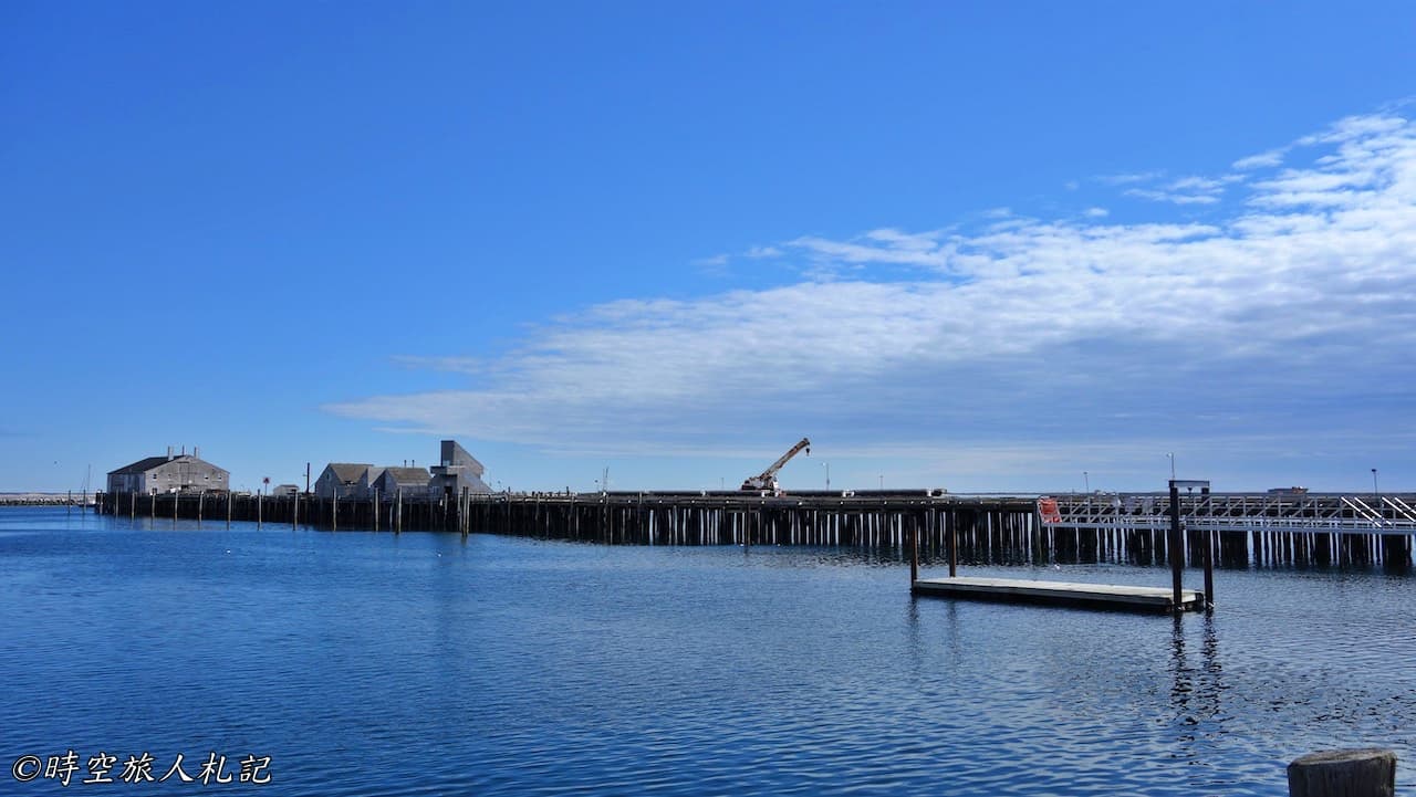
Restaurants and shops are abundant in front of the Provincetown pier. Walking to the end of the pier and then looking back at Provincetown, the entire Commercial Street is in full view. When there are fewer people, strolling on the pier feels open and comfortable, filled with a unique artistic vibe. On the pier, you can look at the sea, watch the boats, and visit art shops. In the slightly cool late spring, it is filled with a sense of happiness.
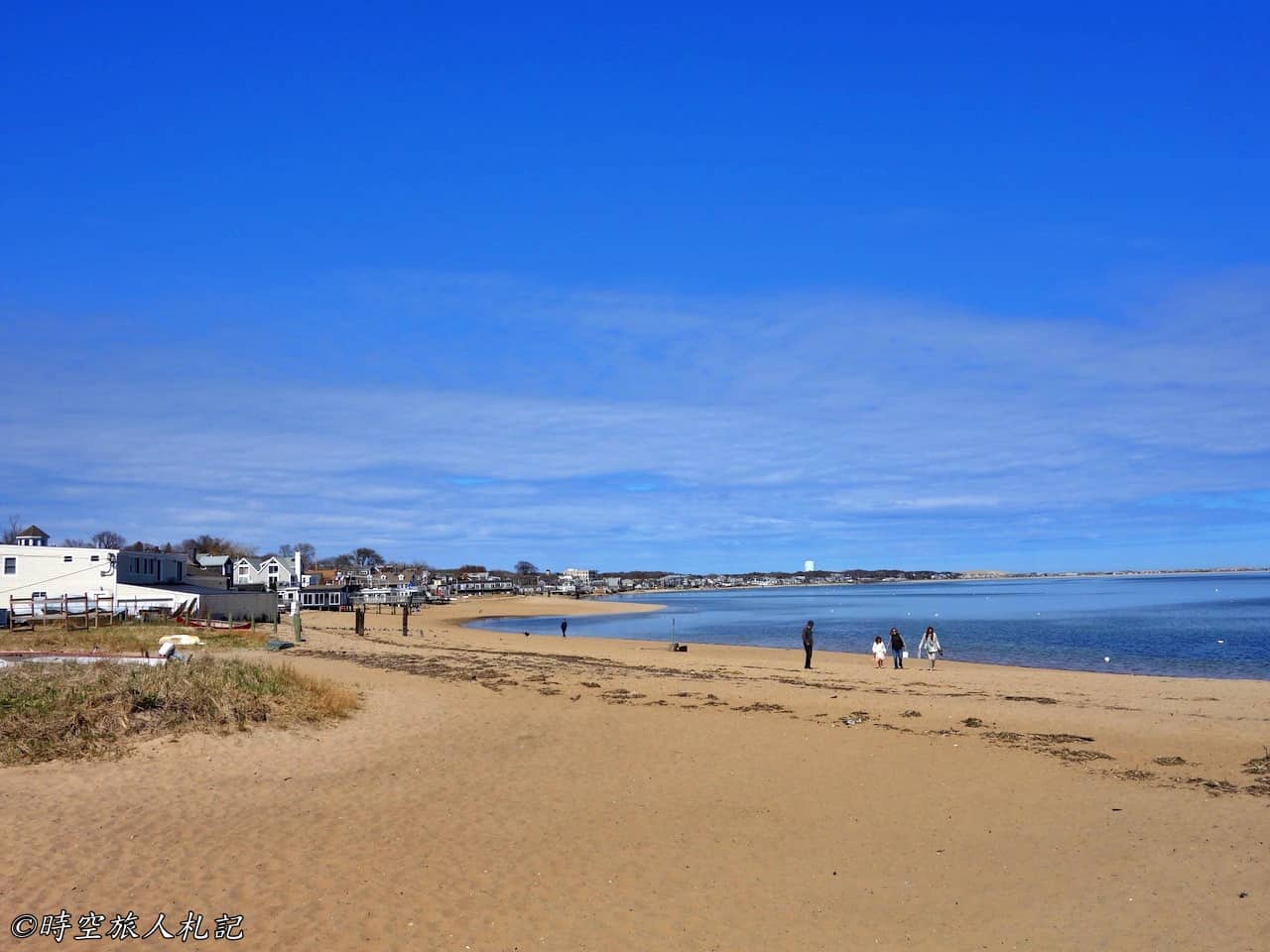
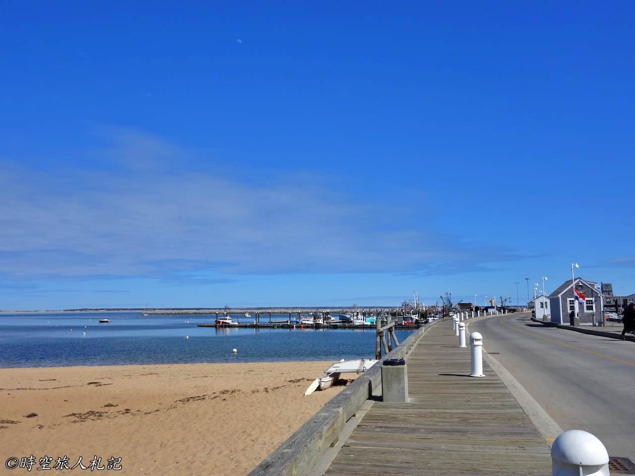
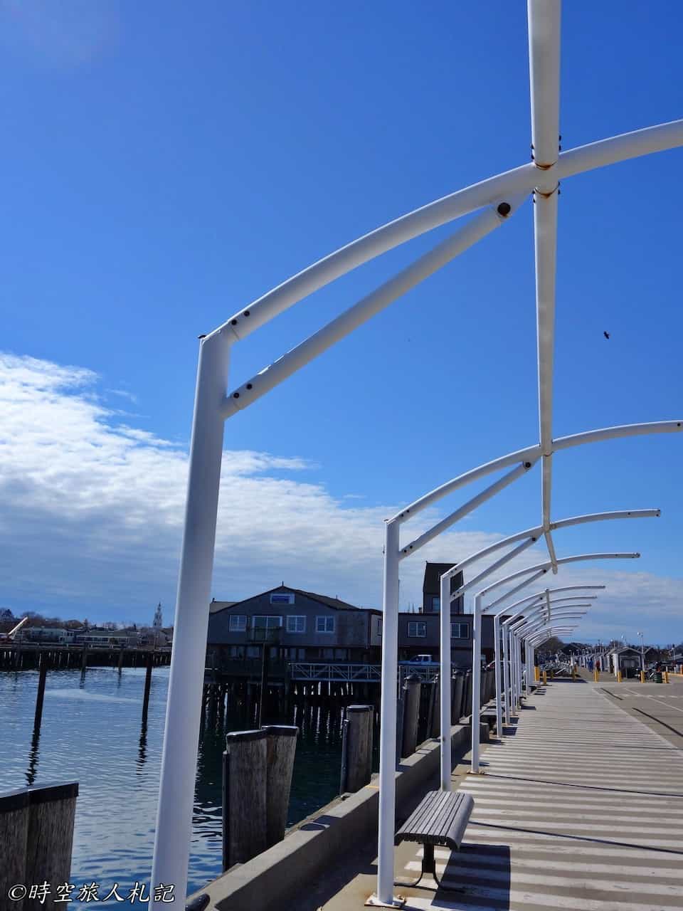
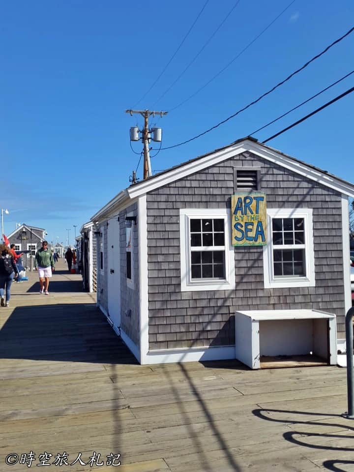
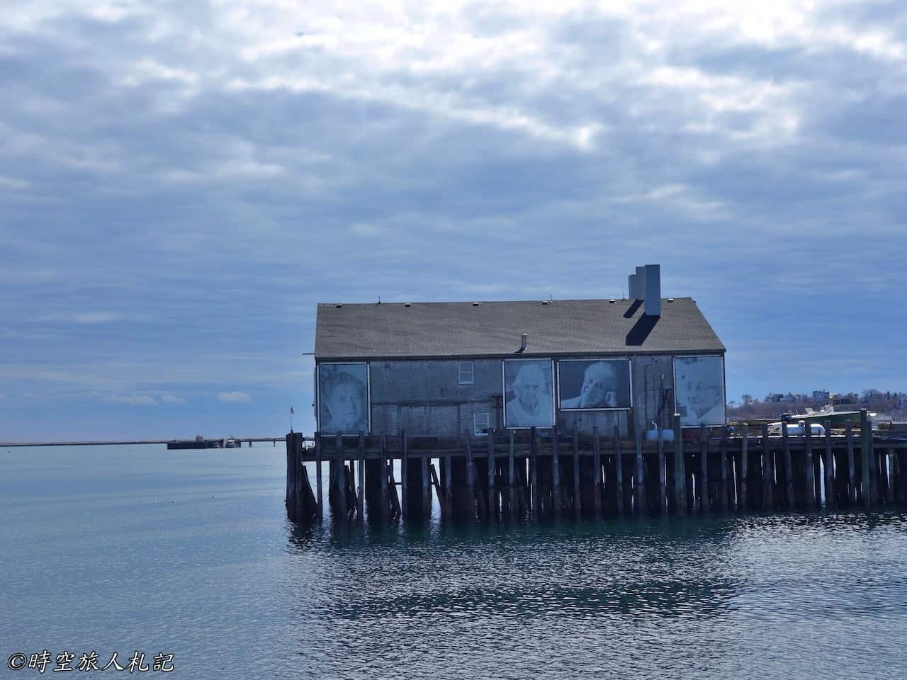
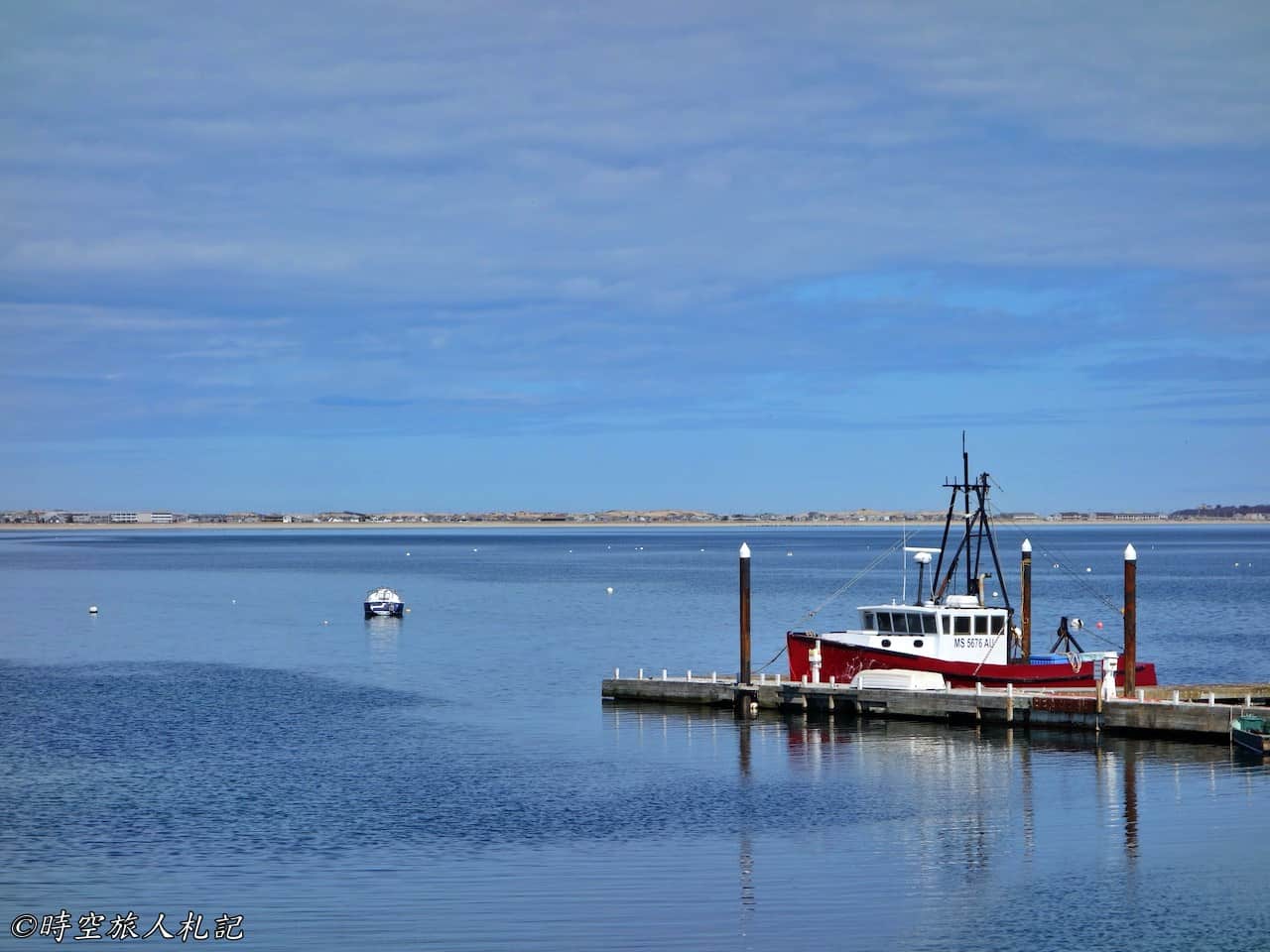
I also encountered a fishing boat returning to the harbor. The boat was fully loaded with a catch of shellfish, which is in season during spring. It looks like a bountiful harvest. Reluctantly lingering here for quite a while, I finally said farewell to the beautiful scenery where the sea and sky merge into one and began the journey home.
![Massachusetts Weekend Itinerary] Cape Cod 2-Day Tour | Cape Cod National Seashore | Provincetown 38 Cape cod, Cape cod national seashore, Cape Cod, Provincetown 36](https://blog.travelhackfun.com/wp-content/uploads/2022/05/batch_2015-04-26-14-16-06.jpg)
![Massachusetts Weekend Itinerary] Cape Cod 2-Day Tour | Cape Cod National Seashore | Provincetown 40 Cape cod, Cape cod national seashore, Cape Cod, Provincetown 38](https://blog.travelhackfun.com/wp-content/uploads/2022/05/batch_2015-04-26-14-18-03.jpg)
![Massachusetts Weekend Itinerary] Cape Cod 2-Day Tour | Cape Cod National Seashore | Provincetown 41 Cape cod, Cape cod national seashore, Cape Cod, Provincetown 39](https://blog.travelhackfun.com/wp-content/uploads/2022/05/batch_2015-04-26-14-19-49.jpg)
![Massachusetts Weekend Itinerary] Cape Cod 2-Day Tour | Cape Cod National Seashore | Provincetown 42 Cape cod, Cape cod national seashore, Cape Cod, Provincetown 40](https://blog.travelhackfun.com/wp-content/uploads/2022/05/batch_2015-04-26-14-21-24.jpg)
![Massachusetts Weekend Itinerary] Cape Cod 2-Day Tour | Cape Cod National Seashore | Provincetown 43 Cape cod, Cape cod national seashore, Cape Cod, Provincetown 41](https://blog.travelhackfun.com/wp-content/uploads/2022/05/batch_2015-04-26-14-32-34.jpg)
![Massachusetts Weekend Itinerary] Cape Cod 2-Day Tour | Cape Cod National Seashore | Provincetown 45 Cape cod, Cape cod national seashore, Cape Cod, Provincetown 43](https://blog.travelhackfun.com/wp-content/uploads/2022/05/batch_2015-04-26-14-42-03.jpg)
Cape Cod | Dining | Lobster Pot
- Rating: ⭐️⭐️⭐️⭐️
- Price: $$$
Our trip to Cape Cod included dining at The lobster pot by the Provincetown harbor on both days. The location of this restaurant is very convenient, and it is quite famous. Even during the off-season, there was a line at the entrance, so it should be easy for anyone to find it. The biggest advantage of this restaurant is probably its excellent seaside view by the harbor. The seafood is quite fresh, and although the prices are a bit high due to being a tourist spot, they are still acceptable.
On the first evening, we ordered 4 dishes.
- Lobster Rivoli: This is a signature appetizer recommended online, but personally, I think the taste is quite average.
- Appetizer Steamed clams: I ordered this because I usually like clams, and it was okay.
- Cajun Bouillabaisse: A seafood stew with a variety of seafood. The seasoning is quite good, and the ingredients are all very fresh.
- Portuguese fish: The highlight is the seasoning and the freshness of the seafood. Considering it is located in a bustling tourist area, this popular restaurant's main dish can be rated eight out of ten.

![Massachusetts Weekend Itinerary] Cape Cod 2-Day Tour | Cape Cod National Seashore | Provincetown 47 Cape cod, Cape cod national seashore, Cape Cod, Provincetown 45](https://blog.travelhackfun.com/wp-content/uploads/2022/05/batch_2015-04-25-17-09-48.jpg)
![Massachusetts Weekend Itinerary] Cape Cod 2-Day Tour | Cape Cod National Seashore | Provincetown 48 Cape cod, Cape cod national seashore, Cape Cod, Provincetown 46](https://blog.travelhackfun.com/wp-content/uploads/2022/05/batch_2015-04-25-17-32-38.jpg)

We ordered four dishes the next day. However, since we had quite a lot of seafood the previous day, we decided to tone it down a bit this time:
- Lobster bisque: A typical lobster bisque.
- Clam chowder: It actually is very rich.
- Lobster Salad Panini: The lobster was very fresh, and the Panini is a cold sandwich. Personally, I felt that the sauce was a bit too much.
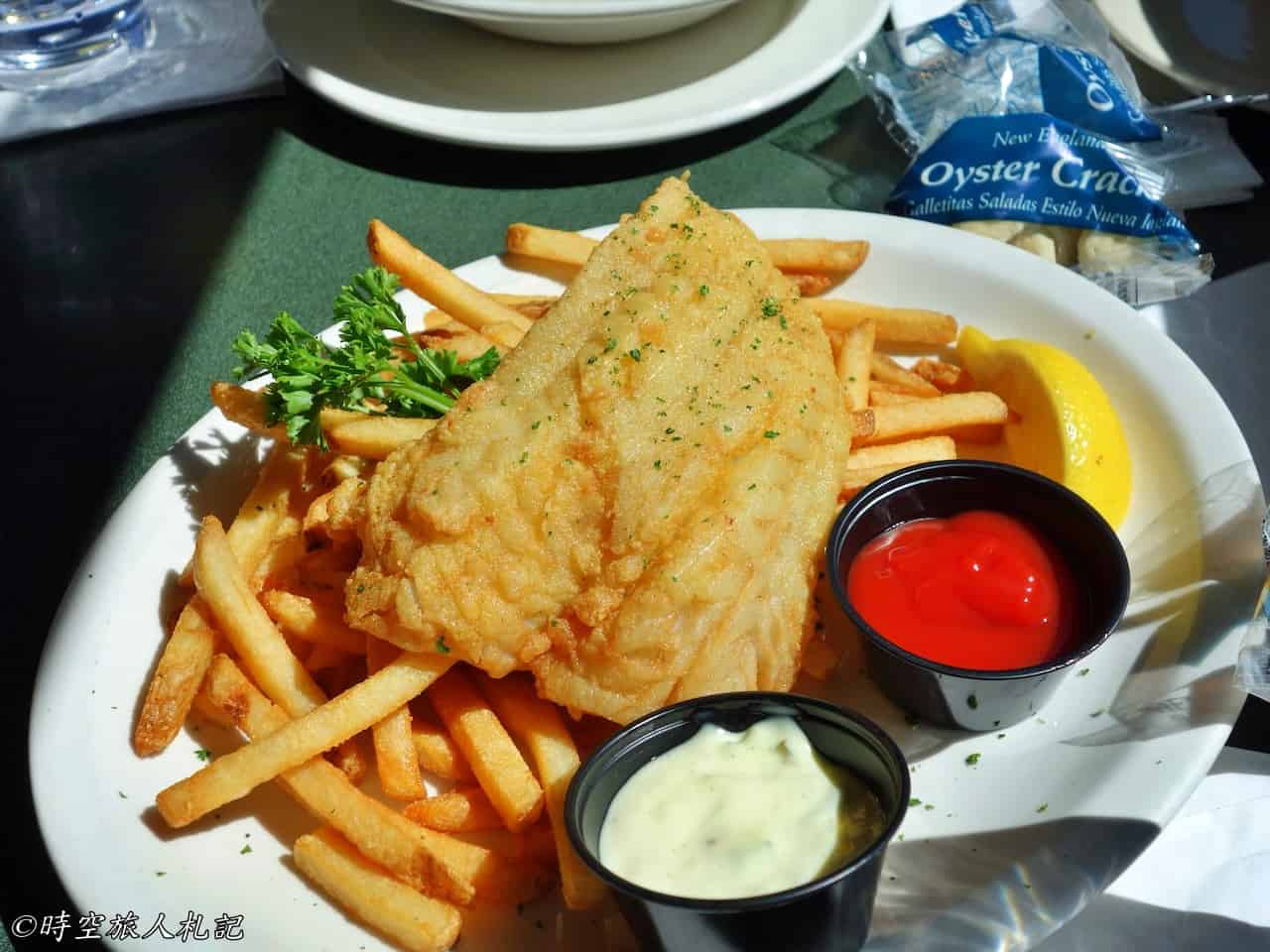
- Fish and chips: The fish is notably fresh, well-seasoned, and fried to perfection. The French fries, however, are only passable.
![Massachusetts Weekend Itinerary] Cape Cod 2-Day Tour | Cape Cod National Seashore | Provincetown 50 Cape cod, Cape cod national seashore, Cape Cod, Provincetown 47](https://blog.travelhackfun.com/wp-content/uploads/2022/05/batch_2015-04-26-13-22-47.jpg)


Further reading
- More abbr. for MassachusettsTravel
Thank you for visiting our website.
All the content on this site is original and shared with the purpose of providing valuable information. We sustain the operation of this site through a small amount of advertising and sponsored links. If you click on links to third-party merchants on our site and make purchases, we may receive a portion of the sales as a commission. If you click on links to third-party merchants on our site and make purchases, we may receive a portion of the sales as a commission.
If you want to support my free contents, you can Buy me a coffee here!
Find more posts on a map Here.
My recommended resources for hotel bookings.
Recommended travel credit card for US-based travelers
Travel with just a backpack!
If you are interested in quoting this article or using any part of its content and images on your website or publication, please contact us via email to request permission.