Contents
Mt Diable State Park | Introduction
Mt. Diablo State Park, located in Contra Costa County in the eastern San Francisco Bay Area of California, is one of the region's most popular natural reserves. With an elevation of 3,849 feet, the summit offers spectacular 360-degree panoramic views, where visitors can see the Pacific Ocean, the San Francisco skyline, and even the Sierra Nevada Mountains on clear days. The park features numerous hiking trails suitable for outdoor enthusiasts of all skill levels, along with campgrounds and stargazing spots. Whether visiting for the blooming wildflowers in spring, the stunning sunrises of summer, or the crisp, clear vistas of fall and winter, Mt. Diablo is a year-round destination. Spring and fall are the best times to visit Mt. Diablo State Park, offering cool, pleasant weather, clear views, and the added natural beauty of wildflowers and autumn foliage. Summer temperatures can be high, making early morning or evening hikes more favorable.
Mt Diablo State Park | Transportation & Trip Planning
It takes approximately 1 hour and 15 minutes to drive from San Francisco. Head south on I-680, then take Diablo Rd or Ygnacio Valley Rd to reach the park entrance. There is a $10 day-use fee for vehicle entry. Parking at the summit is limited, so it is recommended to arrive in the morning.
There are two main entrances to the park. The **North Gate Entrance** is accessed from Walnut Creek via North Gate Road. The **Mitchell Canyon Entrance** is located in the town of Clayton and is a popular trailhead, providing convenient access to the Summit Trail. The park’s main road, **Summit Road**, leads directly to the summit. Along the way, visitors can enjoy scenic views of lush forests and mountain landscapes.
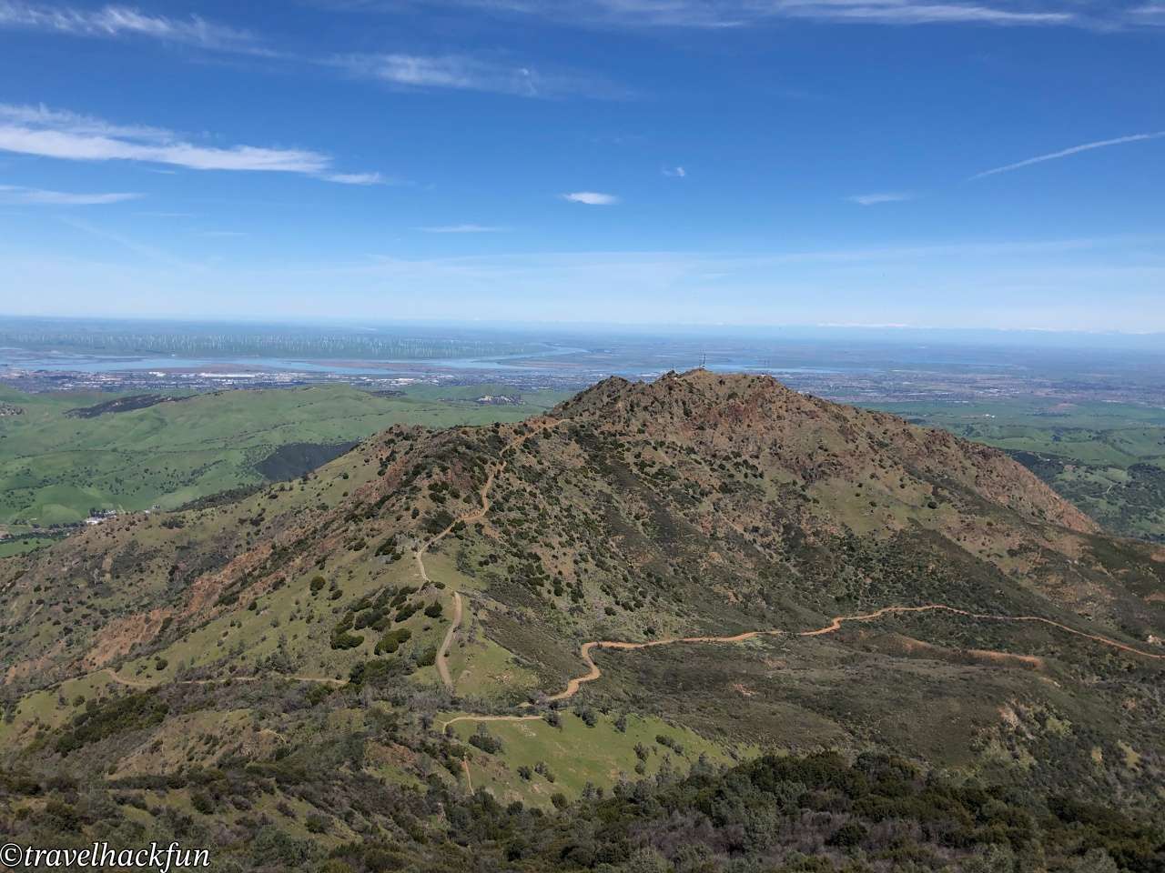
The most popular campground in the park is Juniper Campground, located near the summit. It offers stunning views, making it easy to enjoy both sunrises and sunsets.
- Hotel search: Agoda
- Activities & tickets: KKday / Klook / TripAdvisor
- Travel credit cards (US only): My card picks + beginner tips
Mt Diablo State Park | Attractions & Trails
Attractions | Summit Visitor Center
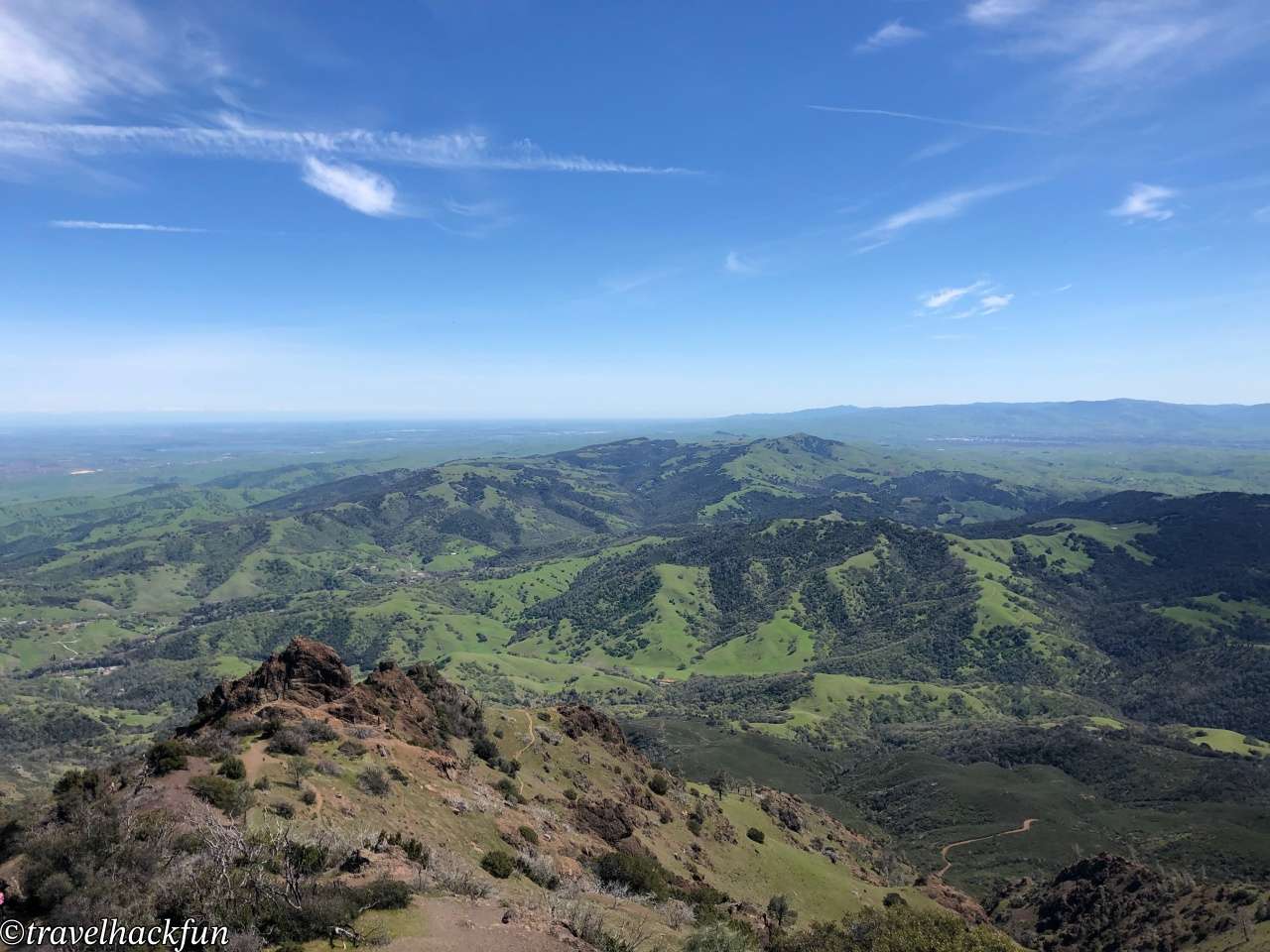
The summit is the heart and soul of **Mt. Diablo**, standing at 3,849 feet and offering the most breathtaking 360-degree panoramic views in the Bay Area — a true highlight of the journey. The summit is accessible by car, making it easy to reach the highest point of **Mt. Diablo State Park** even for those who prefer minimal hiking.
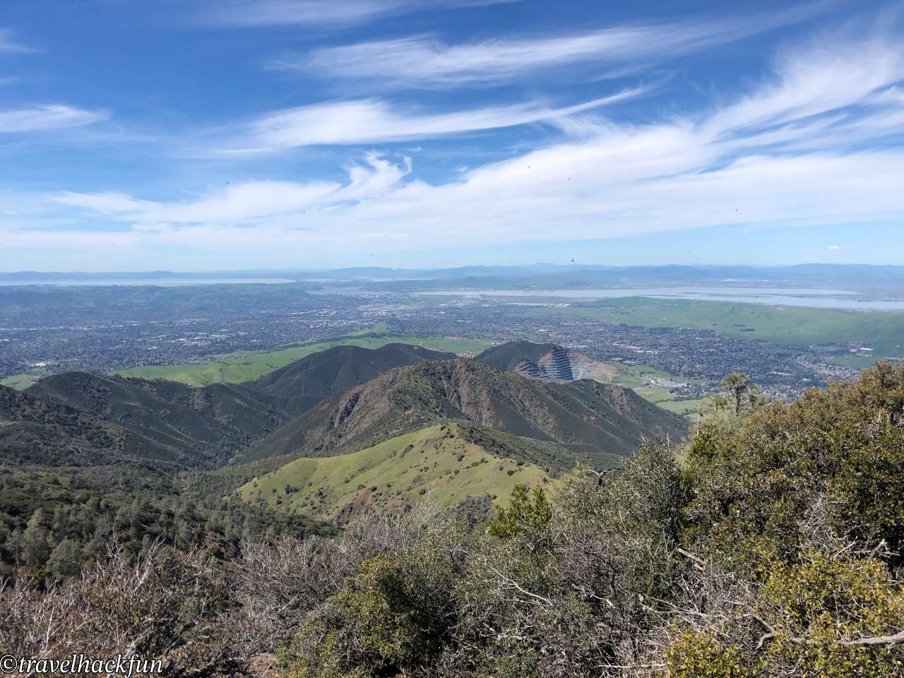
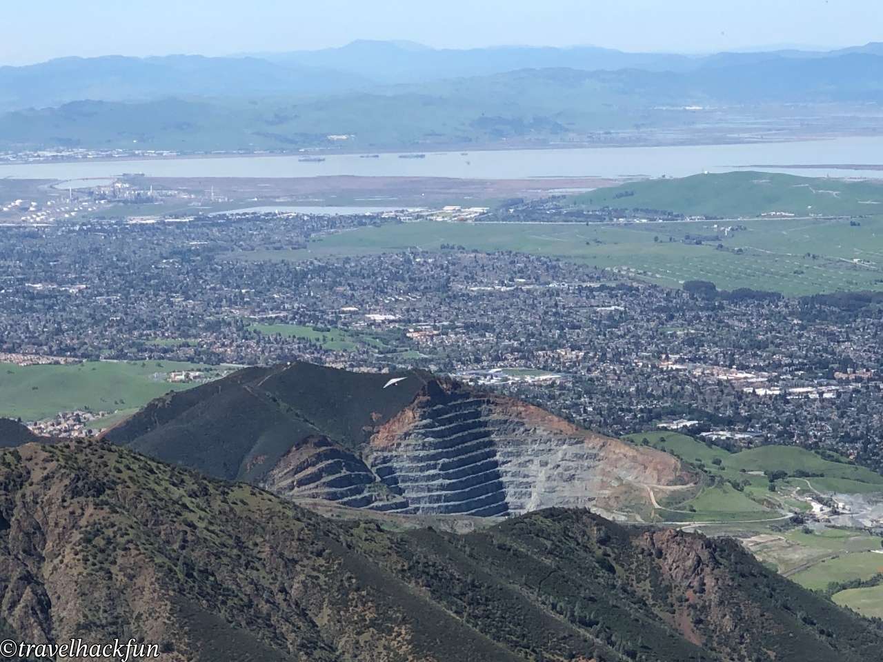
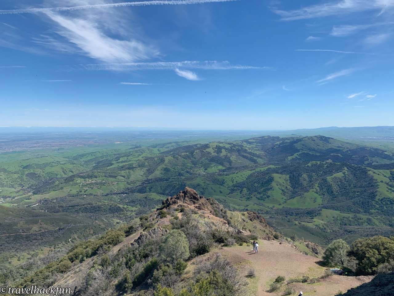
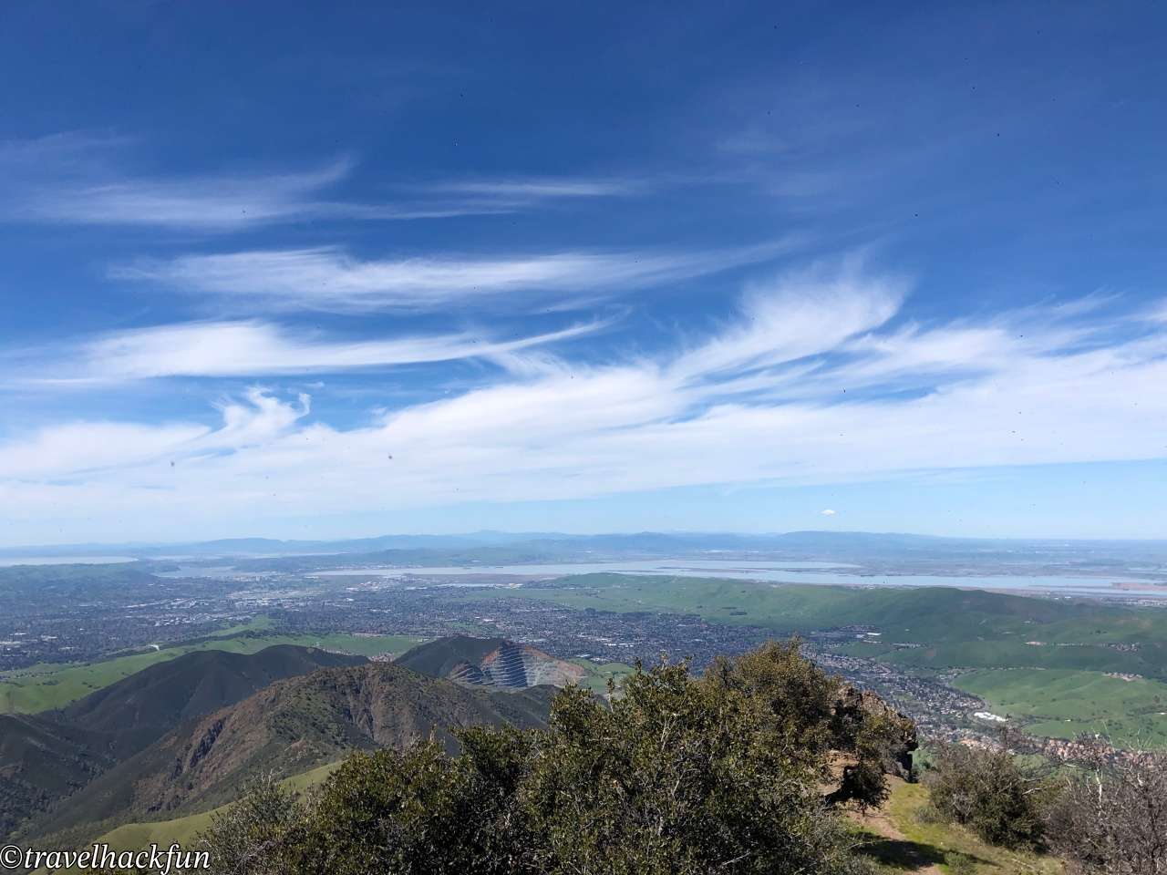
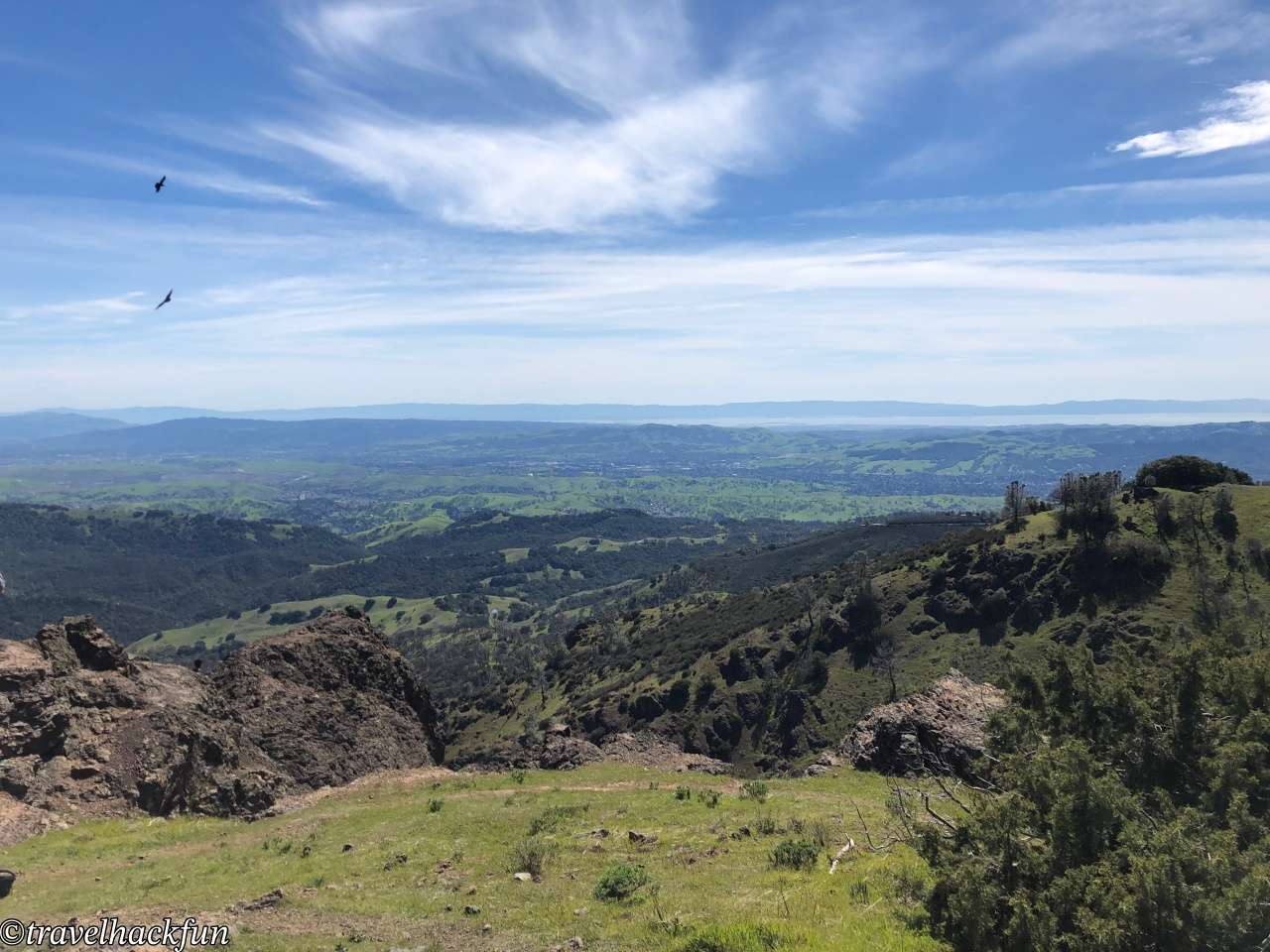
The 360-degree observation deck is a must-see highlight. On clear days, visitors can take in stunning views of the San Francisco Bay Area, the Golden Gate Bridge, the Pacific Ocean, and even the Sierra Nevada Mountains. The breathtaking vistas are truly awe-inspiring. If you're lucky, you might catch a sunrise or sunset, with the changing light adding even more beauty to the scenery.
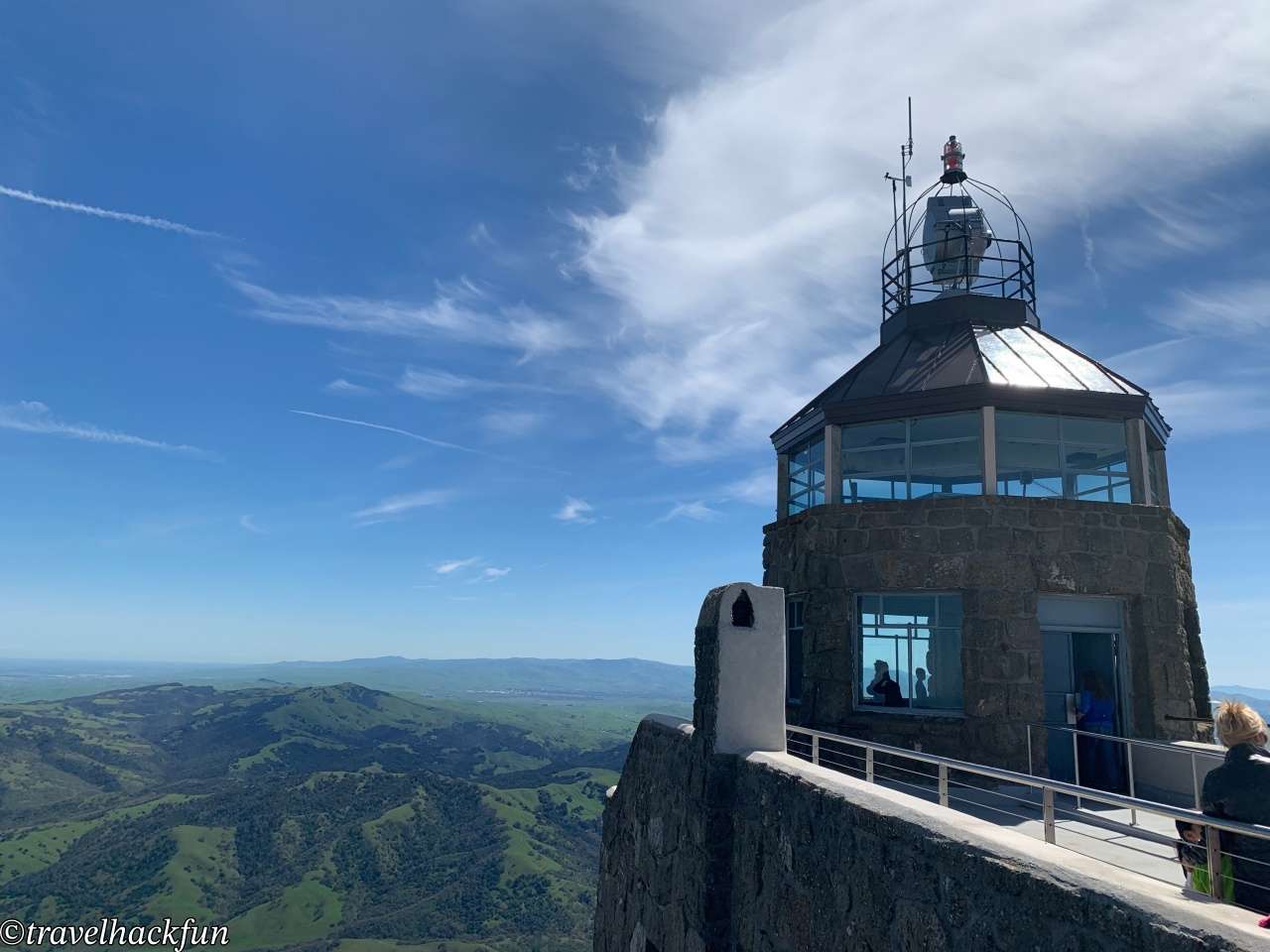
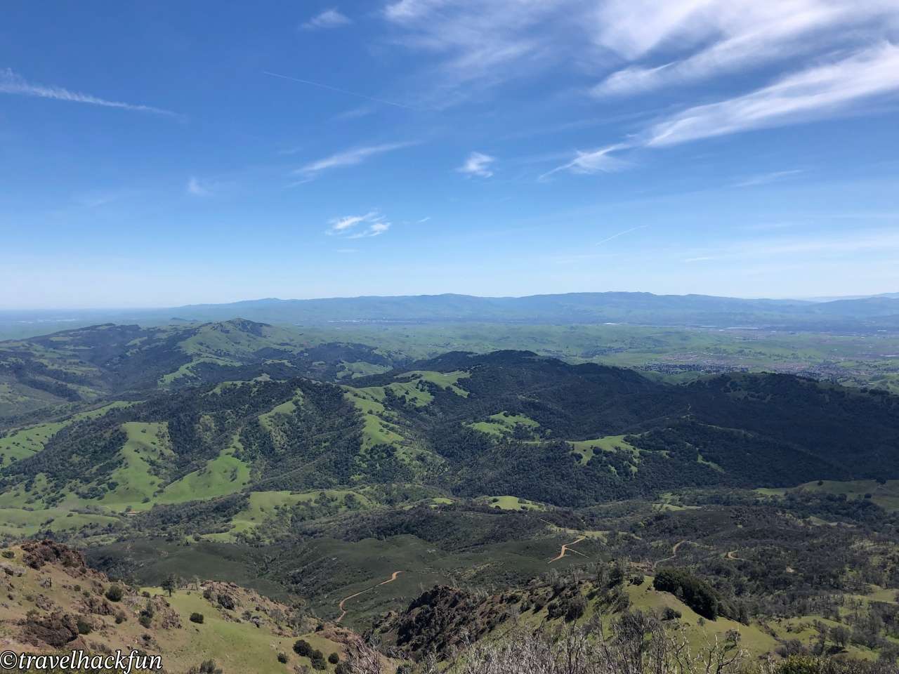
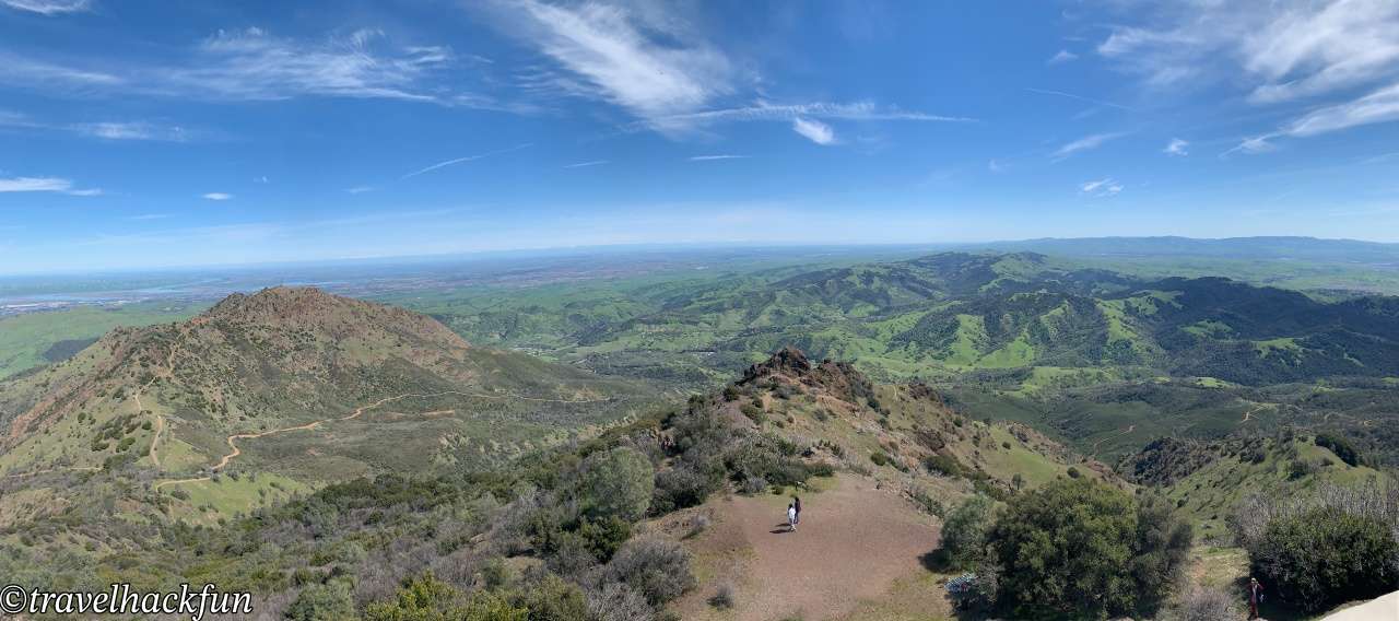
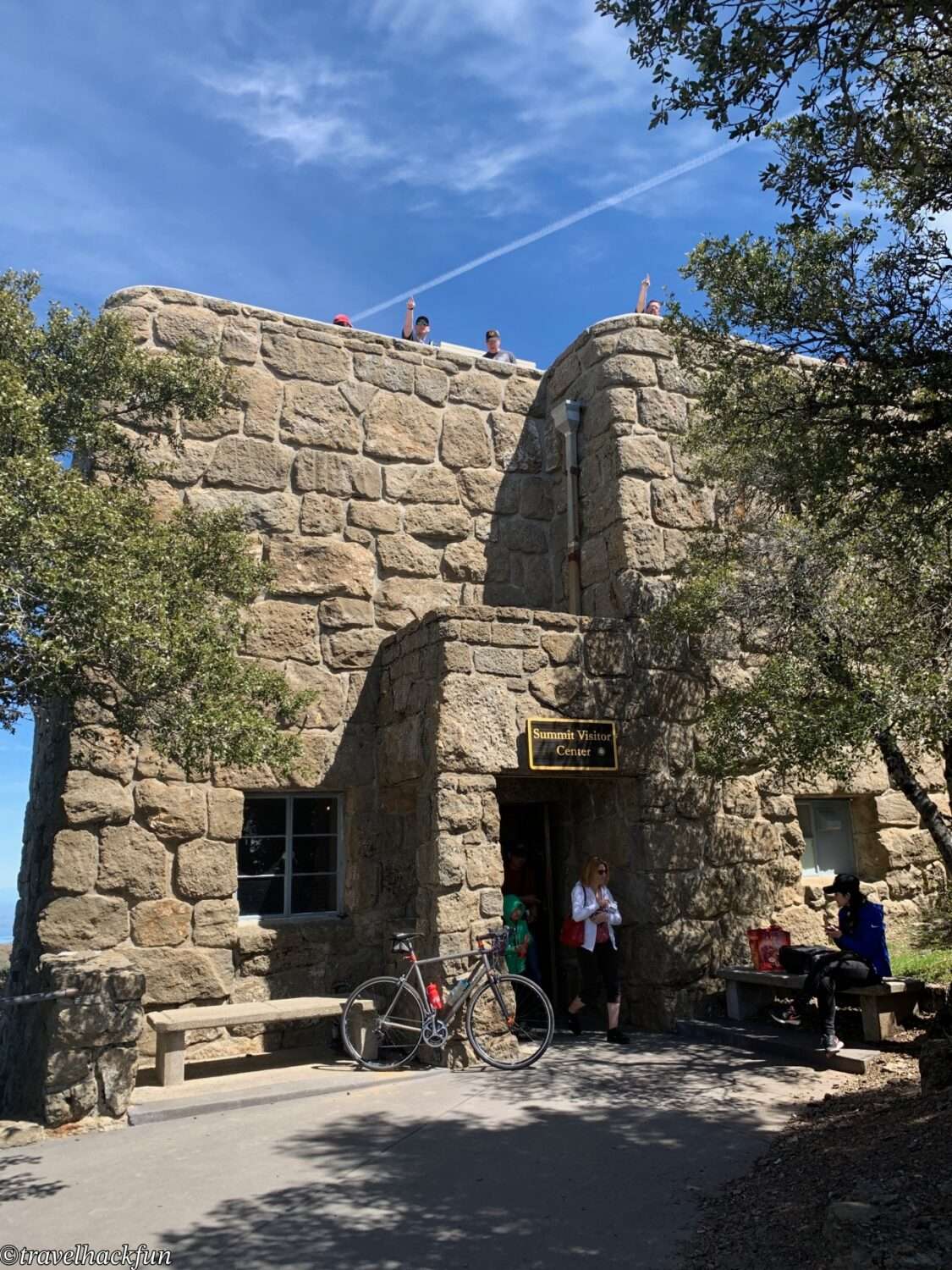
The Summit Visitor Center at the peak offers geographic and historical exhibits, helping visitors gain a deeper understanding of the mountain.
Must-see Trails | Mary Bowerman Trail
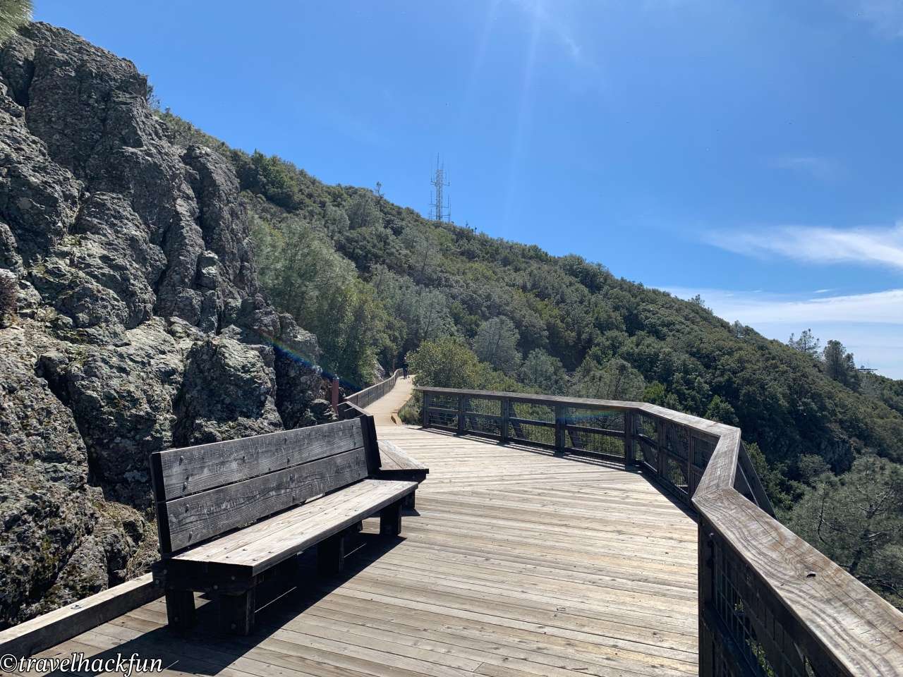
This loop trail is the most accessible hiking route at **Mt. Diablo**, suitable for visitors of all ages and hiking experience levels. The trailhead is located right next to the **Summit Visitor Center** parking lot, with a total length of about 1.6 kilometers (1 mile). The path is smooth, easy to walk, and features interpretive signs along the way that introduce the geography and ecology of Mt. Diablo. As you stroll, you can enjoy the surrounding natural landscapes, including volcanic rock formations and unique vegetation.
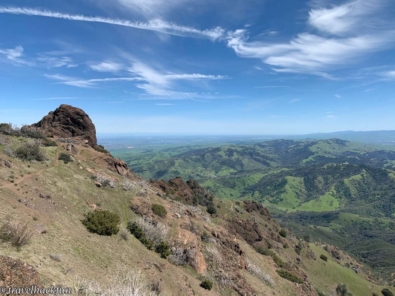
Although short, the trail offers multiple perspectives of Mt. Diablo's stunning scenery. As you move along, you'll get sweeping views of the Bay Area from different angles, including westward toward the Golden Gate Bridge and eastward toward the San Joaquin Valley.
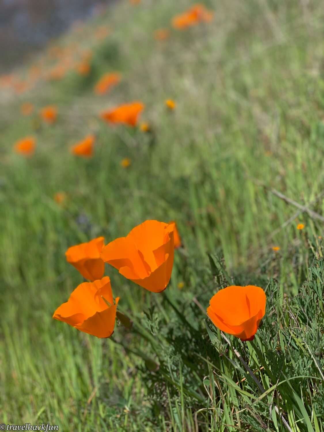
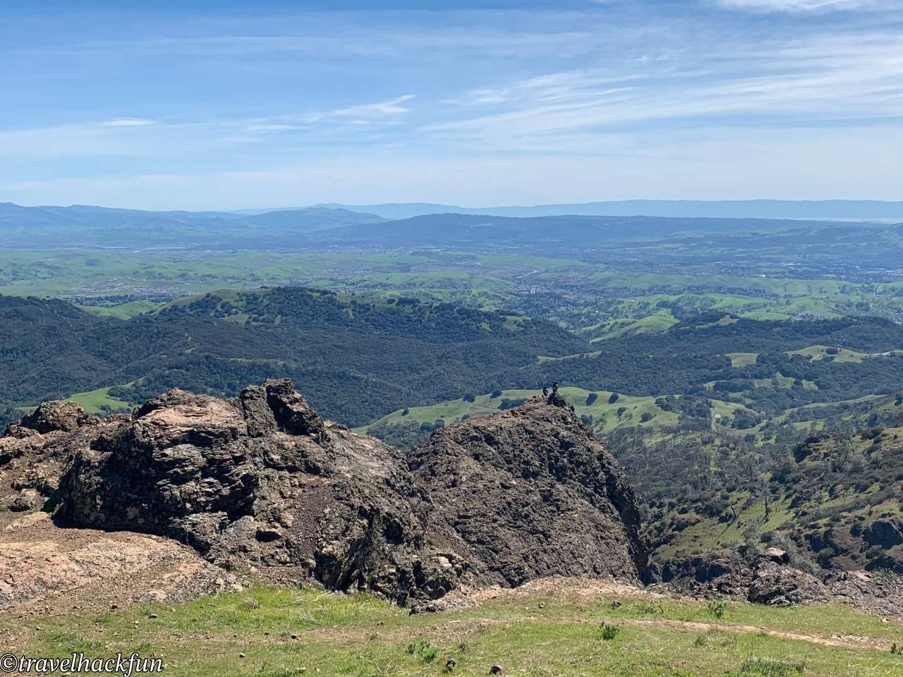
Along the trail, there are several prominent rock outcrops and small platforms that serve as ideal spots for photographing the mountains and distant landscapes. On clear days, the visibility is exceptional, allowing you to see as far as the Sierra Nevada Mountains, 100 miles away. During spring, blooming wildflowers add a burst of color and vitality to the trail. At the trail's final viewing platform, you'll be treated to sweeping, breathtaking views of the San Francisco Bay Area — an experience not to be missed.
Trails | North Peak Trail
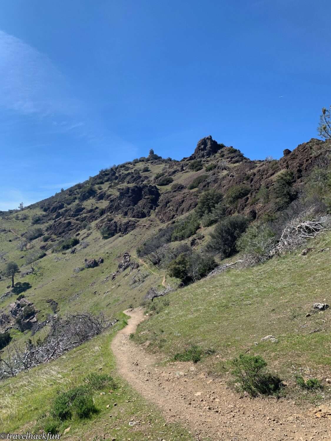
The North Peak Trail is a more challenging route that’s well worth the effort. Starting along Summit Road, the trail offers spectacular scenery, with views of steep ridges and rolling mountain terrain. North Peak, the second-highest summit on Mt. Diablo, provides a unique perspective different from the main peak. Some sections of the trail are steep, so it’s recommended to wear comfortable hiking shoes and bring plenty of water and food for the journey.
☕ Enjoying my travel notes?
You can Buy me a coffee to support what I do 🙌
Further reading
- More Northern California posts
- More San Francisco posts